
We left Captain Cook before the coqui frogs woke up or did they wake us up?
Mauna Kea Access Road
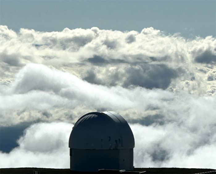
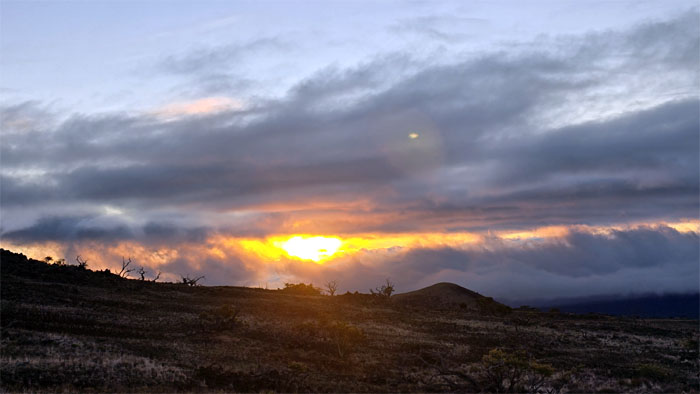
It took us under two hours to drive up to the Visitor Information Center located at 9,200′ elevation as we saw the sunrise burning through the thick colored clouds.
VIS
We met Matt who had zoomed-zoomed in his rented Mustang from Hilo to Mauna a Wakea (White Mountain) where we spent the next hour acclimating to the higher altitude.
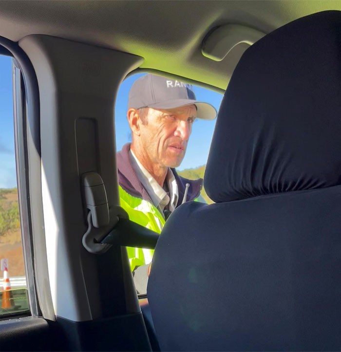
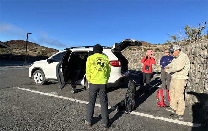
Ranger Checkpoint
Nobody under 13? Not talking about behavior. The winds are high 30s, 40s. It’s minus. Freezing. You plan to drive up there? Not with less than half a tank of gas. This car is not going up to the summit.
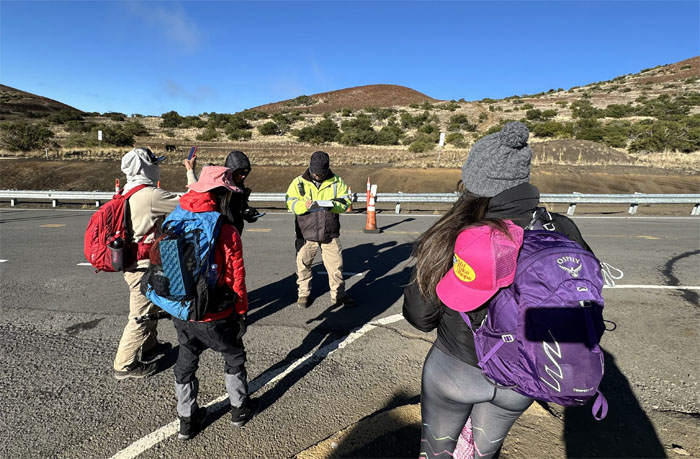
Ranger Checkpoint
Roger went back down the mountain to fill up the tank. The rest of us got our briefing on what to expect and what to do. How much water do you have? Two liters. Not enough.
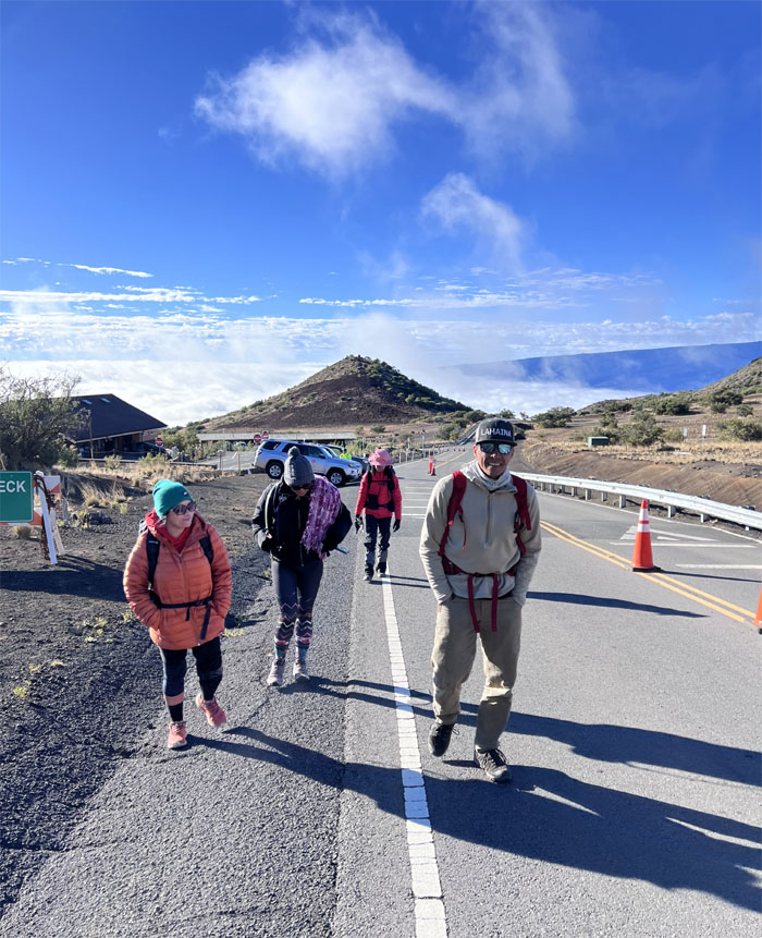
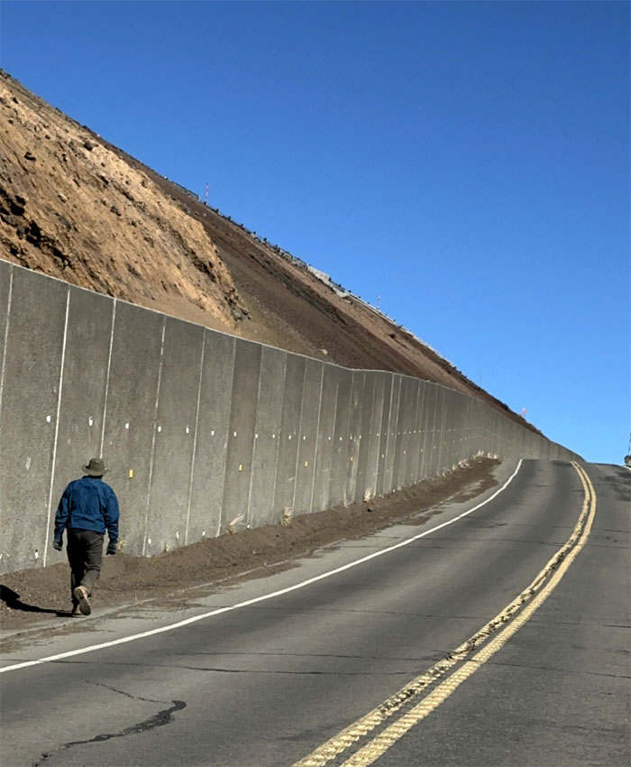
Mauna Kea Access Road
Properly acclimated and briefed, we pushed off on the road to start our hike.
Mauna Kea Access Road
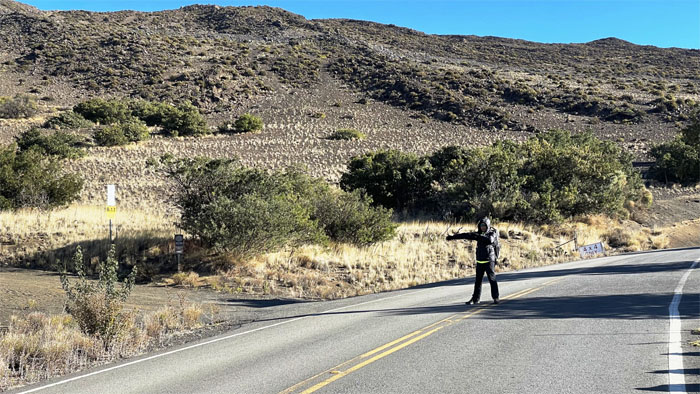
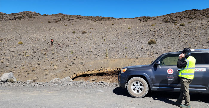
Traffic control. R17 is this way.
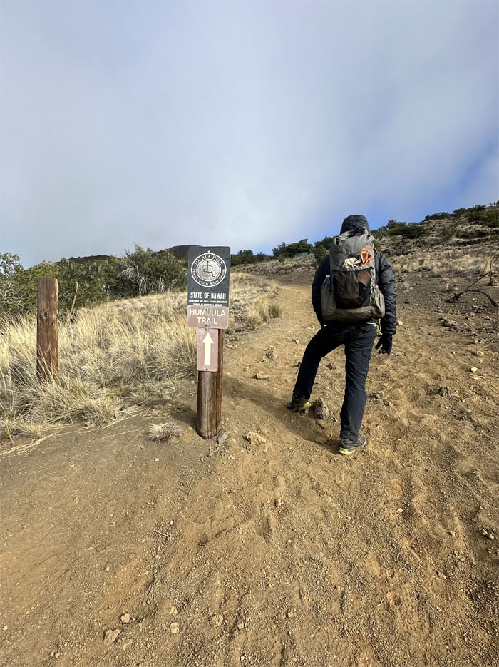
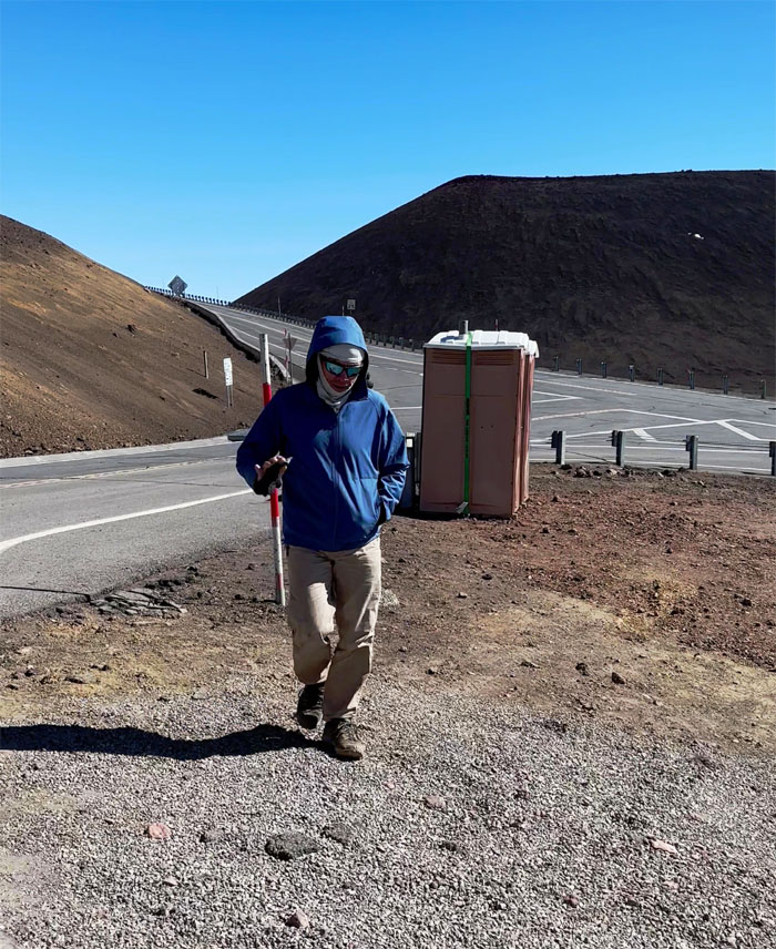
Humu’ula Trail
Leaving the road that was built in 1964 for the dirt trail.
Humu’ula Trail
This is the way. In 1823, Joseph Goodrich, an American missionary, was the first documented foreigner to make the climb to the summit from the base.
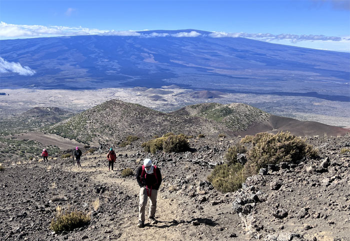
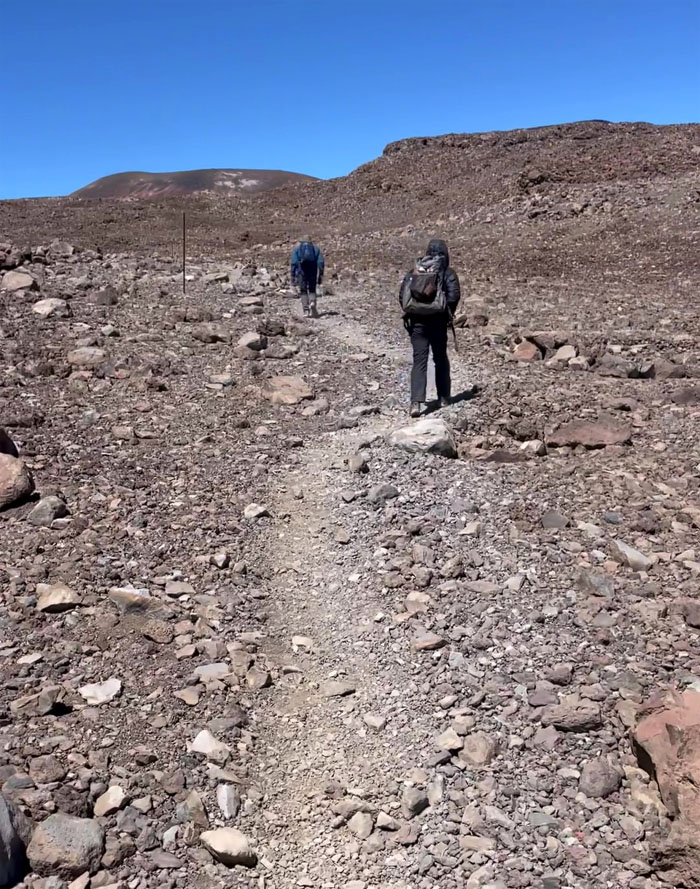
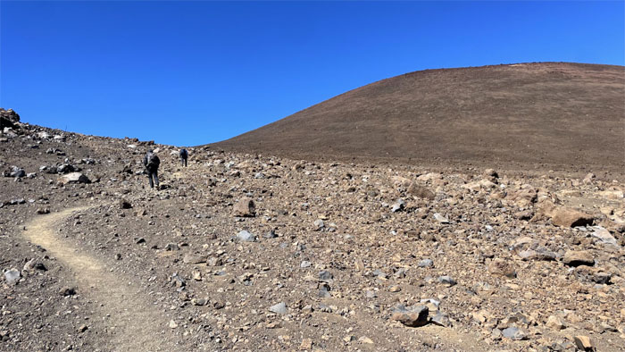
Humu’ula Trail
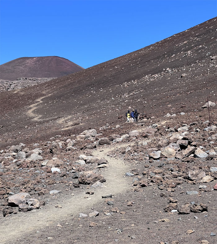
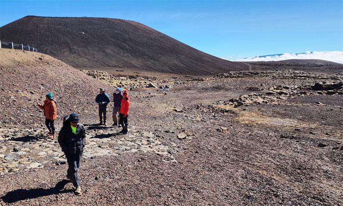
One of multiple cinder cones in the background.
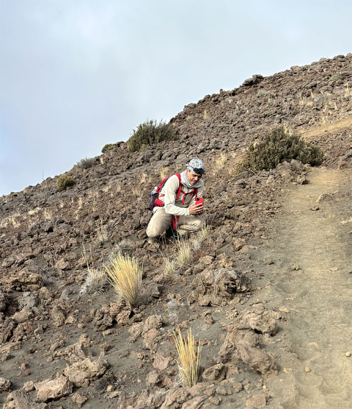
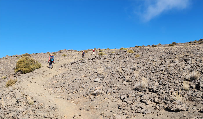
Humu’ula Trail
Matt going off trail to take photos of endemic or invasive species?
Humu’ula Trail
Fad or fact? Aida breathing in canned oxygen. Many pundits are of the opinion that this is purely a placebo effect and that it has nothing to do with physiology. The driving fact is that barometric pressure is lower at higher altitudes, which helps to drive oxygen to your lungs. Your body simply is not delivering enough oxygen as it would at sea level.
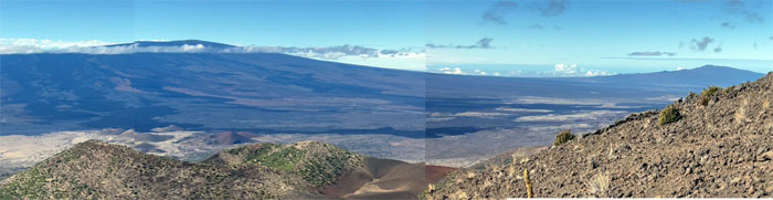
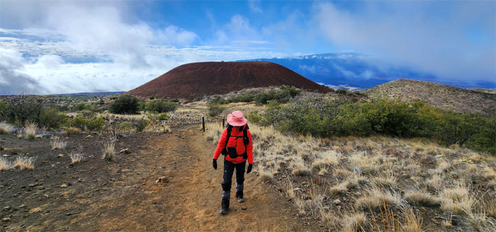
Humu’ula Trail
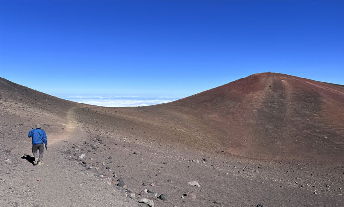
Panoramic view of Mauna Loa and Hualalai from 10,240′ elevation, two of the six active volcanoes in the island chain. We were standing on the third one.
Humu’ula Trail
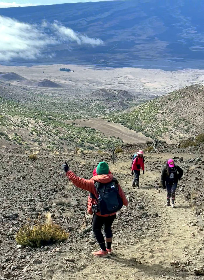
Going up the soft volcanic dirt trail seemed to require more energy on our part, as we had to dig our heels in to go up the steep section.
Humu’ula Trail
With each passing step, the breathing became harder and the exertion just as much.
Humu’ula Trail
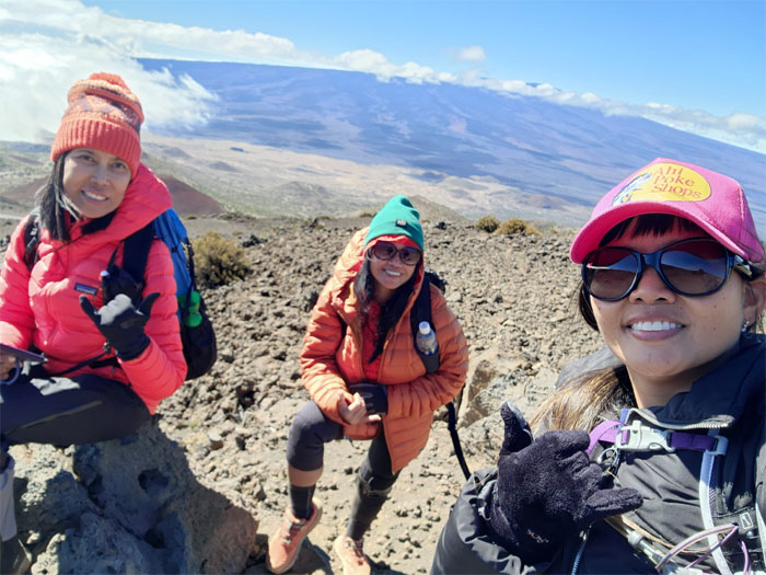
Meeting of the addled minds.
Humu’ula Trail
Hit the road Jack and don’t you come back
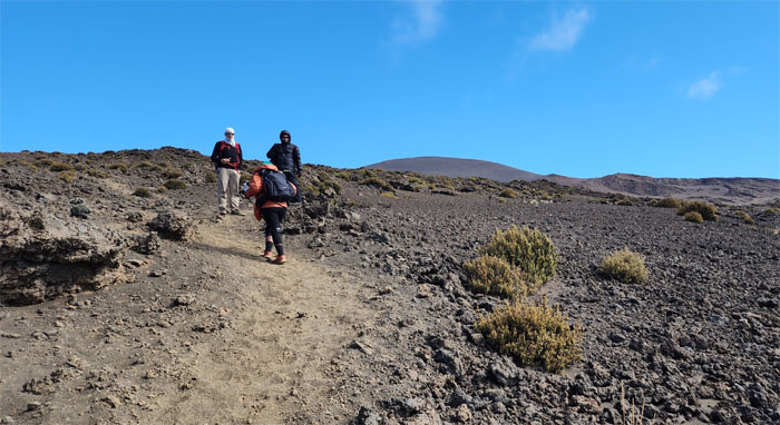
No more, no more, no more, no more

Humu’ula Trail
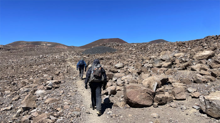
Pushing to the cinder cone ahead of us where the steepness was supposed to slack off.
Humu’ula Trail
Turn around point at roughly 10,443′ elevation. All three decided to throw in the towel due to a sore ankle, headache and tiredness.
Mauna Kea
Going down the mountain.
Mauna Kea
Salvation in the form of a white Subaru Ascent driven by Roger, lay waiting for them at the bottom of the road.
Humu’ula Trail
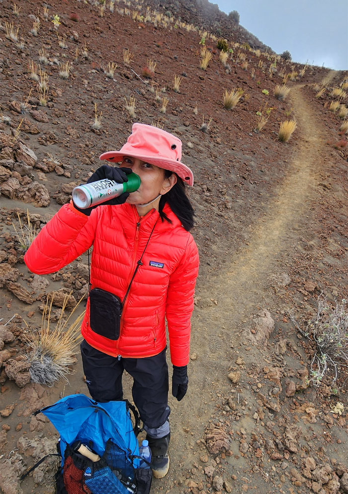
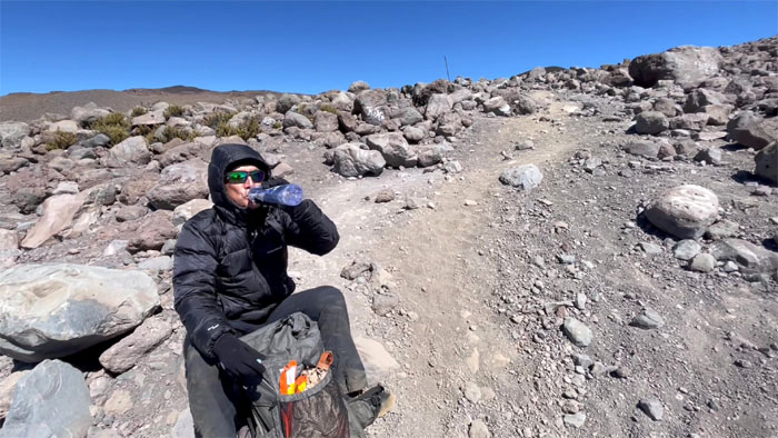
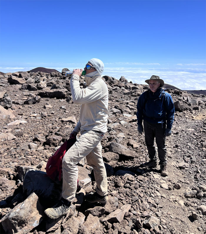
Staying hydrated on the volcano at a little over 11,100′. Better than canned oxygen.
Humu’ula Trail
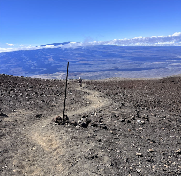
Matt coming up the trail with the largest active volcano on Earth behind him. Mauna Loa is so massive that the volcano’s weight depresses the Earth’s crust by about five miles. Let that sink in.
Humu’ula Trail
I soon crossed paths with three young kids coming down the mountain. How close are we? You don’t want to know. I do want to know. You’re not even close. Not even 1/3 of the way. How was the summit? We didn’t make the summit. Okay then.
Humu’ula Trail
Dust in the wind.
Humu’ula Trail
Roger soon joined us as he had hiked down from the top of the trail after leaving the girls in the car to rest.
Humu’ula Trail
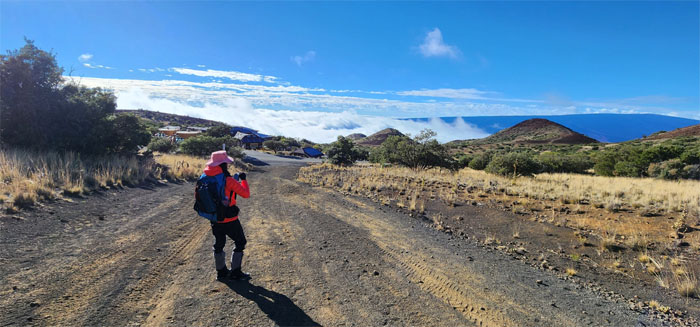
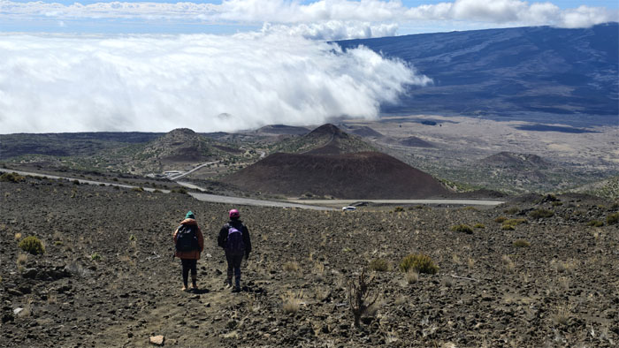
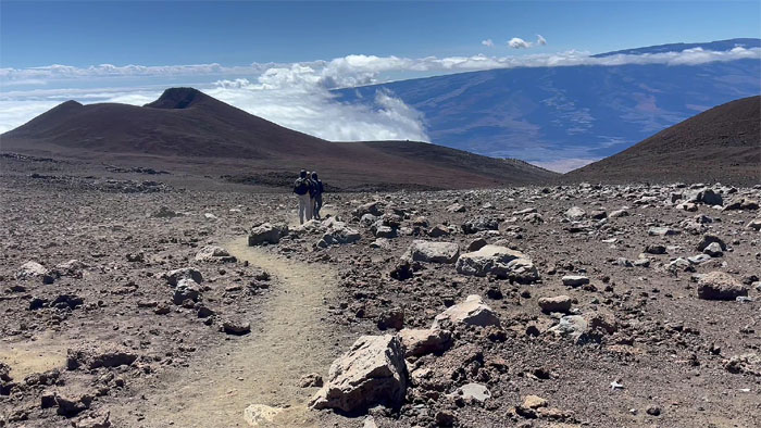
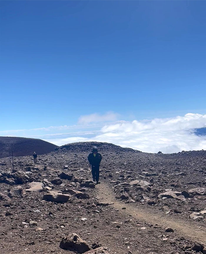
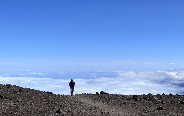
Plodding above the clouds.
Humu’ula Trail
Hiking through the volcanic landscape at a little over 12,000′ elevation.
Humu’ula Trail
When eating prime rib and beef jerky just isn’t enough.
Humu’ula Trail
Pushing our way to the saddle. One step at a time. Literally.
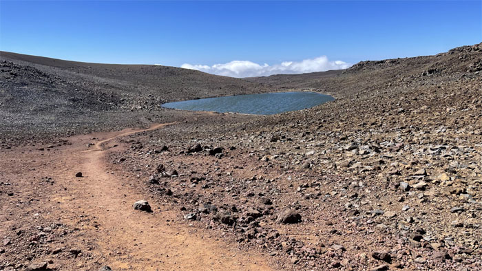
Lake Waiau
Looking at the alpine lake that sits at 13,020′ elevation, the highest lake in the Pacific Basin. It has been postulated that ancient Hawaiians used this lake as a water source when establishing nearby adze quarries in this remote location. The body of water was once considered as a water source for the Kohala Railroad, stocked with trout which died off and suggested as a tropical ice skating rink. How it even exists in a landscape of porous lava rock is a mystery unto itself. Theories that have been thrown out include a permafrost layer and a bottom sediment of fine volcanic ash mixed with organic matter that impedes drainage. The lake is also considered sacred in Hawaiian tradition and possibly named after one of the four snow goddesses in Hawaiian mythology. The name itself means swirling waters but the waters are often but that.
Humu’ula Trail
Home stretch.
Humu’ula Trail
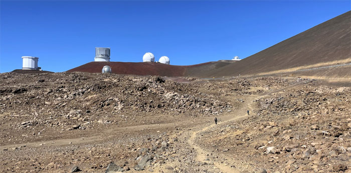
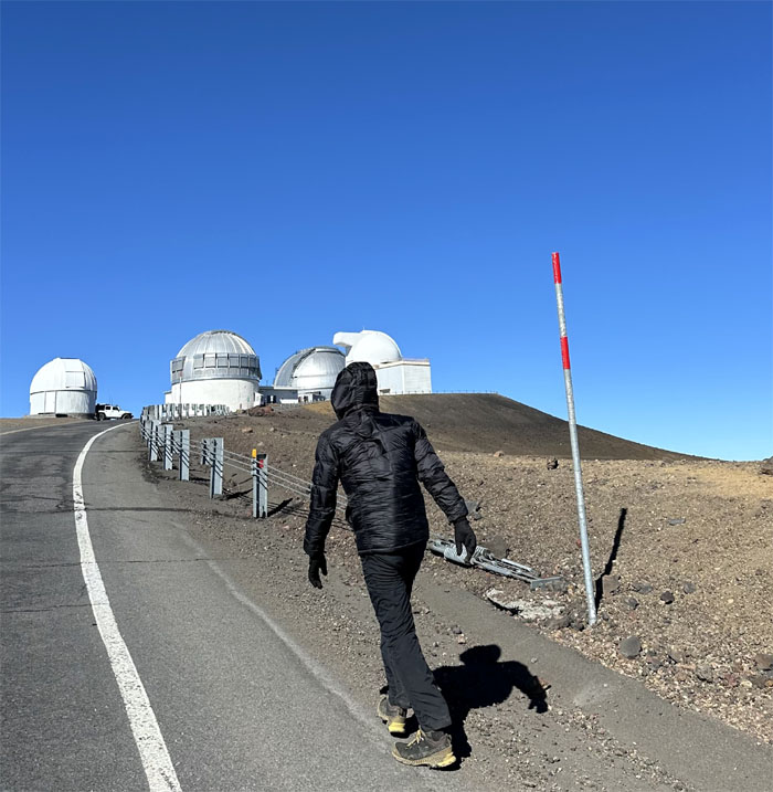
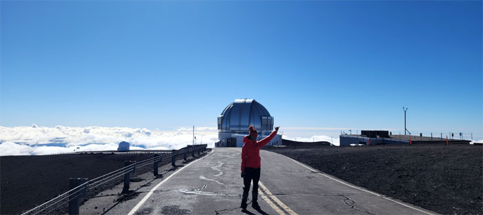
Approaching the summit observatories, the high elevation which lends itself to dark skies and the absence of atmospheric and light pollution makes for favorable observation conditions for astronomical objects. There has been pushback from the local community over any new telescopes as seen by the TMT controversy that started back in 2015 and whose future is now questionable.
Humu’ula Trail
Making our way to the creature comforts of our car which offered a respite from the freezing 30s temperature as we joined the ranks of the estimated 5,000-6,000 people that make the trek to the summit every year. We took a quick break and the First Shirt persuaded me that we had to finish at the true summit. Okay then.
Humu’ula Trail
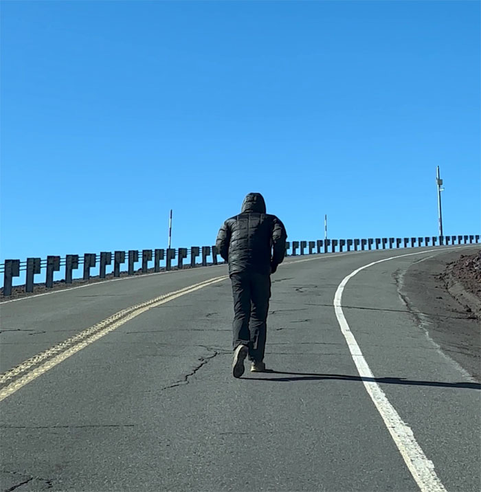
Tapping out. Back to the pace car.
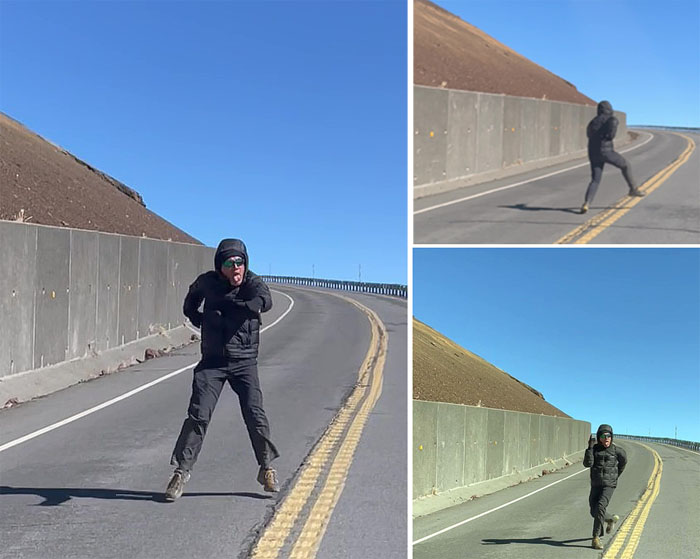
Humu’ula Trail
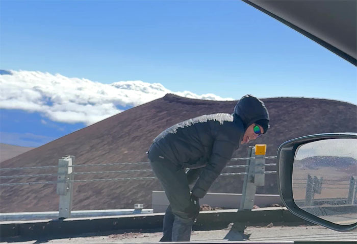
Wasting what little energy I had left. Altitude Mountain Sickness is real. Or some kind of sickness.
Humu’ula Trail
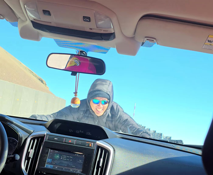
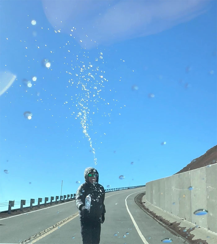
Taking a break. Need your windshield washed?
Humu’ula Trail
Meanwhile, somebody was minding their own business and keeping his distance.
Humu’ula Trail
Have a drink on me.
Humu’ula Trail
No can handle?
Humu’ula Trail
Cue the Rocky music. 33 RPM.
Humu’ula Trail
Are we there yet?
Humu’ula Trail
Not quite. We were at roughly 13,741′. Almost there.
Humu’ula Trail
Crossing the open saddle as we were buffeted by high winds of 50 mph plus. Crazy in somebody’s words. The wind chill was freezing to say the least. My exposed face felt like an ice cube.
Humu’ula Trail
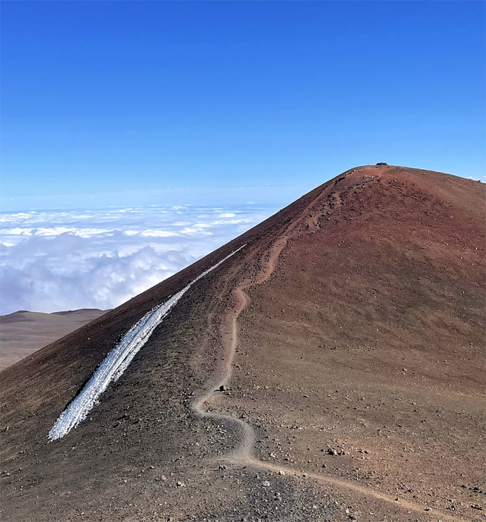
Ascending the summit with remnants of a snow sheet on the side. Mauna Kea is the only Hawaiian volcano that shows evidence of prior glaciers that once existed from the summit down to about 10,500′ of elevation.
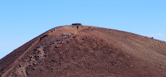
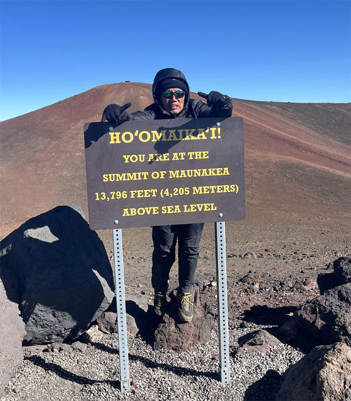
Mauna a Wakea Summit
Approaching the altar at the top of the mountain. Paid our respects and no tik-tok dances per the kanaka ranger.
Mauna a Wakea Summit
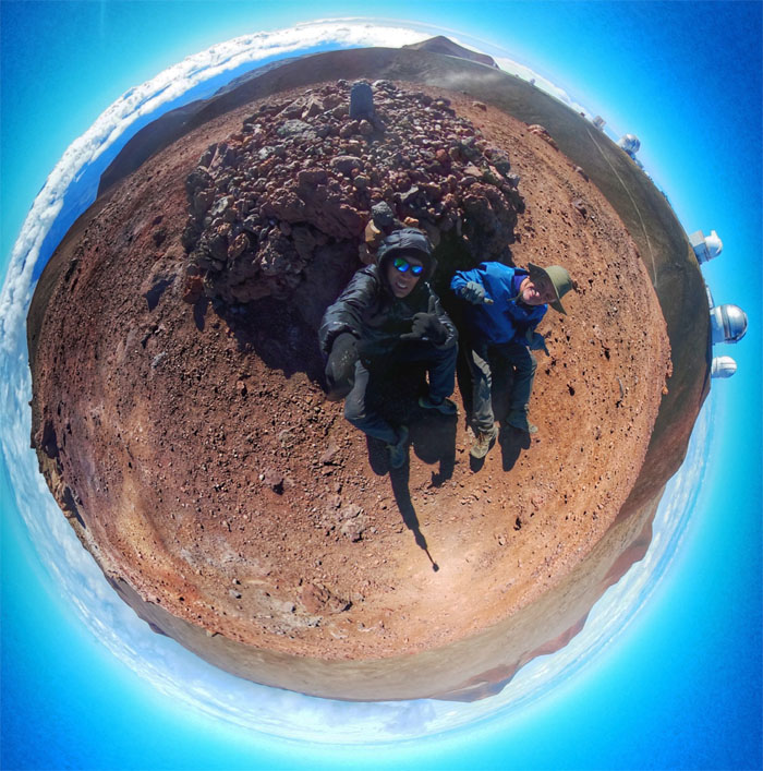
Roger and myself huddled at the base of the altar from the freezing winds at the 13,796′ summit.
All pau
Somebody finally got their solo shot. We drove back down the road to the Ranger Checkpoint where Roger was pronounced an excellent driver as he didn’t overheat the brakes coming down. Picked up Mari from the airport and drove to find our post hike meal. Quinn’s was an hour wait. So off we went to Outback Steakhouse as today was their last day as corporate was pulling the plug on all of the Australian themed restaurants. Even longer wait with nobody taking names. So it was back to Quinn’s. Good dinner with fun company.
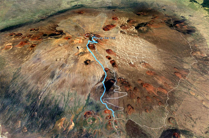
GPS Tracks
Our hike to the highest peak in Hawaii covered 6.8 miles through volcanic landscape, high altitudes, gusting winds and freezing temperatures tempered with good company.
Photos taken by Aida Gordon, Aileen Agustin, Matt Vidaurri, Roger Schiffman, Tessa Bugay, and yours truly. Not necessarily in order.
Note: I have been made aware that some hikers have been using my blog as a hiking guide and getting lost on the trails. Please note that this blog was made to document the hike for the crew(s) that did it. That is why some of my comments will seem to have no relevance or meaning to anybody outside of the crew(s) that hiked that trail. My blog was never meant as a hiking guide, so please do not treat it as such. If you find inspiration and entertainment from these hikes, that is more than enough. If you plan on replicating these hikes, do so in the knowledge that you should do your own research accordingly as trail conditions, access, legalities and so forth are constantly in flux. What was current today is most likely yesterdays news. Please be prepared to accept any risks and responsibilities on your own as you should know your own limitations, experience and abilities before you even set foot on a trail, as even the “simplest” or “easiest” of trails can present potential pitfalls for even the most “experienced” hikers. One should also always let somebody know of your hiking plans in case something doesn’t go as planned, better safe than sorry.
{ 2 comments… read them below or add one }
Aww, need to go back so I can summit too lol
So much fun tho.. congrats to you guys for completing the true summit of Maunakea
Thank you for the fun 3 day weekend big island adventure..
Aloha Tessa,
Let’s all go back and start from the summit. Easier to go down.
Mahalo