
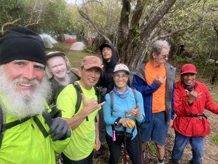
Our camping weekend on the Big Island got postponed, so we did the next best thing. Hiked the highest mountain on Oahu.
Waianae Valley
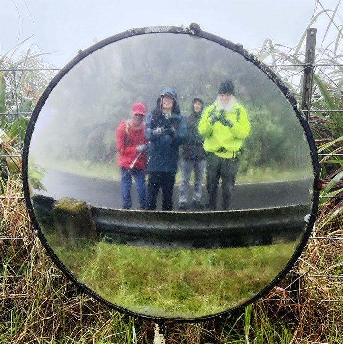
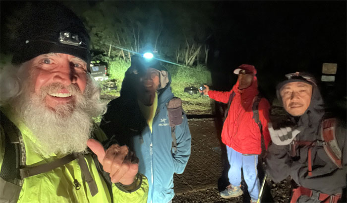
Thanks to Jasmin and Lilia for dropping us off deep in the valley of barking dogs and broken glass. Somebody didn’t like the rain falling out of the sky and decided to take double secret probationary status instead. Why is it still dark at 0630? 31 more days until winter officially ends and spring rolls around.
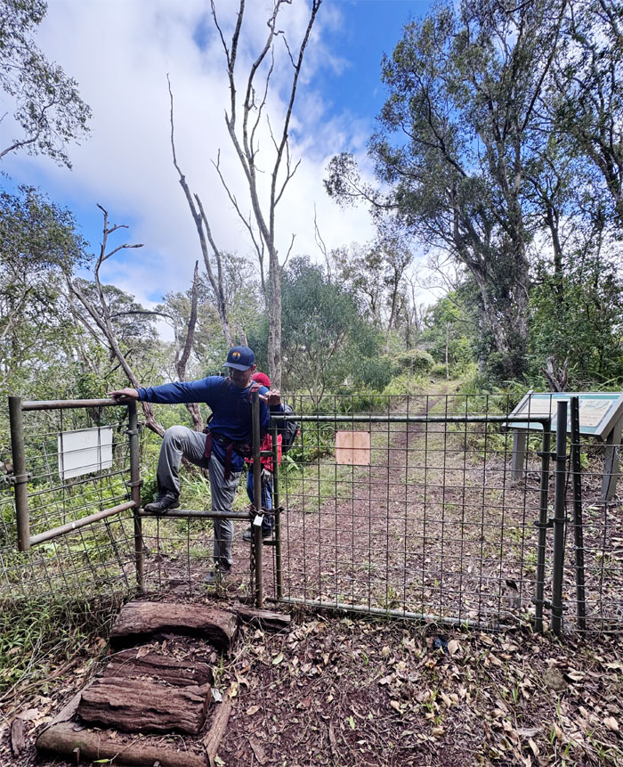
Ka’ala Trail
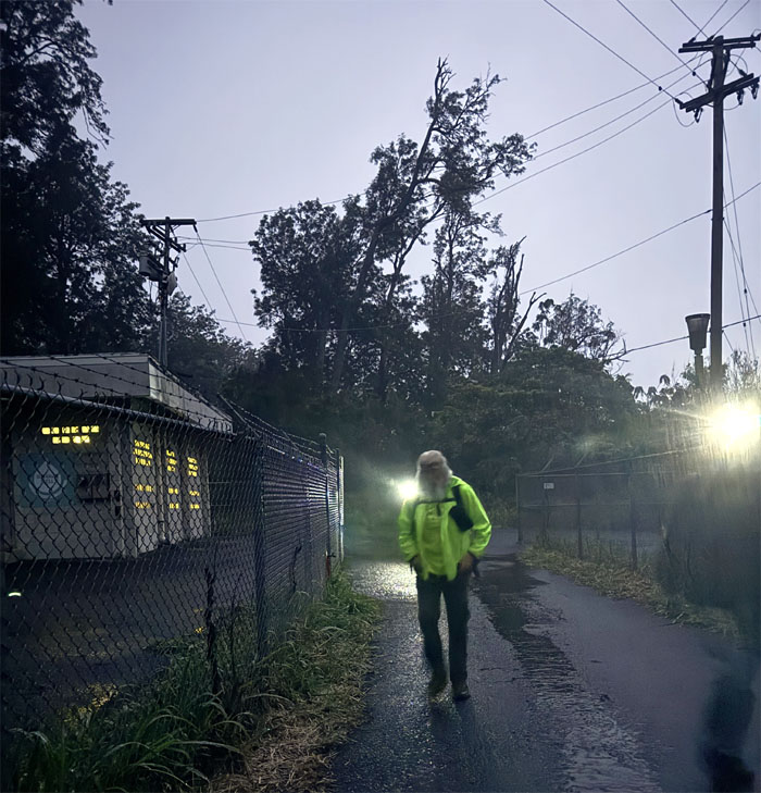
Lights are on but nobody’s home.
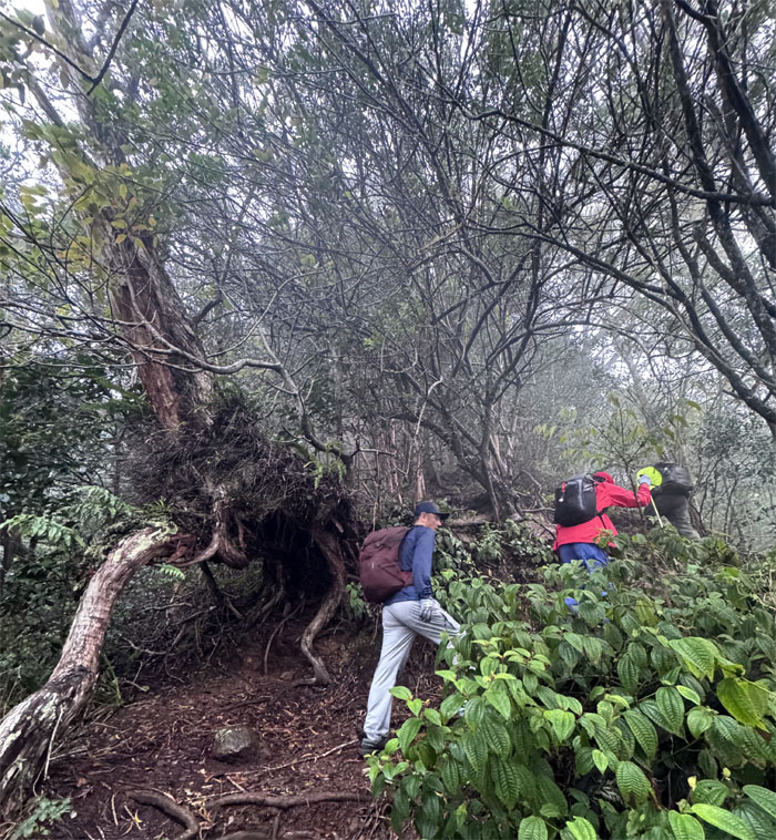
Ka’ala Trail
Crossing the surprisingly dry streambed as we made our way on the trail.
Ka’ala Trail
Passing a perfectly good shelter against the rain. The hike must go on.
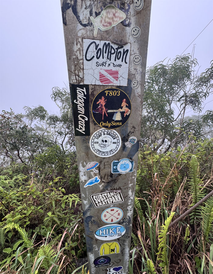
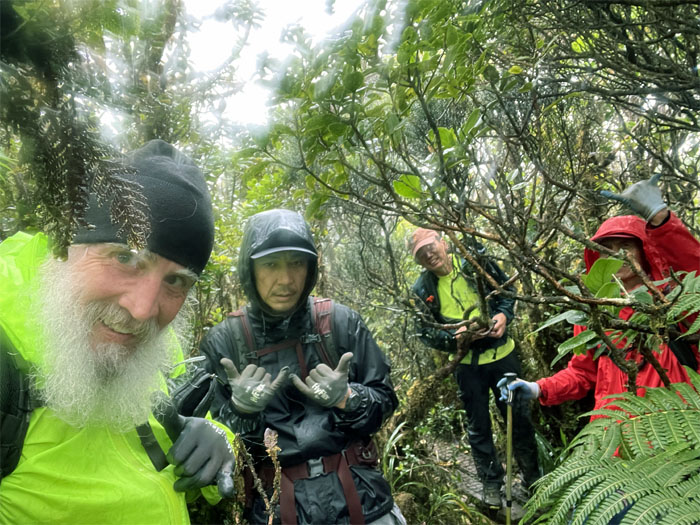
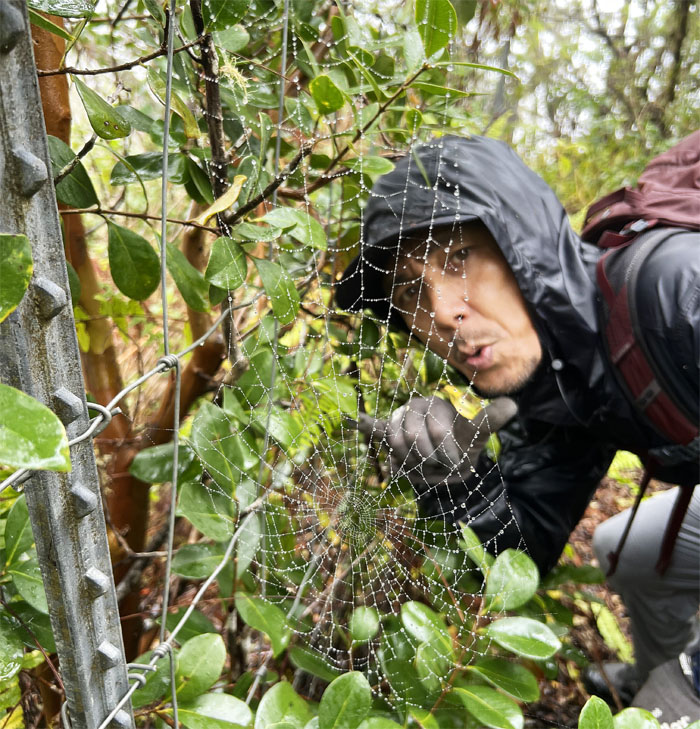
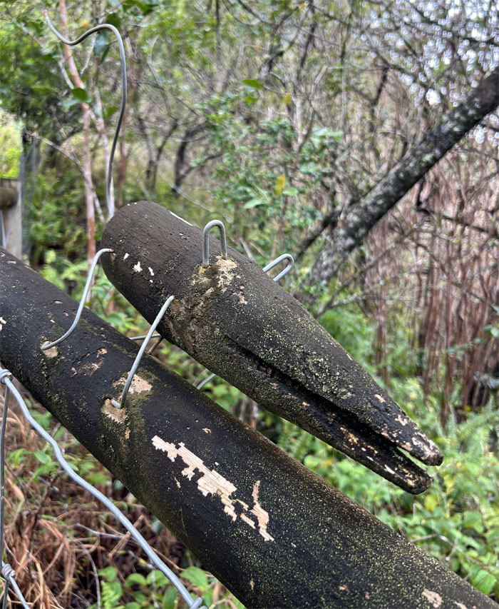
Three Poles
Sticker envy.
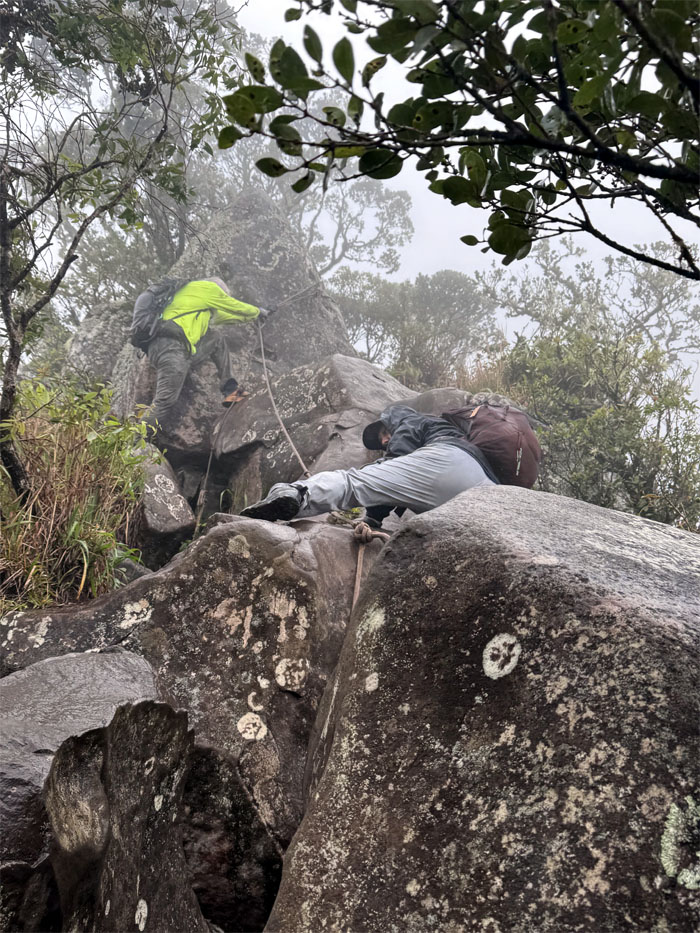
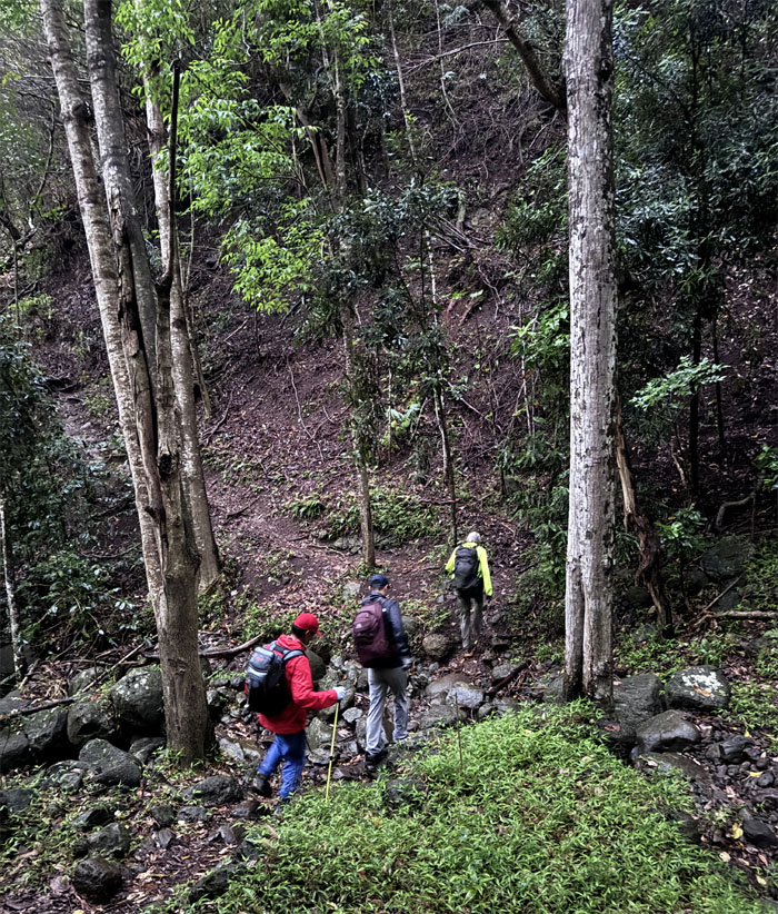
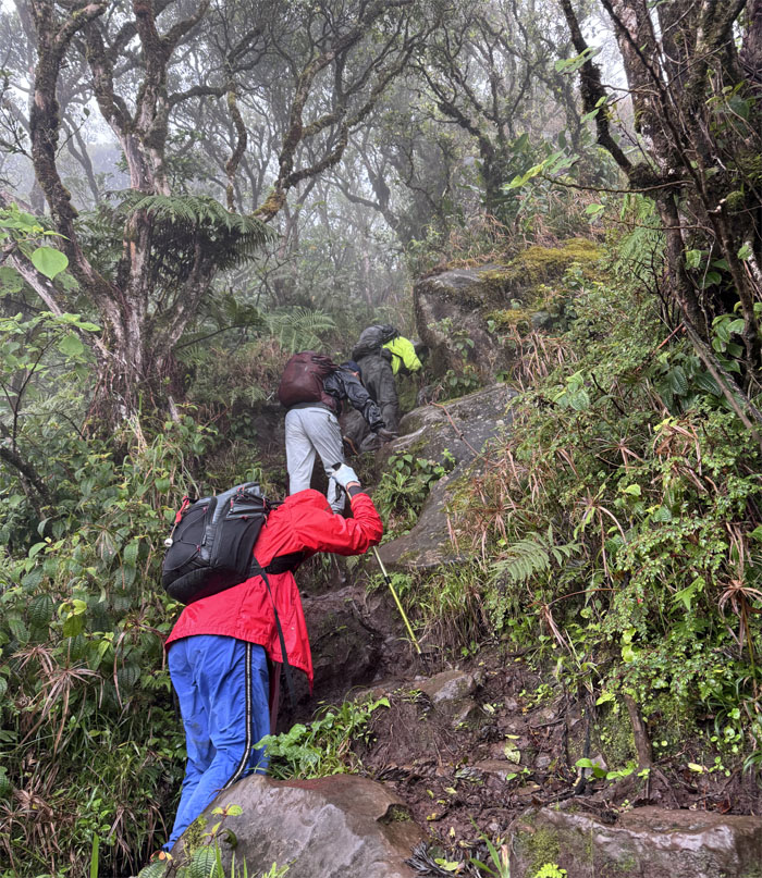
Ka’ala Trail
Chico and Akira scrambling up the first of two rock fragment sections that interrupts the trail.
Ka’ala Trail
Going up the second boulder section was made short work thanks to the bolted ladder.
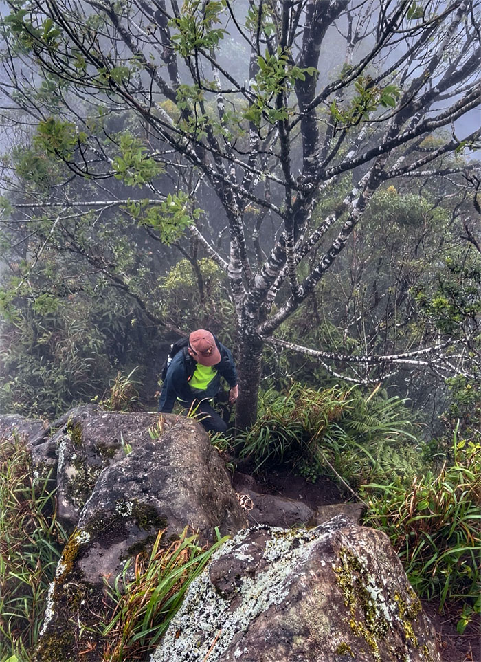
Ka’ala Trail
Steady climb to the highest peak on the island.
Ka’ala Bog
Standing on the boardwalk that prevents us from sinking deep in the mud that is home to native fauna and flora.
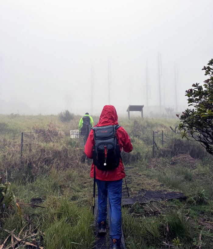
Ka’ala Bog
Exiting the bog as we couldn’t see the radome for the rain clouds.
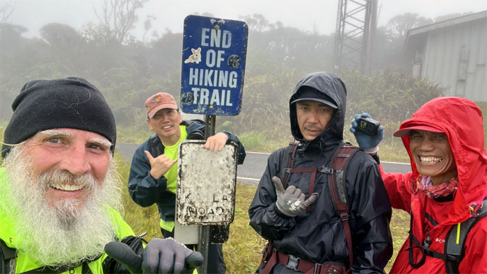
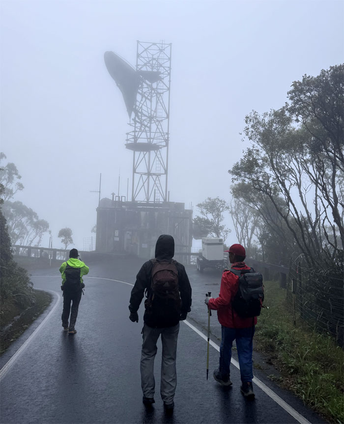
Ka’ala Summit
Group photo at the highest peak at 4,025′ elevation.
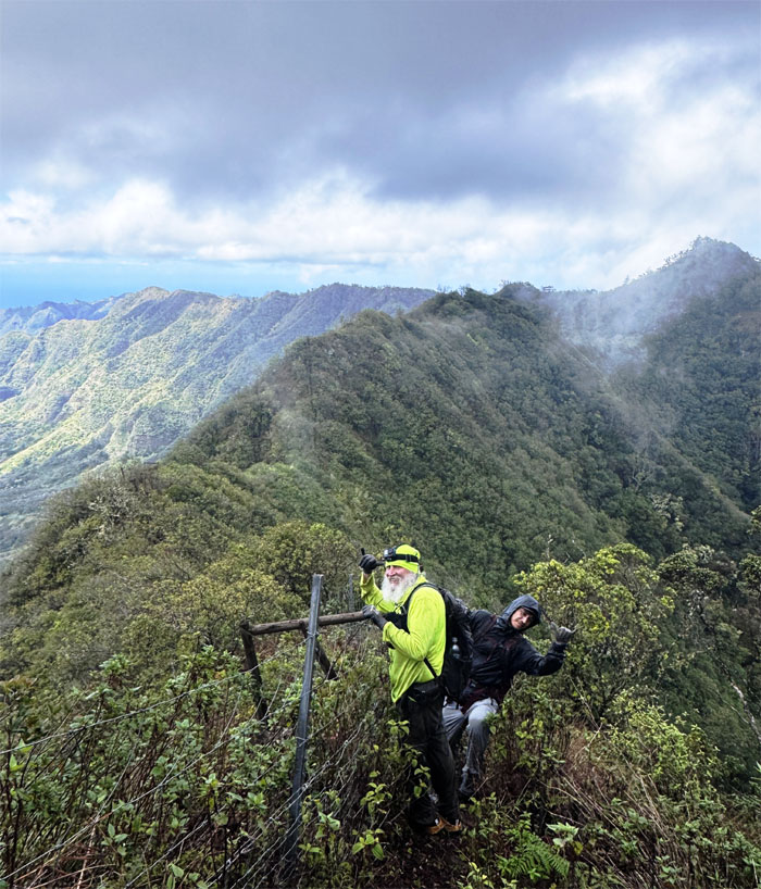
Waianae Summit Trail (WST)
One would think that your cell phone would have better connectivity near a cell tower. One would think.
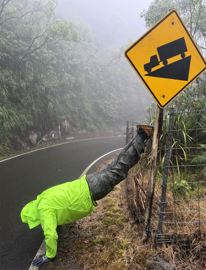
WST
Does the pushup match the grade?
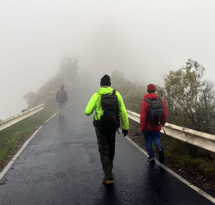
WST
No views on both sides.

WST
Mother Nature showing who’s boss in these mountains. The rock fall protection fence is a futile attempt to resist the mountain reclaiming the road that was blasted out of the mountains in the 1940s, similar to the coastal seawalls built in an attempt to retard beach erosion. It’s only a matter of time.
WST
Transitioning from asphalt to densely packed uluhe ferns.
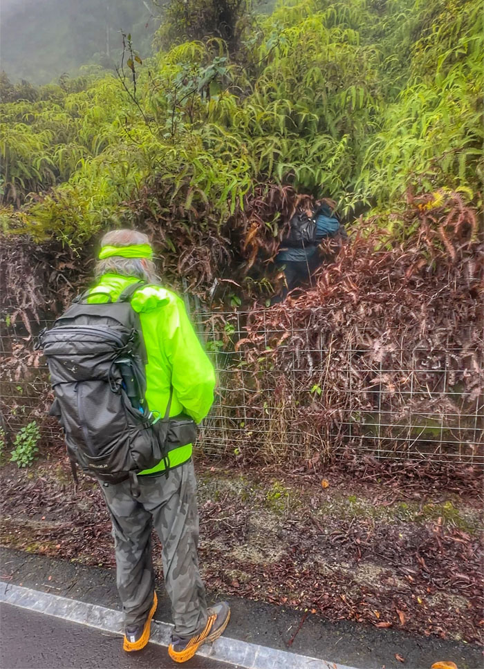
WST
Not out of the woods yet. Still got a stretch of bushwhacking in the third degree.
WST
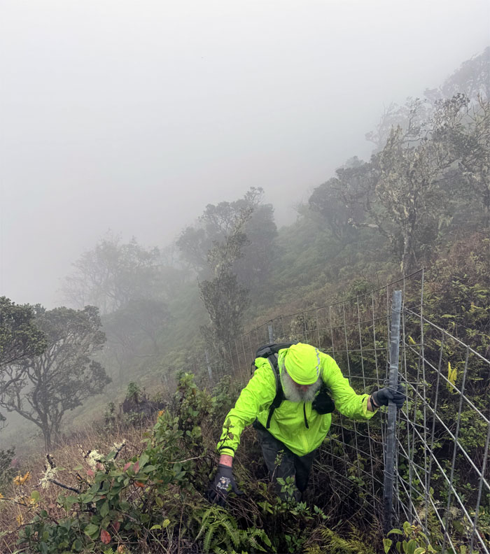
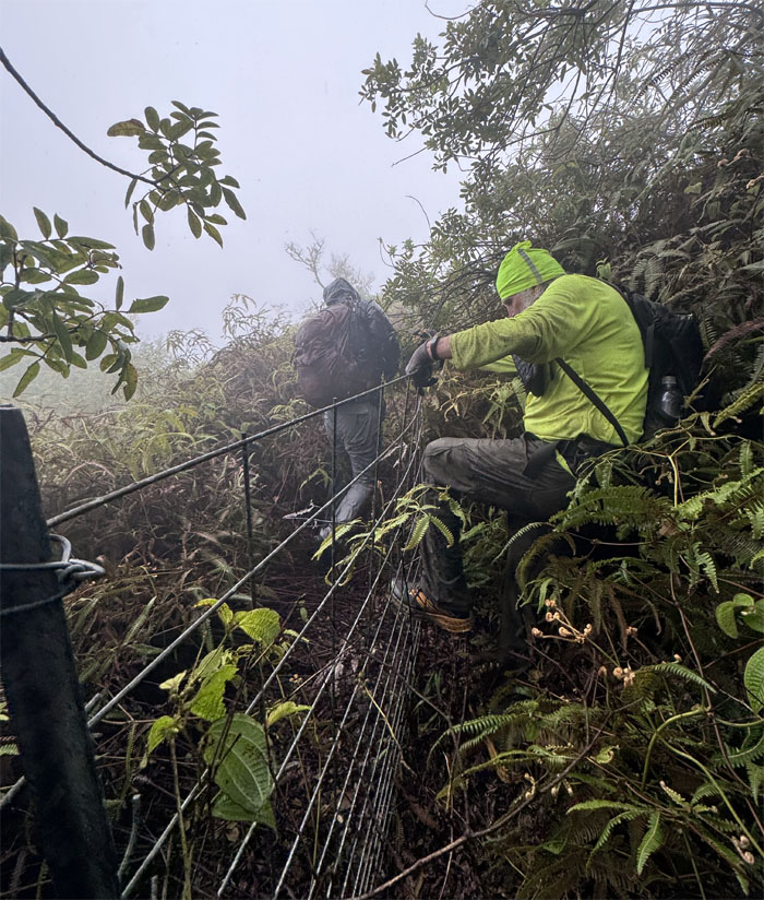
Hopping over the fence line more times than illegal migrants to avoid the dense overgrowth.
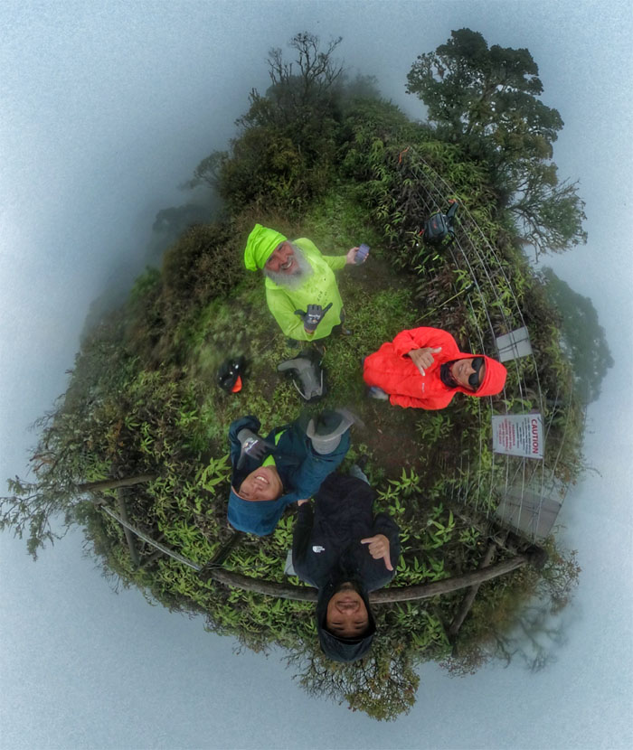
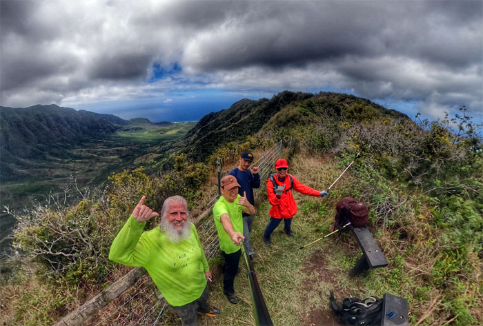
Three Corners
Group photo at the spot with the non-existent views of the valleys of Makua, Makaha and Mokuleia.
WST
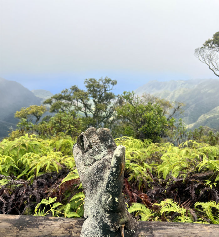
The Gloved One looking out over Makua Valley, and still losing pigmentation as well.
WST
We’re too stoned to know what time it is
I’m not swinging through the trail
My hike’s not getting harder
But you’re still my Mary Jane
And you smoke my Marijuana
*poetic license corruption of Spider Man 2 (Toby’s version)
WST
Proof that rats do live outside of Diamond Head.
WST
Following the fenced trail as we bordered Makua Valley.
WST
Group photo with the “parent” valley, whose lease to the US Army expires in 2029. How much did the military pay for the lease that was “signed” in 1964? One sawbuck. One dollar.
Mokuleia Shelter
We dropped off the ridge line and ran into a HTMC group who were having their annual President’s Day Camping Weekend. Picked out a couple of familiar faces that included Nalo Bob and Casper Rorie.
Mokuleia Trail
Leaving the Pahole Nature Reserve Area.
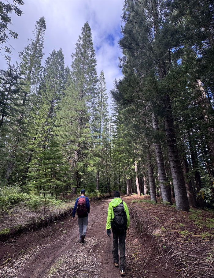
Peacock Flats
Walking underneath the towering pine trees that were introduced to the islands in the 1870s.
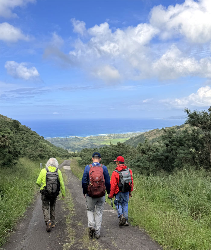
Mokuleia Access Road
Pounding the unyielding pavement as we went down the 3.5 mile road to the highway.
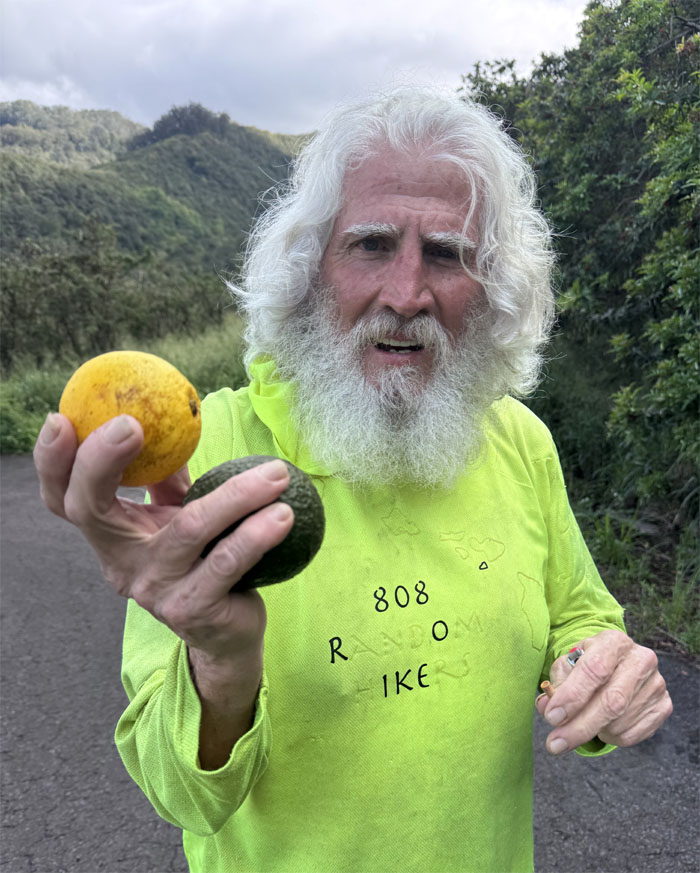
Mokuleia Access Road
Chico showing our fruit pickings from the shelter site. Thanks to Ferlino for climbing and plucking the oranges and avocadoes for us. Refreshing snacks.

Mokuleia Access Road
Distant relative of the “hairy balls” milkweed plant. More like “thorny balls.”
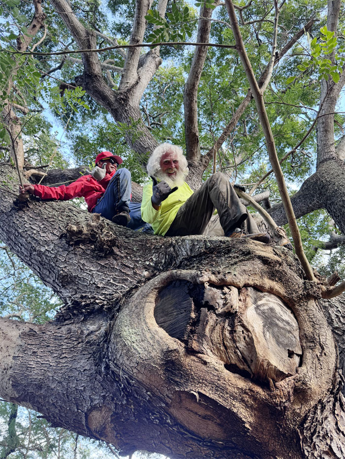
Mokuleia Access Road
The boys having their bromancing moment on the heart shaped tree.
All pau
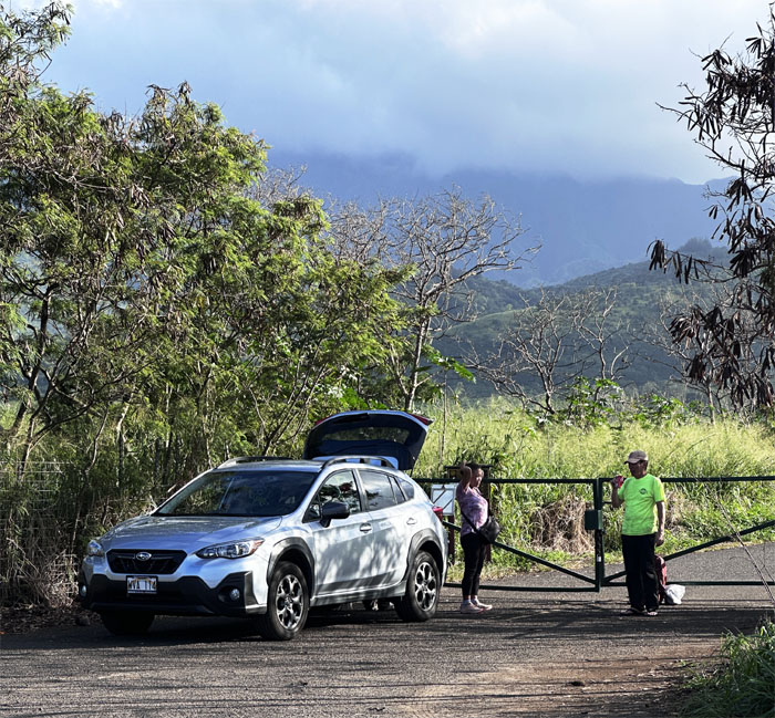
Mahalo to Jasmin and Lilia for picking us up on the other side of the island.
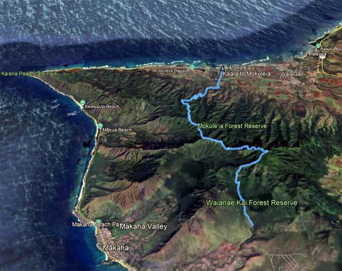
GPS Tracks
Our Waianae to Waialua, rainy to sunny hike traversed 12.6 miles through the Waianae Mountain Range. Great hike with good friends. Post hike meal at Jerry’s Pizza.
Photos taken by Akira Suzuki, Chico Cantu, Ferlino Carinio and yours truly. Not necessarily in order.
Note: I have been made aware that some hikers have been using my blog as a hiking guide and getting lost on the trails. Please note that this blog was made to document the hike for the crew(s) that did it. That is why some of my comments will seem to have no relevance or meaning to anybody outside of the crew(s) that hiked that trail. My blog was never meant as a hiking guide, so please do not treat it as such. If you find inspiration and entertainment from these hikes, that is more than enough. If you plan on replicating these hikes, do so in the knowledge that you should do your own research accordingly as trail conditions, access, legalities and so forth are constantly in flux. What was current today is most likely yesterdays news. Please be prepared to accept any risks and responsibilities on your own as you should know your own limitations, experience and abilities before you even set foot on a trail, as even the “simplest” or “easiest” of trails can present potential pitfalls for even the most “experienced” hikers. One should also always let somebody know of your hiking plans in case something doesn’t go as planned, better safe than sorry.
{ 4 comments… read them below or add one }
That climb up My Ka’ala is no joke.
Great fun day with Kenji and crew.
New trail adventure for me after Ka’ala. ????????
Aloha Chico,
Yep, especially rainy and no views. Just another day. lol.
Mahalo
Sorry I missed this one! But I bet you boys had tons of fun anyways, like you guys always do
Aloha Tessa,
Yep we missed you on the hike.
Mahalo