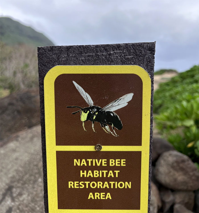
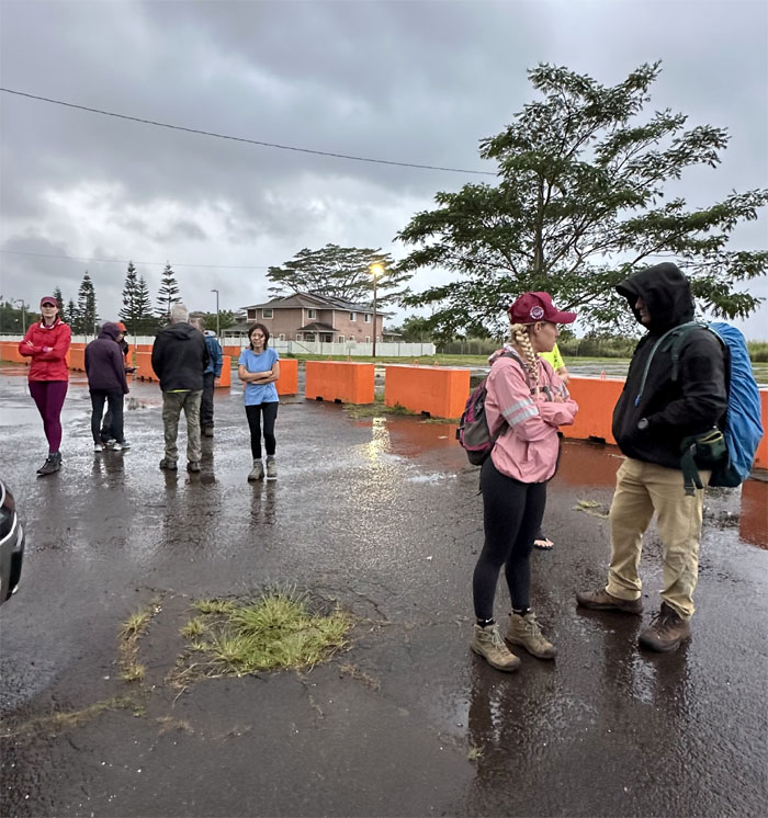
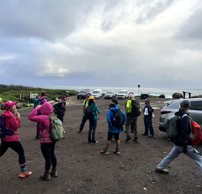
A bunch of us met up near Helemano Military Reservation to enjoy a 4×4 ride up to one of the most scenic spots on the island and have a potluck lunch at the cabin.
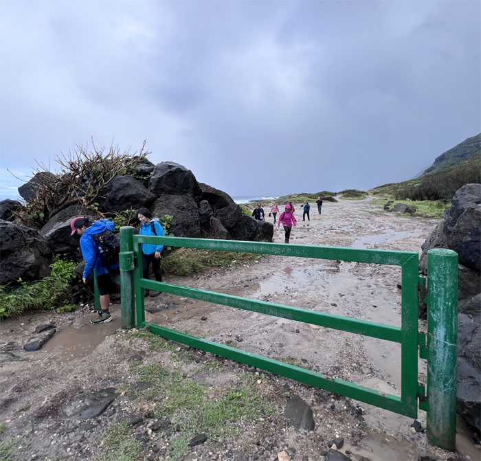
Only two things can stop us. Inclement weather and the wrong gate combination. Bingo!
Plan B.
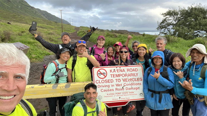
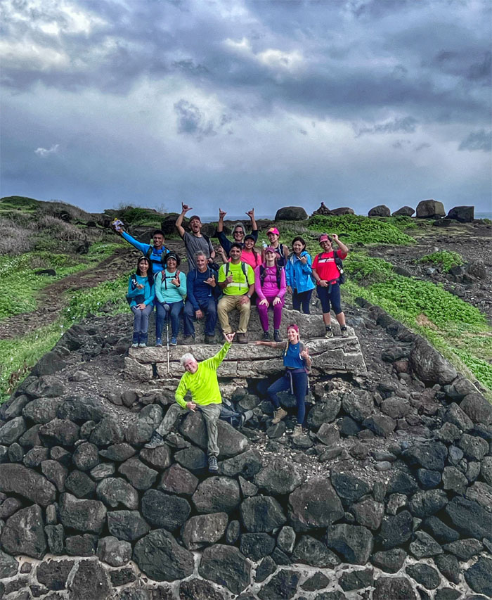
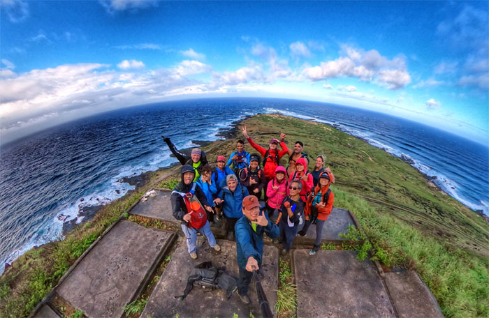
Group photo left to right: Chico, Robin, Akira, myself, Haig, Cinja, Mona, Aileen, Jay, Mitch, Aida, Tessa, Roger, Mari and Ferlino.
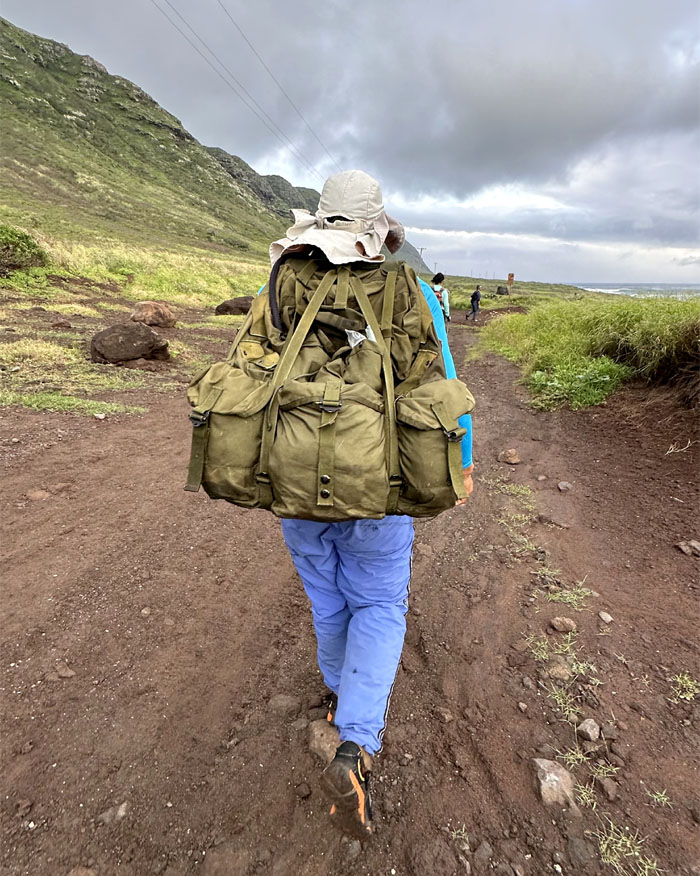
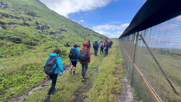
Are we hiking or rucksack marching?
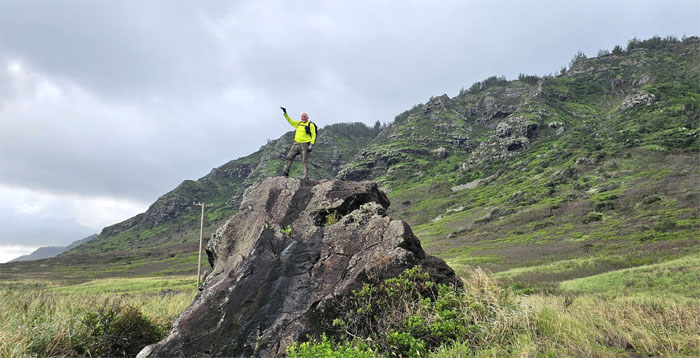
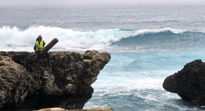
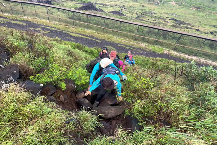
If there are no trees to climb, then a rock will have to do.
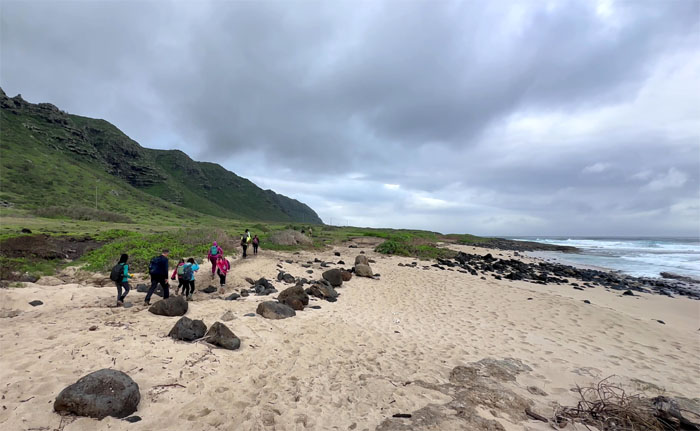
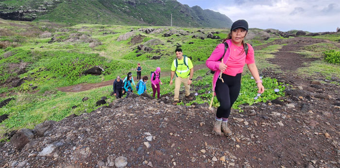
We left the Jeep road and hopped on the Coastal Trail.
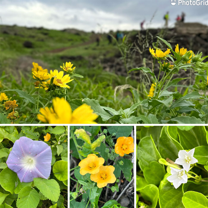
Stopping to smell some native and not so native flowers on the trail.
Climbing up to an historic mass transit ruin.
The group gathered together at one of the remaining bridges that used to support the railroad tracks that at one time circled the island from Iwilei to Kahuku. The railroad tracks was begun in 1889 and completed in 1898, covering over 71 miles. In contrast, the modern resurrection known as Skyline was begun in 2011 and the clock is still ticking, it has yet to even reach the stated distance of 18.9 miles. That’s a couple more years and a couple more billion dollars over budget away. Thanks to the principal architects of this failed and bloated monstrosity that include but not limited to ex-mayors Mufi Hannemann and Kirk Caldwell, and the unnamed city clerk that deemed only 35,056 of the 49,041 signatures valid on the Stop Rail Now petition that would have created an ordinance that stated that Honolulu mass transit will not include trains or rail. There were too many pockets to be lined with bribes and kickbacks to allow Skyline to be derailed.
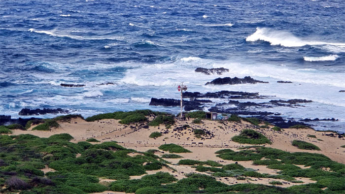
Walking up the sandy trail with the radar station of the US Space Force in the distance.
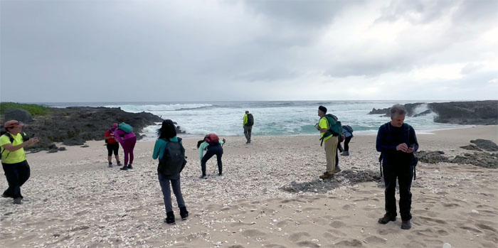
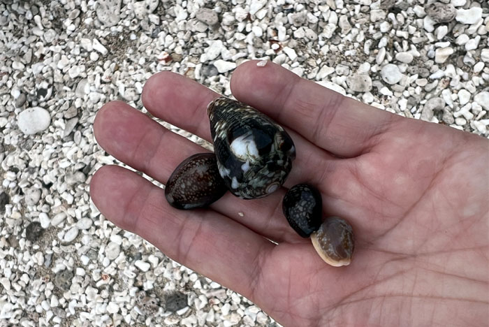
We briefly stopped at the sandy cove to find no monk seals but a lot of crabs and shells for the picking.
She sells seashells by the seashore.
The last known sighting of my sunglasses before the wind plucked it off my head and dropped it into the drink.
Aida asking the divers to vacate the ocean so that they don’t photobomb her picture. Give me 30 minutes and come back after half an hour.
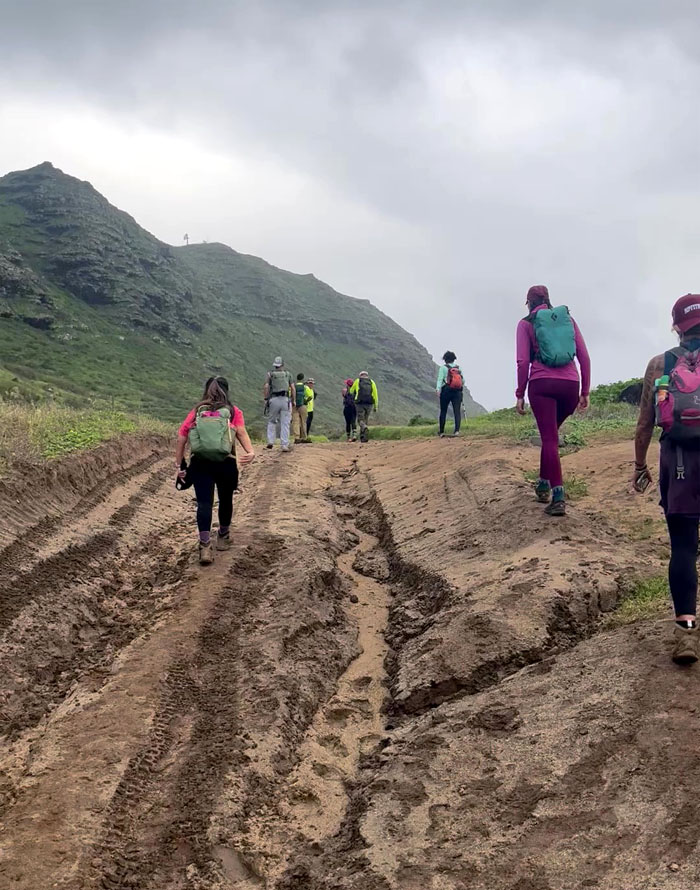
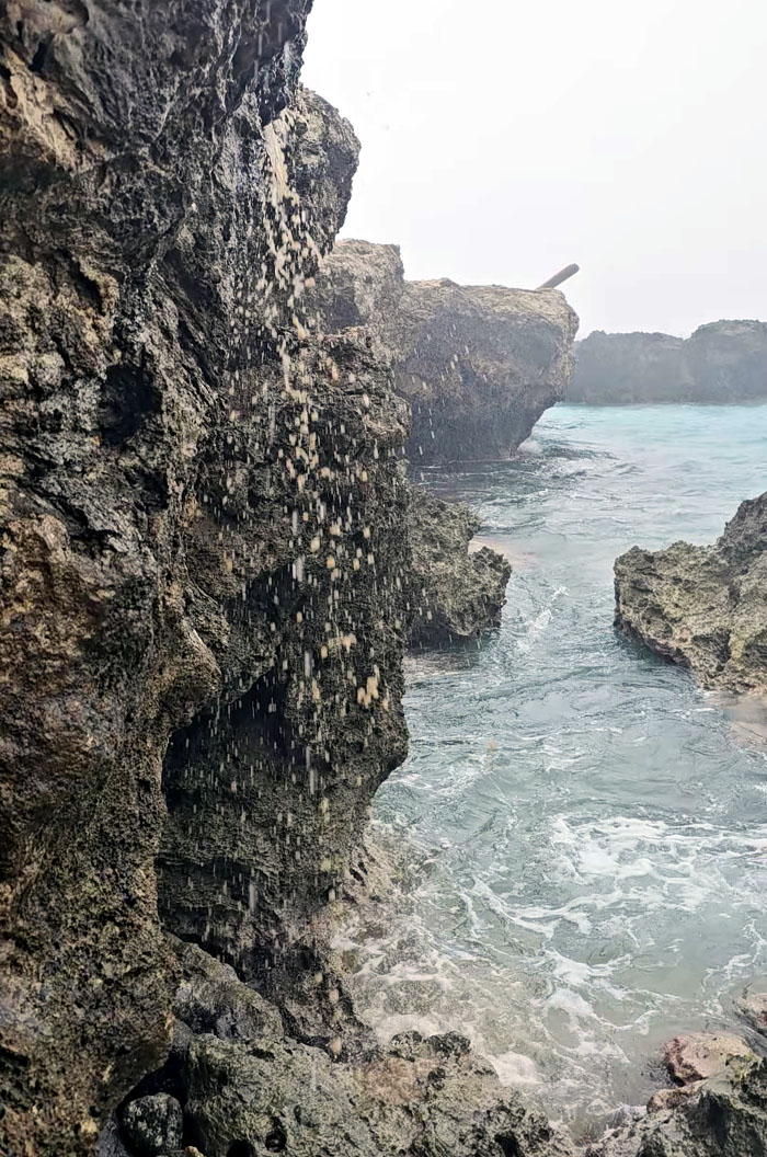
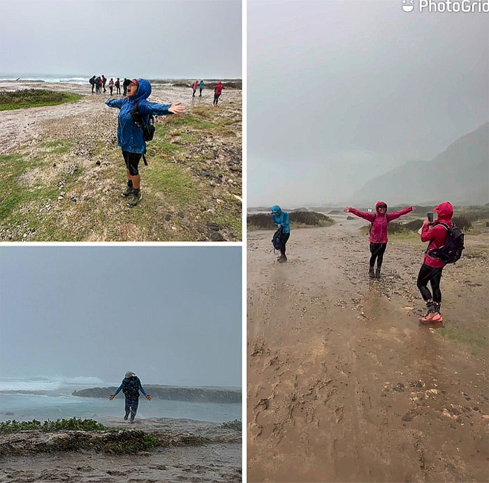
Some in the group sought shelter in the rocks from the sudden downpour, only to witness a mud waterfall from Guam.
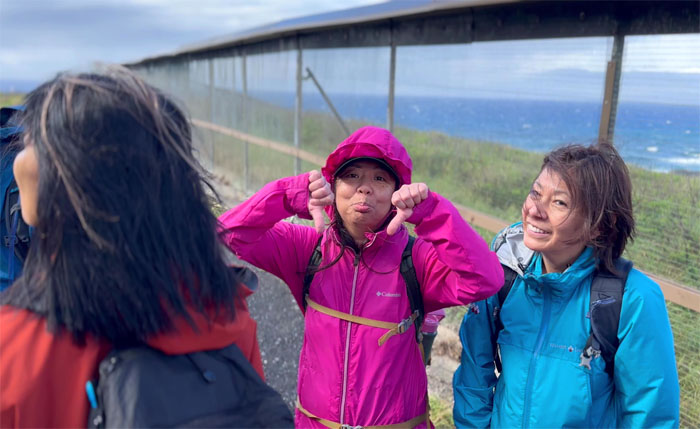
Playing outside in the rain.
The buck stops here for 4×4 vehicles, only two-legged bipedal animals allowed beyond this point.
Walking around the 2,133′ long predator-proof fence that protects 59 acres of land where native plants and birds are allowed to flourish relatively unmolested until that one time in 2015, when some punk kids from Punahou came to camp and killed and mutilated at least 15 Laysan albatrosses in this area. Future serial killers in the making.
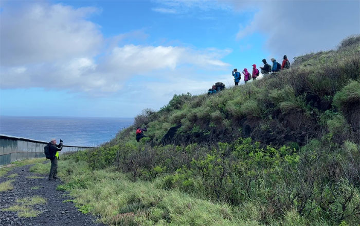
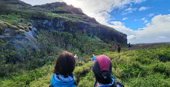
Climbing up the rocky ridgeline.
Pink and blue 1901-1905 Picasso phase photo at the first of multiple WW2 bunkers on the ridge.
Looking out towards the westernmost tip of the island that is home to old and new lighthouse structures.
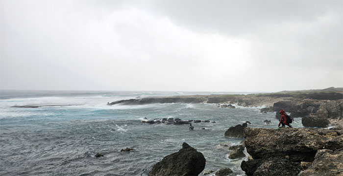
The gusting winds and lack of shelter for our lunch resulted in us returning back to sea elevation.
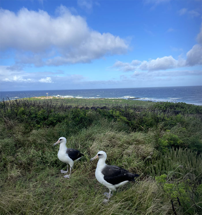
A pair of Federally protected Laysan albatrosses, these ocean birds while awkward on land are quite graceful in the air.
Somebody should have worn waterproof socks.
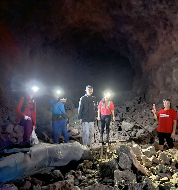
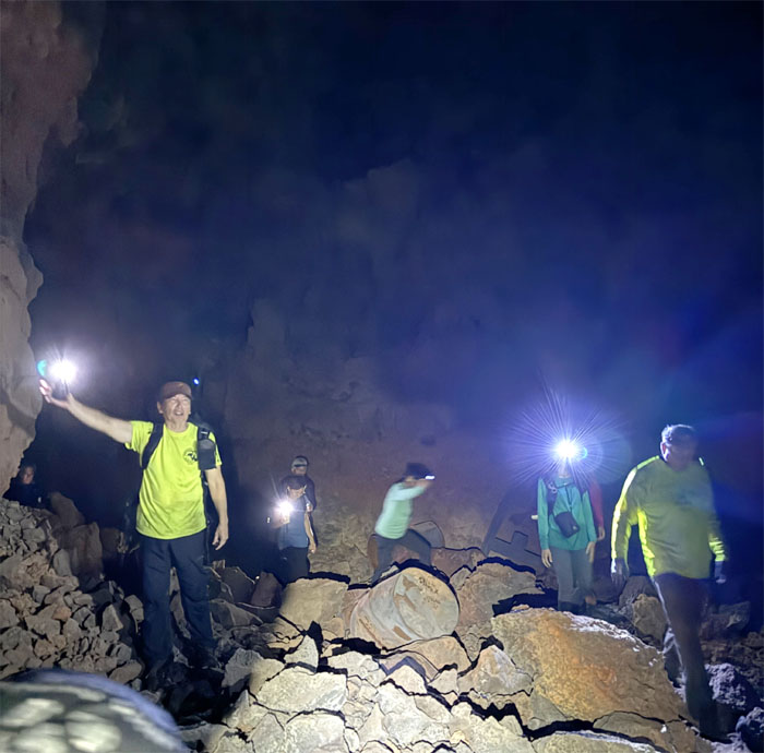
There’s a train tunnel in them thar hills!
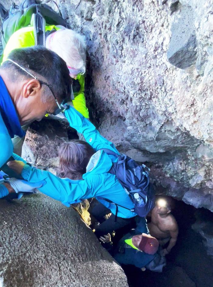
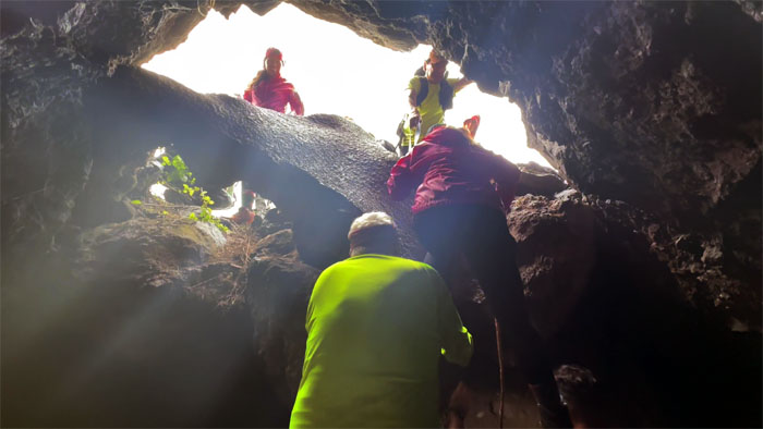
It takes a village to lower a hiker into the cave.
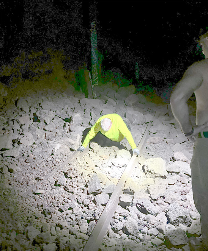
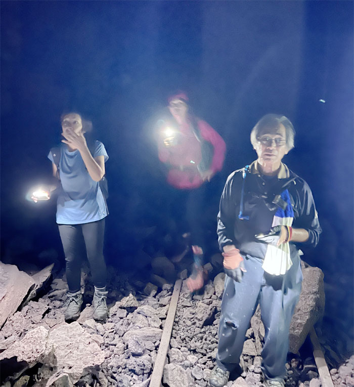
Chico doing pushups on the remnants of the railroad tracks. Just don’t touch the third rail.
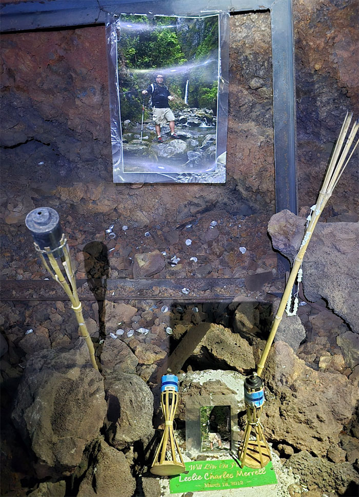
Passing the memorial for Les Merrell, a hiker who tragically perished in a fall from Bear Claw Ridge back in 2012.
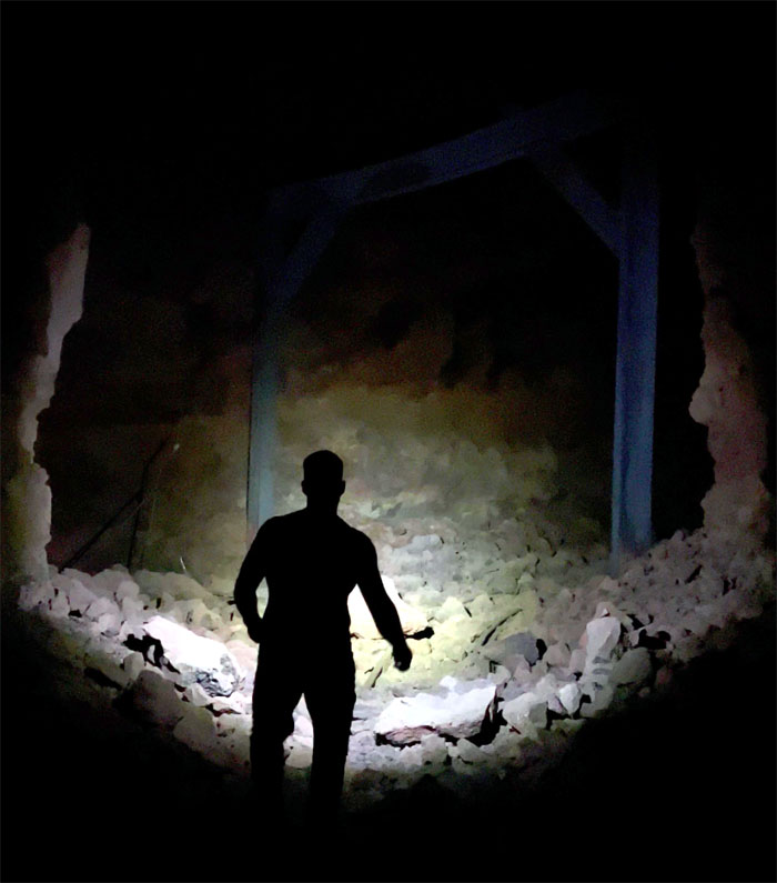
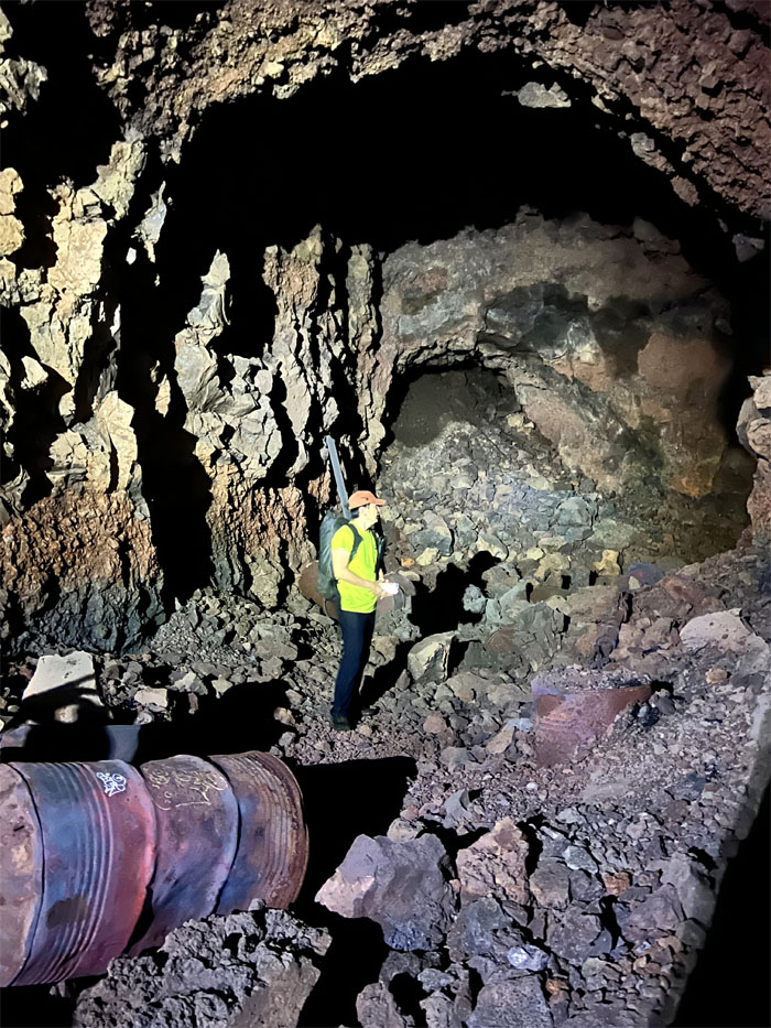
Haig silhouetted in the tunnel that was apparently excavated from the mountain to create a service depot for the trains that used to circle the island from 1889 to 1947.
Who you gonna call? Ghostbusters!
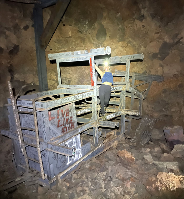
Jay hanging off an abandoned railcar?
Passing through the tunnel that was littered with 55 gallon drums.
The others had circled from the other side …
… to meet full circle with us, so to speak.
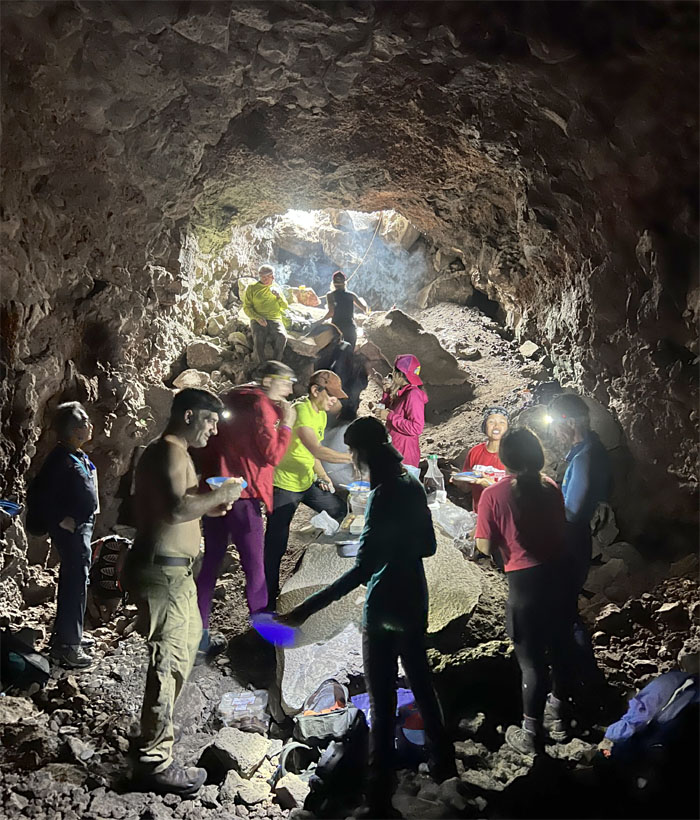
Digging in our potluck spread that consisted of lechon, ribs, hotdogs, chicken, poke, smoked marlin, musubis, brownies, muffins, mochi donuts, cinnamon and spanish rolls, pear and beef jerky as the rainstorm lashed outside.
Most of the group getting boosted out of the cave.
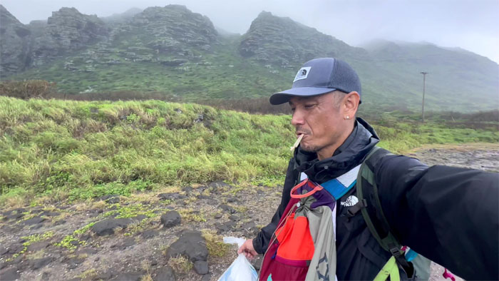
Walking back to our cars, not only were our clothes and bodies all wet, so was something else hanging off somebody’s lips. No high high.
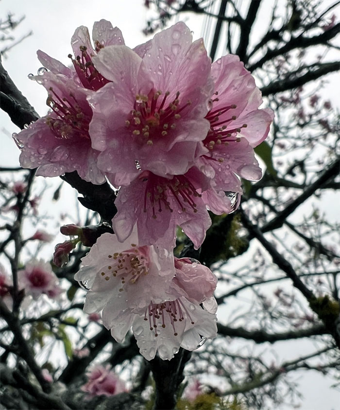
Some of us drove to upper Wahiawa to take in the sights of cherry blossom trees, whose origins can be traced back to Okinawa. The burning question is do they produce cherries or just flowers?
Akira shooting himself in the foot. Literally. High high.
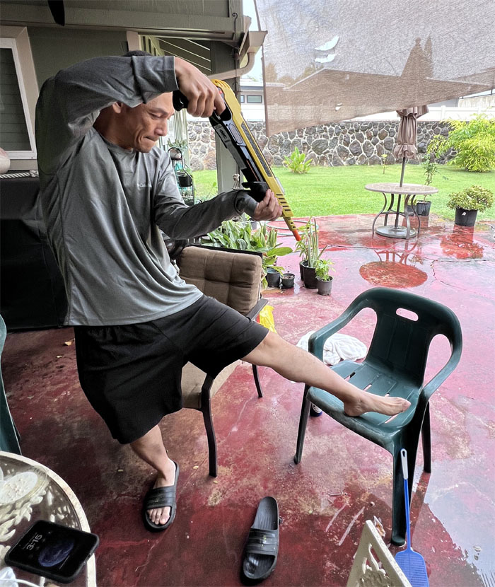
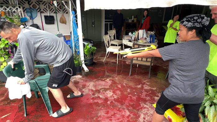
Tessa NOT using the Bug-A-Salt gun for its intended purpose on a willing victim, I mean volunteer. High high.
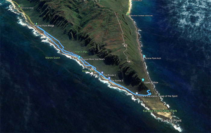
Our fun and wet outing covered 5.58 miles out and back on the westernmost tip of the island.
Photos taken by Aida Gordon, Aileen Agustin, Akira Suzuki, Chico Cantu, Cinja Ribeiro, Ferlino Carinio, Haig Van Roubian, Jay McClain, Mari Saito, Mitch Komori, Monaliza Guillermo, Robin Farr, Roger Schiffman, Tessa Bugay, and yours truly. Not necessarily in order.
Note: I have been made aware that some hikers have been using my blog as a hiking guide and getting lost on the trails. Please note that this blog was made to document the hike for the crew(s) that did it. That is why some of my comments will seem to have no relevance or meaning to anybody outside of the crew(s) that hiked that trail. My blog was never meant as a hiking guide, so please do not treat it as such. If you find inspiration and entertainment from these hikes, that is more than enough. If you plan on replicating these hikes, do so in the knowledge that you should do your own research accordingly as trail conditions, access, legalities and so forth are constantly in flux. What was current today is most likely yesterdays news. Please be prepared to accept any risks and responsibilities on your own as you should know your own limitations, experience and abilities before you even set foot on a trail, as even the “simplest” or “easiest” of trails can present potential pitfalls for even the most “experienced” hikers. One should also always let somebody know of your hiking plans in case something doesn’t go as planned, better safe than sorry.

{ 4 comments… read them below or add one }
Plan B was a fun one even on a rainy Sunday! Good food, wonderful company . The post party gathering at. Chico’s was soooooo entertaining! PS> I never say come back in 30 minutes to other hikers but I know who did!!!! Lol
Aloha Aida,
Yep, good fun. Yes, we all know who.
Mahalo
Ohhh Plan B didn’t disappoint.. Always fun wherever or whatever we do! Ono grinds and I love the downpour on me lol
Aloha Tessa,
Yep, any Plan seems to work out in the end as long as you have a good group.
Mahalo