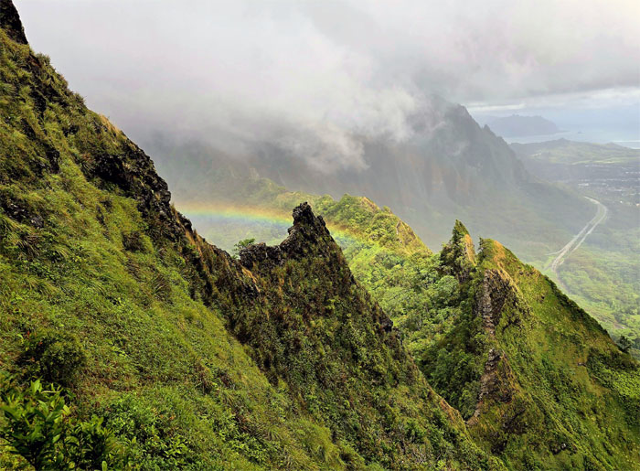
A friend came out of his hiking hibernation to start wrapping up loose ends on the KST. Slight exaggeration. Just slight.
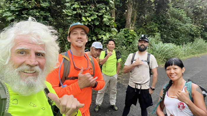
Thanks to Ferlino for dropping Akira, Chico, Ryan, Scott and myself off to the starting point where we met up with Aileen to round out today’s group.
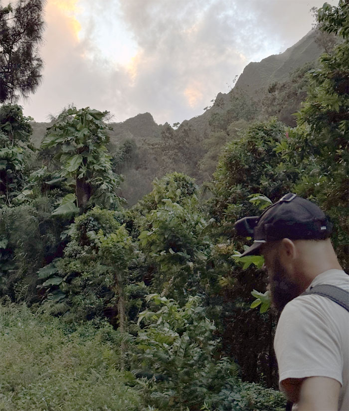
Walking up the service road used by the electric utility that had its genesis with King Kalakaua who had Iolani Palace wired for artificial illumination in 1886. By 1890, 797 homes in Honolulu had electricity. And in 1891, Hawaiian Electric was incorporated.
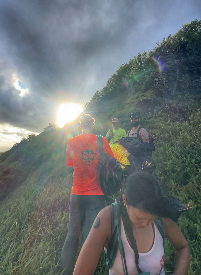
Hiking into the sun, better than into the rain. Don’t speak too soon.
Starting on the saddle route that was pioneered by Pete Clines and friends back in 2011.
Is that Shark Fin? How many times have you done this?
Scott starting on an easy saddle or so he thought.
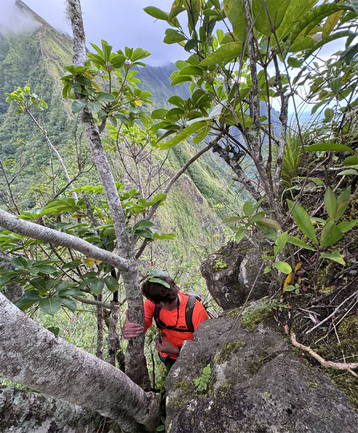
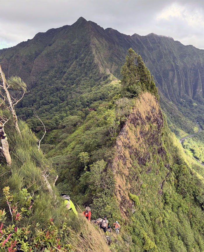
Squeezing our way between the trees and the rocks as we contoured to the top.
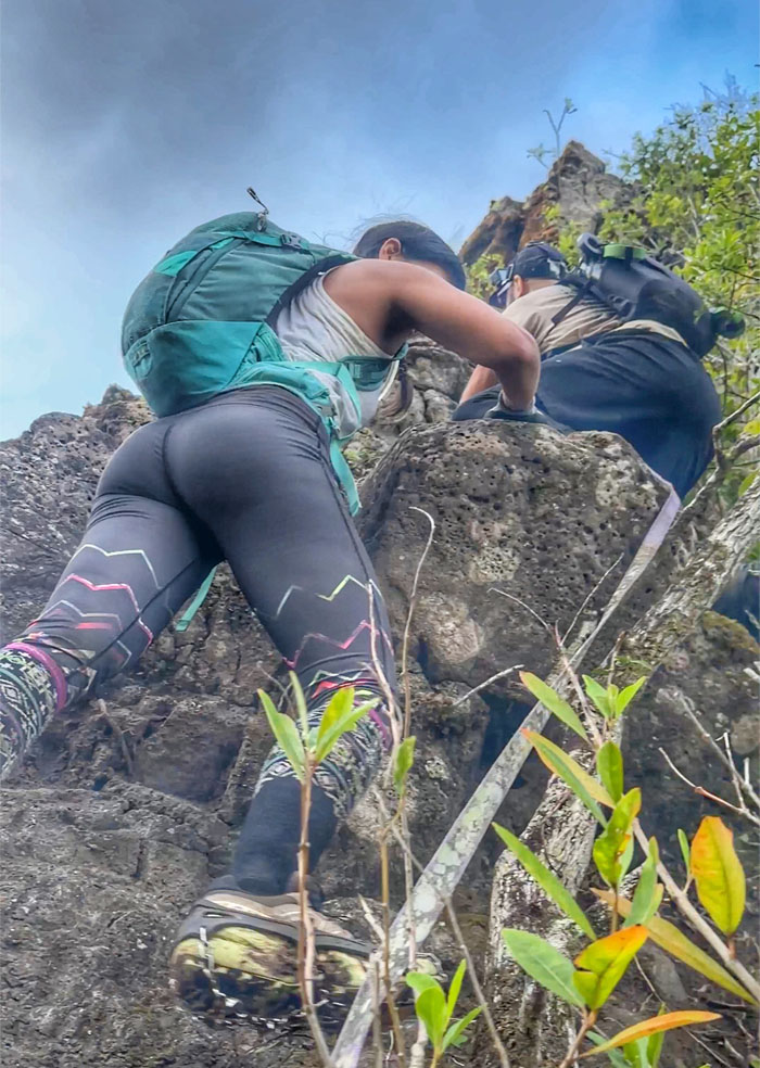
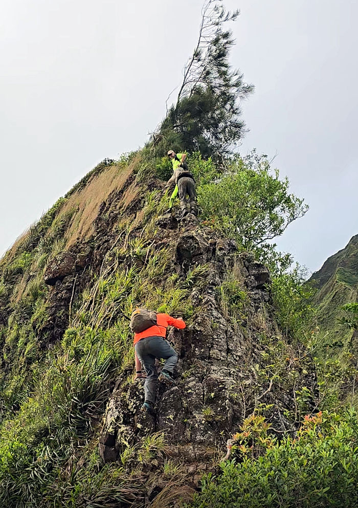
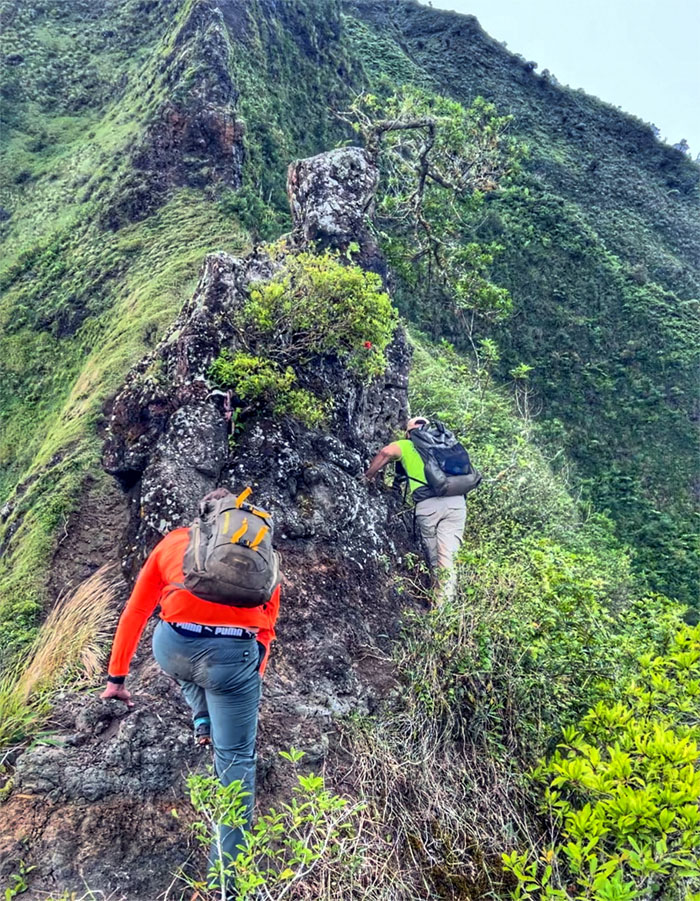
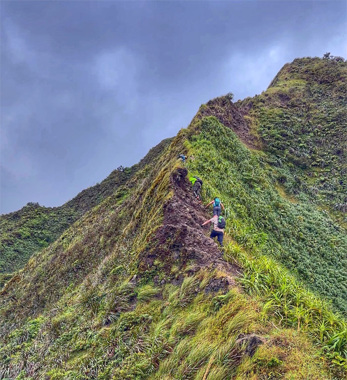
Aileen and Scott scrambling their way up the rockface.
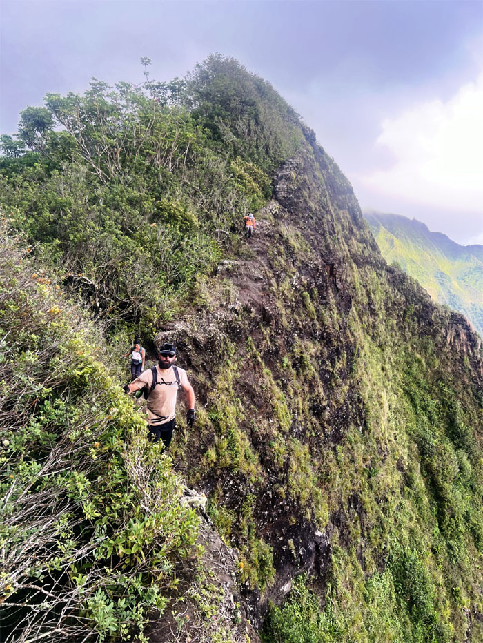
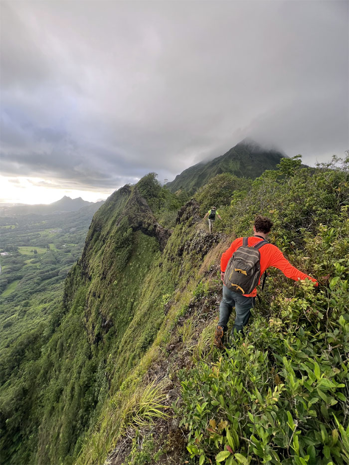
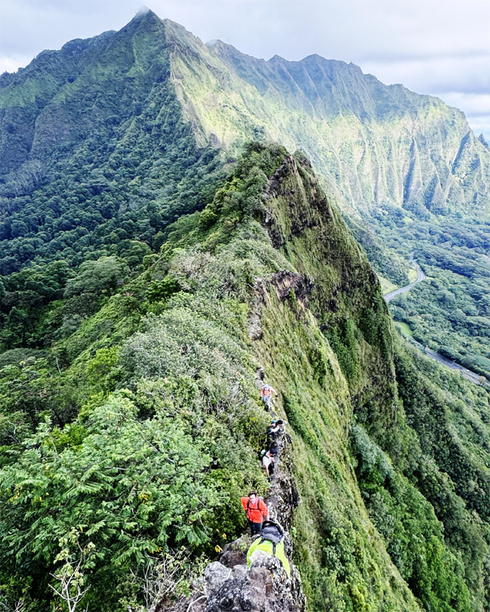
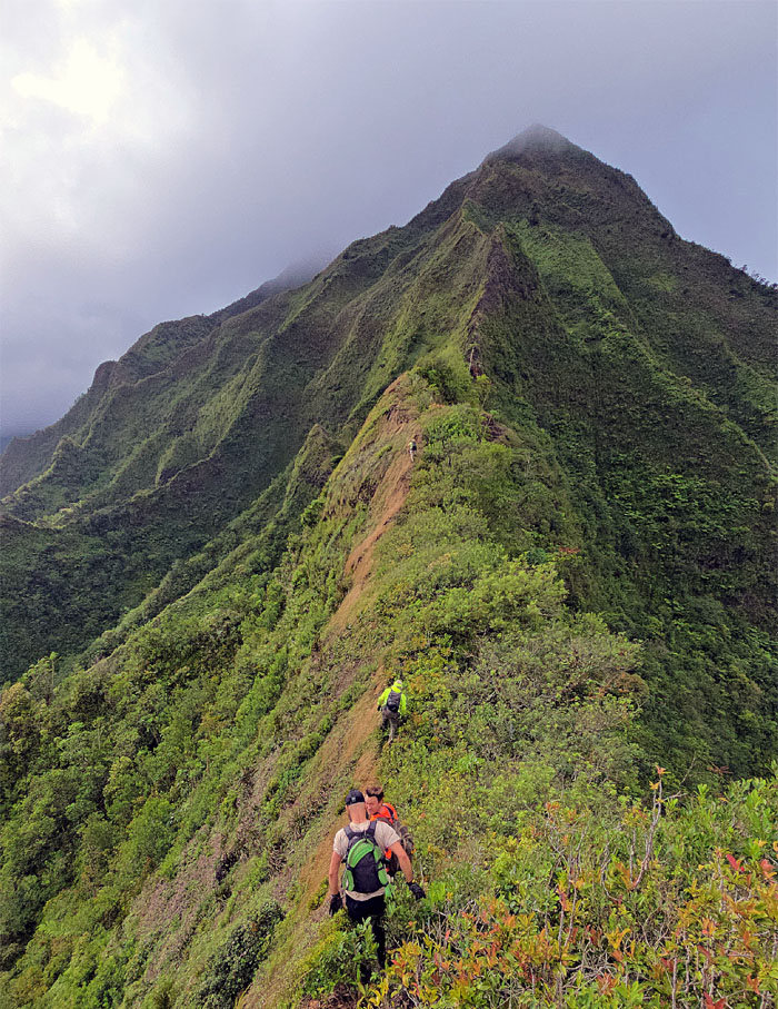
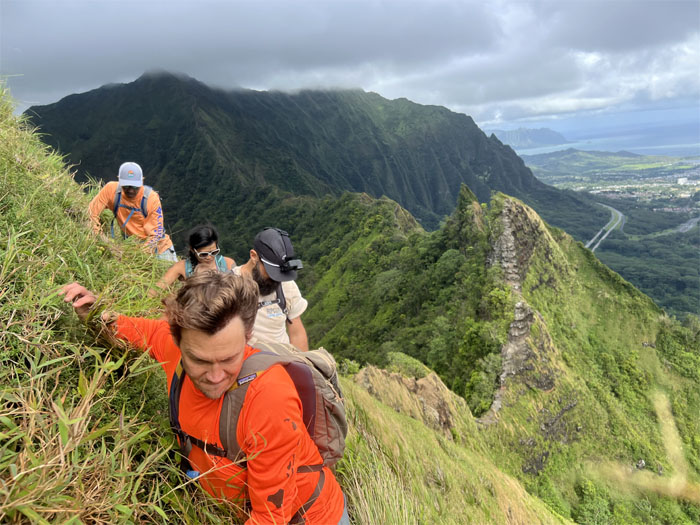
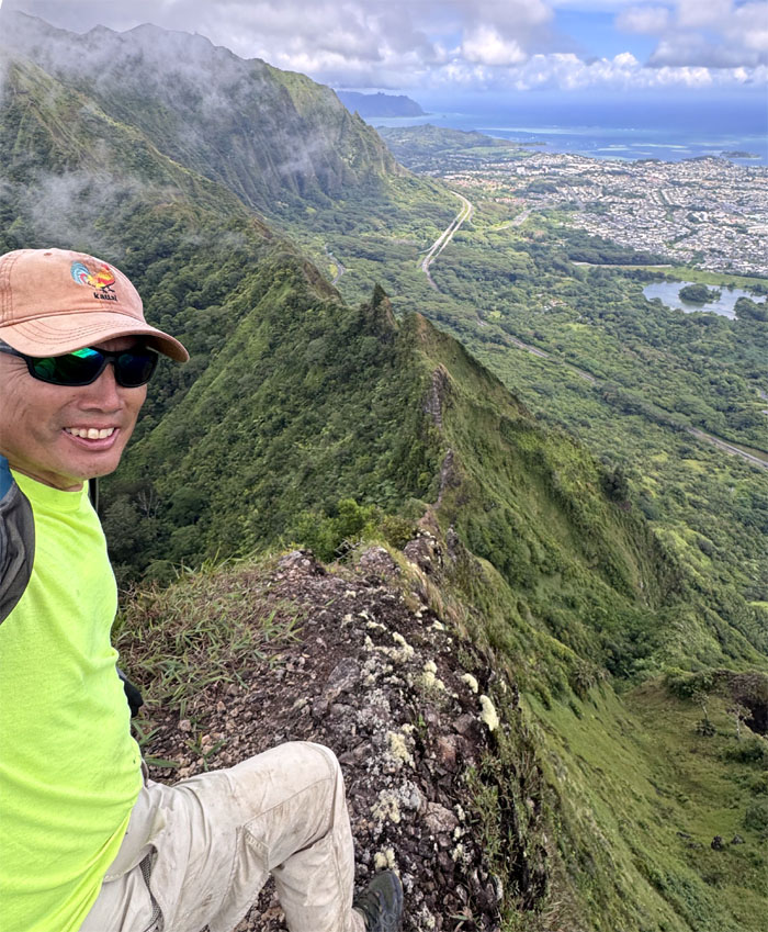
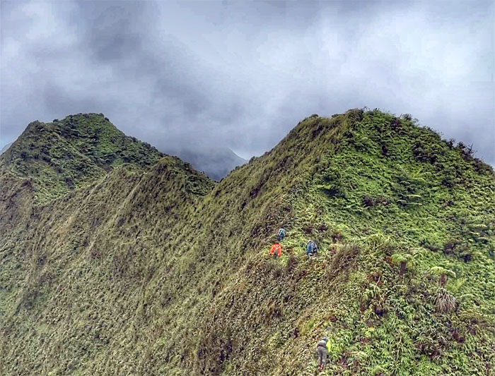
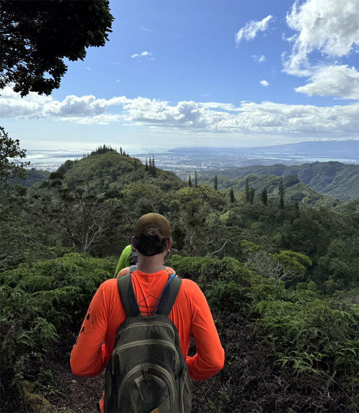
Stiff trade wind breezes kept us steady on the narrow ridge line.
Akira watching his step as he made his way on the trail. Medicine will be consumed after we are off the trail.
Up and over another small hill.
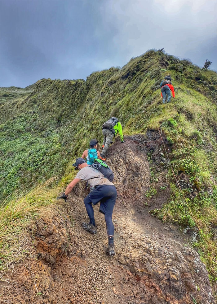
Climbing, pulling, scooting, straddling and walking were all used during our traverse of the saddle.
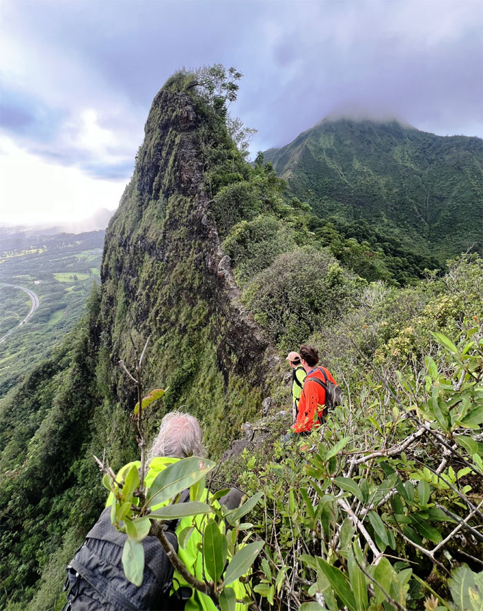
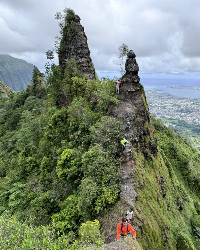
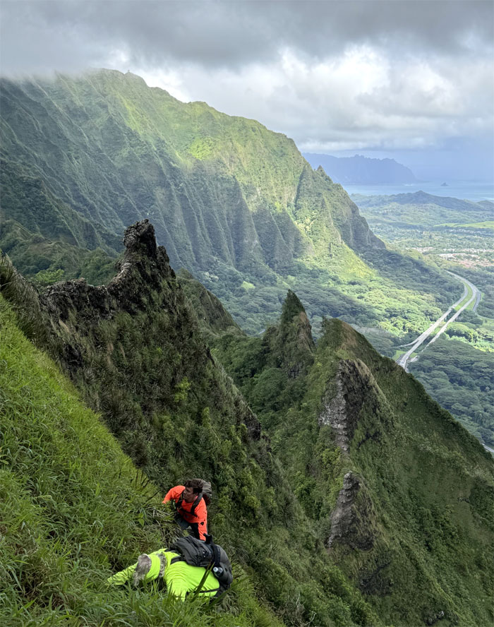
Pete Clines was the hiker that gave these menacing pinnacles their “silly names.”
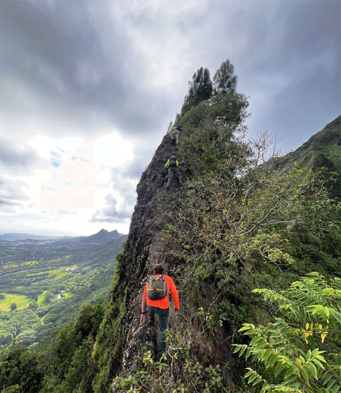
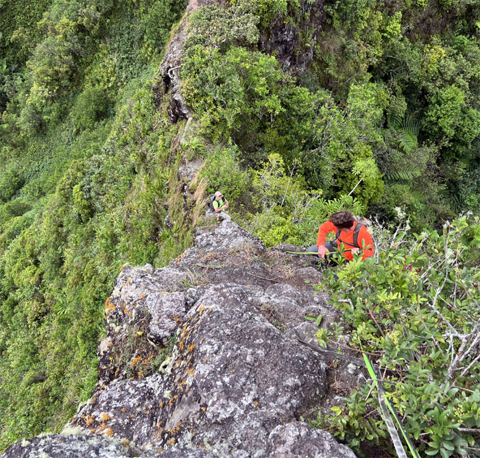
The group waiting in the climbing queue for their turn.
Climbing towards the top of the first “ear” feathered by pine trees.
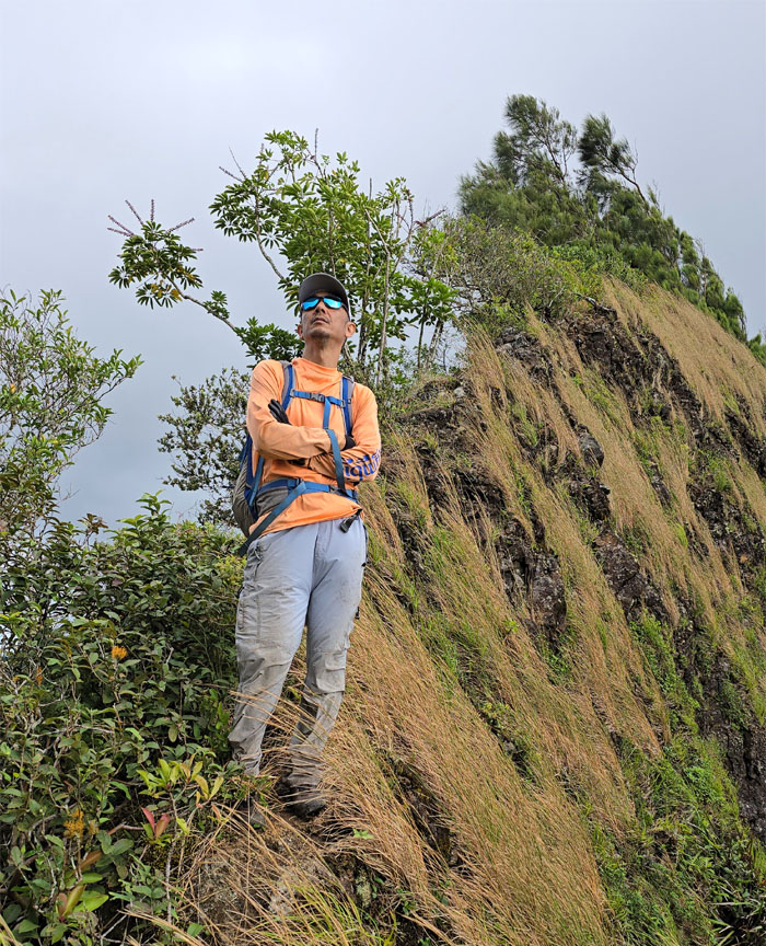
Akira intently observing our climbing progress.
Climbing and contouring around the top of the second “ear.”
The group traversing between the two rock obstacles.
Scott ready to flex his guns going down the next obstacle. Better not be firing blanks.
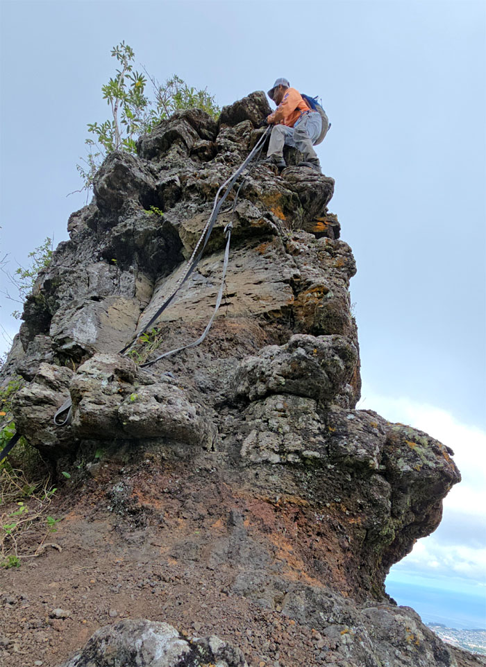
Ryan climbing down with additional webbing for that additional peace of mind.
Akira taking his own route to climb down. That’s okay, I have long legs.
Contouring the obstacle, but no popping today.
The group working their way down and up out of the rock obstacles.
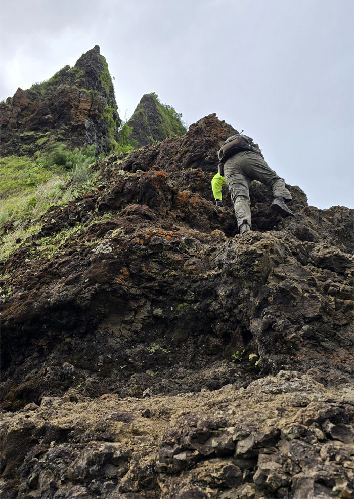
Chico climbing up the crumbly pile of rocks and dirt.
Ryan interrupted his lunch to provide a helping hand.
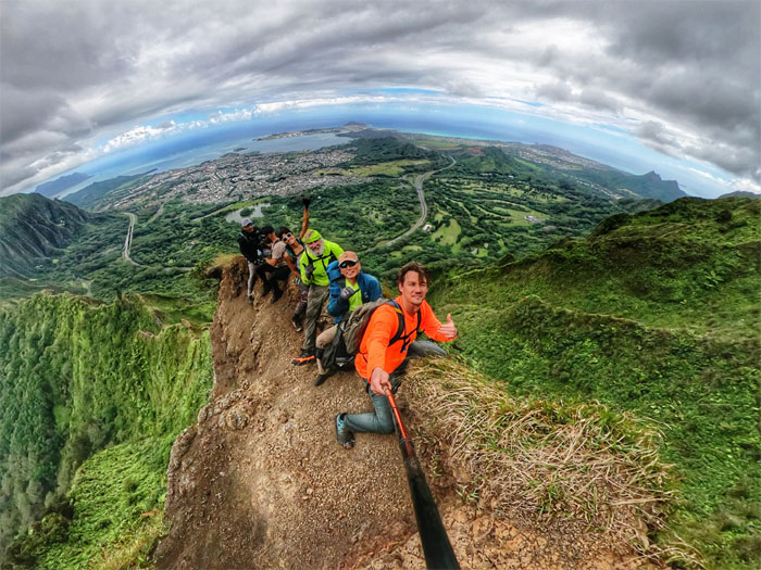
Group photo at the scenic spot with the bulging refrigerator above our heads.
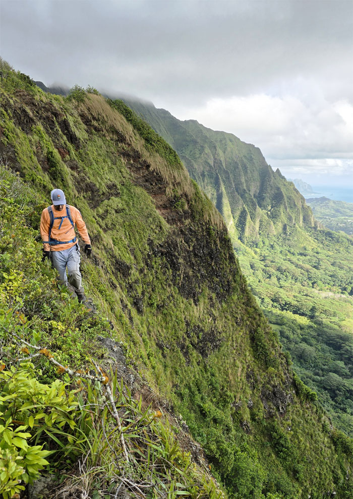
Contouring below the crumbly ridge line.
Climbing up the lower tier of the “wall.”
A passing rain shower briefly moisturized our epidermis and rain jackets.
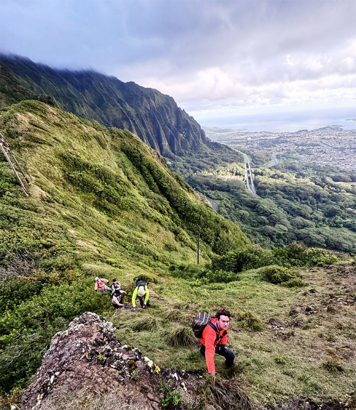
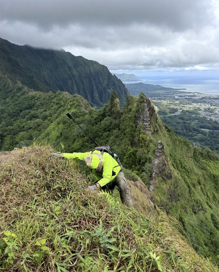
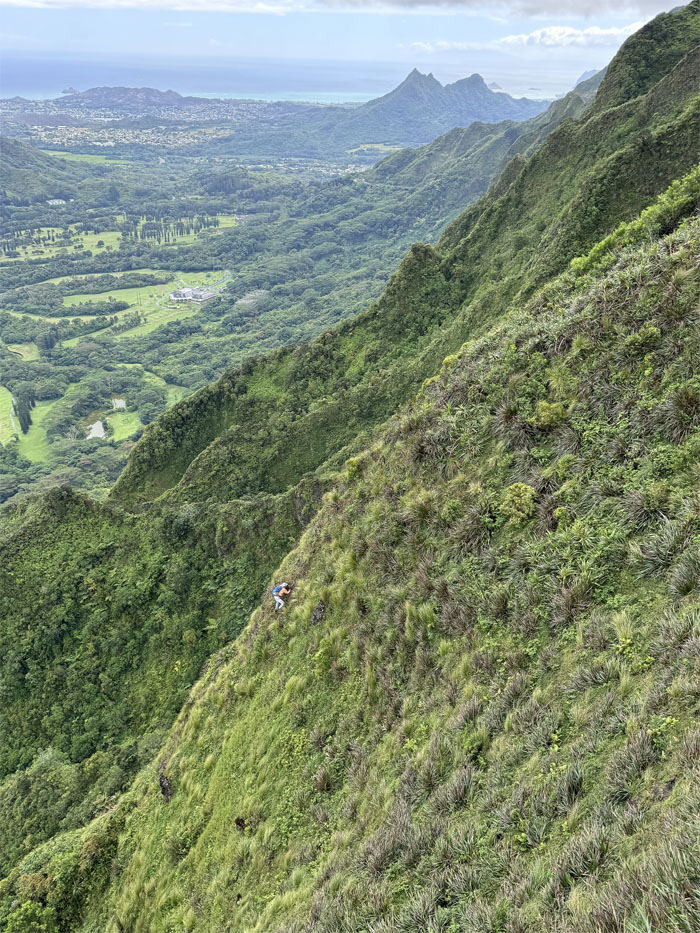
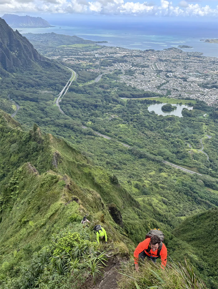
Akira climbing his way up the grassy flank of the ridge line. Different perspective.
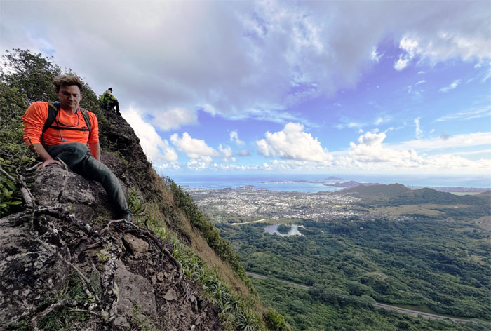
Scrambled to the “end” of the ridge in the “wrong” direction.
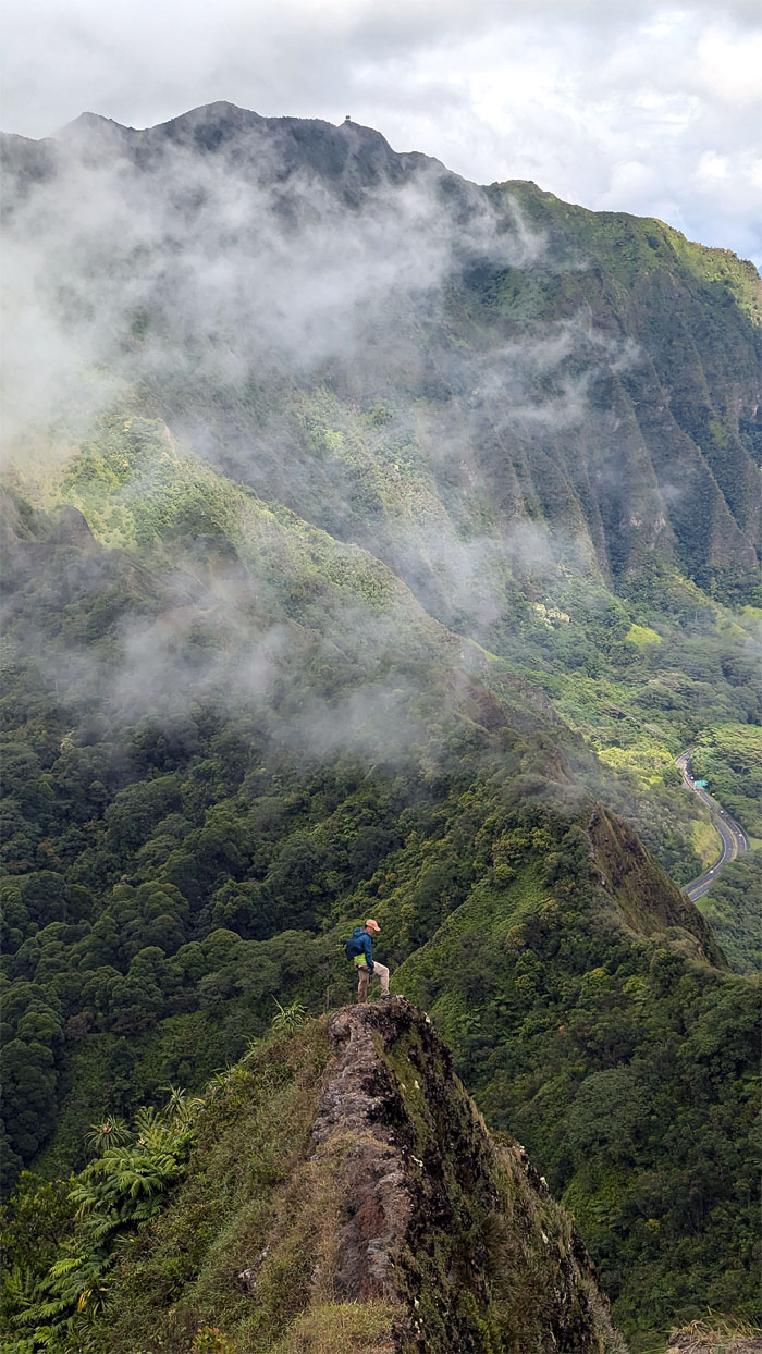
The closest I will ever get to the top of the Can Opener, unless I want to push my threshold.
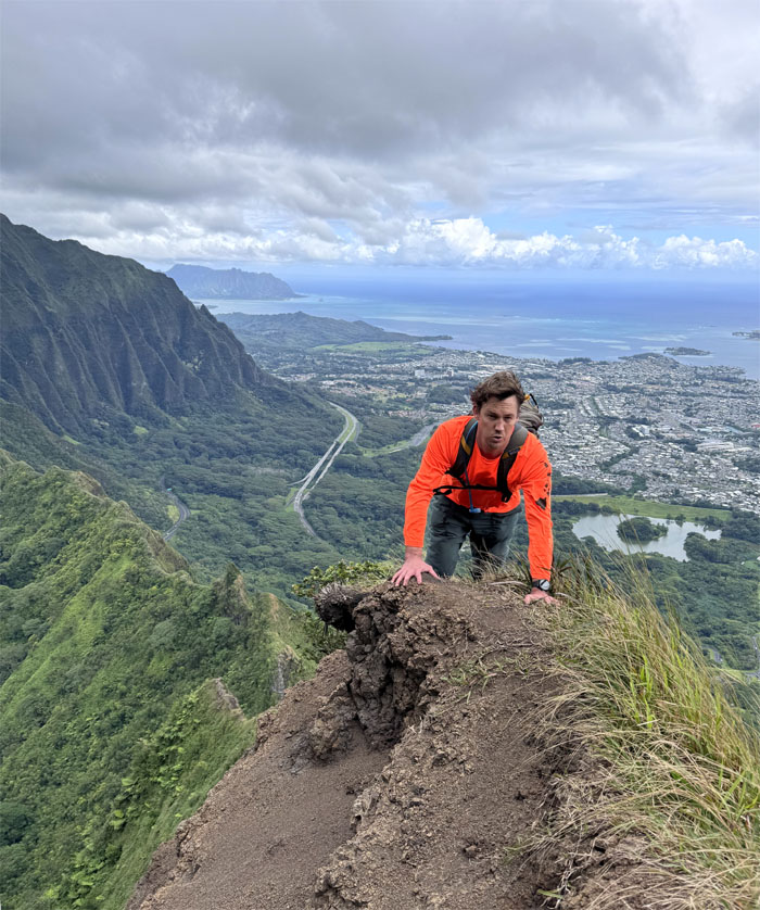
Resuming our crumbly climb towards the summit.
Native plants such as the uki and ‘ie’ie were our constant climbing companions in the mountains.
Keep to your left. Your other left.
Sitting on the shadow of its former self.
Leaving the eroded section for greener pastures.
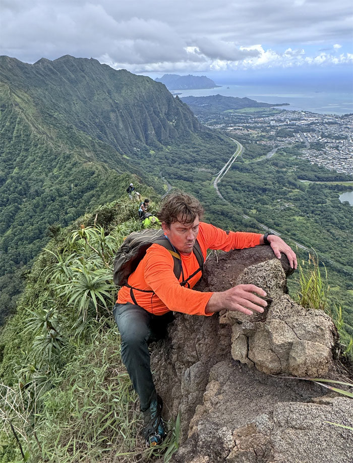
Ryan testing the rocks before committing to the climb.
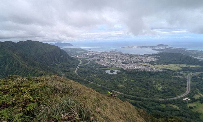
The group beginning their slow and steady climb up the grassy slope against the backdrop of the Windward side.
Traversing over a couple false peaks to get to to the true peak.
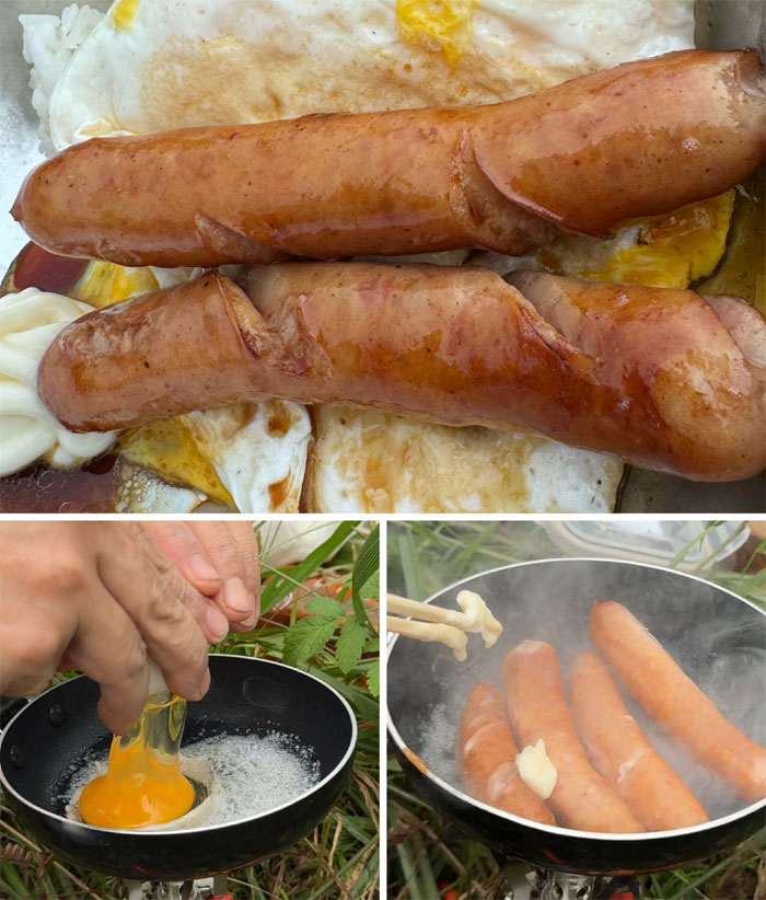
Sausage, eggs and rice are what’s cooking in the mountains. Priorities.
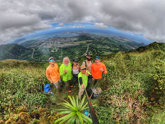
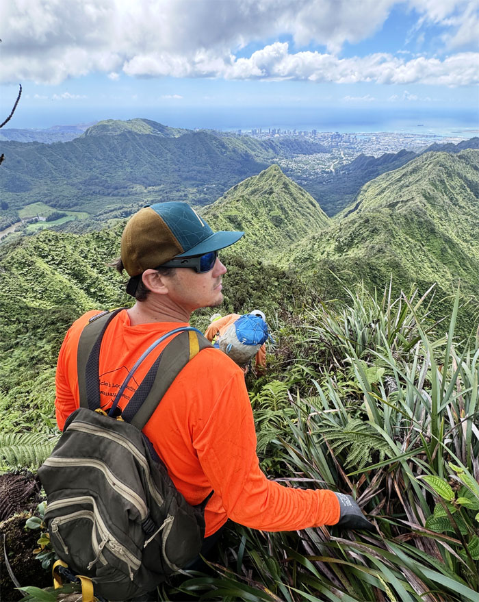
Mother Nature treated us to a clear scenic view at the 2,782′ summit.
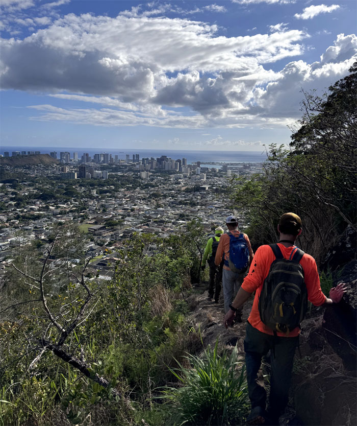
Dropping off the massive mountain as we began our descent down on the trail that was carved out of the forest in the 1930s by the Civilian Conservation Corps.
Looking back as the summit whose name that means swirling heavens receded in the distance. It seems that reaching the summit wasn’t a reality until circa 1996 not for lack of trying.
Passing through a grove of pine trees, that were introduced to Hawaii in the early 19th century for economic, forestry and ornamental reasons.
The trail skirting the boundaries of the Oahu Country Club and Nu’uanu whose close proximity to the town of Honolulu ensured that it would become home to many of the movers and shakers that shaped Hawaii into what it is today.
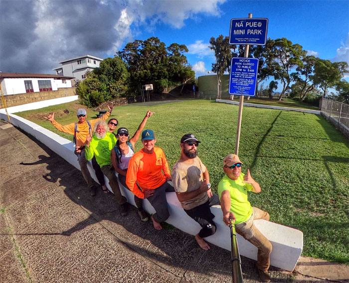
We rode the White Dragon at the end, which was more stable and comfortable. I don’t think it’s going away anytime soon. Thanks to Agnes for the unexpected pick up after her work shift ended. Now Ferlino can go pray for our souls. Some of us need it more than the others.
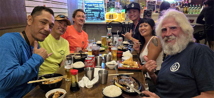
We had our dinner at Kenko-ya where Japanese was not really Japanese per the Japanese. Our one step closer to the finish line hike covered 5.17 miles with a solid group.
Photos taken by Aileen Agustin, Akira Suzuki, Chico Cantu, Ryan Meyer, Scott Peterson, and yours truly. Not necessarily in order.
Note: I have been made aware that some hikers have been using my blog as a hiking guide and getting lost on the trails. Please note that this blog was made to document the hike for the crew(s) that did it. That is why some of my comments will seem to have no relevance or meaning to anybody outside of the crew(s) that hiked that trail. My blog was never meant as a hiking guide, so please do not treat it as such. If you find inspiration and entertainment from these hikes, that is more than enough. If you plan on replicating these hikes, do so in the knowledge that you should do your own research accordingly as trail conditions, access, legalities and so forth are constantly in flux. What was current today is most likely yesterdays news. Please be prepared to accept any risks and responsibilities on your own as you should know your own limitations, experience and abilities before you even set foot on a trail, as even the “simplest” or “easiest” of trails can present potential pitfalls for even the most “experienced” hikers. One should also always let somebody know of your hiking plans in case something doesn’t go as planned, better safe than sorry.






{ 2 comments… read them below or add one }
Mahalo kenji-san, nothing like coming out of hibernation into a sunny saddle day. Such a blast, good people. And thanks to our rides ferlino and Agnes. Who’s ready to finish me
Aloha Ry-an,
Thanks for coming out to play with us! Yes, let’s finish it already!
Mahalo