
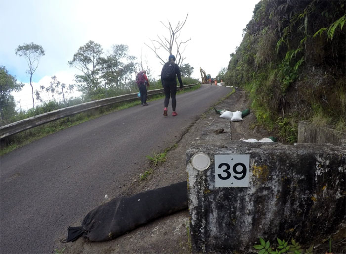
Unwanted attention forced us to a different venue for today. Thanks to Jasmin for dropping Analyn, Cisco, Ferlino, Tene and myself off at the airfield that will soon fall back into the hands of the Army. Tick tock.
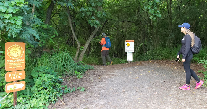
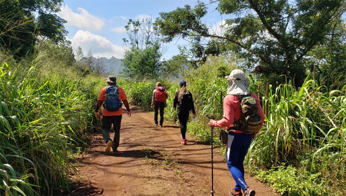
Trailhead
Starting our way up the salt encrusted trail.
Kealia Trail
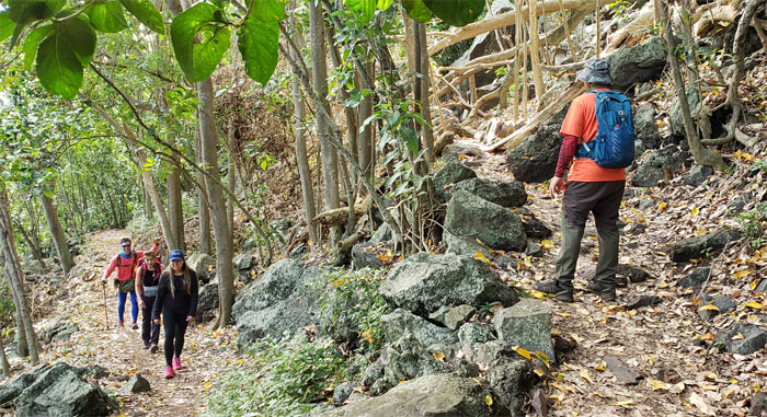
Going up the 19 switchbacks where we saw hikers coming up and going down, some familiar and some not so familiar.
Kealia Trail
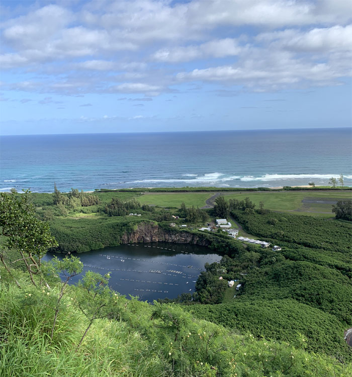
Looking down at the fish pond that was once the rock quarry used to build … Photo by Cisco Quintanilla.
Kealia Trail
… Dillingham Airfield, formerly known as Mokuleia Airfield. Photo by Cisco Quintanilla.
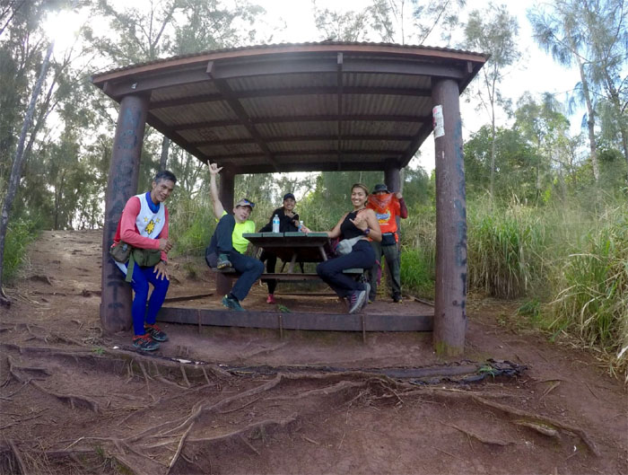
Picnic Shed
Group photo at the top of the trail where we sought shelter from the blazing sun, left to right: Ferlino, myself, Tene, Analyn and Cisco.
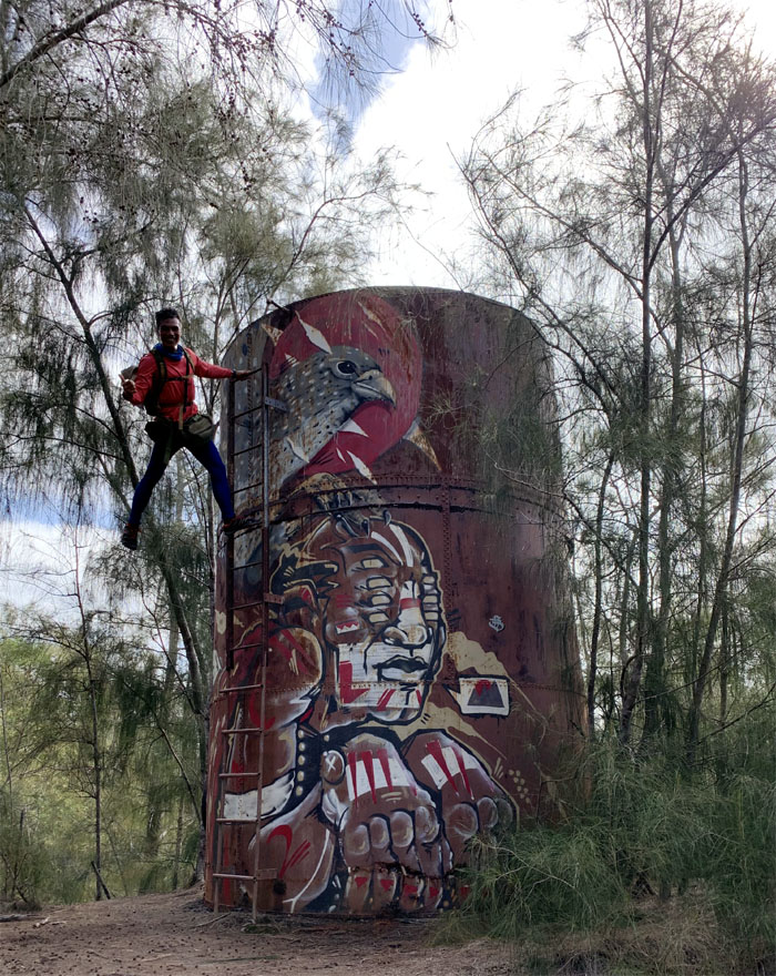
Water Tank
If he’s not hanging off something, he’s not happy. Photo by Cisco Quintanilla.
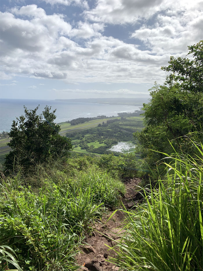
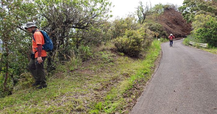
Kuaokala Trail
Heading up the hilly trail as it turned into the back of the sun.
Waianae Summit Trail (WST)
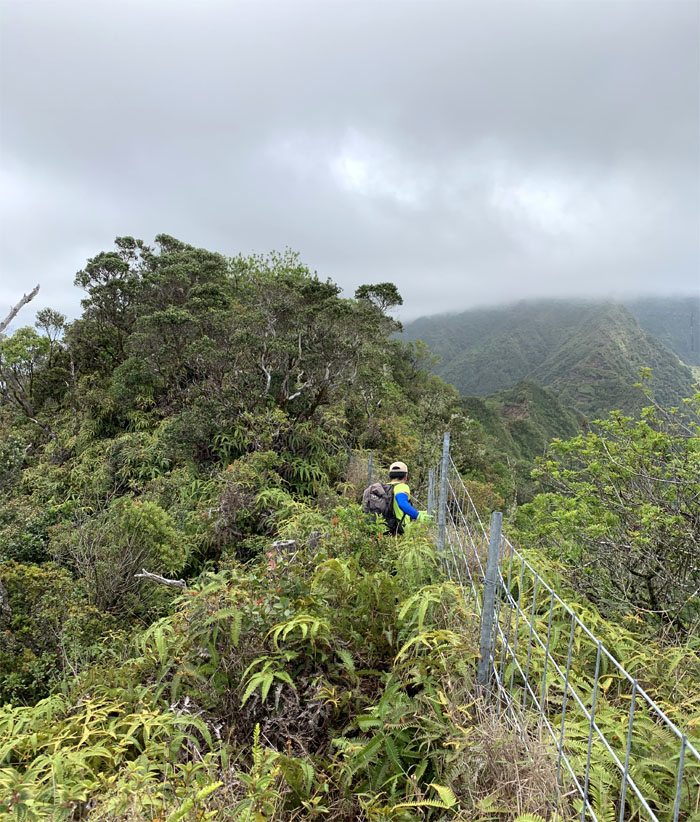
Following the fence line back down to the trail. Photo by Cisco Quintanilla.
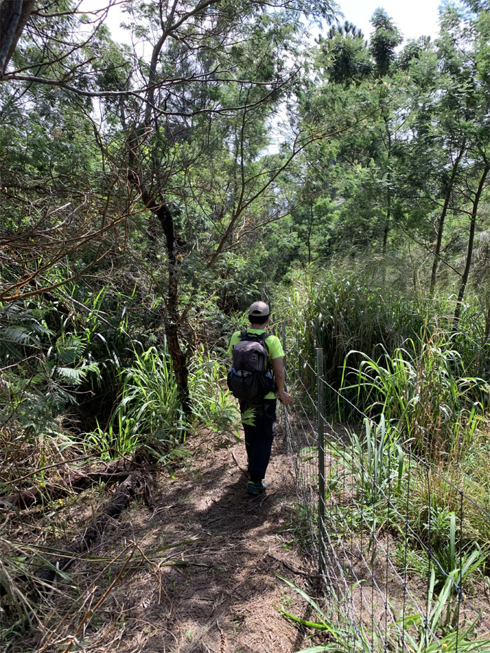
WST
Walking the wide open jeep road bordered by itchy California grass.
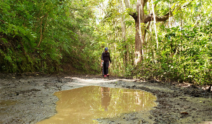
WST
Chocolate milk reflections.
WST
Not quite the Energizer Bunny, but A for effort.
WST
Enjoying the fenced view of Makua Valley. Photo by Ferlino Carinio.
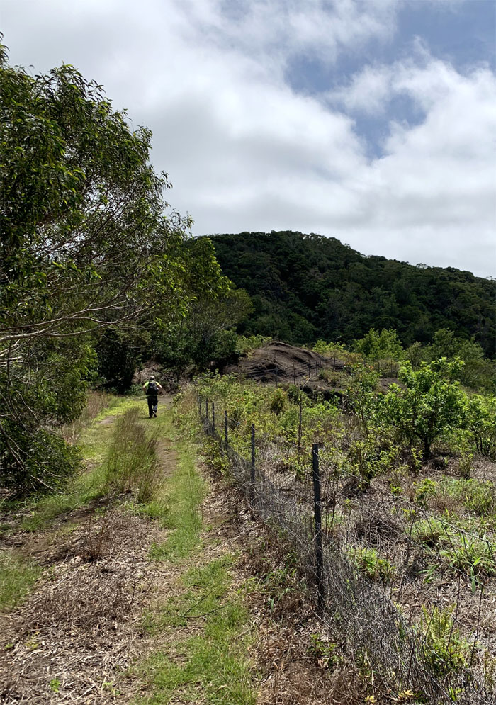
WST
Following the fenced level trail before it turned into a sloped trail. Photo by Cisco Quintanilla.
Moku
Cisco approaching the geodetic marker where we turned right to continue on the trail.
WST
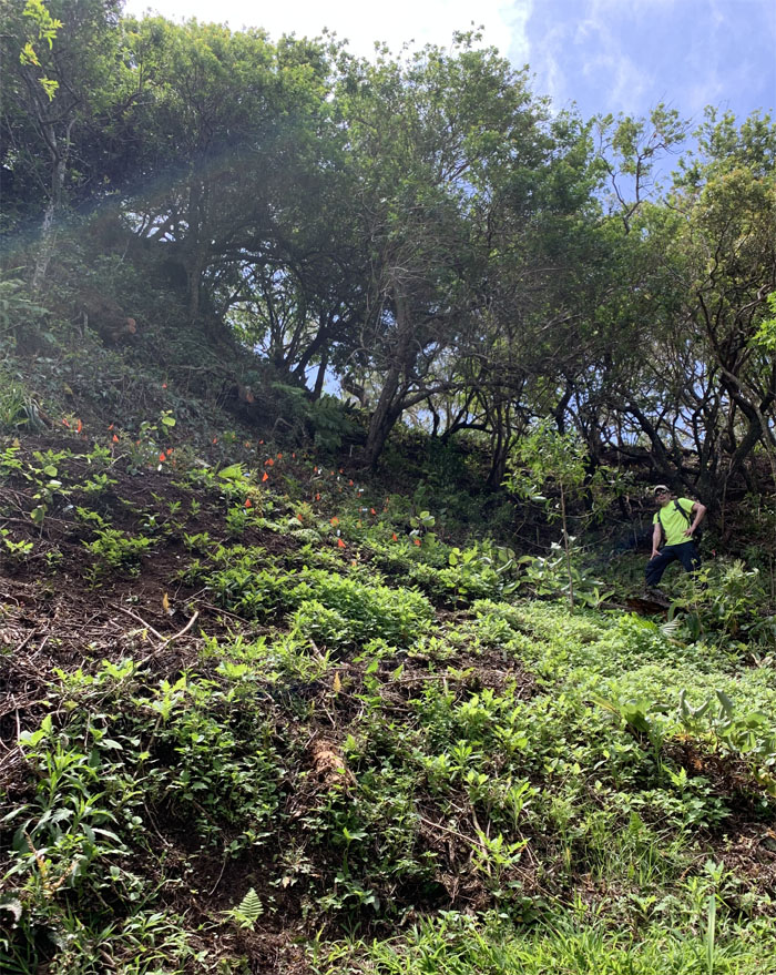
Entering the 658 acre Pahole Reserve that protects the native ecosystem. Photo by Ferlino Carinio.
WST
Cisco making his way over the wooden fenced trail.
WST
Switch backing our way up through the tinkling markers for native plants. Photo by Cisco Quintanilla.
WST
The group skirting the new and improved snail habitat.
WST
Breaking out into the eroded open section to scenic views of Makua Valley.
WST
Resuming our hike on the surprisingly cleared trail.
Mokuleia Lookout
Our photo break at the benched lookout was as brief as the thought to drop down to the picnic shed and pluck the refreshing tangelos in season.
WST
Pulling ourselves up the hilly trail.
WST
The group cresting the top of a hill and making their way down.
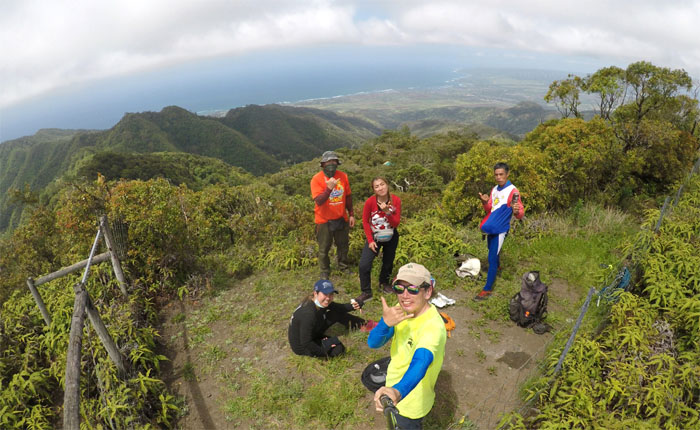
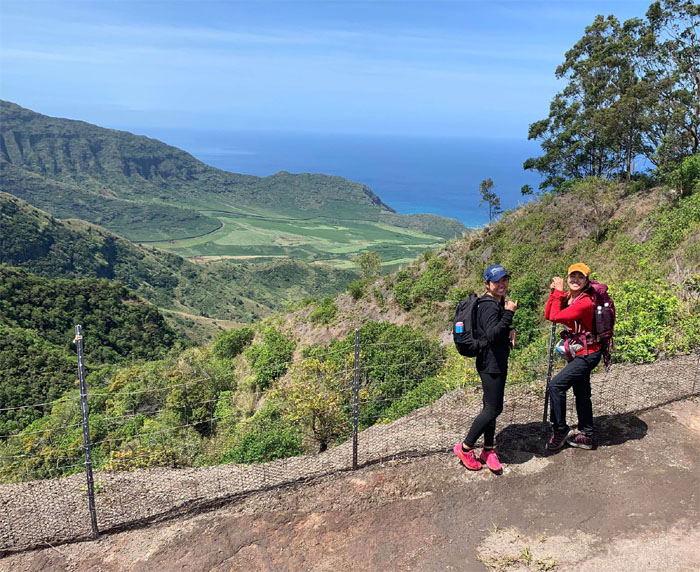
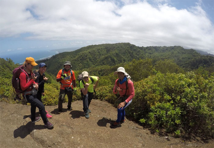
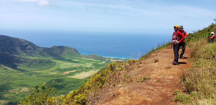
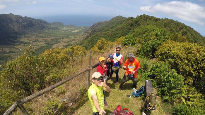
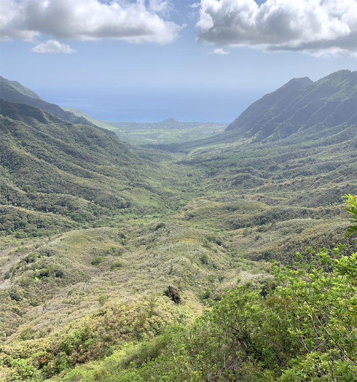
Three Corners
Group photo looking out towards Mokuleia Valley.
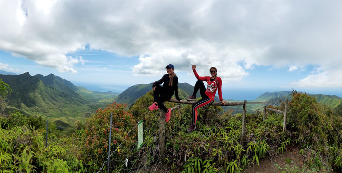
Three Corners
Analyn and Tene perched on the fence with Makaha and Makua Valleys behind them. Photo by Ferlino Carinio.
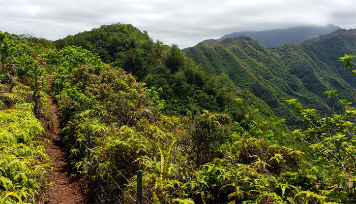
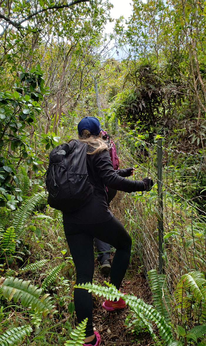
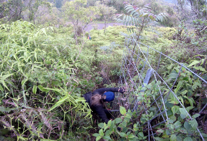
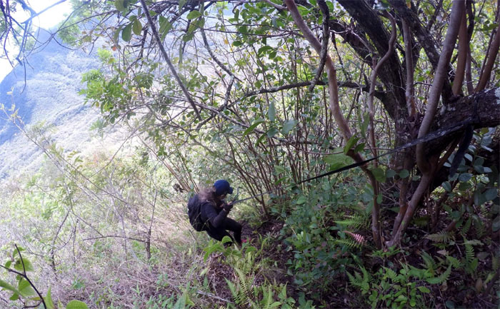
WST
Pushing our way through the insufferable jungle of uluhe ferns and thorny thimble berry bushes. Photo by Cisco Quintanilla.
WST
We can see the road for the uluhe ferns.
WST
Tene dropping down the steep section of the fence line. Photo by Ferlino Carinio.
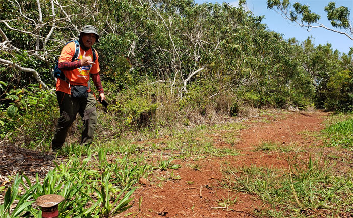
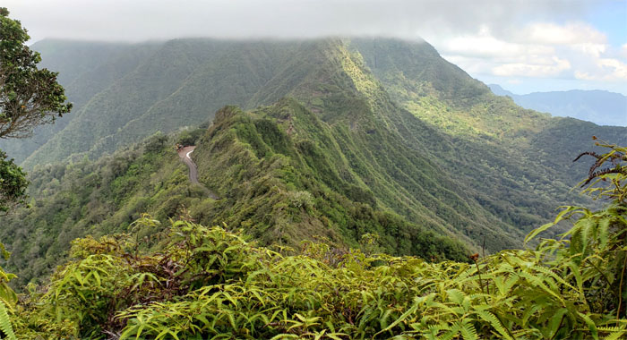
Ka’ala Road
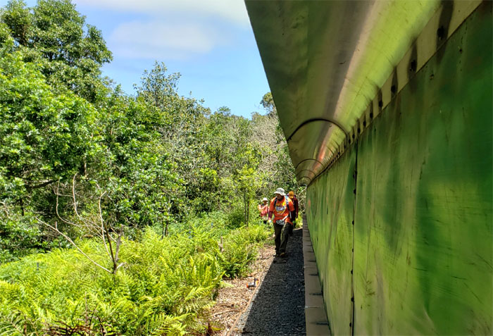
Pounding the paved road, at least we don’t have to walk all the way up to marker #78. Photo by Ferlino Carinio.
Junction
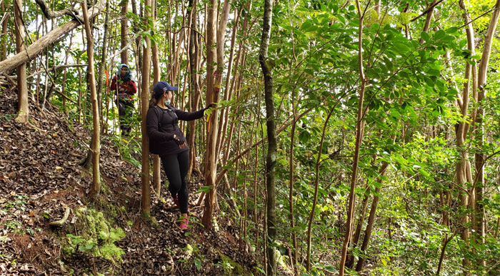
Trading our short stay on asphalt for crumbly dirt and strawberry guava trees.
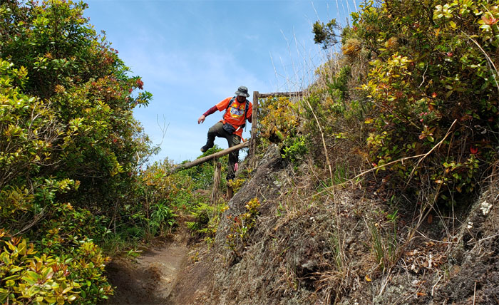
King Kong Ridge
Tene going down the steep section of the ridge with the assistance of webbing that carbon dating failed to determine its age. No wonder, it’s not organic. Photo by Ferlino Carinio.
King Kong Ridge
Looking ahead to the simian shaped rocks interrupting the forested spur ridge. Photo by Cisco Quintanilla.
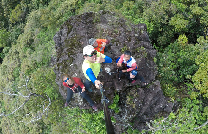
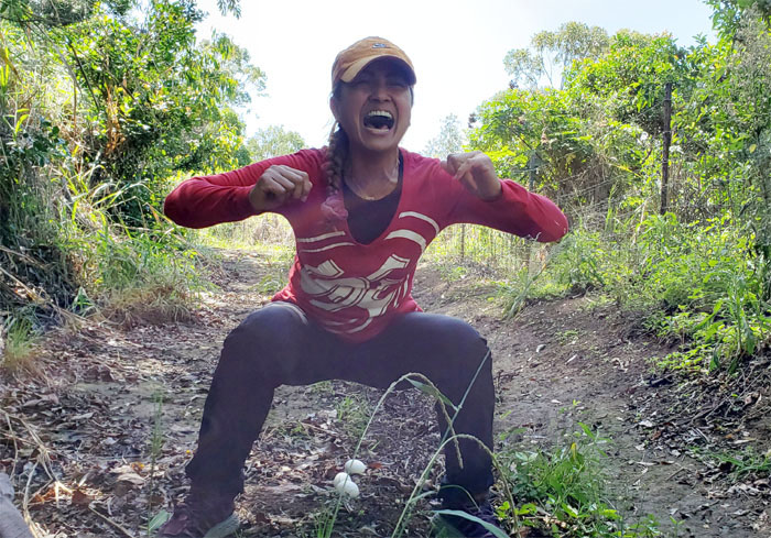
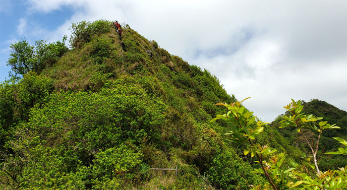
King Kong
Perched on top of the not so terrifying head.
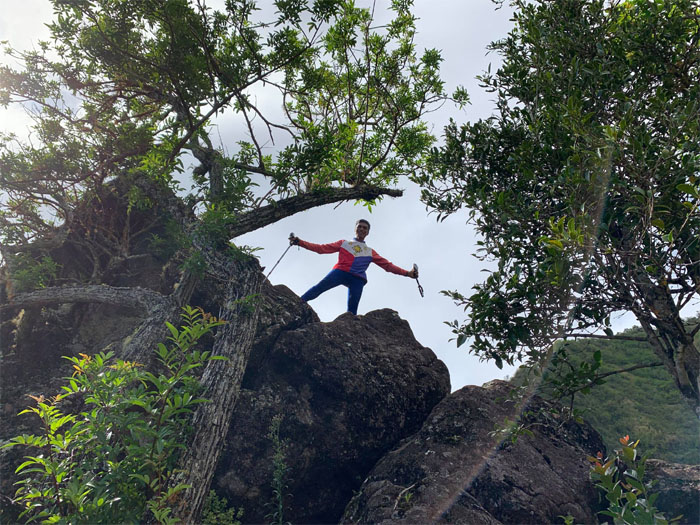
King Kong
Ferlino making his way down.
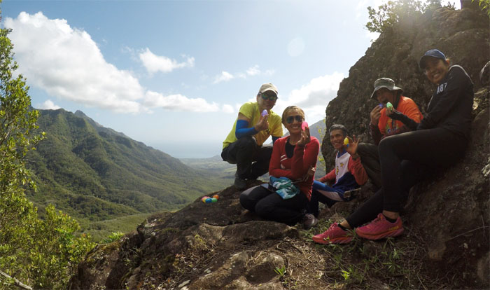
King Kong
Happy Easter, hoping our brightly colored plastic eggs were filled with TP and face masks. Photo by Ferlino Carinio.
King Kong Ridge
Contouring our way to the right where we slowly regained the ridge line.
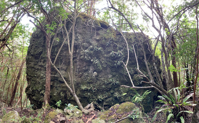
Kahuna Cave
Approaching the back of the huge boulder that got deposited on the ridge. Photo by Cisco Quintanilla.
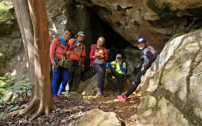
Kahuna Cave
Five and only five souls for our group photo by Ferlino Carinio.
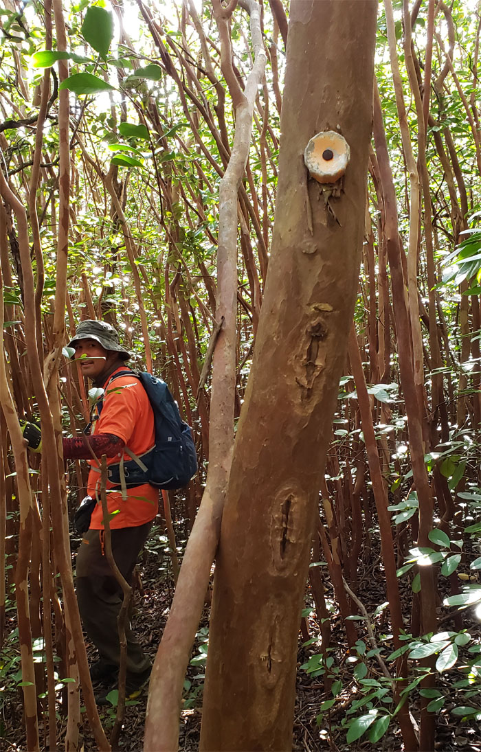
King Kong Ridge
The bottle capped trees guided our way down through the strawberry guava tree line.
Makaha Valley
Passing the BOWS pumping station.
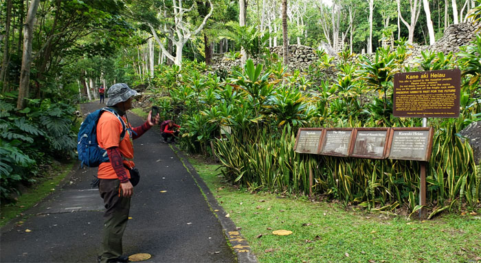
Kane’aki Heiau
Checking out the restored agricultural temple from a social distance.
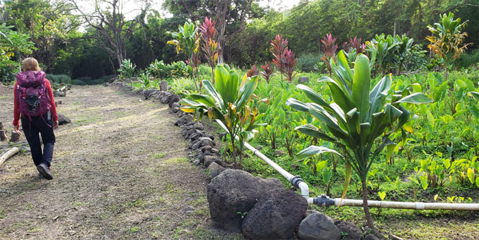
Mohala I Ka Wai
Walking through the lo’i kalo (taro patch) meant to revitalize the lush valley.
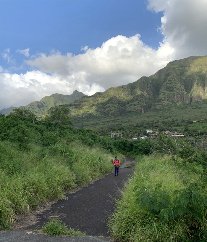
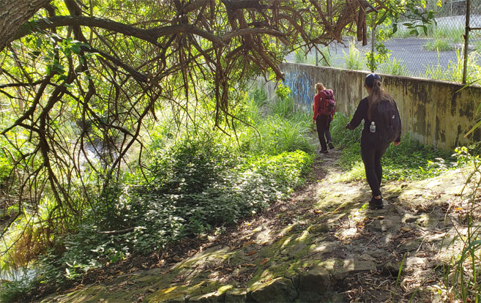
Makaha Valley
Back on the road. Photo by Cisco Quintanilla.
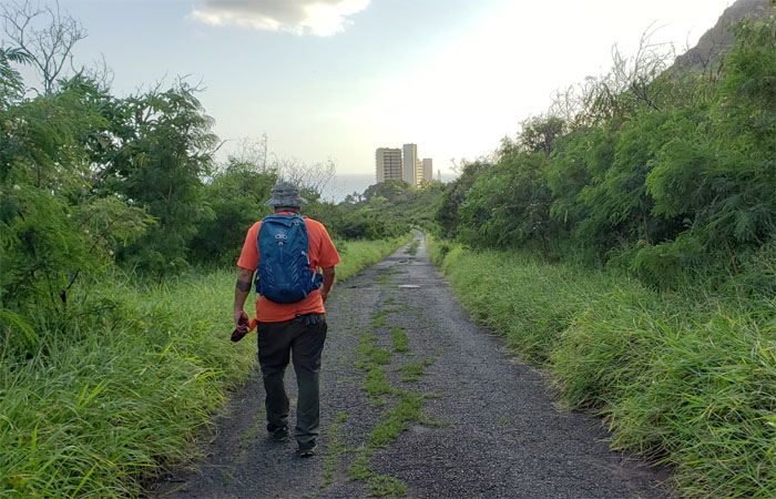
All pau
Heading out of the valley where we killed time with strutting peacocks and thorny plants until Jasmin picked us up. Mahalo!
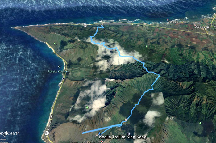
GPS Tracks
Our 15.4 mile coast to coast hike covered ridges, mountains and valleys populated with overgrowth, fences and spectacular views all around. A nice grinder hike with a fun crew. Post hike meal at L&L Drive Inn where shakes were not on the menu.
Note: I have been made aware that some hikers have been using my blog as a hiking guide and getting lost on the trails. Please note that this blog was made to document the hike for the crew(s) that did it. That is why some of my comments will seem to have no relevance or meaning to anybody outside of the crew(s) that hiked that trail. My blog was never meant as a hiking guide, so please do not treat it as such. If you find inspiration and entertainment from these hikes, that is more than enough. If you plan on replicating these hikes, do so in the knowledge that you should do your own research accordingly as trail conditions, access, legalities and so forth are constantly in flux. What was current today is most likely yesterdays news. Please be prepared to accept any risks and responsibilities on your own as you should know your own limitations, experience and abilities before you even set foot on a trail, as even the “simplest” or “easiest” of trails can present potential pitfalls for even the most “experienced” hikers.
{ 6 comments… read them below or add one }
Thank you. Had a heart tone
Aloha Ferlino,
Mahalo! You had a ? . LOL.
Just checked out a bunch of your recent hikes.. looks awesome. What kind of gps or maps do you use to help you not get lost? Are u guys like part of a hiking group? . I’ve been itching to do some longer hikes That I’ve never done. Would love to join sometime
Aloha Corinne,
Thanks. Most of the routes I have done, so most of it is from memory or just blundering around. lol. I have my own group of friends I hike with, if you want to join, hit me up on FB.
Mahalo
Looked like a fun grinder and not too roller coaster from what I could tell. Sorry to have missed it – maybe another time! PS> What did Ferlino have? A heart what???
Aloha Aida,
Thanks. Yes there’s always another time as the mountains will always be there. Not quite sure what Ferlino had.
Mahalo