
Akira and Kenny joined me today to get thrashed thoroughly by the jungle, just a glutton for punishment. Thanks to Tessa for dropping us off at the trailhead which saved roughly 10 minutes of walking. Had to conserve our energy for the hike ahead of us.
Laie Trail
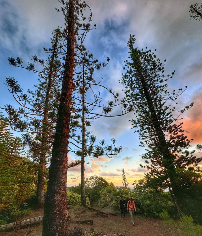
Passing through the grove of Norfolk Pine Trees that were planted in the late 1880s to help stem erosion.
Laie Trail
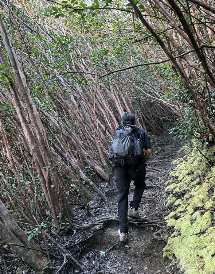
Hiking through the corridor of leaning trees.
Laie Trail
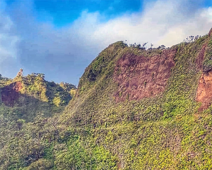
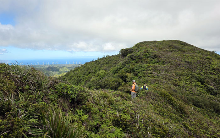
Making our way alongside the cliff with steep drops to our right.
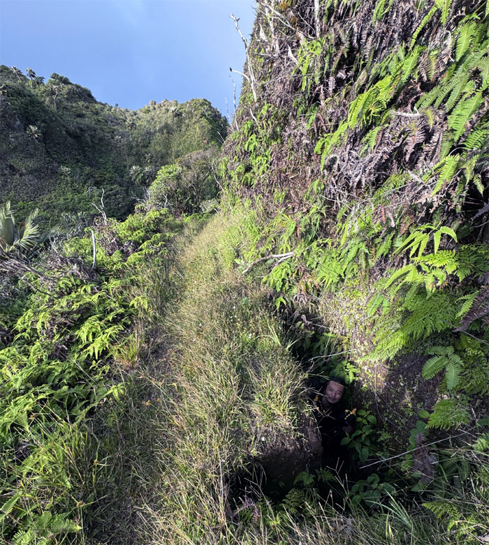
Laie Trail
One of three trenches dug by the US Army as they feared the Japanese would invade Oahu during WW2 and use the trail to traverse over the Ko’olau Range. The plan was to fill it with explosives and blow out the trail in the event of an invasion. Luckily that never transpired.
Laie Trail
We made it to the base of the summit in a little over two hours. The easy part was over.
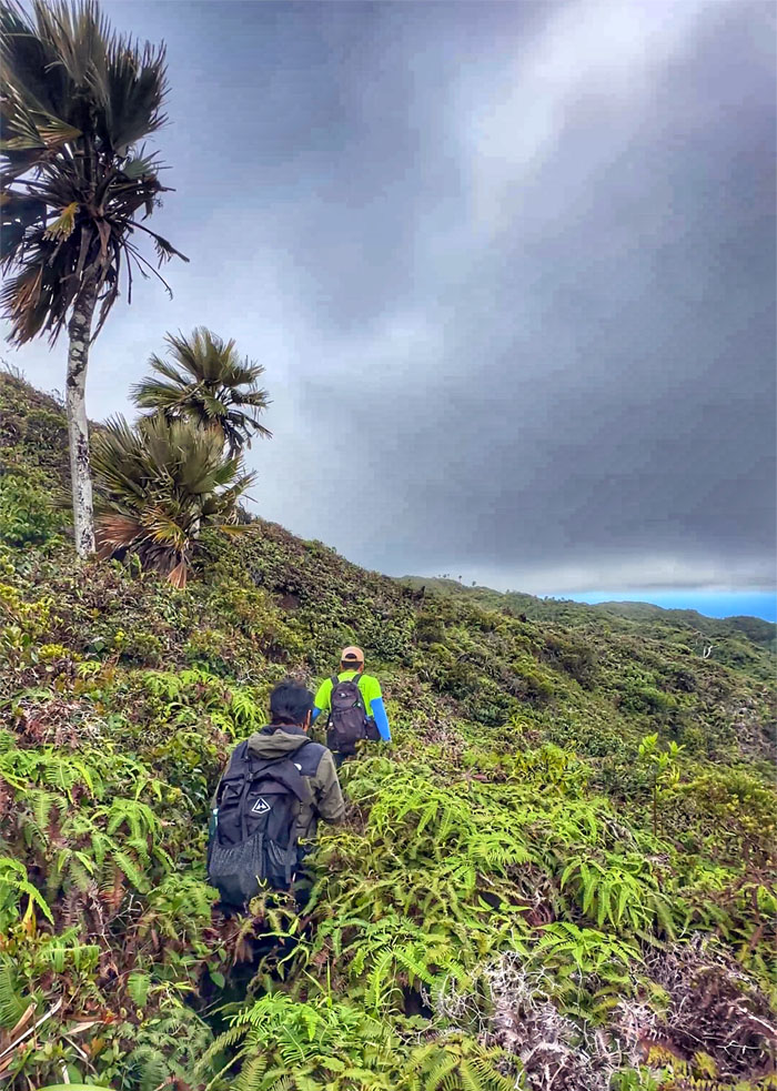
Ko’olau Summit Trail (KST)
Stepping foot on the storied trail that was created by the Civilian Conservation Corps in the 1930s for the purpose of reforestation and pig control and to provide employment for young men thrown out of work by the Great Depression.
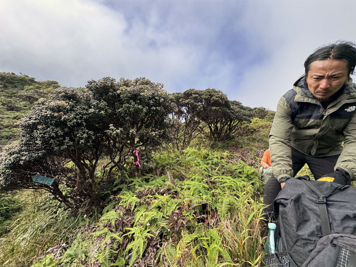
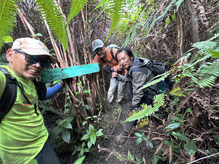
Malaekahana Junction
The green wooden sign is long gone, replaced by a hiking glove donated by CB.
KST
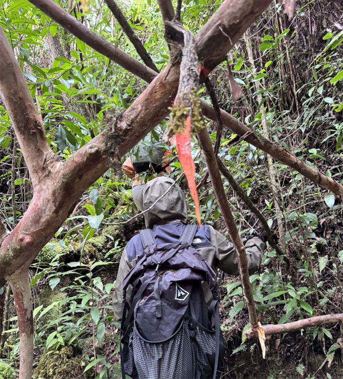
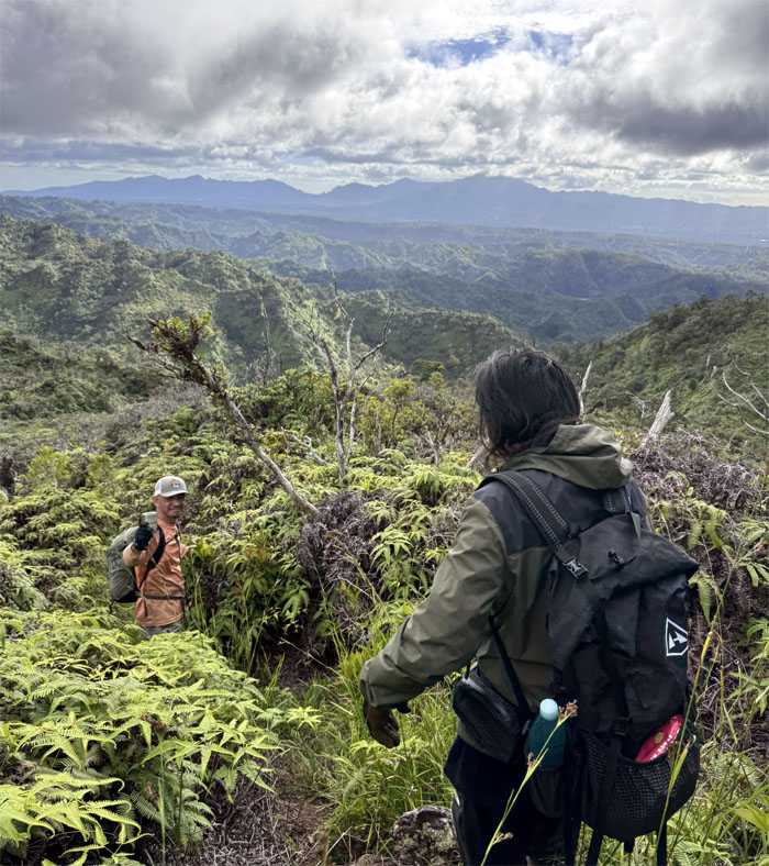
Traversing through the twisted topography of the trail as it winds and contours through the mountains.
KST
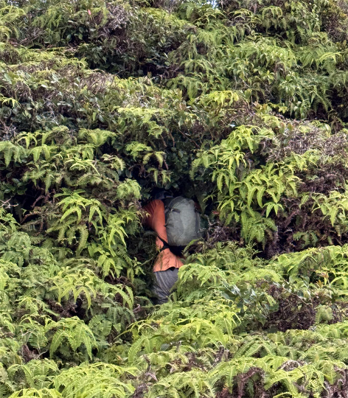
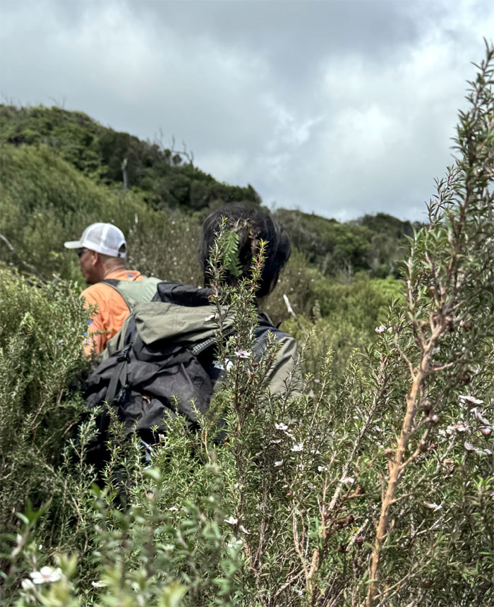
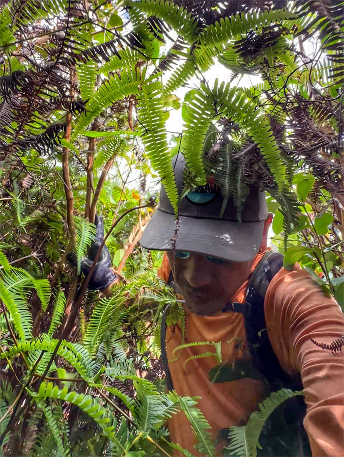
Swallowed by the Uluhe ferns, a common theme for the day.
KST
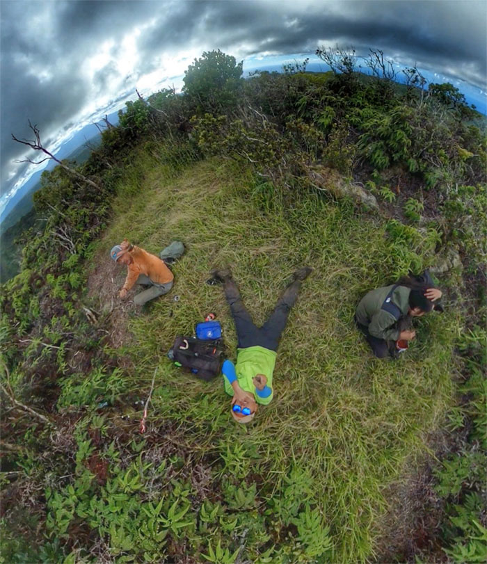
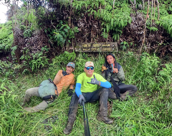
Group photo at what I like to call the halfway point, true or not. Time for lunch.

KST
There is a trail in all that mess.
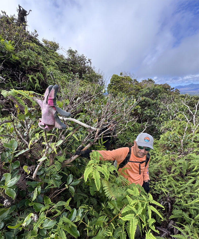
KST
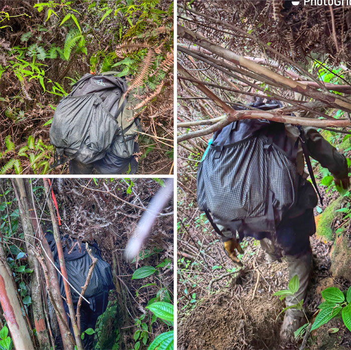
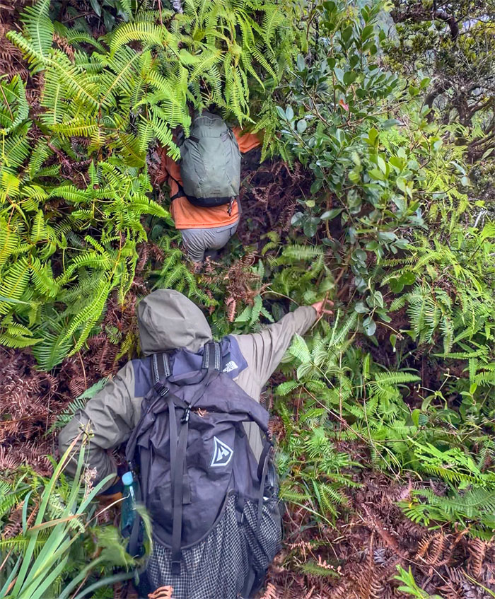
Dealing with a tangled mess of uluhe ferns, clidemia shrubs, vines, and strawberry guava trees that served to pull, strangle, poke and generally make life miserable for us on the trail.
KST
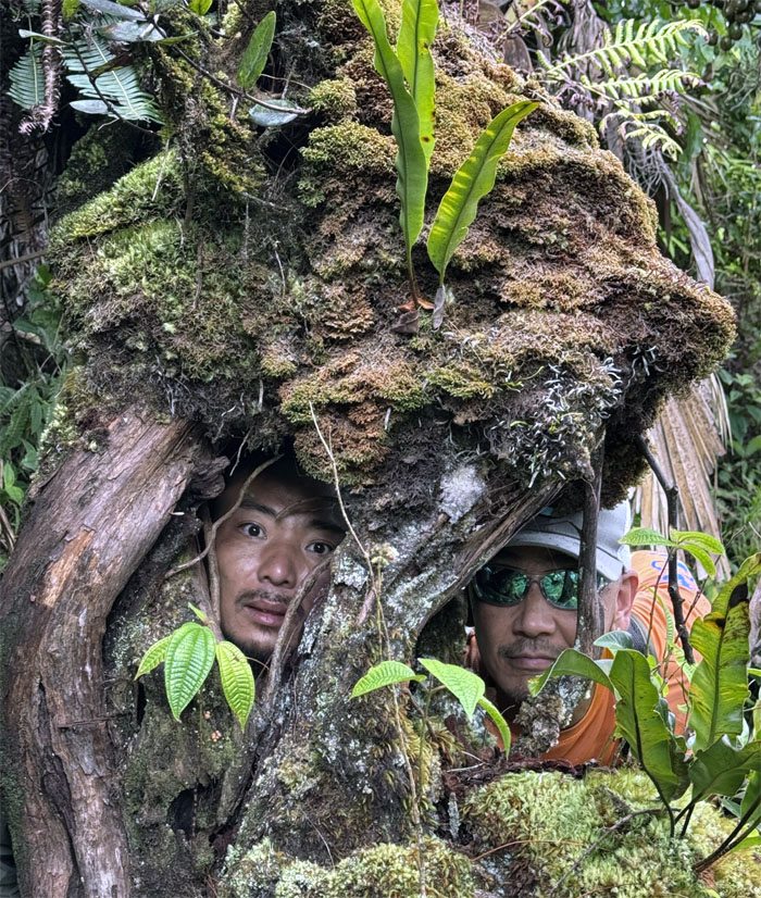
Faces in the forest.
KST
Kenny said he liked this trail. Is he on drugs? Or is that a rhetorical question?
KST
Coming up for air literally from the overgrowth.
KST
Sit, scoot and push our way through the “trail.”
KST
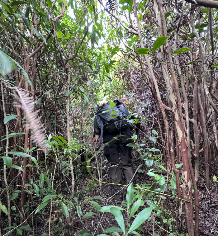
Back in the jungle.

KST
Crawling on our hands and knees through the uluhe tunnels. Knee pads optional.
KST
We lost the trail and got turned around for awhile before climbing out of the gulch. You still like this trail Kenny? No.
KST
Is this going to end?
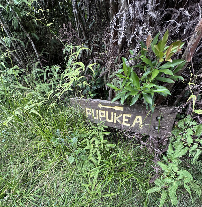
Puu Hina
Group photo at the summit of Pupukea. Exhausted and glad most of the trail overgrowth was behind us. Kenny gave himself a haircut to get rid of all tangled vines and uluhe stuck in his hair. Memories. Scarred memories.
KST
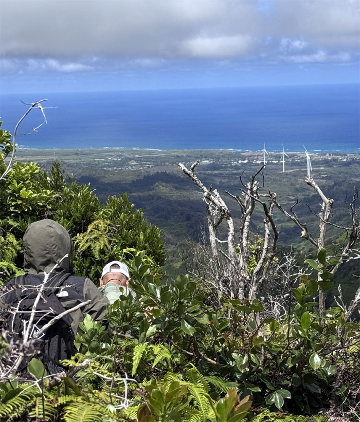
Leaving the summit with the Waianae Mountain Range in our face and Akira had his insulated cup of a hot beverage to drink on the way down.
Black Junction
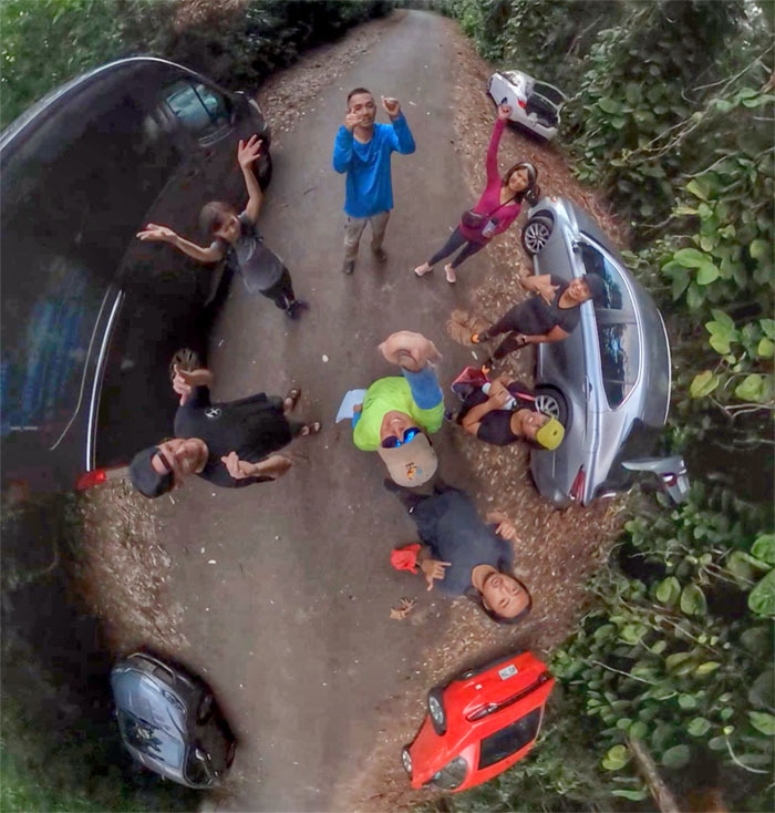
Group photo at the start or finish of the KST.
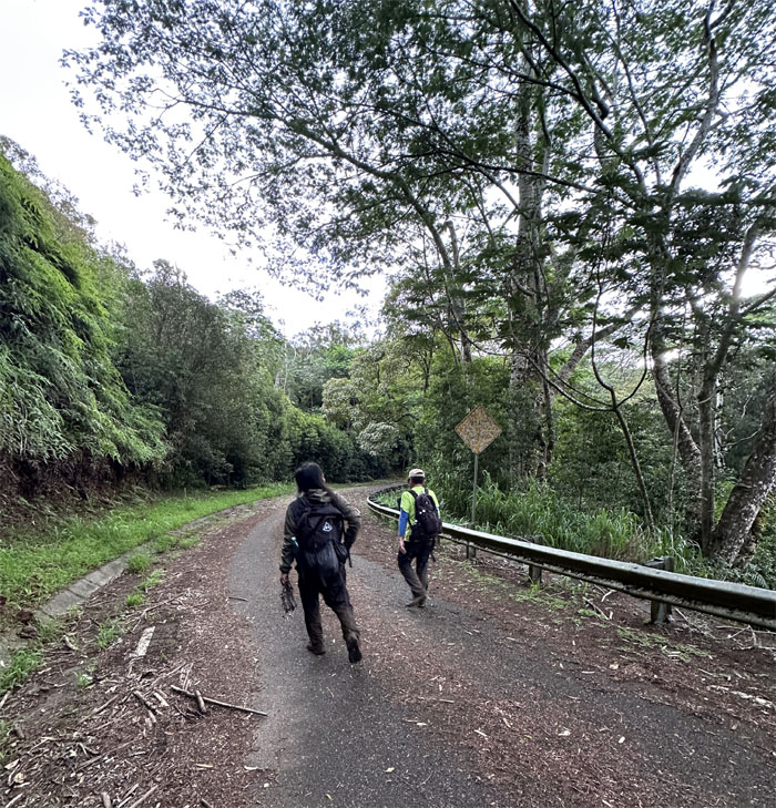
Paalaa Uka Pupukea Road
Where the trail meets the road.
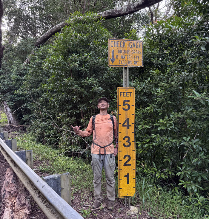
Paalaa Uka Pupukea Road
Height check.
Paalaa Uka Pupukea Road
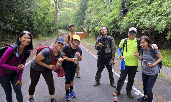
The welcoming committee of Aida, Mari, Marilyn and Tessa would have met us at the trailhead if they remembered where it was located. They did bring cold beverages and ice. Much appreciated!

Paalaa Uka Pupukea Road
It’s all downhill from here. Well not really.
Paalaa Uka Pupukea Road
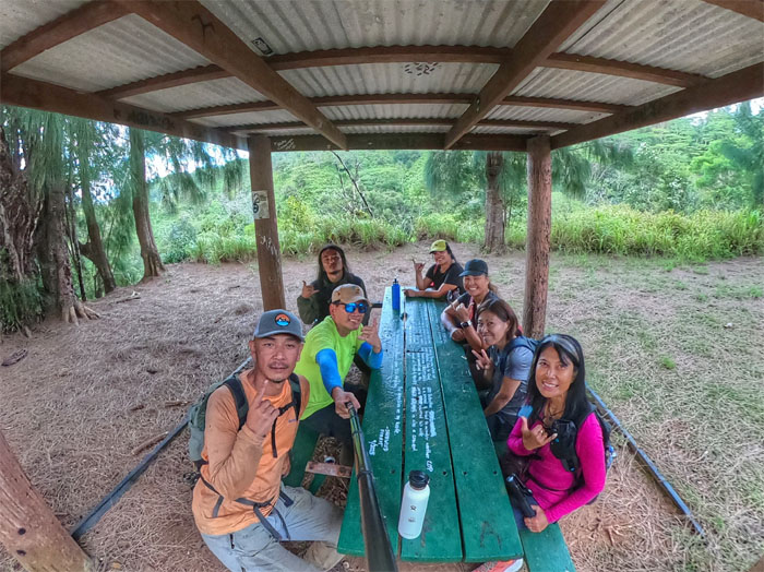
Group photo at the picnic shelter where there was ample conservative reading material to be had if so desired.
Paalaa Uka Pupukea Road
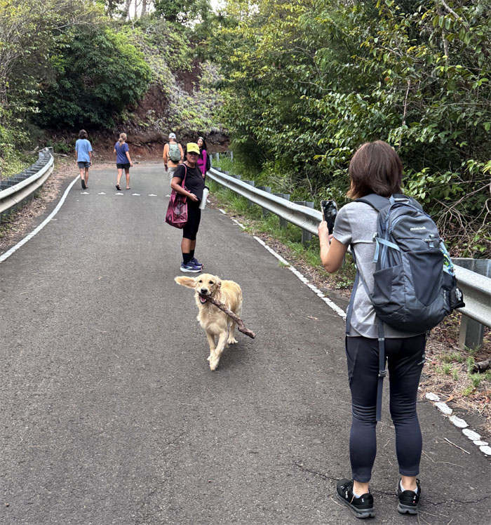
Fetch me a Coke! Not a stick!
Paalaa Uka Pupukea Road
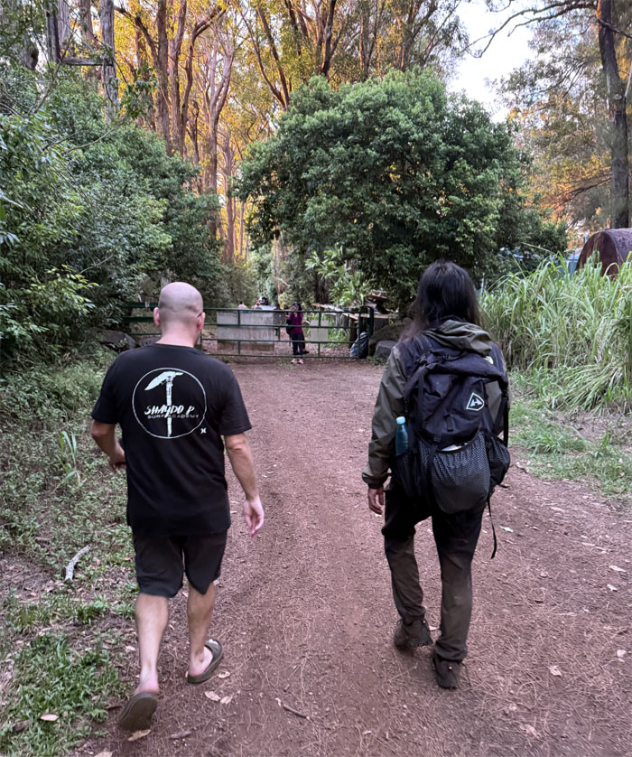
Jeremy showed up as well to walk us down the road.
All pau
Props to Kenny for finishing and Akira coming back for a second helping on a trail most consider one and done.
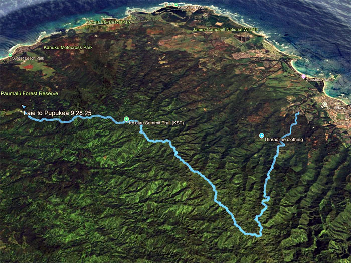
GPS Tracks
Our exhausting and grueling hike through the most overgrown section of the KST covered 12.47 miles. Post hike meal at the Pupukea Food Trucks. When proximity dictates your food choice.
Photos taken by Aida Gordon, Akira Suzuki, Jeremy Cannone, Kenny Lui, Mari Saito, Marilyn Bermudez, Tessa Bugay and yours truly. Not necessarily in order.
Note: I have been made aware that some hikers have been using my blog as a hiking guide and getting lost on the trails. Please note that this blog was made to document the hike for the crew(s) that did it. That is why some of my comments will seem to have no relevance or meaning to anybody outside of the crew(s) that hiked that trail. My blog was never meant as a hiking guide, so please do not treat it as such. If you find inspiration and entertainment from these hikes, that is more than enough. If you plan on replicating these hikes, do so in the knowledge that you should do your own research accordingly as trail conditions, access, legalities and so forth are constantly in flux. What was current today is most likely yesterdays news. Please be prepared to accept any risks and responsibilities on your own as you should know your own limitations, experience and abilities before you even set foot on a trail, as even the “simplest” or “easiest” of trails can present potential pitfalls for even the most “experienced” hikers. One should also always let somebody know of your hiking plans in case something doesn’t go as planned, better safe than sorry.
{ 2 comments… read them below or add one }
Hahaha, can’t even remember the trail, it’s here, it’s more up, or did we passed it LOL
Aloha Tessa,
Getting to be like Charlie. lol.
Mahalo