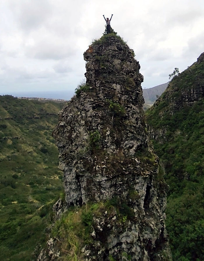
We all met up to do a hike that fell short of its intended goal due to multiple distractions.
Thanks to Jimell and Lilia who dropped us off after some last minute adjustments due to somebody’s alarm clock not working.
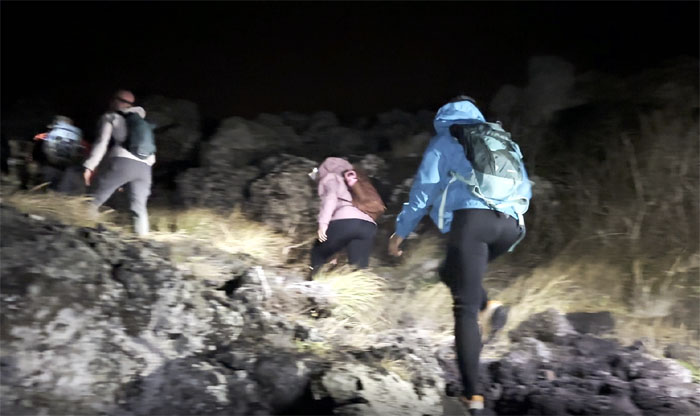
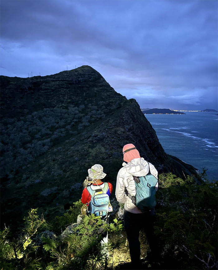
Hiking by artificial illumination.
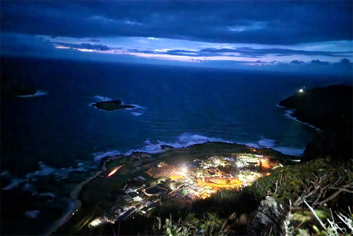
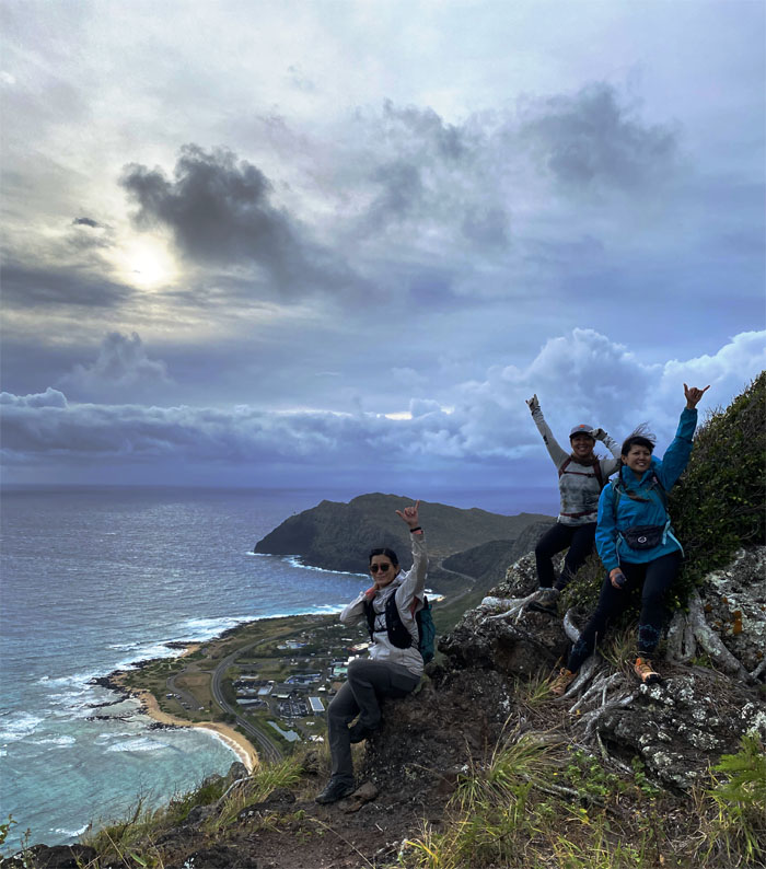
Looking down into the artificially illuminated marine mammal park.
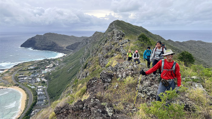
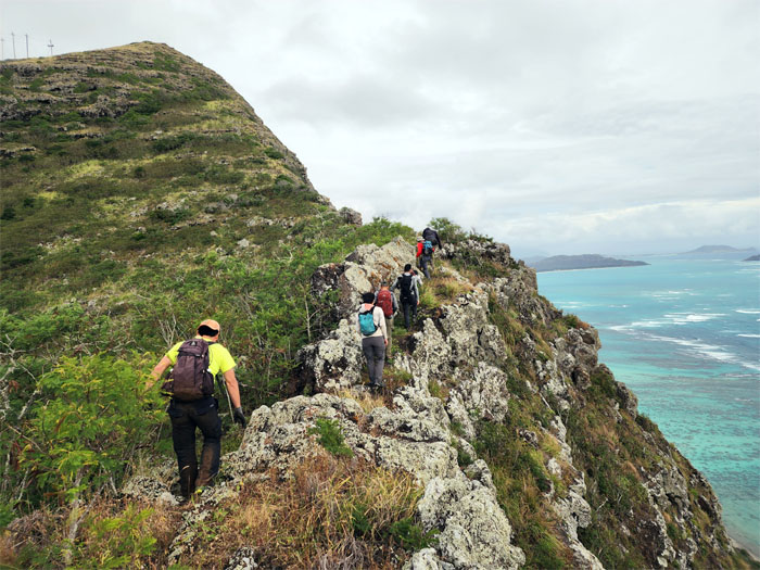
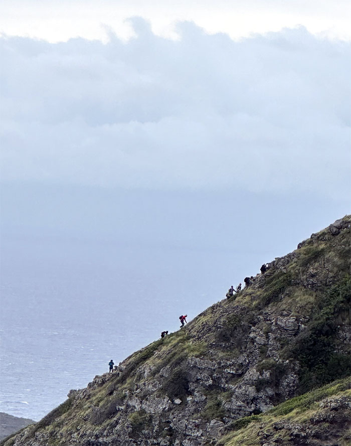
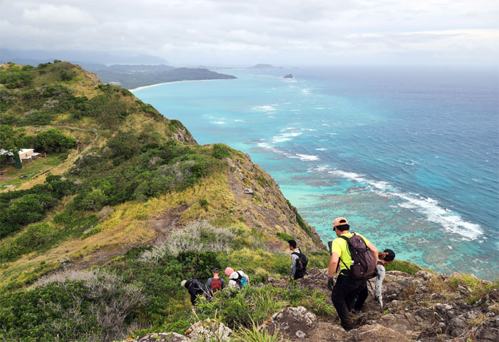
Following the path along the rocky cliffs.
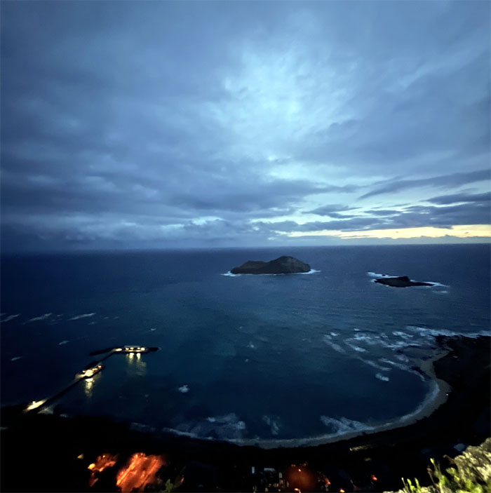
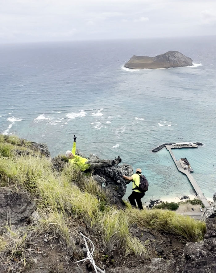
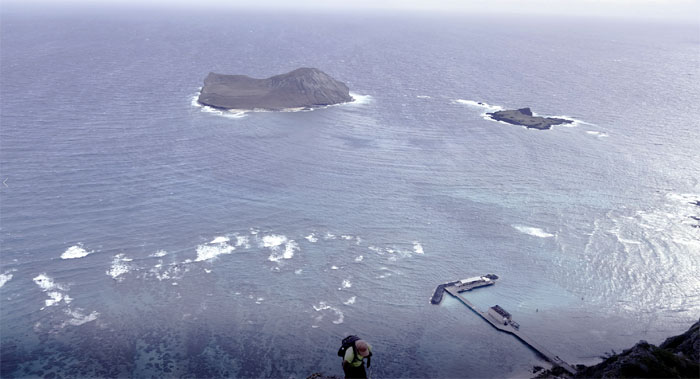
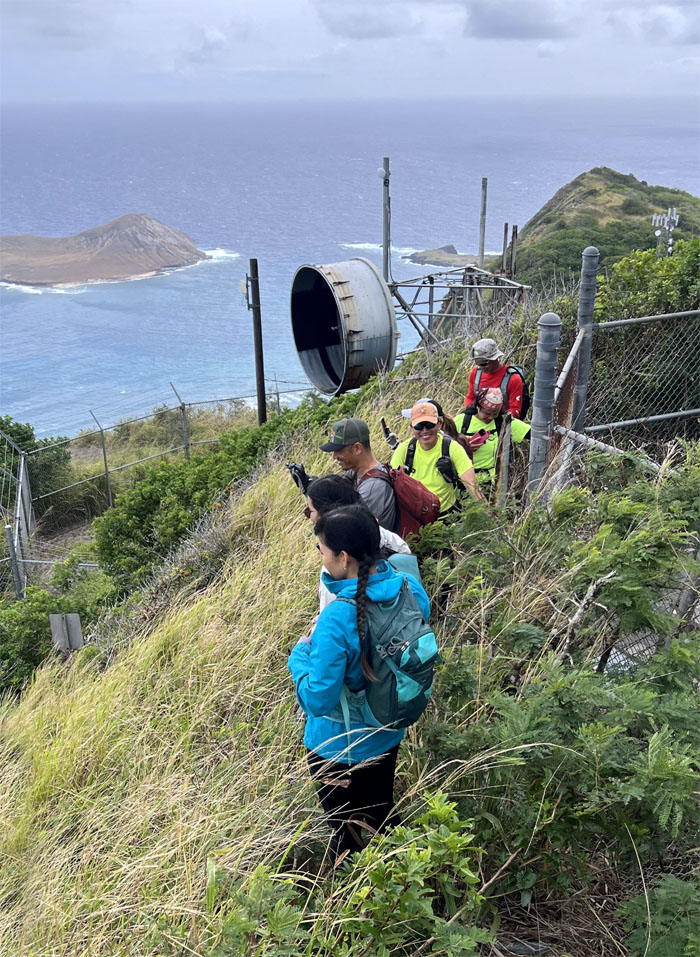
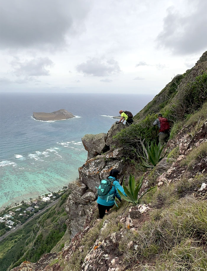
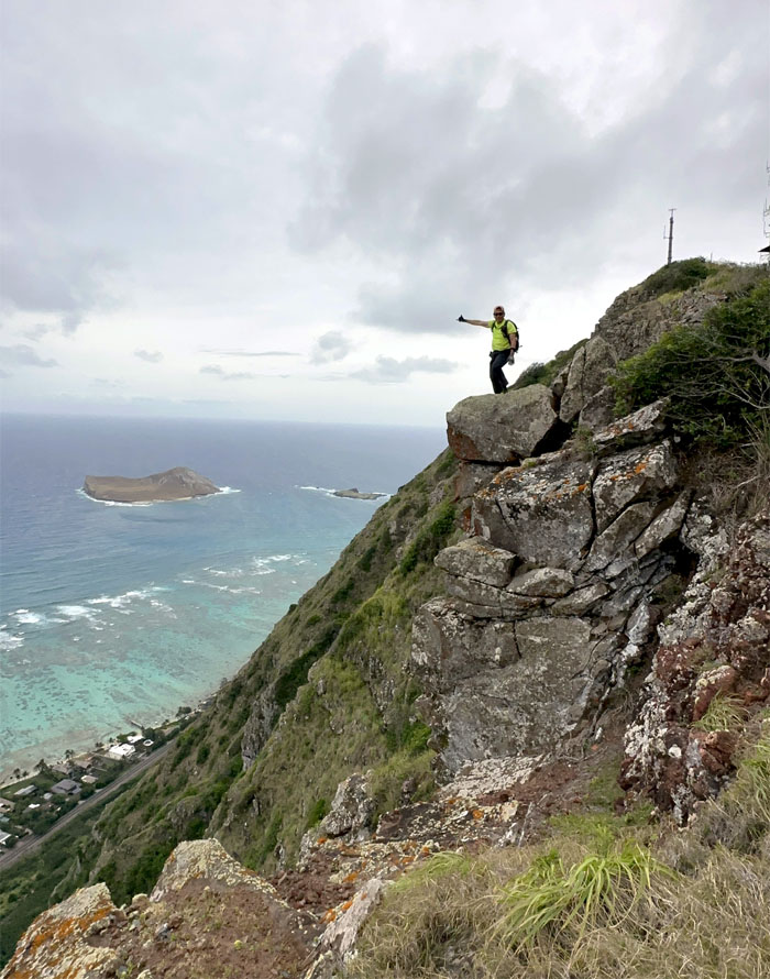
Looking out towards the two seabird sanctuary islands and Makai Pier.
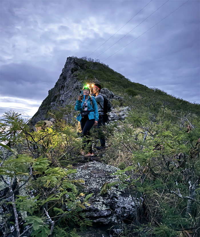
Okay, you can turn off your headlamps now.
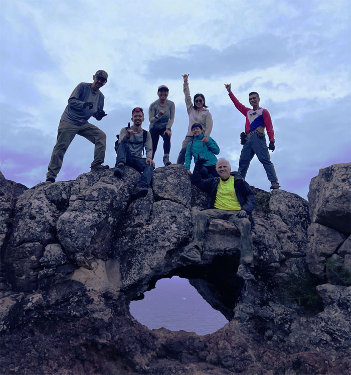
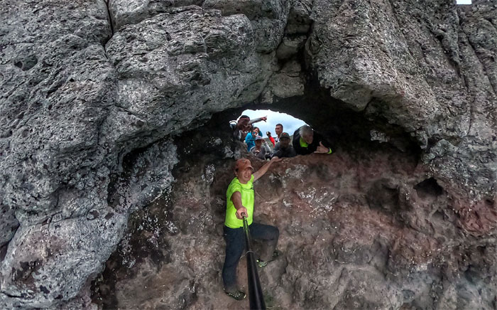
Outside the puka.
Inside the puka.
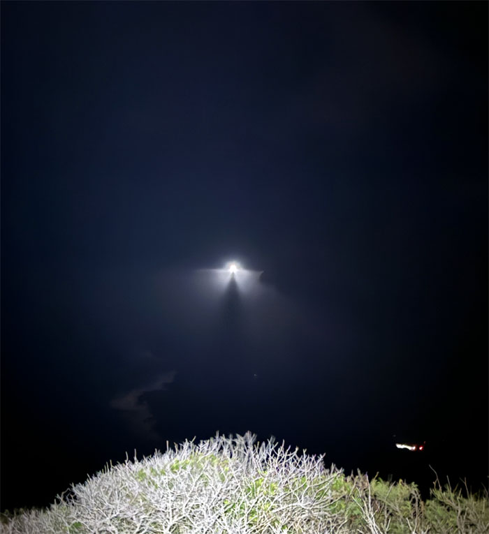
Rocket revolution. We finally left the gathering place after hearing the retired chopper pilot talk about his wartime stories on and off the battlefield. I only heard six times. I leave that to ones imagination.
It was another windy day in the mountains.
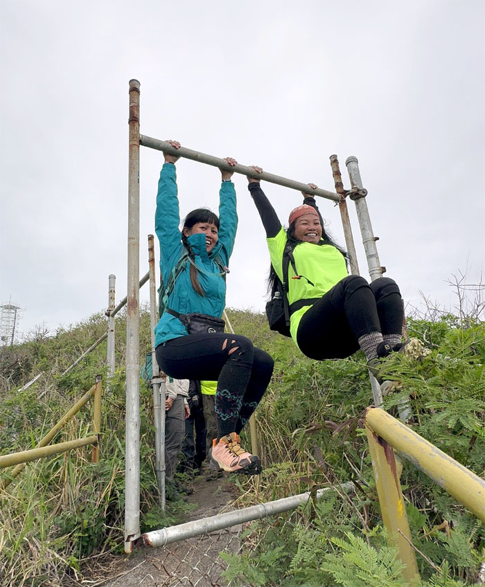
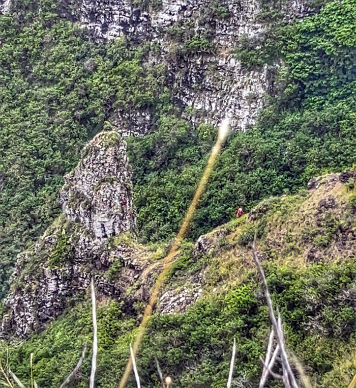
Can you see the hiker for the puka?
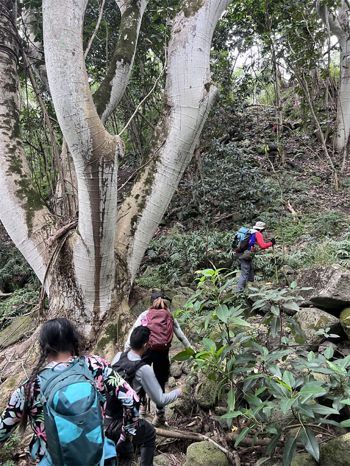
The girls posing by the ladybug tree.
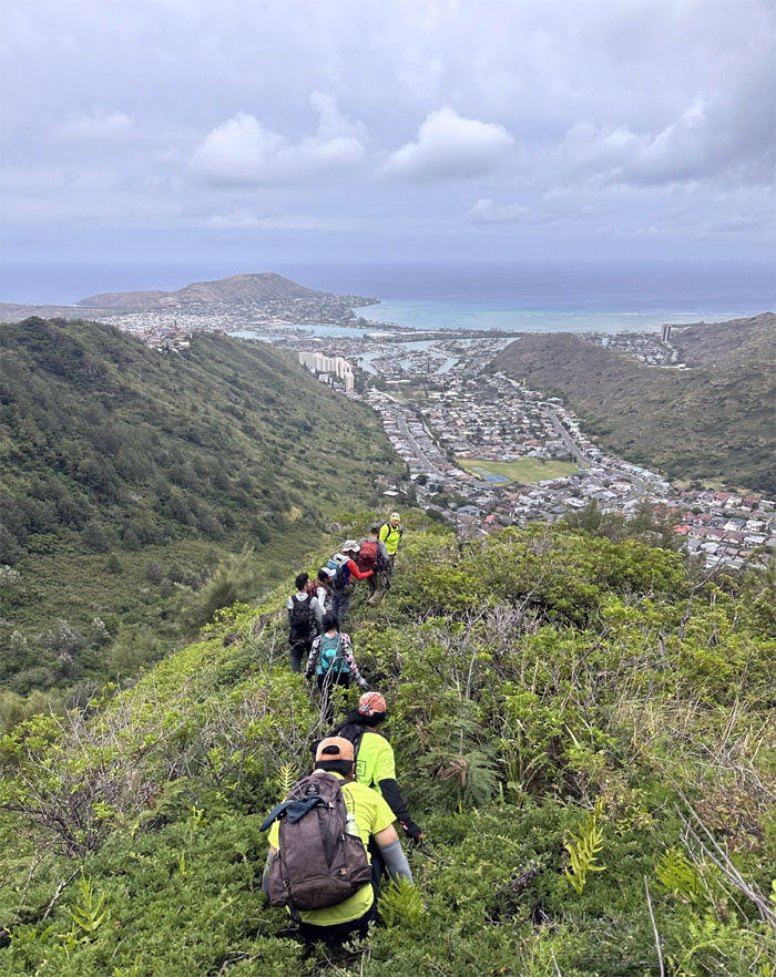
Looking ahead to another hill that had to be climbed.
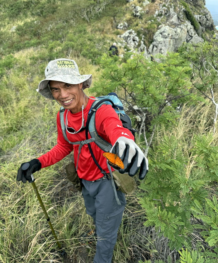
The butterfly whisperer. Ferlino didn’t whisper enough as it was a common passion butterfly. I have yet to see a endemic Kamehameha butterfly in the wild.
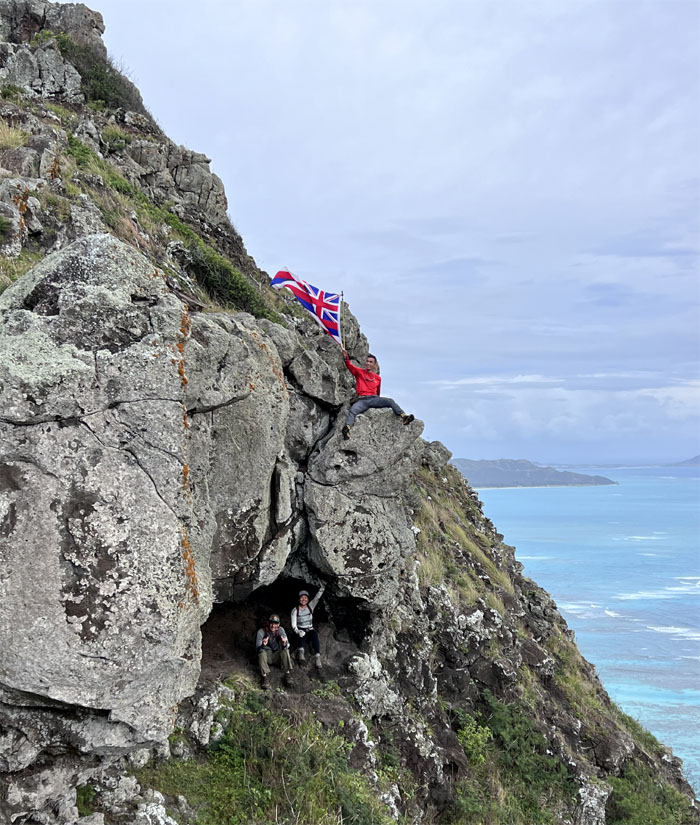
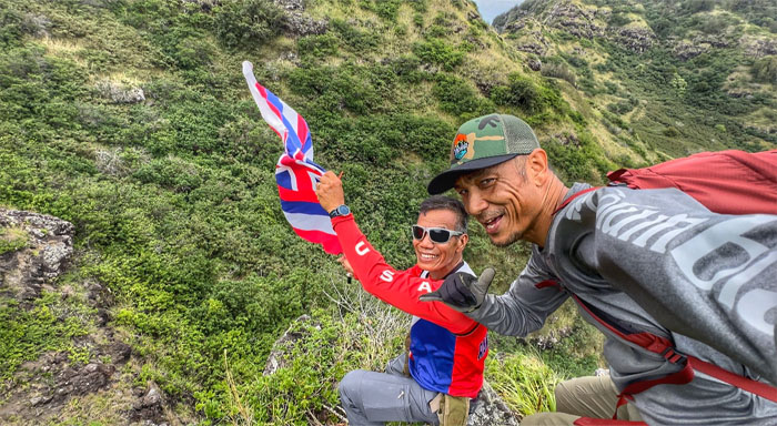
Akira and Mona checking out the cave as Ferlino flies the Hawaiian flag above them. The history of the flags origins goes back to when Britain and America both had vested interests in the islands so the flag has elements of the Union Jack and the stripes represents the eight major islands of Hawaii and Old Glory.
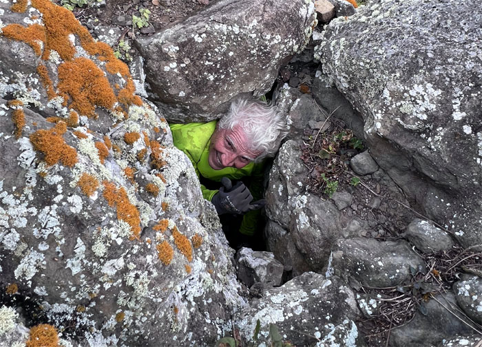
Somebody stuck their head where the sun does shine.
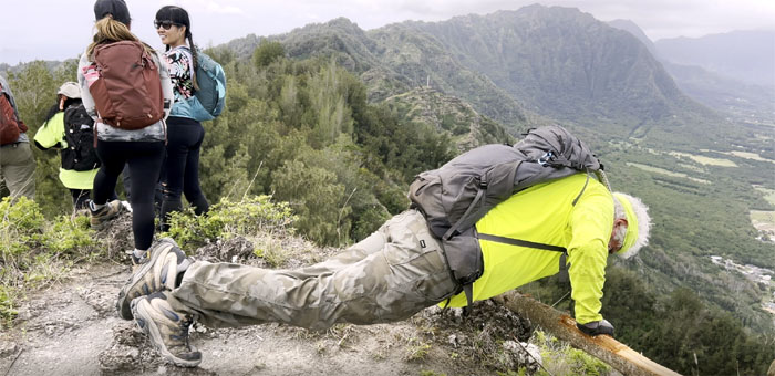
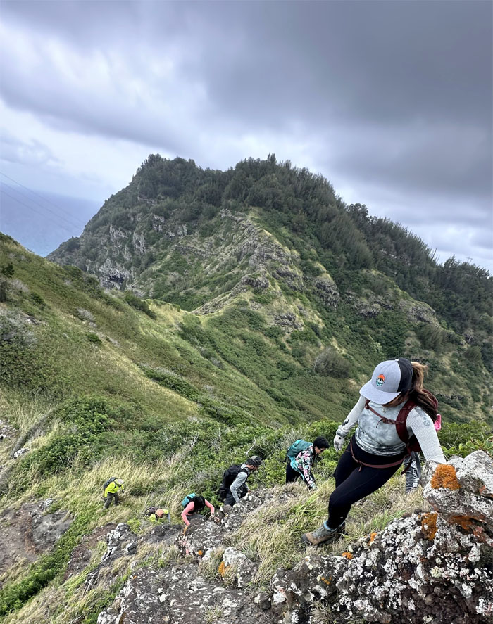
Cardio climb up the last big hill.
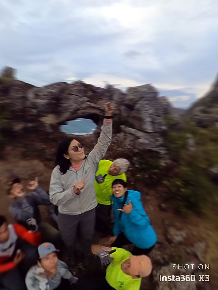
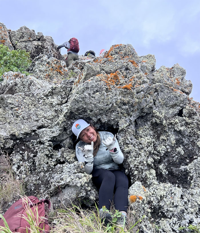
Mona stuck herself in a hole that she could get out of.
Somebody was tracking us. Somebody that was bright yellow and very loud.
Can Camper and Winner come out to play?
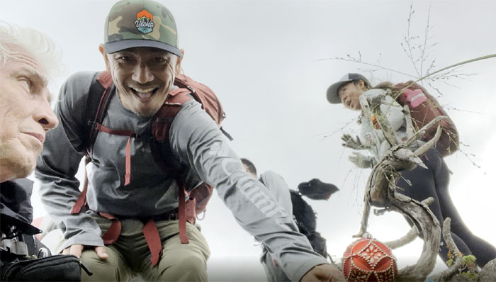
Somewhere in the mountains, it’s always Christmas. Just the singing is off-key. We soon met up with Tessa who had gotten off the night shift to join us.
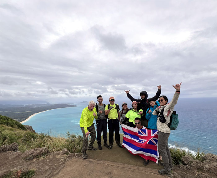
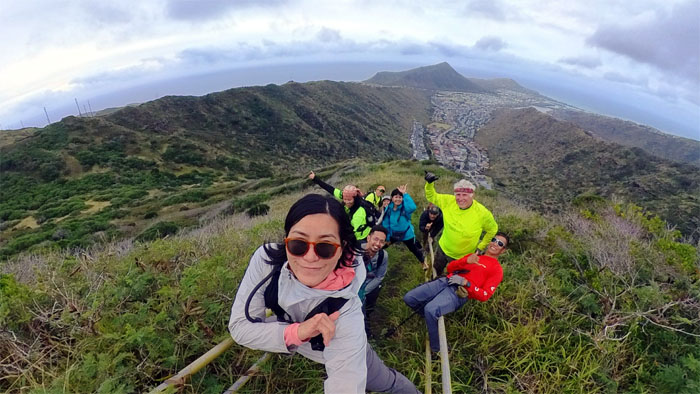
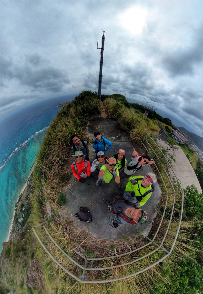
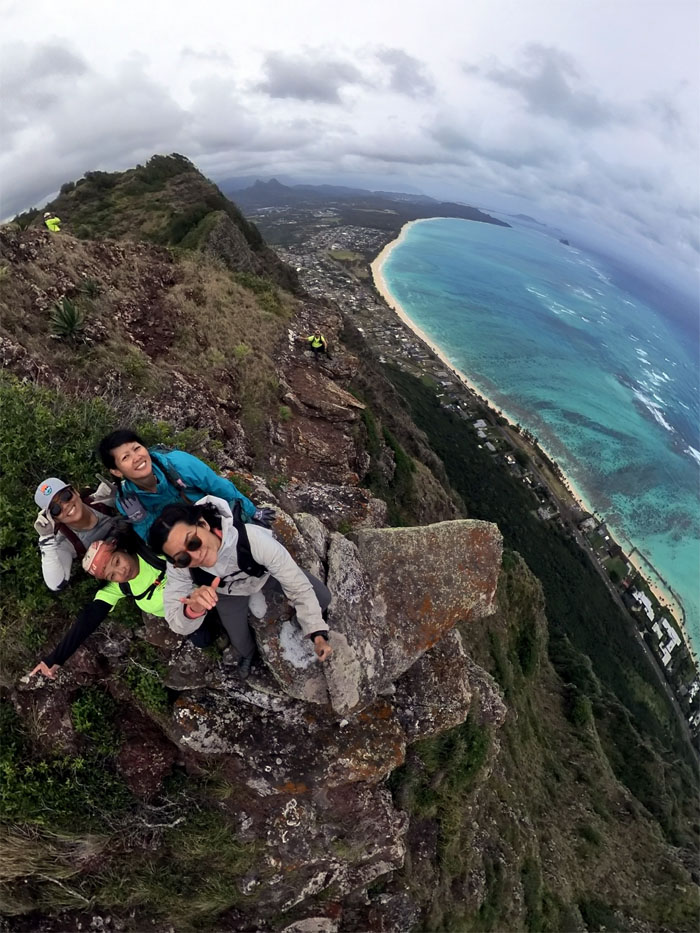
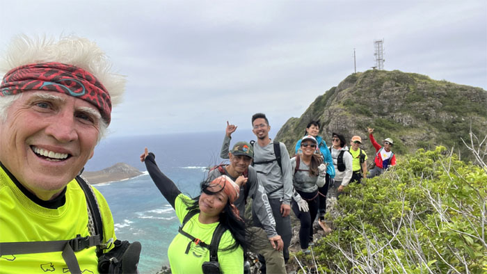
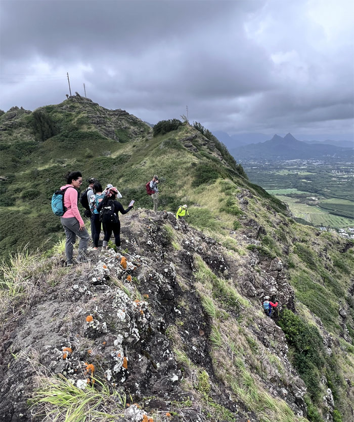
Group photo on what many people have now been erroneously calling Dead Man’s Catwalk. I guess it’s the new Dead Man’s Catwalk.
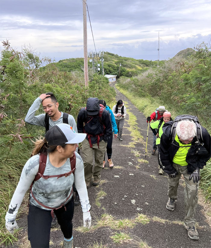
Walking up the road that used to be home to radar towers that once controlled the Nike missile battery known as OA-32 that was located at Bellows Air Field during 1961-1970.
Aileen and Tessa hanging out.
Group photo on the stairs that lead to nowhere and whose original purpose is still a mystery to some of us.
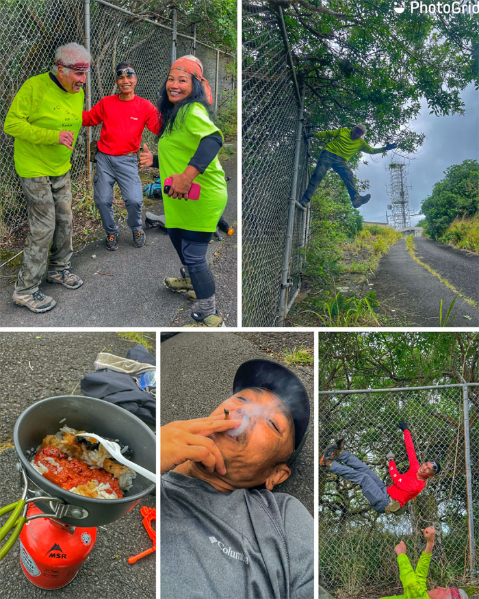
Our “social media” hike clocked in under four hours and covered only 2.15 miles at this point. We decided to drop to the road and take an impromptu meal break where fence climbing, medicinal smoking and dancing were ongoing as the hiking mojo slowly evaporated.
Standing at the site of the original lookout that was demolished due to it being an attractive nuisance and to make way for telecommunication progress.
Group photo at the scenic lookout.
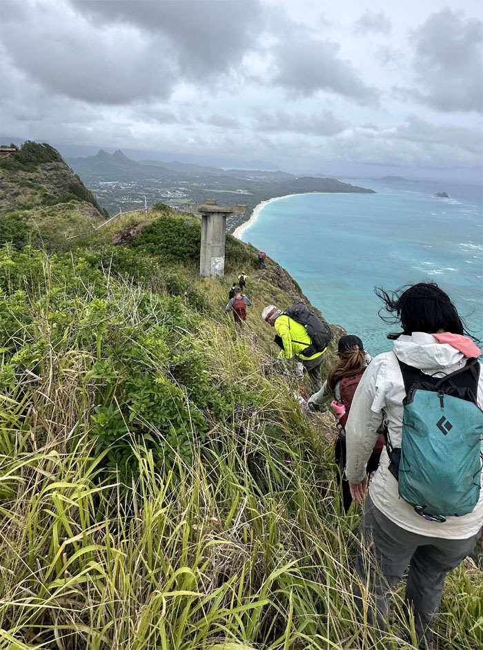
Picking our way on the trail as we passed one of the former radar towers.
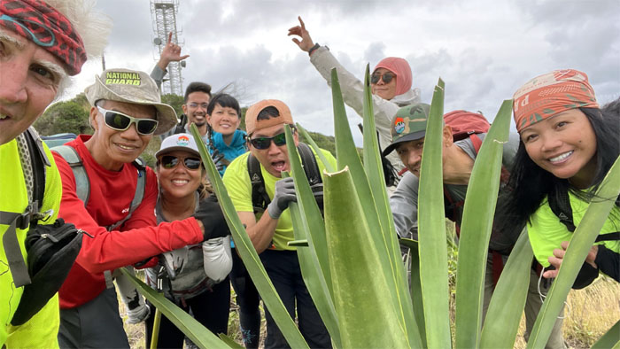
Group photo by an agave plant whose roots, sap and juice are used to make medicine that can be taken orally for flatulence among other things. Did somebody say flatulence?
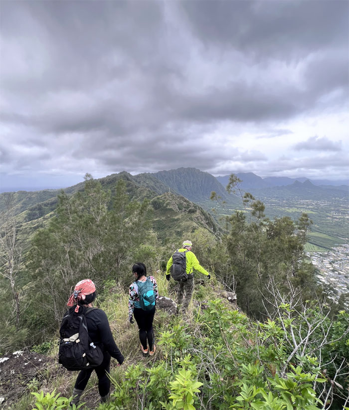
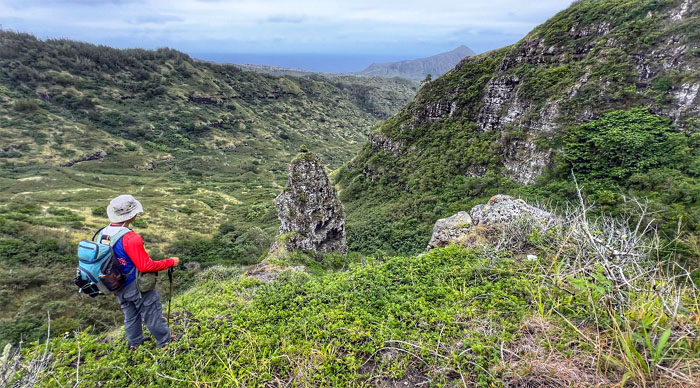
Dropping into the saddle.
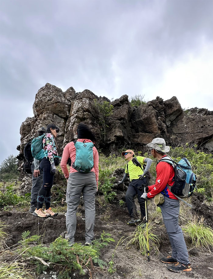
Going off the trail to explore a seemingly precariously balanced rock on the side of the mountain.
Trying to find the center of gravity.
Val making good use of her recently purchased Insta360.
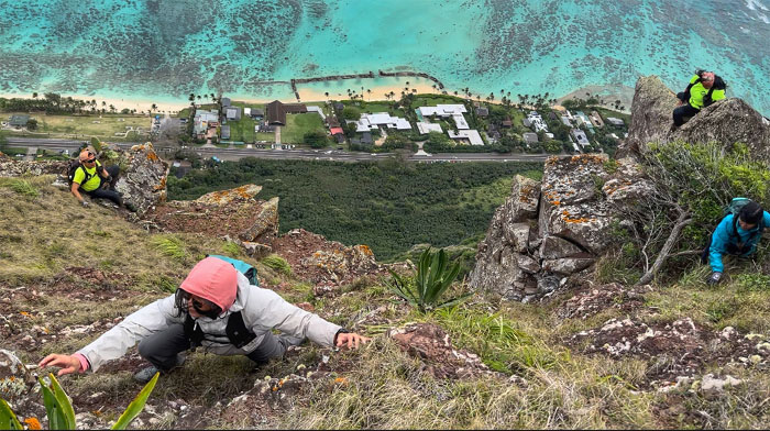
The girls making their way back on the tricky contour.
Back to hiking. Isn’t that what we came out for today?
Group photo at the lowest area between the two peaks.
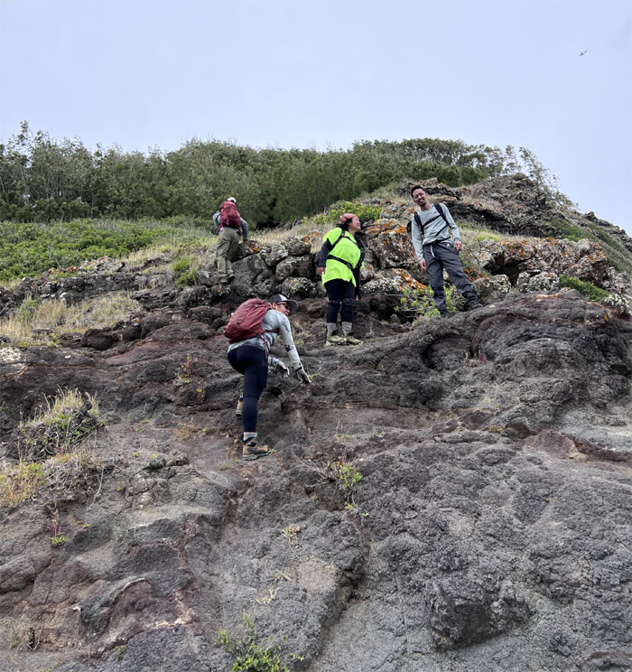
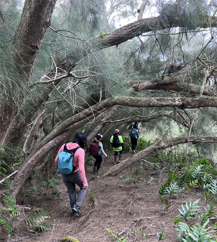
Climbing our way towards the stand of pine trees above us.
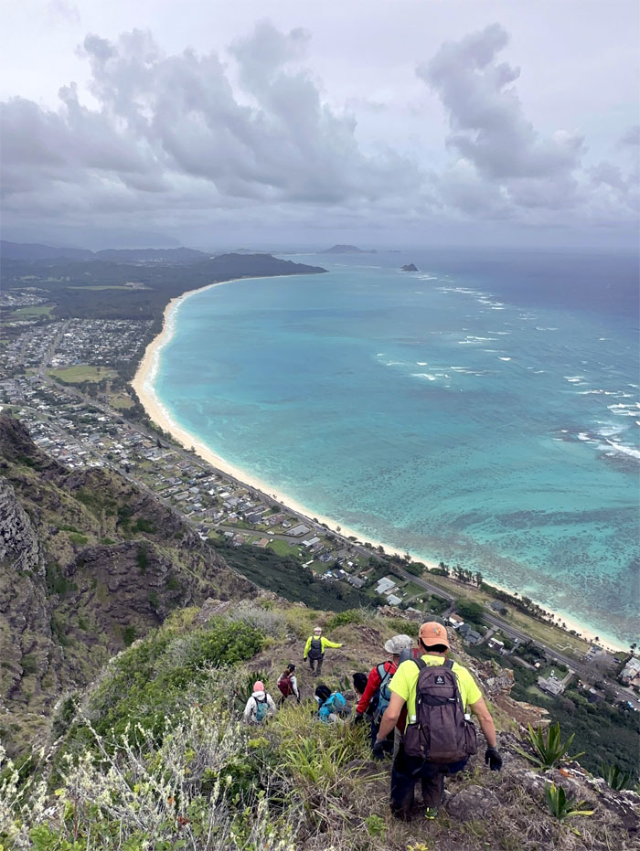
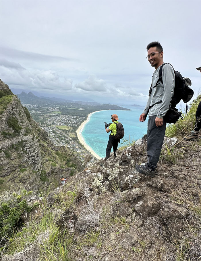
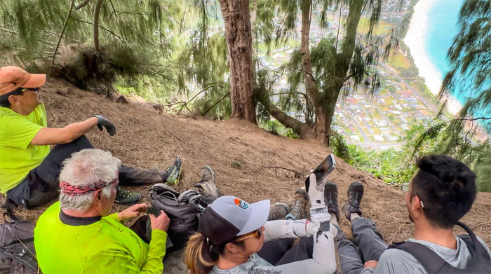
Lunch spot with a view of the Waimanalo coastline.
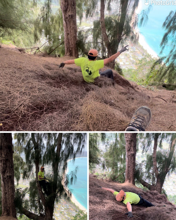
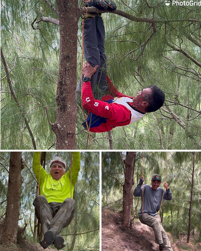
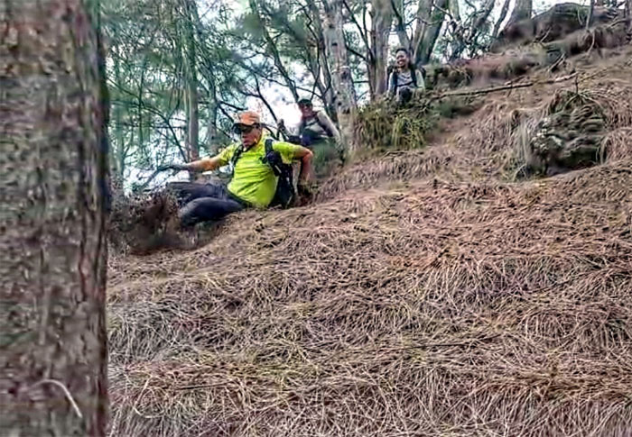
Some of us played in the pine needles …
… while others played in the trees.
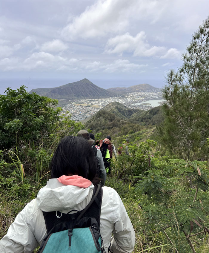
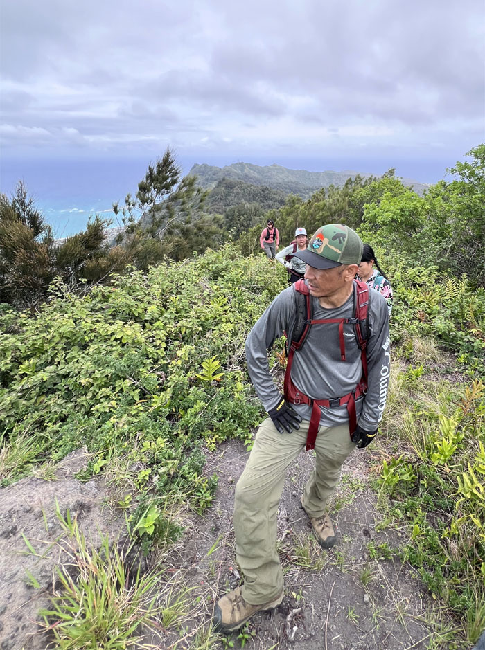
Stretching our legs after another long pause as we resumed our hiking with urbanized views of Kamiloiki Valley.
Reason #34 we are not making it to Wiliwilinui today.
We were just passing through, with fleeting awesome Windward views.
Jumping from one grove of pine trees to another small group of pine trees.
Just missing the cardboard box.
That’s not the way.
This is the way.
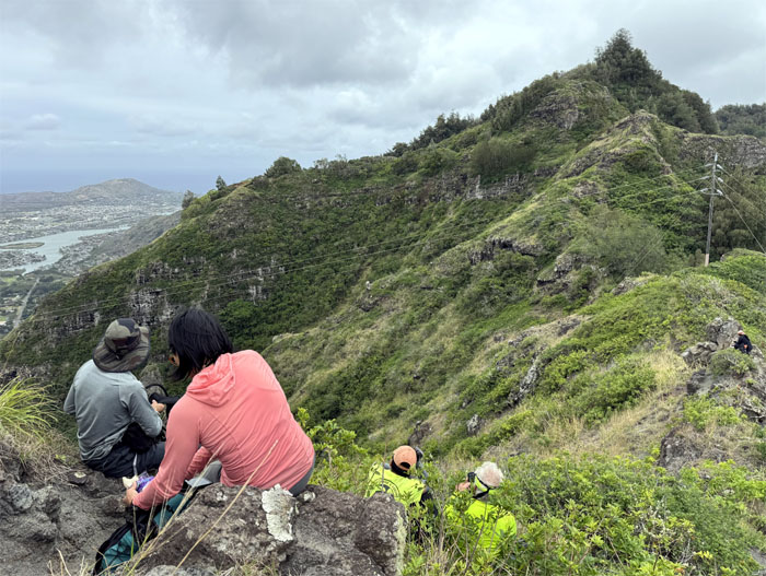
Climbing our way to the ridge line summit that are home to a series of power line towers that range all the way to Ka’au Crater and are part of the southern corridor.
Some of us got comfortable and took a break while Aileen, Akira and Ferlino decided to go climb a rock.
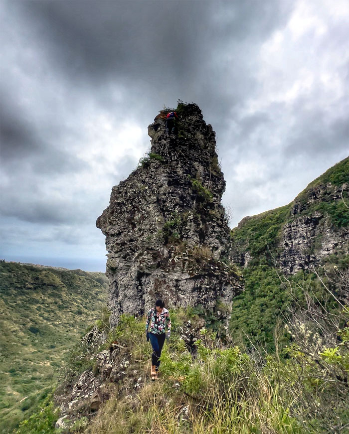
The trio going down the spur ridge to climb what is commonly called Dorito’s or Bells Tower.
Ferlino watching Akira start his climb up the tower.
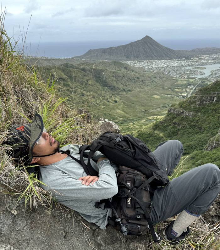
Somebody got a little too comfortable in the mountains.
Hard to tell from the angle, but Akira and Ferlino took a selfie from the top.
Aileen and Ferlino making their way off the inverted cup shaped rock.
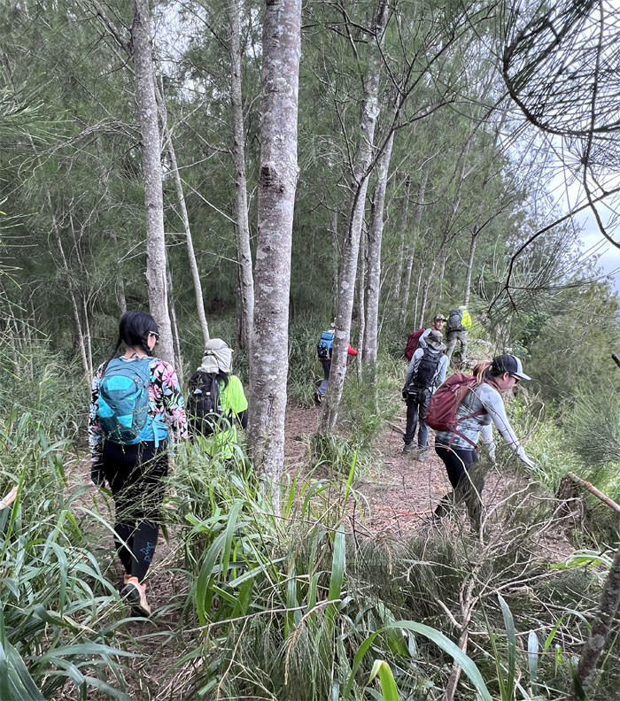
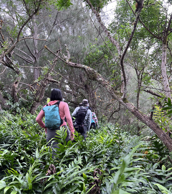
Making our way out of the rocky and exposed area as we headed into the forest.
Brushing against the relatively feathery soft laua’e ferns.
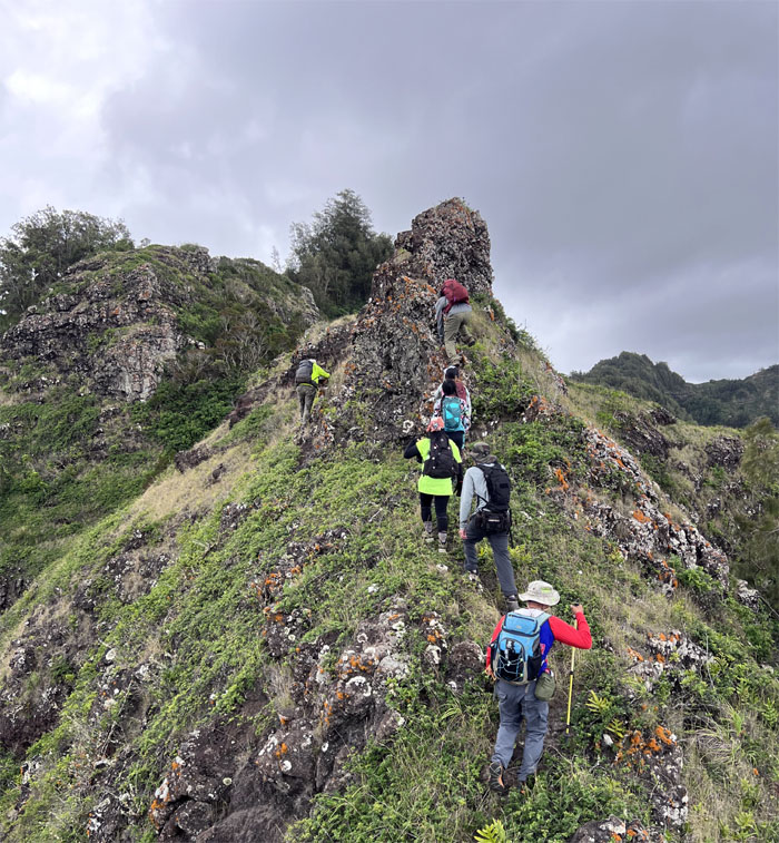
Climbing our way to the last summit of the day.
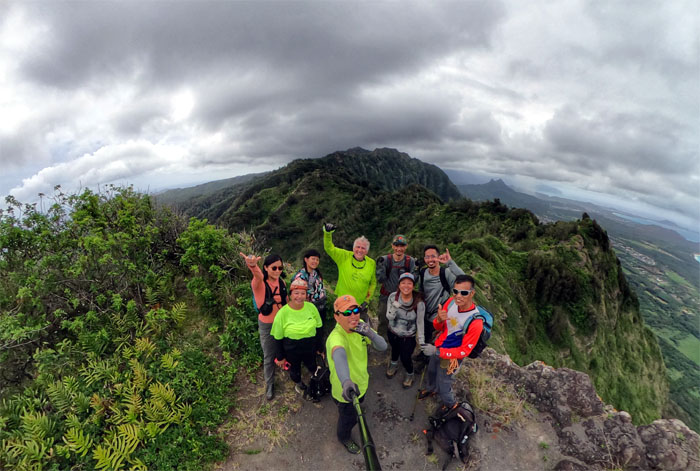
Group photo at the 1,640′ peak more commonly known as Mariner’s Ridge Summit.
Making our way down the trail that Kamehameha Schools shut down years ago on December 6, 2013 due to the neighbors complaining about excessive foot traffic in the area.
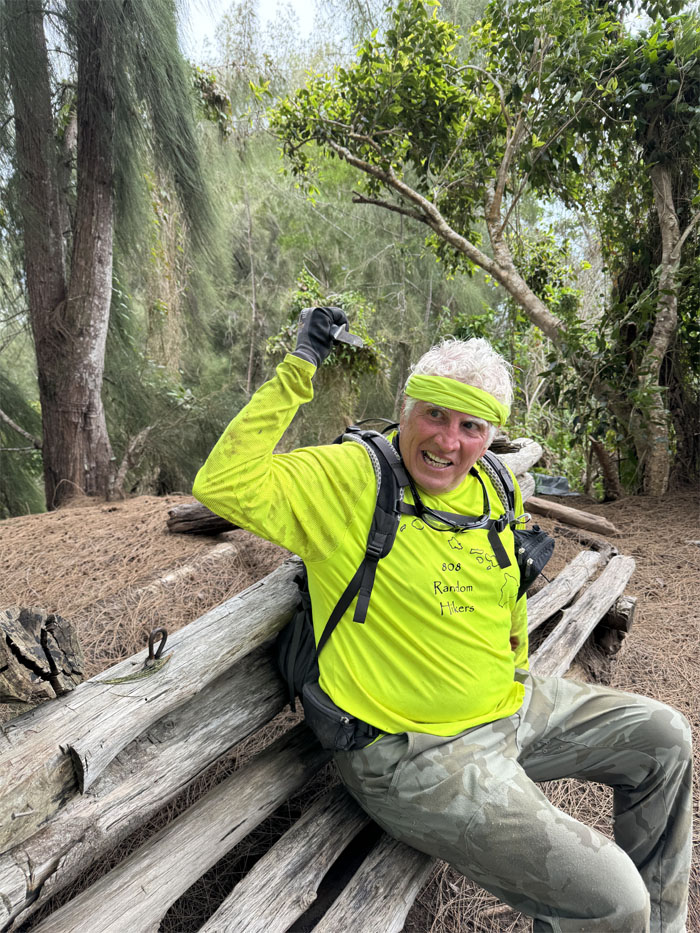
Never argue with a man that has a knife and that hasn’t taken his medicine.
Going off the established trail and onto the trail also used as a loop for Hahaione Pyramid.
Crossing the dry streambed as we climbed out of the valley and walked down the road.
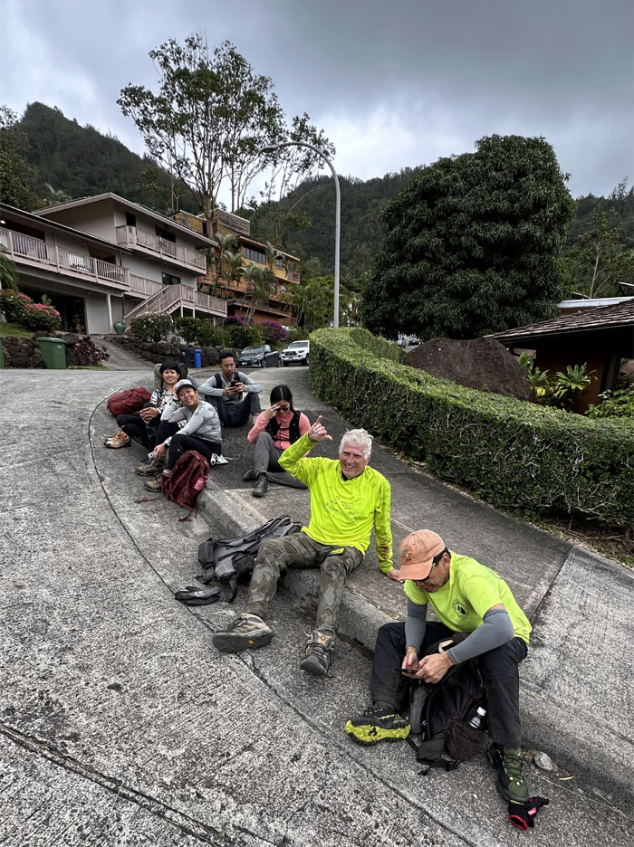
Waiting for Jasmin and Lilia to pick us up before the neighbors gave us more stink eyes.
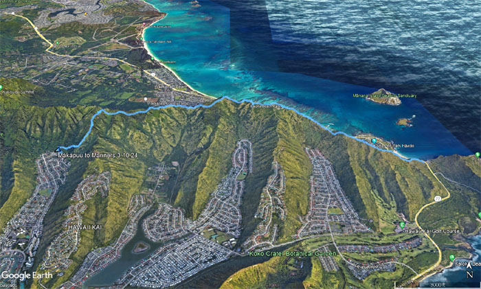
Our relaxing day in the mountains covered 5.52 miles with a fun group. Post hike meal at Liko’s Tap & Table where somebody got to celebrate their birthday again. On the house.
Photos taken by Aileen Agustin, Akira Suzuki, Chico Cantu, Ferlino Carinio, Kennard Capili, Monaliza Guillermo, Tessa Bugay, Val Wang, and yours truly. Not necessarily in order.
Note: I have been made aware that some hikers have been using my blog as a hiking guide and getting lost on the trails. Please note that this blog was made to document the hike for the crew(s) that did it. That is why some of my comments will seem to have no relevance or meaning to anybody outside of the crew(s) that hiked that trail. My blog was never meant as a hiking guide, so please do not treat it as such. If you find inspiration and entertainment from these hikes, that is more than enough. If you plan on replicating these hikes, do so in the knowledge that you should do your own research accordingly as trail conditions, access, legalities and so forth are constantly in flux. What was current today is most likely yesterdays news. Please be prepared to accept any risks and responsibilities on your own as you should know your own limitations, experience and abilities before you even set foot on a trail, as even the “simplest” or “easiest” of trails can present potential pitfalls for even the most “experienced” hikers. One should also always let somebody know of your hiking plans in case something doesn’t go as planned, better safe than sorry.

{ 0 comments… add one now }