
It was a reunion of sorts in the mountains as I haven’t hiked with Alexis in over seven years. Her personality hasn’t changed for good or bad.
Trailhead
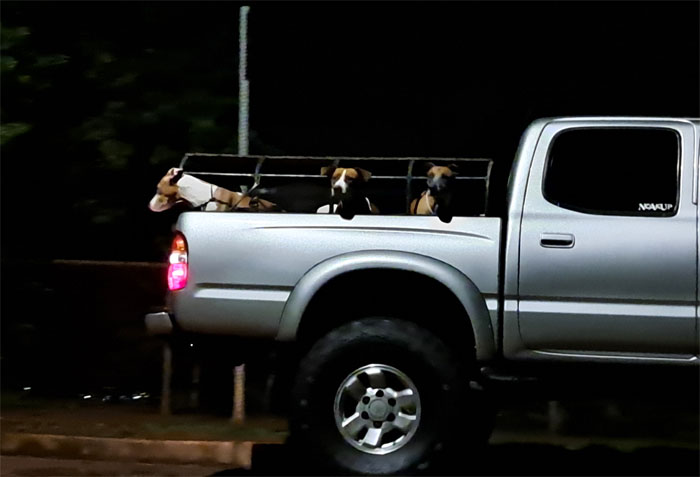
Who let the dogs out? The hunters. The age-old question has finally been answered, never mind the Baha Men.
Trailhead
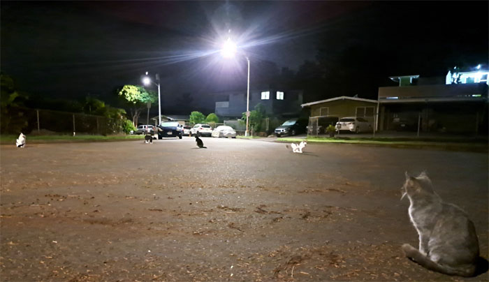
The cats let themselves out.
Trailhead
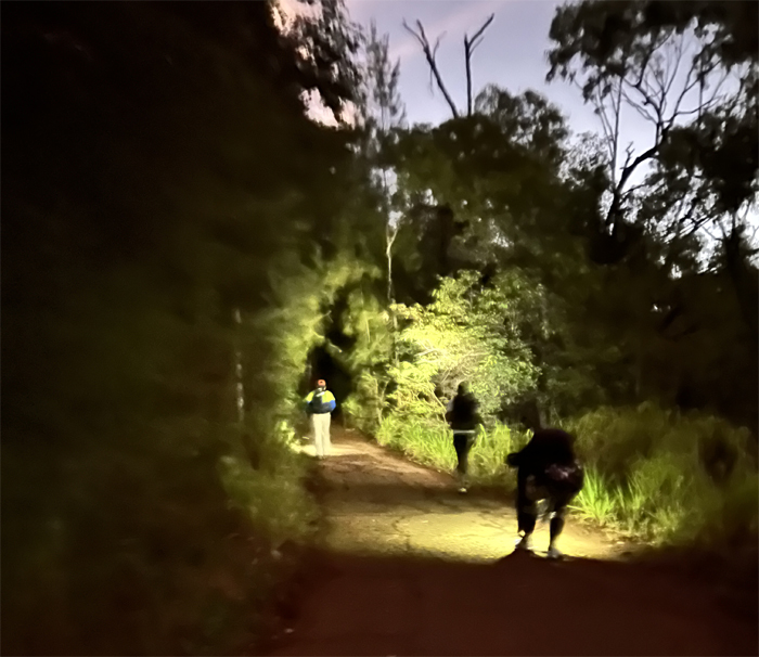
Somebody got confused about the meeting place. Not once. But twice. We finally all got onto the trail after one of us got hello checked by the resident homeless while using the bathroom.
Manana Trail
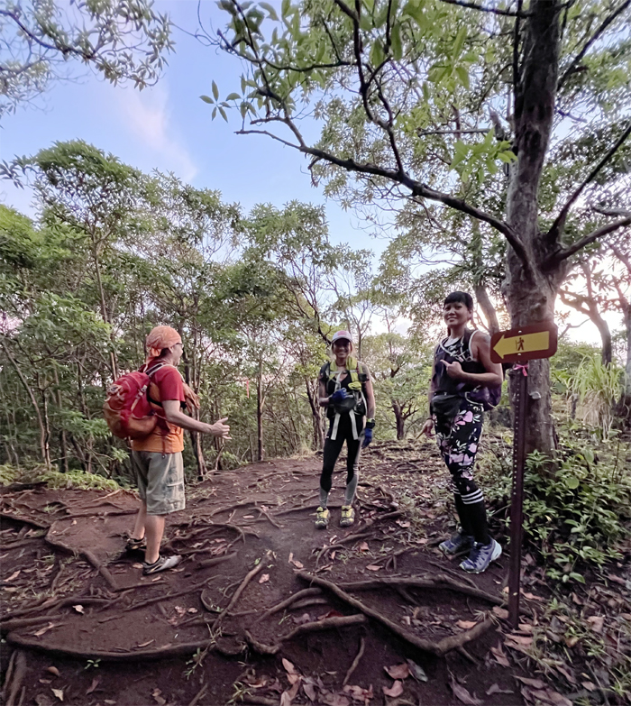
Let’s follow the hiking sign, shall we? And let’s try not to get spooked by the cloud of screaming parrots. Somebody please find them a zoo!
Manana Trail
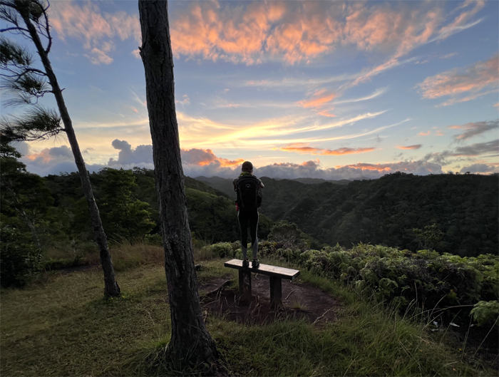
Standing on the bench to see the sunrise. Somebody wanted to sit down.
Manana Trail
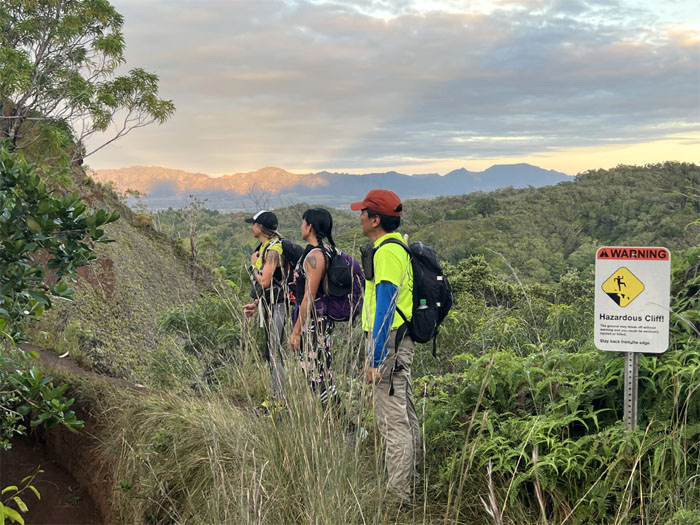
Waiting to offer Roseann assistance if needed coming over the narrow cliff. Or maybe just to laugh at her if she fell. I think more the latter.
Manana Trail
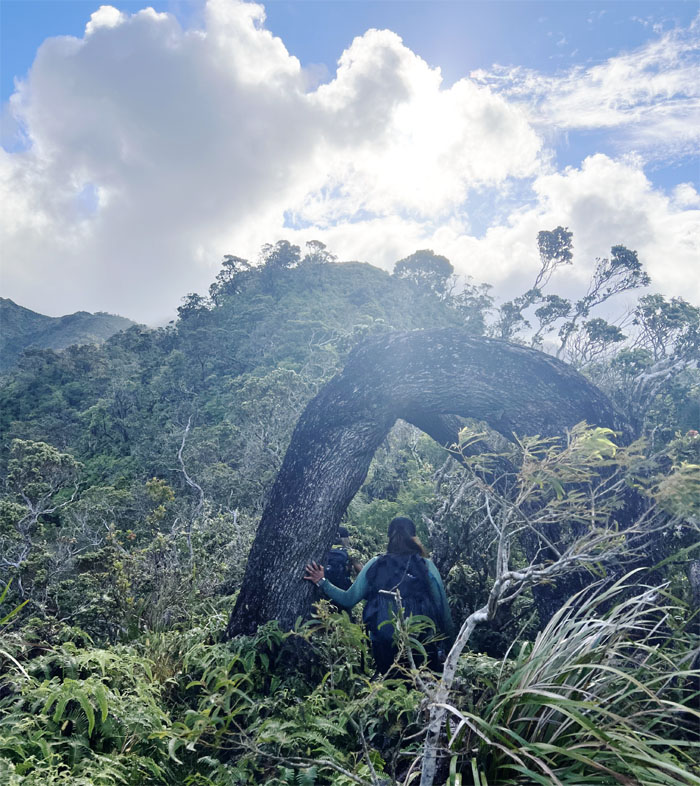
Roseann passing under the bent arch. A precursor of things to come. Old age and all.
Manana Trail
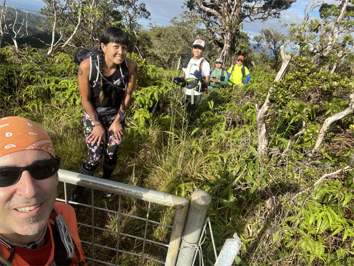
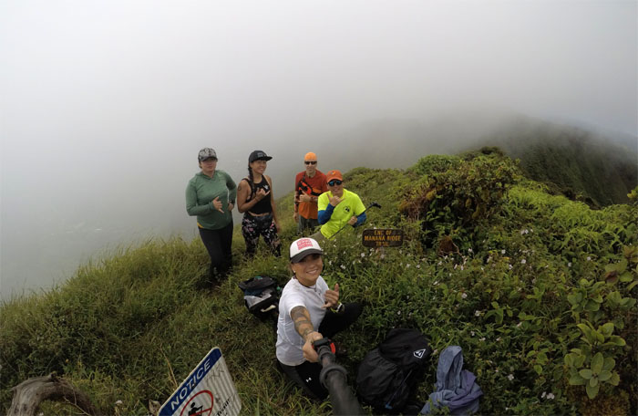
Group photo at the gate. Two more miles to go!
Manana Trail
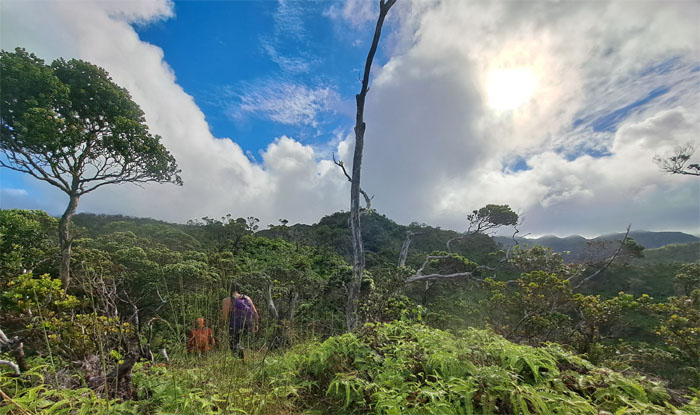
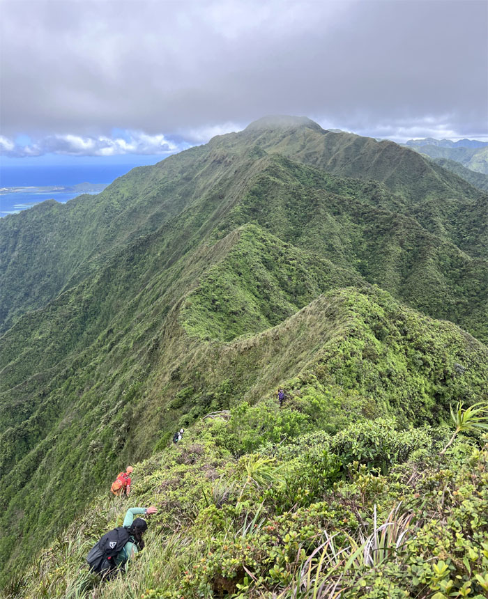
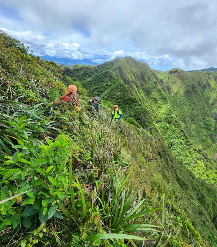
Passing through the tall grass and uluhe ferns. Scratch city.
Manana Trail
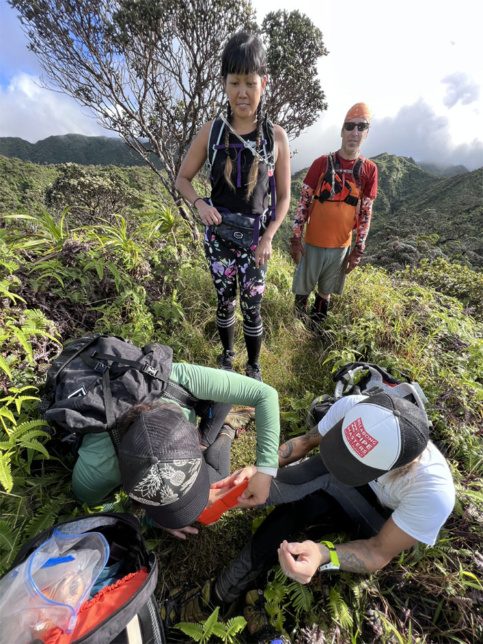
First aid clinic in the mountains. One of the million uses for duct tape.
Manana Trail
All fixed up and ready to go!

Manana Trail
Eating away at the last mile before the summit.
Manana Trail
Almost there!
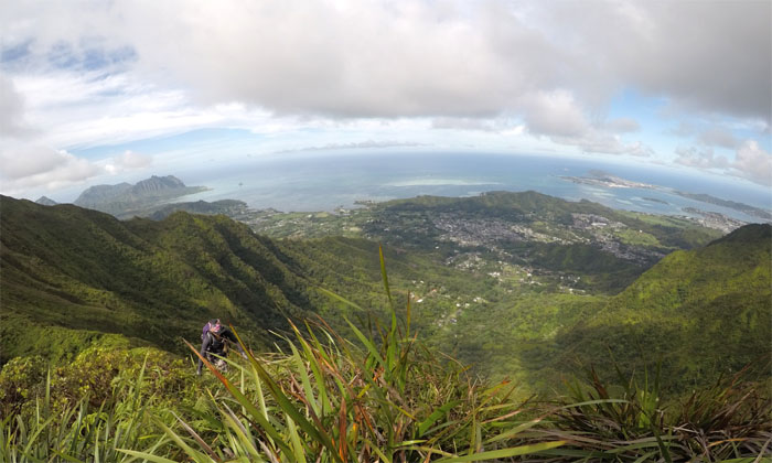
Manana Summit
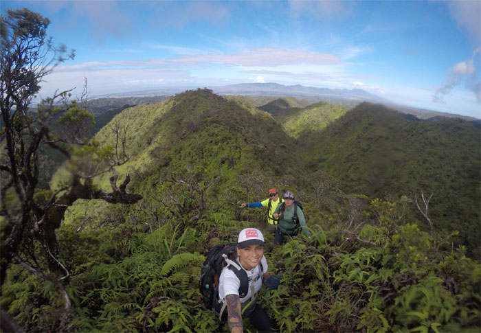
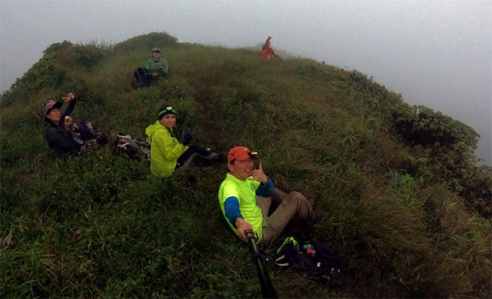
Group photo at the somewhat socked in 2,660′ knob. Luckily the winds soon blew the clouds away.
Ko’olau Summit Ridge Trail (KSRT)
Leaving the summit for greener and overgrown trails.
KSRT
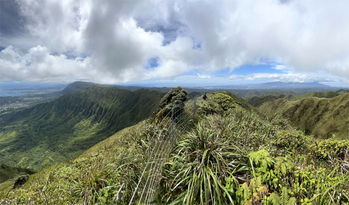
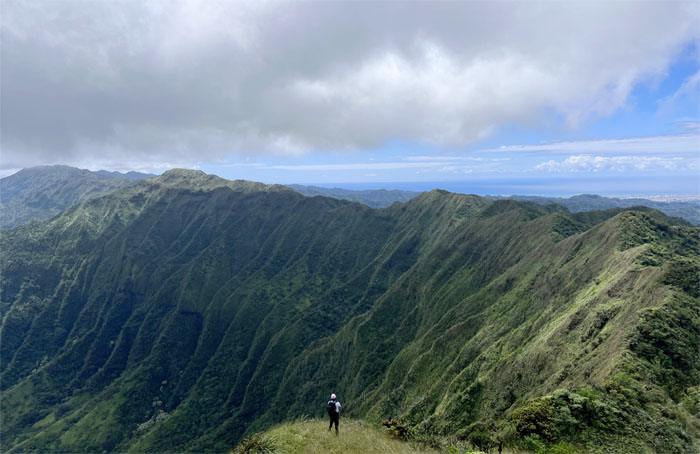
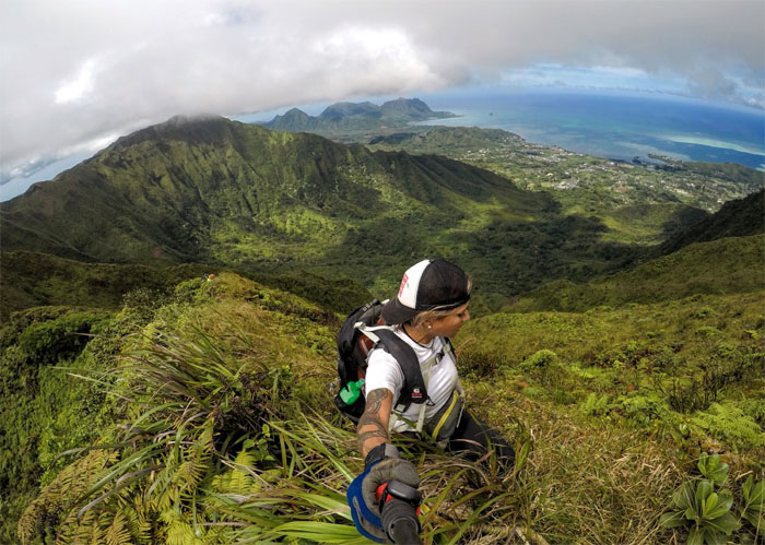
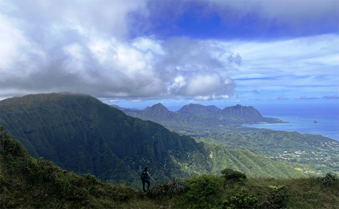
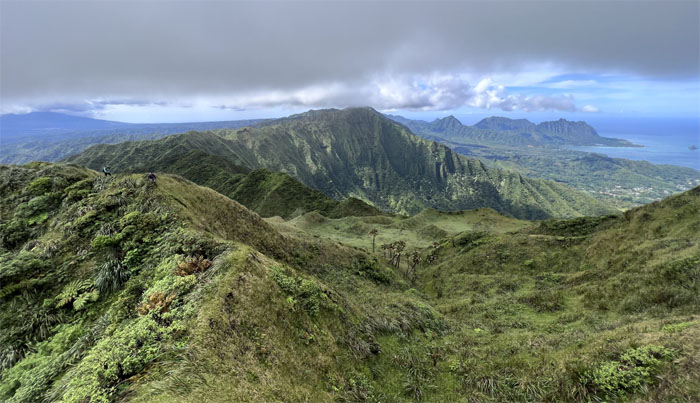
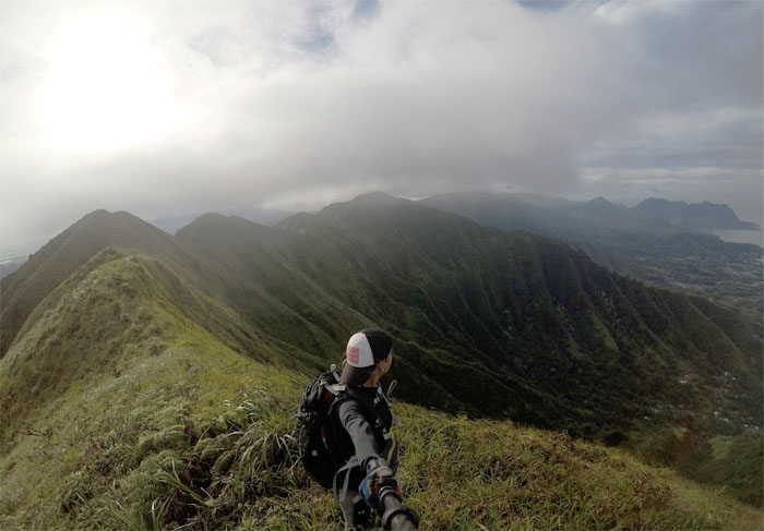
Windward views to the left and Leeward views to the right.
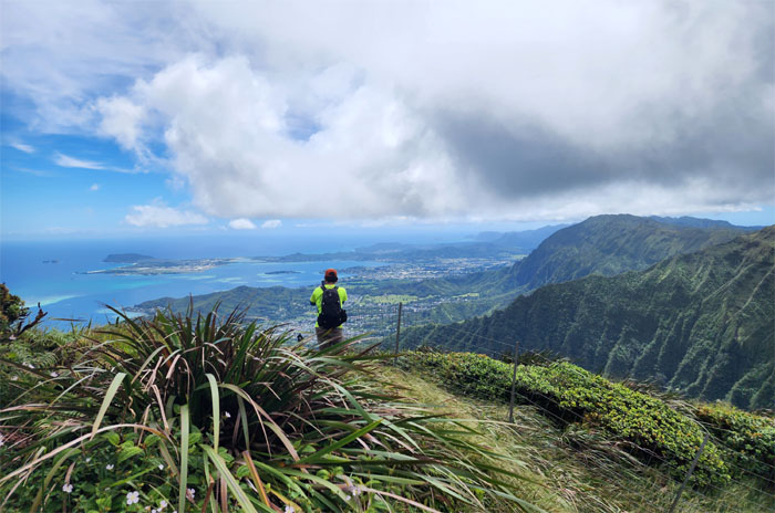
KSRT
Looking straight down Eleao Windward and neighboring Kalahaku Teeth, two of the hardest hikes I’ve done to date.
KSRT
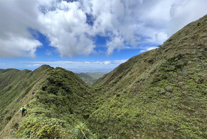
Passing Eleao Meadows as we followed the fence line.
KSRT
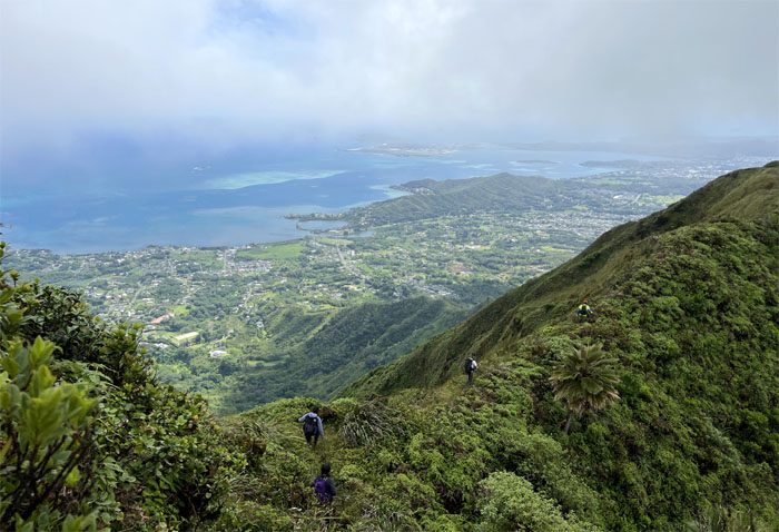
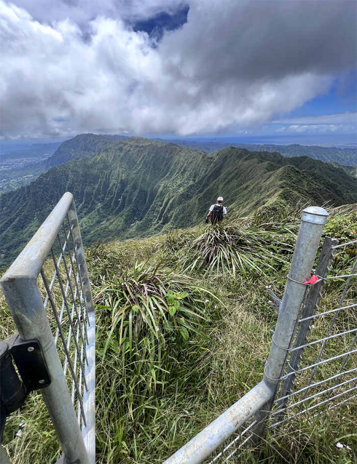
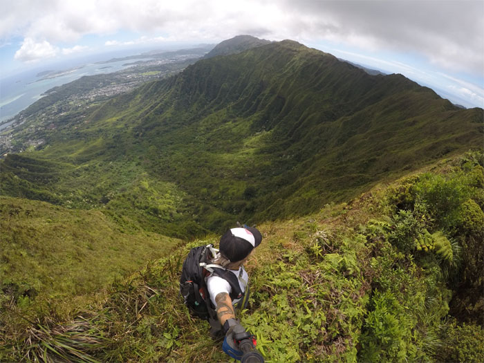
The gate soon spit us out onto the grassy slope with commanding views of the mountain range and surrounding areas.
KSRT
Jason not letting the gate hit him where the sun don’t shine.
KSRT
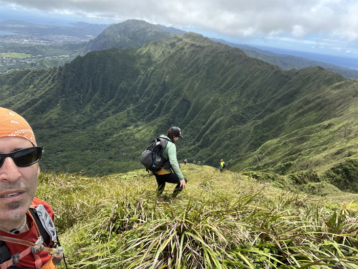
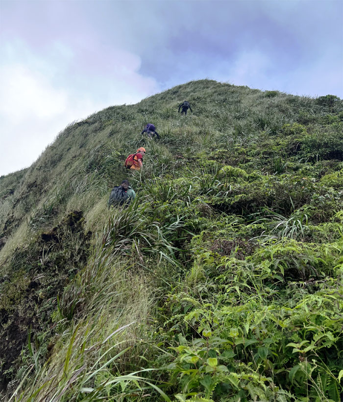
Coming down in a controlled descent on the soft under footing, more or less.
KSRT
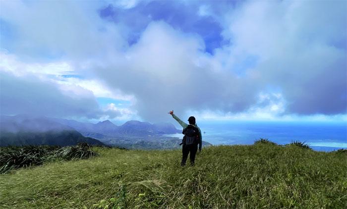
What a view!
KSRT
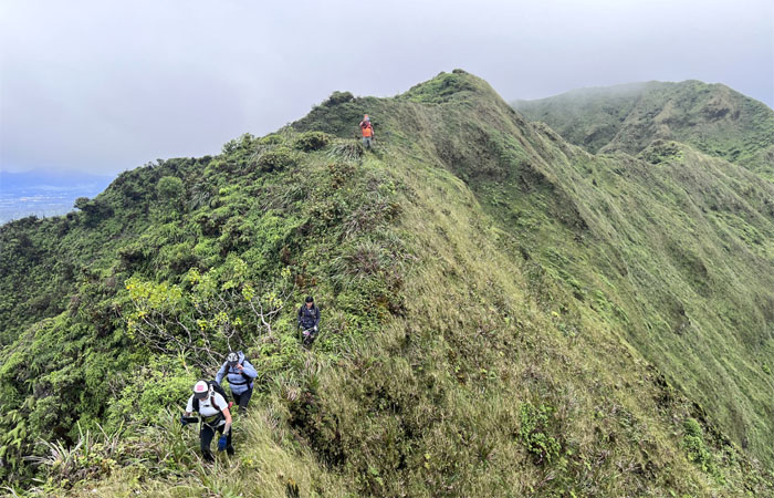
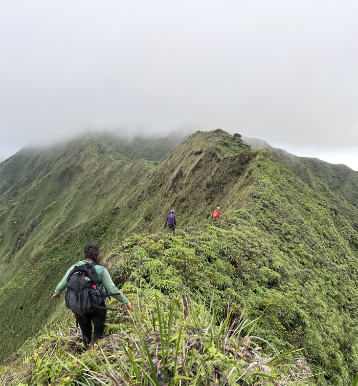
Back on the ridge line.
KSRT
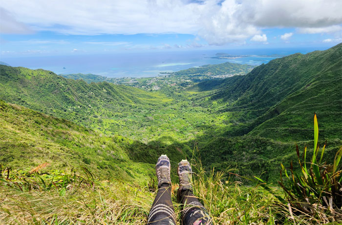
Looking down into Waihe’e Valley and points beyond.
KSRT
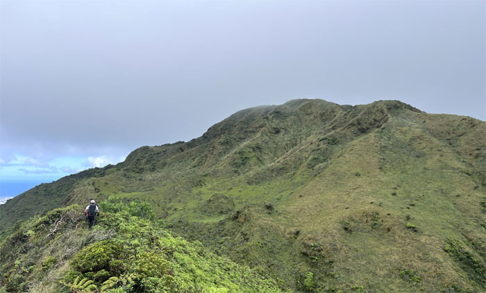
Hills for daze.
KSRT
Roseann passing the landslide section before dropping down into the saddle summit.
Waimano Summit
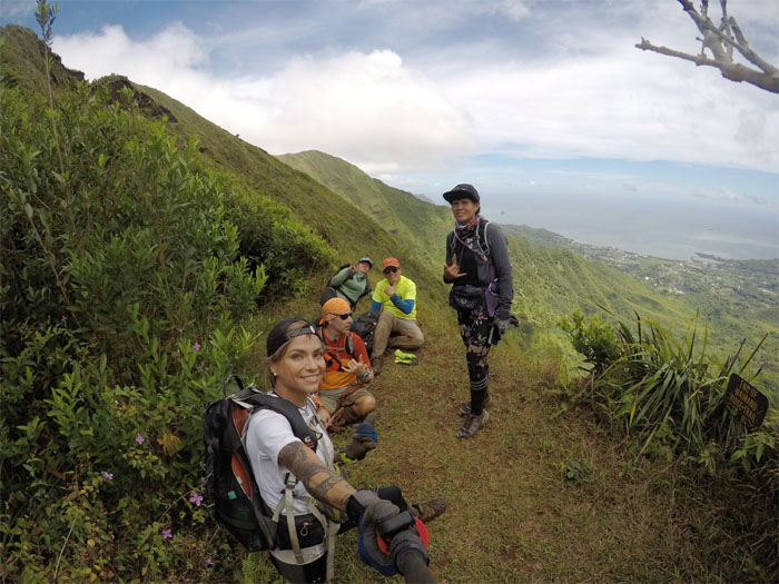
Group photo at the 2,160′ summit.
Waimano Summit
Somebody had to get their obligatory shoefie picture in somehow against the backdrop of Waihe’e Valley. Jason?
KSRT
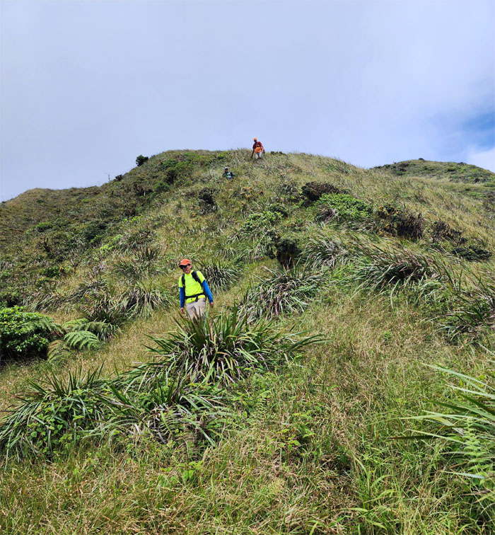
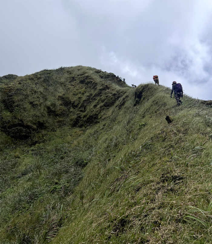
Climbing out of the saddle.
KSRT
Traversing the seemingly serpentine ridge line.
KSRT
Up and down. Up and down. You get the picture.
KSRT
Views for daze.
Waimalu Meadows
Approaching the large grassy field under the shadow of the flat topped peak.
Waimalu Meadows
Roseann on the ridge looking out to Waiahole, Ohulehule, Manamana and Kualoa ridges.
Waimalu Meadows
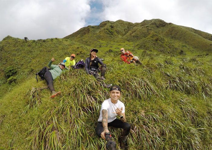
The meadow, The myth, The legend. Group photo in the oasis in the mountains that was unusually calm and clear. No complaints from the peanut gallery.
Waimalu Meadows
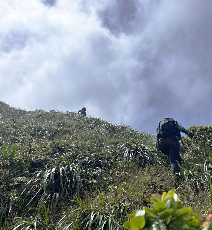
Trudging our way up the spongy hill to higher ground.
Waimalu Meadows
Crossing over the connecting ridge to more spongy ground.
Waimalu Meadows
Leaving the mythical spot behind us as we slowly grinded our way to the top.
Waimalu Summit
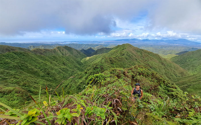
Roseann standing on the grassy summit.
Waimalu Summit
Leaving the summit for more rolling hills.
KSRT
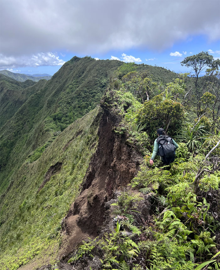
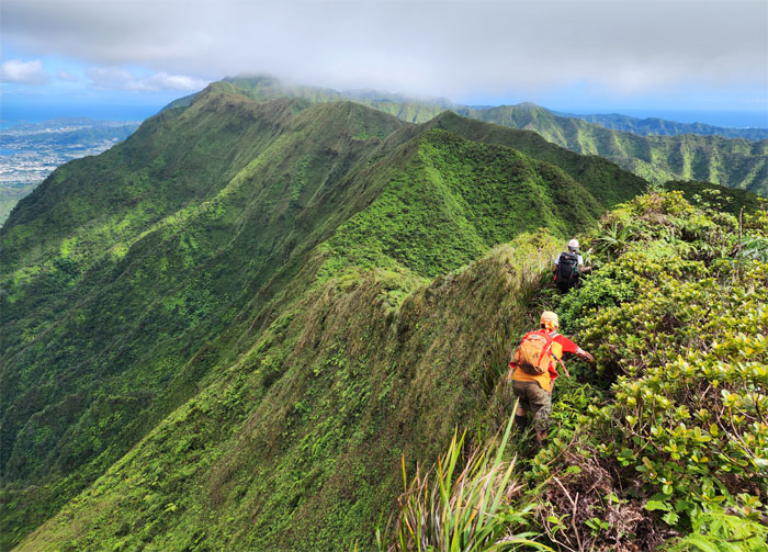
Back on the edge. The cliff edge.
KSRT
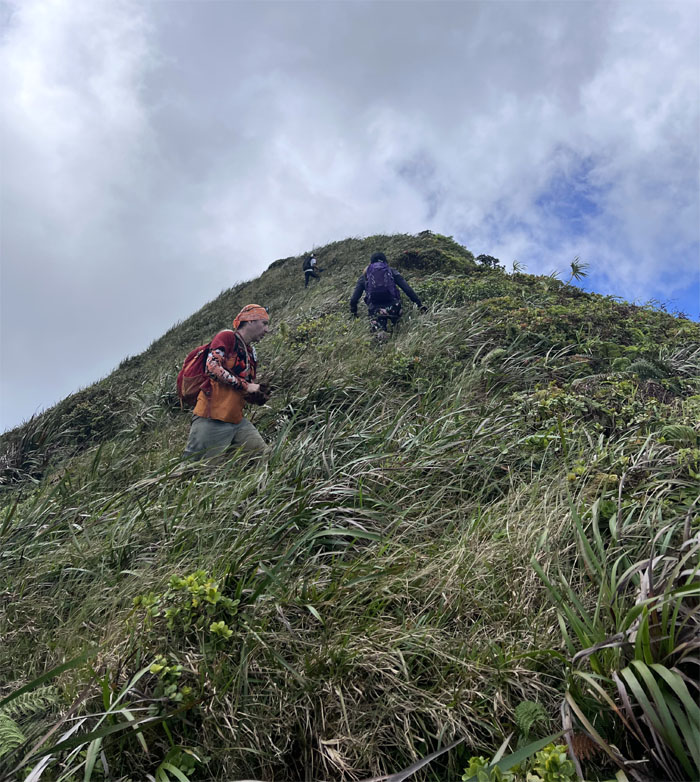
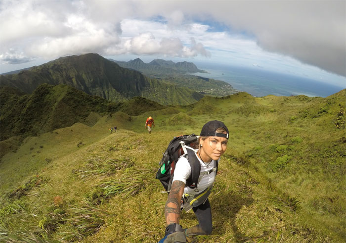
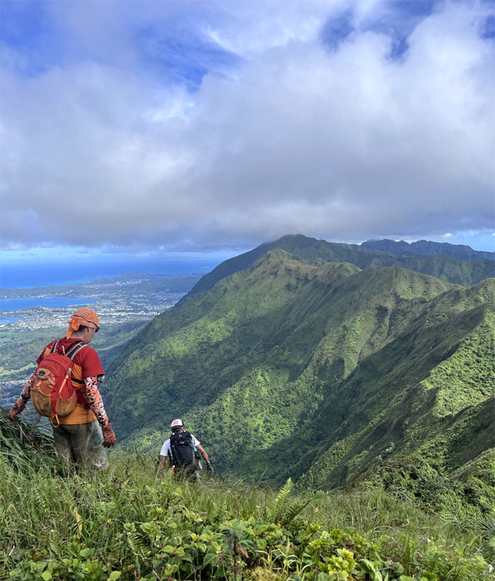
Aileen making her way up against the Windward backdrop.
KSRT
The hills have hills. Never ending.
KSRT
Are we there yet?
KSRT
Dropping down the grassy slope. Whichever way it takes to get there.
KSRT
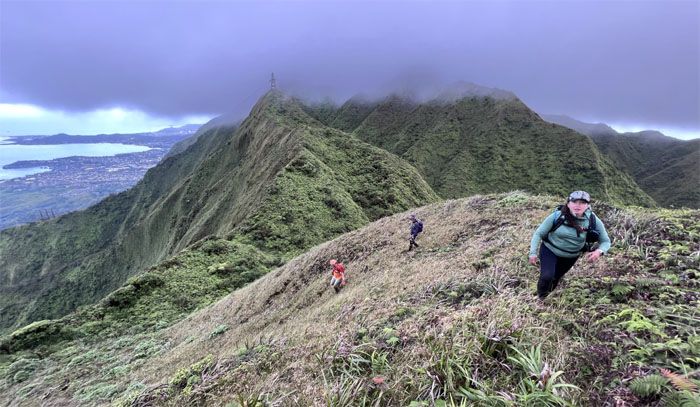
Alexis looking back at the mountain range we had just partially traversed.
KSRT
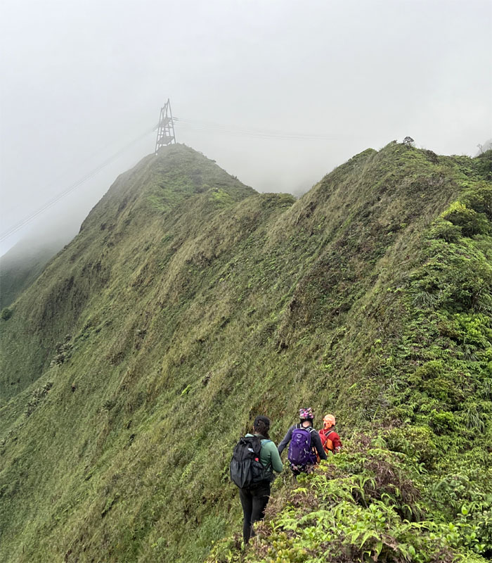
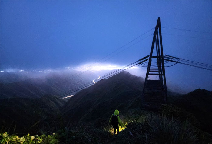
Approaching the power line tower on the ridge line, signaling that we were close to the summit.
KSRT
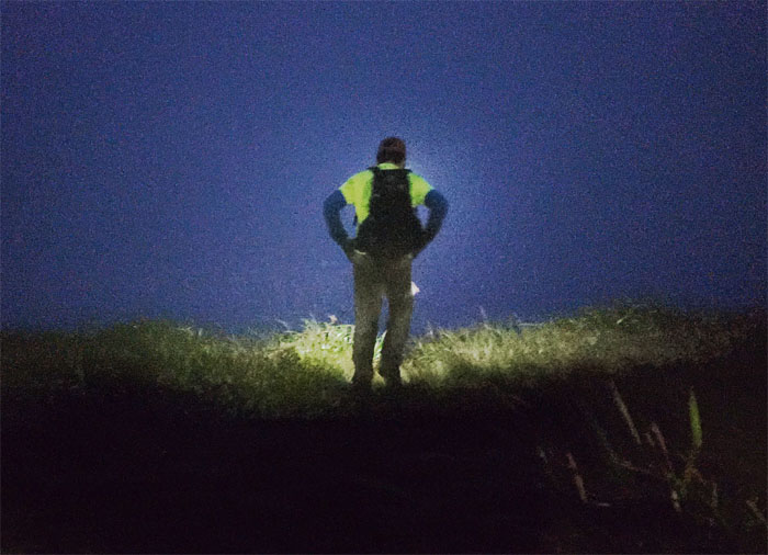
Looking out as the sun made its last call over the peaks and valleys.
Aiea Summit
Our last summit group photo at 2,805′ elevation.
Aiea Ridge Trail
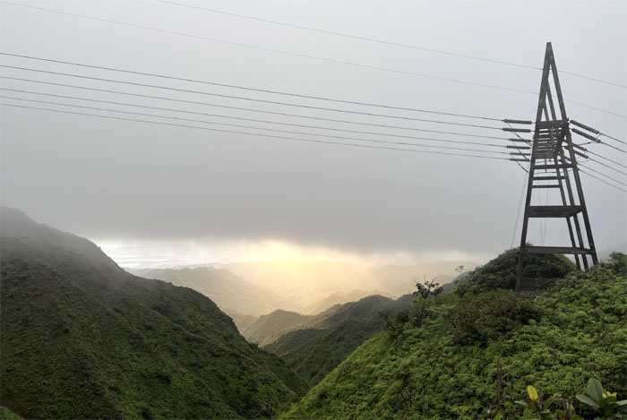
Climbing our way down from the power lines tower and onto the trail.
Aiea Ridge Trail
Setting the tone for the rest of the trail. Hiking in the dark until my batteries died. My cuss words didn’t die out. Just like the Energizer Bunny.
Aiea Ridge Trail
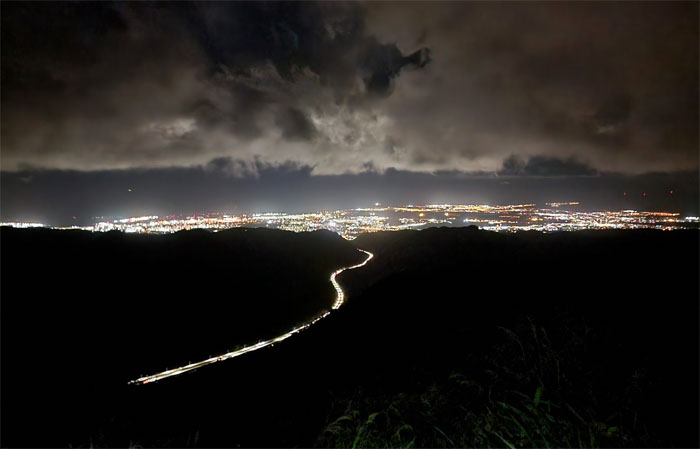
Hiking by the city and highway lights. Somebody rolled their ankle pretty bad on the trail. Thankfully it was mere moments from the trailhead. Need a hand? How about a hiking stick?
All pau
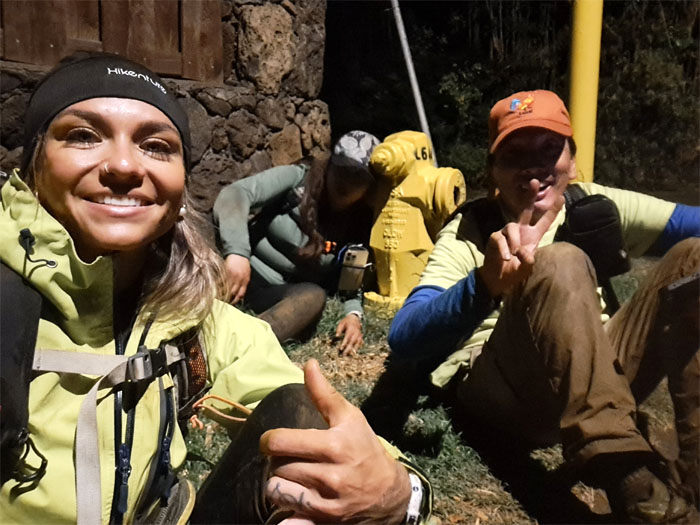
We were all plumb tuckered out from our long day and night in the mountains. Some more so than others. Luckily for somebody, there was a nearby fire hydrant.
Drive-thru
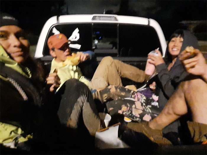
Thanks to Richie for picking us up and feeding us shakes, sodas and chicken nuggets in the back of a speeding truck. Good eats. Good times.
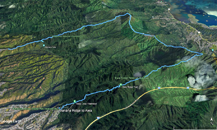
GPS Tracks
Our 14.3 mile hike was blessed with good weather, spectacular scenery and great company. Fun times.
Photos taken by Aileen Agustin, Alexis Catarina, Jason, Roseann Fai and yours truly. Not necessarily in order.
Note: I have been made aware that some hikers have been using my blog as a hiking guide and getting lost on the trails. Please note that this blog was made to document the hike for the crew(s) that did it. That is why some of my comments will seem to have no relevance or meaning to anybody outside of the crew(s) that hiked that trail. My blog was never meant as a hiking guide, so please do not treat it as such. If you find inspiration and entertainment from these hikes, that is more than enough. If you plan on replicating these hikes, do so in the knowledge that you should do your own research accordingly as trail conditions, access, legalities and so forth are constantly in flux. What was current today is most likely yesterdays news. Please be prepared to accept any risks and responsibilities on your own as you should know your own limitations, experience and abilities before you even set foot on a trail, as even the “simplest” or “easiest” of trails can present potential pitfalls for even the most “experienced” hikers. One should also always let somebody know of your hiking plans in case something doesn’t go as planned, better safe than sorry.
{ 2 comments… read them below or add one }
Mann! This is tough kst section for me, up and down, up and down…
Aloha Rose,
Yep, it was a tough day. Up and down all the way.
Mahalo