
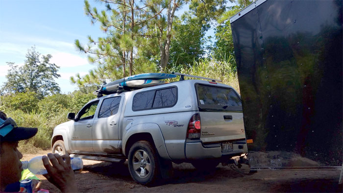
We decided to explore a well-trafficked canyon on the North Shore side today. Met up with Chris, Dale and Ferlino at a secluded beach in Mokuleia. Somebody overslept.
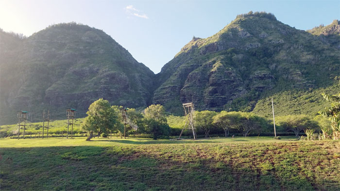
Trailhead
Thanks to Cisco for the beta on this neat little canyon tucked away in Mokuleia.
Trail
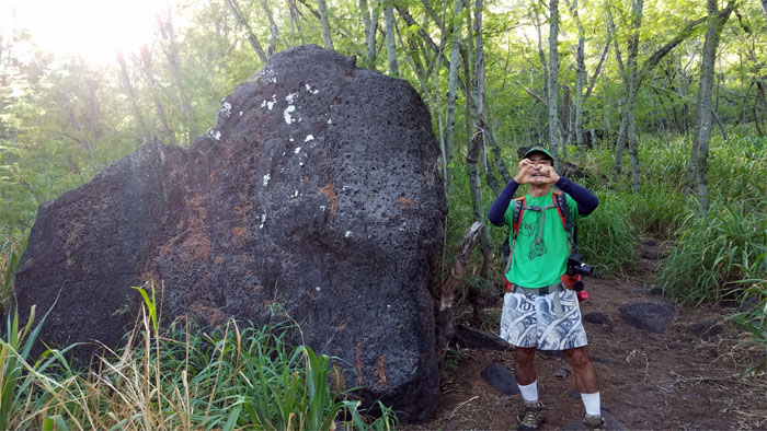
We fled the tsunami and hiked inland through the waist high California grass to find a giant heart shaped rock lying on its side.
Trail
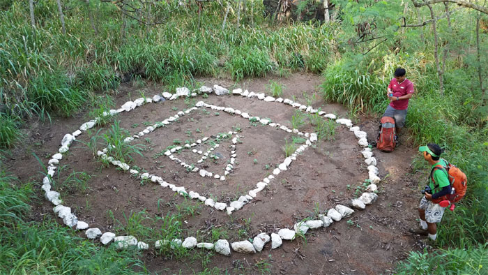
Trying to figure out if we stumbled across a Blair Witch Project. We did not want to become part of a pseudo-documentary.
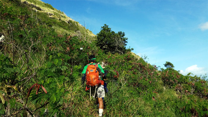
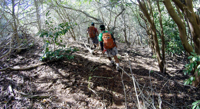
Trail
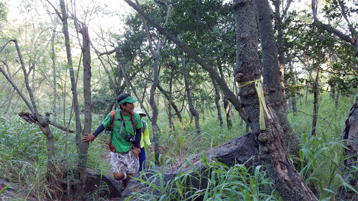
Ribbons are always helpful, especially if they are leading you in the direction that is desired.
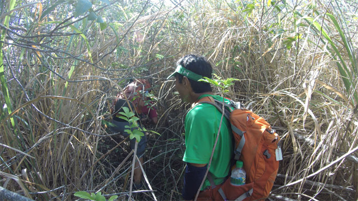
Trail
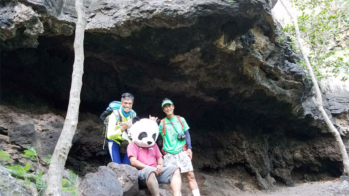
We explored a side trail that lead us to the reclusive mountain panda in his natural habitat. Still searching for that even more elusive wallaby.
Trail
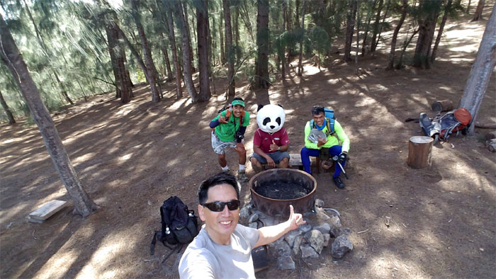
Fleeing the panda’s habitat after he got testy with me for failing to provide him with his daily sustenance of bamboo leaves, stems and shoots. Photo by Dale Yoshizu.
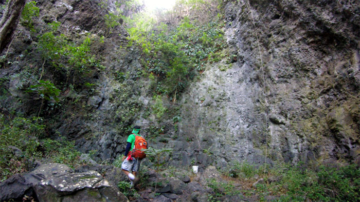
Nihoa Gulch
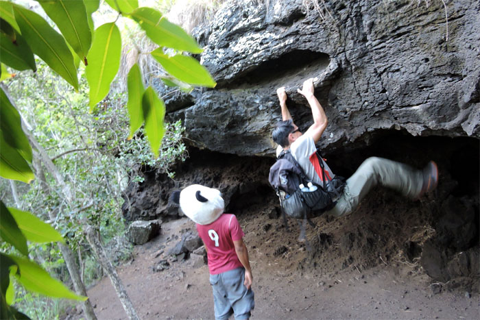
Dale heading into the mouth of the canyon.
Nihoa Gulch
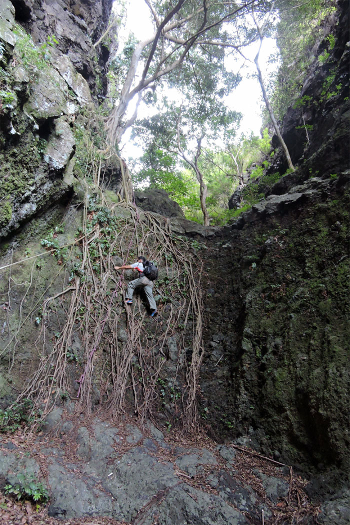
Who needs ropes, when you have roots. Photo by Dale Yoshizu.
Nihoa Gulch
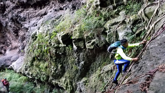
Ferlino climbing up the well rooted wall.
Nihoa Gulch
Climbing higher and deeper into the gulch. Photo by Dale Yoshizu.
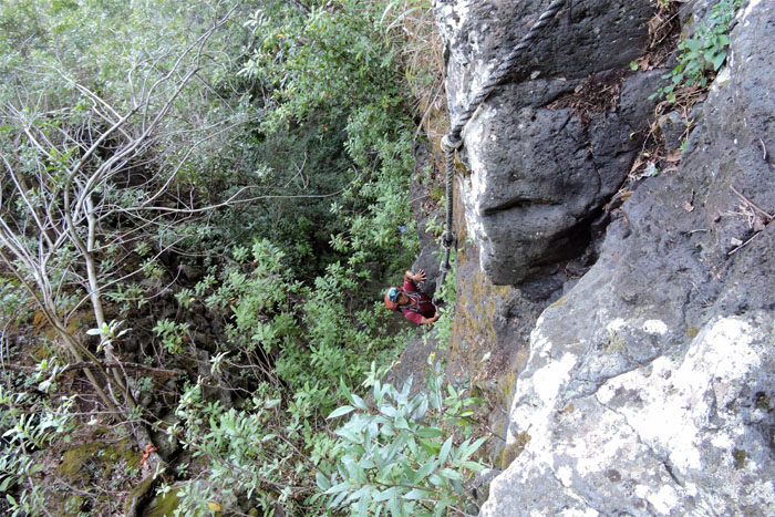
Nihoa Gulch
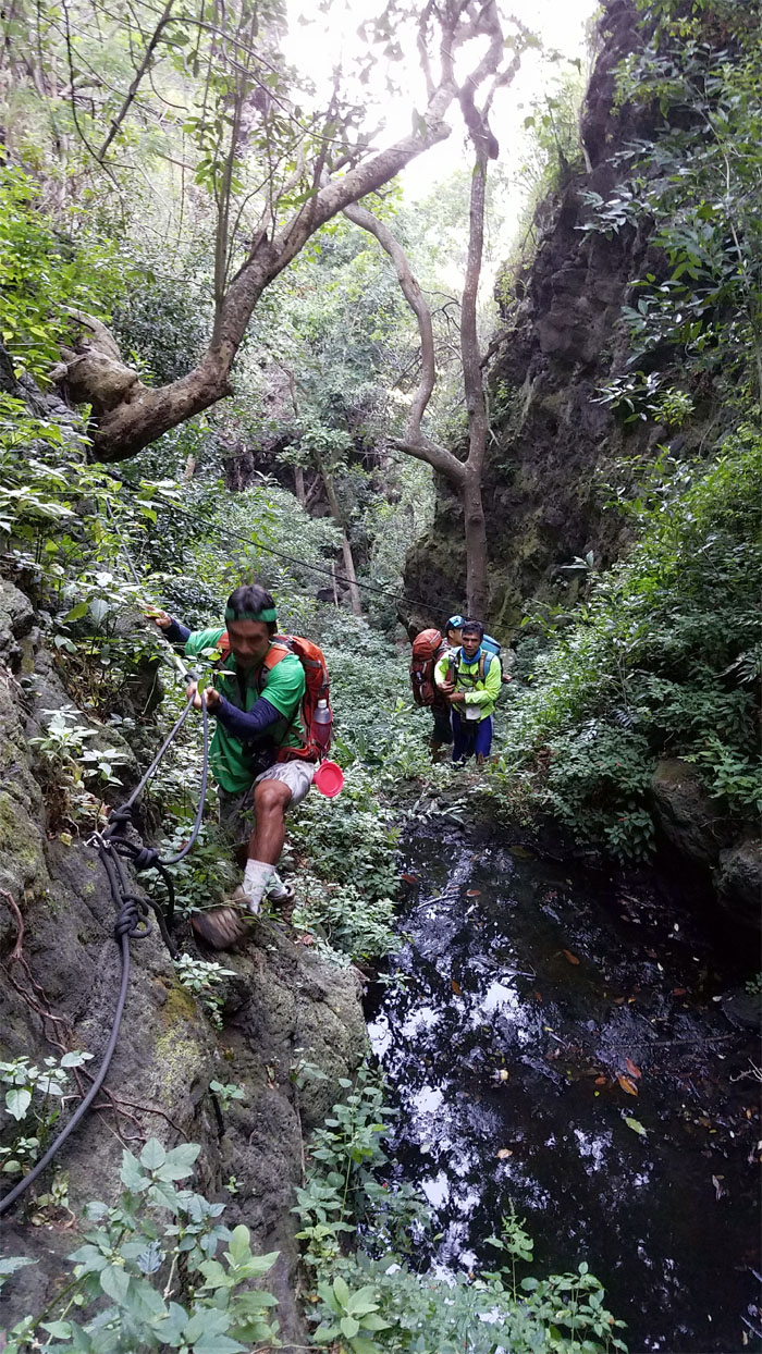
Dale skirting the black stagnant pool using the anchored ropes.
Nihoa Gulch
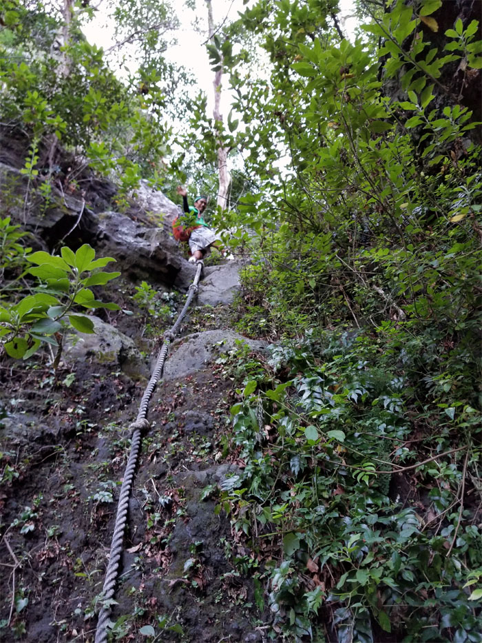
We went up some extemely thick rope, like the ones that used to be found in school’s gymnasiums. Photo by Ferlino Carinio.
Nihoa Gulch
Chris climbing his way up. Photo by Ferlino Carinio.
Nihoa Gulch
I heard this is usually the end of the trail for most, but I was determined to see if we could connect to the Waianae Summit Trail that was somewhere above our heads. Photo by Ferlino Carinio.
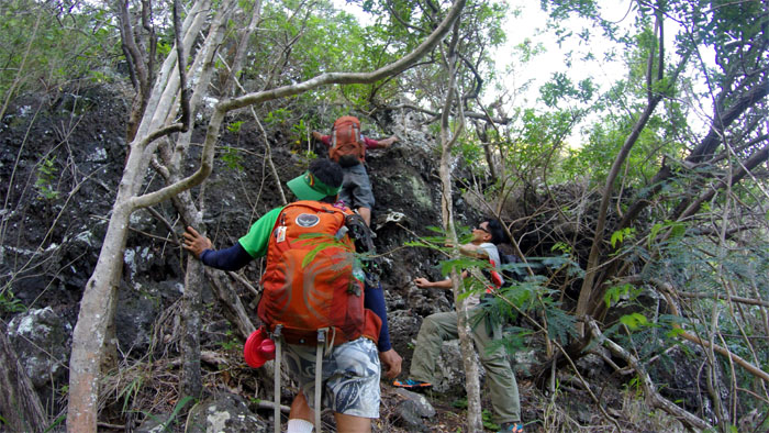
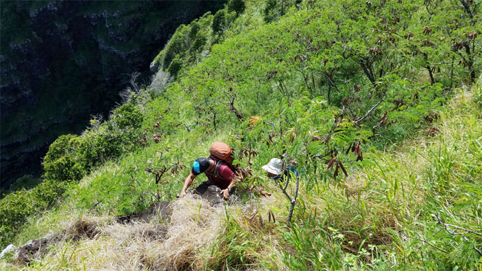
Trail
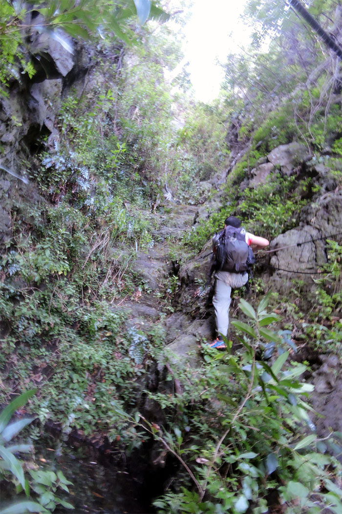
Scrambling our way out of the canyon. Photo by Ferlino Carinio.
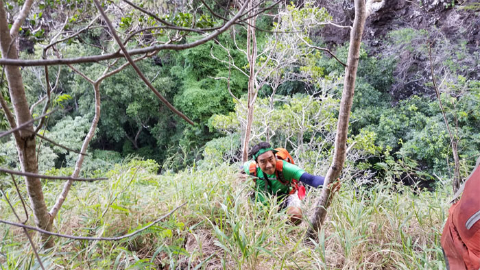
Trail
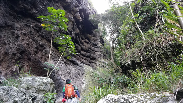
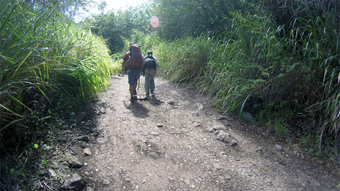
Bushwhacking our way out of the gulch.
Trail
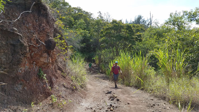
We picked up a faint pig trail and started following it.
Trail
The trail was not leading us to the promised land, so we picked what looked like the path of least resistance to the top.
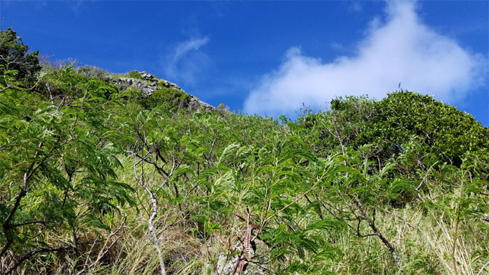
Trail
Going up a rather steep climb that was somewhat obstructed by dense low lying tree shrubs that hindered passage. So much for the path of least resistance.
Trail
It was a mountain burner going up, but it was somewhat tempered by the breezy trade winds.
Trail
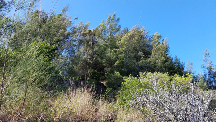
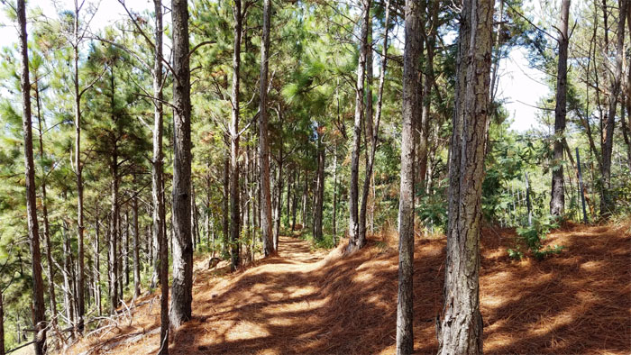
The pine tree grove ahead looked like a promising spot to rest a spell.
Trail
Chris and Dale climbing up the ridge.
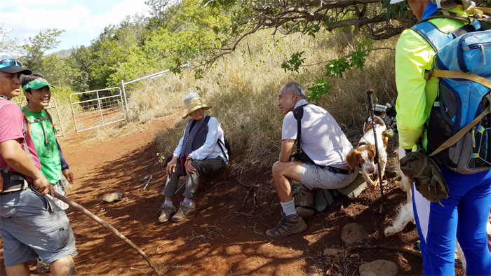
Trail
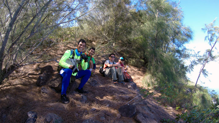
Taking a much needed break after our cardio puff up the hill. Group photo left to right: Ferlino, Dale, myself and Chris.
Trail
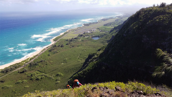
Looking down into Camp Erdman, where I spent many a summer as a kid. Good times. Photo by Ferlino Carinio.

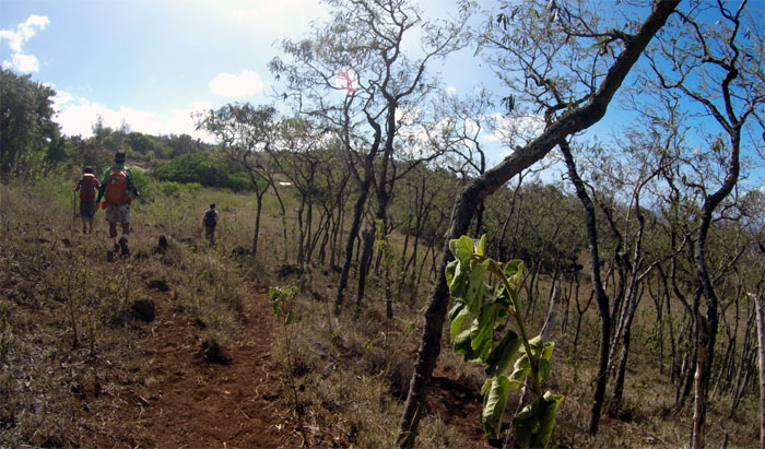
Trail
We scouted out which trail looked most promising and then headed off in that direction.
Camp Panda
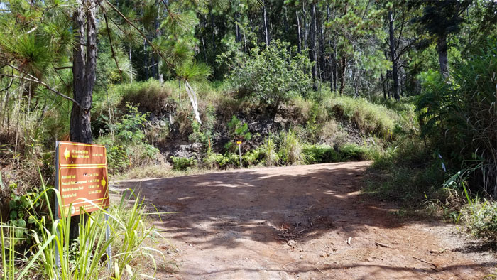
Exploring a nicely appointed camp site; complete with fire pit, firewood, and hammock set ups. Too bad camping wasn’t on the agenda today.

Kuaokala Trail
We followed tire tracks from the camp site, which soon lead us to a jeep road.
Kuaokala Trail
Ignoring multiple junctions, as we stayed true to the main road or what we thought was the main road.
Kuaokala Trail
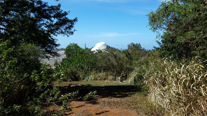
We heard a lot of 4x4s off-roading in the trails above us. Photo by Ferlino Carinio.
Junction
The jeep road eventually intersected with the Waianae Summit Trail (WST). I always wondered where this particular road led too. Now I know the rest of the story.
Kuaokala Trail
We saw several mountain surfer trucks pass us on the way from Peacock Flats.
Kuaokala Trail
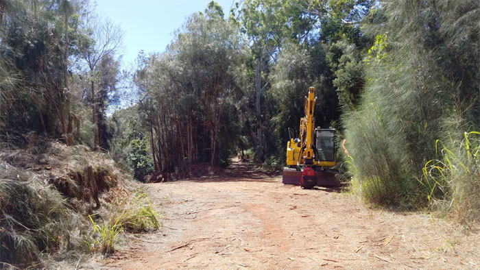
Taking the higher road as we passed heavy machinery parked on the side.
Kuaokala Trail
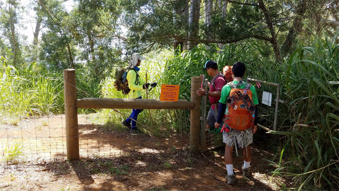
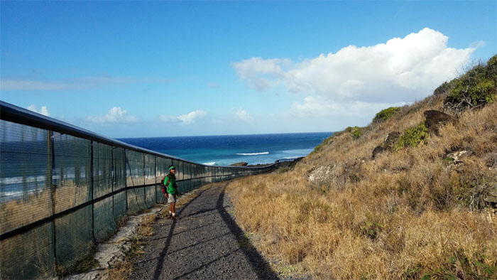
Since we were not of the ungulate family, we were able to gain passage to the other side of the fence.
Kuaokala Trail
Hiking down the picturesque tree lined trail.
Kuaokala Trail
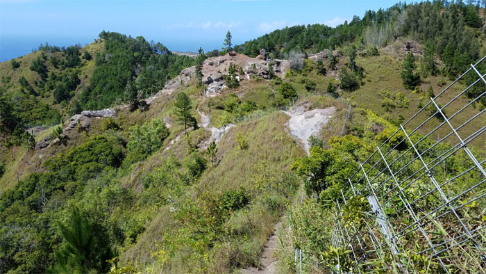
Following the fence line into the more exposed and rocky section of the trail.
Kuaokala Trail
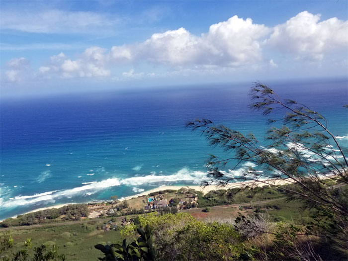
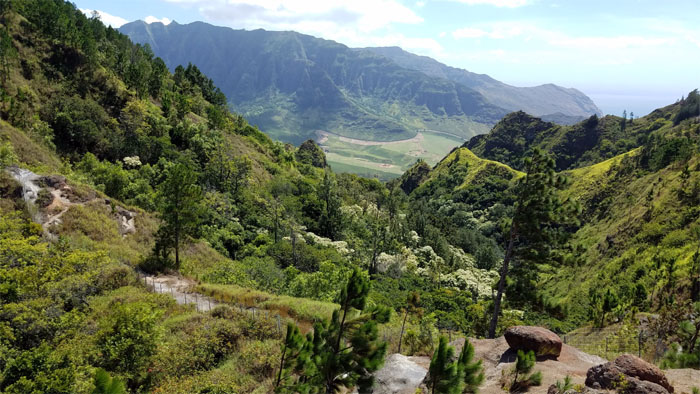
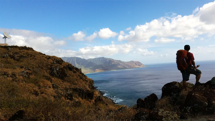
Looking down into Makua Valley. The rugged beauty of the Waianae Mountains has a different character than the refined nature of the Ko’olau Mountains.
Kuaokala Trail
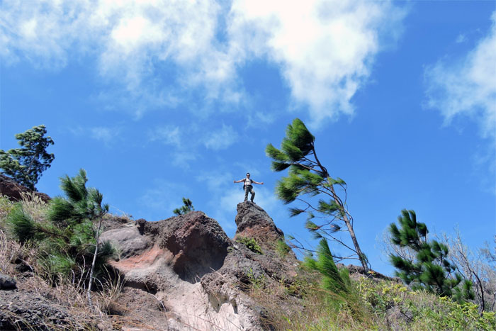
Standing on a little rock perch. Photo by Dale Yoshizu.
Kuaokala Trail
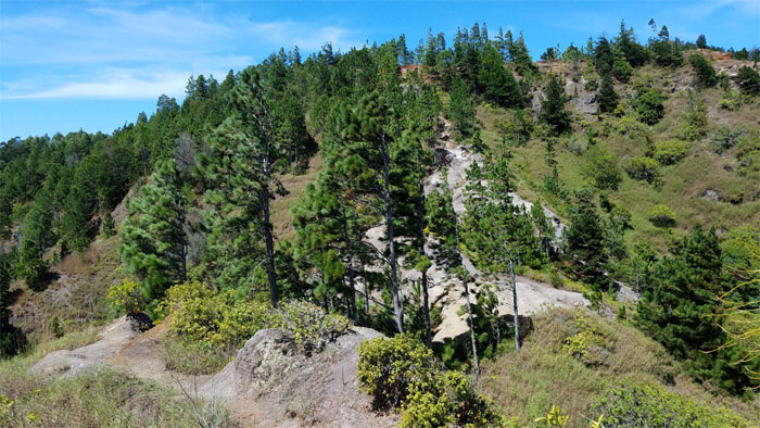
Making our way up to the Ironwood forest.

Kuaokala Trail
Dale passing the signed marker on the trail.
Kuaokala Trail
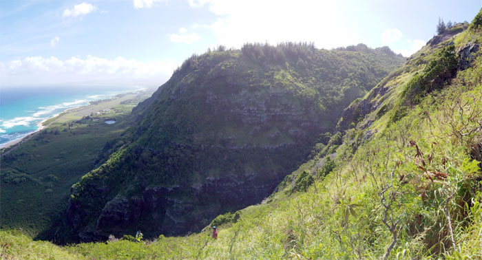
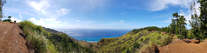
Panoramic view of the trail as it rimmed the valleys below us.
Kuaokala Trail
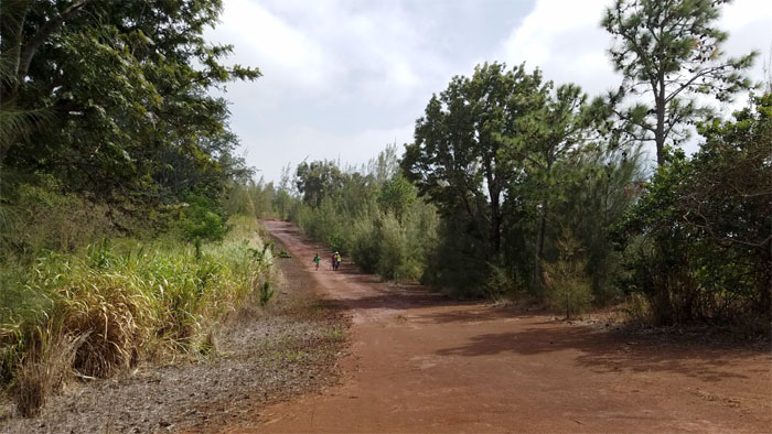
The group coming down the highway of a trail.
Kuaokala Trail
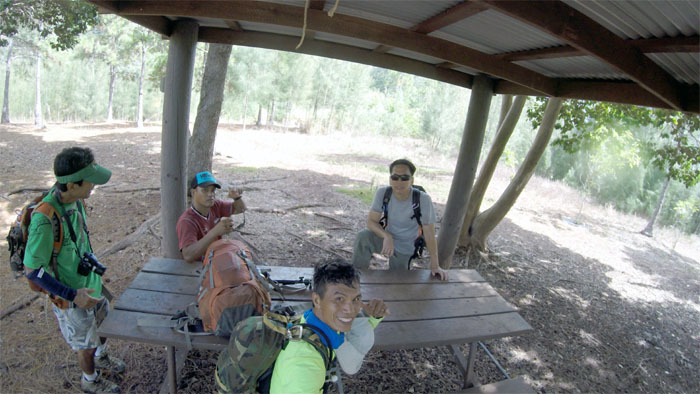
Taking a break at the picnic shelter, courtesy of the BSA. Photo by Ferlino Carinio.
Kuaokala Trail
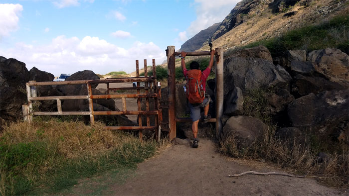
We need to get off the reservation.
Kuaokala Trail
Weaving, crawling and ducking was the order of the day. Photo by Ferlino Carinio.
Kuaokala Trail
Along with the burrowing and tunneling through dry and scratchy head high buffalo grass as well. Photo by Ferlino Carinio.
Kuaokala Trail
We met and briefly talked story with an older couple and their hunting dogs on the trail.
Kuaokala Trail
Roaming through cattle country. Photo by Ferlino Carinio.
Kuaokala Trail
When is our tee time?
Kuaokala Trail
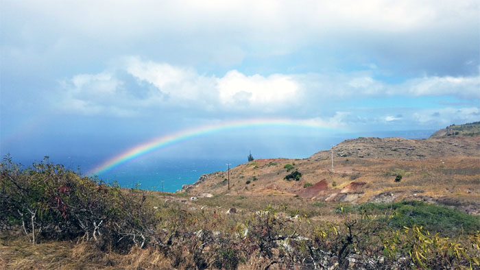
Rainbow to our right.
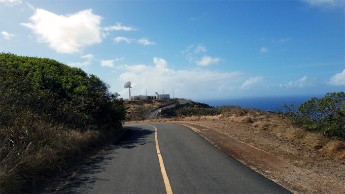
Road
Tracking the sun since 2011.
Road
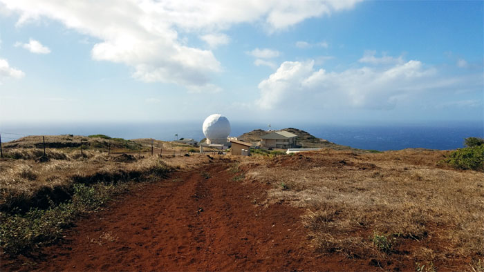
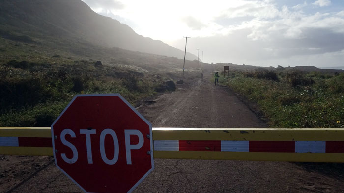
End of the road for us.
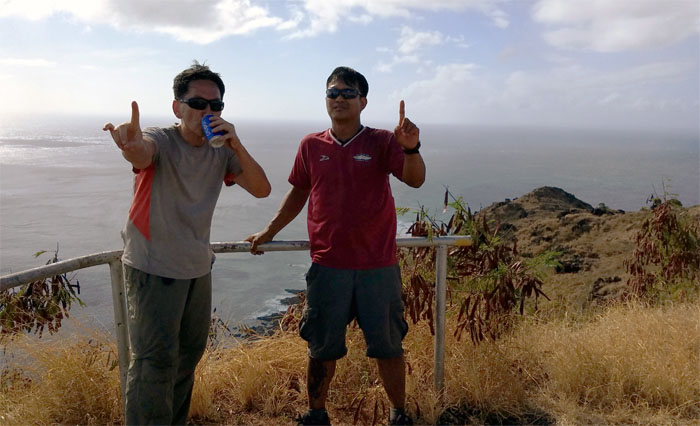
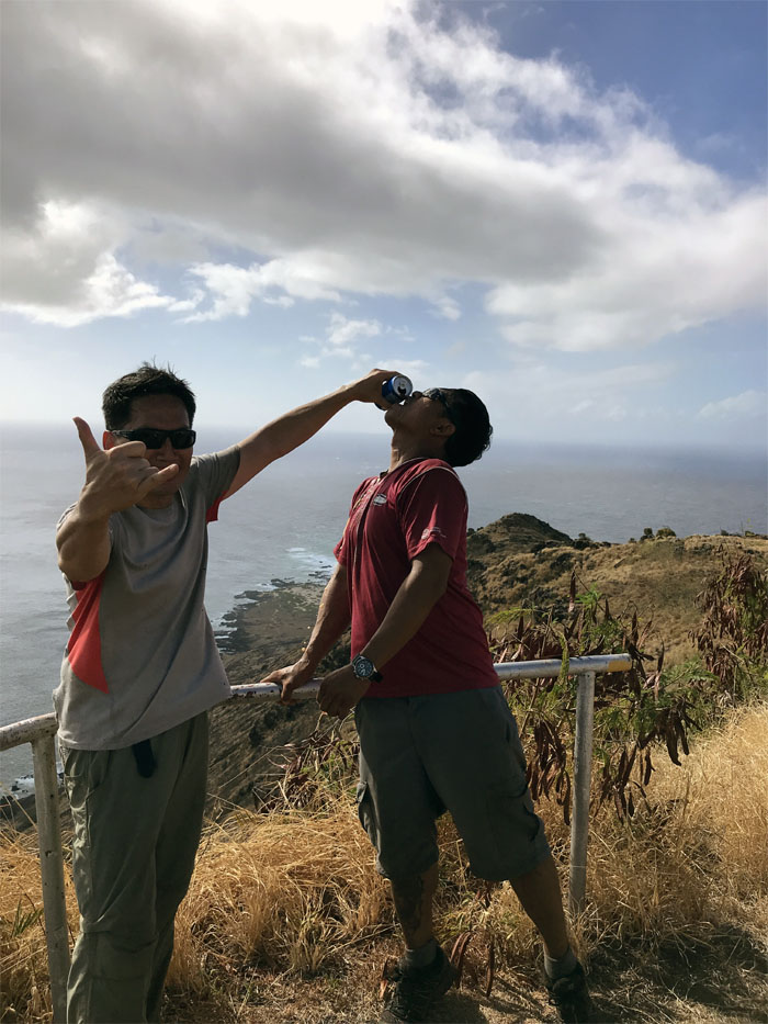
Kaena Point
This marked the spot where Chris could finally say he finished the Waianae Mountain Range. Time to celebrate. Sorry no champagne this time. Thanks to Ferlino for carrying a cold Pepsi. But wait, let me drink some before it goes to waste!
Kaena Point
Congratulations to Chris for completing the Waianae Summit Trail, both mountain ranges finished.
Kaena Point
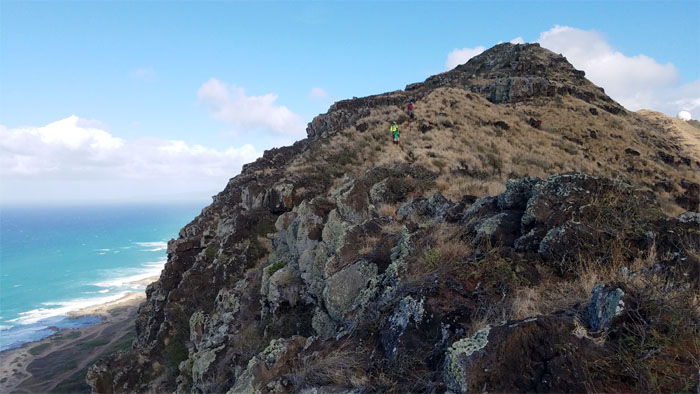
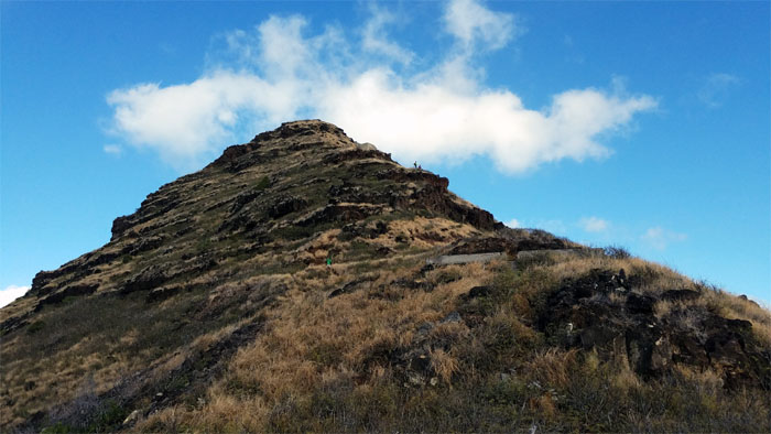
We took our hurried leave of the summit and started to make our way down the rocky ridge.
Kaena Point
Chris looking back at the Waianae coastline.
Kaena Point
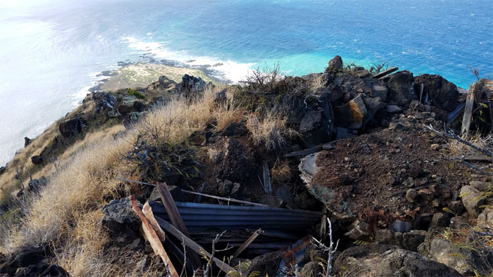
This bunker has seen better days.
Kaena Point
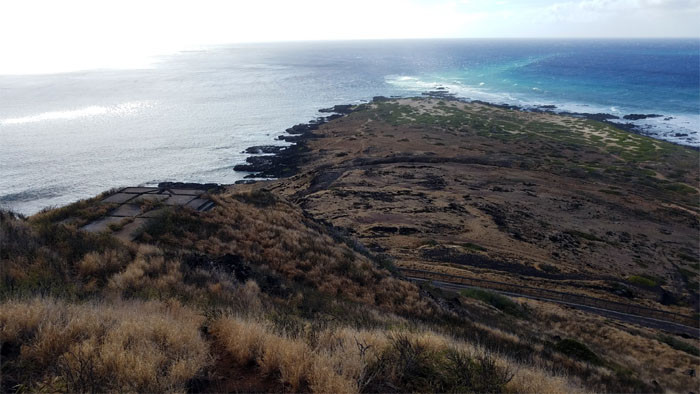
Looking back at the Mokuleia coastline wrap around the ridge.
Kaena Point
Waiting at the second bunker. Photo by Dale Yoshizu.
Kaena Point
Dale taking a picture of Ferlino coming down the ridge.
Kaena Point
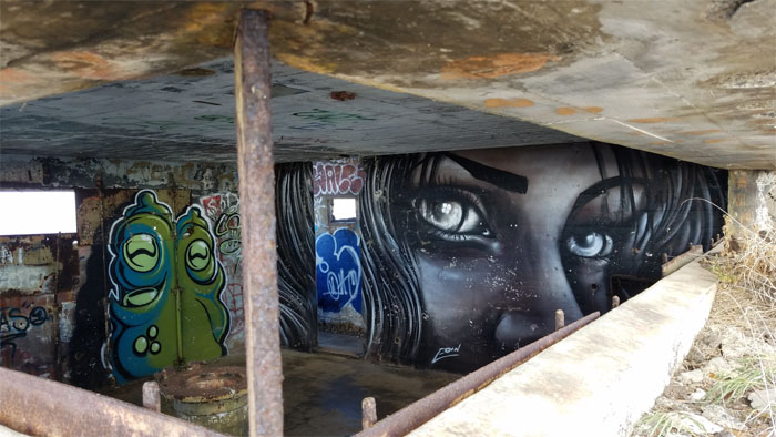
The eyes have it, even the alien eyes.
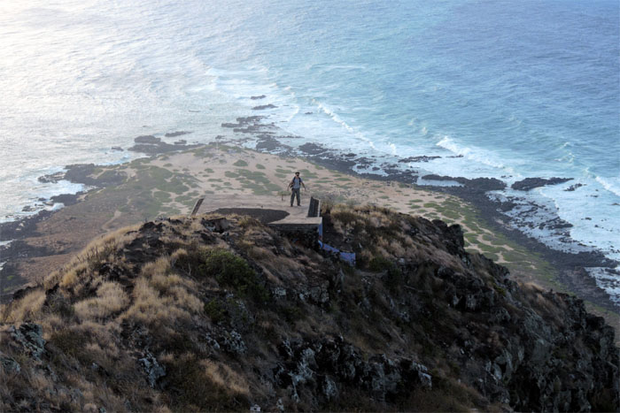
Kaena Point
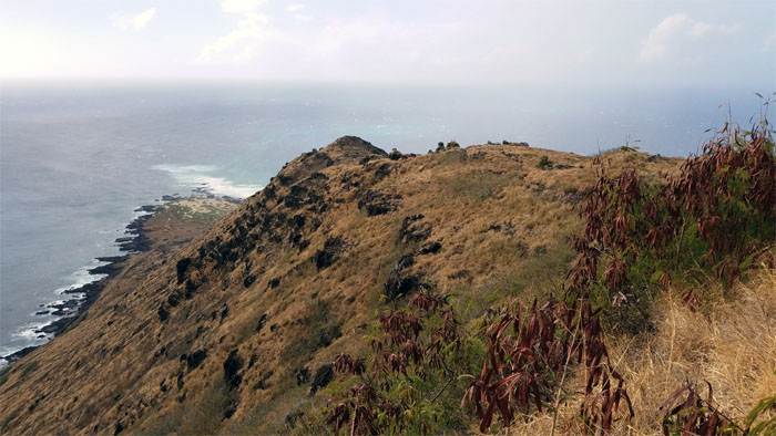
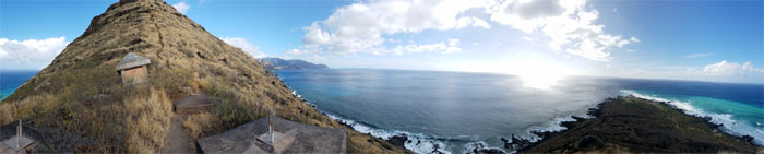
Panoramic view from ridge to point.
Kaena Point
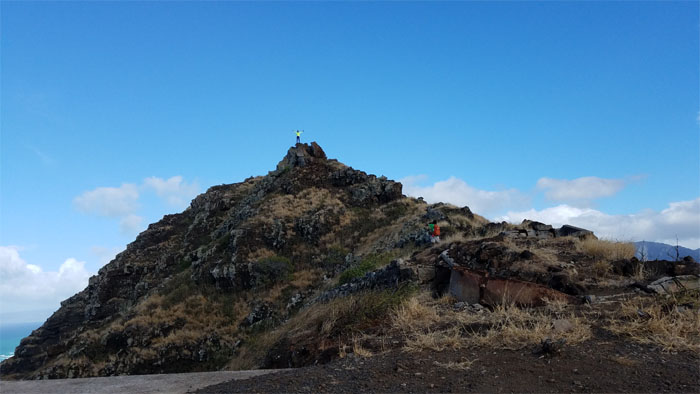
Approaching the last bunker.
Kaena Point
Chris and Ferlino coming down the mountain.
Kaena Point
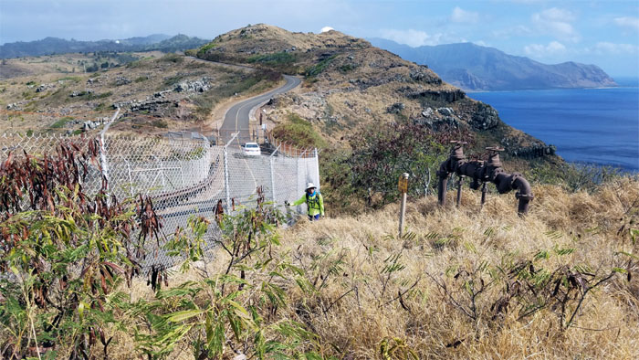
Dale ready to follow part of the 2,133′ fence out towards the Mokuleia side of the reserve.
Kaena Point
Leaving the 59 acres of protected sand dunes, native fauna and flora.
All pau
The jeep road going out was populated with 4x4s, mountain bikes and other fellow hikers.
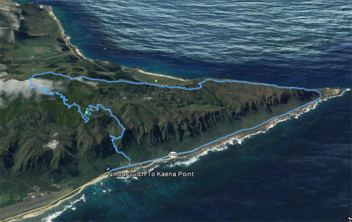
GPS Tracks
What was supposed to have been a short, exploratory day turned into a full days hike that covered 13.55 miles. Fun day with a great group. Another amazing accomplishment for Chris today. Post hike meal at Dong Yang Inn. You say meat jun, they say meat chun. The reports of their closing have been greatly exaggerated. Anybody want to chip in and buy a Korean restaurant?
Note: I have been made aware that some hikers have been using my blog as a hiking guide and getting lost on the trails. Please note that this blog was made to document the hike for the crew(s) that did it. That is why some of my comments will seem to have no relevance or meaning to anybody outside of the crew(s) that hiked that trail. My blog was never meant as a hiking guide, so please do not treat it as such. If you find inspiration and entertainment from these hikes, that is more than enough. If you plan on replicating these hikes, do so in the knowledge that you should do your own research accordingly as trail conditions, access, legalities and so forth are constantly in flux. What was current today is most likely yesterdays news. Please be prepared to accept any risks and responsibilities on your own as you should know your own limitations, experience and abilities before you even set foot on a trail, as even the “simplest” or “easiest” of trails can present potential pitfalls for even the most “experienced” hikers.
{ 0 comments… add one now }