
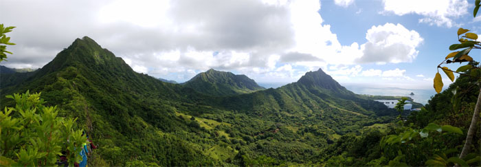
Started at the crack of dawn with Chris, Lee, Mia and Yoly to hike a loop that I have been wanting to do for quite some time in Kahana Valley.
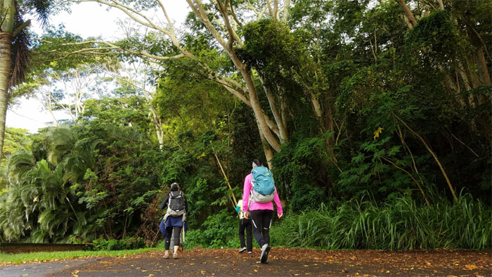
Trailhead
We all piled into Chris’s van to drive to the dead end road and kept a low profile to avoid disturbing the neighbors.
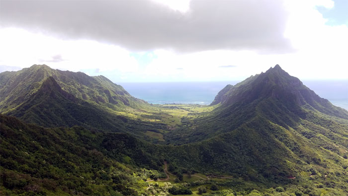
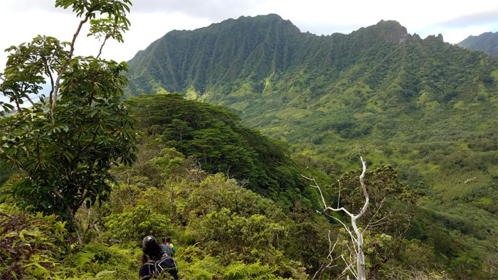
Waikane Valley
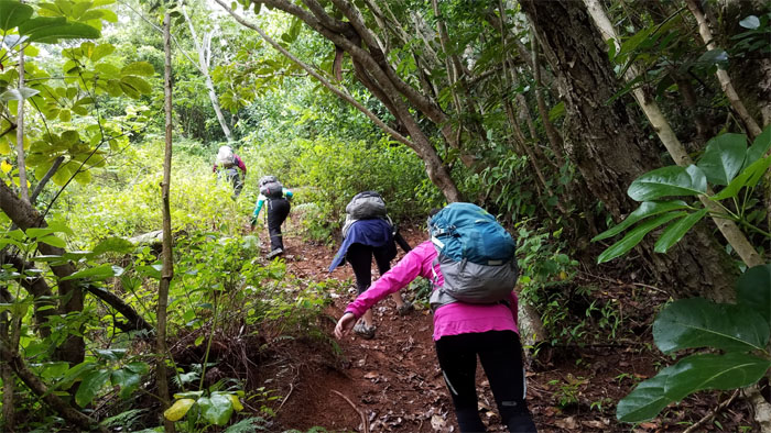
The trail was surprisingly obvious, a marked departure from my last visit.
Waikane Valley
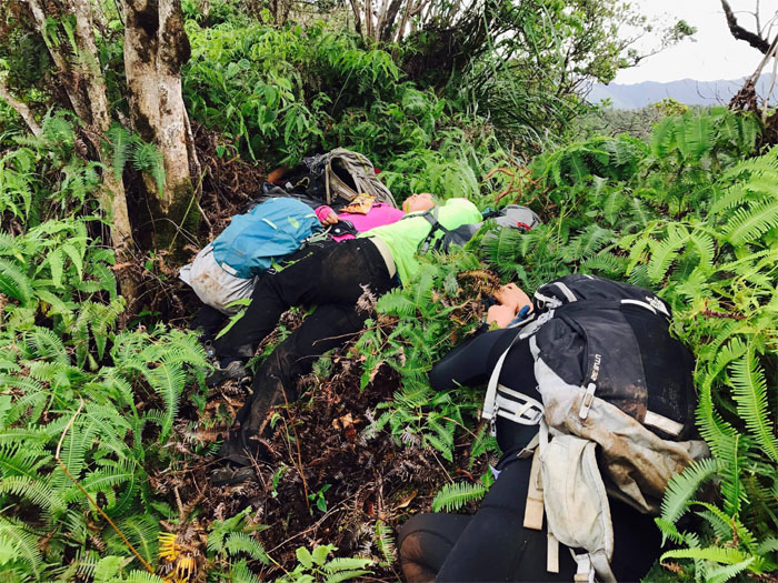
Approaching a homeless shelter?
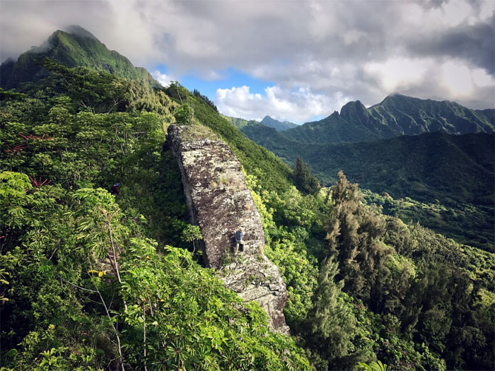
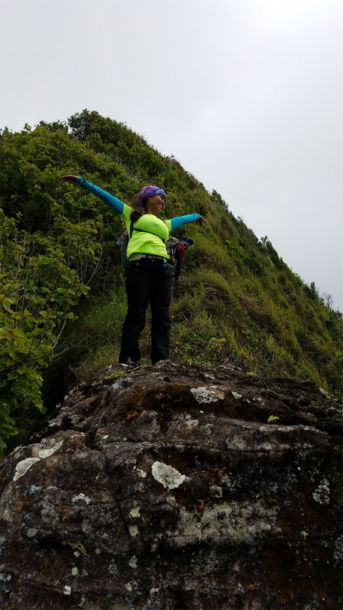
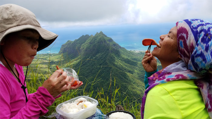
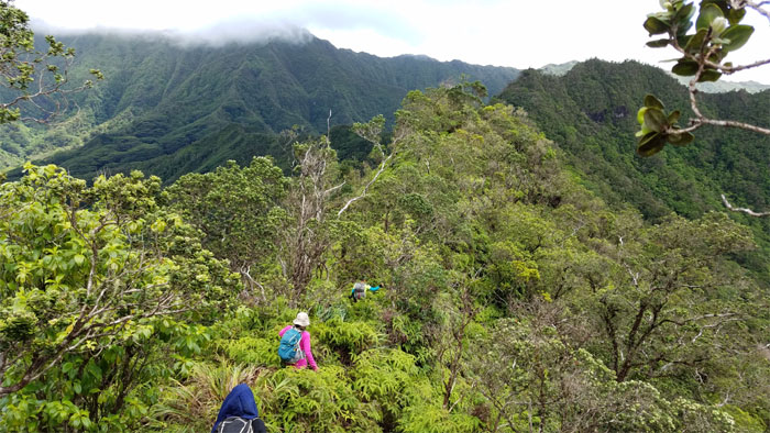
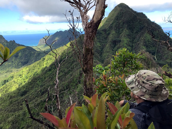
Pride Rock
Bucket loads of hikers and tourists make the short hike up to this rock, to gaze upon … Photo by Chris Bautista.
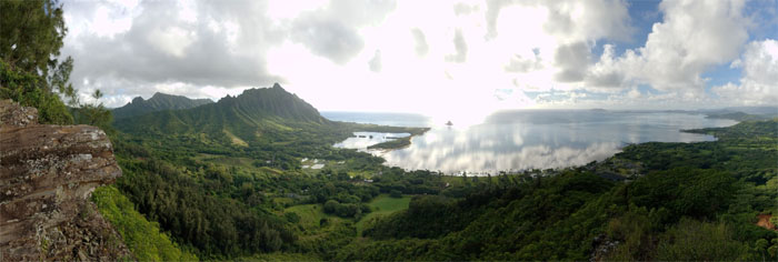
Pride Rock
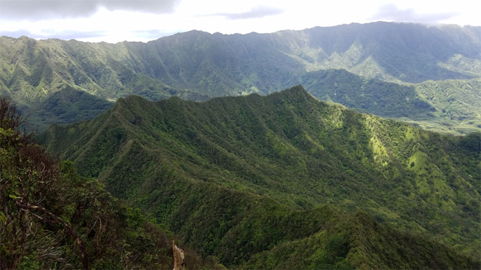
… the stunning scenery of lush valleys, topped by rugged peaks and shimmering glassy waters.
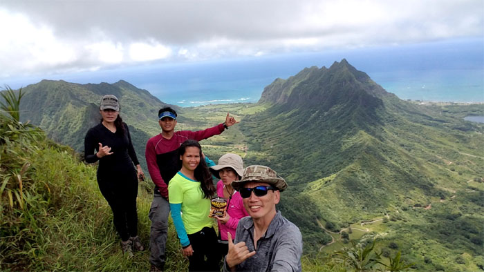
Pride Rock
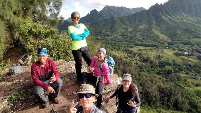
Group photo left to right: Chris, Lee, myself, Mia and Yoly.
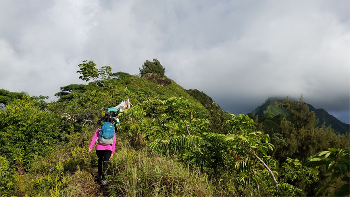
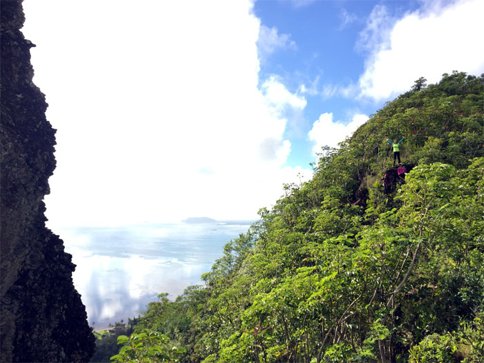
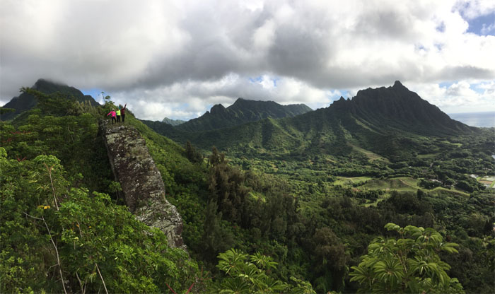
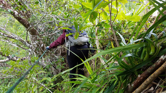
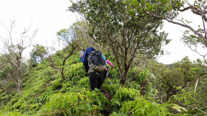
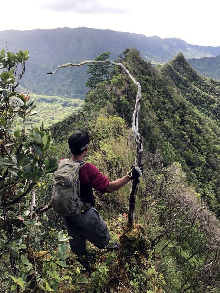
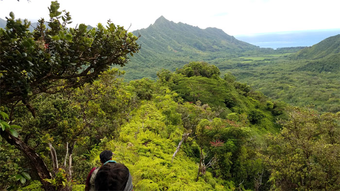
Southeast Ridge
Proceeding past the tourist scenic spot. Photo by Chris Bautista.
Southeast Ridge
Approaching our second dike of the day.
Southeast Ridge
Hello there! Photo by Chris Bautista.
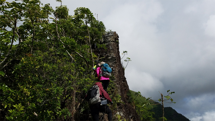
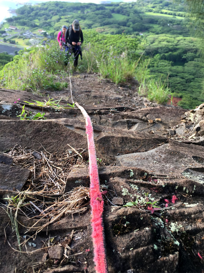
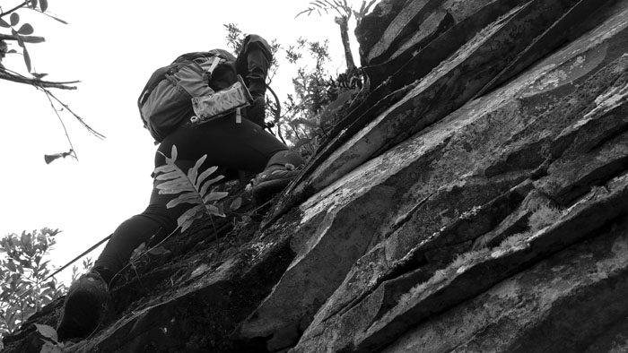
Southeast Ridge
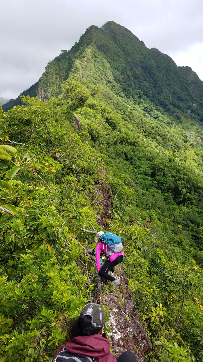
Climbing up the dike that keeps the encroaching overgrowth at bay.
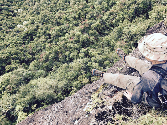
Southeast Ridge
Dangling legs above the treetops. Photo by Yoly Bedford.
Southeast Ridge
Lee coming down the dike. Photo by Chris Bautista.
Southeast Ridge
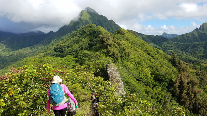
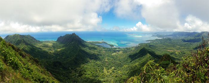
Looking out towards the three peaks of Ohulehule, Manamana and Kanehoalani.
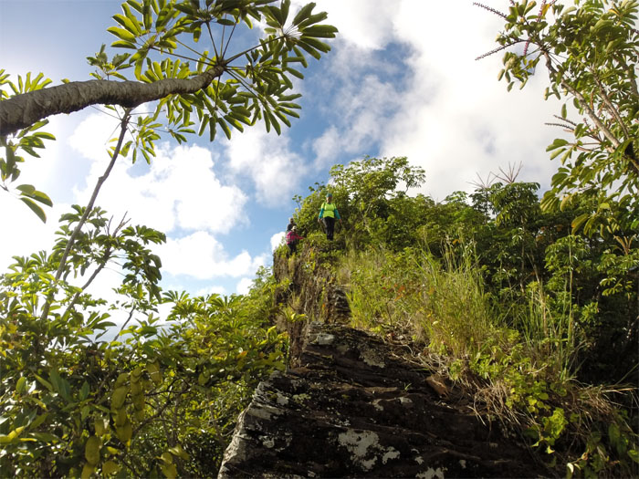
Southeast Ridge
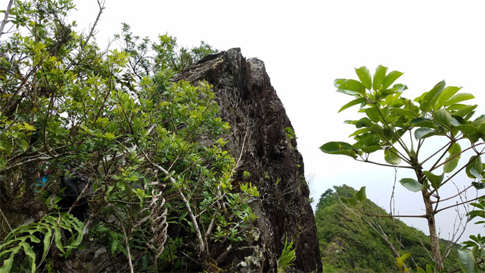
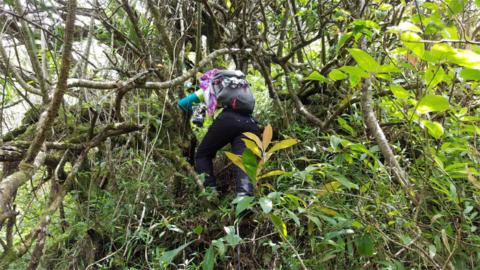
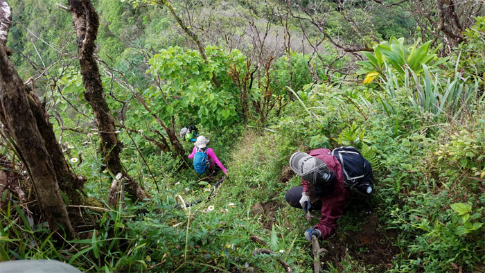
The exposed rock ridge served as a firebreak lane through the suffocating overgrowth.
Southeast Ridge
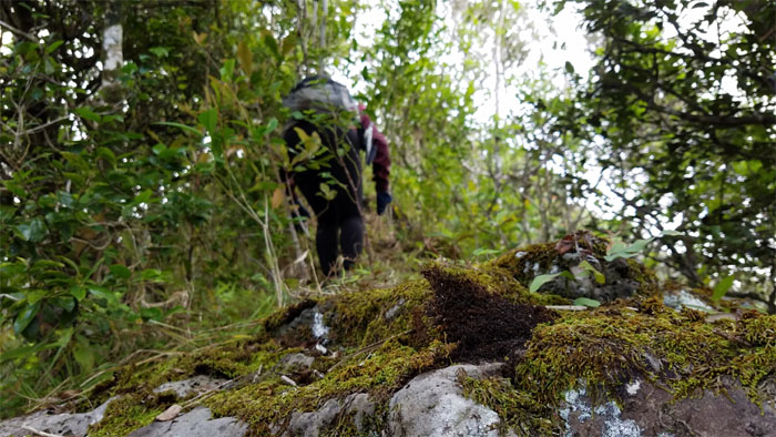
Churning the moss covered landscape.
Southeast Ridge
To climb or to contour the looming dike?
Southeast Ridge
How do I climb up this thing? Photo by Yoly Bedford.
Southeast Ridge
Hiker see, hiker do.
Southeast Ridge
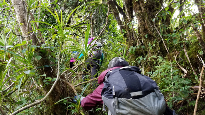
Mia, Lee and Yoly; three monkeys on the dike. Photo by Chris Bautista.
Southeast Ridge
We contoured to the left of the dike as the pitch of the ridge became more pronounced.
Southeast Ridge
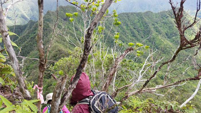
Capturing the views now in case we lost them at the top.
Southeast Ridge
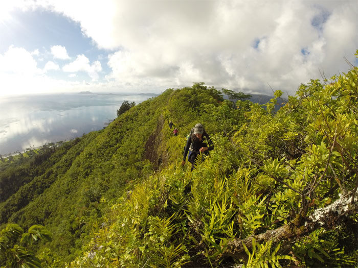
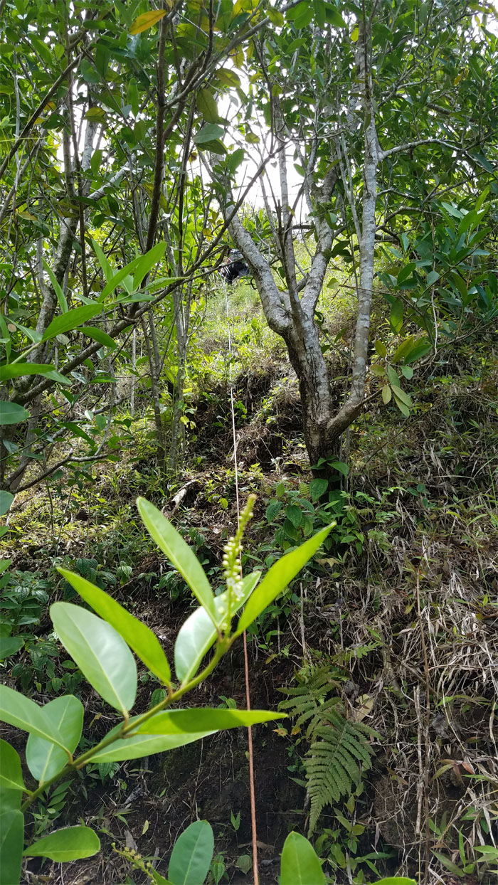
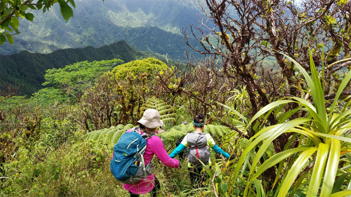
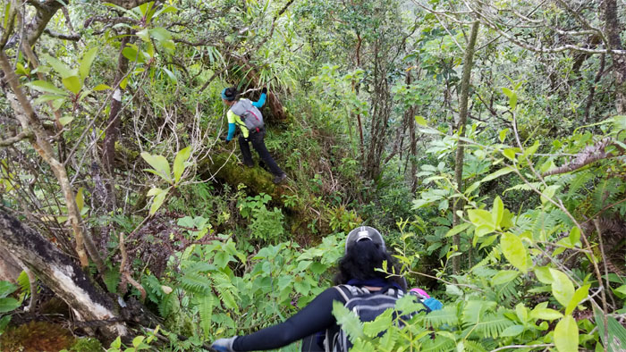
Yoly following the rope through the thick overgrowth.

Southeast Ridge
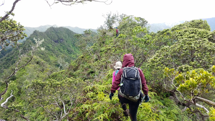
Climbing on the more exposed Windward side of the ridge.
Southeast Ridge
We had to climb over, under and through the thicket of trees that populated the ridge.
Southeast Ridge
At last, free of the overgrowth!
Southeast Ridge
Spoke too soon.
Southeast Ridge
Using trees, roots, vegetation and the occasional rope to climb up.
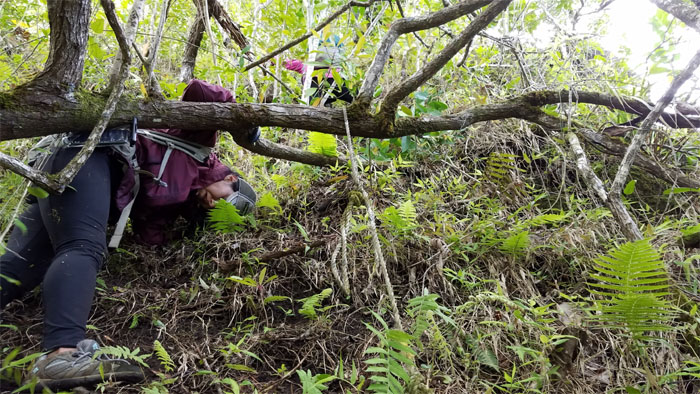
Southeast Ridge
Barreling and brushing past through the overgrowth.
Southeast Ridge
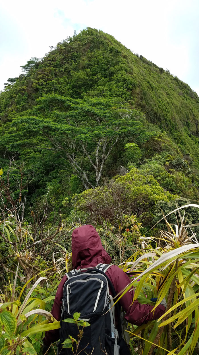
Pushing up the last major climb to the summit.
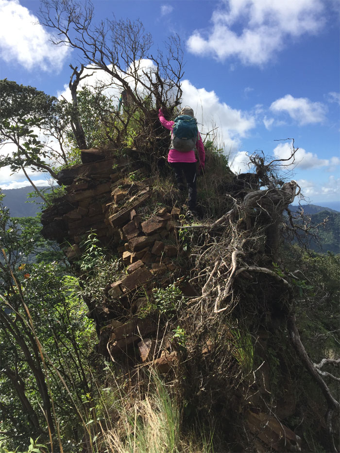
Pu’u Ohulehule
When you’re hungry, two twigs will double as chopsticks.
Pu’u Ohulehule
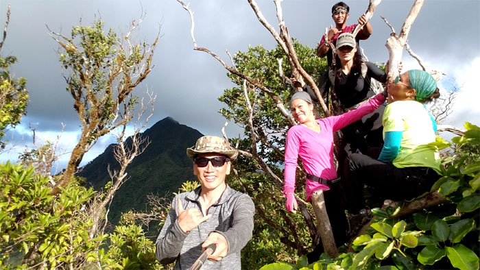
Group photo at the 2,228′ summit.
Pu’u Ohulehule
Sweeping views from the top.
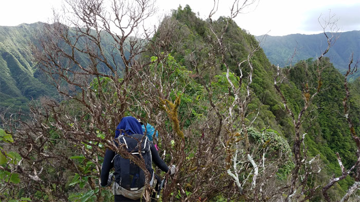
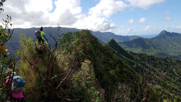
Northwest Ridge
Once the multiple photo shoots were done, we took our leave of the summit.
Northwest Ridge
Looking ahead to the saddle that will connect us to our final summit destination.
Northwest Ridge
Climbing down the steep descent.
Junction
Taking the trail less trampled as we detoured off the ridge.
Saddle
The overgrowth on the Southeast was tame compared to this section. It was uluhell quicksand.
Saddle
Exhausted and spent on the trail. Photo by Yoly Bedford.
Saddle
Treading carefully on the insane and unchecked overgrowth that masked the many false drops on the ridge.
Saddle
This ridge was sorely in need of a trail clearing.
Saddle
Threading our way through the brittle and decaying ohia trees.
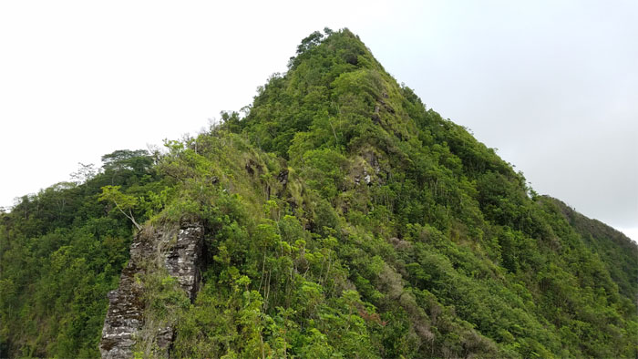
Pu’u Koile
Looking back at Pu’u Ohulehule from the 1,613′ summit. Photo by Yoly Bedford.
Saddle
Chris looking out to Pu’u O Kila. Photo by Lee Shreve.
Saddle
The saddle has become demonstrably more eroded from our last visit. Dirt and rocks became dislodged with each step that we took on certain sections. It was like playing Jenga on the mountains.

Saddle
Yoly making her way down the crumbling and shifting pile of dirt and rocks. Photo by Chris Bautista.
Saddle
Looking out towards the peaks of Piei and Manamana overlooking Kahana Valley. Photo by Chris Bautista.
Saddle
The sound of music was singing in the mountains. The earth was moving below us, and it wasn’t from that kind of satisfaction. Photo by Chris Bautista.
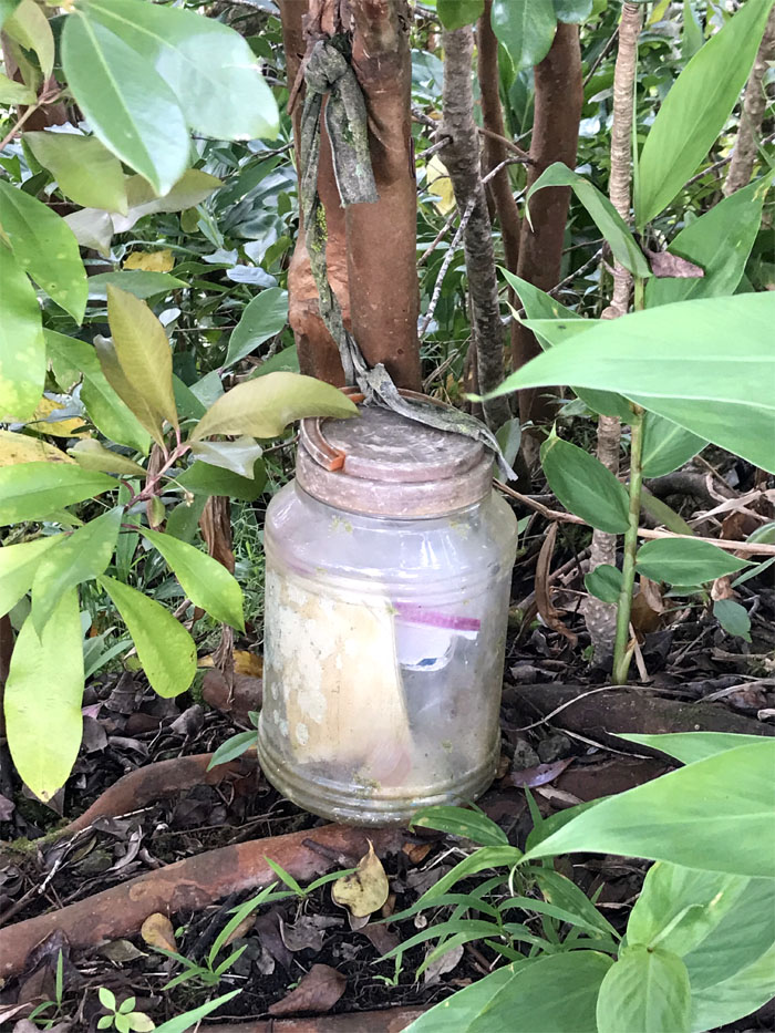
Pu’u O Kila
We scribbled today’s date and our names on the log in the jar and plopped down for a well deserved rest. Photo by Lee Shreve.
Pu’u O Kila
Group photo at the tree trimmed 1,520′ summit.
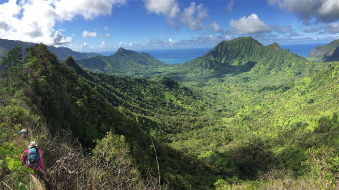
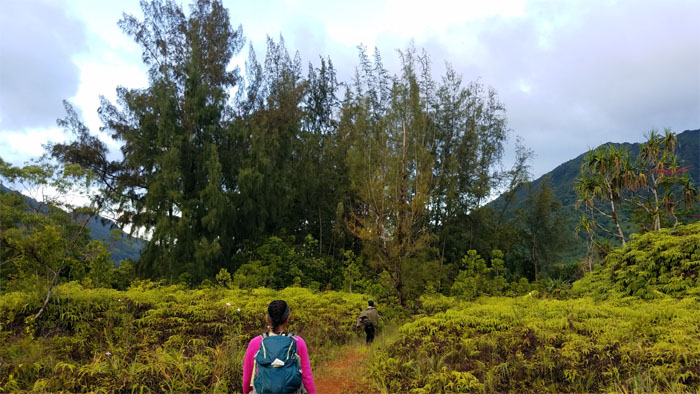
Kahana Valley
Dropping down from the studio sized summit.
Kahana Valley
Enjoying the views of Pu’u Manamana and True Manamana on our way down.
Kahana Valley
Following the river of uluhell downstream.
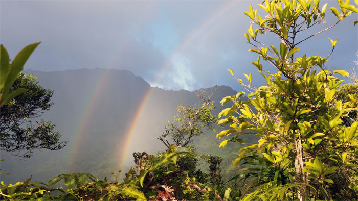
Kahana Valley
Double Rainbow.
Kahana Valley
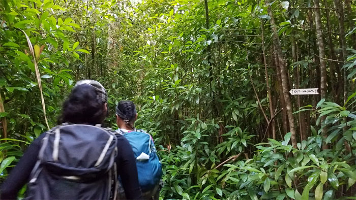
The group walking out the valley.
Kahana Valley
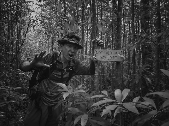
This is not the trail exit. Photo by Mia Garrison.
Kahana Valley
That’s the dam exit.
Kahana Valley
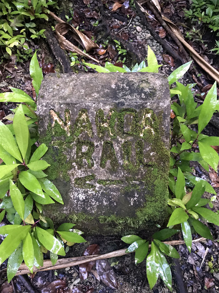
One of many trails that crisscrosses the wettest valley on Earth. Photo by Lee Shreve.
Kahana Valley
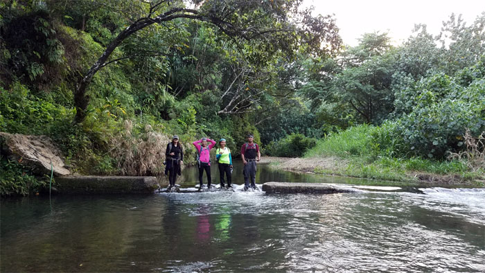
Damming the water for our group photo. Playing in the shallow end.
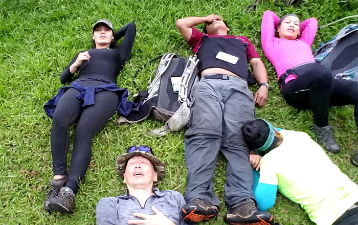
All pau
Group photo at the end of our bone crushing, exhausting but soul lifting hike.
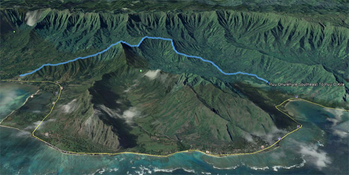
GPS Tracks
Our hardscrabble hike registered only six miles of punishing overgrowth and crumbly ridges. Is the GPS tracking working? Really, that’s all? Great hike with a fun crew. Texting instructions for Pizza Hut. Post hike meal at Zippy’s. This is becoming a habit. Local habit.
Note: I have been made aware the some hikers have been using my blog as a hiking guide and getting lost on the trails. Please note that this blog was made to document the hike for the crew(s) that did it. That is why some of my comments will seem to have no relevance or meaning to anybody outside of the crew(s) that hiked that trail. My blog was never meant as a hiking guide, so please do not treat it as such. If you find inspiration and entertainment from these hikes, that is more than enough. If you plan on replicating these hikes, do so in the knowledge that you should do your own research accordingly as trail conditions, access, legalities and so forth are constantly in flux. What was current today is most likely yesterdays news. Please be prepared to accept any risks and responsibilities on your own as you should know your own limitations, experience and abilities before you even set foot on a trail, as even the “simplest” or “easiest” of trails can present potential pitfalls for even the most “experienced” hikers.
{ 3 comments… read them below or add one }
Aloha Chris!
Thank you for blogging this amazing hike!! Love the photos, looks like an adventure for sure!
Just wondering if you could tell me how far up is Pride Rock, distance and time it took (the beginning of the hike, I heard it’s on the Waikane end). I’m planning to do this soon.
Mahalo,
Cheryl
I’m sorry, the email i sent i address to “Chris”, I meant to say Kenji.
Aloha Cheryl,
Thanks for taking an interest. The hike to pride rock is roughly half an hour, so it’s quite a short little jaunt. Have fun.
Mahalo