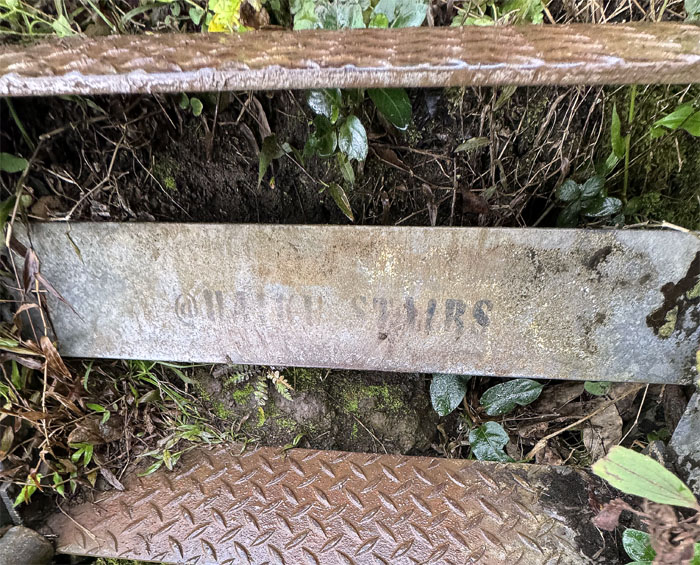
The original plan was to head West, but with the impending demise of the iconic stairs, some in the group wanted to visit it for one last time.
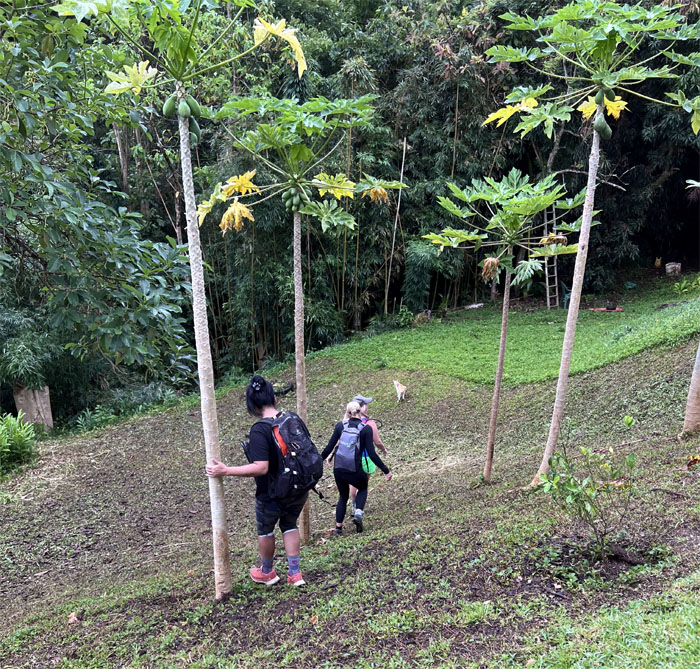
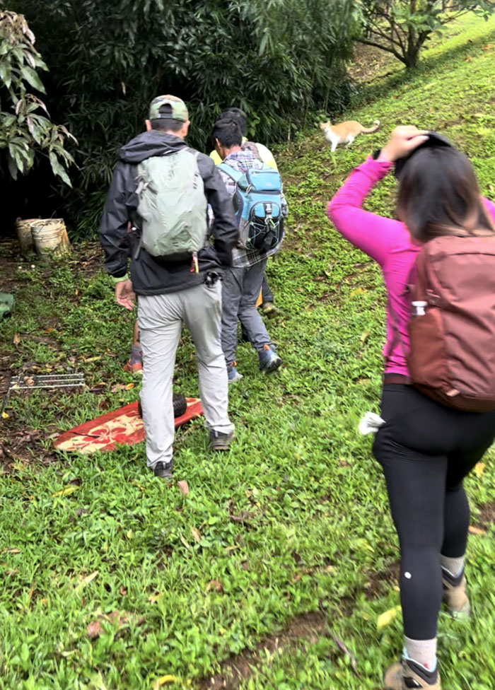
We all gathered at Allison’s place, some had a bite of pizza to eat and then shook the papaya trees on our way down the hill. Just needed some chickens and moringa leaves to round out the pot.
Jasper seeing us off on the trail.
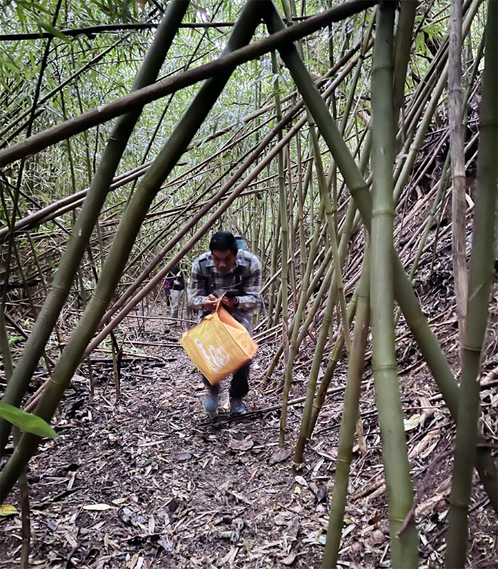
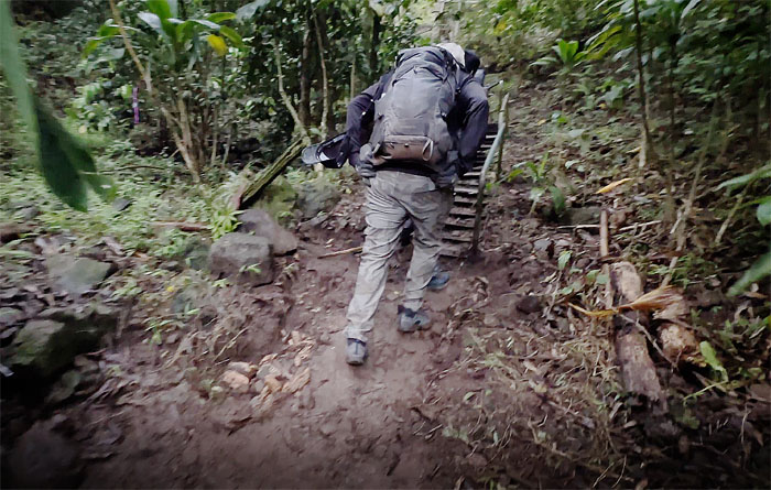
Who brings a bag to the hike? Must be his superhero costume packed inside.
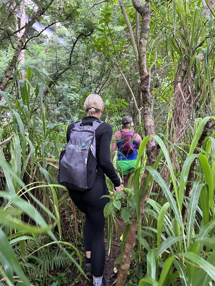
Leaving the relative obscurity of the bamboo forest as we made our way out.
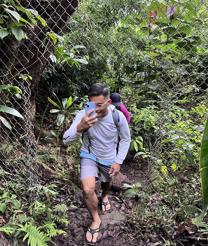
Somebody would rather do the photographing instead of being the one photographed as we hit the access road.
Walking on the road less traveled. We hope.
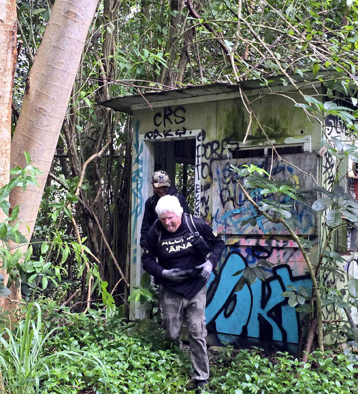
Can you smell that? Is that Cheech and Chong near the abandoned shack?
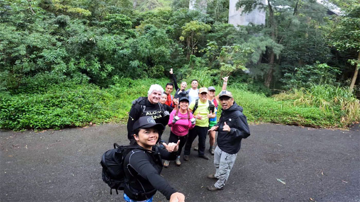
Group photo under the shadow of the H3 highway at the entrance to the stairs.
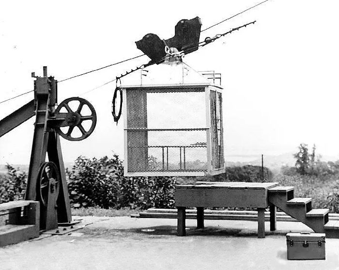
Workers used to ride in this cable car to the peak, climbing Haiku Ladders was not the preferred option. Photo taken by Dave Jessup, Ted Urquhart, and John Flanigan.
Is that a welcome sign greeting us?
Who needs hiking shoes? Not Darryl. No socks to wash.
The first stair module had already been removed by Nakoa Companies in preparation for the eventual dismantlement of the entire stairs.
Circumventing around the structure which was invented by Charles Barnard in 1844.
The rest of the group making their way around the chain link fence and slippery rocks.
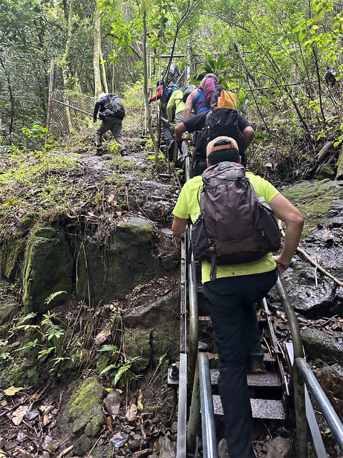
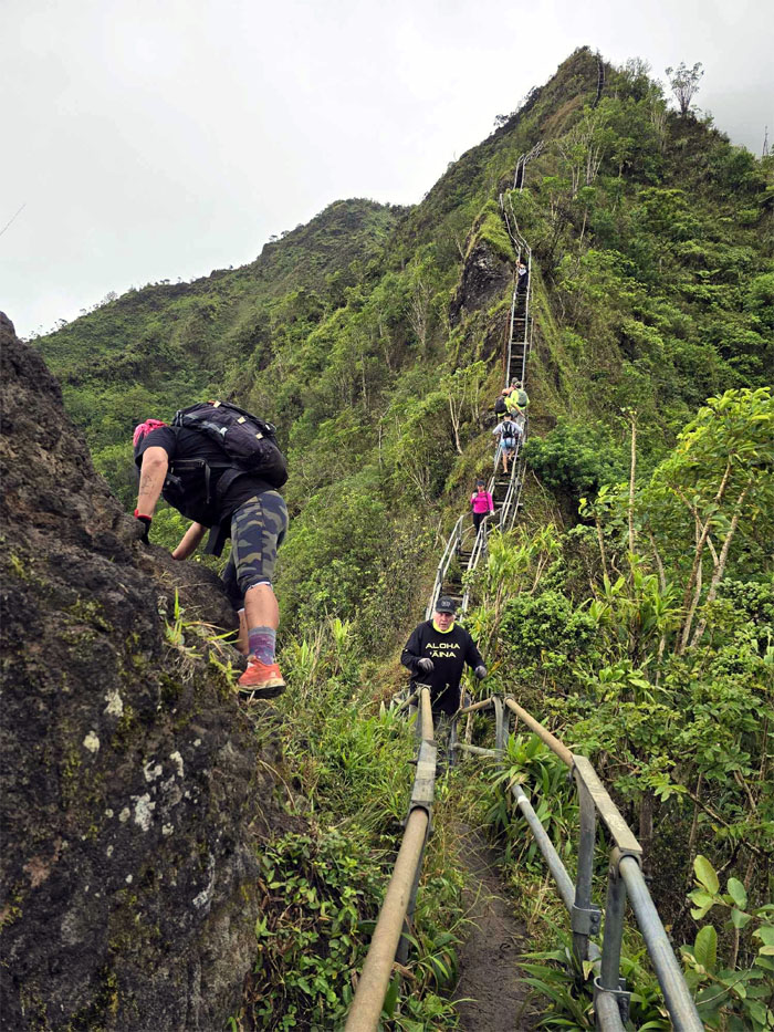
Going up the longest incline stretch of the stairs. Following in the footsteps of Bill Adams and Louis Otto, the Navy sailors who pioneered the route and climbed to the peak in 21 days back in 1942.
Hikers practicing proper trail etiquette.
We ran across Aileen, Haig and Lennard who had climbed up earlier to bear witness to a denied sunrise.
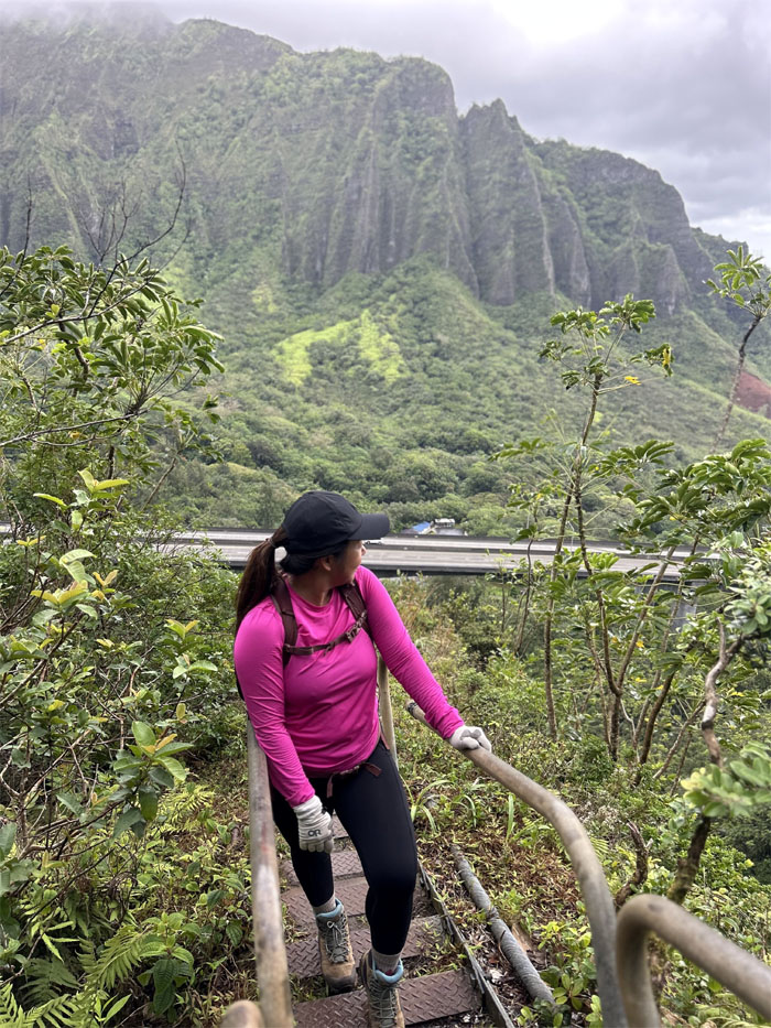
Mona looking back towards the ridge that is home to Stairway to Hell.
Allison navigating through the twisted sister section of the stairs that was damaged in a landslide back in February of 2015. The death of the stairs was greatly exaggerated by the fourth estate.
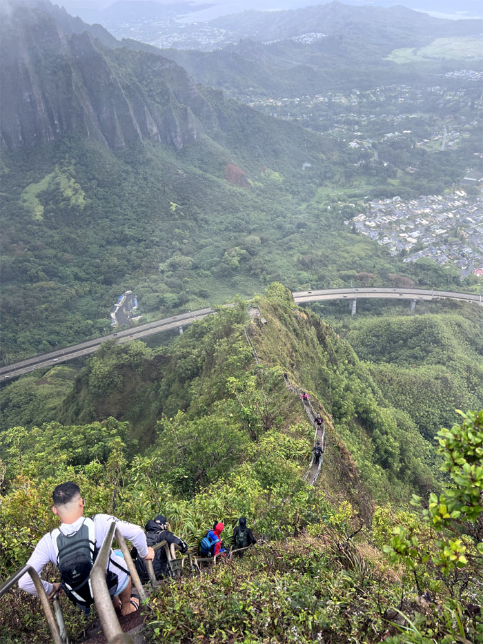
Akira and Sandra with the backdrop of the H3 highway as it disappears into the Ko’olau Mountains. The Tetsuo Harano tunnels are 4,980′ long Kaneohe bound and 5,165′ Halawa bound.
A day late and a dollar short. One is supposed to stretch before the hike. Better late than never.
What’s that saying? “In a group, you only need to be faster than the slowest one to escape.”
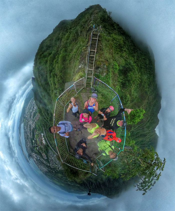
Group photo on the first platform.
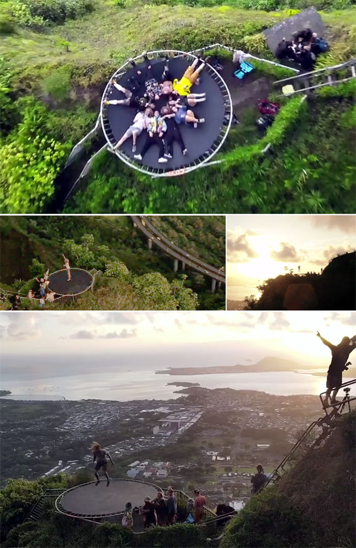
Back in 2020, a group over several days carried and assembled a trampoline on the first platform. While they got a lot of heat for it, nobody was hurt and it was all taken down the same day. No fuss, no muss.
Tessa climbing down so that others may get their 15 minutes of IG fame.
Chico on Profile Rock.
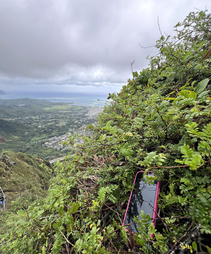
Anybody missing a phone?
One of the last known sightings of the endemic Lobelia gaudichaudii or Ko’olau Range lobelia circa 2011. A survey conducted in 2018 concluded that none of the woody shrubs no longer existed in the area. Photo provided by Sean Pager, Friends of Haiku Stairs.
Practicing for when the stairs will no longer be here.
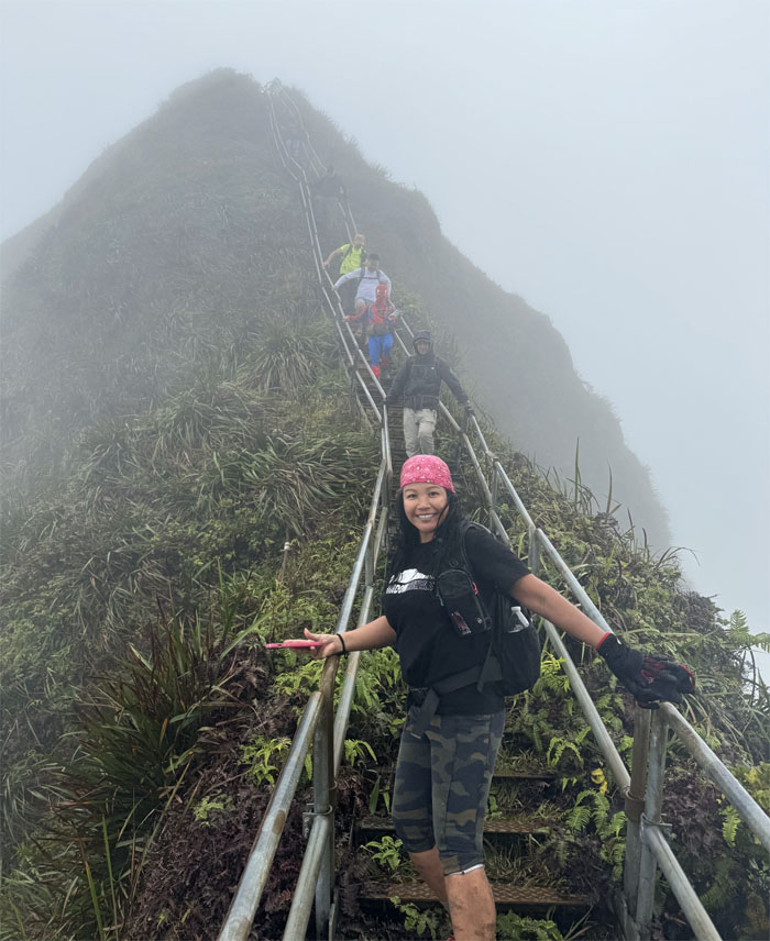
Climbing our way to heaven.
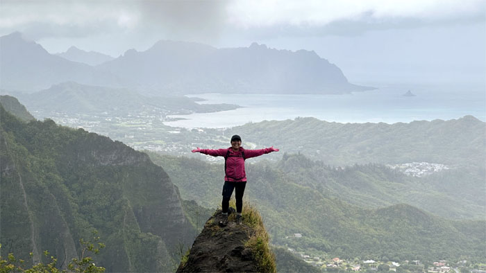
Enjoying the expansive views while we can.
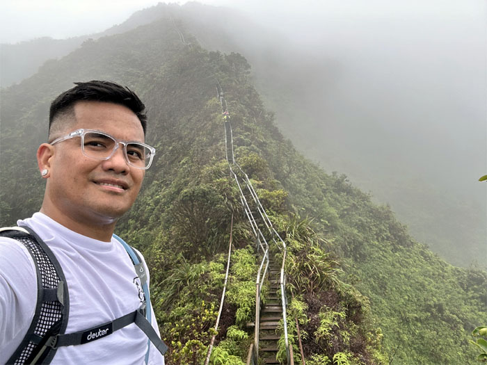
People perceive that you have a good chance of having a higher IQ when seen wearing glasses. However, without the lens, the pendulum swings the other way.
Passing Chris on his way down the stairs. He had come up from Moanalua Saddle as he preferred hiking the safe route.
Sandra at the top of the next platform.
Hello from the next ridge over! Akira and I decided to check out the thin ridge which could have used a set of stairs.
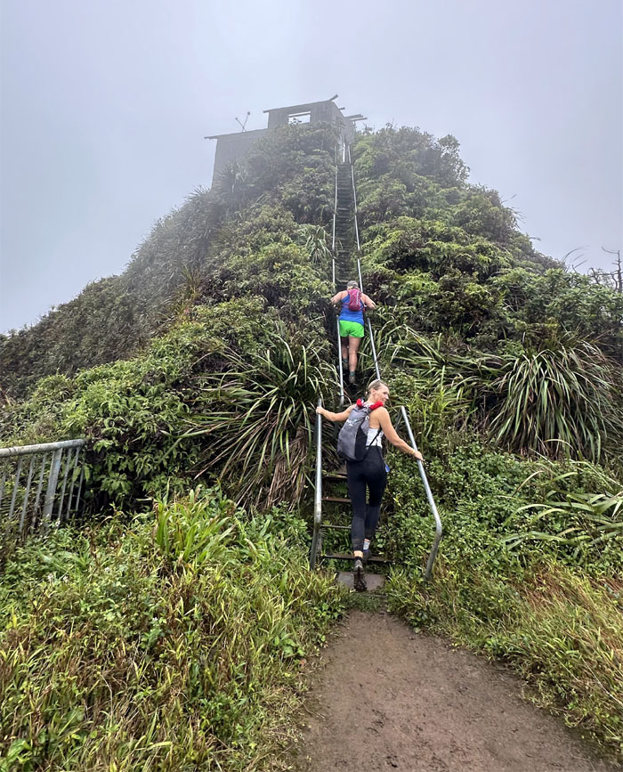
Going up the short flight of stairs to the Hoist House.
This one is off the Scoville chart.
Never stop exploring. Ridge for another day.
Outside looking in.
Inside looking out.
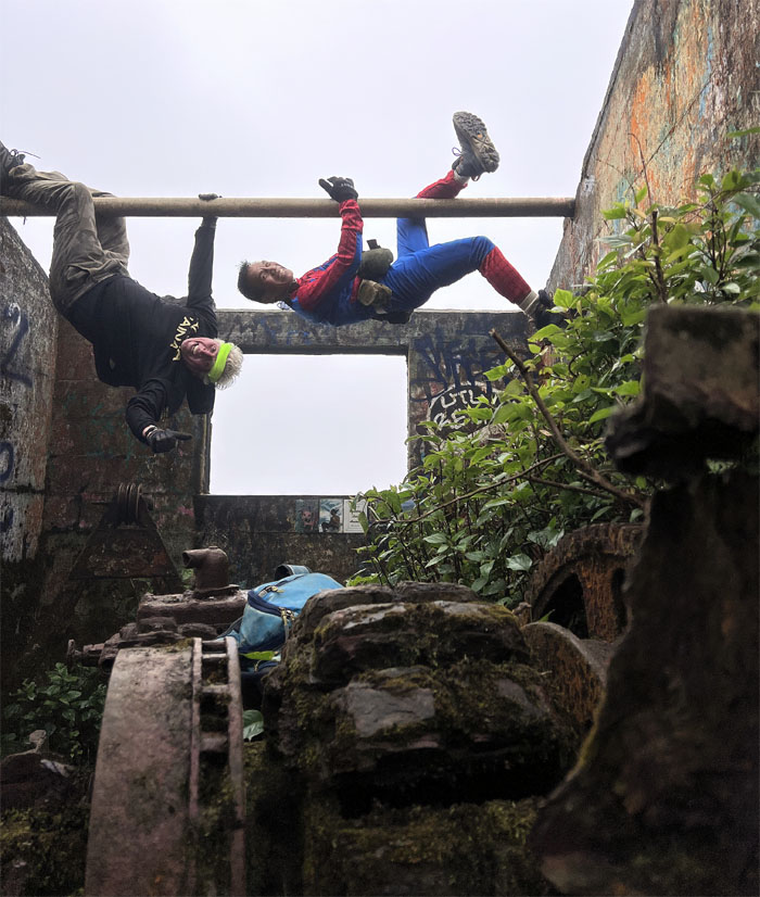
There were not any available trees to climb, so the boys made do with what they had on hand.
Akira climbing over the roofless shelter.
How the structure looked back in the day. Photo taken by Dave Jessup, Ted Urquhart, and John Flanigan.
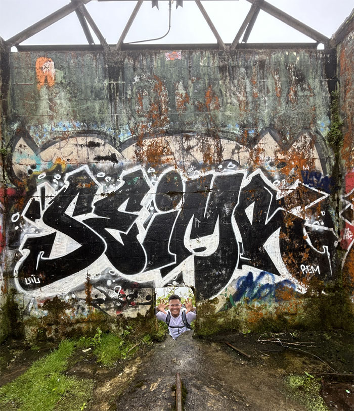
Leaving the graffitied building behind us.
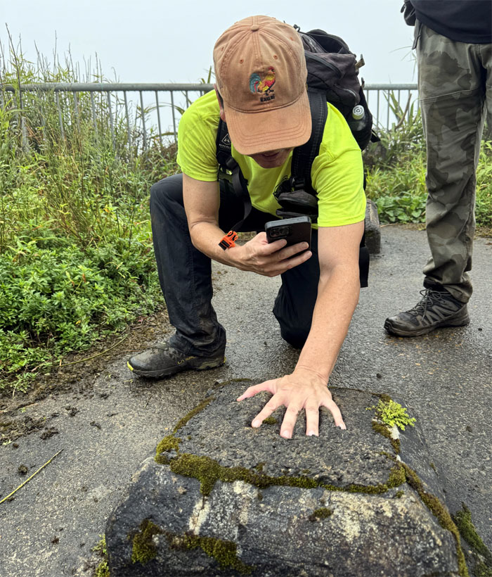
Have big hand to fill.
Foot not big enough either.
The original stairs known as Haiku Ladder, was constructed out of wood and later replaced by galvanized metal in 1955. Some of the original wood ladder sections are still scattered at the bottom of the hill. The Navy maintained the radio site from 1943 to 1970 and then it was reconfigured as part of the OMEGA radio navigation system from 1971 to 1997 and managed by the Coast Guard, where it was eventually shut down due to the advent of GPS which rendered the OMEGA system obsolete. The City acquired ownership in 1997 and spent $875,000 to fix the stairs in 2002 to eventually open it up to the public. However; the issues of access, trespassing and liability stalled any chances of opening the hike to the public. The Honolulu City Council voted unanimously in 2021 to remove the stairs after decades of misinformation, neighborhood complaints about trespassing hikers, lobbyists using their influence, multiple landowners that failed to come to a consensus and nobody wanting to take ownership of the stairs. The powers that be just wanted the “problem” to go away. Mayor Blangiardi announced in April of 2024 that Nakoa Companies was awarded a $2.6 million contract to take down the entire stairs. The same company that fixed the stairs in 1997 and took down the swing in 2016. Something finally happened, but not in favor of the hiking community. Photo taken by Dave Jessup, Ted Urquhart, and John Flanigan.
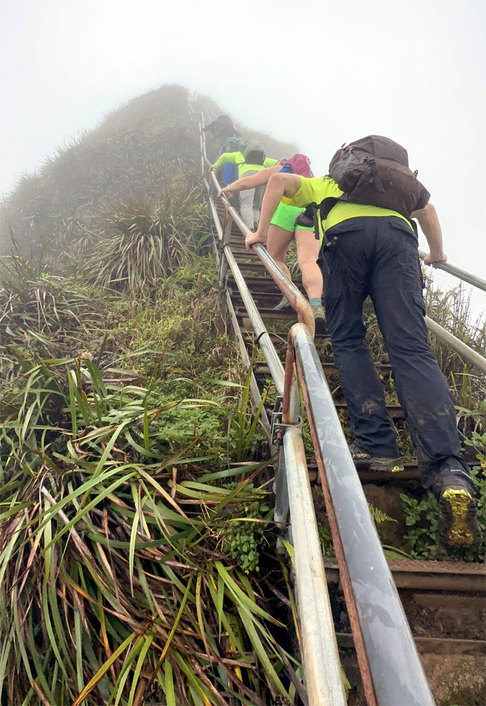
Climbing up the last steep section.
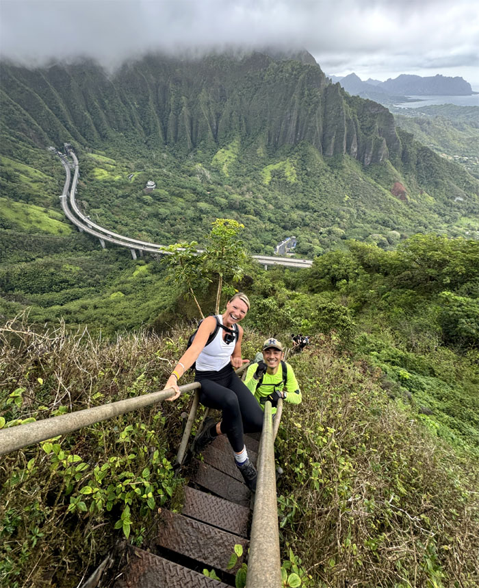
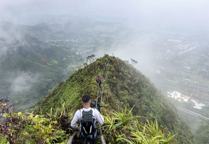
Looking down at the rest of the group making their way up.
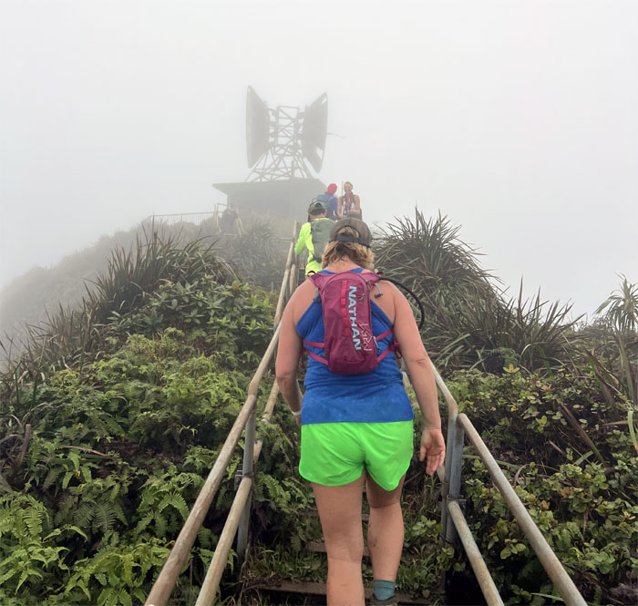
Approaching the CCL (Communications Control Link) Building and the terminus of the 3,922 steps. The count is actually less due to people taking steps home as souvenirs.
Chris coming back up from the stairs.
Somebody had constructed a chain swing between the two poles at the summit circa 2015, however, due to a viral video in 2016 that showed a hiker slipping from the seat and dangling near a seemingly precipitous drop, which was just camera angles, the city swiftly took down only the poles the next day as an intrepid group of hikers had earlier taken down the swing. Urban legend has it that the swing is sitting in somebody’s yard.
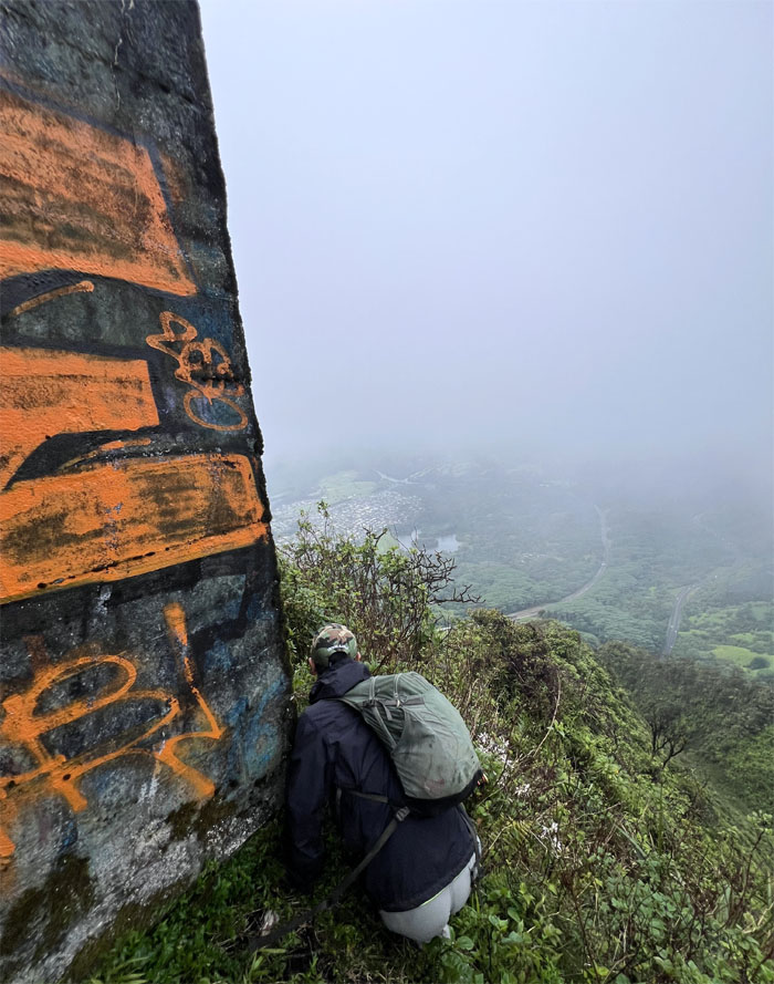
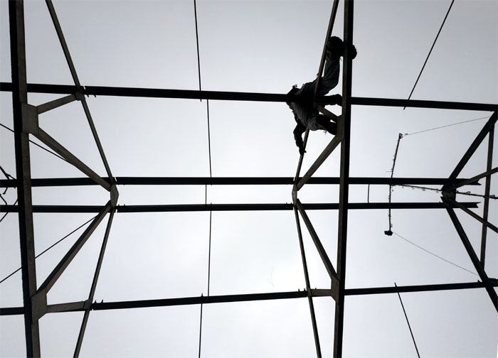
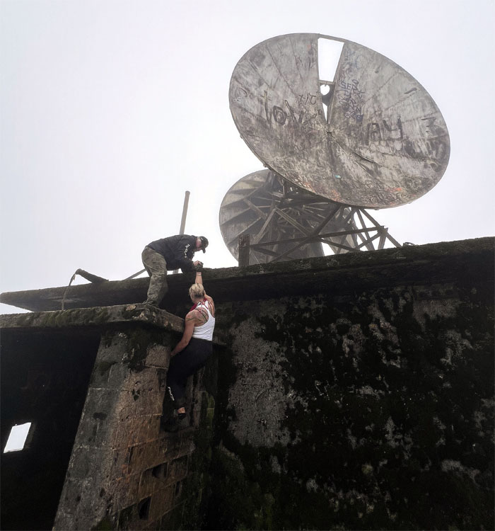
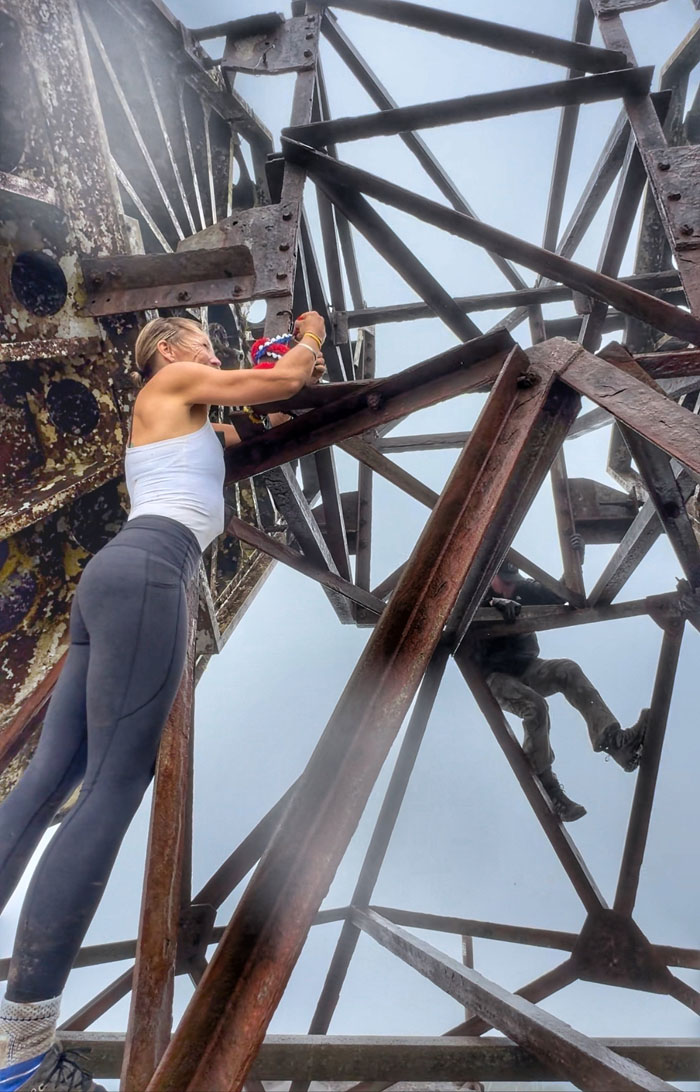
Three of us decided to climb up to the moss slicked concrete roof that are home to the now defunct microwave antennae.
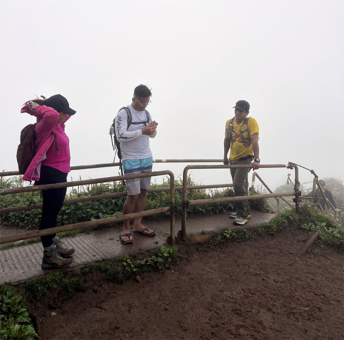
Sandra wanted to leave a lei on the antenna structure as the winds and rain shook and swept the area.
Rain soaked view of the top of the structure.
The rest of the group had retired to seek refuge from the sweeping rain showers as the unmasked hero cooked banana lumpia for us.
Champagne and Banana Lumpia at the summit. Where’s the Coke?
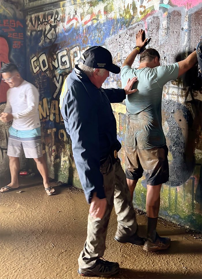
Some tourist was being frisked and somebody was being frisky. Hey, I thought that was Spider-Man’s job!
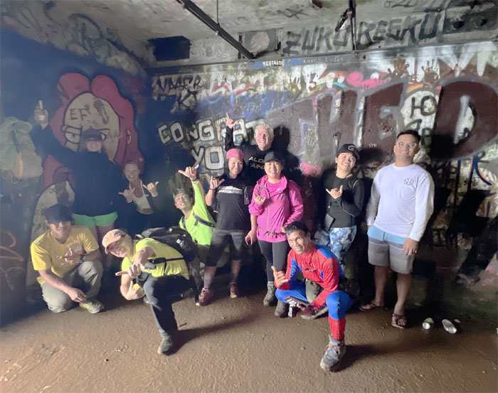
Group photo inside the structure. Spasiba!
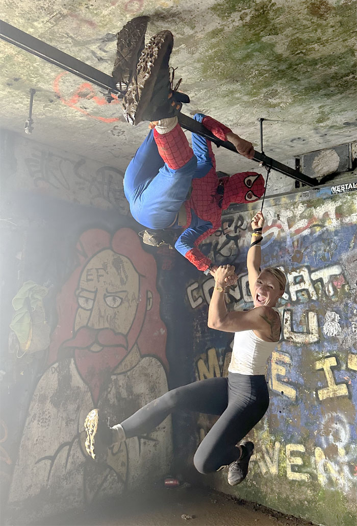
Back in the day, the building housed equipment that provided emergency communication back-up for the ground link with Pearl Harbor, Ford Island Naval Air Station, Wahiawa Naval Radio Station and Lualualei Naval Radio Station. Now, Spider-Man uses it to hang out with his friends.
Our group photo at Stairway to Heaven at 2,820′ elevation.
The stairs gained even more publicity when it was featured in the Magnum PI episode “J. “Digger” Doyle” that aired back in 1981. The 15 minutes of fame is probably what lead to the decision by the US Coast Guard to shut it down in 1987 after the stairs were trashed and vandalized.
Back outside to play in the rain as we made our way back down.
Goodbyes are always hard. For some, harder than others.
Coming down the cloud and rain soaked Stairway to Heaven.
Approaching the Hoist House on our way down.
Descending down the stairs as we dropped in elevation and gained the views back at the expense of the clouds.
By some conservative estimates, thousands of hikers make the climb up and down the stairs annually. Despite erroneous claims that the stairs are dangerous, there has never been a single death on the stairs, except one person that died of a heart attack in 2012. According to HFD’s own statistics, 41 people needed to be rescued from the stairs during a period from 2010-2022. That averages out to three rescues a year. In contrast, Diamond Head in 2022 saw 40 rescues alone in just a year’s period.
Mona soaking in the views one last time? Perhaps.
One of the most asinine comments made by a local politician came from City Councilwoman Esther Kiaaina who stated in April 2024, that the removal of the stairs will restore the beauty of the scenery. “This is a manmade contraption on a natural valley,” said Kiaaina. “Restoring the valley and providing a natural setting so that people could remember what Haiku valley was.” Well, she might as well advocate for removing the major eyesores that have marred the beauty of the amphitheater valley and its surrounding areas. Namely, the homes and H3 highway to name a few. The saying “follow the money” to trace political corruption and influence rings true in this case. Of the five council members up for reelection in 2024, Esther Kiaaina collected the most money at about $79,000, according to her campaign filing. One has to wonder if any of her donors have a stake in the stairs removal? Enquiring minds want to know.
If GPS hadn’t made the OMEGA station obsolete in 1997, there would have been a steel mesh cage that would have covered the H3 highway through the valley. It was thought that the electromagnetic waves would interfere with anybody that had a heart pacemaker. Talk about timing, otherwise the valley would have looked completely different than it does today.
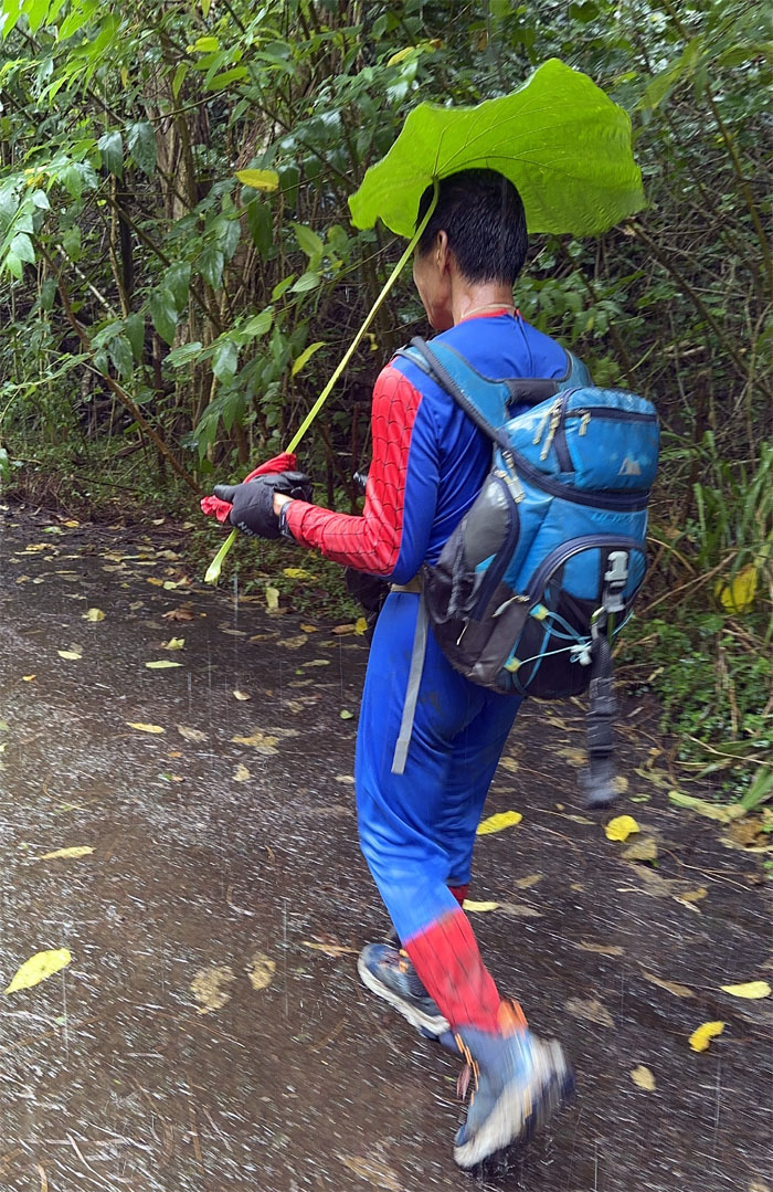
Walking back to our cars in the rain. Elephant ears optional.
Our up and down hike on one of the island’s most storied trails covered a little under three miles. Some in the group were hoping against hope that the stairs will be preserved for future generations. Has the final chapter be written on the stairs? Only time will tell. Post hike meal at Saito & Pho where East Asian meets Southeast Asian food.
Photos taken by Agnes Bryant, Akira Suzuki, Allison Banks, Chico Cantu, Chris Bautista, Daryl Cacatian, Ferlino Carinio, Monaliza Guillermo, Sandra Walter, Tessa Bugay, and yours truly. Not necessarily in order.
Note: I have been made aware that some hikers have been using my blog as a hiking guide and getting lost on the trails. Please note that this blog was made to document the hike for the crew(s) that did it. That is why some of my comments will seem to have no relevance or meaning to anybody outside of the crew(s) that hiked that trail. My blog was never meant as a hiking guide, so please do not treat it as such. If you find inspiration and entertainment from these hikes, that is more than enough. If you plan on replicating these hikes, do so in the knowledge that you should do your own research accordingly as trail conditions, access, legalities and so forth are constantly in flux. What was current today is most likely yesterdays news. Please be prepared to accept any risks and responsibilities on your own as you should know your own limitations, experience and abilities before you even set foot on a trail, as even the “simplest” or “easiest” of trails can present potential pitfalls for even the most “experienced” hikers. One should also always let somebody know of your hiking plans in case something doesn’t go as planned, better safe than sorry.






























{ 0 comments… add one now }