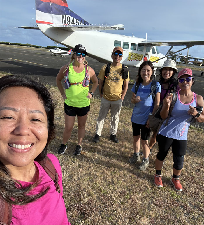
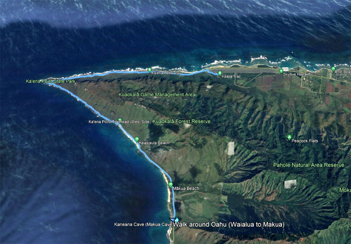
Met up with Aida, Allison, Mari, Mona and Tessa at Dillingham Airfield for our perimeter walk#7 around the island.
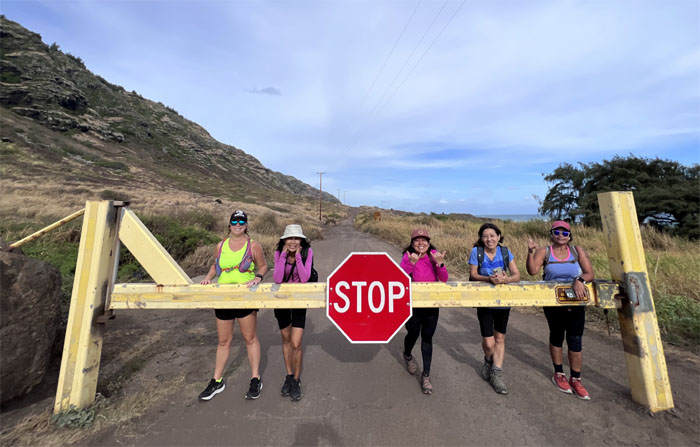
Group photo at missed opportunities.
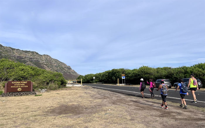
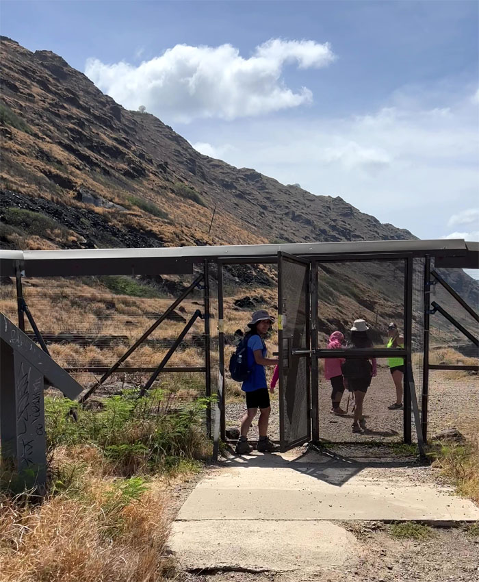
Entering the remote coastline park.
The team building rope course. Do we need supervision? Adult supervision?
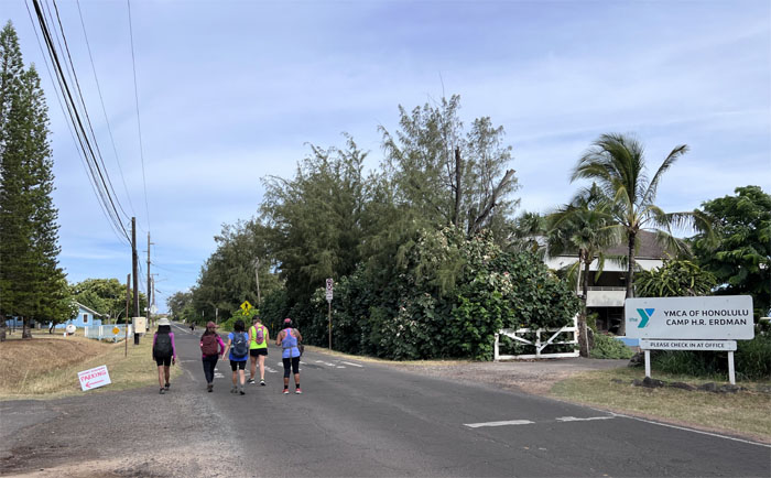
Passing by the YMCA camp that was built back in 1926.
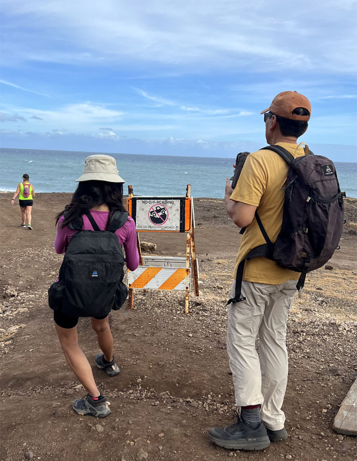
Entering the area that is restricted to 4×4 vehicles with free permits or 2×2 with no permits.
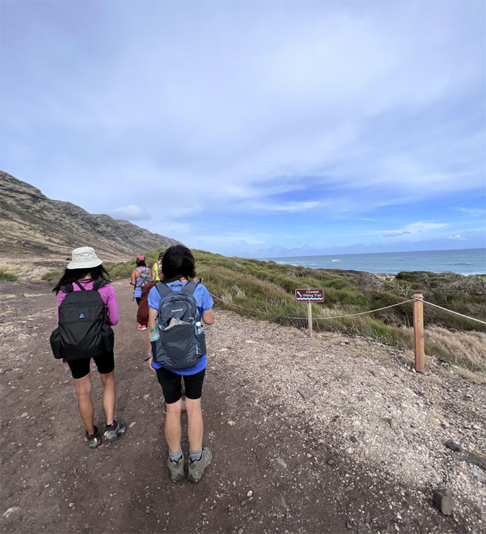
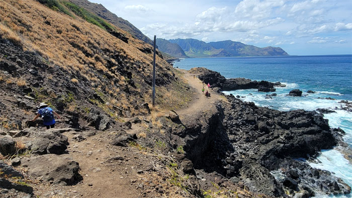
Allison suggested the scenic coastal trail instead of the monotonous jeep road. Good choice.
I’m glad we left our 4×4 trucks at home.
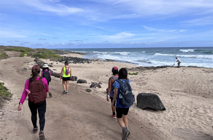
Passing fishermen on the sandy dunes.
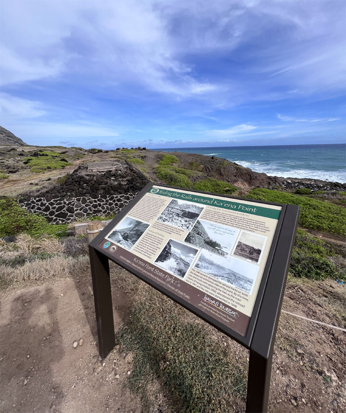
Looking at a train trestle, remnants from the narrow gauge railroad tracks that was built by the Oahu Railway and Land Company back in 1889.
Mona trying to look natural. Nothing worse than a forced pose.
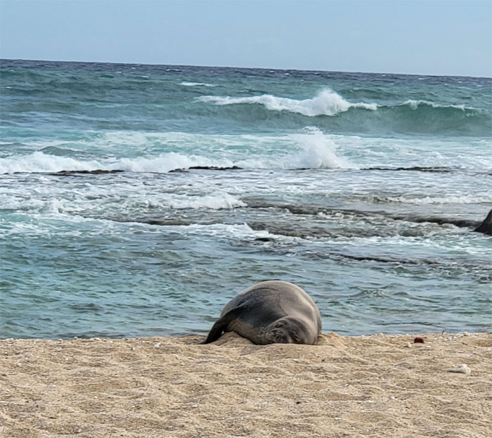
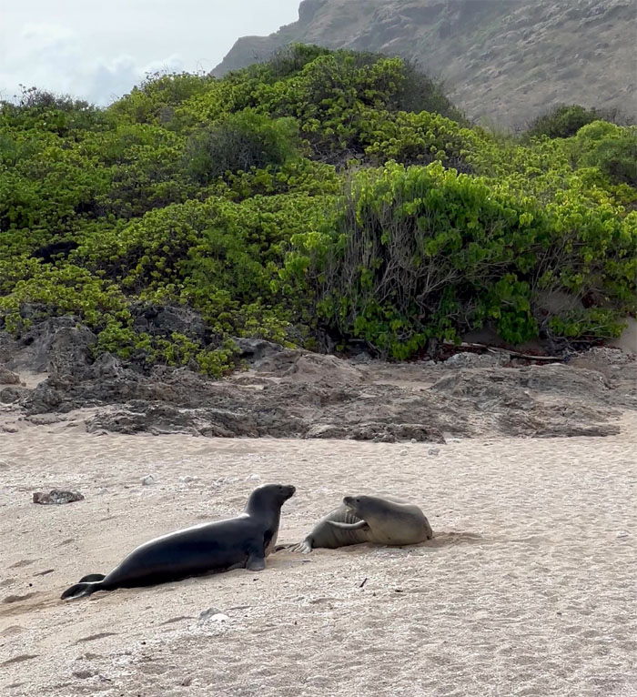
Hawaiian monk seal basking on the beach. These mammals are endangered and endemic to the islands. They got their name from their short hairs on their head which resembles a monk.
Somebody is not a morning mammal.
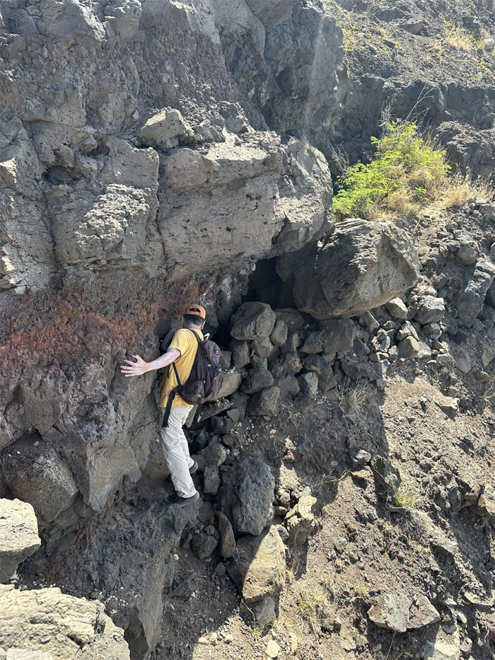
Going slightly off trail.
I think I can, I think I can, I think I can.
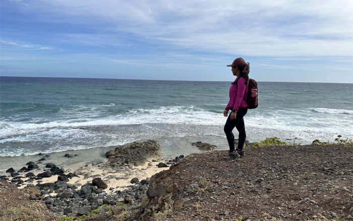
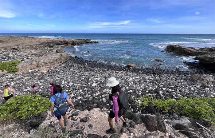
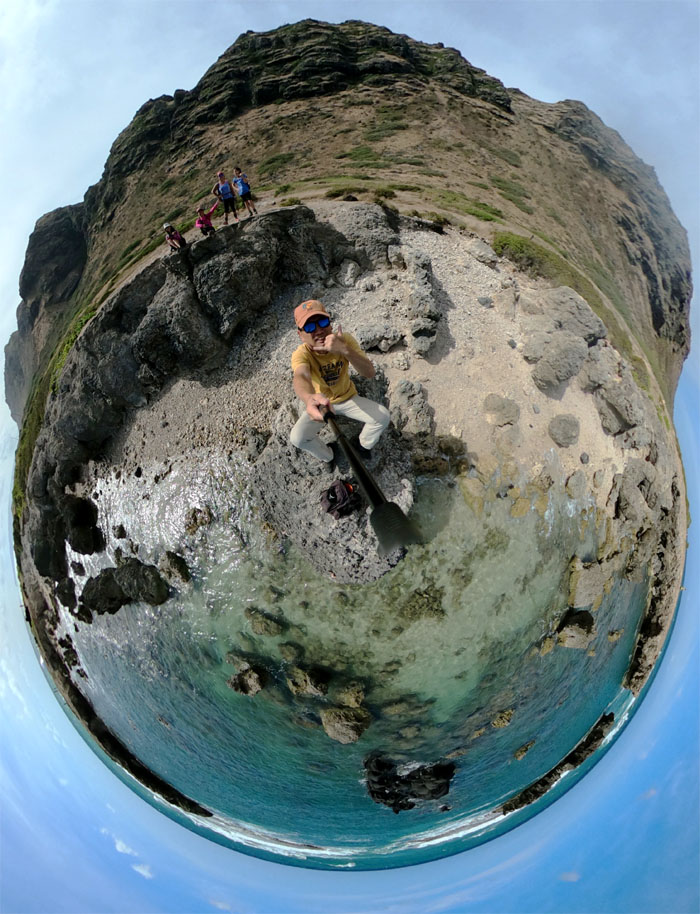
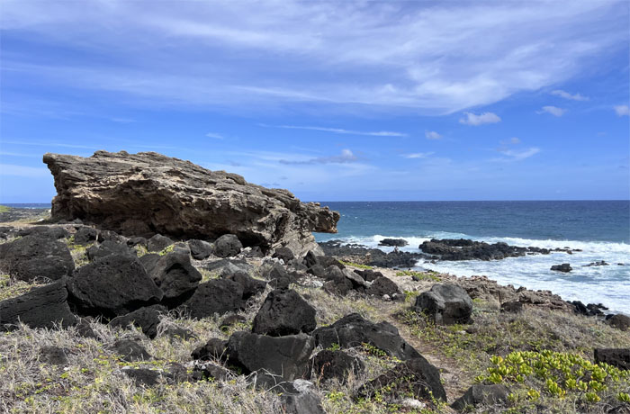
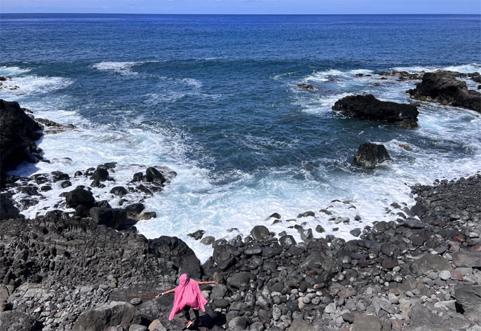
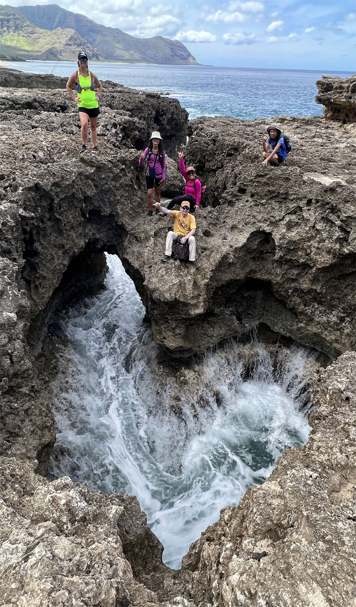
Passing a rocky cove where I was encouraged to climb down and stand on a spit of a rock. I’m easily manipulated.
360 degree photo of the rocky cove.
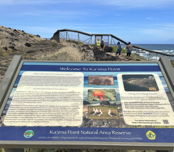
Entering the reserve that was established in 1983 to protect one of the last intact dune ecosystem in the islands.
Looking at what I believe is the Leina ka ‘Uhane rock, where recently departed souls would take the plunge into the ocean on their way to heaven.
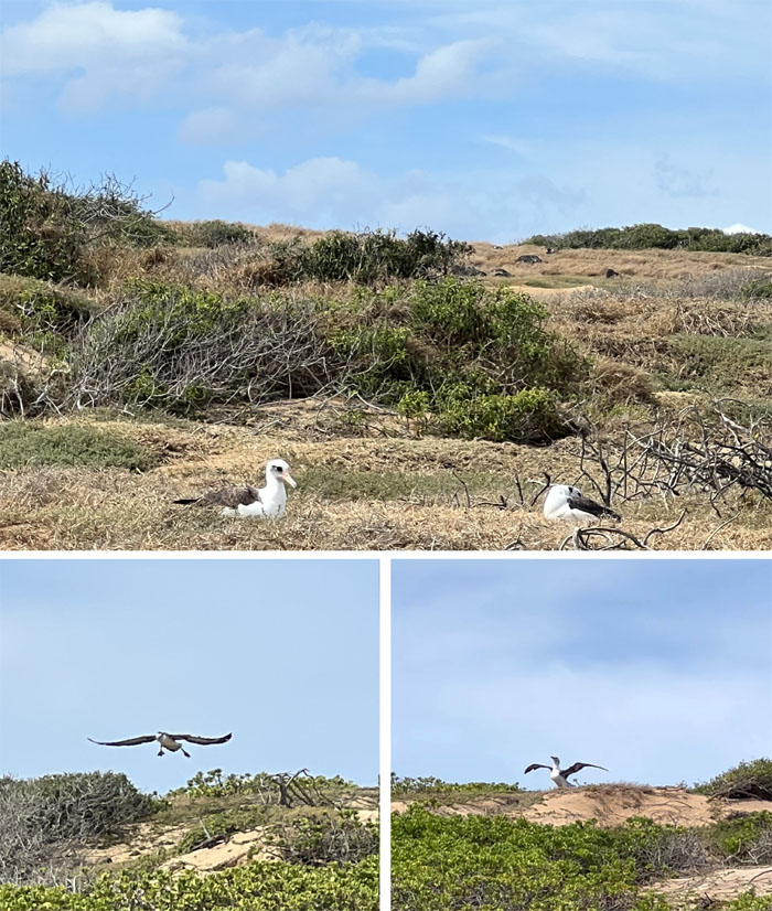
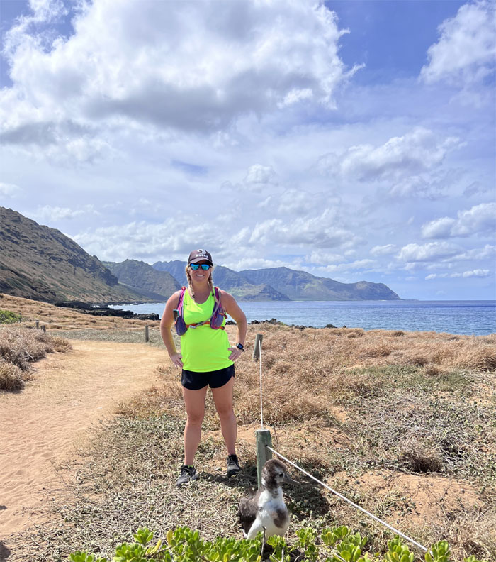
Observing a pair of nesting Laysan albatross and a chick preparing for fledging, where they exercise their impressive six foot wingspans for their maiden voyage out to sea.
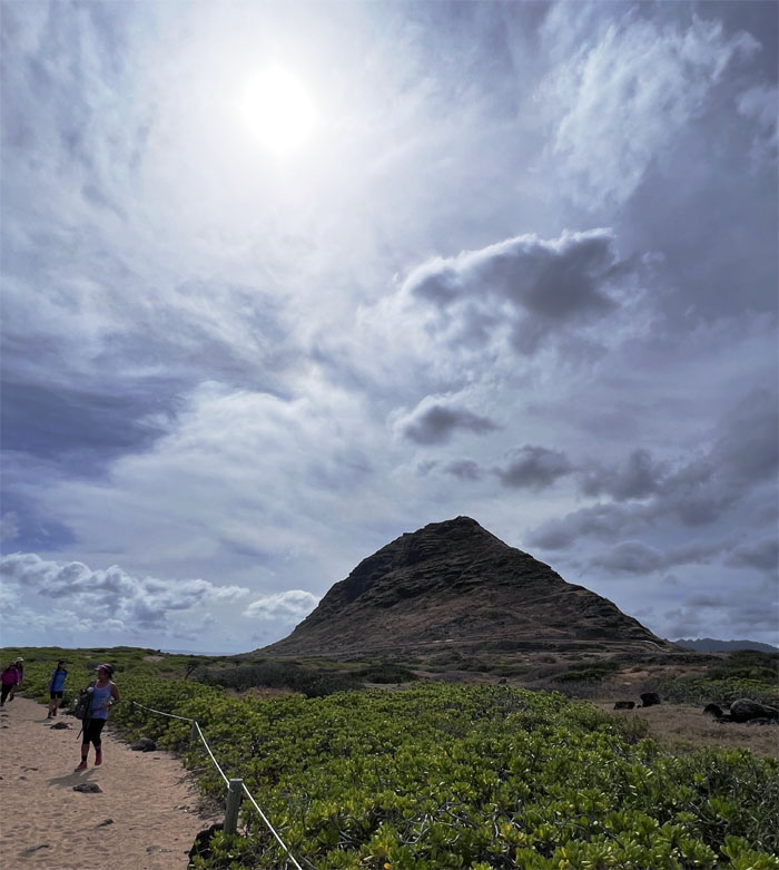
Walking on the sandy trail with Kaena Point Ridge in the background.
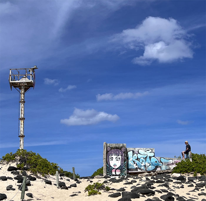
Approaching the old and the new lighthouse in the loosest sense of the word. The fallen one that was built in 1919, fell victim to vandalism and was toppled circa 1987.
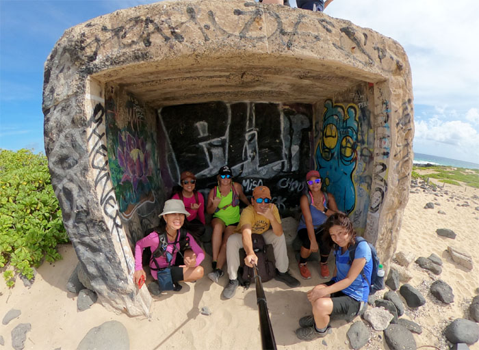
Seeking sheltered shade from the sweltering sun. This place is after all called, the heat for good reason.
Allison may have got the credit, but Tessa got the photo.
A chick with incomplete molting of its feathers, giving it an appearance of an old bird.
Exiting the predator-proof fence that was constructed back in 2011 to protect endemic fauna and flora.
Let’s go this way! Guys?
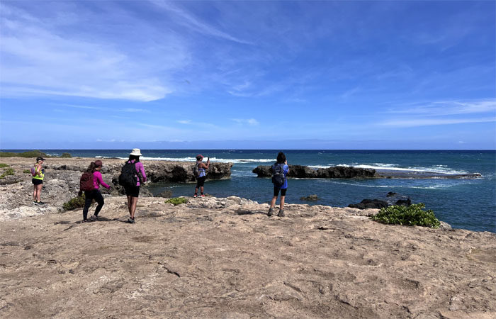
Tessa checking out one of the rocky coves that dot the shoreline.
The others took the high road.
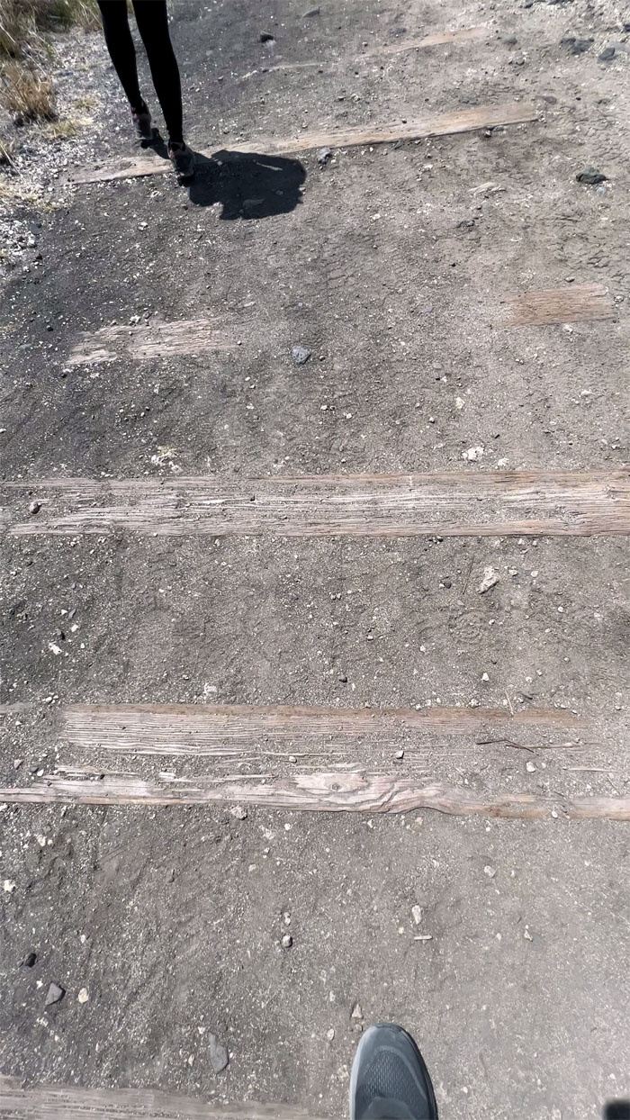
Walking on the train tracks of history that once ran from Iwilei to Kahuku. The Aluetian Islands earthquake of 1946 spawned a tsunami that destroyed some of the tracks that was rebuilt, but the sugar workers strike of the same year and the rising use of cars lead the company to shut down operations in 1947. Parts of the railroad still saw use by shipyards, tourists and the military until the 1970s. Today, a small section of the rail in Ewa is maintained and operated by the State and the Hawaiian Railway Society.
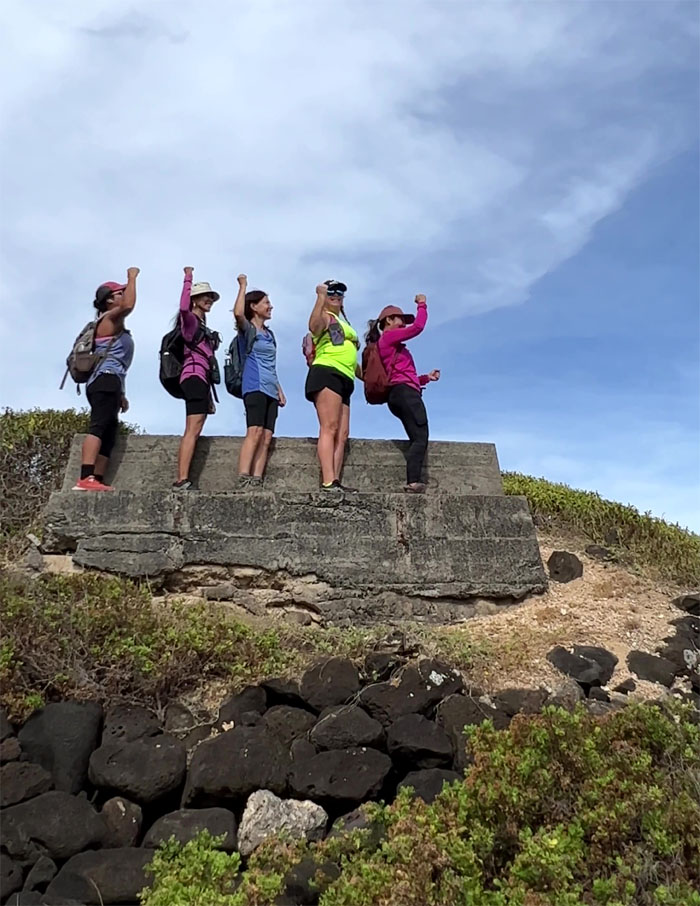
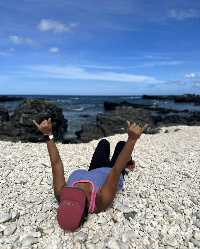
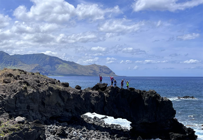
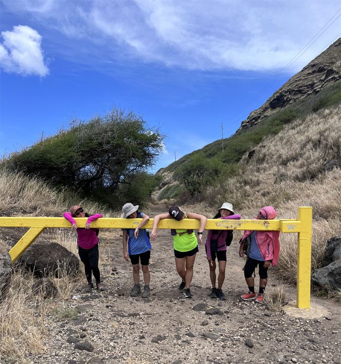
Arch your backs for the arch photo!
Hello from the other side.
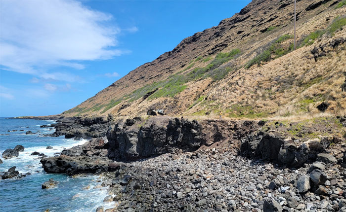
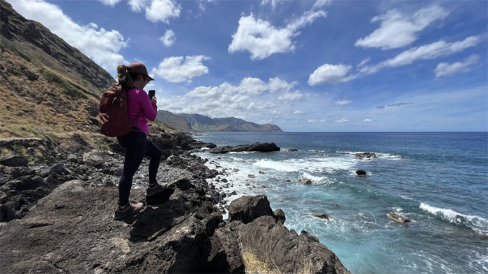
Mona taking in the picturesque views of the rugged Keawa’ula side of the coastline.
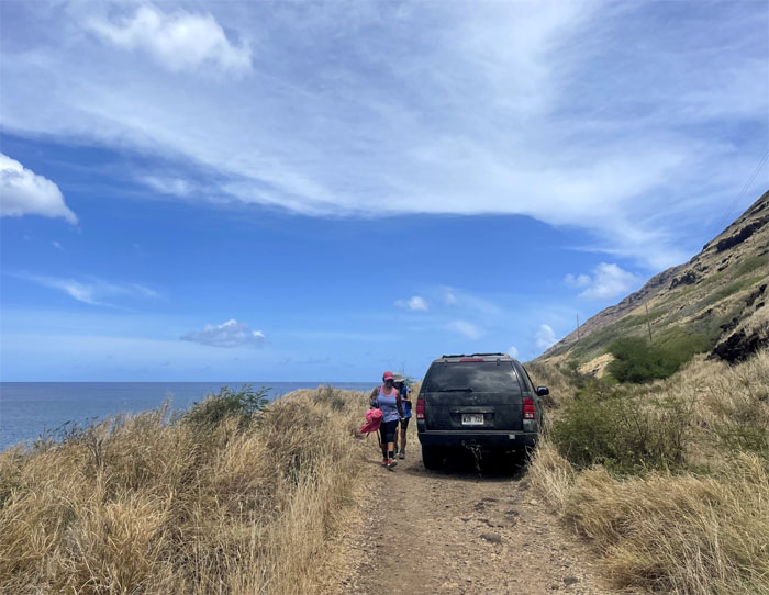
I thought vehicular access was prohibited? Maybe they want to see the coastline from a tumbled and upside down point of view. The driver did compliment my t-shirt by uttering “New Zealand. Yassss.” in the best surfer stoner voice this side of Fast Times at Ridgemont High.
We’re not done yet?
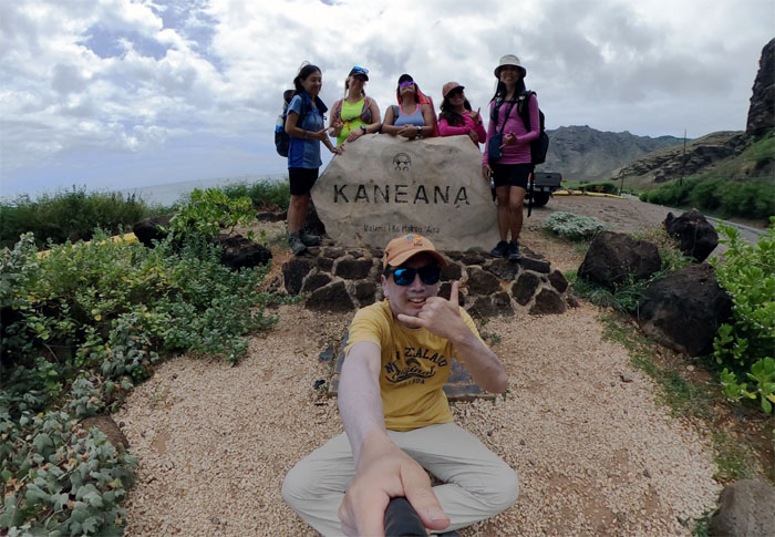
We left our hearts at Kaena Point.
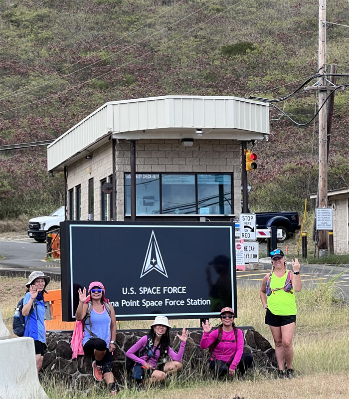
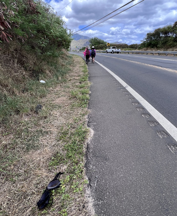
Live long and prosper. Get some crazy glue for the girl on the left. Despite the logo for the Space Force appearing to have boldly gone where Star Trek went before, this was based on earlier Air Force Designs. So no George Takei, you will not be getting any royalties. I also messaged our pickup, Jason who was not responding. Oh oh.
Did one of you guys drop something? I also called Chris, who luckily was not hiking and getting over a hangover. Pickup secured.
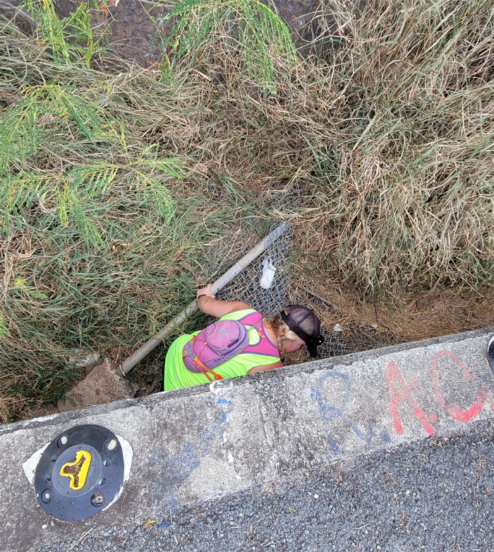
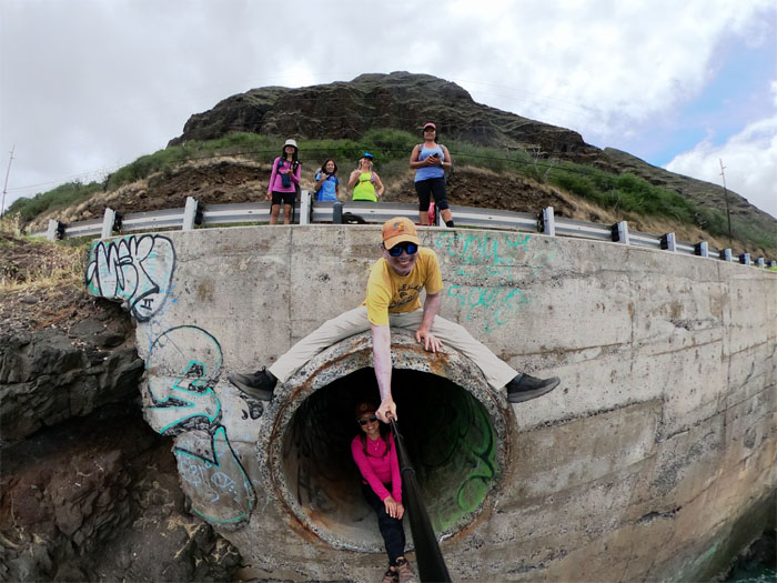
What goes in.
Must come out.
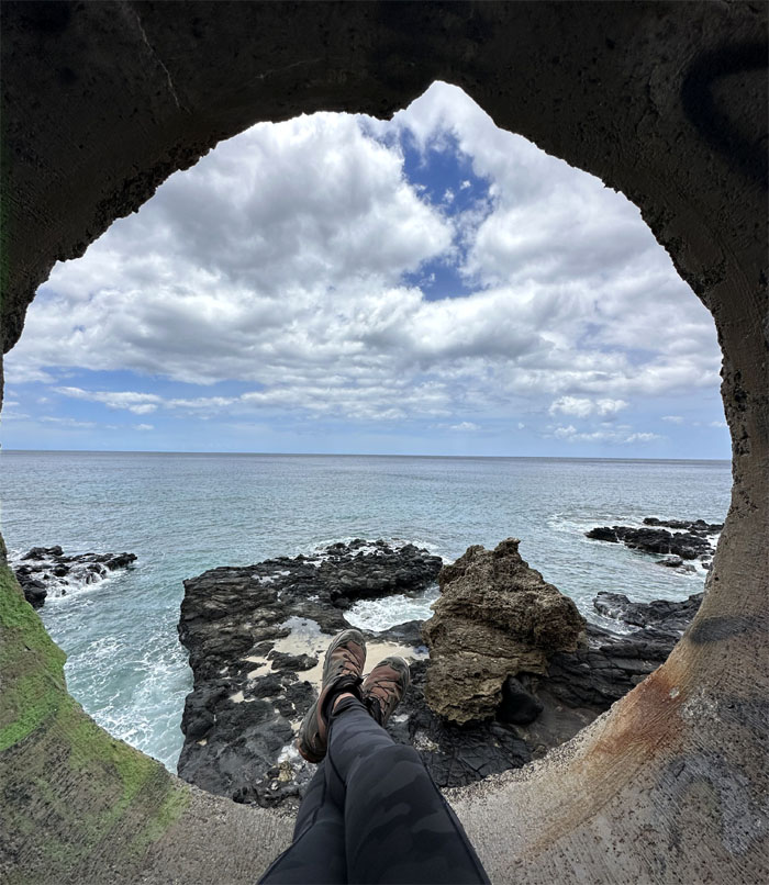
Shoefie view of the drainage pipe.
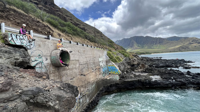
Group photo on the pipe wall.
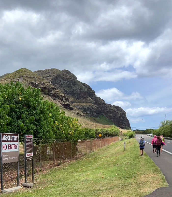
Passing by the 760 acres that the US Army back in 1964 paid the State of Hawaii a dollar to lease the land for 65 years. Talk about a steal, literally and figuratively. The Army wants to keep the valley for training and others want them out when the lease ends in 2029. The history of this valley for military training stretches back to the 1920s, when WW2 struck the islands, the military took total control of the valley and promised that when the war was over, the land would be returned. Broken promises.
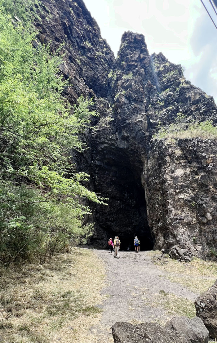
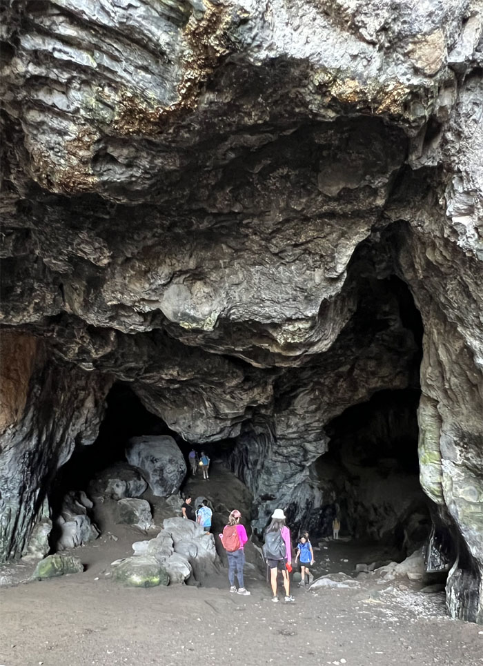
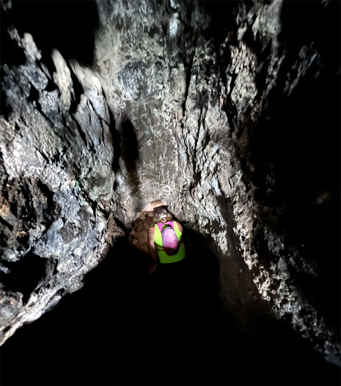
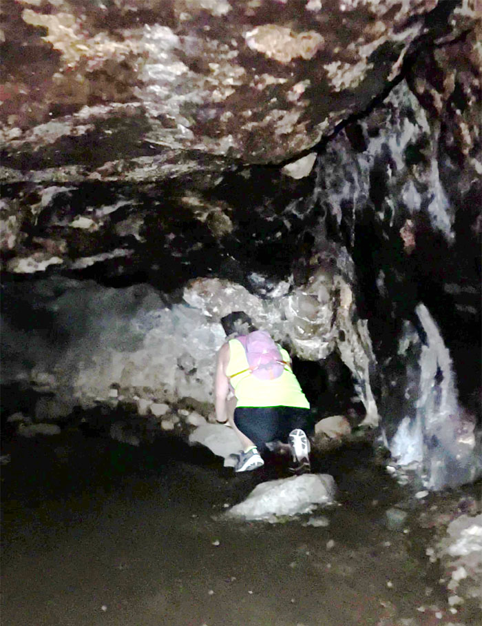
Entering the 150,000 year old cave that was formed by sea erosion and is roughly 100′ high and 450′ deep.
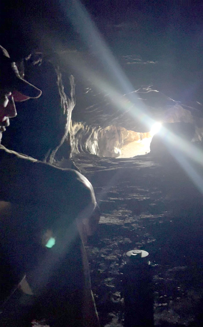
Exploring the upper and lower tunnels of the cave.
Hawaiian legend has it that this cave used to be the home to Nanaue, the Shark God that developed an appetite for human flesh. He would lure unsuspecting travelers into the cave and then kill them and leave them to rot for three weeks before making a meal of them. He was eventually caught and killed.
Another story is that the Hawaiian syndicate used to dispose of their victims here. Their spirits are supposed to still roam and haunt this area.
Hawaiian chanting soon filled the cave chambers which slightly delayed our departure.
Last group photo of the day as we waited for Chris to pick us up. Mahalo again CB!
Our hot as heck hike that took us around the island covered 11.12 miles with a fun group. Allison was late for church so she took her hurried leave of us. Post hike meal at Sakura Restaurant, entertainment included.
Photos taken by Aida Gordon, Allison Banks, Mari Saito, Monaliza Guillermo, Tessa Bugay, and yours truly. Not necessarily in order.
Note: I have been made aware that some hikers have been using my blog as a hiking guide and getting lost on the trails. Please note that this blog was made to document the hike for the crew(s) that did it. That is why some of my comments will seem to have no relevance or meaning to anybody outside of the crew(s) that hiked that trail. My blog was never meant as a hiking guide, so please do not treat it as such. If you find inspiration and entertainment from these hikes, that is more than enough. If you plan on replicating these hikes, do so in the knowledge that you should do your own research accordingly as trail conditions, access, legalities and so forth are constantly in flux. What was current today is most likely yesterdays news. Please be prepared to accept any risks and responsibilities on your own as you should know your own limitations, experience and abilities before you even set foot on a trail, as even the “simplest” or “easiest” of trails can present potential pitfalls for even the most “experienced” hikers. One should also always let somebody know of your hiking plans in case something doesn’t go as planned, better safe than sorry.

{ 2 comments… read them below or add one }
This my fave part of the island peri walk so far lol
Fun day with awesome crew. Until next time, thank you
Kenji-San
Aloha Tessa,
Yep, this was a nice walk with good stuff to check out.
Mahalo