
Our last hike of the year started off at one of three tuff cones on the island, as it was a mighty tuff hike ahead of us. Not really.
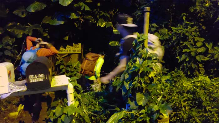
Trailhead
Mahalo to Ferlino for dropping Analyn, Eric, Matt and myself off at the end of the darkened residential street.
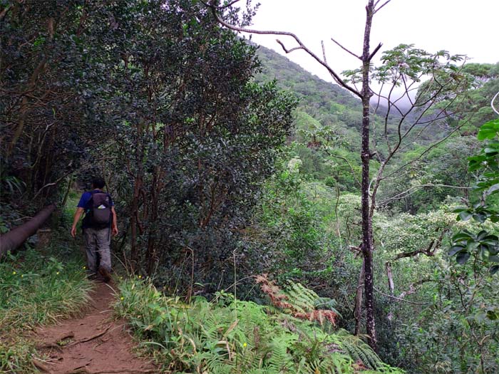
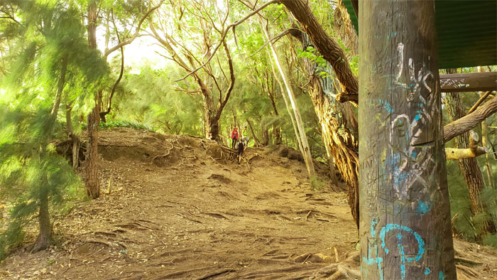
Ka’au Crater Trail
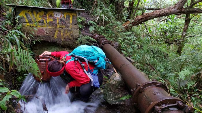
We dropped down to Wai’oma’o stream and picked up the pipe to continue on the trail. Photo by Matt Vidaurri.
H20
It’s always important to hydrate oneself during a hike.
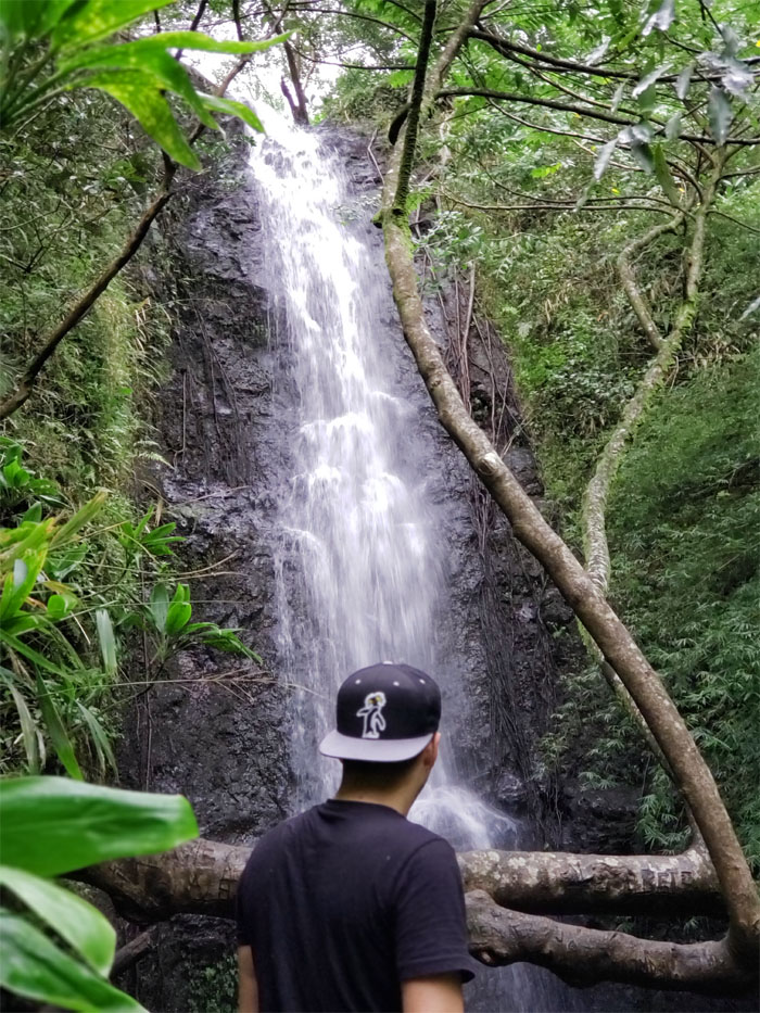
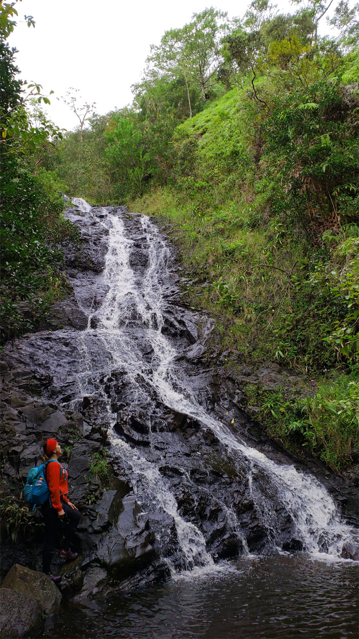
Waterfalls #1
Eric and Matt decided to drop in on the first waterfall while Analyn and myself waited topside. Photo by Matt Vidaurri.
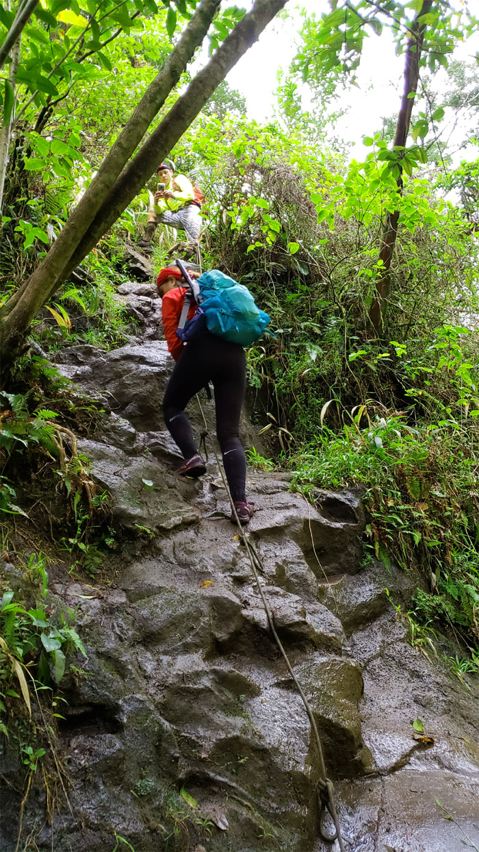
Ka’au Crater Trail
Climbing and contouring to the left of the first waterfalls.
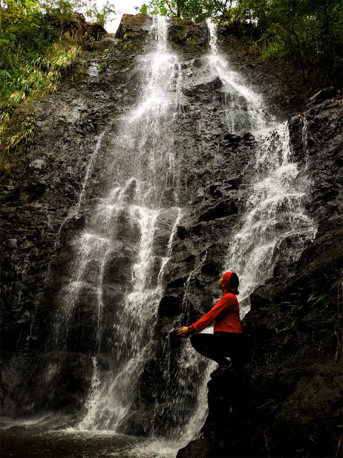
Waterfalls #2
Analyn sitting pretty at the base of the falls. Photo by Matt Vidaurri.
Waterfalls #2
Matt standing pretty at the base of the falls.
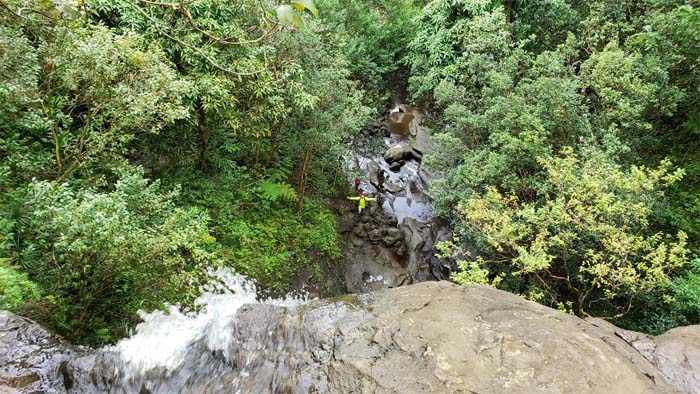
Waterfalls #3
Beginning our climb as we switched from left to …
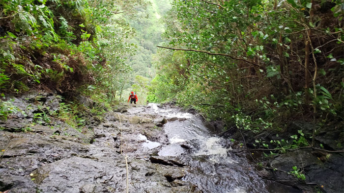
Waterfalls #3
… right as we climbed the remaining five waterfalls to the crater trail. Matt attempted to find another way up to the trail that bypassed the waterfalls, failing that, he rejoined us on the way up to the trail.
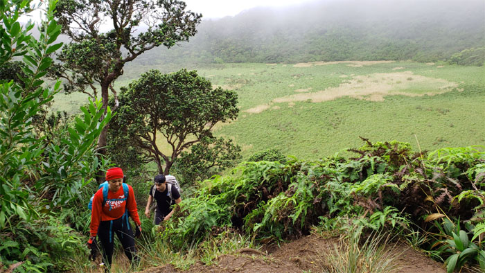
Ka’au Crater Trail
Leaving the waterfalls behind us, as we gained the trail with the marsh filled crater that feeds the aquifer and waterfalls in the background.
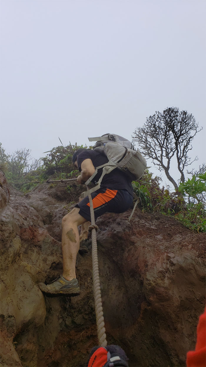
Ka’au Crater Trail
Eric pulling himself up the deeply rutted and eroded trail that has seen better days. We soon gained the Ko’olau Summit Ridge Trail with whiteout and windy conditions. Another wonderful day in the mountains.
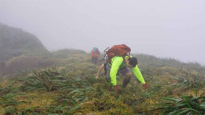
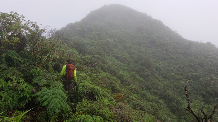
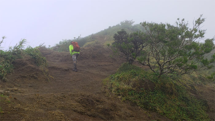
Ko’olau Summit Ridge Trail (KSRT)
The group charging up the big hill with the wind in their faces.
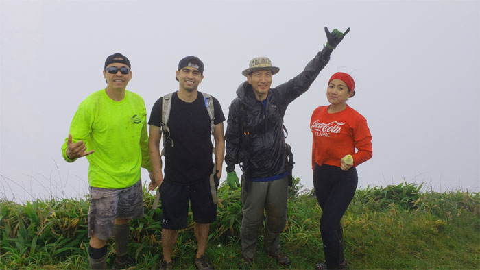
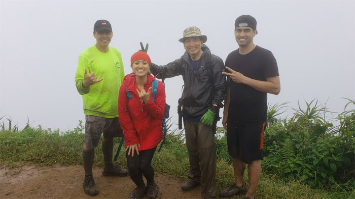
Kainawa’au Summit
Group photo at the 2,520′ peak, left to right: Matt, Eric, myself and Analyn.
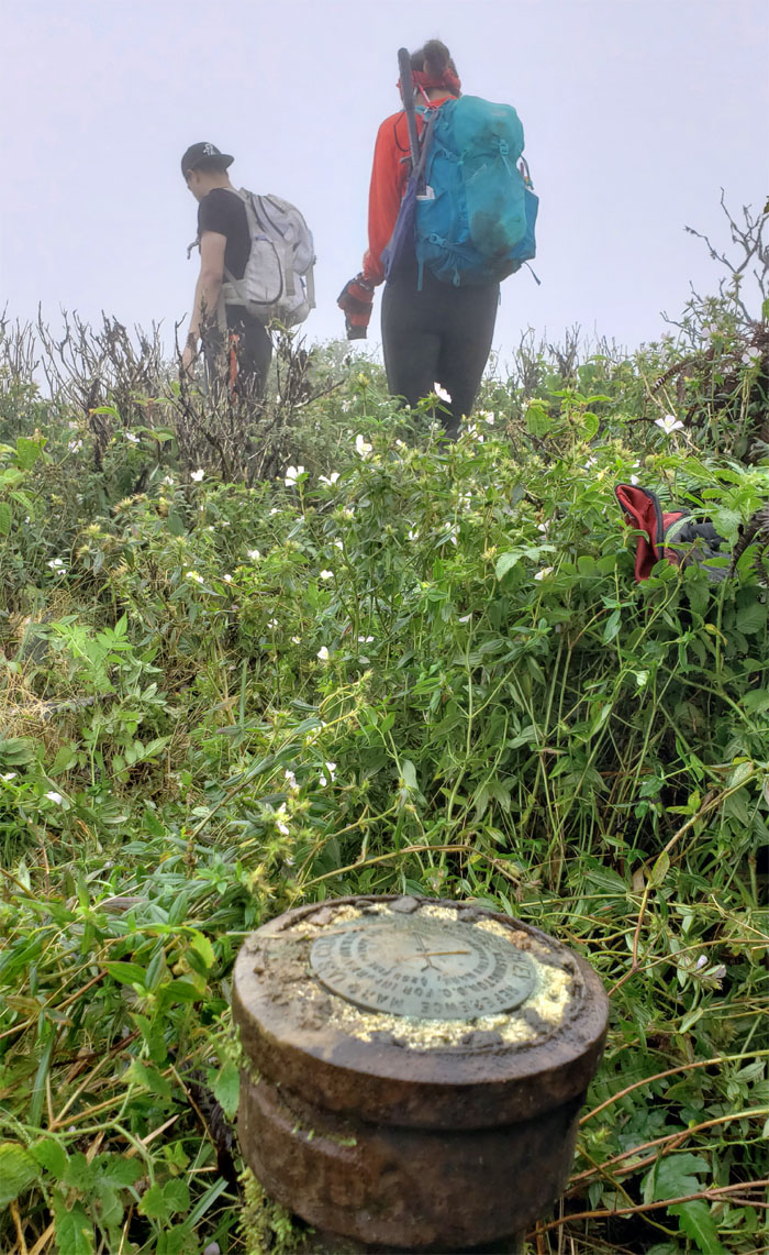
Lanipo Summit
We traversed two humps to make it to the 2,621′ summit.
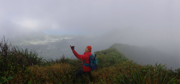
Lanipo Windward
The trail to the steep Windward ridge that was descended by HTMC hiker Dick Davis back in 1944.
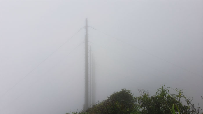
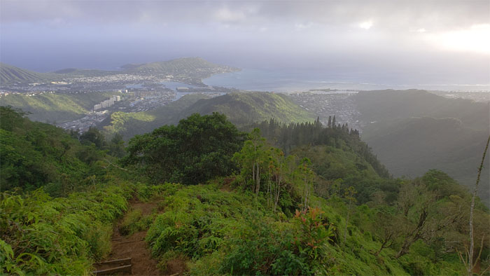
KSRT
We soon approached the power lines, which signaled that we were closing in on the summit of Wiliwilinui.
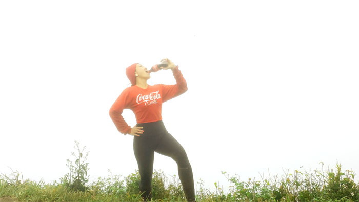
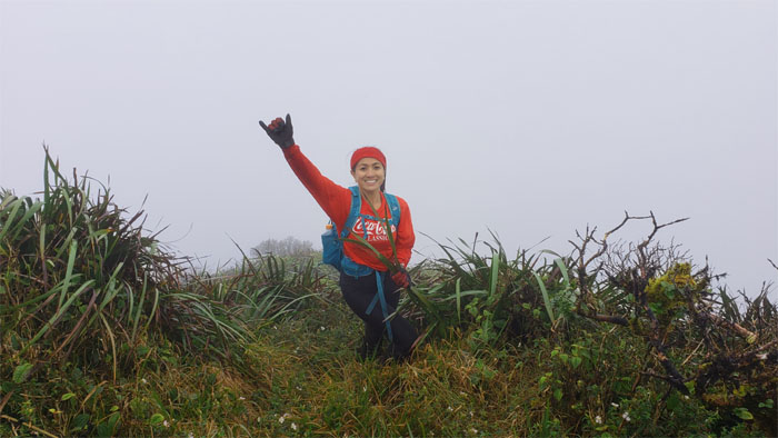
Wiliwilinui Summit
I don’t always drink Coke, but when I do, I prefer it with the bottle cap on.
KSRT
Analyn looking heroic or happy, take your pick, going down the ridge.
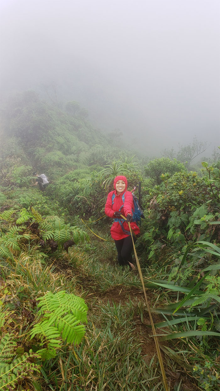
KSRT
Pushing our way through the dense uluhe fern foliage, a constant but necessary nuisance in the mountains.
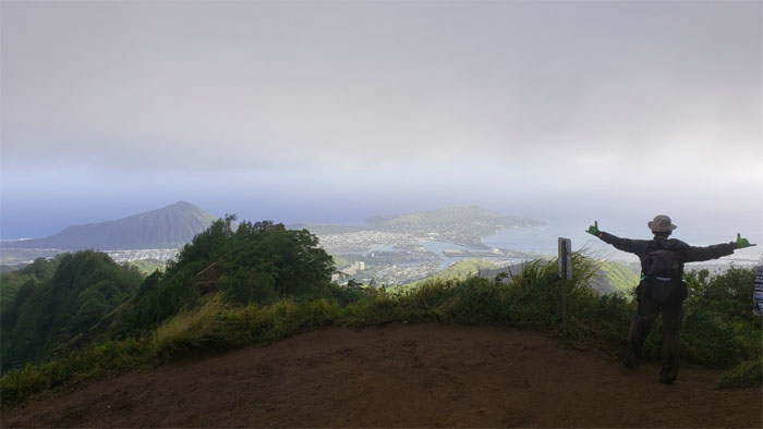
Hawaii Loa Summit
Group photo at the 2,520′ knob.
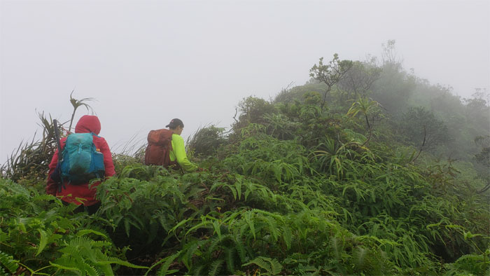
KSRT
Back on the roller coaster ridge.
Pu’u O Kona Summit
The views finally started to open up as we summited the 2,200′ flat topped hill.
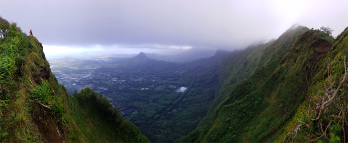
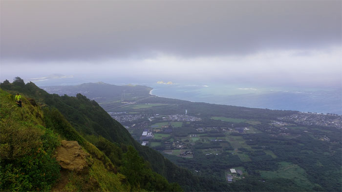
KSRT
Panoramic view of the Windward coastline. Photo by Matt Vidaurri.
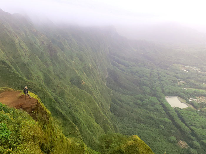
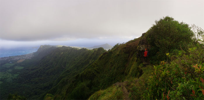
KSRT
One of the most photographed spots that emphasizes the fluted cliffs of the Ko’olau Mountains. Photo by Matt Vidaurri.
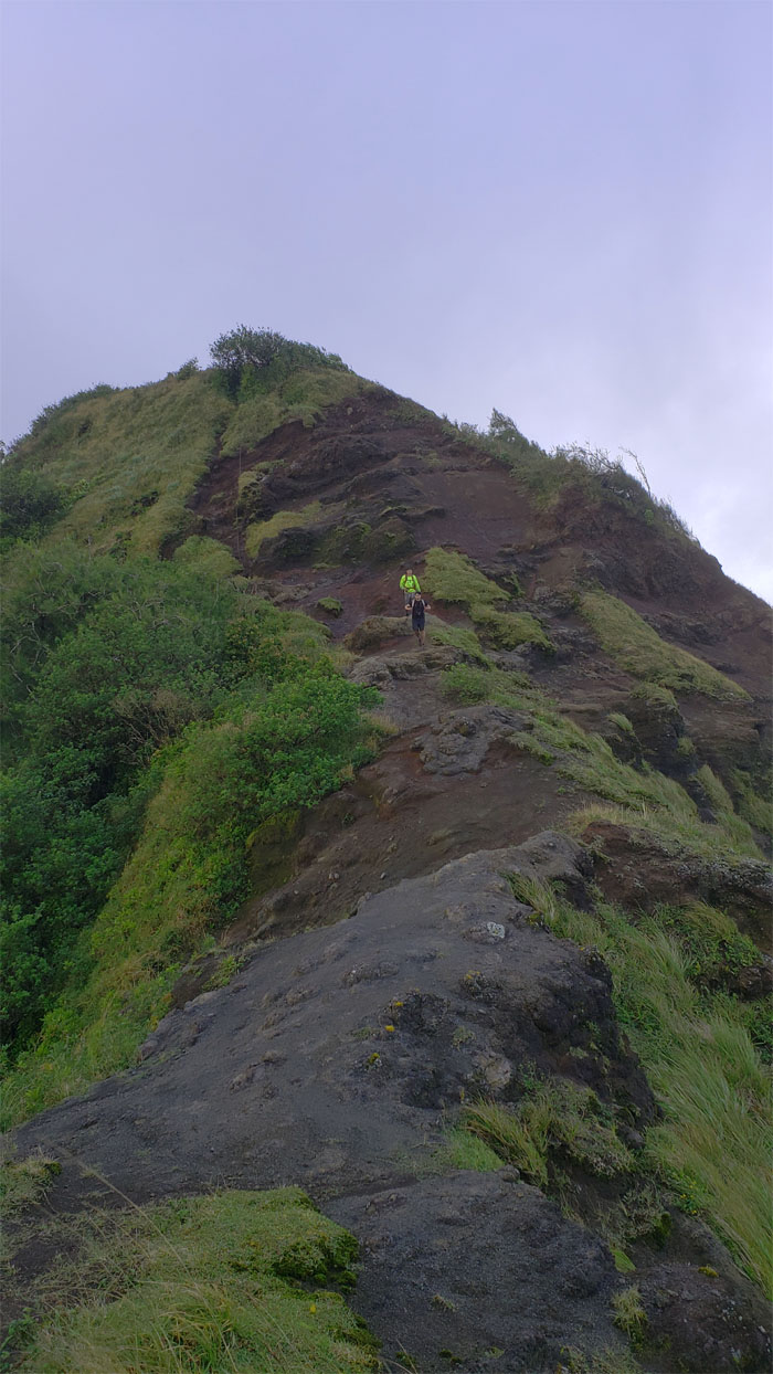
KSRT
Matt making his way up the eroded section of the ridge.
KSRT
Sliding our way down the loosely packed dirt. Photo by Matt Vidaurri.
KSRT
Eric and Matt making their way down.
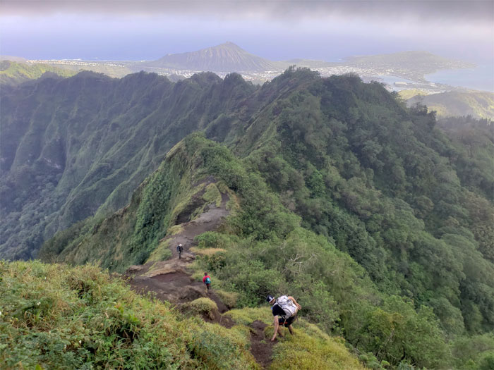
KSRT
Looking down at the spine of the Ko’olau Mountains.
KSRT
Eric and Matt approaching the eroded summit.
Kuli’ou’ou Summit
Time to get off the chilly 2,028′ hill and head down for warmer parts. Photo by Analyn Baliscao.
Kuli’ou’ou Ridge Trail
Making our way down the strangely deserted trail, where a couple more photo shoots were in order before the hike was over.
All pau
Our end of the year winter hike covered 7.7 miles through waterfalls, ridges and valleys. Last post hike meal of the year at Outback Steakhouse. When a cup of their clam chowder won’t do, only a bowl will satisfy my cravings.
Note: I have been made aware that some hikers have been using my blog as a hiking guide and getting lost on the trails. Please note that this blog was made to document the hike for the crew(s) that did it. That is why some of my comments will seem to have no relevance or meaning to anybody outside of the crew(s) that hiked that trail. My blog was never meant as a hiking guide, so please do not treat it as such. If you find inspiration and entertainment from these hikes, that is more than enough. If you plan on replicating these hikes, do so in the knowledge that you should do your own research accordingly as trail conditions, access, legalities and so forth are constantly in flux. What was current today is most likely yesterdays news. Please be prepared to accept any risks and responsibilities on your own as you should know your own limitations, experience and abilities before you even set foot on a trail, as even the “simplest” or “easiest” of trails can present potential pitfalls for even the most “experienced” hikers.
{ 0 comments… add one now }