
Back for a mud bath. Good for the soul and your body. Or so they said. Or was it you will have fun? Photo by Barry Lau.
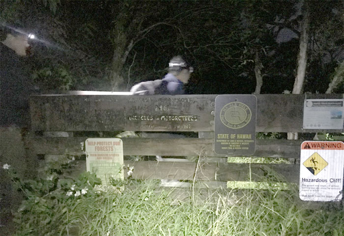
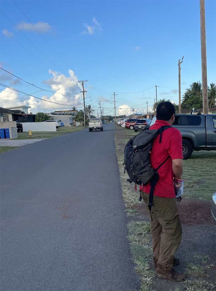
Trailhead
A big shout out to Daryl and Edgar for driving us from Laie to the trailhead.
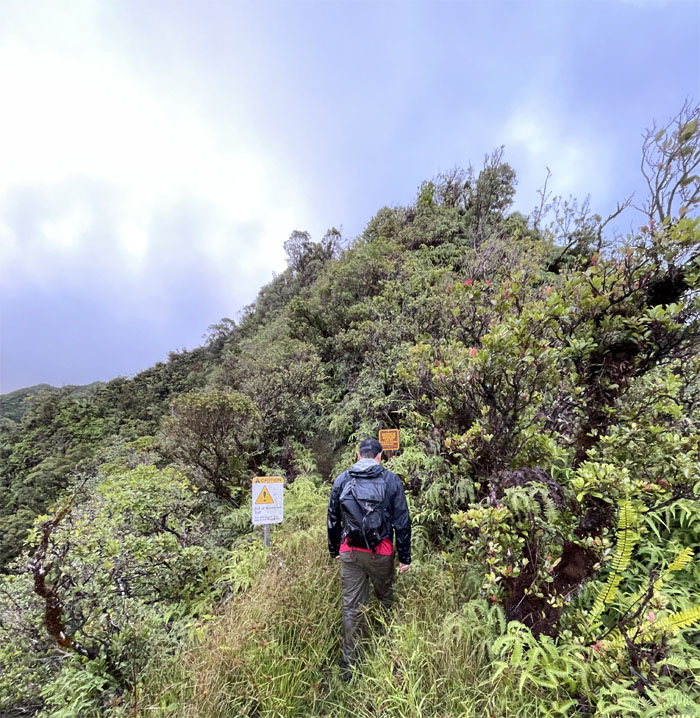
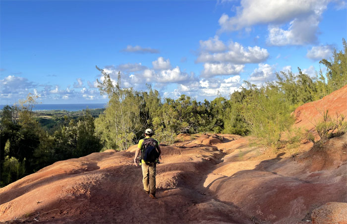
Poamoho Trail
The trail actually looked in better shape than the last time we saw it. Marked improvement. Kudos to the individual(s) or group(s) responsible for slowly restoring the trail back to its former self.
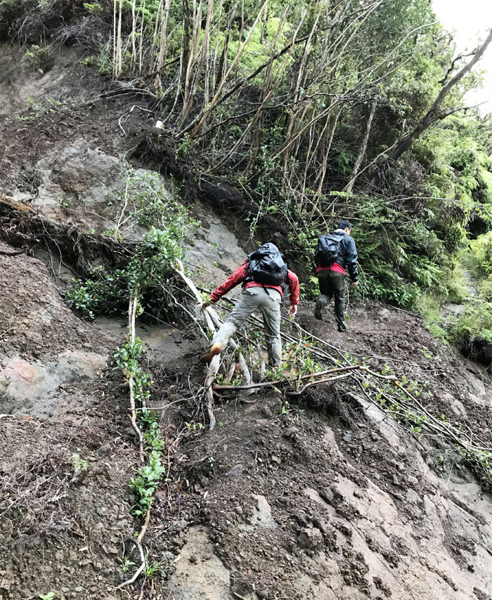
Poamoho Trail
Crossing over another landslide section. Photo by Barry Lau.
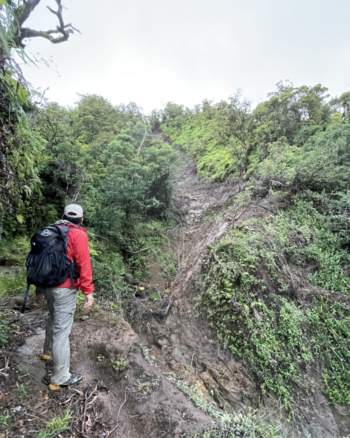
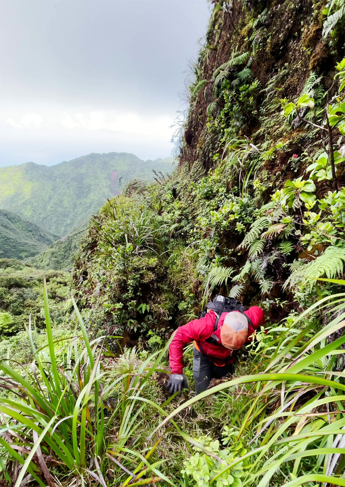
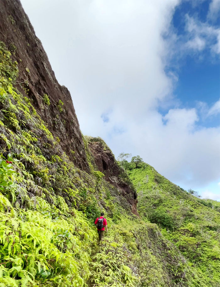
Poamoho Trail
Art passing underneath a testament to the raw power of Mother Nature as she constantly changes the terrain.
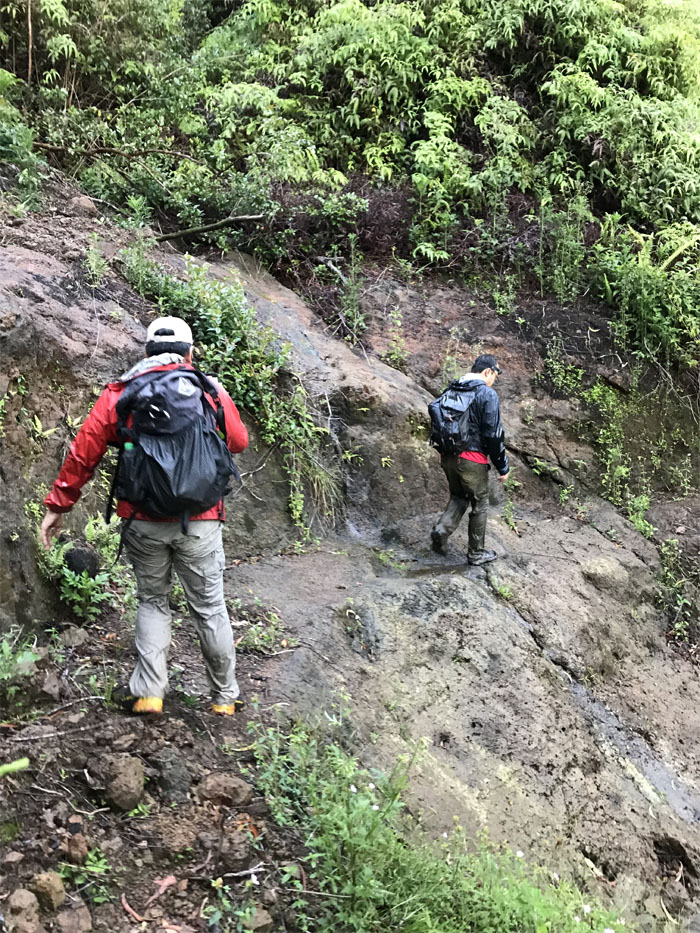
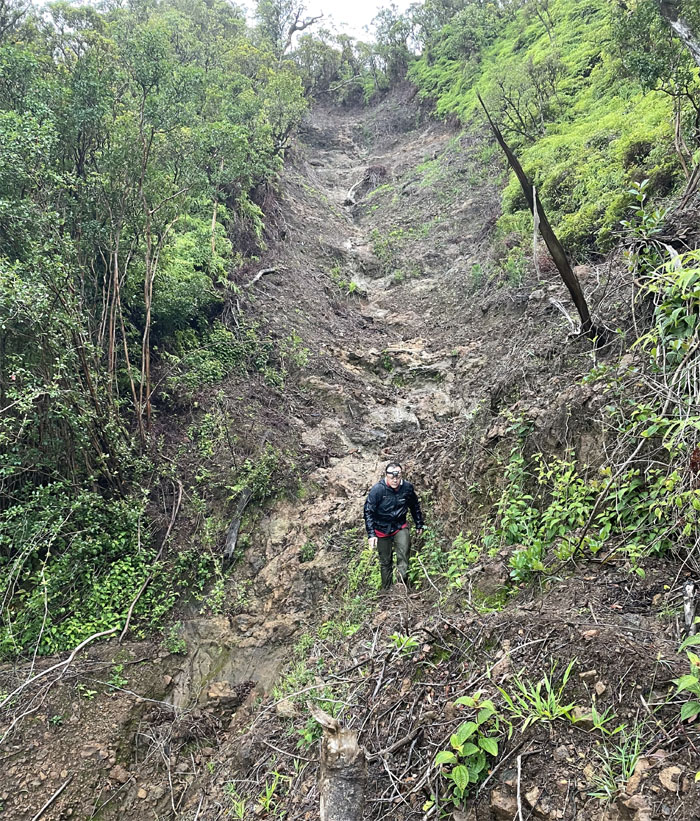
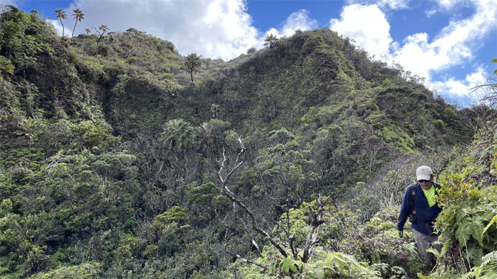
Poamoho Trail
Looking out to the still ravaged trail. Photo by Art Young.
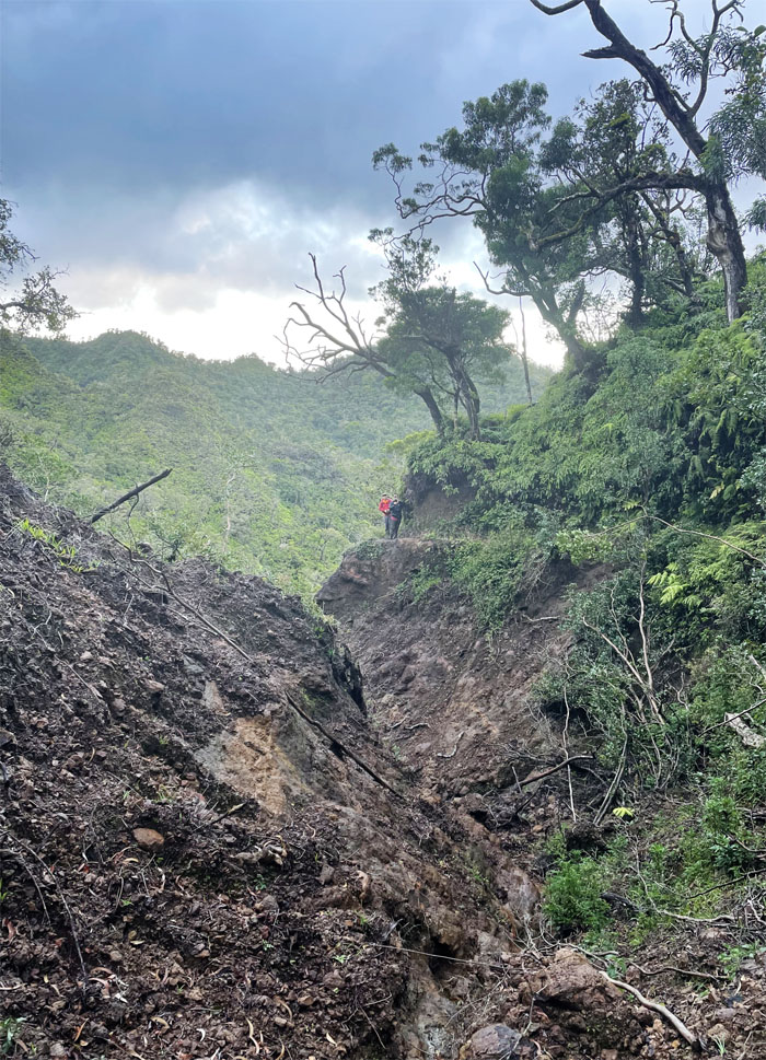
Poamoho Trail
It would have been something to have been witness to the raw fury that was unleashed in these mountains over six months ago. From a safe distance of course.
Poamoho Trail
Scrambling over a couple small blowdowns. Photo by Barry Lau.
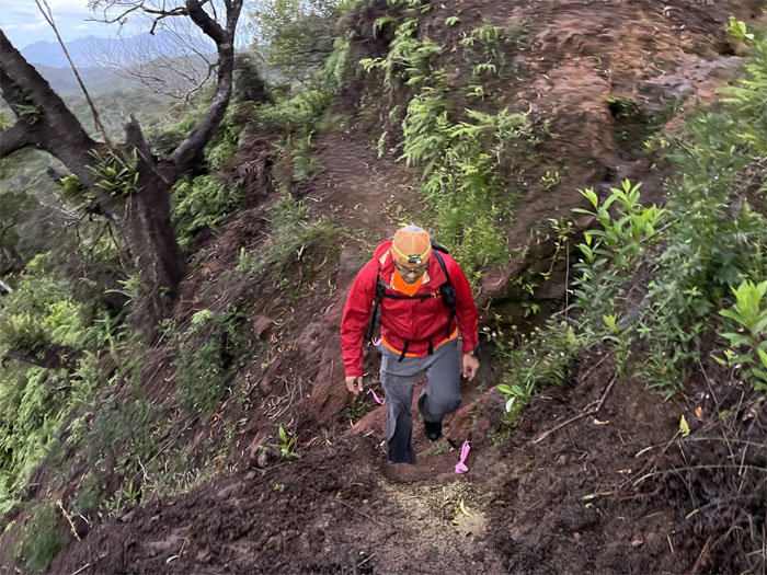
Poamoho Trail
Leaving the maintained one for the unmaintained trail. What a relief.
Poamoho Trail
Catching the fleeting views. Photo by Art Young.
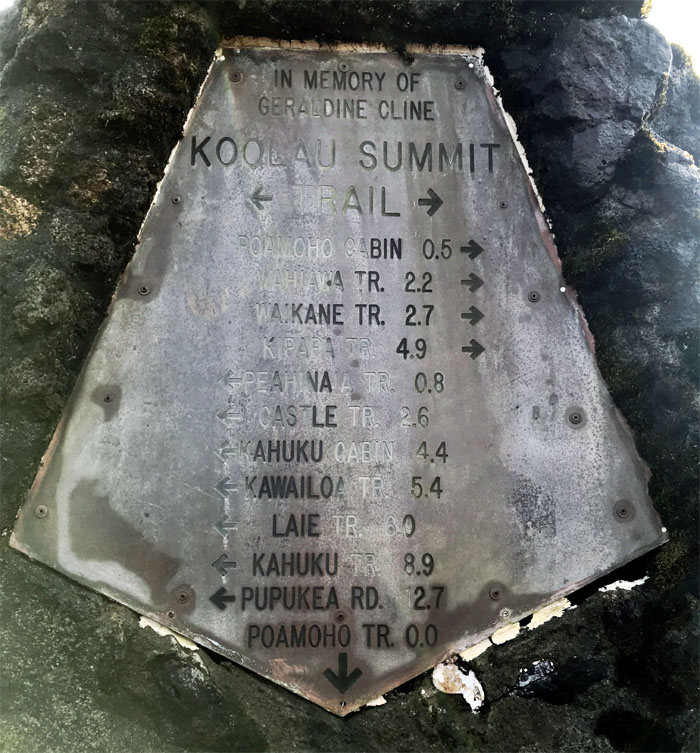
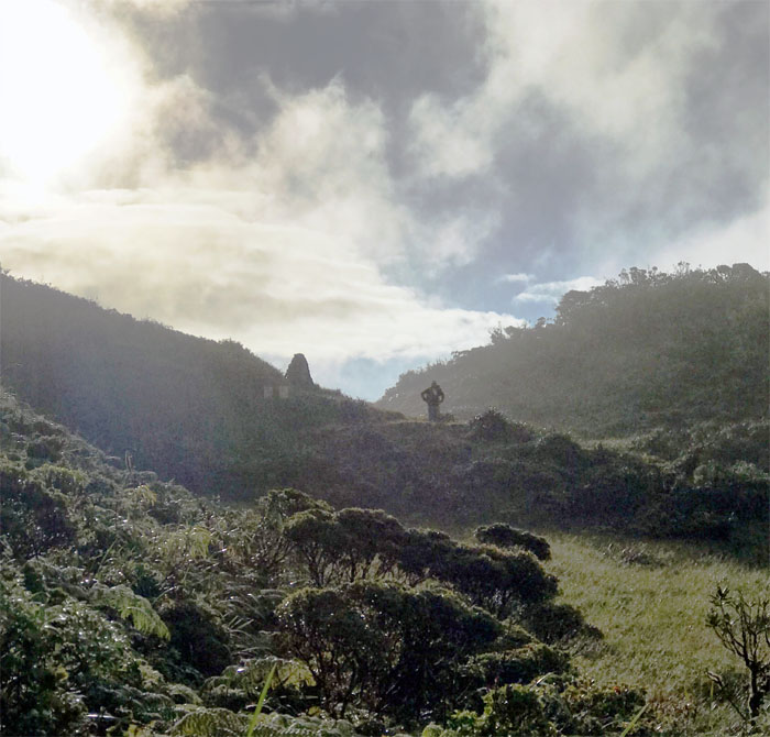
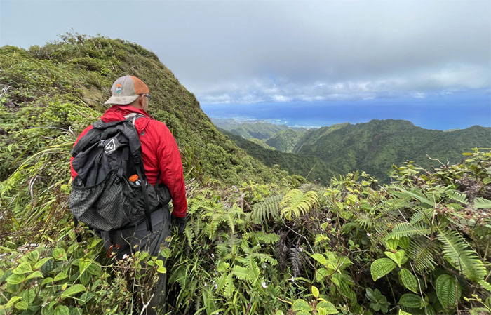
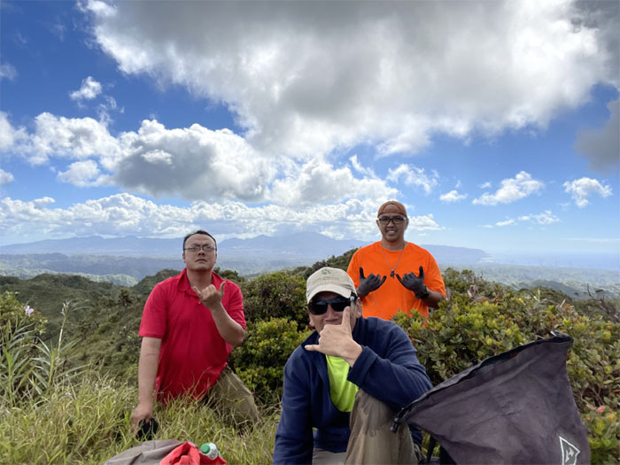
Poamoho Summit
Barry soaking in the sun while it lasts. Photo by Art Young.
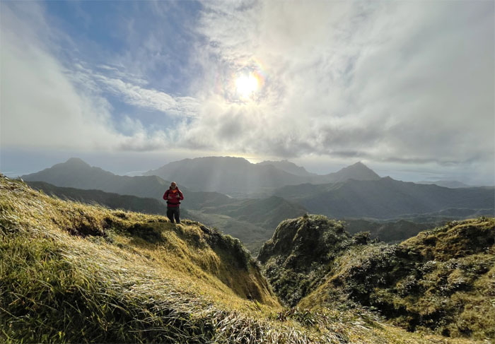
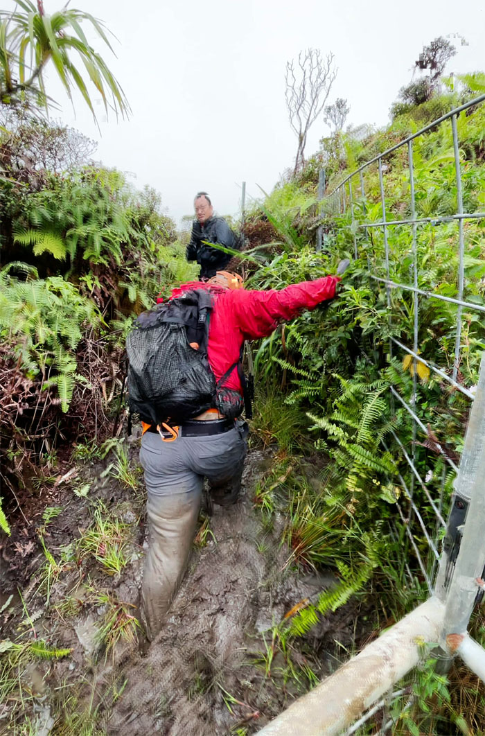
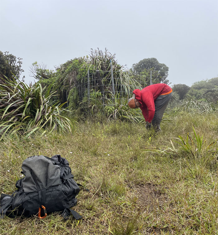
Ko’olau Summit Trail (KST)
Passing the escargot holding area as we crossed through the gate and the mountains untamed views. Photo by Art Young.

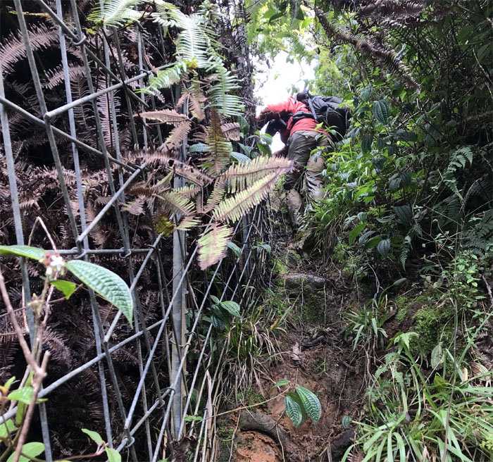
KST
Contouring below the fence line and a very old landslide. Photo by Art Young.
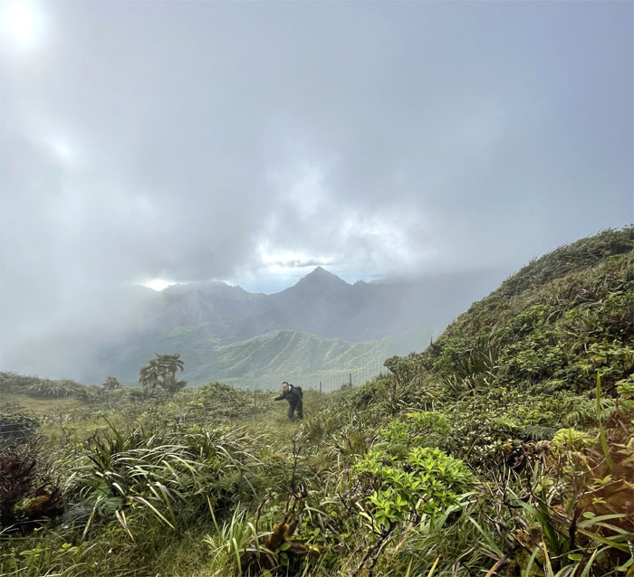
KST
Back on the fence line with windows of the views peeking through the clouds.
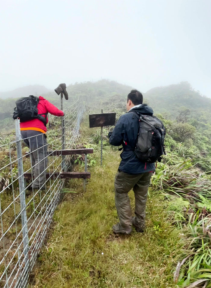
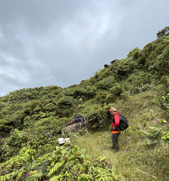
Boot Junction
It helps to be tough as old shoe leather to hike this trail.
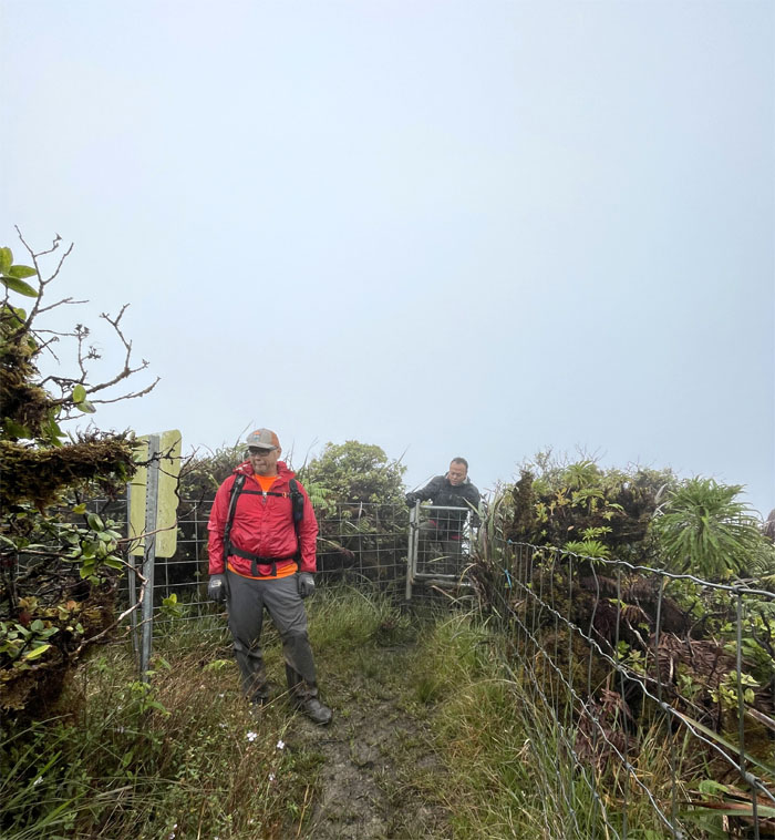
KST
Standing at the crossroads. One way to the waterfalls and the other way to more mud than you can shake a shoe at. Tough decisions.
KST
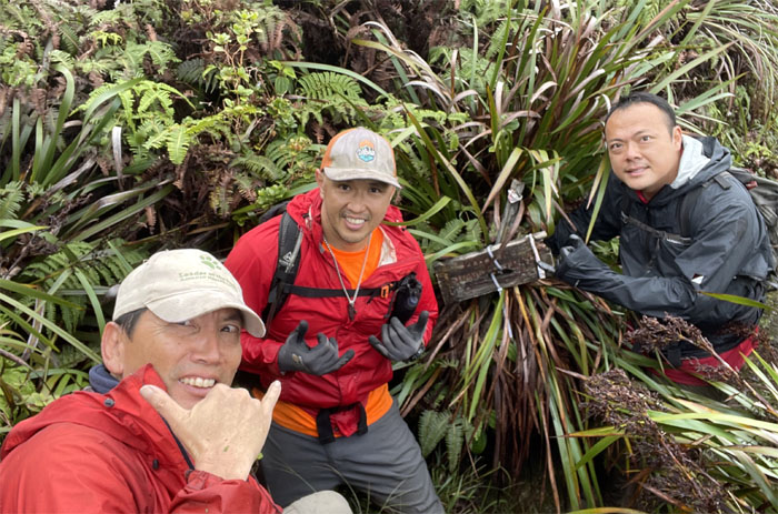
Group photo before going down the rabbit hole. The very muddy hole.
KST
Barry experiencing the immersive experience of one of the deepest of the mud pits to be found on the trail.
Papali Junction
Taking a short break at the terminus that also leads down into the Windward side. But that was not our route today.

KST
Throw in a pinch of overgrowth and mixed with the mud for good measure. Photo by Barry Lau.
KST
Looking out towards the Windward coastline as the seemingly monotonous trail meandered its way through the mountains.
KST
Art putting the rock to good use. Never mind the rat carcasses littered around him.
KST
Barry climbing out of the notch that signaled that we were close to regaining the muddy fence line that would take us to the most spacious cabin on the KST.
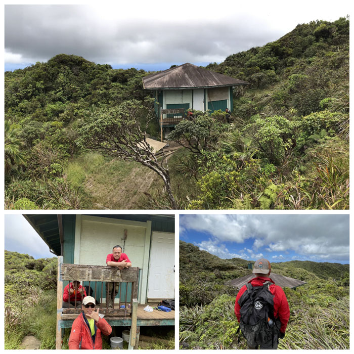
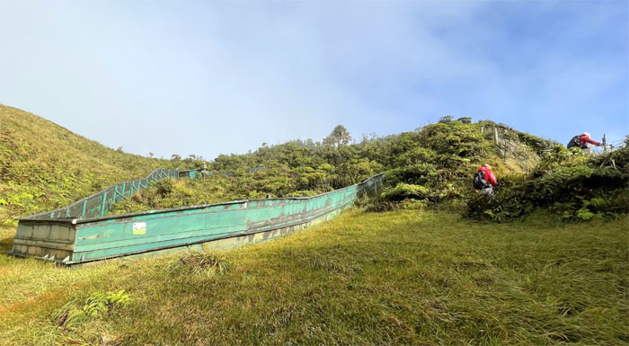
Koloa Cabin
Locked up tighter than a drum.
KST
Climbing down the steepest section of the trail. Photo by Barry Lau.
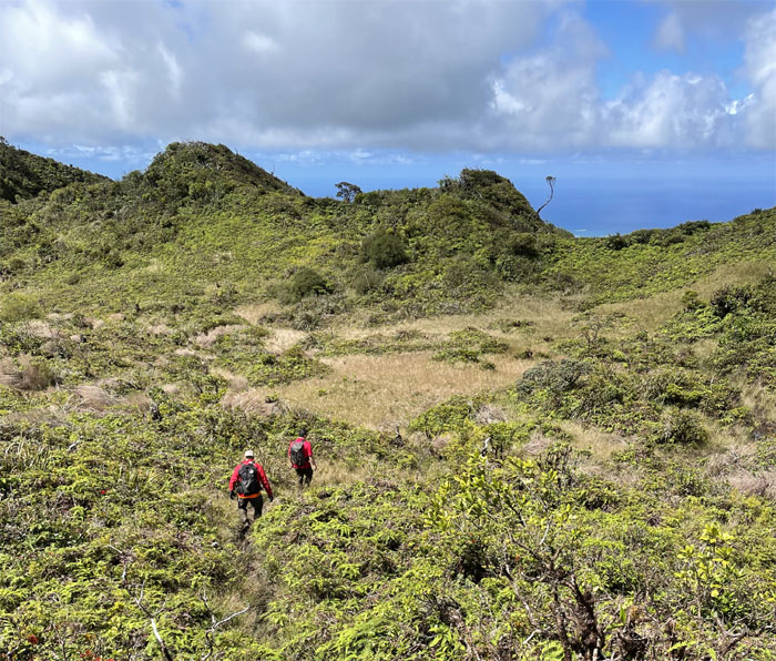
KST
Making our way down through the bowl shaped depression.
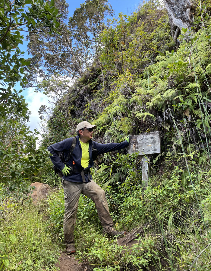
Laie Summit
Clear views all around us at the 2,240′ foxhole.
Laie Trail
Descending down the convoluted ridge line. Photo by Art Young.
Laie Trail
Making our way down the side of the steep cliff.
Laie Trail
No side trip to the refreshing pool below us. Photo by Art Young.
Laie Trail
Going back down the long rut of an eroded trail. Photo by Art Young.
All pau
Mahalo to the friendly farmer that gave us a ride halfway out the road.
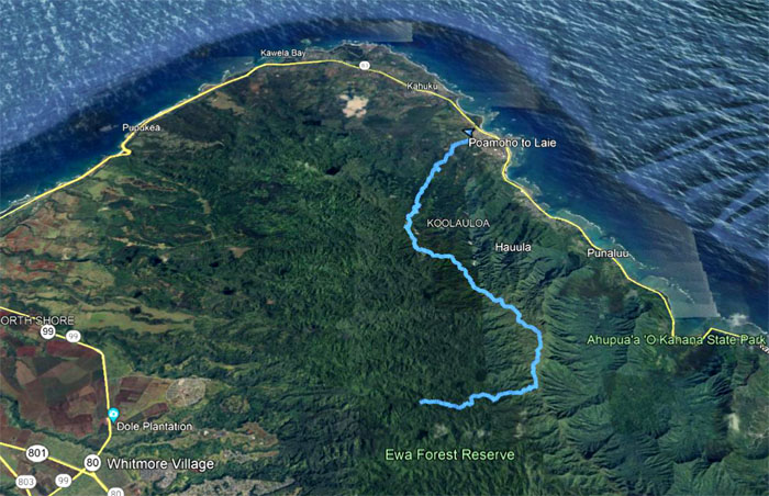
GPS Tracks
Our muddy grinder of a hike covered over 15 miles through the Northern Ko’olau Mountains with good company. Post hike meal at Jade Dynasty where we arrived, some more dirty than others, to celebrate Narissa’s 39th birthday. Say what?
Note: I have been made aware that some hikers have been using my blog as a hiking guide and getting lost on the trails. Please note that this blog was made to document the hike for the crew(s) that did it. That is why some of my comments will seem to have no relevance or meaning to anybody outside of the crew(s) that hiked that trail. My blog was never meant as a hiking guide, so please do not treat it as such. If you find inspiration and entertainment from these hikes, that is more than enough. If you plan on replicating these hikes, do so in the knowledge that you should do your own research accordingly as trail conditions, access, legalities and so forth are constantly in flux. What was current today is most likely yesterdays news. Please be prepared to accept any risks and responsibilities on your own as you should know your own limitations, experience and abilities before you even set foot on a trail, as even the “simplest” or “easiest” of trails can present potential pitfalls for even the most “experienced” hikers.
{ 4 comments… read them below or add one }
Hey Kenji,
I am planning on doing this hike this weekend. Would you be able to send me the GPS tracks? I would much appreciate it as I don’t want to get lost on the KST!!
Mahalo,
Brandon
Aloha Brandon,
Sent it your way as I wouldn’t want you to get lost! Have fun.
Mahalo
hi kenji! I was wondering how you did the poamoho falls? Wondering if you could send me directions? i just did the poamoho summit and seen u guys did some falls? Thanks in advance:)
Aloha Tina,
When we did it, we just went down off the main trail at some point and followed the stream to the source. However, with the landslides that we had awhile back, the terrain may have changed where the route will probably change and which I have no knowledge of.
Mahalo