
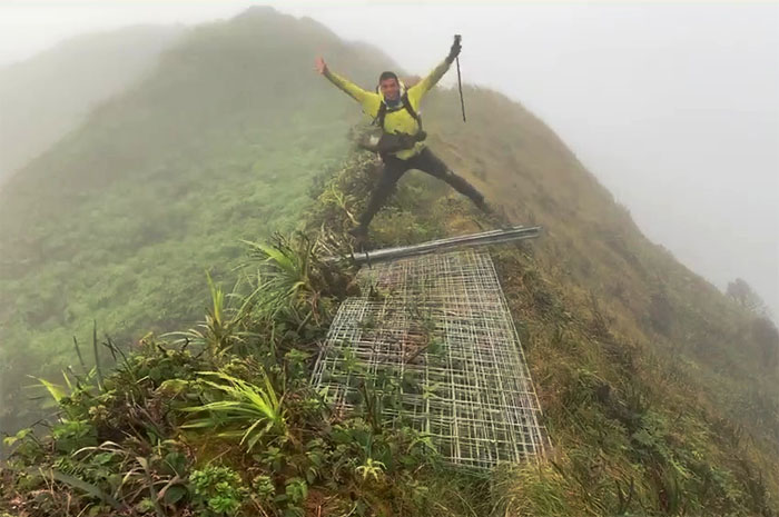
Met up with Analyn, Anne, Chris, Kip and Yoly to see Ferlino through the finish line for his Ko’olau Summit Trail completion. Photo by Chris Bautista.
Paala Uka Pupukea Road
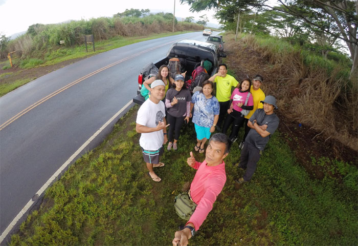
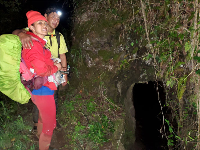
Thanks to Jasmin for dropping us off and Lopaka for driving our group up the jeep road. Photo by Ferlino Carinio.
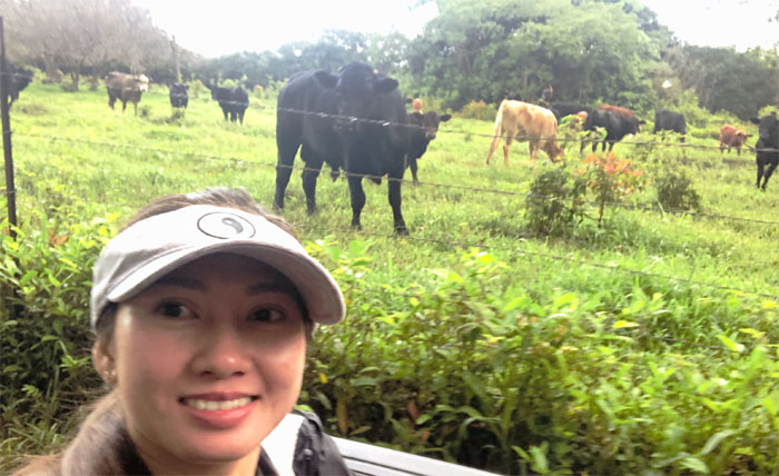
Where’s the beef?
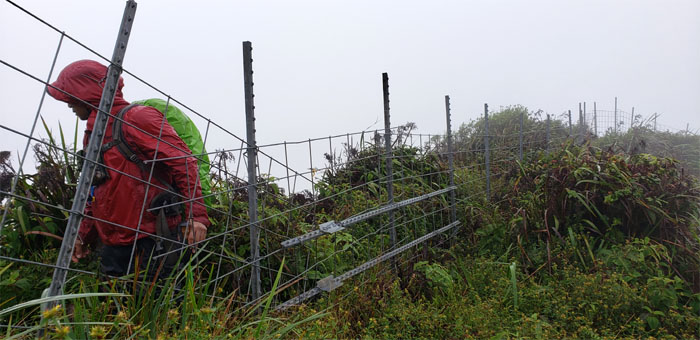
Separation of ungulates and mammals. Let’s keep it that way. We wouldn’t want any inter-fencing. Photo by Anne Fai.
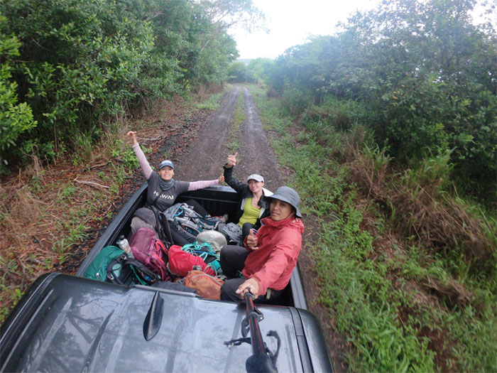
Off-roading
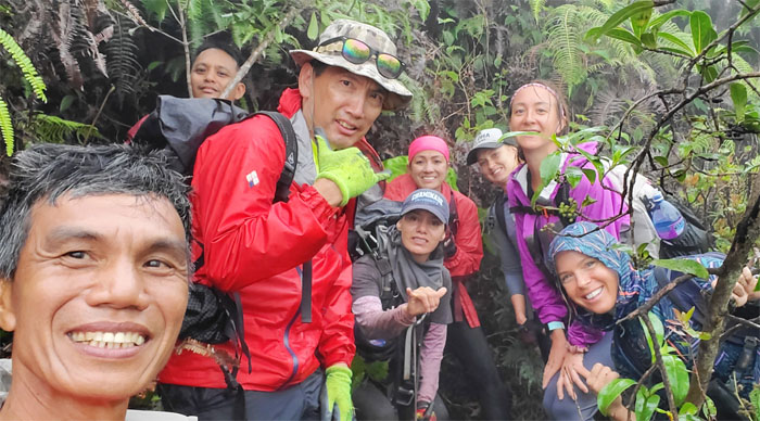
Three in the back, four in the front. That’s how we roll. Photo by Chris Bautista.
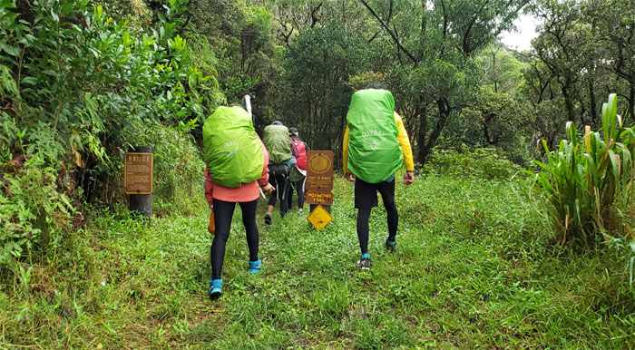
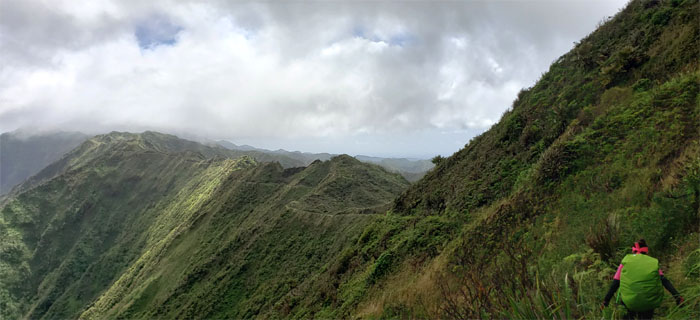
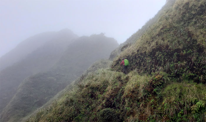
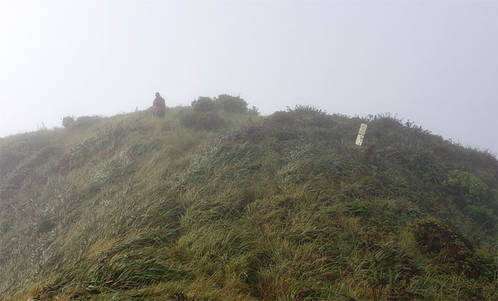
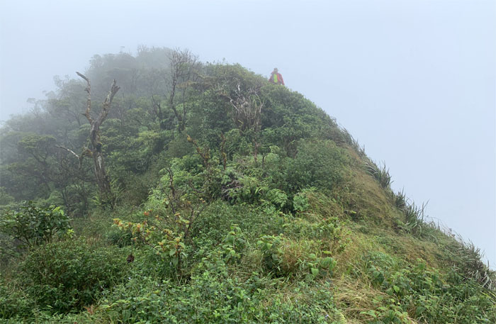
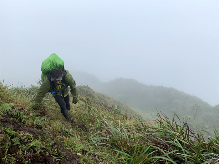
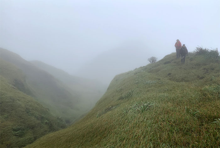
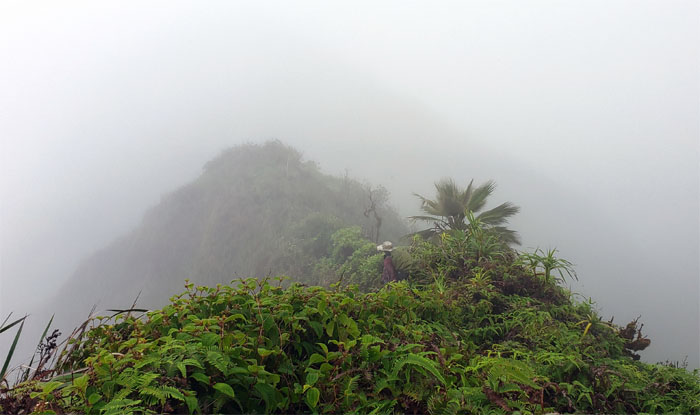
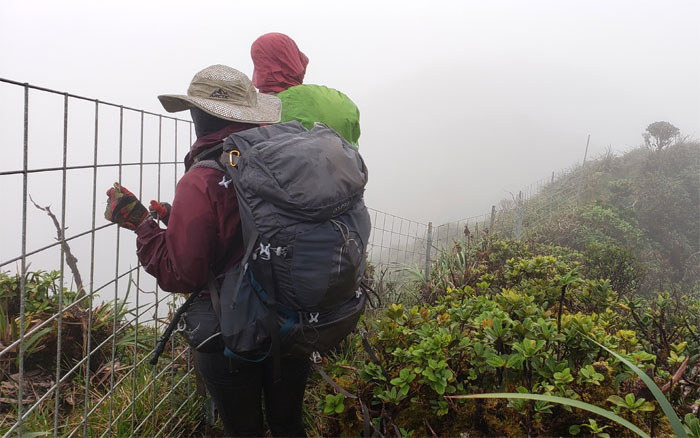
Trailhead
Heading into the weekend.
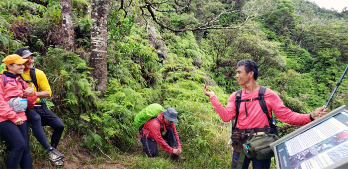
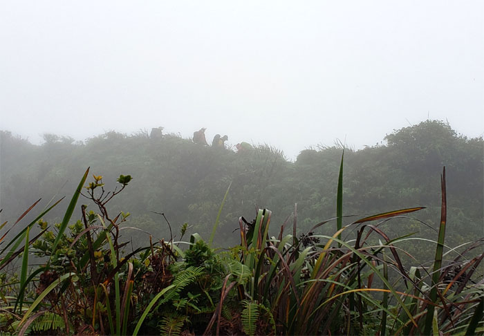
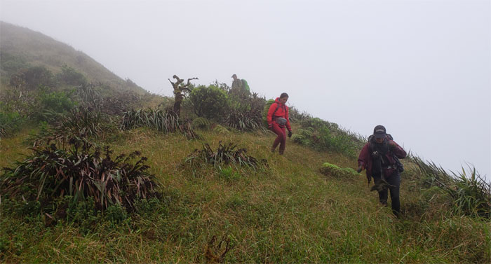
Poamoho Trail
Everybody was doing something at the halfway point. Bench warming, shoe lace tying, bathroom break and photo taker.
Poamoho Stream
Anne and Kip crossing the trickling stream that was within ten minutes of the summit. Photo by Ferlino Carinio.
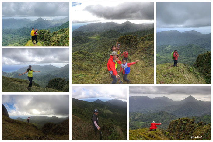
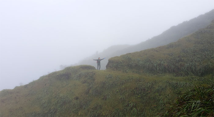
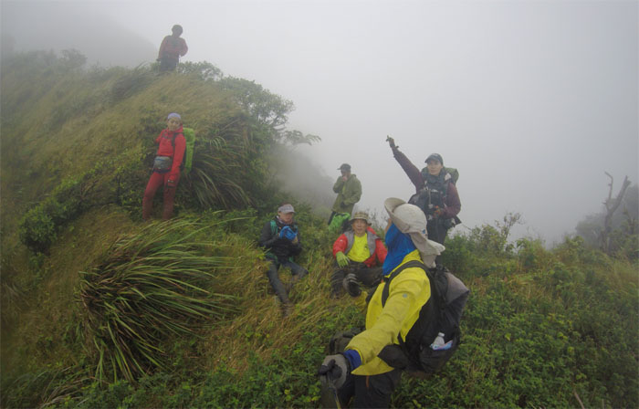
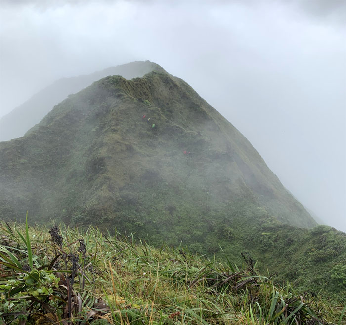
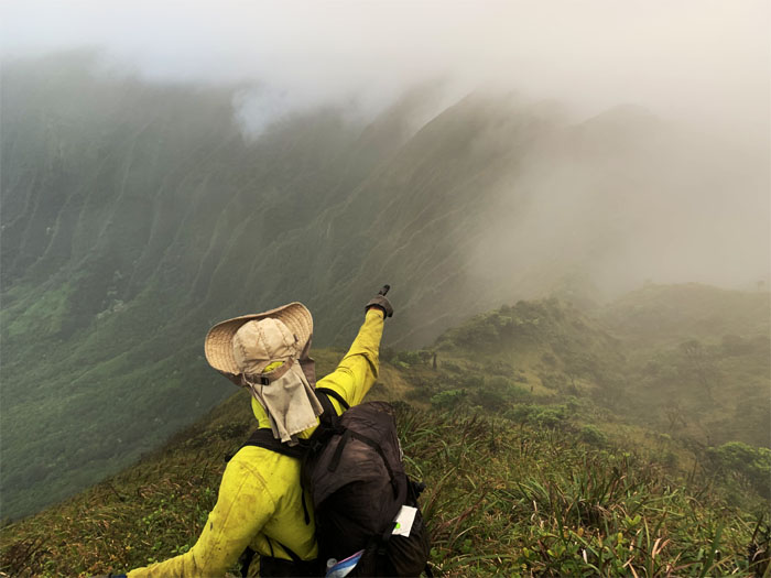
Poamoho Summit
Everybody enjoying what many claim are the best views on the island. No argument here.
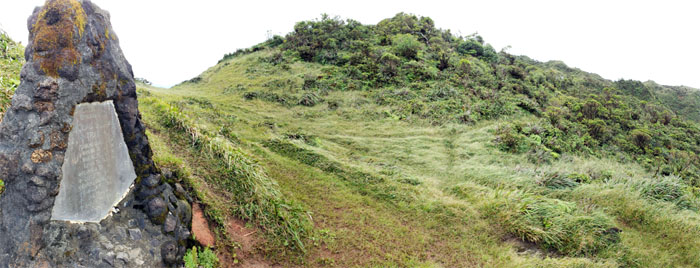
Cline Memorial
Enjoyment time started to exceed expectation time, as we still had 4.9 miles to cover before setting up camp or so we thought.
Boardwalk
Walking on the 300′ section of elevated footpath built to prevent the invasive spread of unwanted seeds.
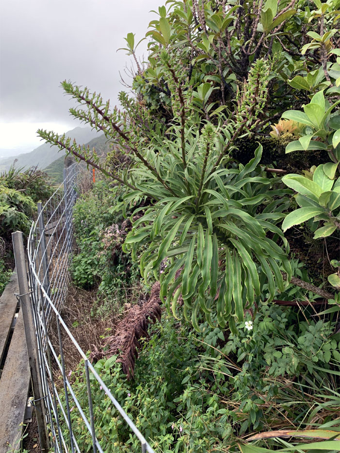
Lobelia
The multiple flower stalks extending from the base were not quite ready to flower. Photo by Chris Bautista.
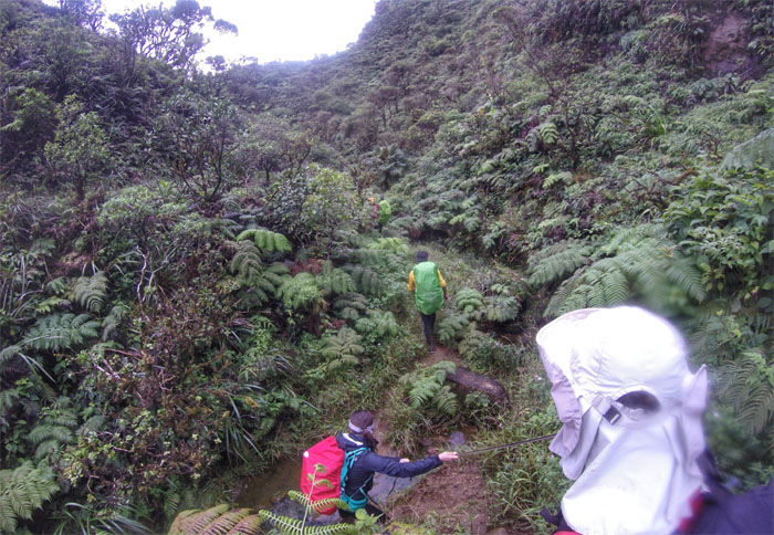
Poamoho Trail
Getting our feet wet as we made our way up the trail filled with pockets of muddy water. Photo by Chris Bautista.
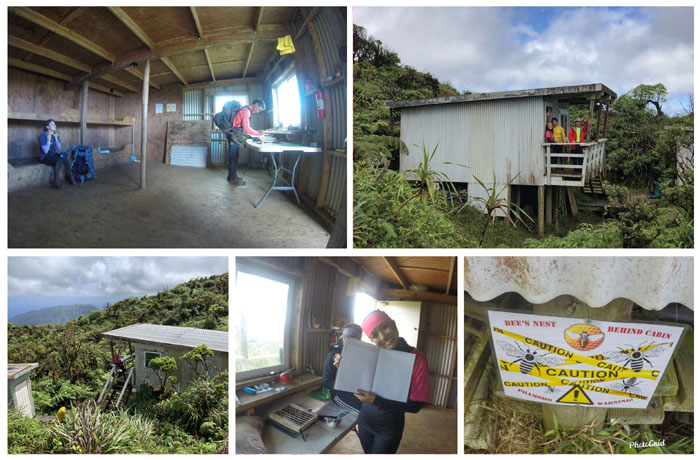
Poamoho Cabin
Our stay at the storied cabin was short and sweet. I once read that the old cabin used to have a wood burning stove, too bad the present cabin can’t say the same.
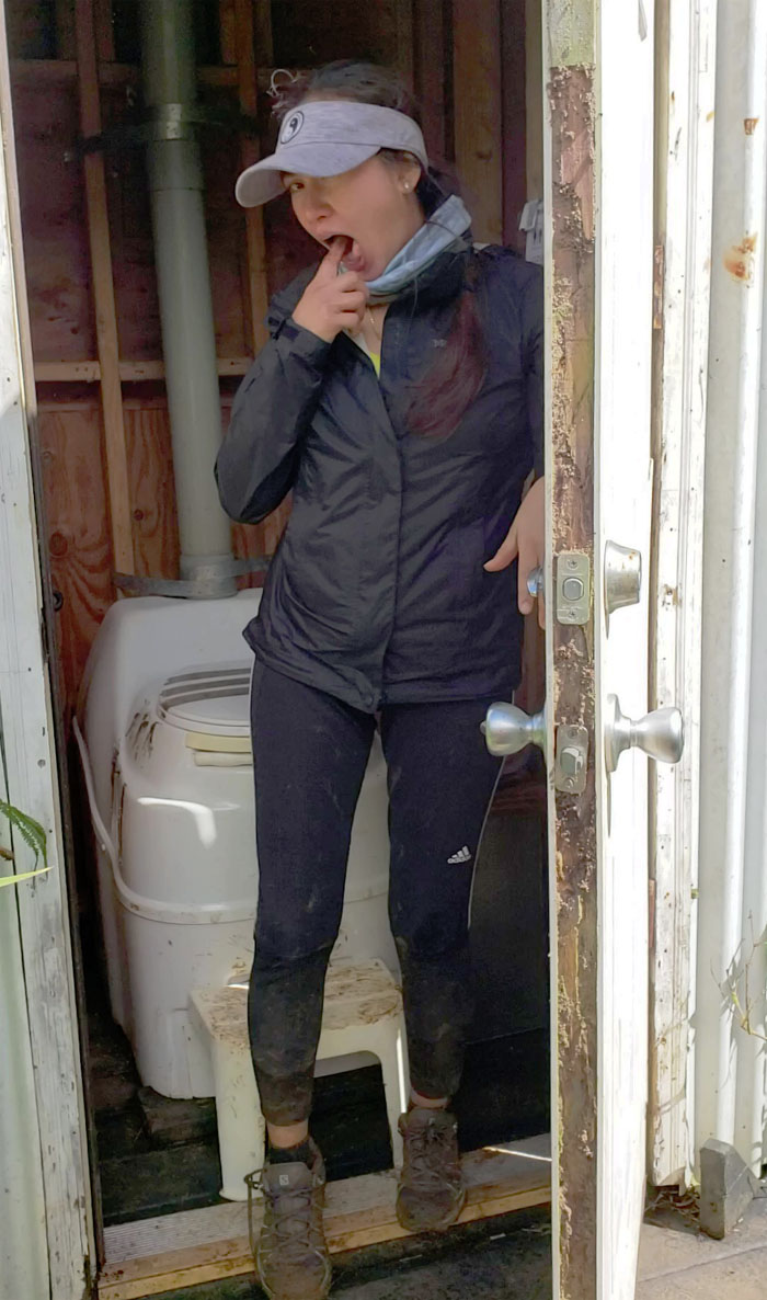
Bathroom humor
When Nutella goes bad.
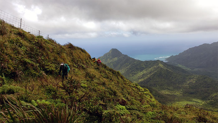
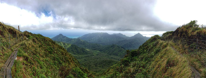
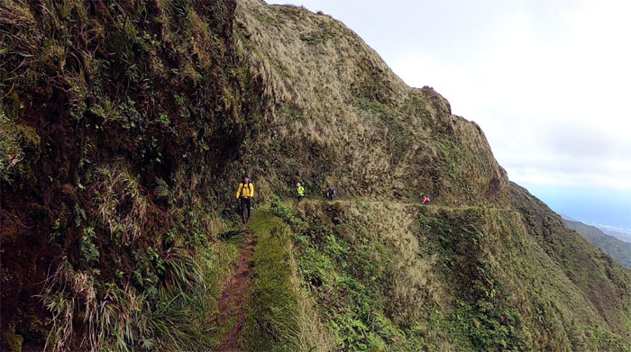
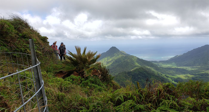
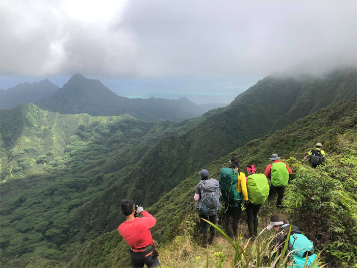
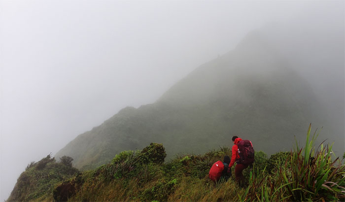
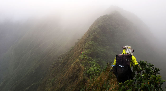
Ko’olau Summit Trail (KST)
Looking back at Pu’u Ohulehule in the background.
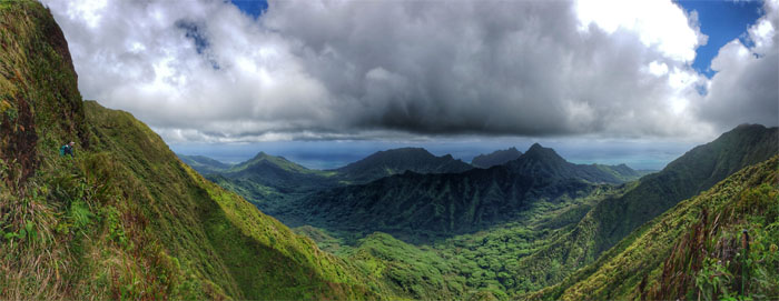
KST
Enjoying the scenic stretch of the trail with expansive and exquisite views of the Windward side.
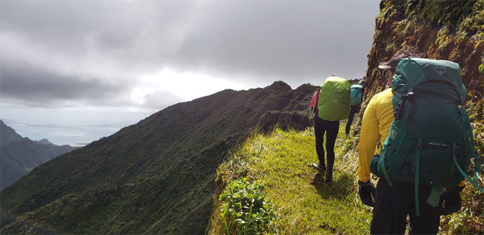
KST
Walking on the “sidewalk” of a trail, which I understand once measured four feet wide when it was originally built in the 1930’s. Photo by Analyn Baliscao.
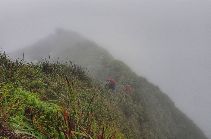
Notch
When your progress is temporarily halted and you become an unintentional photobomber. Photo by Chris Bautista.
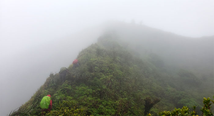
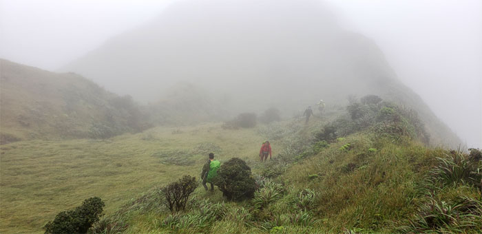
KST
Passing one of many windswept meadows that populate the mountains.

KST
Hugging the carved trail that followed the ridge line. Photo by Chris Bautista.
Pauao Junction
Yoly sitting at the 2,680′ spur ridge terminus that drops down into Kahana Valley. Photo by Ferlino Carinio
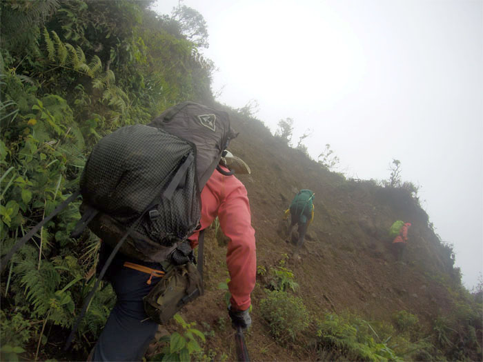
KST
The trail soon became uneven and interrupted with landslides and false holes.
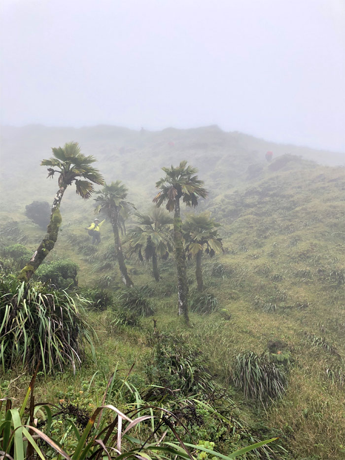
KST
Ferlino and Yoly passing by one of many native palm trees with their corrugated fan leaves.
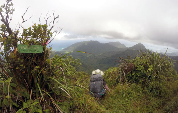
Schofield-Waikane Junction
Our four valley views of Kahana, Ka’a’awa, Hakipu’u and Waikane from the 2,360′ open grassy spot.
Schofield-Waikane Junction
We met Arnold at the junction who was doing an out and back hike on the rugged and overgrown 12 mile Schofield-Waikane Trail.
Schofield-Waikane Junction
Leaving the original terminus of the Ko’olau Summit Project. Photo by Arnold Yago.
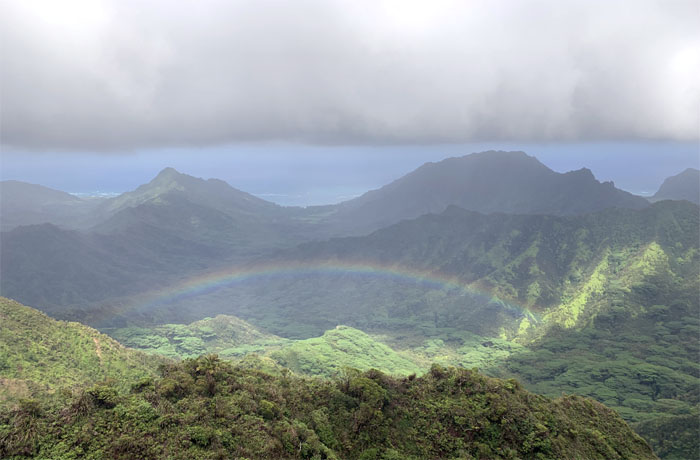
Rainbow
Catching the reflection and refraction of light in the water droplets below us. Photo by Analyn Baliscao.
Waikane-Waiahole Junction
Chris approaching the trail that soon split into two paths.
Waikane-Waiahole Junction
Taking the higher trail lest we end up in the valley.
KST
Chris hiking through the cloud soaked trail.
Landslide
Crossing over the unstable slope that is still surprisingly sparse of vegetation from over two years ago. Photo by Ferlino Carinio.
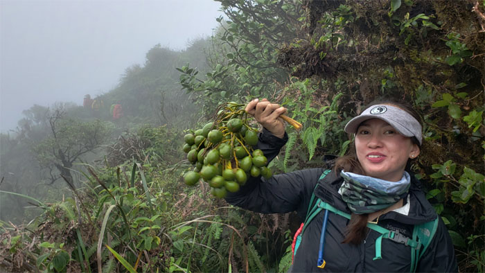
Trail Candy
Anne harvested the immature fruits with the chewy center before the rats ate them all.
Carved Rock
Chris passing the rock that bears the initials of previous hikers.
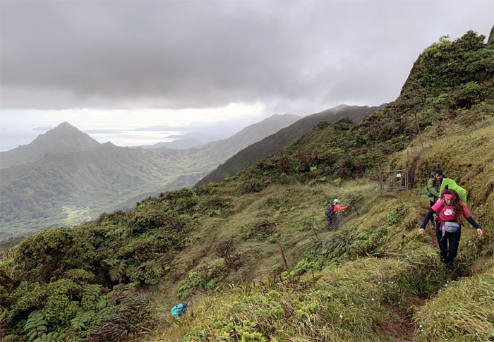
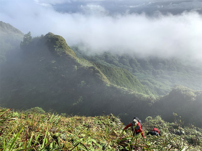
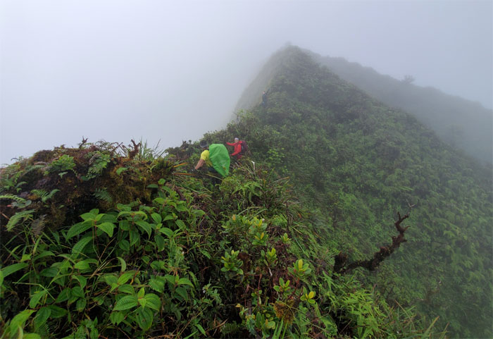
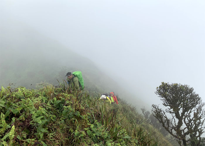
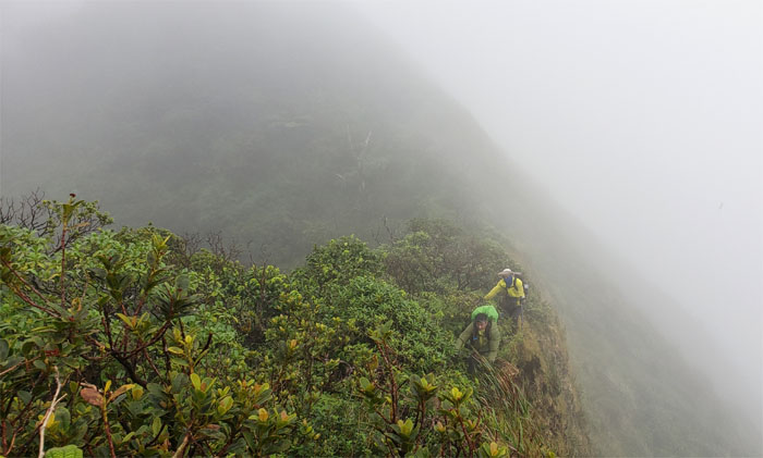
KST
Making our way on the exposed Windward ridge before crossing over to the sheltered Leeward side.
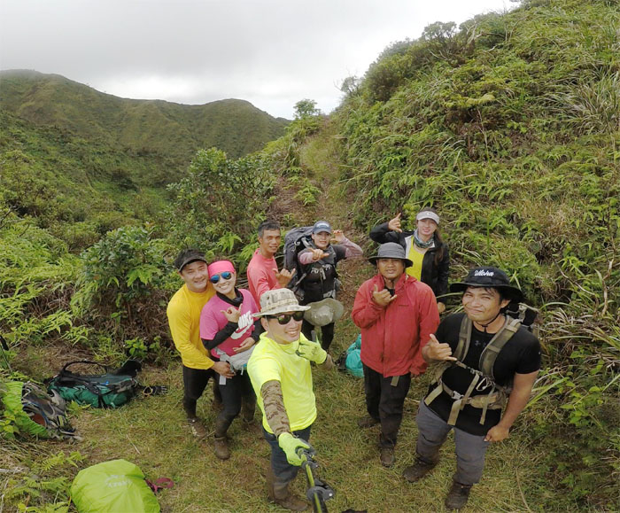
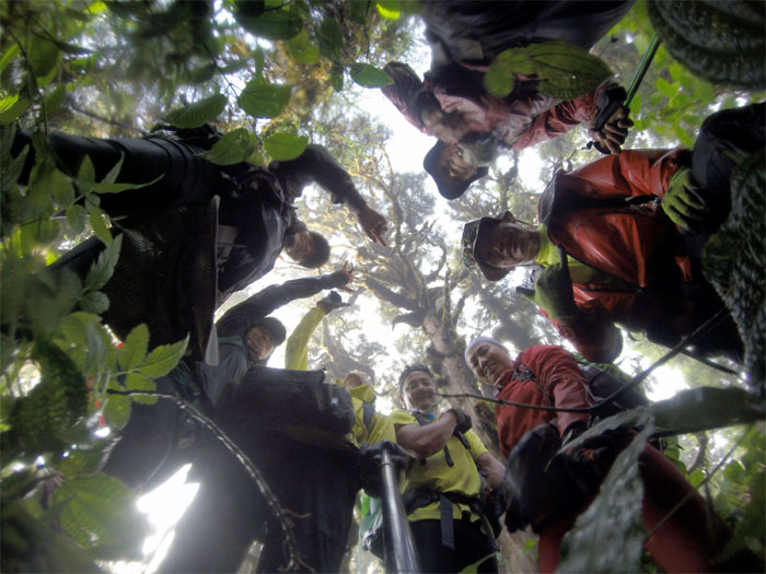
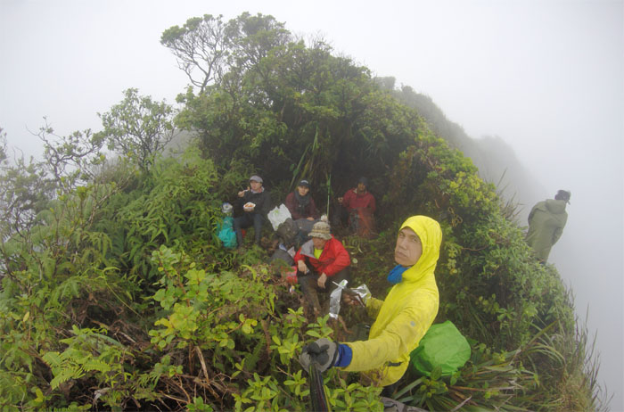
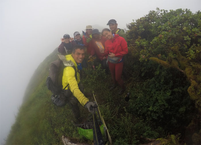
Trail meeting
We met another group hiking from Manana, that were also helping a friend to finish the KST as well. Group photo left to right: Ferlino, Chris, myself, Yoly, Analyn, Tanya, Audrey and Stacy. Photo by Ferlino Carinio
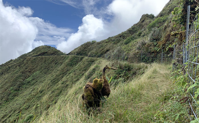
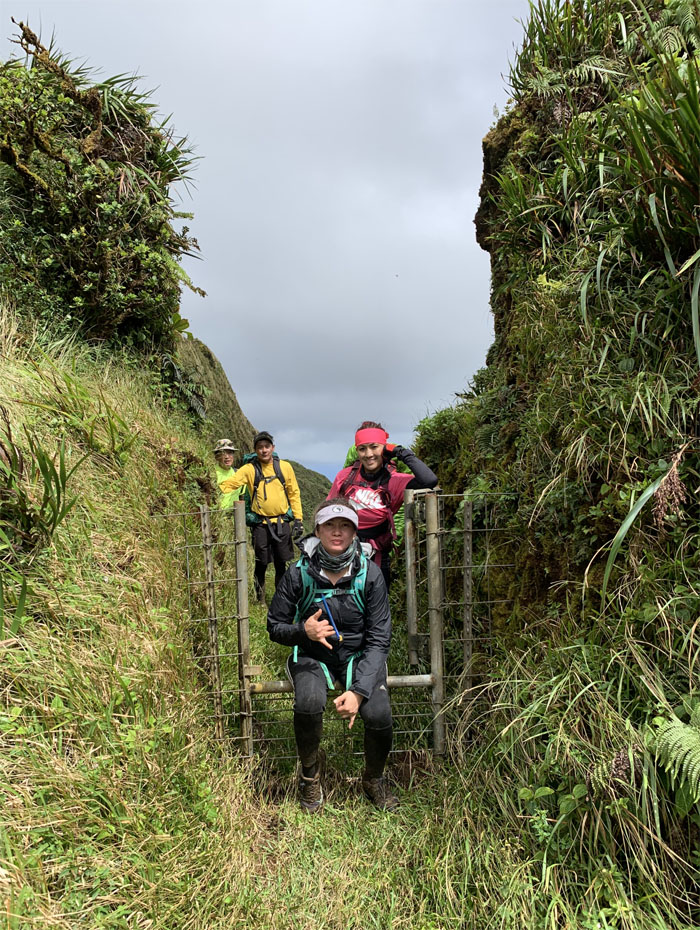
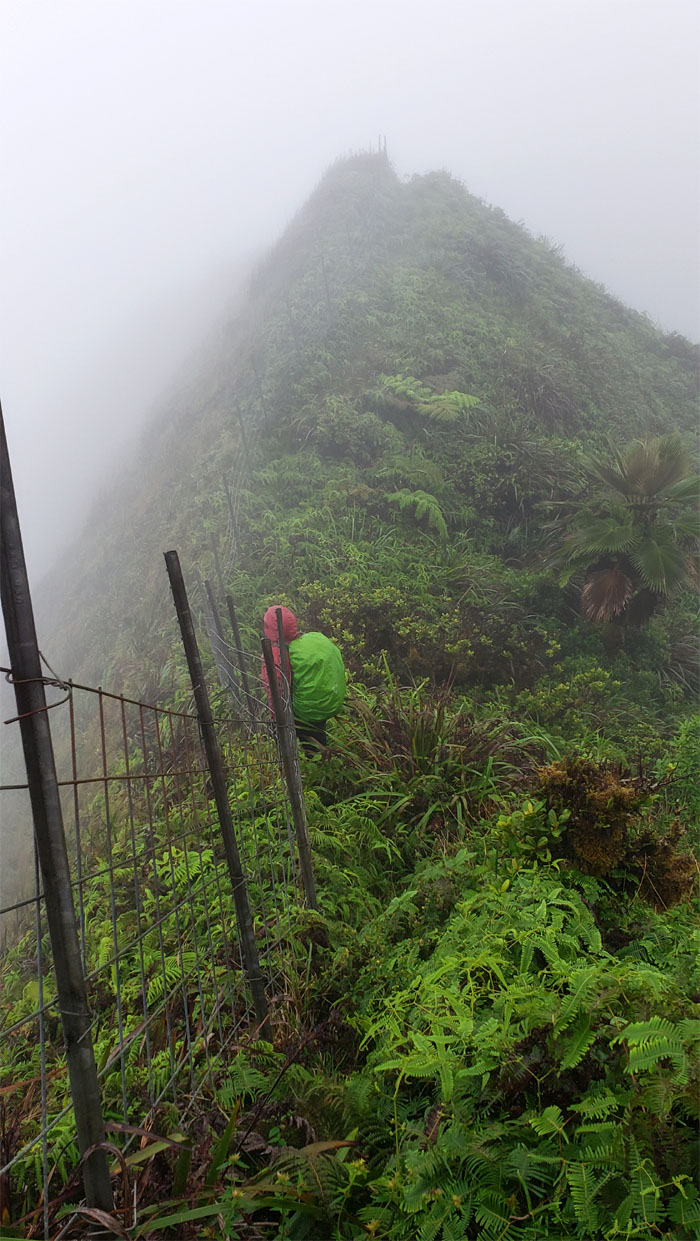
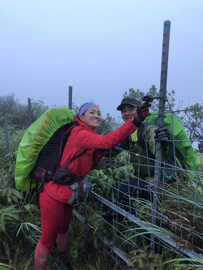
Fence Junction
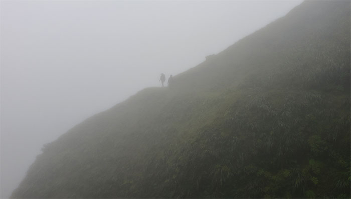
Stepping over the fence line as the trail twisted and turned in the misty mountains.
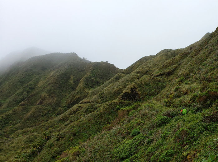
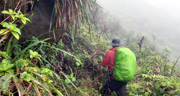
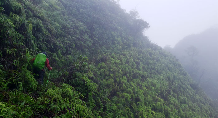
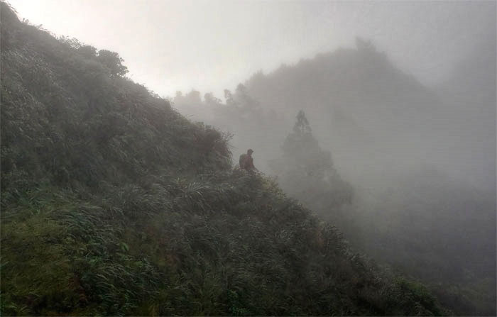
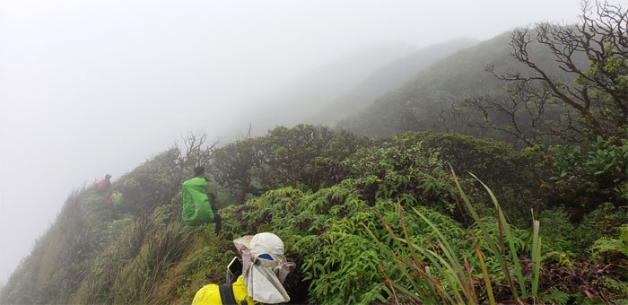
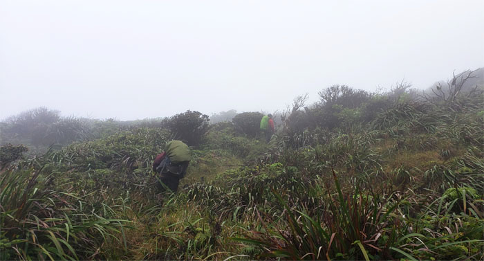
KST
Hiking through the Leeward side of the mountain that protected us from the biting wind but not the congested overgrowth and hanging clouds.
KST
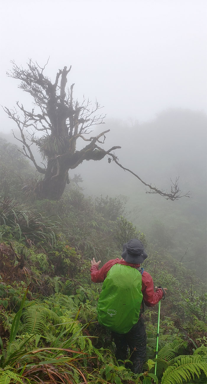
Chris passing a weathered tree whose stunted and gnarled branches added texture and character to the trail.
KST
Following the fence down the slippery slope.
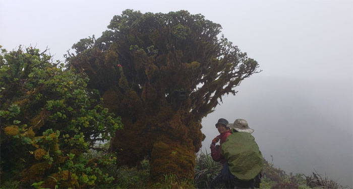
Tree of Life
We arrived at the Tree of Life pass where the horizontal Sugi Cedar was still alive and well, as they can live for more than 500 years.
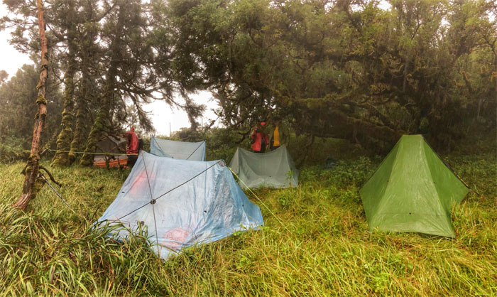
Camp Site B
Daylight hours were dwindling and rain was in the air, so we decided to call it a day and set up camp. Photo by Anne Fai.
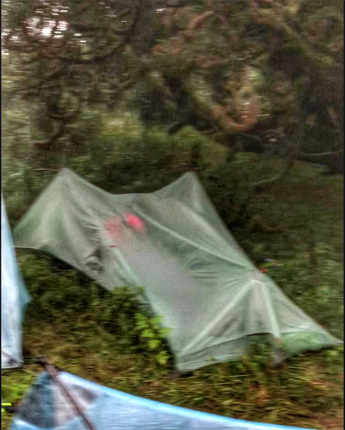
Camp Site B
Is that a bivvy bag or a tent? Photo by Anne Fai.
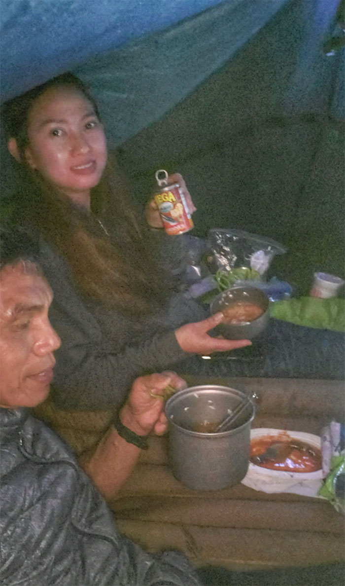
Dinner
The steady rain kept us isolated in our tents as we ate our supper and turned in for the night. Photo by Ferlino Carinio.
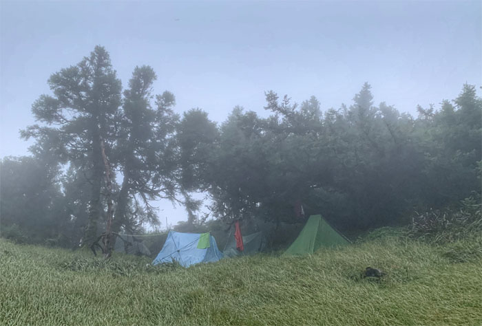
Camp Site B
Waking up to the earthy smell left by the overnight rain showers. Photo by Chris Bautista.
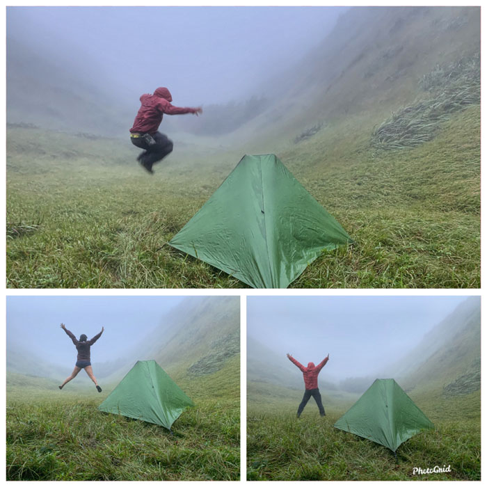
Tree of Life
Doing our morning calisthenics to get the blood flowing.
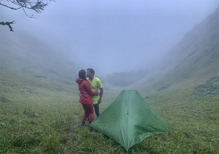
PDA
Get a tent already.
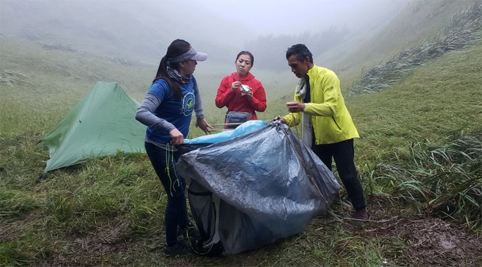
City&County
Analyn getting pointers on how to properly pitch a tent.

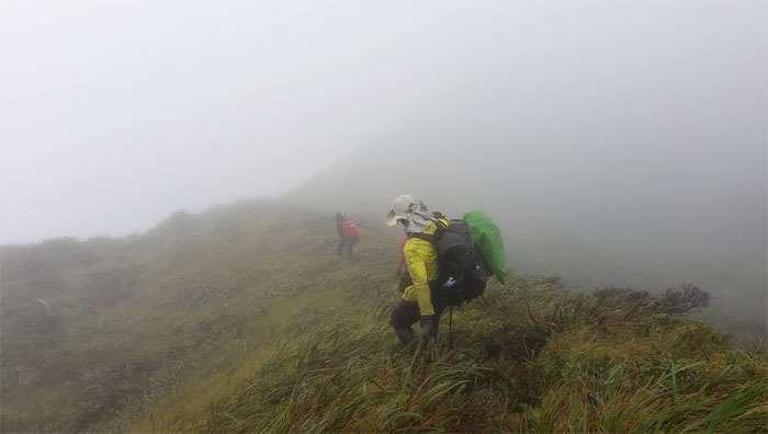
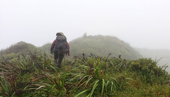
KST
Leaving the dew dropped pass as we had a lot of ground to cover for today. Photo by Chris Bautista.
Selfie Stick Junction
Just missing the camera. Photo by Anne Fai.
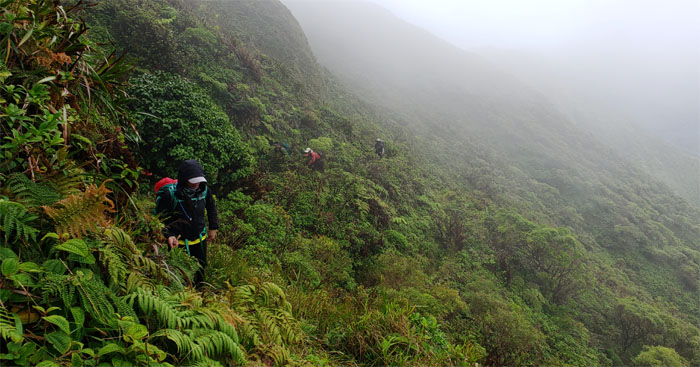
KST
Chris crossing the trail that interrupted the cascading uluhe ferns.
KST
Anne coming around the man-made notch in the trail.
KST
Chris below the summit of Waiahole.
KST
Forest bathing in the grove of Japanese sugi cedar trees planted back in 1935. Photo by Ferlino Carinio.
KST
Climbing our way above the tree line and clouds. Photo by Chris Bautista.
Kipapa Summit
Chris passing the 2,786′ summit that was once home to Uncle Tom’s Cabin circa 1927.
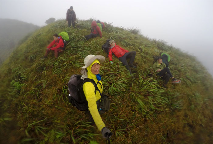
Ko’olau Summit Ridge Trail (KSRT)
Traversing on top of the ridge line and dealing with the knee to waist high overgrowth and that banged and scratched our lower extremities.
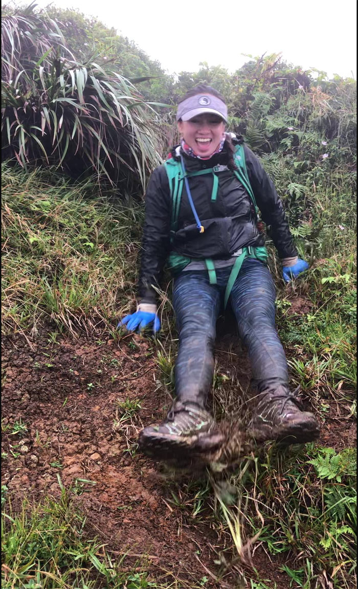
Mud Slide
Anne letting her butt do the sliding.
KSRT
Trying to stay on the trail becomes a bit tricky when the mountains close off your views.
DoubleShot Mocha
When you have to reverse hog-tie a person to get them to take their caffeinated drink. Photo by Anne Fai.
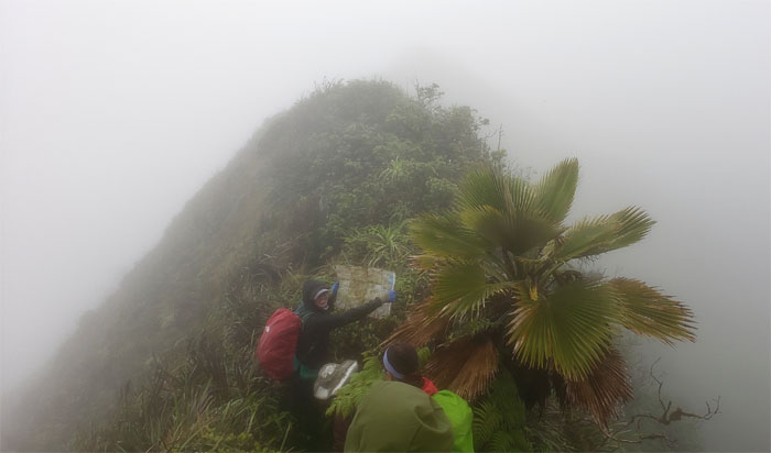
Land Navigation
We found a map! Who knows how to read one?
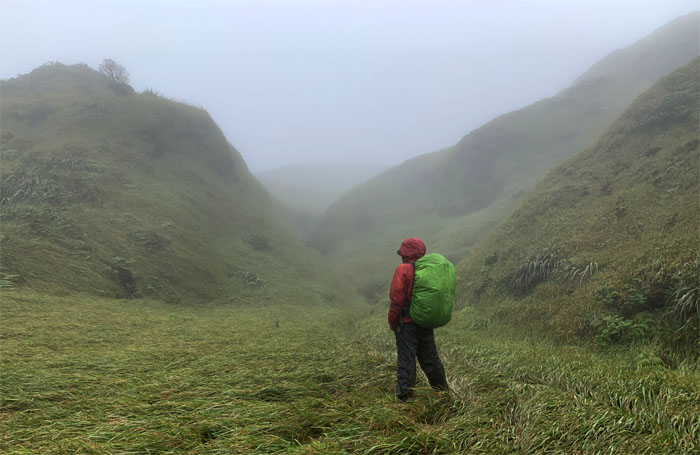
Waiawa Gap
Big ups … Photo by Analyn Baliscao.
Waiawa Gap
… and downs.
Waiawa Gap
Making my way down to the middle of the gap. Photo by Chris Bautista.
Waiawa Gap
Trying in vain to gather everybody for a group photo at the 2,100′ dip. Photo by Ferlino Carinio.
Waiawa Gap
Climbing our way out of the gap, where we must have disturbed a beehive as Analyn, Anne and myself got stung multiple times. The rest of the group escaped unscathed.
Waiawa Gap
Ferlino making his way up through the stand of palm trees. Photo by Anne Fai.
Waiawa Gap
Climbing up the mountain where our shoes left divots in the soft and spongy ground. Photo by Analyn Baliscao.
KSRT
Our sheltered break spot was marked with solitary sulking, pissing in the wind and hunkering down from the cold wind. Photo by Ferlino Carinio.
KSRT
Climbing up more hills as we passed countless false summits.
KSRT
Taking another break as dictated by the hills and weather. Photo by Ferlino Carinio.
KSRT
Making our way down to another meadow in the mountains. Photo by Chris Bautista.
KSRT
Is it too much to ask for a view every now and then?
The Corner
Kip making his way down to dip into the isolated pockets of stagnant water for possible future hydration.
The Corner
Got pakalolo?
The Corner
Leaving the trickling creek in the corner. Photo by Chris Bautista.
KSRT
Winding our way through the bog like terrain as the trail turned counter-intuitive.
KSRT
Rounding the massive ohia tree.
KSRT
Back on the ridge line.
KSRT
Are we there yet?
Manana Summit
Relationship goals at the 2,660′ knob. Photo by Ferlino Carinio.
KSRT
Leaving the sound of music summit.
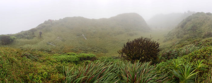
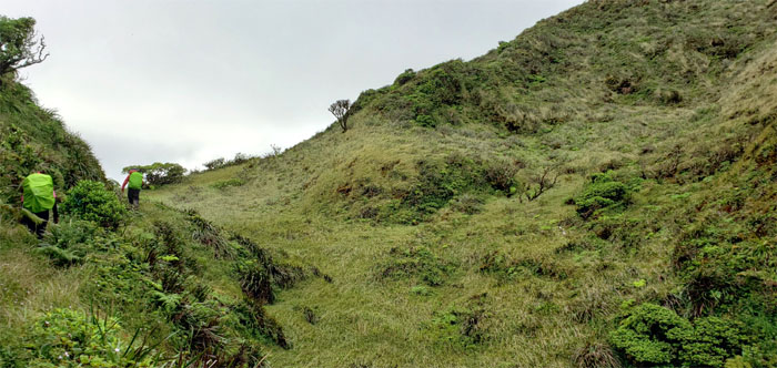
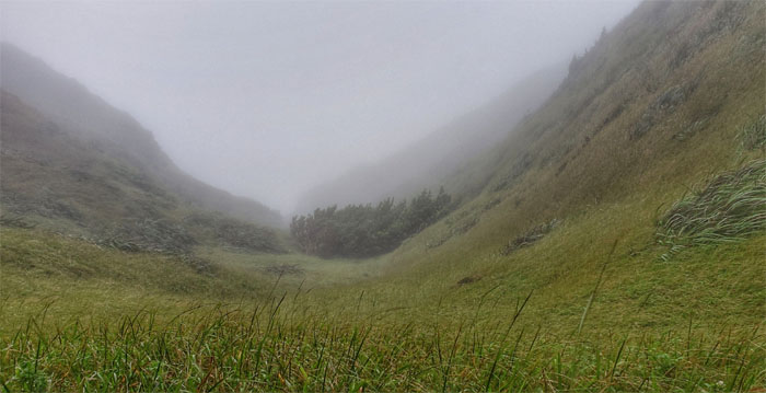
Eleao Meadows
We discovered stacks of fences in the meadows at the 2,654′ summit. A sign of the irreversible march along the Ko’olau’s.
KSRT
Trampoline time. Photo by Anne Fai.
KSRT
The fence distracted us into continuing down the spur ridge.
KSRT
Back on the ridge trail.
KSRT
The clouds temporarily lifted to reveal the fluted mountain range ahead of us. Photo by Analyn Baliscao.
KSRT
False summit after false summit constantly mocked us as we made our way on the roller coaster ridge.
KSRT
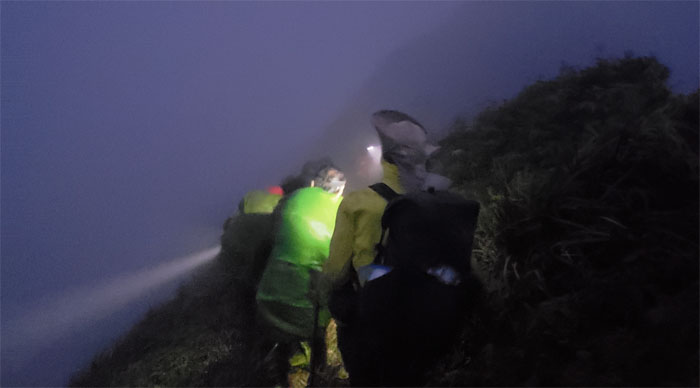
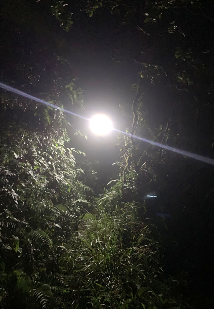
Natural illumination was soon replaced with artificial illumination. I preferred to train my night vision for the upcoming holiday hike.
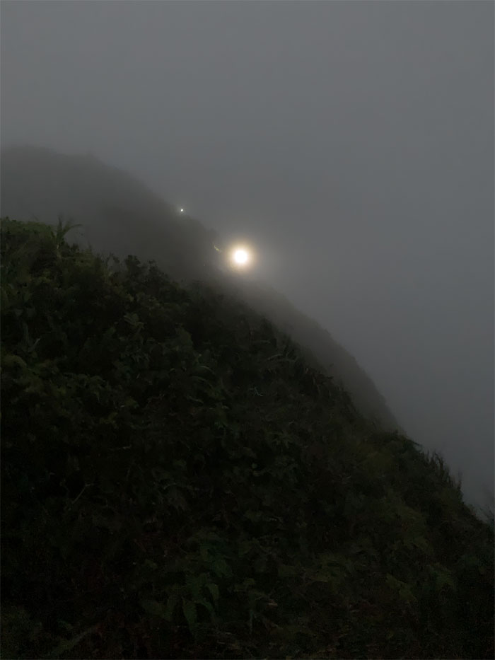
Night Marchers
A couple humps later and then the semi-recognizable landslide marked our descent into the saddle. Photo by Chris Bautista.
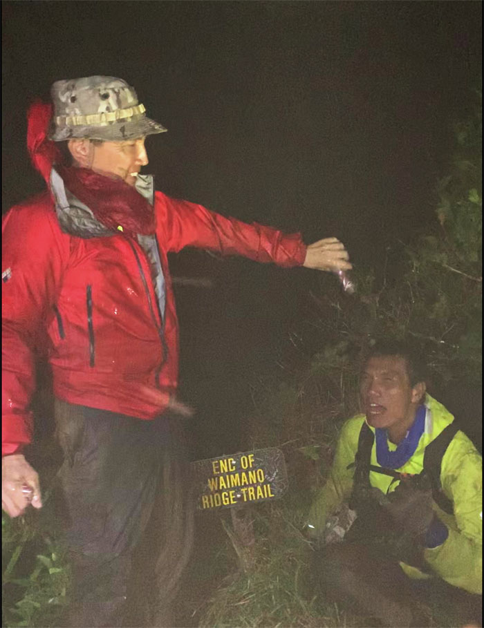
Waimano Summit
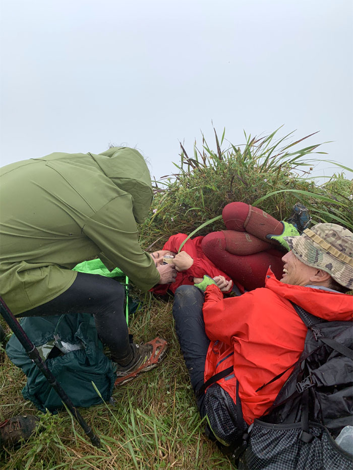
Champagne congratulations to Ferlino for completing his last section he needed to finish the Ko’olau Summit Trail in its entirety. Photo by Analyn Baliscao.
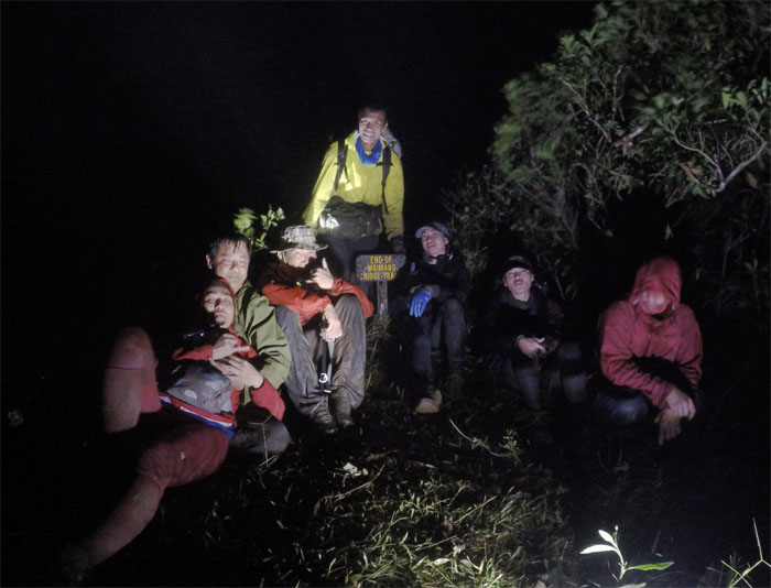
Waimano Summit
Give me your tired, your soaked, your huddled masses yearning to go home.
Waimano Trail
Once the alcohol tinged celebration wore off, we left the 2,160′ summit as we made our way down the dark and overgrown trail. Photo by Chris Bautista.
Waimano Trail
Going down the seemingly never ending 7.5 mile trail that were populated with irrigation tunnels, minor rock obstacles, a picnic shed and overgrowth. The miles did not melt away fast enough. Photo by Ferlino Carinio.
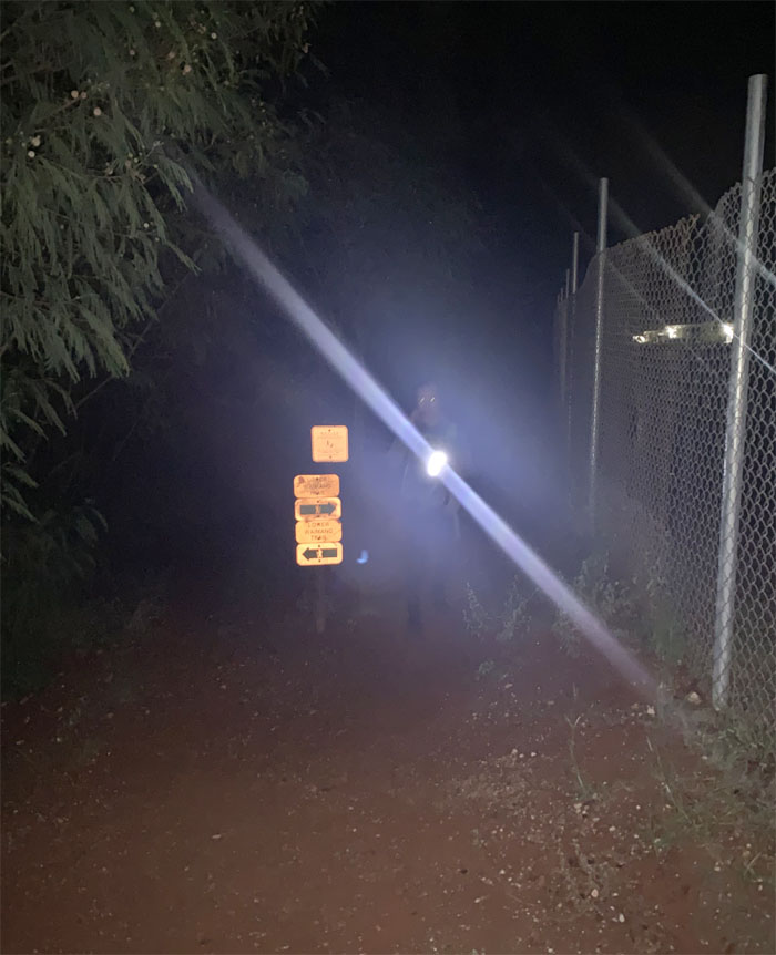
All pau
A big thanks to Jasmin for patiently waiting for our exit from the trail with boxes of cold chicken, pizza and soda. Photo by Chris Bautista.
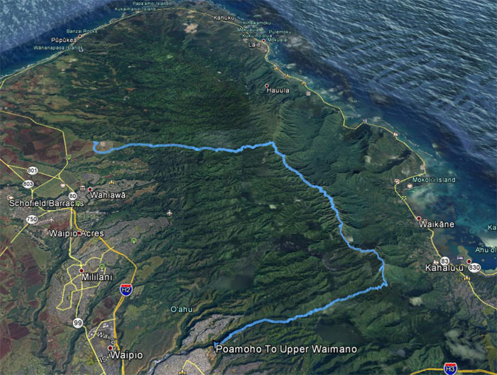
GPS Tracks
Our two day turned three day hike covered 20.33 miles through rugged terrain and harsh weather made bearable by good company and intermittent views. Congratulations again to Ferlino for finishing the KST.
Note: I have been made aware that some hikers have been using my blog as a hiking guide and getting lost on the trails. Please note that this blog was made to document the hike for the crew(s) that did it. That is why some of my comments will seem to have no relevance or meaning to anybody outside of the crew(s) that hiked that trail. My blog was never meant as a hiking guide, so please do not treat it as such. If you find inspiration and entertainment from these hikes, that is more than enough. If you plan on replicating these hikes, do so in the knowledge that you should do your own research accordingly as trail conditions, access, legalities and so forth are constantly in flux. What was current today is most likely yesterdays news. Please be prepared to accept any risks and responsibilities on your own as you should know your own limitations, experience and abilities before you even set foot on a trail, as even the “simplest” or “easiest” of trails can present potential pitfalls for even the most “experienced” hikers.
{ 2 comments… read them below or add one }
What an epic hike! Congratulations to Ferlino for completing his goal! I had to laugh at some of the captions…PDA, relationship goals, nutella gone bad! Loved the pockets of humor in between serious or factual descriptions of the photos.
Aloha Aida,
Thanks. I do my best to keep a balance between humor and facts. LOL.
Mahalo