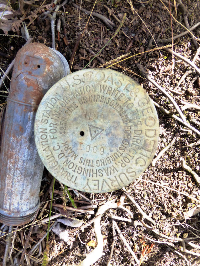
Back for another grinder. I joined Ted and his crew of Steve, AJ, J, Tom, Laredo, LyZel, Sara, Heather, and Randy. We were piggybacking on Marvin’s first leg of his three day trek from Pupukea to Waiahole Uka. What a way to spend the Memorial Day weekend! We were doing the abbreviated version from Pupukea to Laie, which was far enough for me.
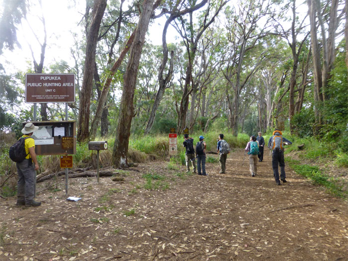
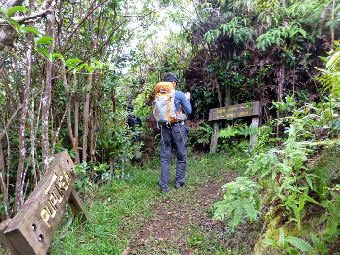
After staging some of our cars in Laie, we all met at the end of Pupukea Road. There are actually some very nice houses nestled in this area. We set off past the Boy Scout Camp and Sunset Ranch and headed off into the hills of Pupukea.
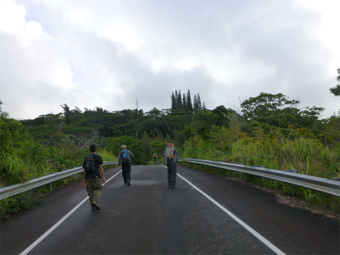
Eventually the dirt trail turned into a stretch of asphalt road known as Paalaa Uka Pupukea Road, which was originally built by the military.
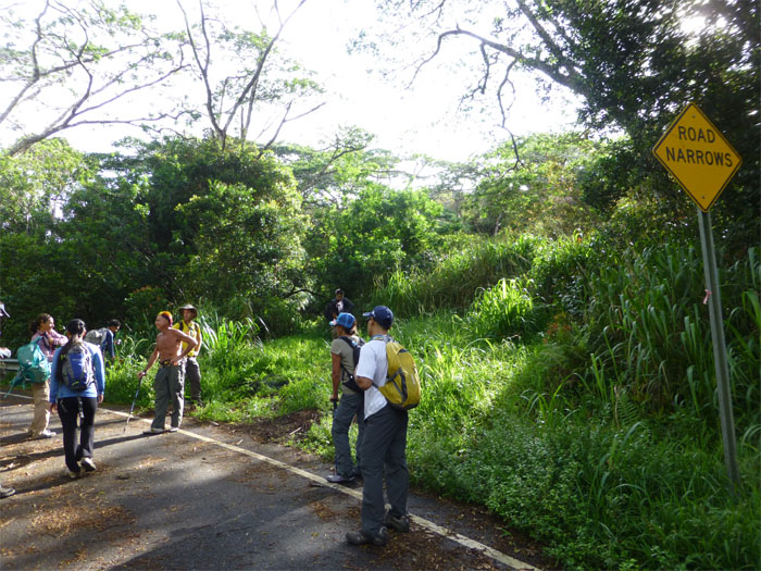
After pounding the pavement for about 40 minutes, we finally came to the junction that would lead us into the bushes.
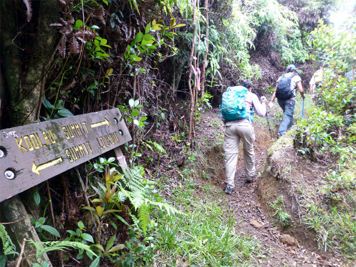
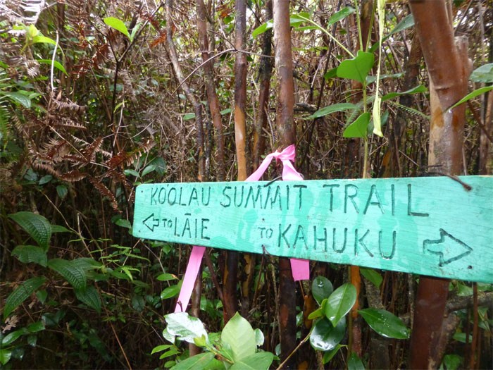
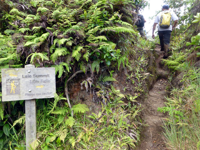
A short while later, we came across these well constructed signs that pointed to a summit lookout.
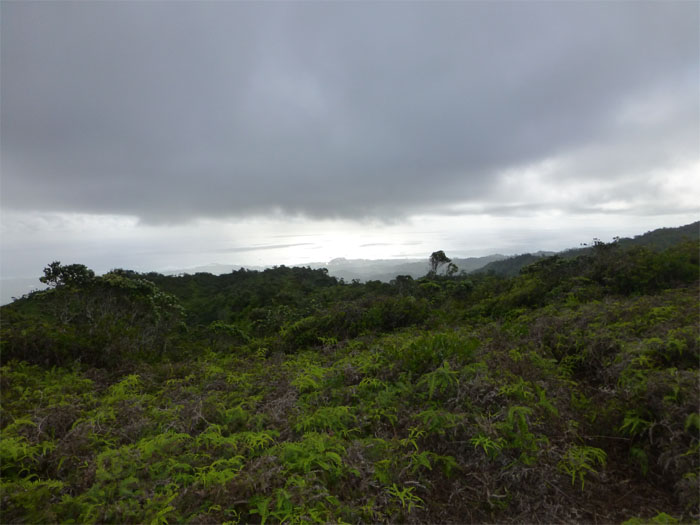
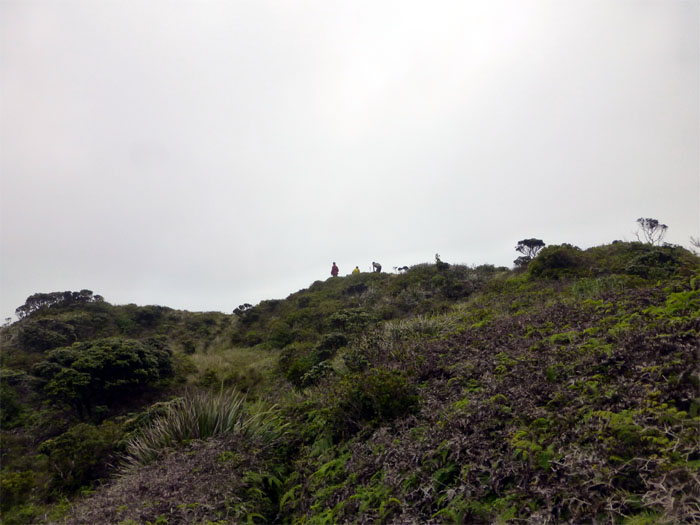
A wide open area fringed with heavy vegetation marked the summit lookout. Light rain showers resulted in a number of us digging into our backpacks for some rain gear.
We got back on the trail and thankfully, left the rain showers behind us.
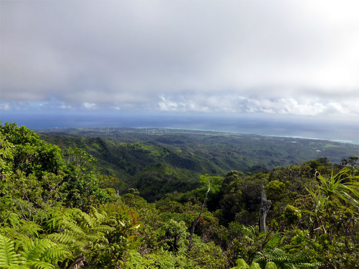
Looking north to Kahuku and the wind farm populated by giant pinwheels.
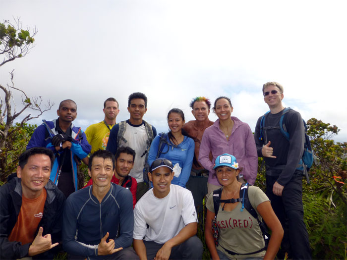
Group photo. Back row left to right: Marvin, Steve, Ted, LyZel, Laredo, Sara and Randy. Front row left to right: myself, Tom, J, AJ and Heather.
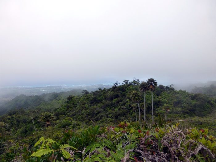
Looking out towards Laie with the native Loulu Palm trees dotting the flanks of the Koolaus. It was around this point in the hike, that my foot got stuck in a tree root and my body went the other way. Now I had a nicely sprained ankle halfway through the hike. Nothing like an injury to build character. Or something like that.
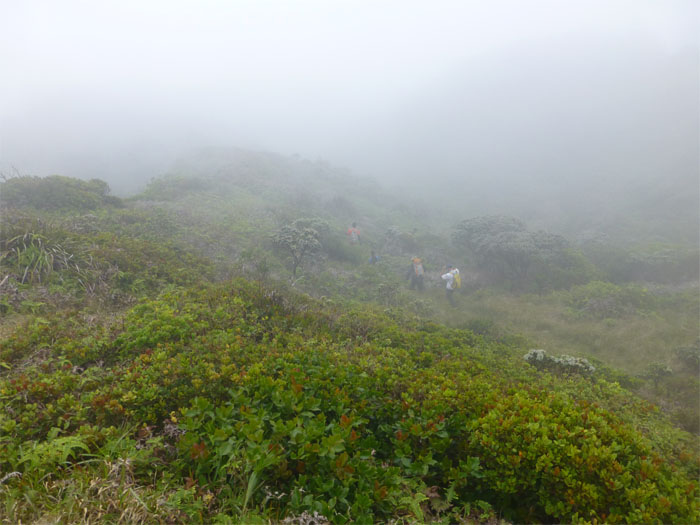
The trail soon became a thicket of strawberry guava trees, ferns and heavy jungle vegetation.
As we neared the Laie summit, the heavy growth tapered off somewhat, but it was still a bear.
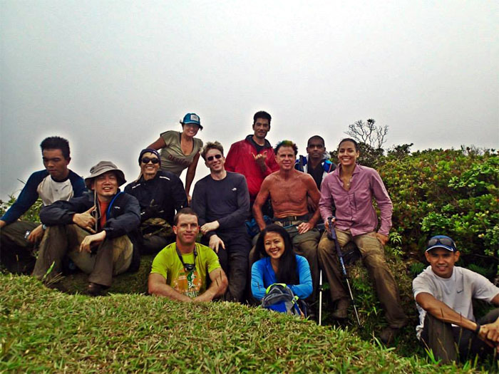
The wind was whipping up at the summit, Laredo is one tough bastid hiking sans shirt. I don’t see how he does it. Group photo. Back row standing left to right: Heather, J and Marvin. Front row sitting left to right: Ted, myself, Tom, Steve, Randy, LyZel, Laredo, Sara and AJ. Photo by Heather Mina. Marvin and our group soon parted ways as he continued on the KST and we went down the Laie trail.
As we descended down the Laie trail, we soon left behind the clouds and cold, biting wind. Nice change of pace from the last time.
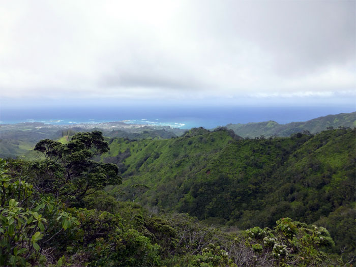
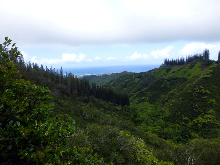
We could actually see the coastline and the ridges coming down. The last time we were on the trail, it was under the cover of darkness and rain.
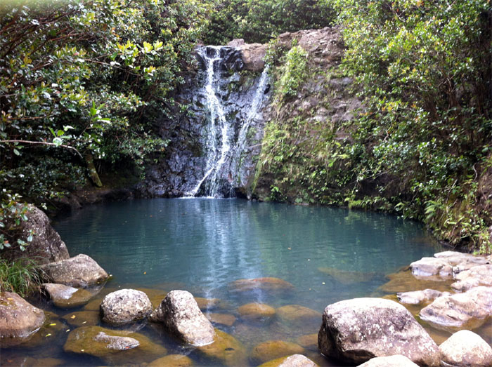
The rest of the group made their way up to Laie Falls, while I choose to continue hobbling down the trail.
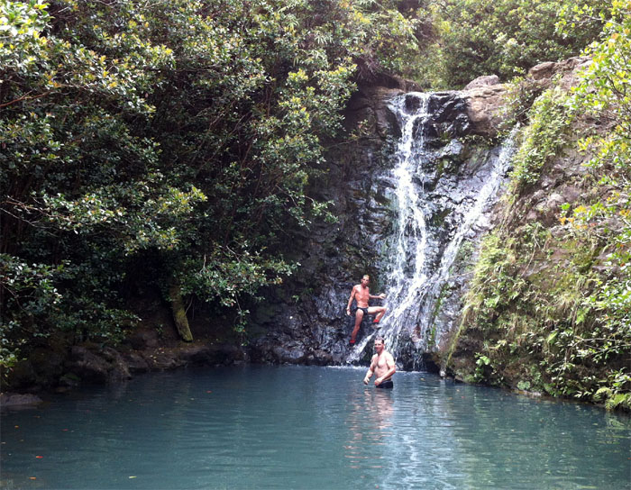
The group had a nice and refreshing swim in the pool below Laie Falls, makes me wish I had gone up the trail, sprained ankle and all. Photo by Tom Engle.
NSFW…LOL. Photo by Tom Engle.
The abundance of Pine trees marked the lower elevation of the trail, reminds me of the Wa’ahila trail.
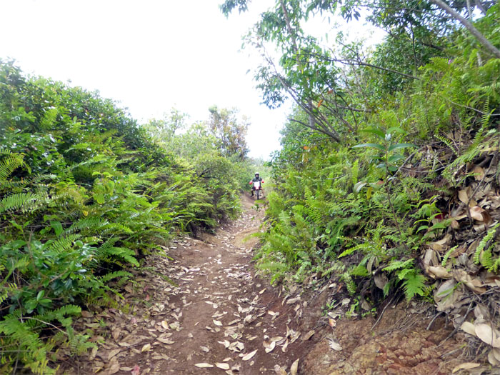
For some reason, walking down this trail as it transistions from strawberry guava trees and uluhe ferns to pine trees and dirt bike trails, make it seem longer than it’s five miles. Maybe it’s just me.
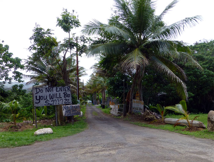
Colorful signs and language greeted us as we made our way out from the trail. These made my day.
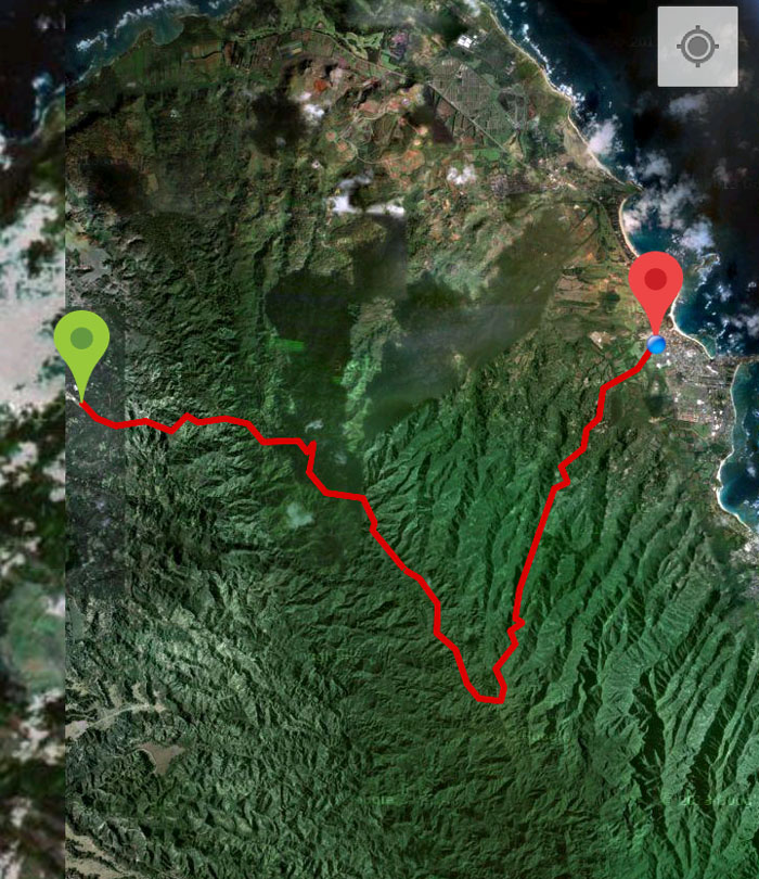
The 13.3 mile hike took us under 8 hours to complete even with a side trip to Laie Falls and my bum ankle. For some of us, it was off to Papa Ole’s for some ono grinds after getting back to our cars. I’m so glad we didn’t need to use headlamps on this hike.

{ 21 comments… read them below or add one }
Hey Kenji great write up as always. I’m thinking of doing this one soon – is there any chance of confusion between the top of Pupukea to the top of La’ie? Pretty straight forward or are there side trails that can get you off course?
Howzit Nate,
If I remember correctly, it’s pretty much straightforward, you got signs pretty much guiding the way. The only point is when you get off the paved road and into the bushes, there is a “road narrows” sign that marks the junction. Miss that and you may wander for awhile. I can send you the gps tracks if you want.
You plan to take Max too?
Mahalo!
Thanks Kenji. I’ve done Pupukea and La’ie separately but not the connection – sounds like I *might* be able to pull it off without getting lost. Thanks for offering the track but I’ll give it a shot without it.
Max logged 18 miles this past weekend (Hau’ula-Papali Loop and La’ie) and seemed fine so I’ll probably bring him on this one. Mahalo!
I was hoping to go from pupukea to malekehana or laie. Would you mind sending me the gps file for the trail? I’ve been to the summit off the paved road but no further. email is stonezone @ gmail.
Thanks!
Howzit Zack,
I’ll email it when I get home tonight. Have fun. If I remember correctly, the trail is pretty much straight forward, didn’t really have any tricky junctions.
Mahalo
Sir,
Great post. We started the Laie Falls/Summit hike yesterday and believe the map was misleading. Although it was hand drawn and not-to-scale, it indicated that it was about two hours to the summit from the pine forest. Well, after hiking moderately for about two hours (from the pine forest) it seemed that we were nowhere near the top and turned around to head back down. I think we will give your route a run this next weekend from the other side and would like to know how long it took you to complete the hike. Can you also send me the GPS file? Thank you and great post!
Rob
Aloha Rob,
Glad you enjoyed the post. It took us roughly 8 hours from start to finish, this with a side trip to Laie Falls and my sprained ankle, so your time may vary. Hope you have great weather next weekend! Emailed you the tracks.
Mahalo!
Planning to mountain bike at Pupukea Monday and want to explore the beginning of your route (paved portion mostly) for next KST adventure. How for up your track do you think one can negotiate on a MTB? I imagine up to the turn off the paved road is as far as you could make it…
BTW, I love your posts and particularly the detailed maps you provide.
Thanks,
Ben
Aloha Ben
If I remember right, might be hazy as it was awhile back, I think after we left the paved road, there was at least 1-2 miles that a MTB could make it. But it might be soggy after the heavy rains this weekend.
Thanks and glad you enjoy the posts!
Mahalo
Aloha. Could I ask if you could email me the gps file?
Aloha Ivs,
I just emailed it to you. Please be advised that GPS tracks are not 100% accurate and the terrain and trails constantly shift and change.
Mahalo
Got it. Awesome! Mahalo!
Thanks for this great post. We are planning on hiking this trail in September. Would you mind sending the GPS tracks? Mahalo
Aloha Lupe,
Glad you enjoyed the post and thanks for visiting my site. I have emailed the tracks, but please keep in mind that the tracks are not 100% accurate and the terrain/trails do change over time. Be safe and have fun!
Mahalo
Got it. Mahalo #HappyTrails
Does this go through military land because I’ve hiked behind kahuku before and I needed to sign a form to get access.
Aloha Tom,
No the trail does not run through military land. It does not descend down through Kahuku.
Mahalo
Hey Kenji,
Awesome blog on this traverse. I was actually thinking about doing it this weekend and camping at the Koloa cabin for the night. I haven’t hiked the KST before and was wondering which path would be easier for day 1. Pupukea to Koloa cabin or Laie to the cabin.
If you could email me the GPX tracks for this traverse, I would greatly appreciate it!
Mahalo,
Brandon
Aloha Brandon,
Thanks. We just did this hike last weekend and the overgrowth was insufferable. The club actually recommended to do it from Laie to Koloa. So I would give you the same advice as your hike will end up being that much more enjoyable. Hopefully I can send you the tracks in time, but the route from Laie to Koloa is pretty straightforward. You go up the Laie trail to the summit then turn left and follow the trail until you hit the fence line which will lead you directly to the cabin. Bring tents as there is no guarantee that the cabin will be open. Average time from the bottom to Laie summit is 2-3 hours. Summit to cabin is generally 2 hours give or take, depending on your pace. Hope this helps.
Mahalo
Hey Kenji,
Thanks for getting back so quickly! The overgrowth down from Koloa to Pupukea was bad?? I know HTMC recently cleared the Laie trail so that shouldn’t have been too bad. Thanks for that info and GPX tracks would be awesome, especially since you say it’s super overgrown.
Mahalo,
Brandon
Aloha Brandon,
Did you hike it this past weekend? How was it?
Mahalo