I have been on this trail up, down and crossing over; but never in it’s entirety from start to finish. Joining me today were Chris, Daryl and Jasmin on a late afternoon stroll.
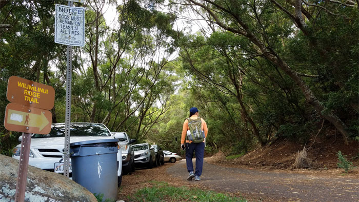
Good luck in trying to find parking. It was a full house today.
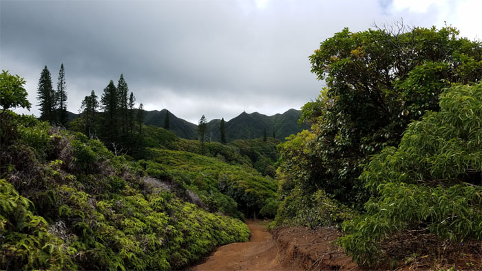
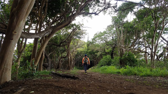
The paved road soon turned into a dirt road.
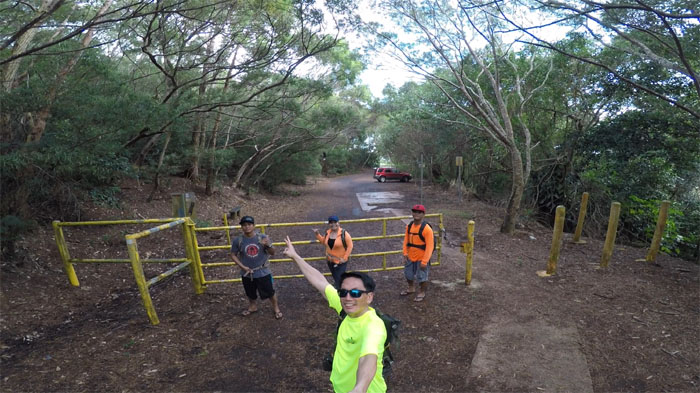
Passing the roped section of the trail. Really?
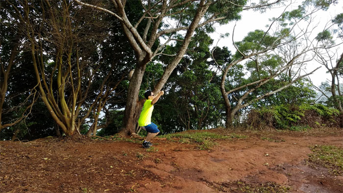
Using my imagination. It’s not taking me anywhere. Photo by Chris.
It’s hard walking and reading at the same time.
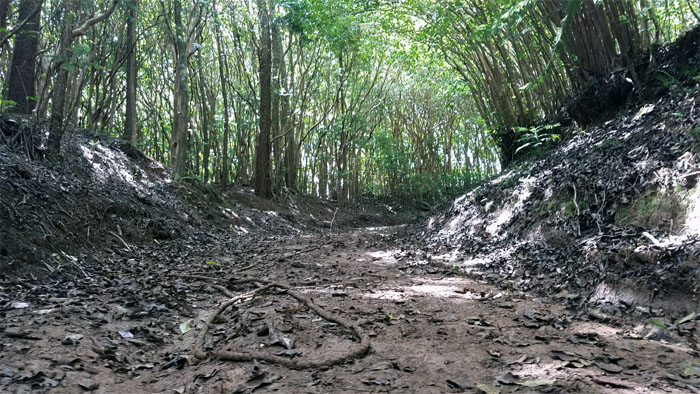
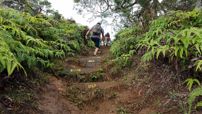
The trail narrowed and steepened on our way to the top.
Some hikers may have experienced temporary blindness due to my extremely white legs. My apologies. Photo by Daryl Cacatian.
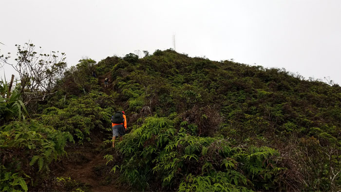
Almost to the top.
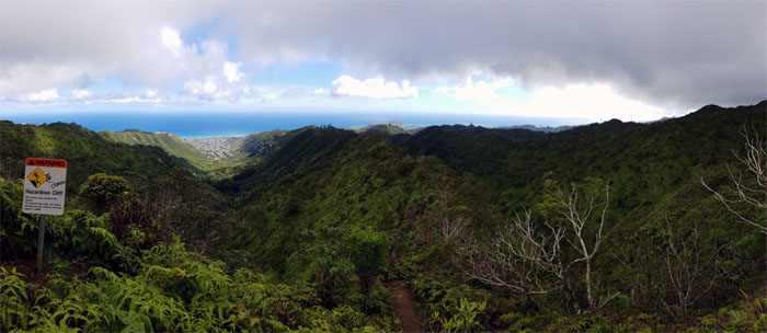
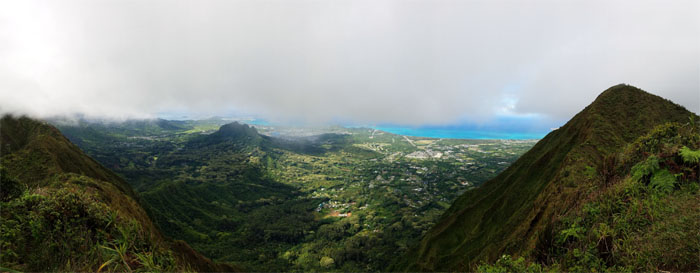
Fleeting views of the Windward side.
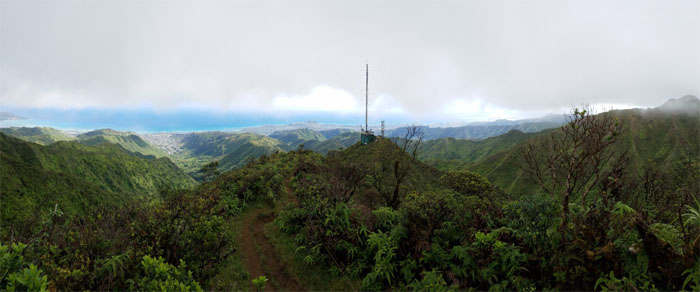
The South side views were more on the consistent side today.
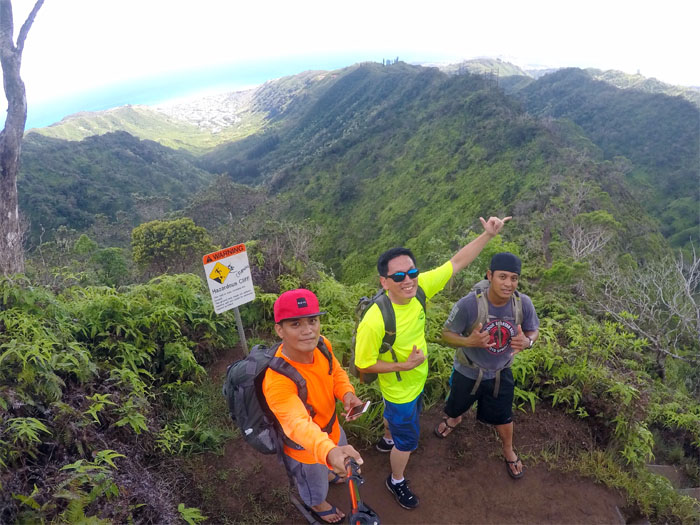
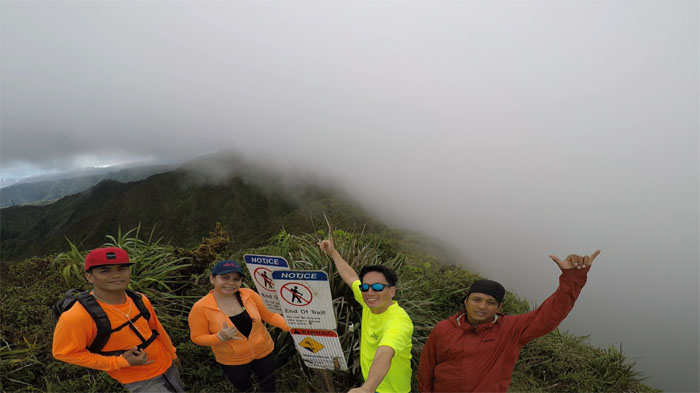
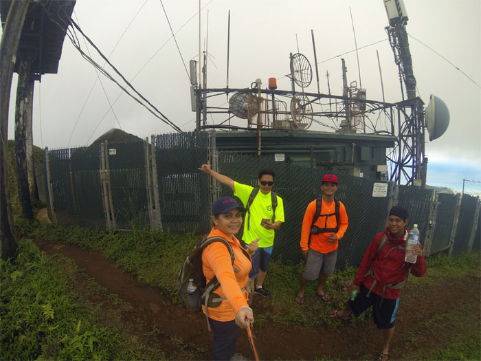
Half and half. Group photo left to right: Daryl, Jasmin, myself and Chris.
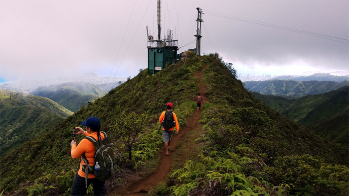
Catching up to a group that had stopped at the relay station and turned around without seeing the summit.
Group photo by Jasmin Nepomuceno at the relay station.
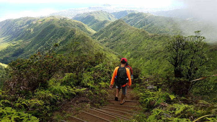
Chris and Daryl slippering the stairs down.
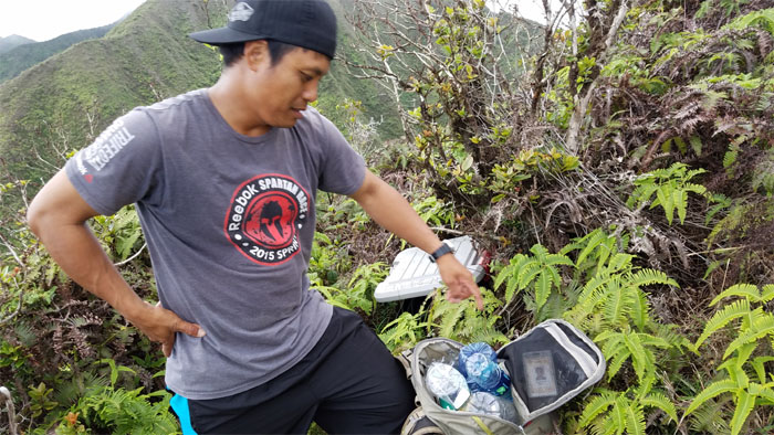
Who says it doesn’t pay to hike? Not Chris. He stuffed at least 50 cents worth of water bottles into his pack.
The group coming down the mountain.
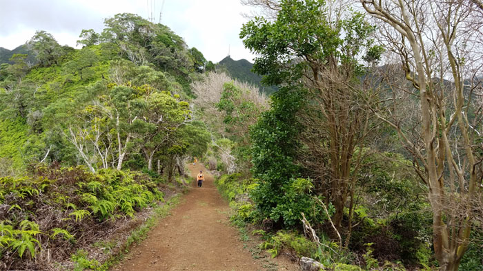
Jasmin on the flat trail.
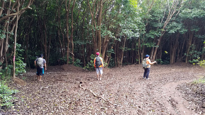
Passing the junction to Wailupe Valley.
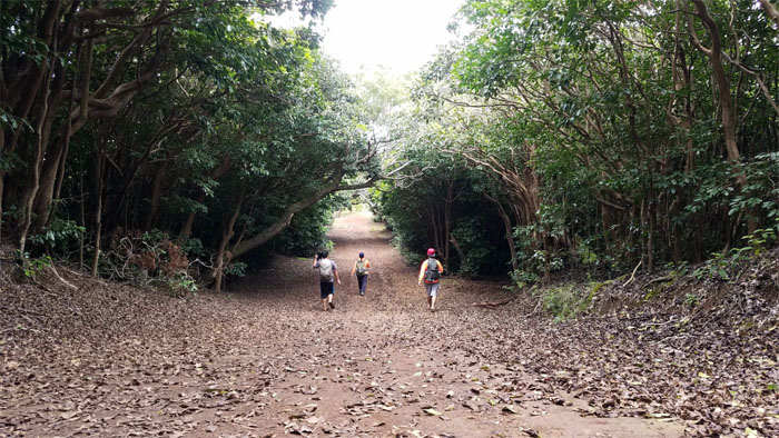
All downhill from here.
We made it back to the trailhead with ample daylight to spare.
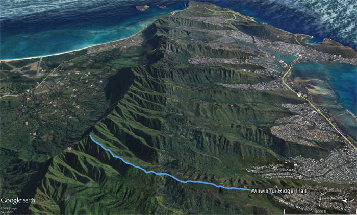
One of the easiest trails to gain the summit of the Ko’olau Mountains that covered 4.75 miles with good company. Post hike meal at Zippy’s. Want to buy raisin bread on the side?
Note: I have been made aware the some hikers have been using my blog as a hiking guide and getting lost on the trails. Please note that this blog was made to document the hike for the crew(s) that did it. That is why some of my comments will seem to have no relevance or meaning to anybody outside of the crew(s) that hiked that trail. My blog was never meant as a hiking guide, so please do not treat it as such. If you find inspiration and entertainment from these hikes, that is more than enough. If you plan on replicating these hikes, do so in the knowledge that you should do your own research accordingly as trail conditions, access, legalities and so forth are constantly in flux. What was current today is most likely yesterdays news. Please be prepared to accept any risks and responsibilities on your own as you should know your own limitations, experience and abilities before you even set foot on a trail, as even the “simplest” or “easiest” of trails can present potential pitfalls for even the most “experienced” hikers.


{ 4 comments… read them below or add one }
Great to hike with you again Kenji! Thank you for the invite and Happy Birthday to you my friend!
Aloha Jasmin,
Thanks and hope to hike with you more often. I guess that means more waterfalls. JK.
Mahalo
Hey man this is the trail Mitsy took me on on our second date. It’s a nice one.
Aloha Stuart,
Yup, this trail makes a nice “date hike.”
Mahalo