
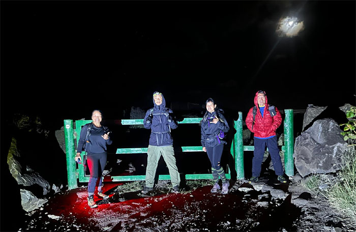
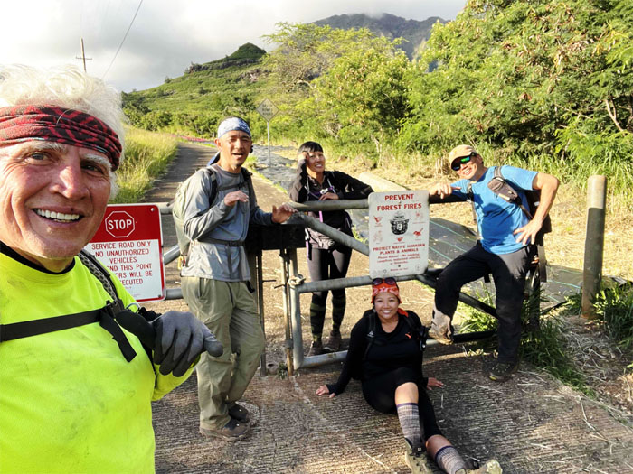
Team no sleep gathered to help Aileen finish the WST this particular weekend.
Kaena Point
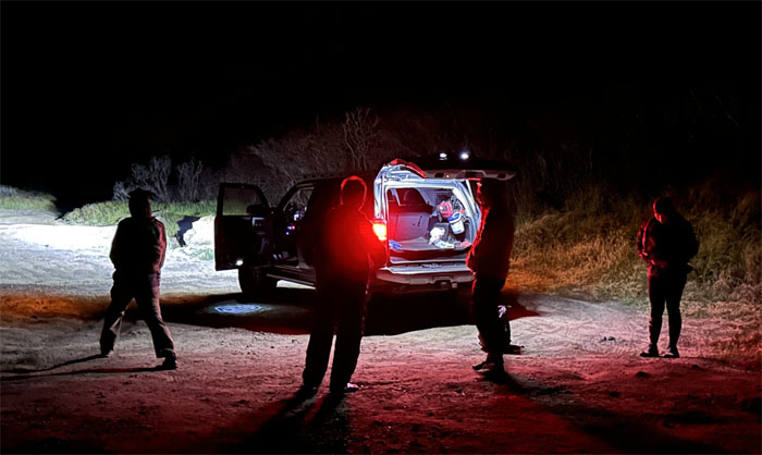
Mahalo to Edgar for dropping off us at the trailhead in the middle of the night.
Kaena Point
All bright eyed and bushy tailed. Or maybe not.
Kaena Point
Skirting the predator proof fence that protects 59 acres of land that are home to endemic fauna and flora.
Kaena Point
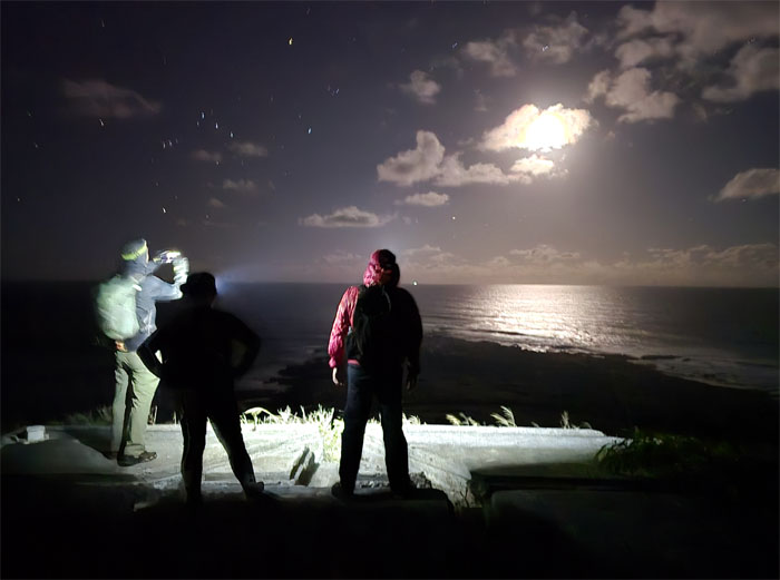
The westernmost views from the first bunker on the ridge.
Kaena Point
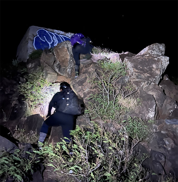
Climbing our way to the second and third WW2 bunkers.
Kaena Point
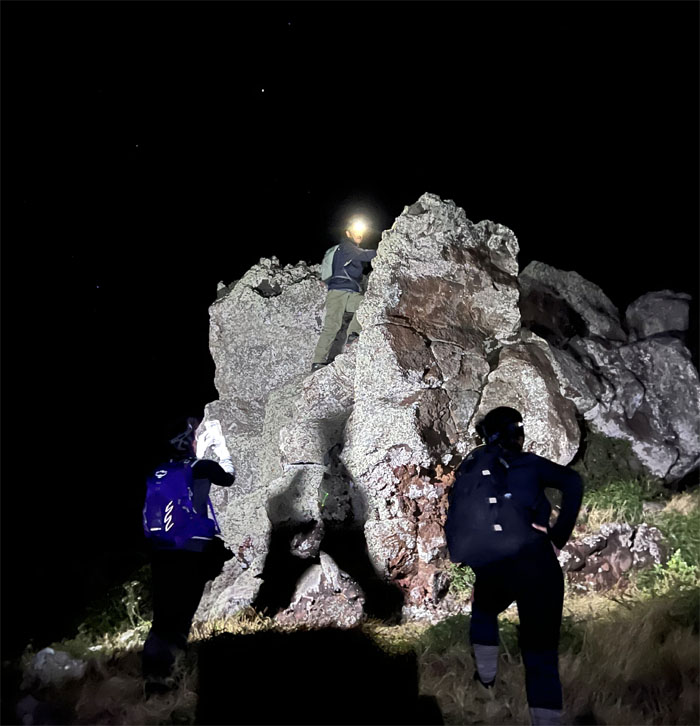
Akira climbing over a clump of boulders.
Kaena Point
Tessa scrambling her way up.
Kaena Point
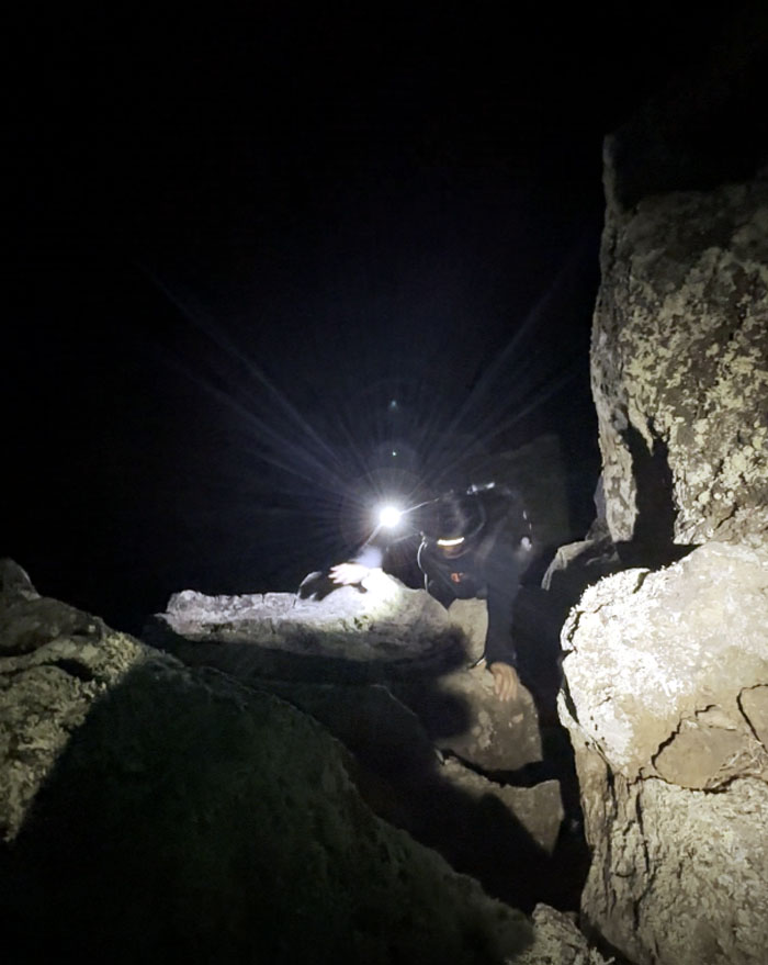
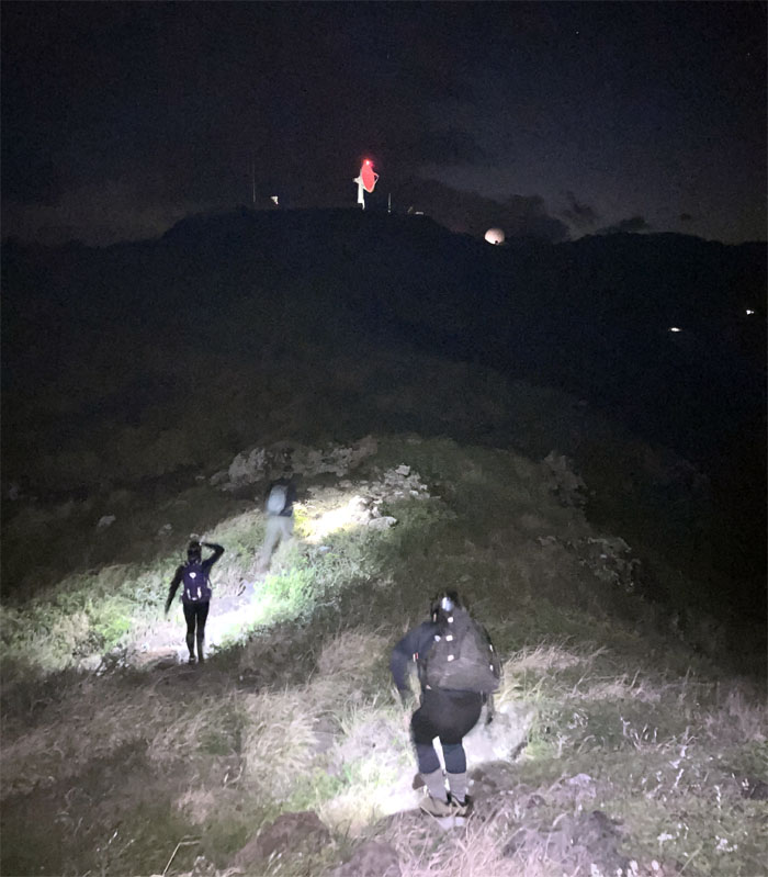
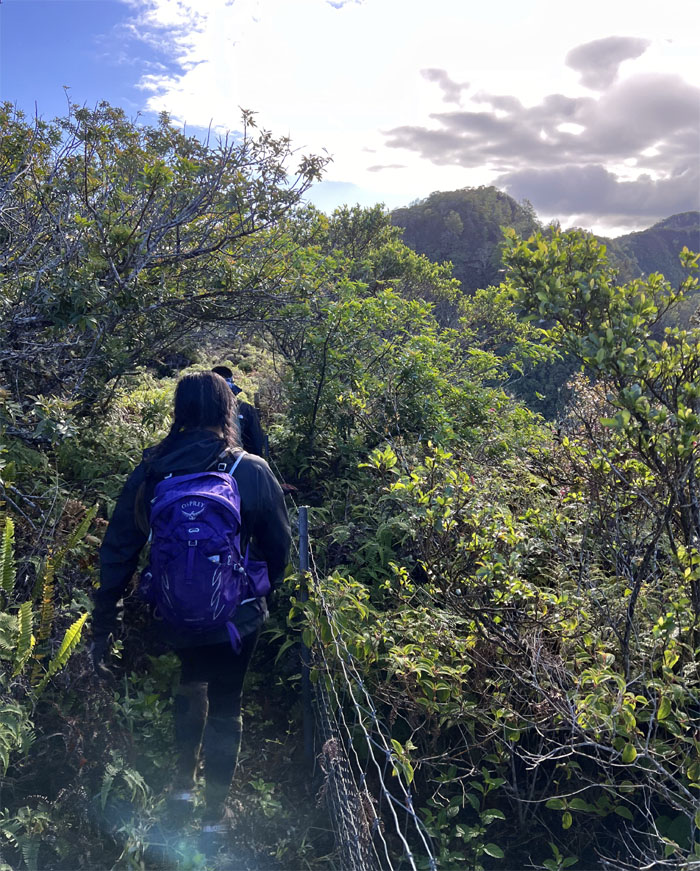
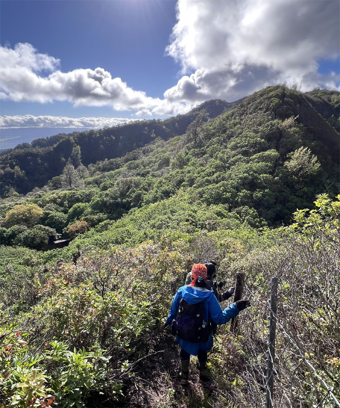
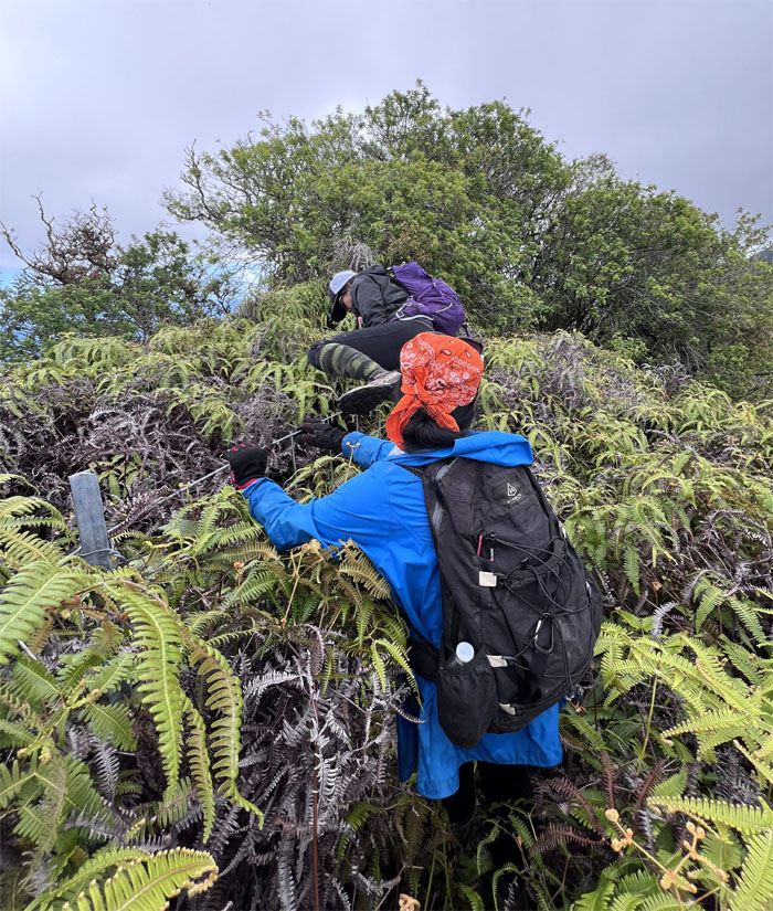
Traversing the open area littered with loose rocks, barbed wire and hale koa shrubs.
Kaena Point
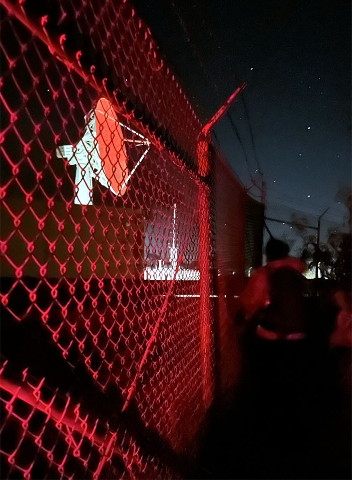
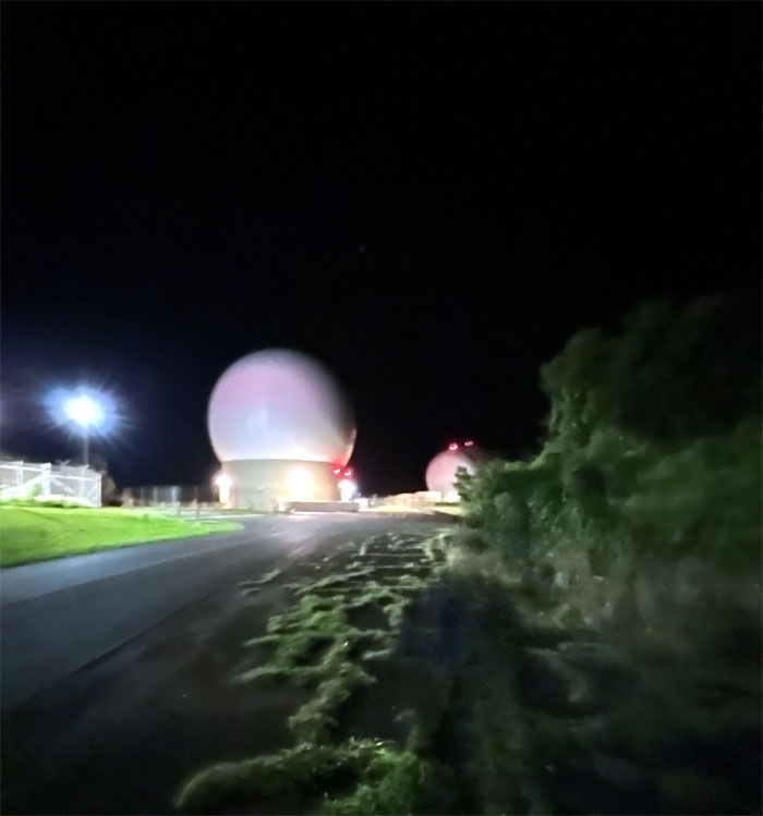
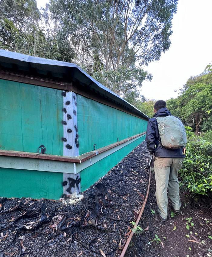
Skirting the visitor proof fence that protects 153 acres that are home to the US Space Force. Not be confused with Spaceballs.
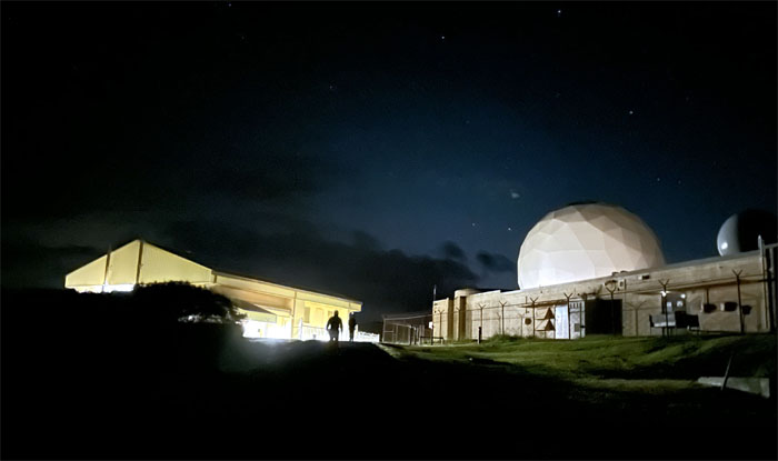
Kaena Point
Wait. Inside or outside?
Kaena Point
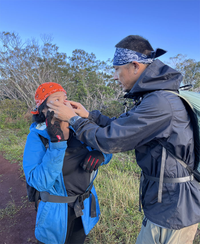
I had to f*cking lie flat down. I had f*cking thorny seed pods on my legs. Maybe it was the lack of sleep or time of day that resulted in the outburst of profanity from somebody.
Kaena Point
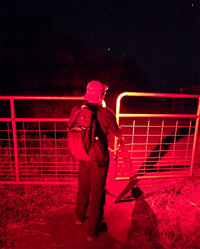
Going through a gate meant to keep out the large bovid ungulates? No cow tipping.
Kaena Point
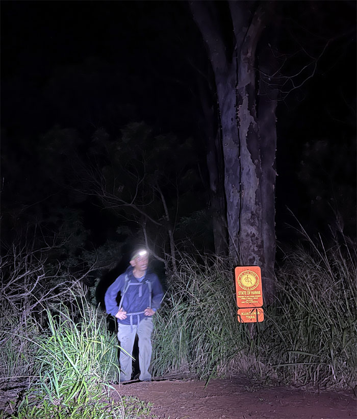
We spent an inordinate amount of time bushwhacking even with the artificial illumination being cast our way before we got back on track.
Kuaokala Trail
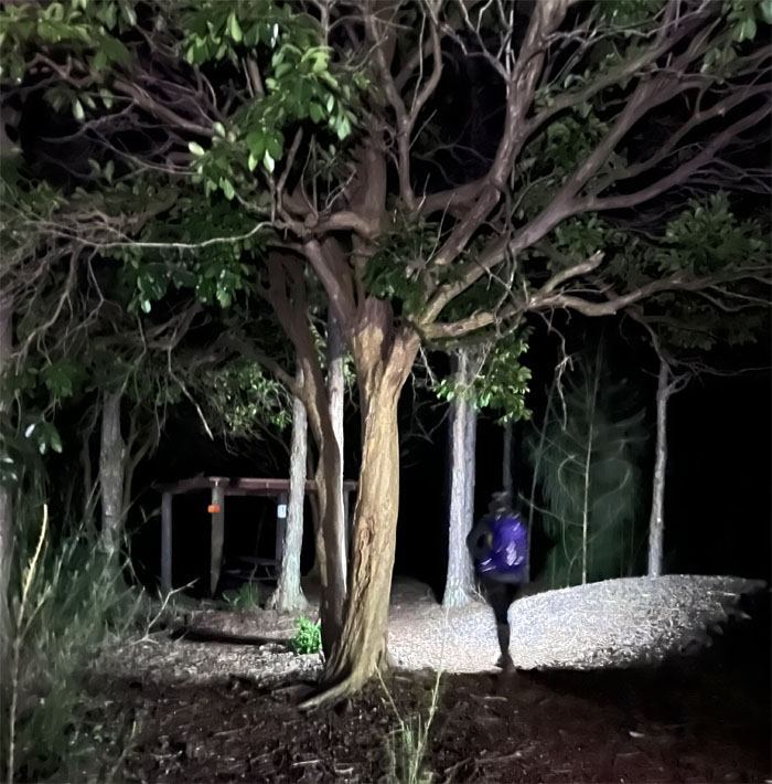
Taking a break at the picnic shelter. Too much excitement is not good for the heart of outbreaks of profanity.
Kuaokala Trail
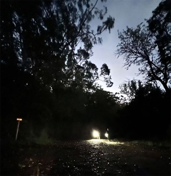
Back on the trail again.
Kuaokala Trail
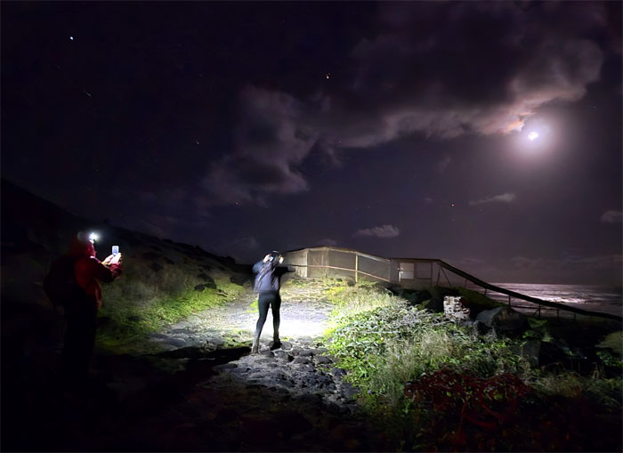
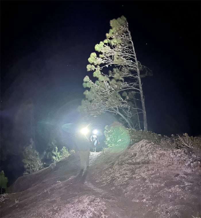
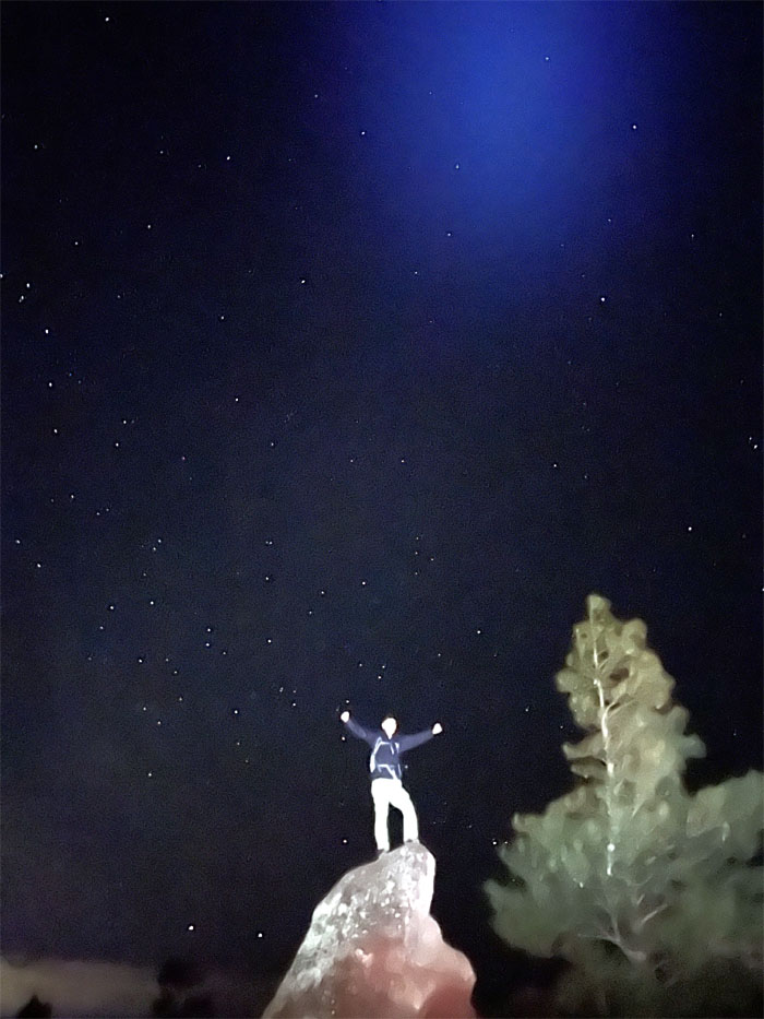
Starry night. A view best savored in person and more enjoyable than the Dutch post-impressionist painting of the same name.
Kuaokala Trail
Are we taking a power nap? No, then we wouldn’t be living up to our name.
Waianae Summit Trail (WST)
Leaving the 4×4 road for a trail more suited to hiking.
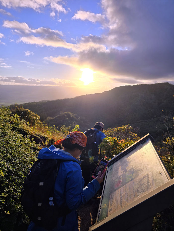
WST
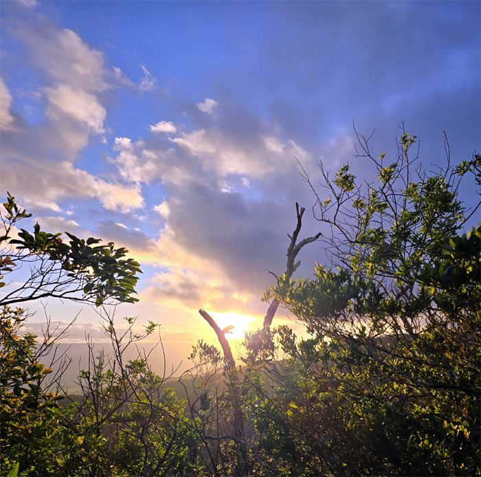
Catching the breaking sunrise after the exhausting cardio climb up the deeply rutted hill.
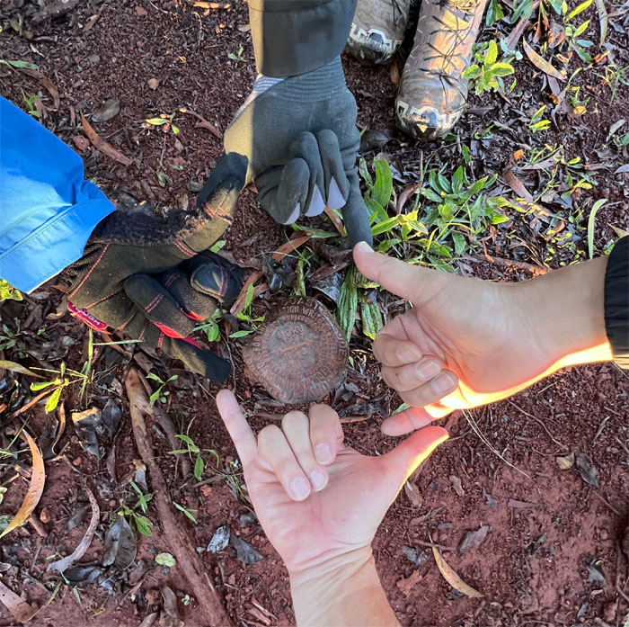
Moku
Gloves optional at the geodetic marker.
Pahole NAR
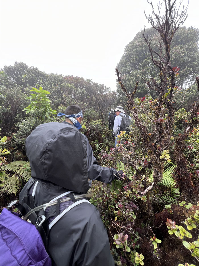
Hiking through the 685 acres set aside to protect endemic fauna and flora in the lowland mesic zone. Stay on trail.
Pahole NAR
When you fall, get up and fall down again.
Pahole NAR
Looking back at how far we had come. Optical illusion?
Pahole NAR
Skirting past the native snail habitat.
Makua Valley
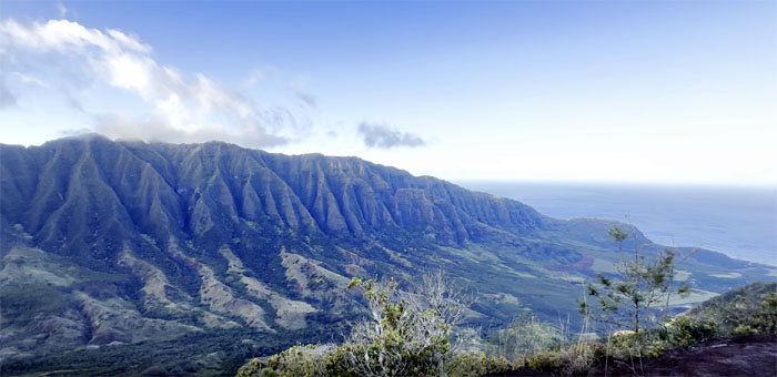
We left the tree line and broke out into the open ridgeline to view the stunning vista of the verdant valley that belies its scarred history of when the US Military evicted all the valley residents after the Pearl Harbor attack. White crosses were then painted on the church and homes and were then bombed, infrastructure was razed and demolished, fishing holes bombed,
and fresh water wells were used as dumps for waste oil. Planes and ships shelled the valley for target practice which basically rendered the valley uninhabitable. In fact, the US Army in 1955 declared the valley as so contaminated that it was not practical to return the land to the previous owners. Despite promises by the US Military that after WW2 ended, the valley was promised to be cleaned and cleared and returned to the Commissioner of Public Lands after six months. To this date, the land still remains off-limits much like Waikane Valley that was rendered indefinitely contaminated by the US Marines for live fire training during the war as well.
WST
Akira grooming Tessa. Or something close to it.
WST
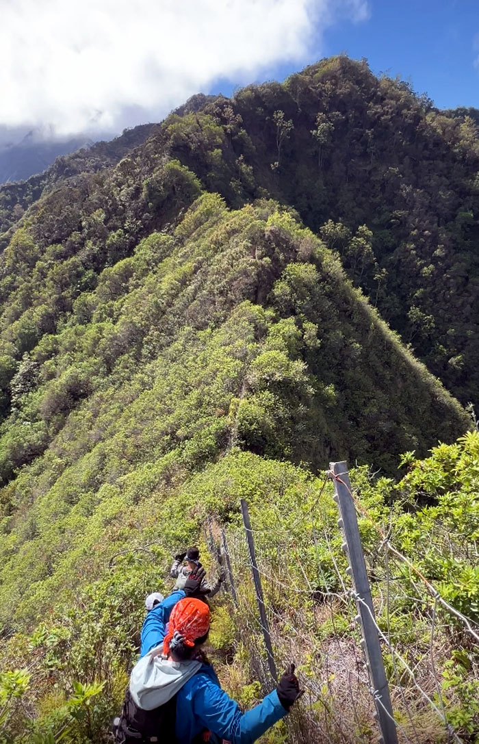
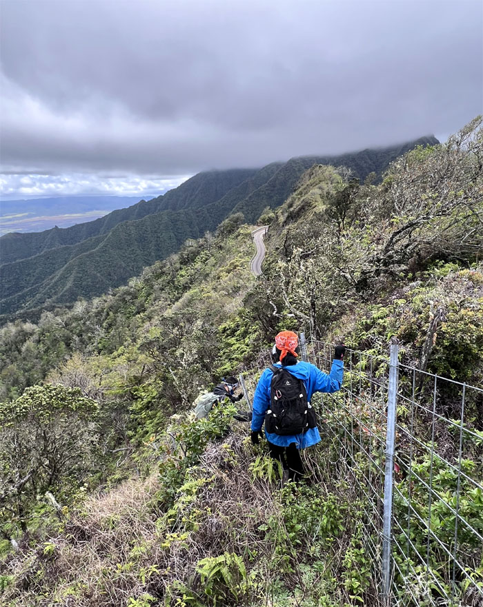
Following the fence line as we made our way on the ridge line.
WST
Passing the Mokuleia Shelter on our left. No stop needed for water, avocados or oranges.
Mokuleia Bench
Group photo at the bench with a different view of the valley. The Hawaiians believe this is where man was first created, hence the name makua, which means parent in Hawaiian.
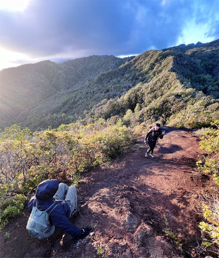
WST
Hiking up hills after hills, or that’s how it seemed to us.
WST
Enjoying the relatively flat section of the trail while it lasted.
WST
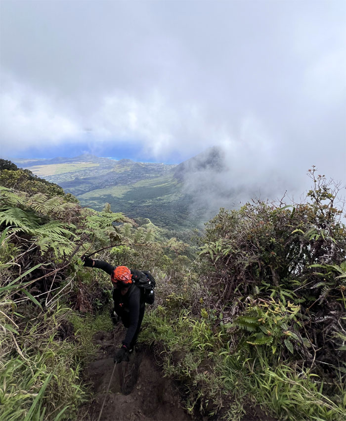
Going down the steepest part of the trail.
Three Corners
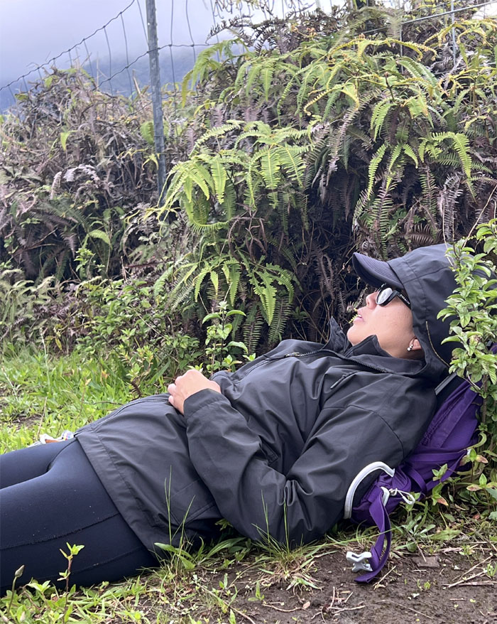
Somebody can sleep anywhere anytime at the drop of a hat. Not living up to the team name.
Three Corners
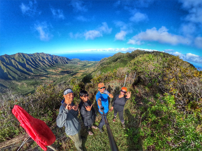
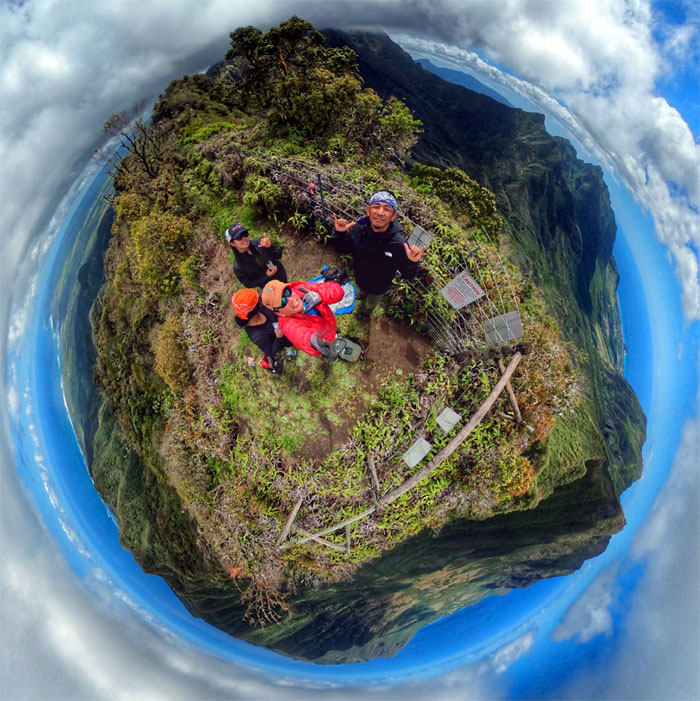
Group photo with valley views of Makua, Makaha and Mokuleia.
WST
It was time to go swimming in uhule.
WST
We had to do multiple fence crossings, more than the illegal migrants down South.
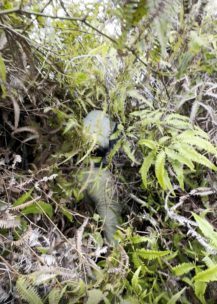
WST
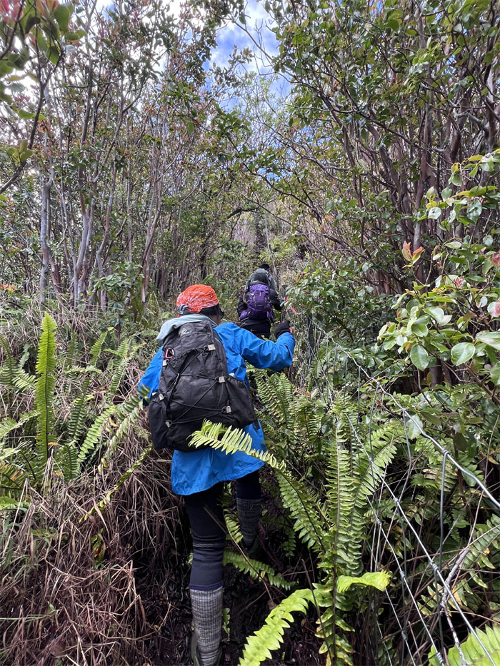
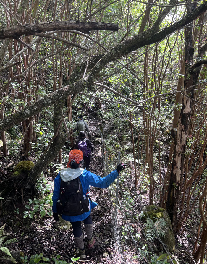
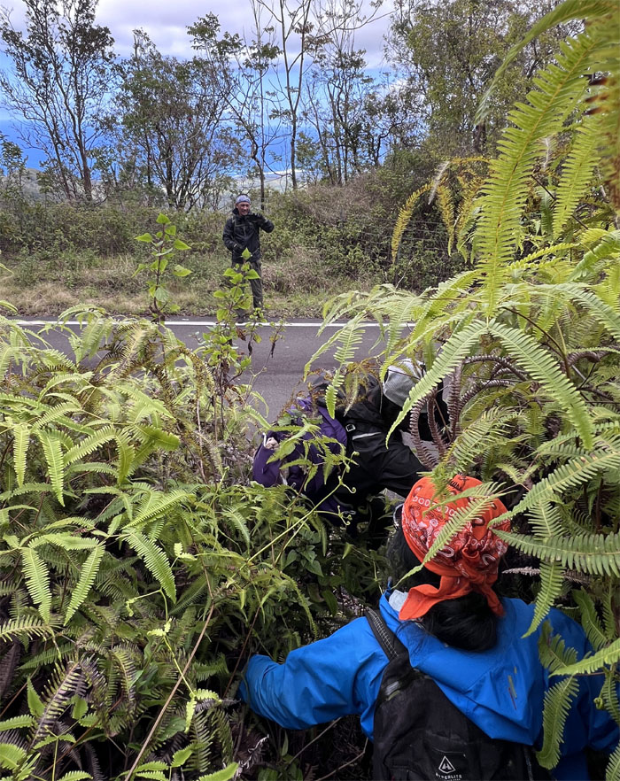
Now you see him. Now you don’t. The uluhe ferns was so thick and seemingly impassable at several spots.
WST
We could soon see the road for the overgrowth.
WST
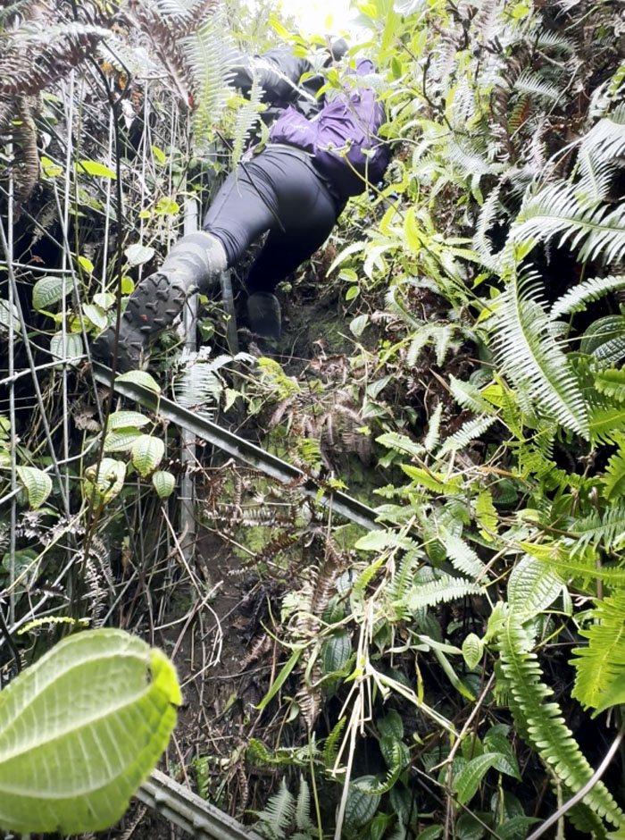
Aileen down climbing a steep spot with slippery stakes masquerading as steps.
WST
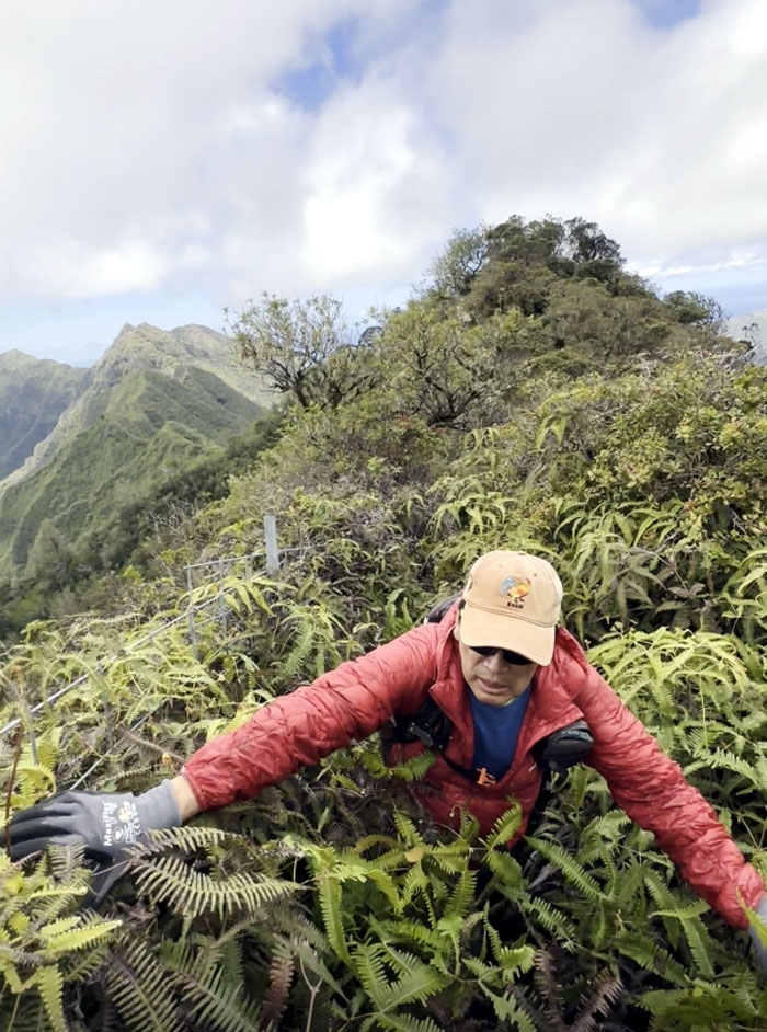
Pushing through the last of the insufferable uluhe ferns as signs of civilization was just a step away.
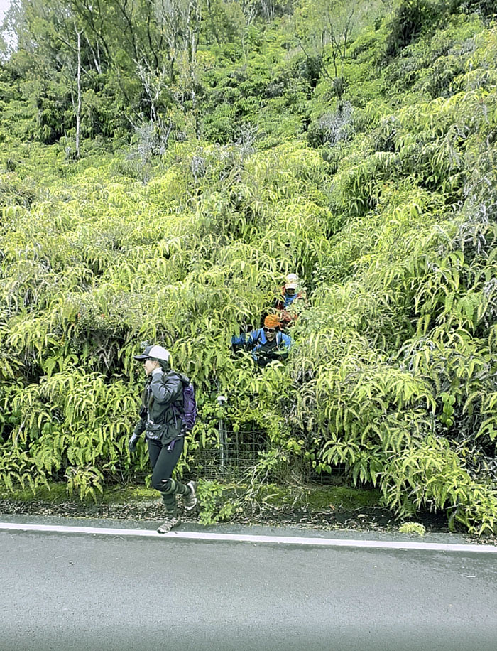
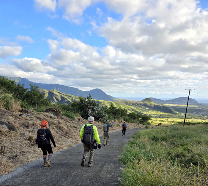
Ka’ala Road
Transitioning from trail to road.
Ka’ala Road
There is no lack of visibility here at this spot.
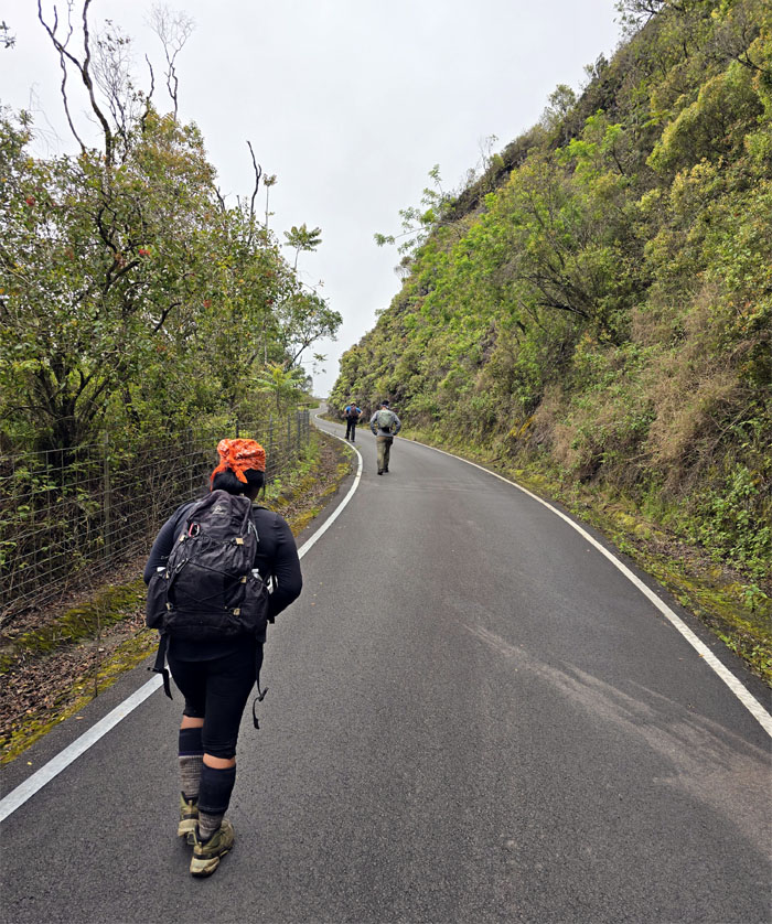
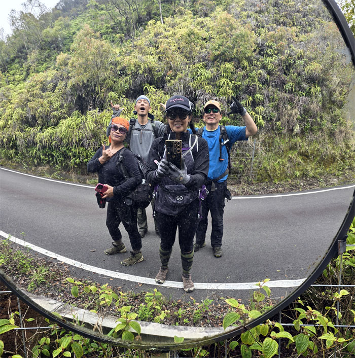
Ka’ala Road
Pounding the pavement. Literally.
Ka’ala Road
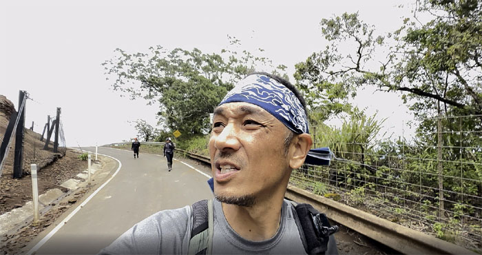
Walking commentary. If you understand Japanese, aside from hai hai arigatou gozaimasu.
Ka’ala Road
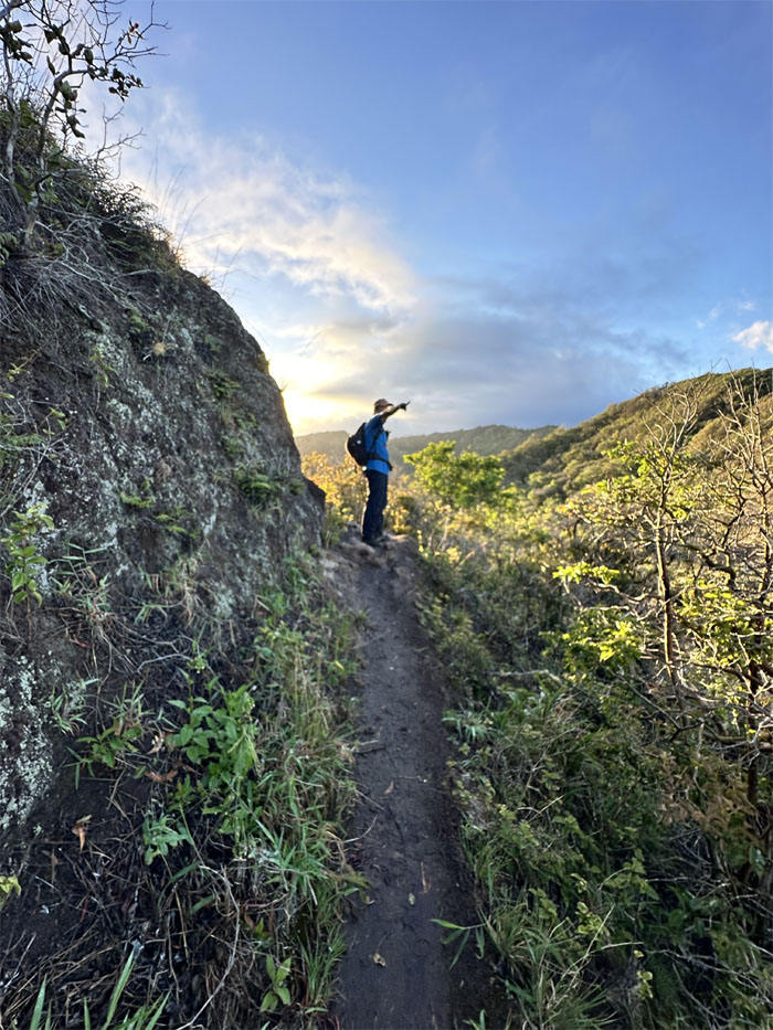
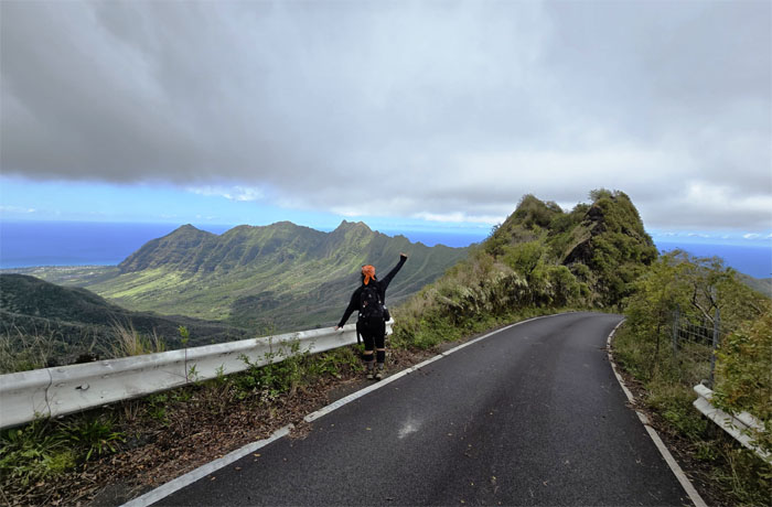
Sometimes you just have to stop, turn around and enjoy the views.
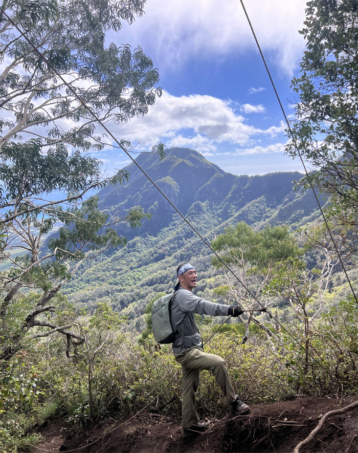
Mount Ka’ala
The slow and punishing walk of a little over two miles of incline road was quite tiring to say the least.
Mount Ka’ala
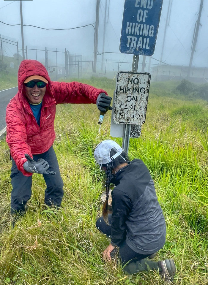
#22 – Customary champagne celebration dousing of the (un)lucky recipient. Congratulations to Aileen for completing her last section of the WST. Two feathers in her cap. KST and WST.
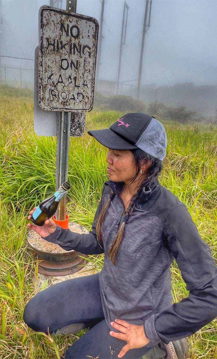
Mount Ka’ala
Can I get a nickel for this bottle?
Mount Ka’ala
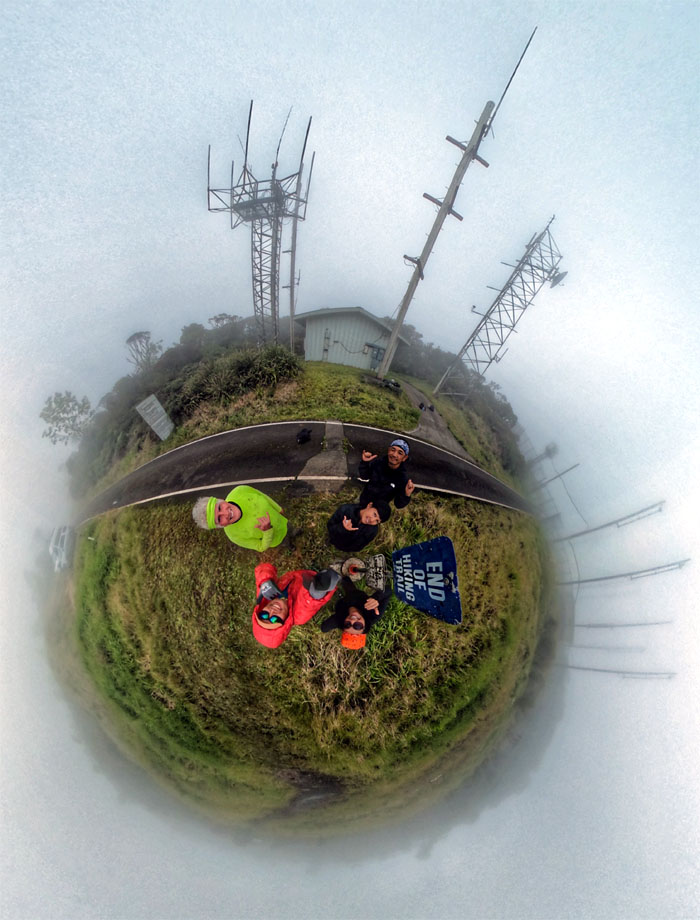
Group photo at the highest peak on the island. Glad that Chico made it up here to bear witness and garnered a personal best in his time ascending the 4,025′ mountain.
Ka’ala Bog
Traversing the roughly 3/4 mile boardwalk that cuts through the 1,100 acres of native cloud forest where we also ran into dozens of volunteers from the OANRP.
Waianae-Kaala Trail
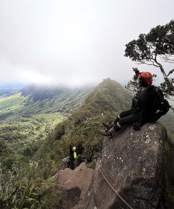
Climbing down the steep trail as we descended off the summit.
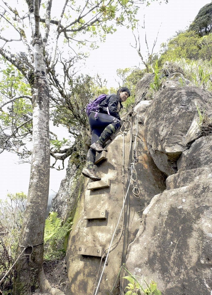
Waianae-Kaala Trail
Aileen climbing down the ladder on the first set of boulders.
Waianae-Kaala Trail
Tessa and Chico enjoying the mountainous views on the second set of boulders.
Waianae-Kaala Trail
Akira ready to drop down into the valley from Three Poles.
Waianae Valley
Walking down the much maligned paved road.
All pau
Shout out to Chico who not only met us at the summit but picked us up and drove us back to our cars at Mililani.
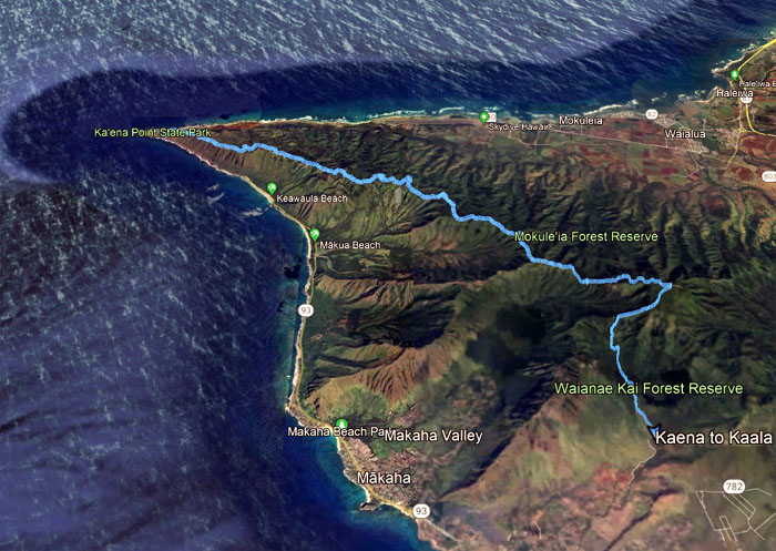
GPS Tracks
Our night to day trek through the Waianae Mountains covered just shy of 17 miles with good friends. Congratulations again to Aileen for f*cking completing the Waianae Summit Trail. Dessert before dinner. Soft serve ice cream cones at McDonald’s. Craving for loco moco was satisfied and substituted by latin food at Coquito’s. We all went home to take a hot shower and get some much needed shut eye.
Photos taken by Aileen Agustin, Akira Suzuki, Chico Cantu, Edgar Gamiao, Tessa Bugay, and yours truly. Not necessarily in order.
Note: I have been made aware that some hikers have been using my blog as a hiking guide and getting lost on the trails. Please note that this blog was made to document the hike for the crew(s) that did it. That is why some of my comments will seem to have no relevance or meaning to anybody outside of the crew(s) that hiked that trail. My blog was never meant as a hiking guide, so please do not treat it as such. If you find inspiration and entertainment from these hikes, that is more than enough. If you plan on replicating these hikes, do so in the knowledge that you should do your own research accordingly as trail conditions, access, legalities and so forth are constantly in flux. What was current today is most likely yesterdays news. Please be prepared to accept any risks and responsibilities on your own as you should know your own limitations, experience and abilities before you even set foot on a trail, as even the “simplest” or “easiest” of trails can present potential pitfalls for even the most “experienced” hikers. One should also always let somebody know of your hiking plans in case something doesn’t go as planned, better safe than sorry.
{ 2 comments… read them below or add one }
Team no sleep, haha!! Remind me to retire from hiking pls.. lol
I mean retiring only this part of hiking lol
Awesome trek with fun people. Love the part where we have to shush & crawl lol
Aloha Tessa,
Okay you can catch the uber hiking taxi next time. lol. Not too much crawling next time.
Mahalo