
We went searching for a monster in the jungle today. Mahalo to Steve for the beta on this trail. Thanks to Jasmin for dropping Analyn, Ferlino and myself off as we got treated to the spectacle of a peacock courting the opposite sex.
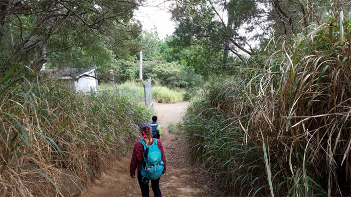
Trailhead
Met a couple other folks out for their morning constitutional.
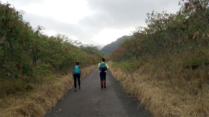
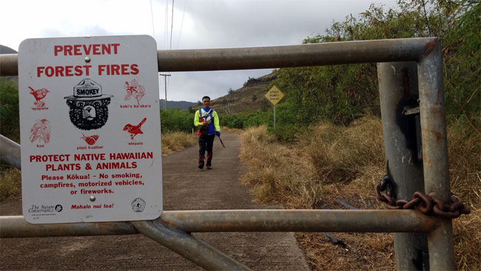
Valley Trail
We passed running streams, cultivated taro patches and other interesting finds on our way to the ridge.
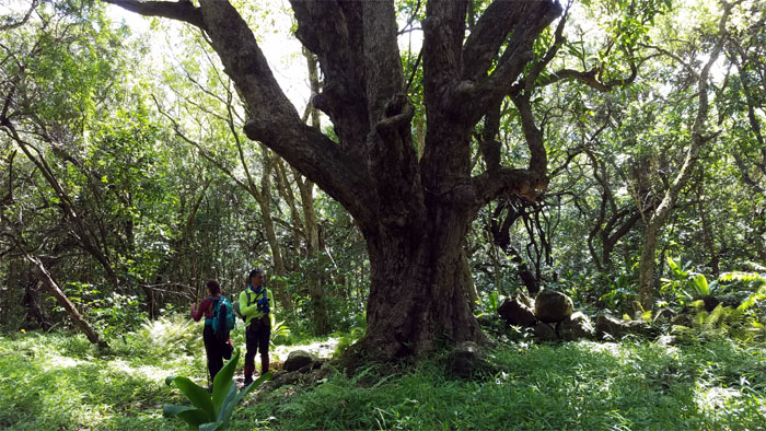
Mango Tree
Glad we didn’t bring the fruit picker, trees are not quite fruiting yet.
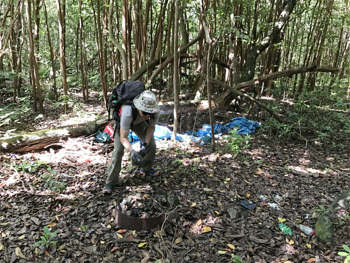
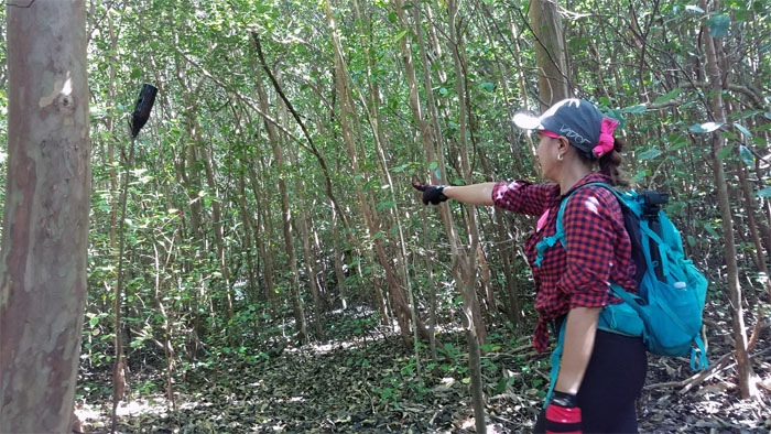
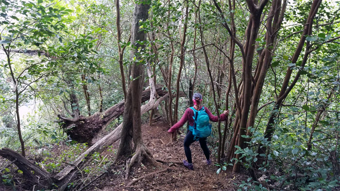
Jack in the Box
Warming up yesterday’s leaves from somebody’s camp site. A tad too sautéed for my liking. Photo by Analyn Baliscao.

Valley View
Looking back as we gradually made our way up the ridge with rear views of the blue skies meeting the blue waters.
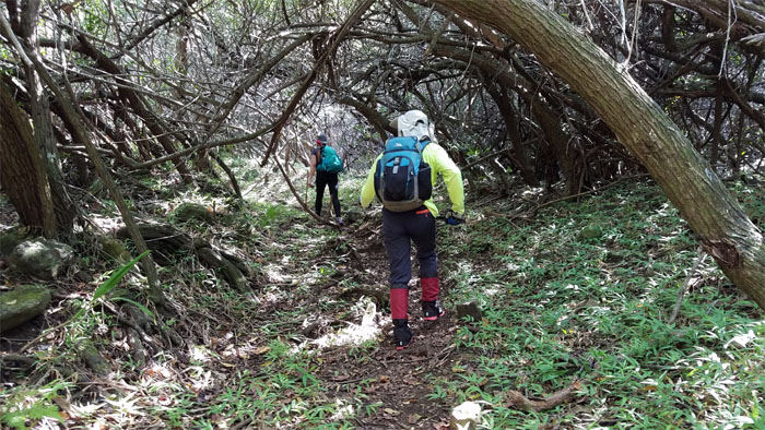
Ridge Trail
Recycling not only nets one a nickel but also marks a trail as well.
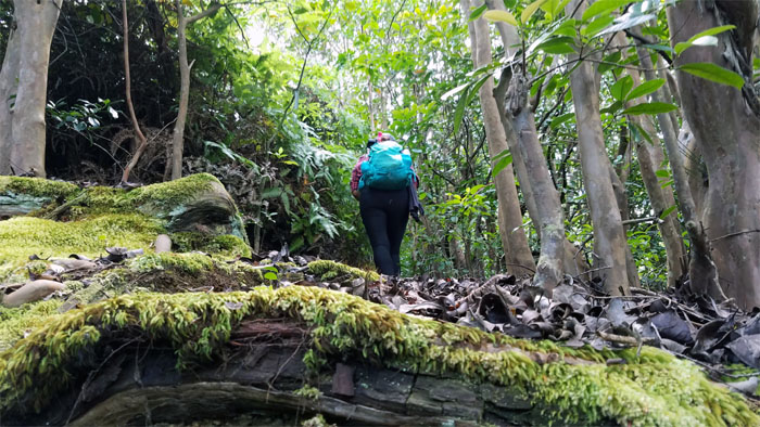
Ridge Trail
Incline walking on a carpeted mixture of dead leaves and spongy moss.
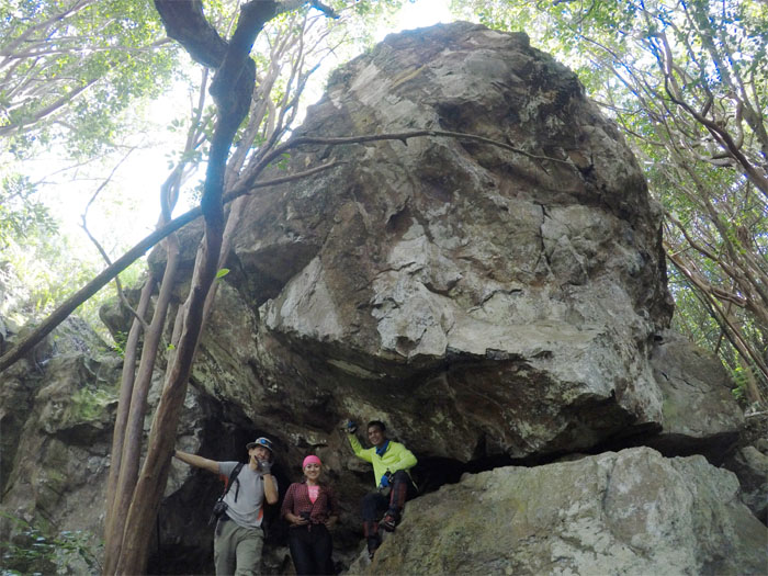
Kahuna Cave
No orbs spotted as we munched on our lunch in the shade of these larger than life boulders.
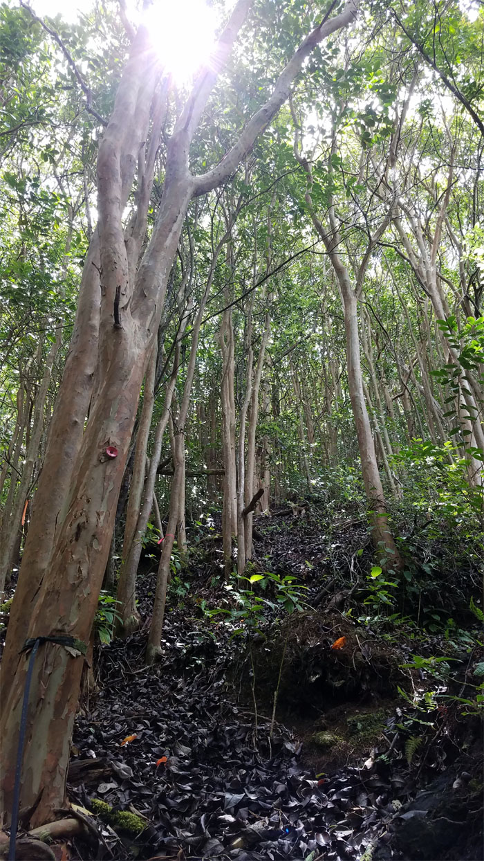
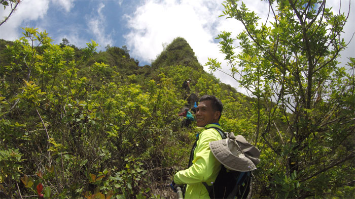
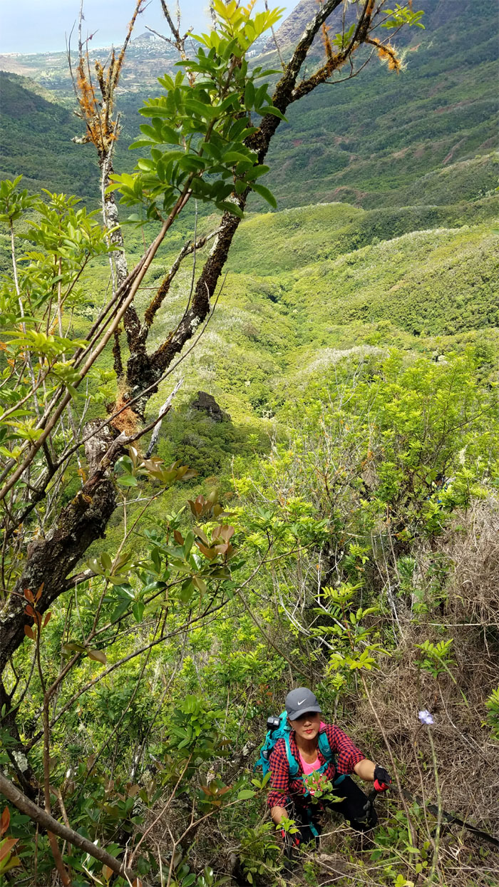
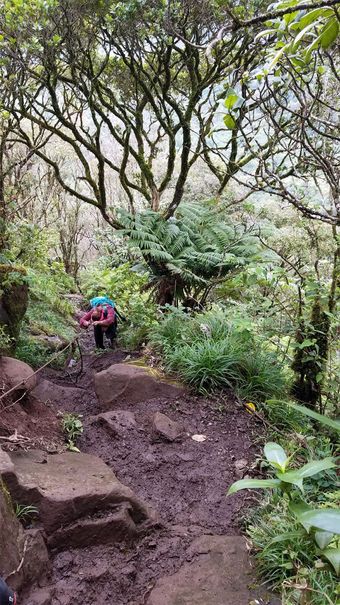
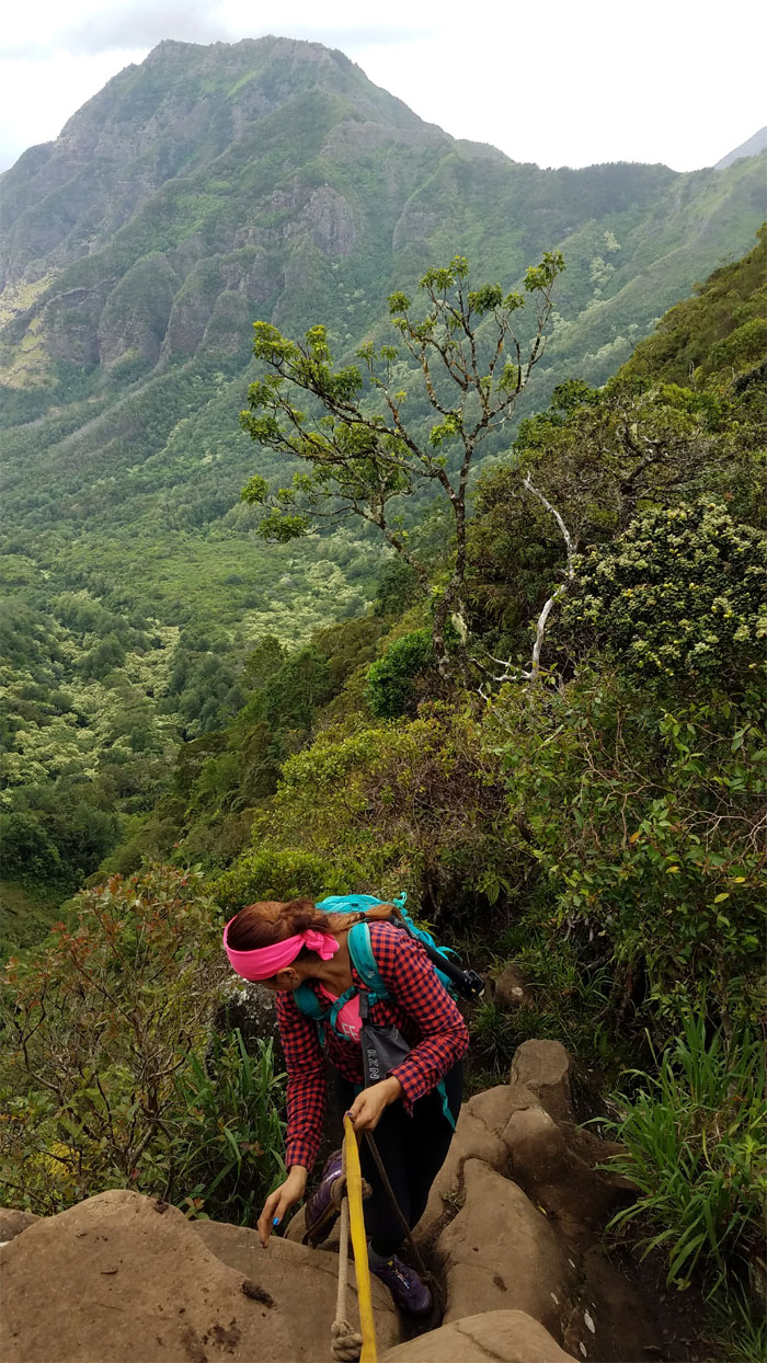
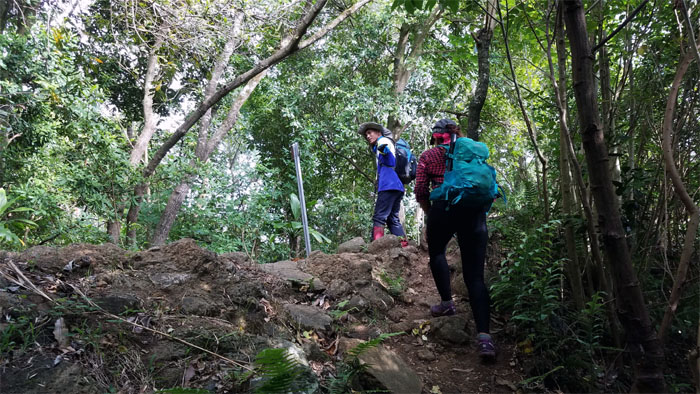
Ridge Trail
As the ridge took on a more pronounced angle, weathered webbing made their presence known.
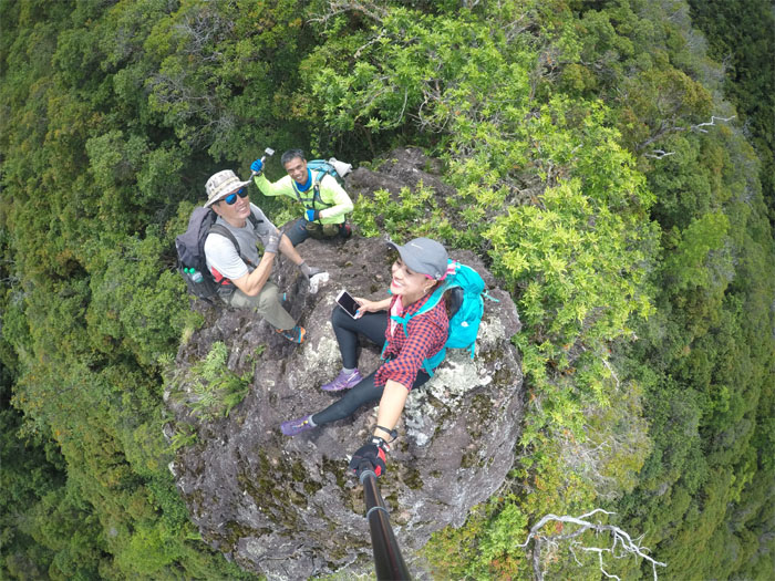
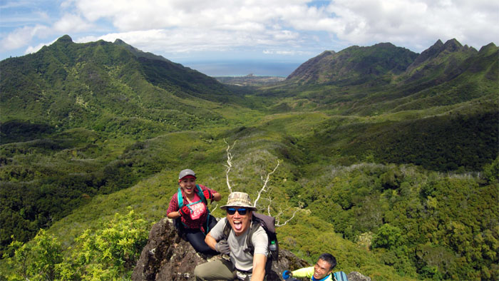
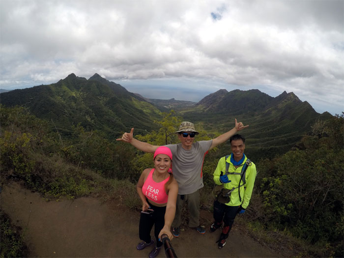
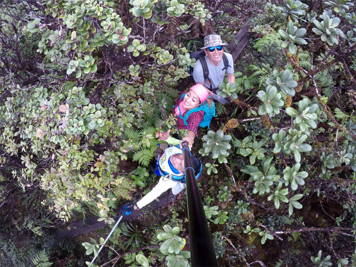
King Kong
Top down photo. No profile photo today. Photo by Analyn Baliscao.
King Kong
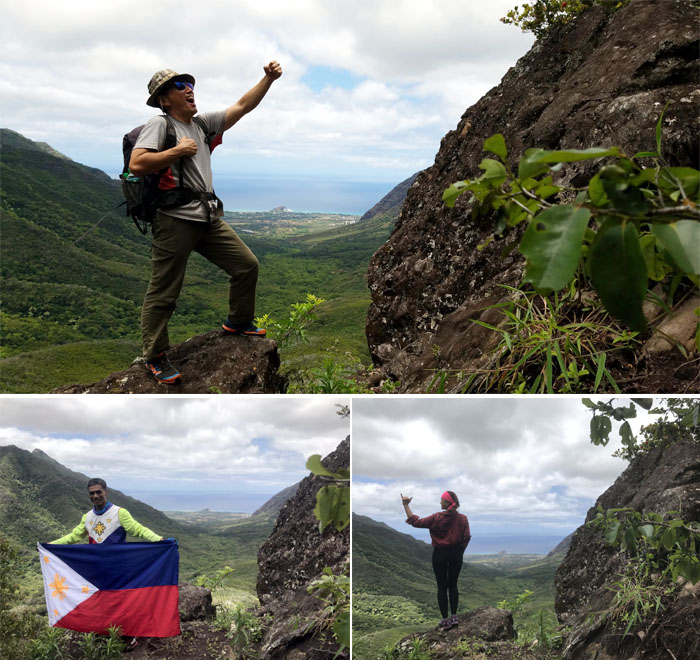
There were a lot of chest beating, shaka signing and flag waving going on today.
King Kong
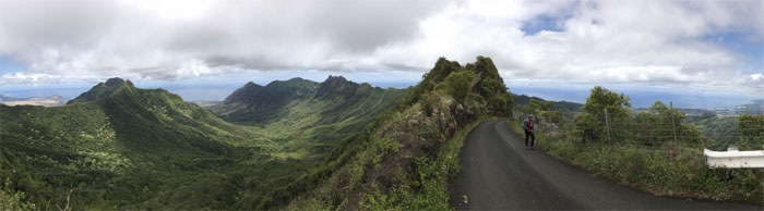
Wrap around views of Makaha Valley.
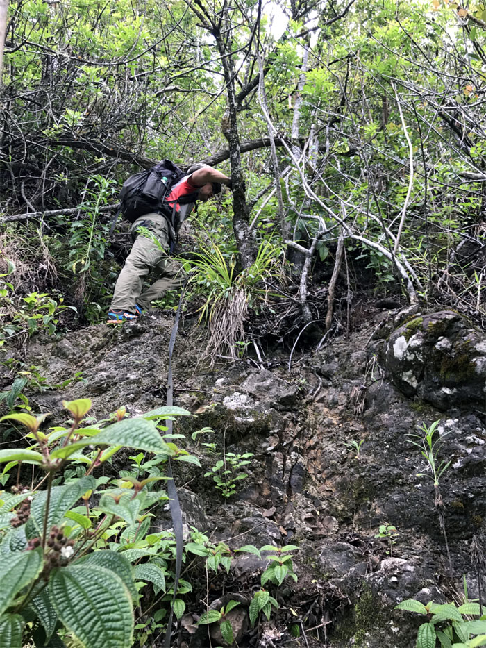
Ridge Trail
Resuming our uphill slog. Photo by Ferlino Carinio.
Ridge Trail
Leaving Kong behind in his natural habitat.
Ridge Trail
The ridge soon slackened off the steepness and gradually contoured to the ridge line. Photo by Analyn Baliscao.
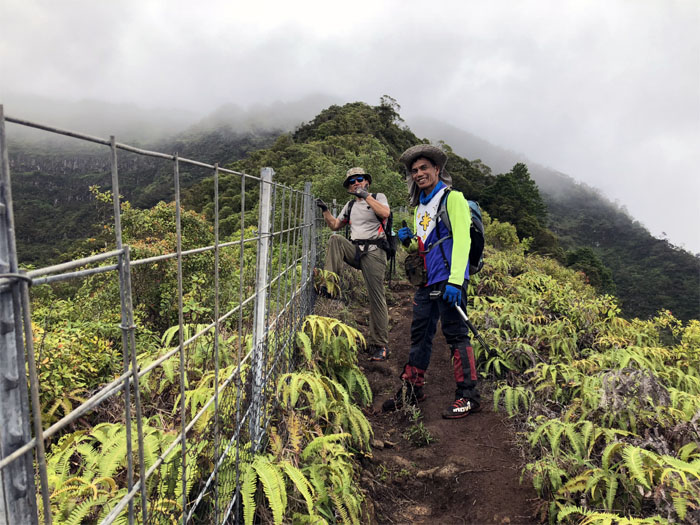
Waianae Summit Trail
When the ridge meets the road. Photo by Analyn Baliscao.
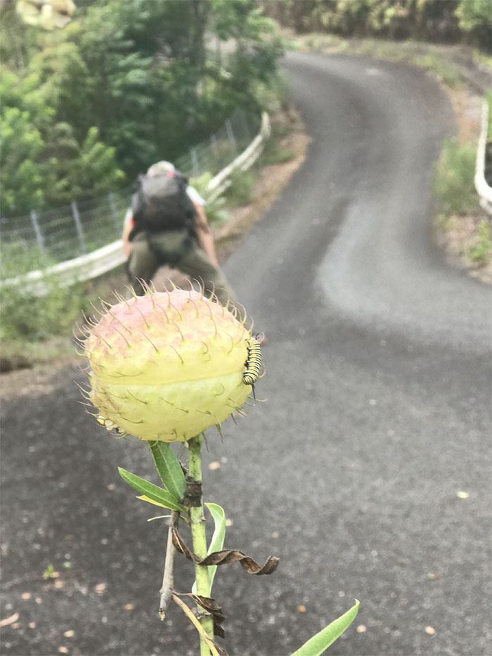
Hairy Balls
This road always gives me chafing. I can’t speak for the caterpillar. Photo by Analyn Baliscao.
WST
I don’t think we were even close to approaching the speed limit. Photo by Ferlino Carinio.
WST
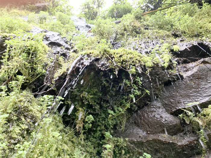
Drip – Drip – Drip goes the water. Trickling down the road.
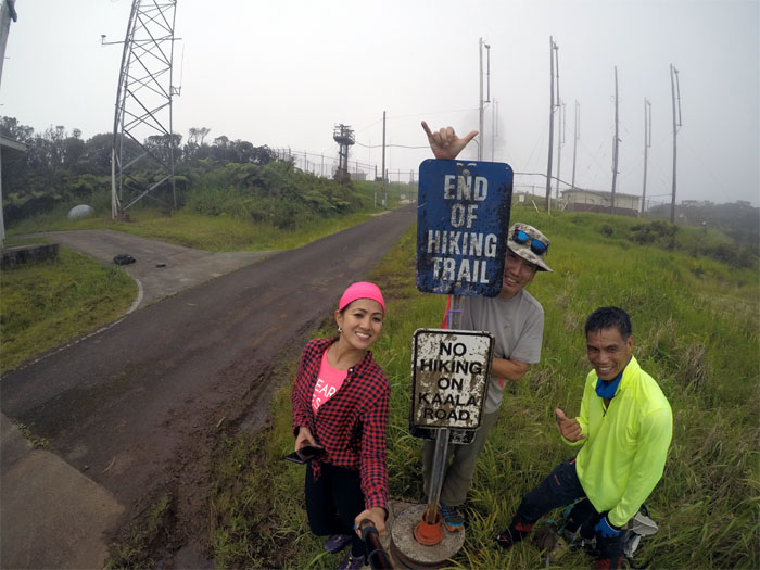
Mount Ka’ala
Skirting the fence line to catch views of Wahiawa and points beyond were prematurely aborted due to the cloud cover that was hanging around at the highest point on the island.
Ka’ala Bog
Looking for endemic fauna and flora in all the wrong places.
Ridge Trail
Making our way down the muddy and slippery steep section.
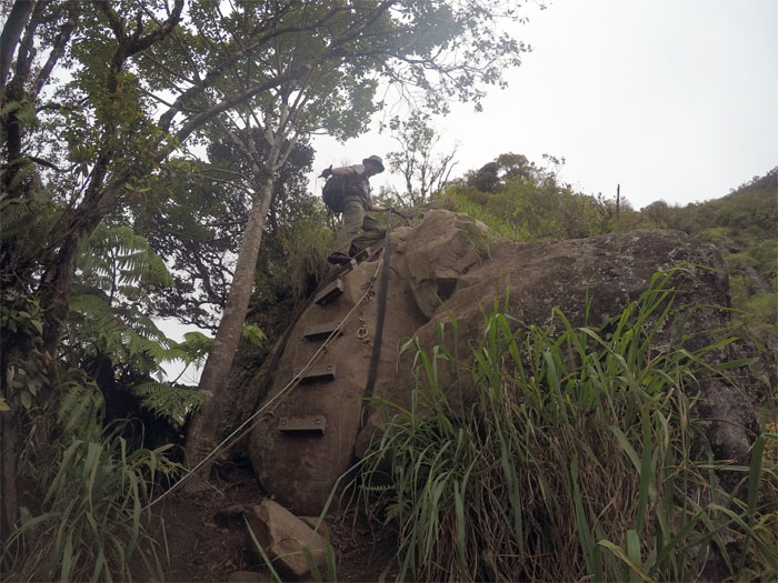
Boulder Section
Yes, Virginia there are steps on the boulders now. Photo by Analyn Baliscao.
Boulder Section
I guess these are the red headed stepchild boulders.

Valley View
Sweeping views of the ridgelines that interrupts the sprawling valleys.
Fence line
All downhill from here. All smiles from here. Photo by Analyn Baliscao.
Valley Trail
Leaving the fenced ridge line and the 3 pole junction as we dropped down into Waianae Valley.
Valley Trail
Climbing out of the dry stream bed as we followed the sign to stay on trail.
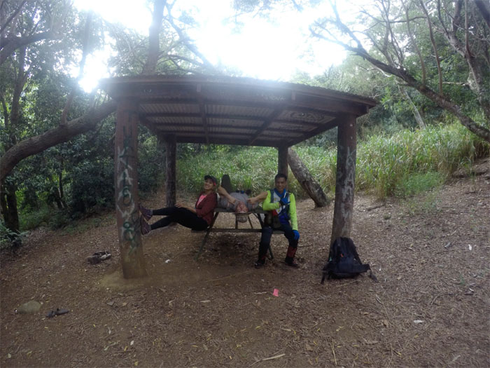
Picnic Shelter
Just hanging around. Photo by Ferlino Carinio.
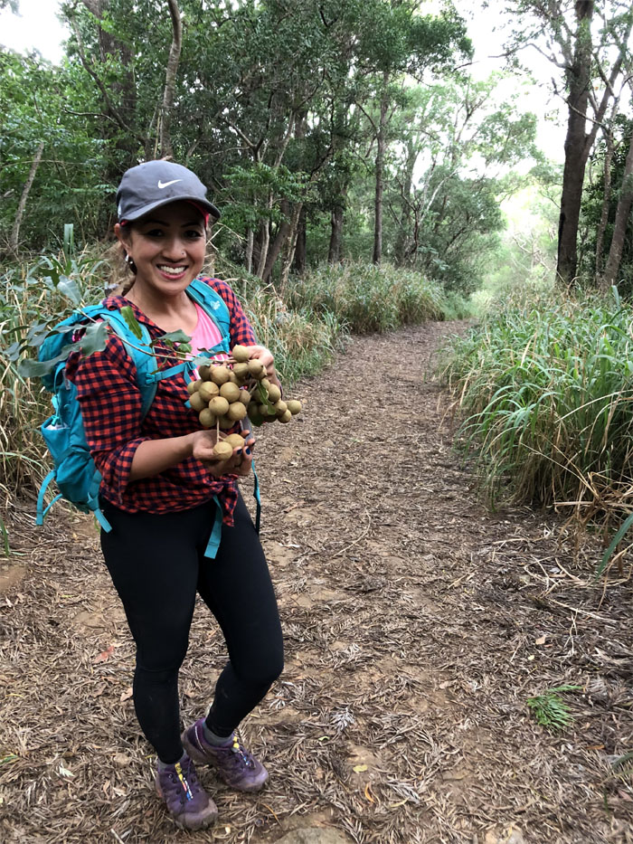
Mac Nuts
When you can’t beat the nut out of the shell, take a whole bunch home with you. Photo by Ferlino Carinio.
Water Tank
All that water and no working spigot. Time to hit the road that favors few hikers. Or was that the other way around?
All pau
Our valley to valley hike covered 10.51 miles through rugged terrain and jaw dropping vistas. Great day with good friends. Thanks again to Jasmin for picking us up in the valley of abandoned cars. Post hike meal at Tacos and More, where they tell you how to eat your food with your hands and not with the tableware. Is it Tuesday yet?
Note: I have been made aware that some hikers have been using my blog as a hiking guide and getting lost on the trails. Please note that this blog was made to document the hike for the crew(s) that did it. That is why some of my comments will seem to have no relevance or meaning to anybody outside of the crew(s) that hiked that trail. My blog was never meant as a hiking guide, so please do not treat it as such. If you find inspiration and entertainment from these hikes, that is more than enough. If you plan on replicating these hikes, do so in the knowledge that you should do your own research accordingly as trail conditions, access, legalities and so forth are constantly in flux. What was current today is most likely yesterdays news. Please be prepared to accept any risks and responsibilities on your own as you should know your own limitations, experience and abilities before you even set foot on a trail, as even the “simplest” or “easiest” of trails can present potential pitfalls for even the most “experienced” hikers.
{ 0 comments… add one now }