I decided to do a solo outing today and see how far my legs would take me in the mountains.
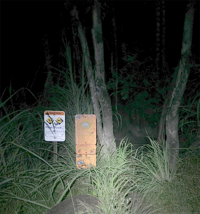
The darkness in the valley gave my legs added fleetness as I made it to the sign in under 30 minutes.
Making my way to the 2,237′ top after being rained on for the most part of the ridge climb. Luckily, the rain paused as I summited. Thank heavens for small favors.
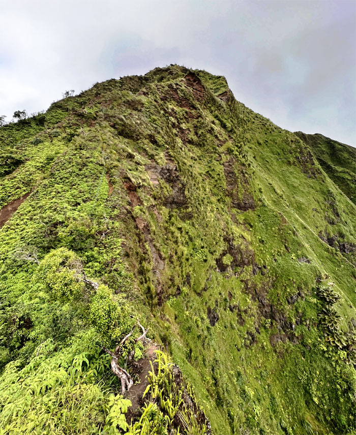
Looking back at the Western half of the ridge line that I had just came down.
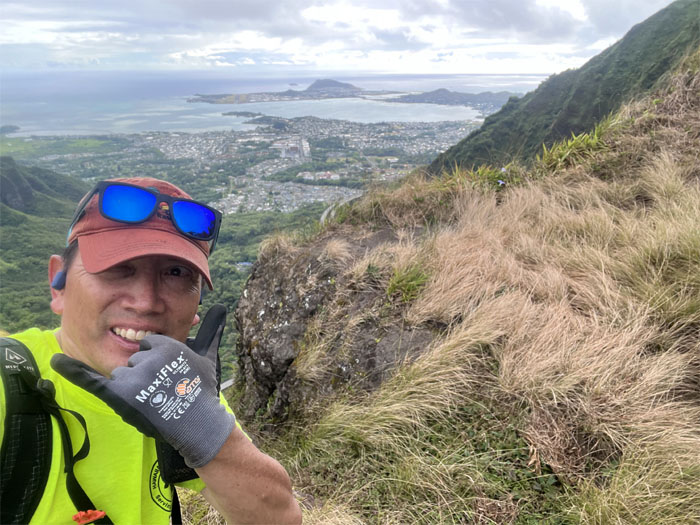
Quick selfie in the middle of the saddle.
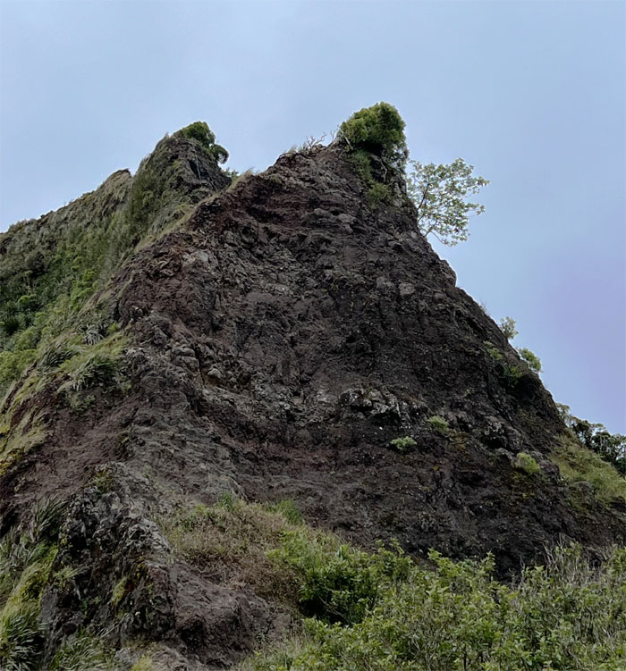
Contouring around the most famous obstacle on the saddle, the Dirt Triangle. I had startled two feral pigs in the bushes earlier on the ridgeline. First time I have ever seen pigs on the saddle.
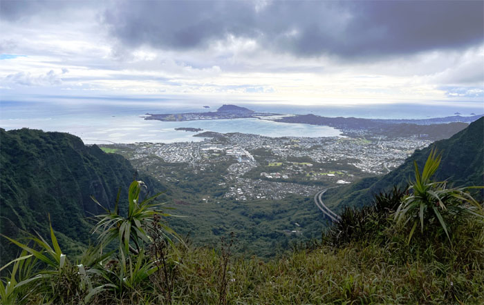
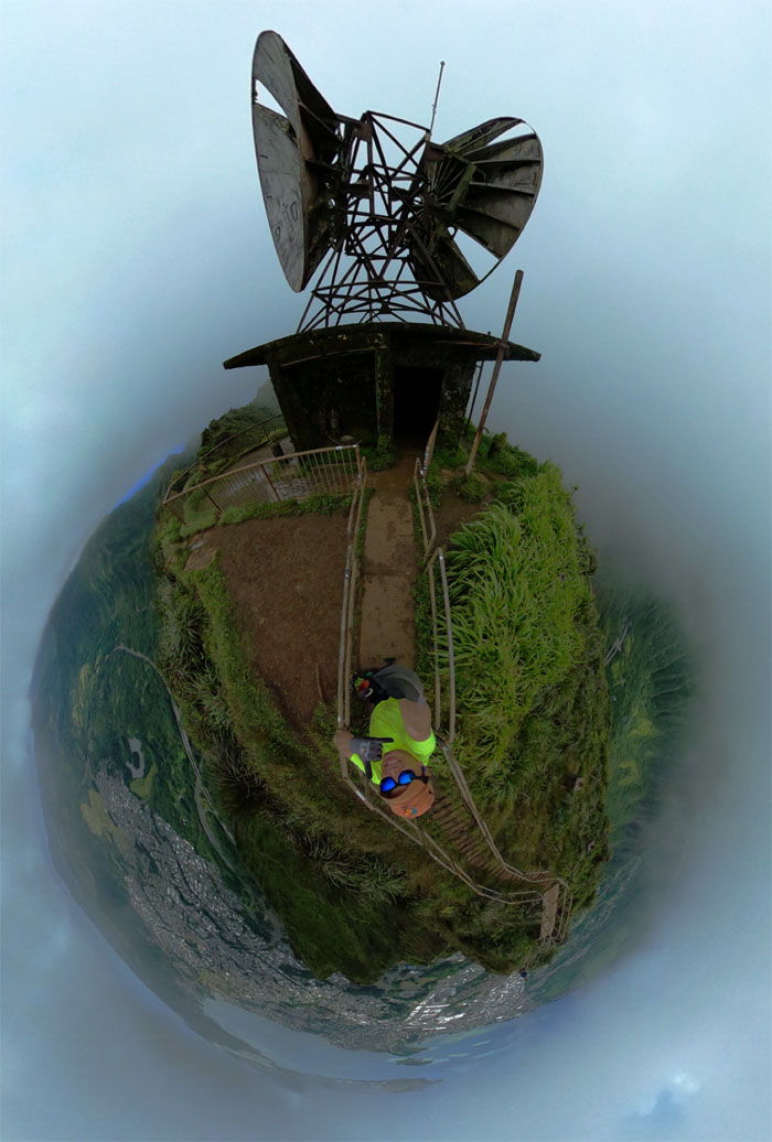
Looking down at the original Naval Radio Station that was built in 1942 from one of the antenna anchor sites, the bomb proof building is now known as the Omega Station after the US Coast Guard took it over in 1975 until it was decommissioned in 1997.
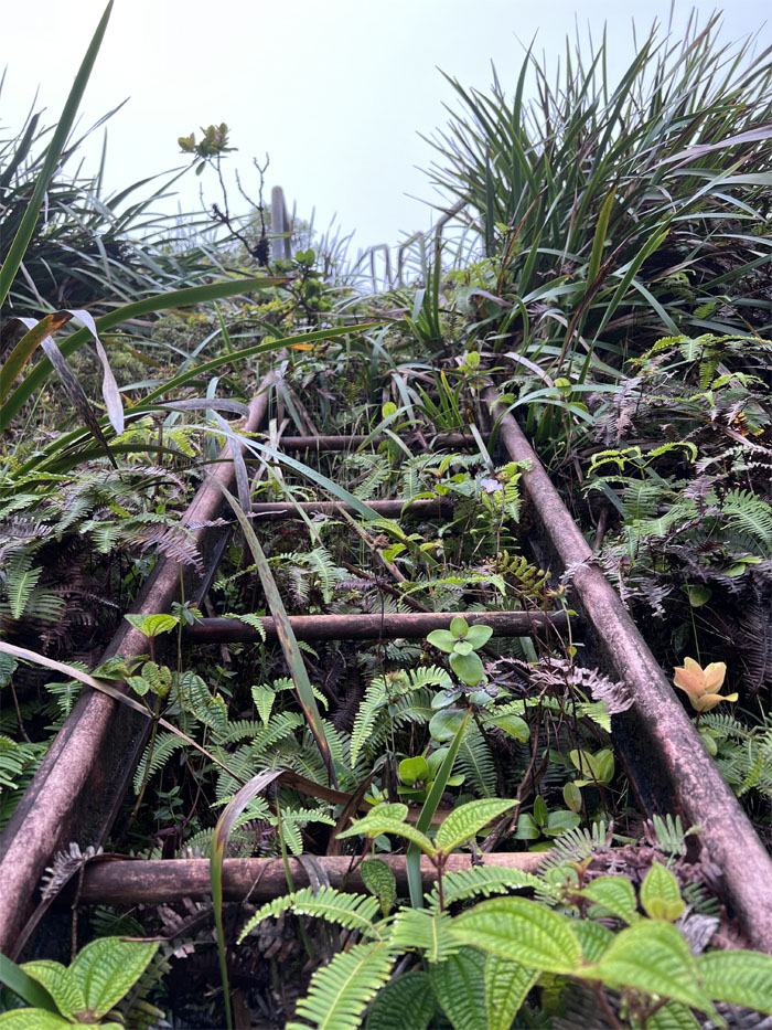
Climbing up the ladder that connects to the lesser known Stairway to Heaven.
I had the top all to myself. I saw a couple hikers descending down the 3,922 metal steps that are now slated to be dismantled as the city could not find a common ground between the various parties involved to save the stairs.
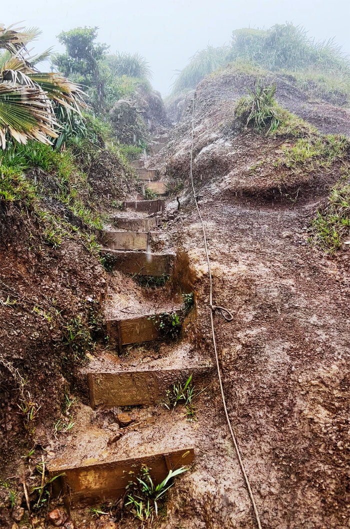
The rain followed me down the scarred ridge, where slats installed by Ted Calvero and friends have helped to retard the erosion.
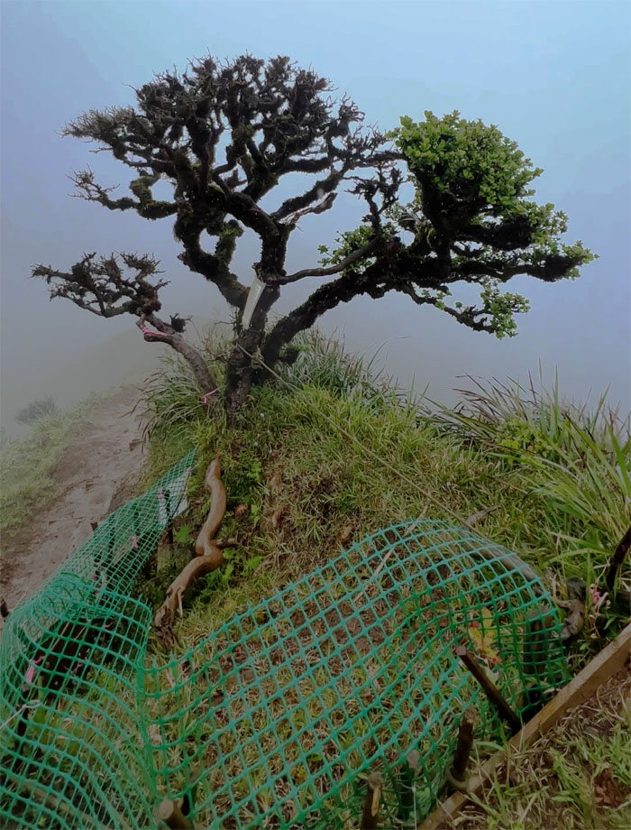
Checking out the Manono tree which has survived largely due to the efforts of Ted Calvero and friends. Before their timely intervention, the tree was being used to pull and lower hikers down and it was slowly being strangled and eroded to death.
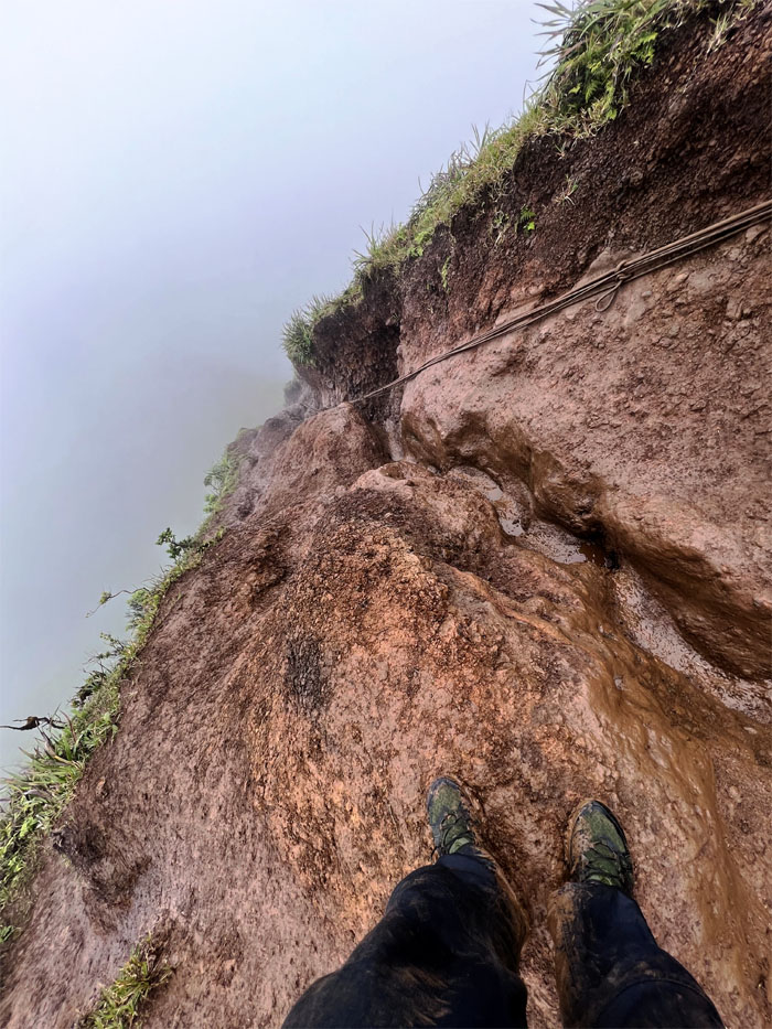
Slippery slope.
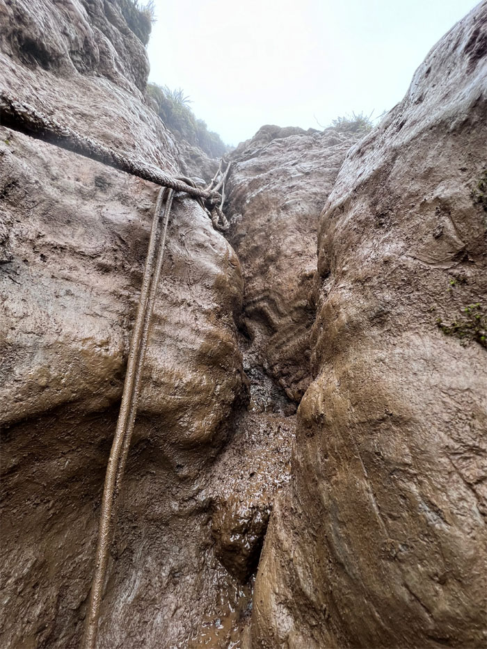
This is the picture of over trafficking by hikers on the ridge line. Believe it or not, most of the ridge was actually flat with vegetation on top at one time. Now it’s a wasteland of deeply rutted trenches that scar the topography. And it’s only going to get worse as the stampede to see the Stairway to Heaven intensifies as news of its impending removal circulates among the international community.
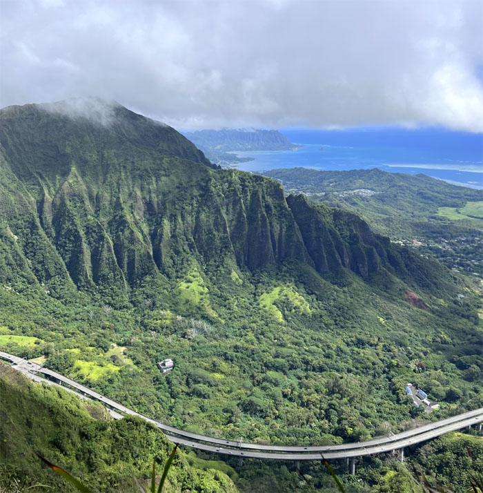
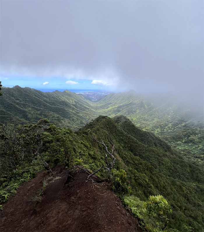
Looking into Moanalua Valley, the original site of the planned H-3 highway until a court ruled in 1977 that the area was a National Historic Landmark and exempt from any construction.
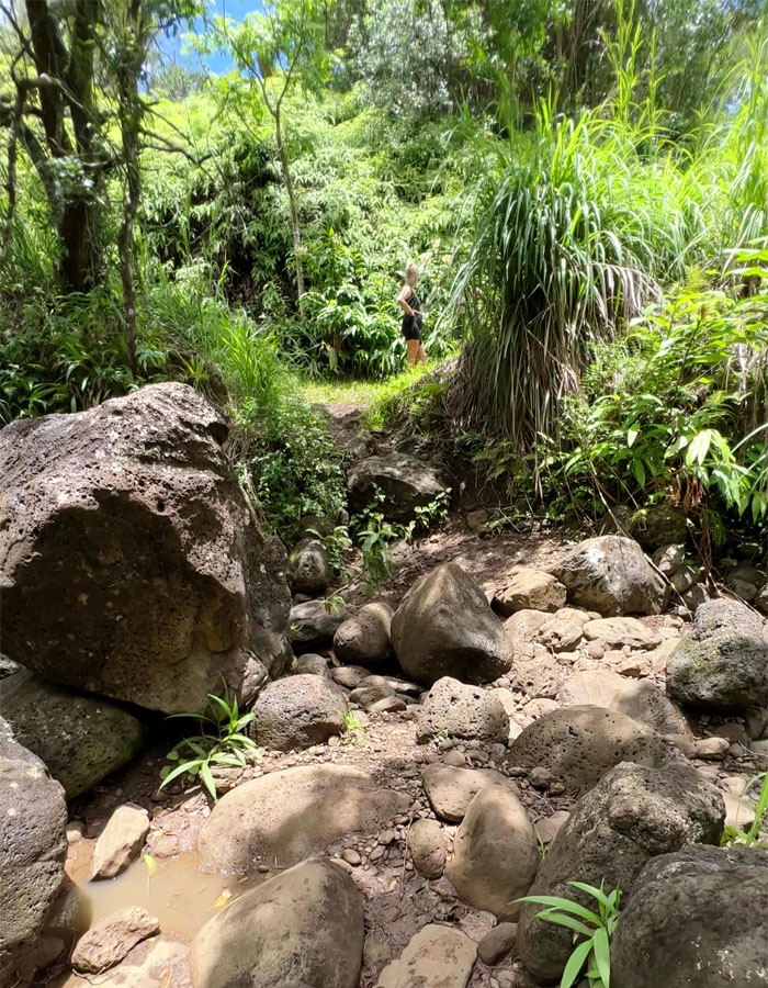
Dropping off the ridge and crossing the parched stream bed as I made my way back out on the Kamananui Valley Trail.
I met up with Tessa in the park who was my ride if I had continued my mountain traverse, but she was nice enough to drop off a cold carbonated beverage and freshly baked goods for my consumption. Mahalo!
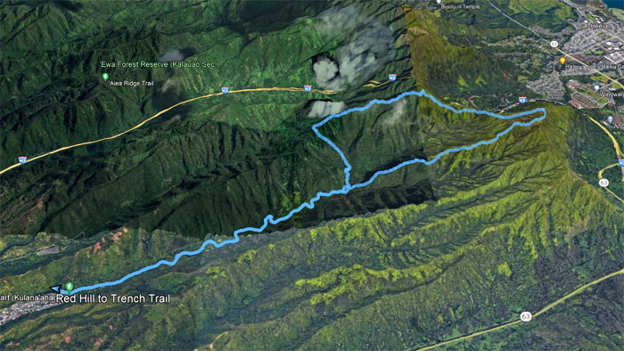
My solitary day in the mountains covered 10.7 miles that was covered with a mixed bag of inclement and sunny weather. Not a bad way to spend the day.
Note: I have been made aware that some hikers have been using my blog as a hiking guide and getting lost on the trails. Please note that this blog was made to document the hike for the crew(s) that did it. That is why some of my comments will seem to have no relevance or meaning to anybody outside of the crew(s) that hiked that trail. My blog was never meant as a hiking guide, so please do not treat it as such. If you find inspiration and entertainment from these hikes, that is more than enough. If you plan on replicating these hikes, do so in the knowledge that you should do your own research accordingly as trail conditions, access, legalities and so forth are constantly in flux. What was current today is most likely yesterdays news. Please be prepared to accept any risks and responsibilities on your own as you should know your own limitations, experience and abilities before you even set foot on a trail, as even the “simplest” or “easiest” of trails can present potential pitfalls for even the most “experienced” hikers. One should also always let somebody know of your hiking plans in case something doesn’t go as planned, better safe than sorry.

{ 2 comments… read them below or add one }
Nice, alone time with nature! Sorry couldn’t join you on this hike.
Next time my mountain bruddah
Aloha Tessa,
Thanks for the treats!
Mahalo