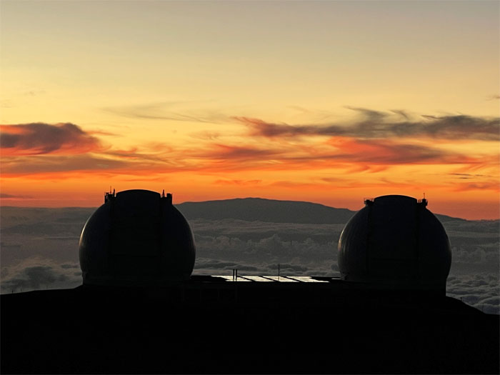
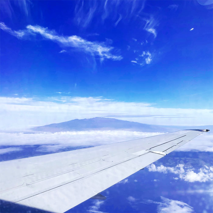
We had lofty intentions on flying to the Big Island but instead came away being well grounded with good intentions and fun times. Photo by Lilyn Avendano.
I had overslept and had to catch a later flight to join Aida, Lilyn, Narissa and Quan in the old sugar town of Hilo. We had breakfast at the highly recommended Café 100 and ate our food in the back of our truck.
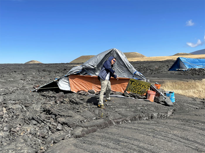
Stopping at the reminders of the TMT protests that had shut down the mountain a few years back. Photo by Quan Haberstroh.
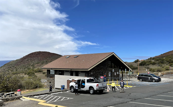
Waiting for the bathrooms to get cleaned at 9,200′ elevation. There is now a Park Ranger checkpoint that will only allow 4×4 vehicles to continue to the summit. Photo by Lilyn Avendano.
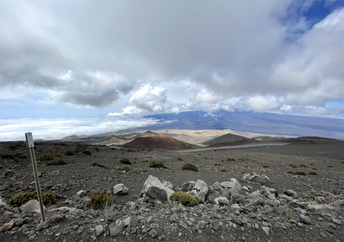
Looking to see how far we had gained in elevation as we struggled to stay in the zipper lane going up without getting run off the road by a non-observant heavy machine operator.
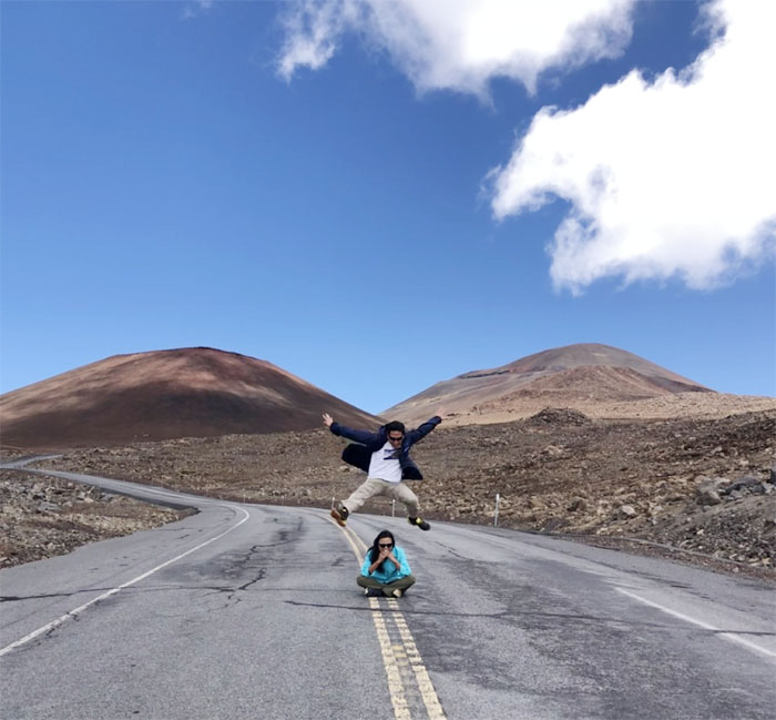
Testing out my high altitude hurdling abilities. Photo by Quan Haberstroh.
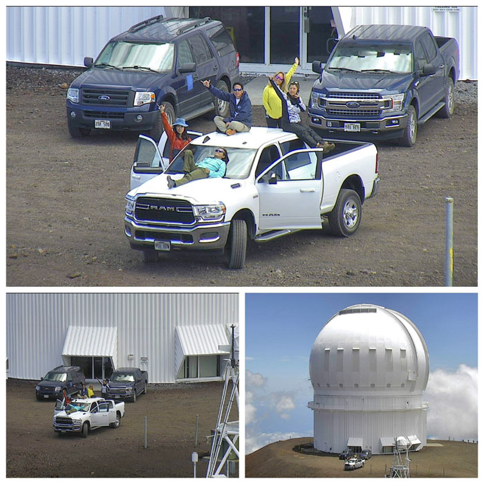
Closer. Closer. Closer. Photos by Grant Matsushige.
Quan with our eye in the sky cameraman.
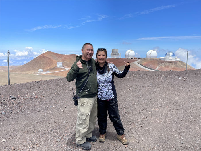
Enjoying the views from the tallest mountain on Earth, if measured from base to peak, it tops out at over 33,500′. Or one can settle for the more commonly accepted elevation of 13,803′. Photo by Lilyn Avendano.
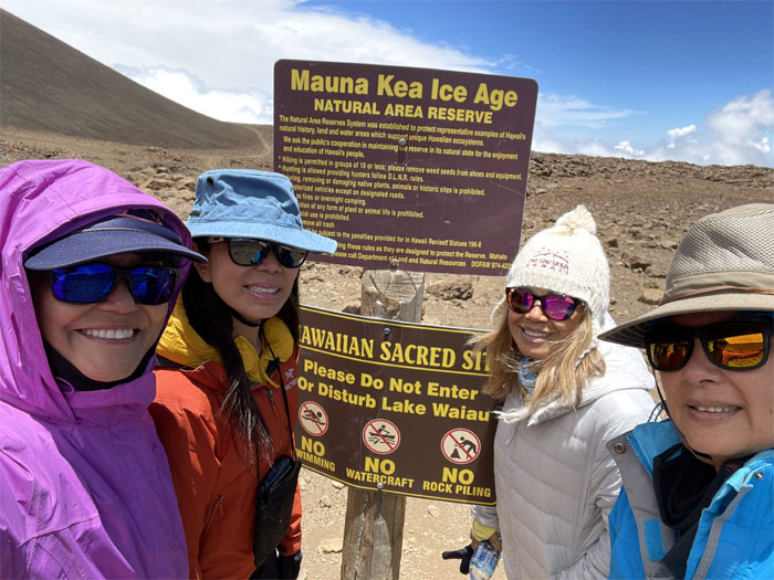
Let’s take our gender group photo! Photo by Lilyn Avendano.
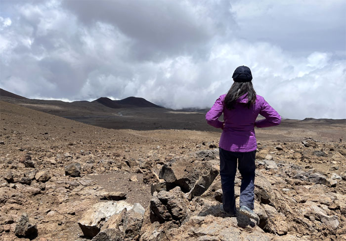
Setting foot on the volcanic terrain that was to be a small test to see how the group would fare at high elevation.
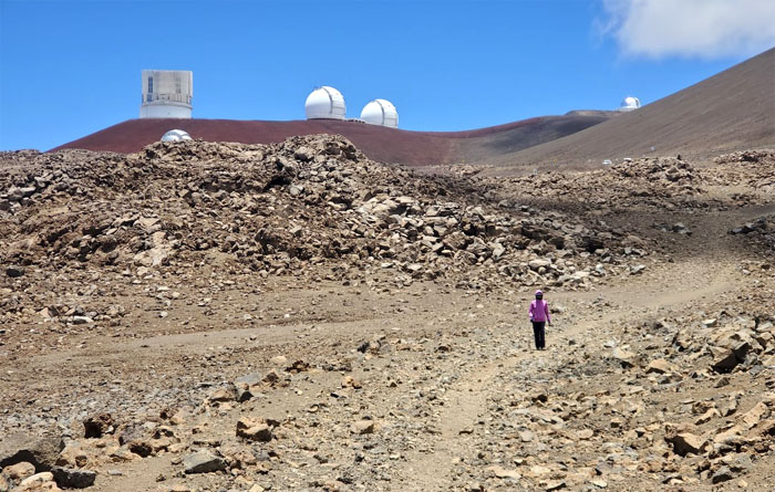
Leaving the 13 observatories behind us. We’ll be back. Photo by Aida Gordon.
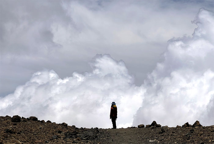
Aida above the clouds. Photo by Lilyn Avendano.
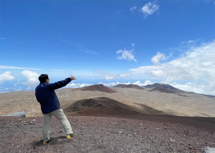
Looking down at the Humu’ula Trail as it winds its way through the cinder cone dotted landscape. Photo by Quan Haberstroh.
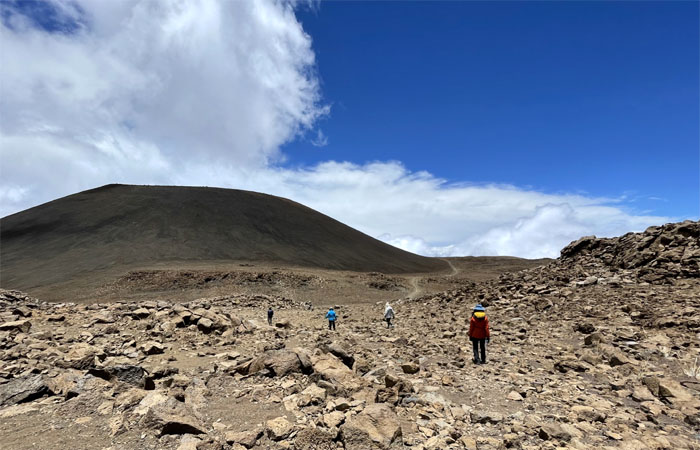
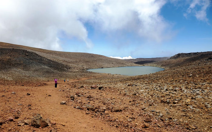
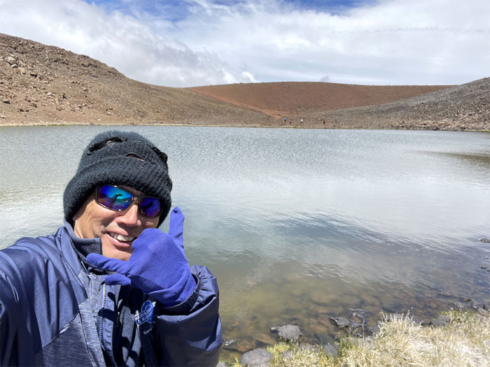
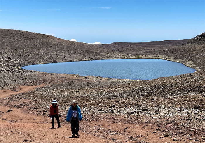
Descending down to one of the highest lakes in the country. Photo by Aida Gordon.
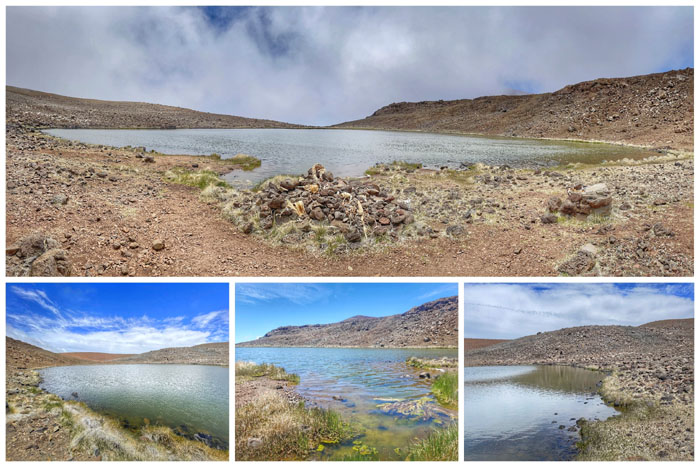
The heart shaped lake is located inside the Pu’u Waiau cinder cone. Photo by Quan Haberstroh.
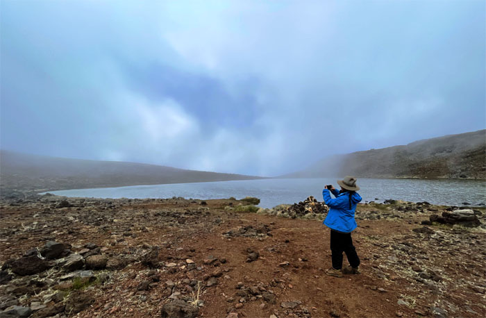
The clouds briefly drifted across the perched body of water at 13,020′ elevation. Photo by Lilyn Avendano.
The alpine lake surface area fluctuates between 5,000 to 7,000 square meters and is fed by rainfall and snowmelt. The waters are retained by what many think are a combination of permafrost and compressed ash layers.
A rare sighting of the Thai Yellow Curry Fall. Photo by Quan Haberstroh.
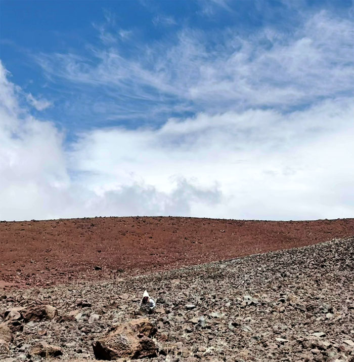
Group photo from across the far side of the lake. Can you see the group for the volcanic rocks?
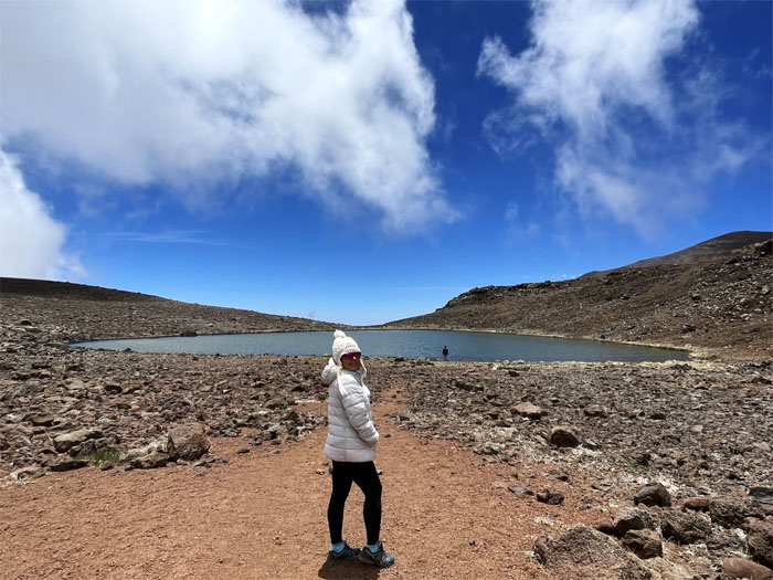
Looking across the swirling waters to the other side. Photo by Lilyn Avendano.
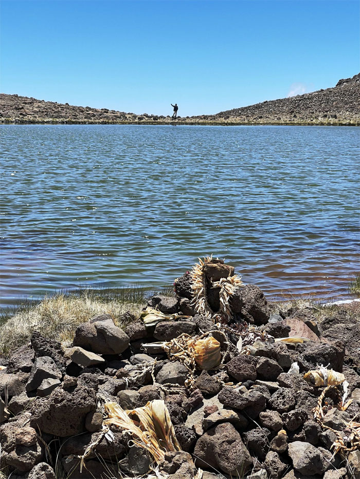
Leaving the sacred waters behind us as we hiked back up the hill. Photo by Lilyn Avendano.
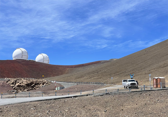
Of all the places to park, we blocked the porta potties. We won’t do it again. Photo by Lilyn Avendano.
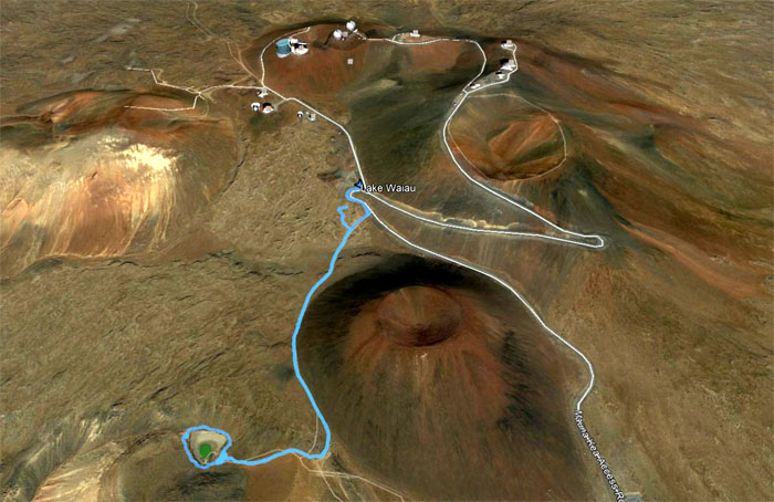
Our hike to this sacred body of water covered less than two miles. We drove down the mountain where we picked up Quan’s cousins truck and got Matt at the airport and had dinner at Tetsumen. My first choice was not available. Shades of Greek Marina.
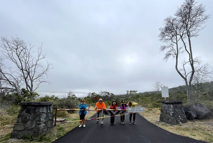
Somebody needs to get with the program of looking sad as our plan of staging a truck at the Mauna Loa Lookout had been stopped dead in its tracks due to a locked gate. Plans B, C and D were being tossed around for consideration. Matt was still hedging on Plan A.
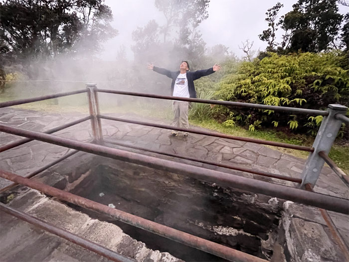
Enjoying the open sauna fed by bills and coins. Photo by Lilyn Avendano.
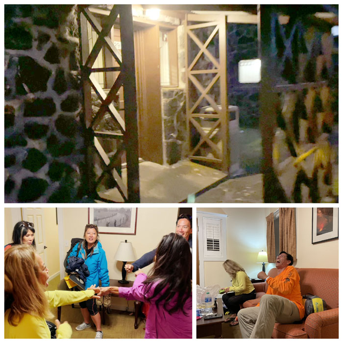
Checking into Cabin #29 which was going to be the future home of my GoPro, played Jan Ken Po to determine who would get the couch or the beds and Narissa gave Matt advice as to what hole she wanted her little friend in.
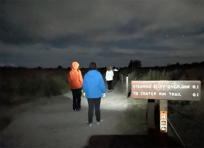
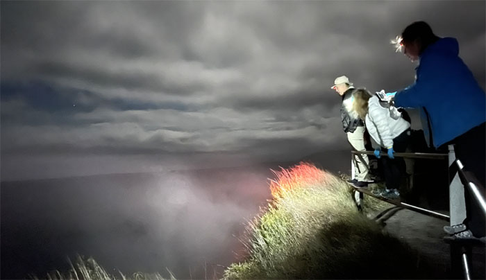
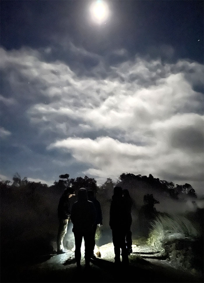
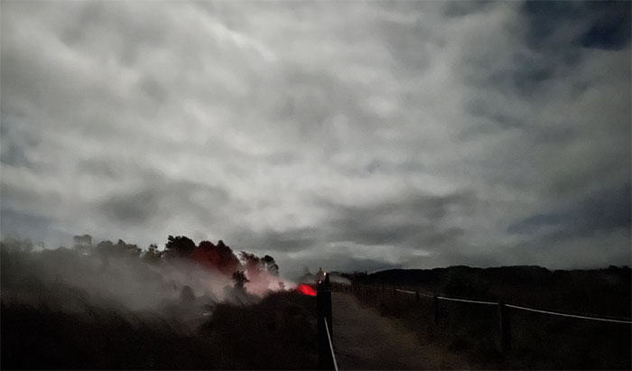
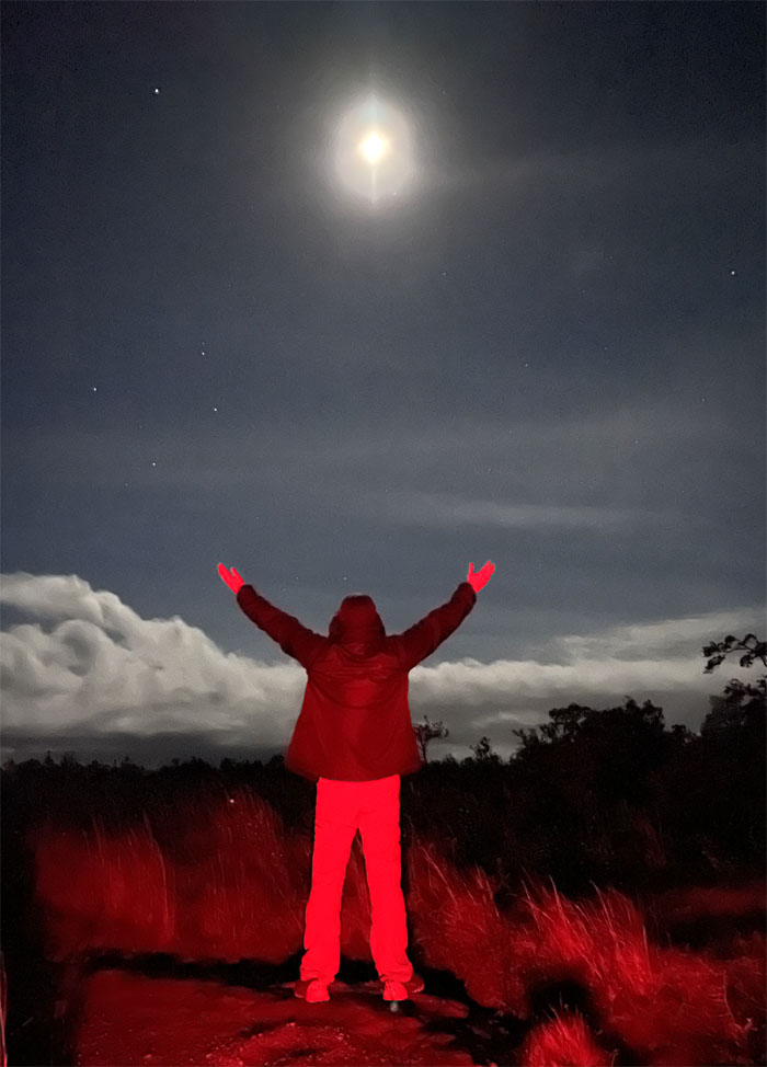
We went for a late night stroll hoping to catch some lava fireworks and caught red tinted steam instead.
The group peering into Kilauea Caldera. Photo by Lilyn Avendano.
Keeping warm over one of numerous steam cracks in the ground.
Matt checking out another steam vent further down the trail.
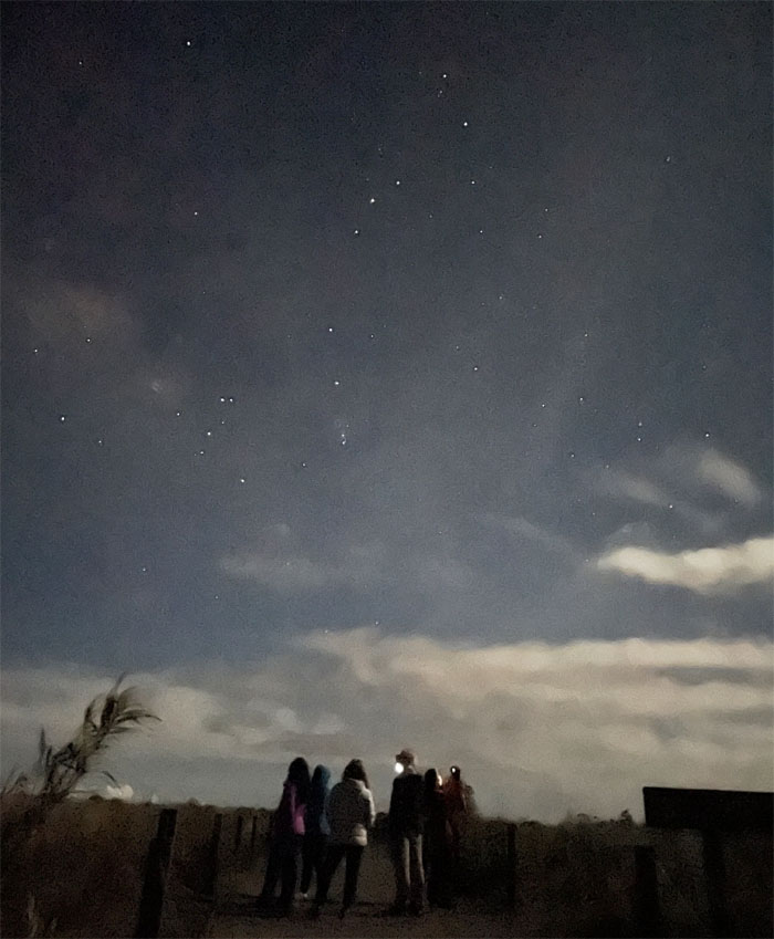
Taking an impromptu astronomy class.
To all a good night and don’t let the coqui frogs bite. Photo by Matt Vidaurri.
Note: I have been made aware that some hikers have been using my blog as a hiking guide and getting lost on the trails. Please note that this blog was made to document the hike for the crew(s) that did it. That is why some of my comments will seem to have no relevance or meaning to anybody outside of the crew(s) that hiked that trail. My blog was never meant as a hiking guide, so please do not treat it as such. If you find inspiration and entertainment from these hikes, that is more than enough. If you plan on replicating these hikes, do so in the knowledge that you should do your own research accordingly as trail conditions, access, legalities and so forth are constantly in flux. What was current today is most likely yesterdays news. Please be prepared to accept any risks and responsibilities on your own as you should know your own limitations, experience and abilities before you even set foot on a trail, as even the “simplest” or “easiest” of trails can present potential pitfalls for even the most “experienced” hikers.

{ 2 comments… read them below or add one }
Great and funny write up as always ????
Aloha Aida,
Thanks for coming and participating in the fun.
Mahalo