
Met up with Chris B and Chris C deep in Moanalua Valley to attempt another saddle hike. Weather looked somewhat promising. Empty promises.
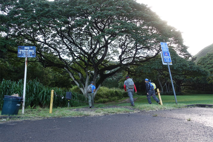
Trailhead
It was a pleasant surprise to bump into Ted “Marathon Man” Calvero in the parking lot.
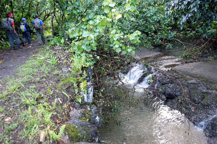
Kamananui Trail
Crossing over one of seven turn-of-the-century stone bridges that kept our feet dry from the swollen stream. For now.

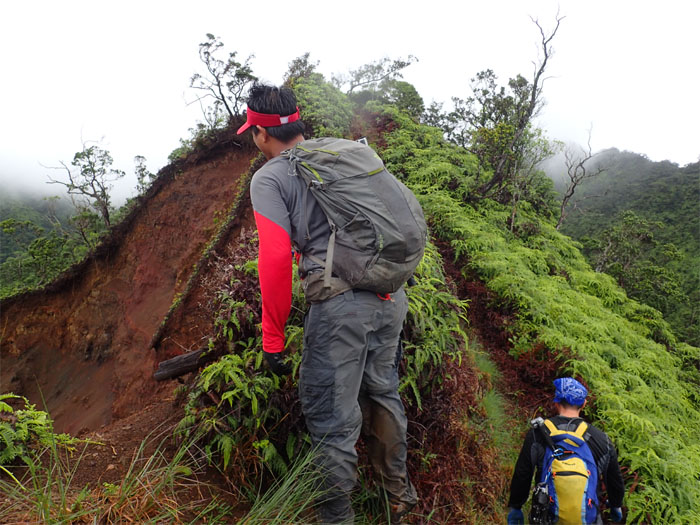
Kamananui Trail
The group passing an eroded section of the trail.
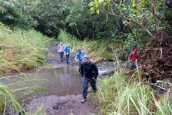
Kamananui Trail
Jump in! Your feet will get wet. Now or later.
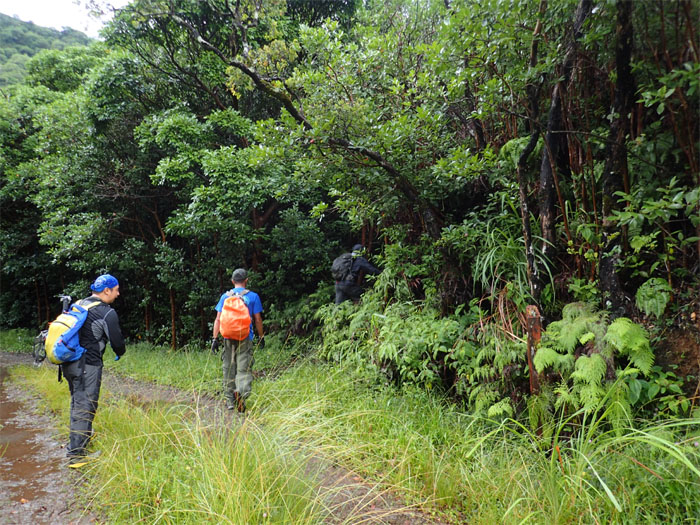
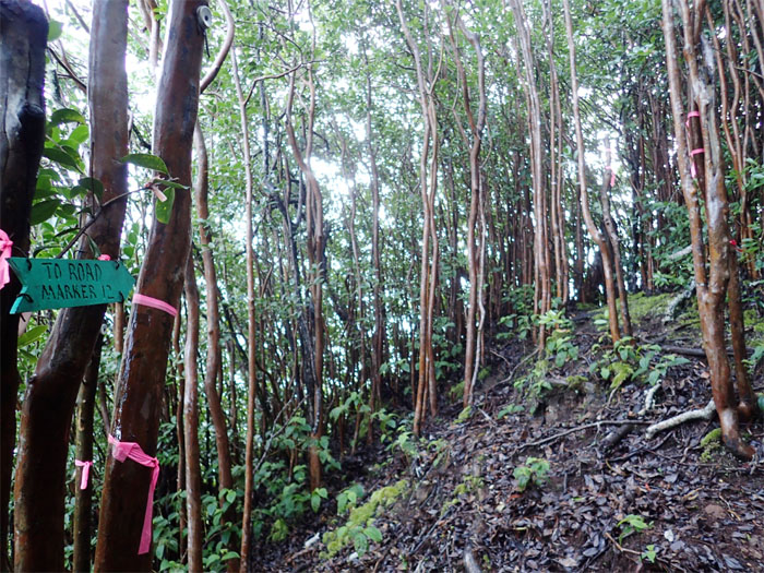
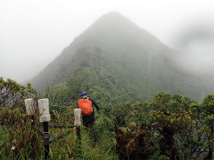
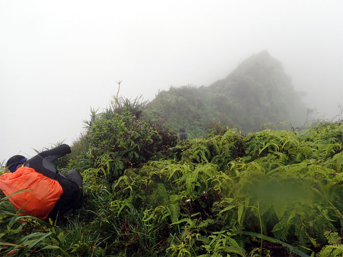
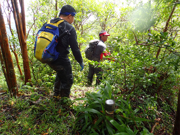
Kamananui Trail
Marker 12. Pay close attention to the orange bag cover.
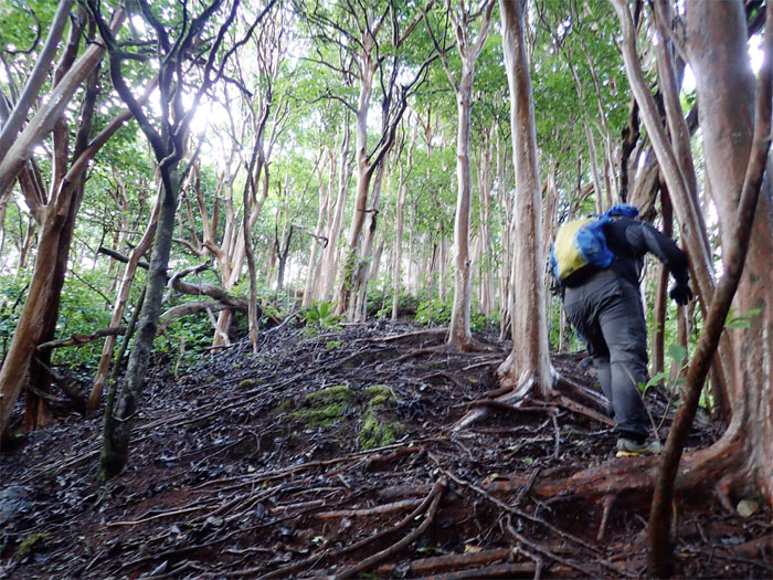
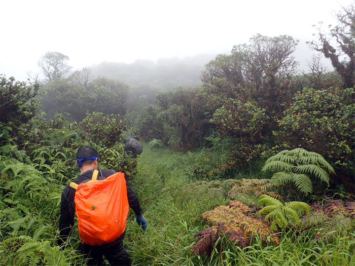
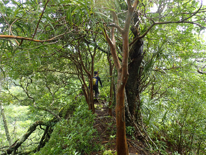
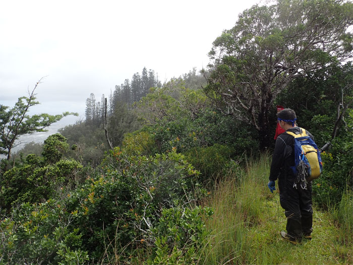
Tripler Ridge
Slow cardio burn uphill.
Tripler Ridge
The ridge was awash with invasive strawberry guava trees.
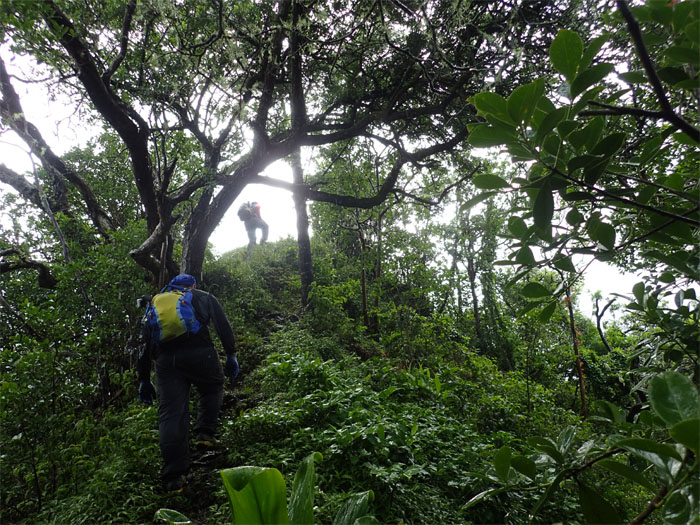
Tripler Ridge
Many hikers have characterized this ridge as a rugged and grueling trail. Not far off the mark.
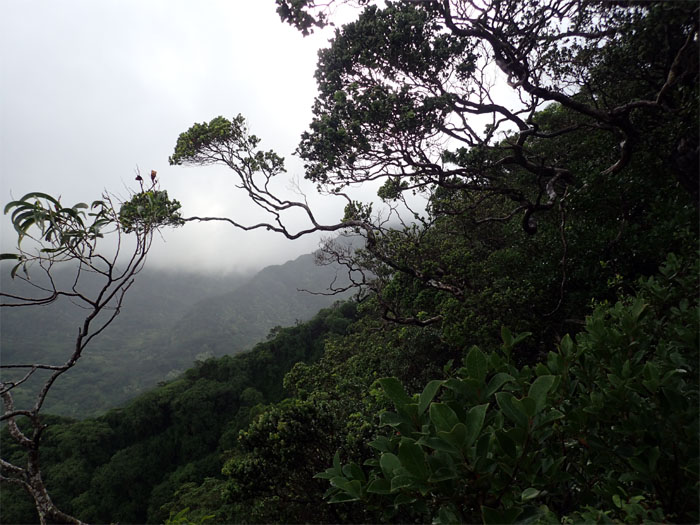
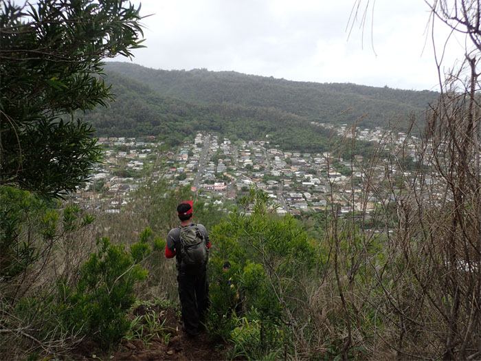
Tripler Ridge
Looking down into the valley at Moanalua Middle Ridge.
Tripler Ridge
Where’s Ted?
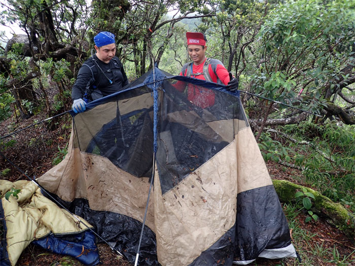
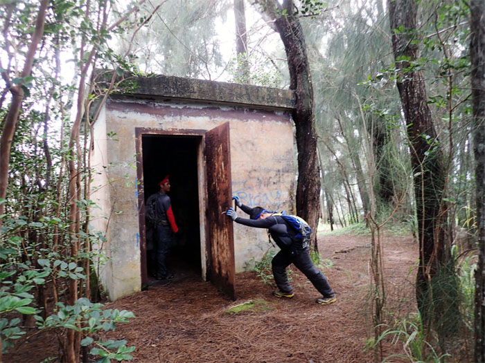
Base Camp
We found a tent and sleeping bag. Somewhat saturated. Somewhat used. Somewhat buss.
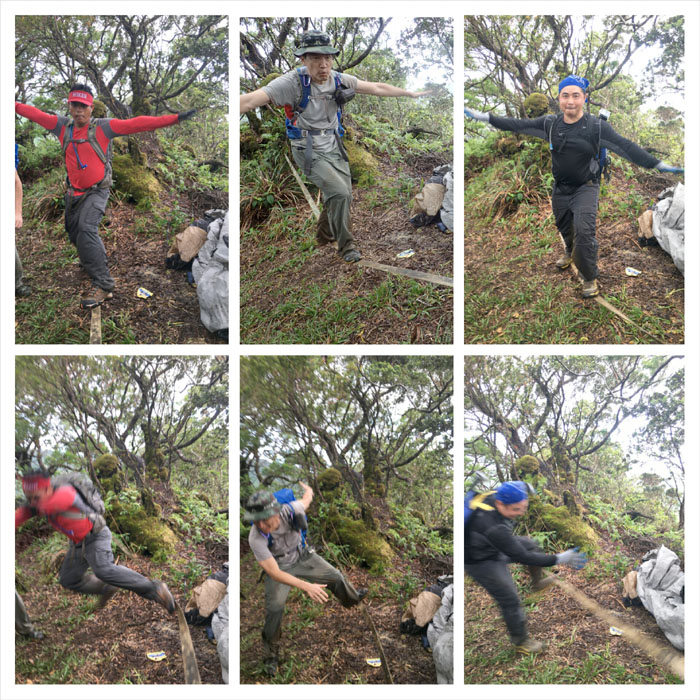
Slacklining
Webbing. Two trees. 15 seconds of shakiness. Divide by three. Photos by Chris Chun.
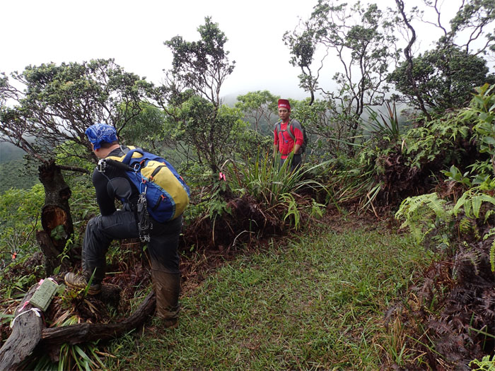
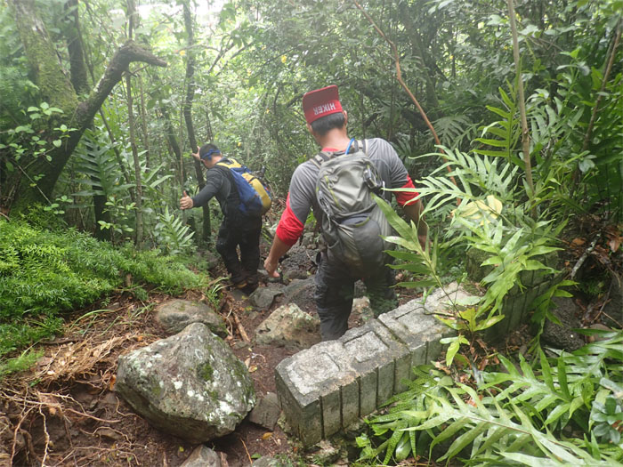
Tripler Ridge
Chris B checking out an eroded section of the ridge.
Poke Stop
Some of us stopped to check out a trail to the valley floor. Others collected poke balls.
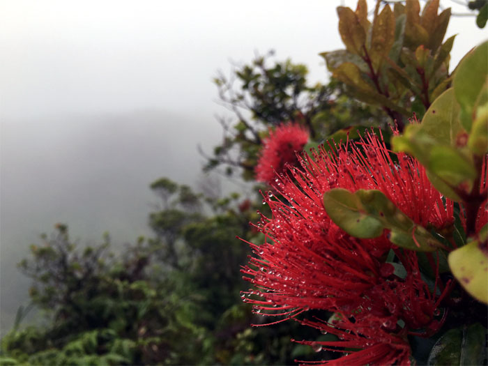
Tripler Ridge
Raindrops were in the air. On the mountains. On the lehua flowers. On the hikers. Photo by Chris Chun.
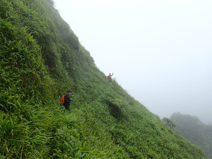
Tripler Ridge
We passed multiples hikers that were making their way down the ridge.
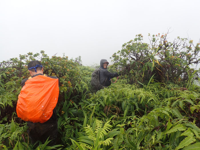
Tripler Ridge
Same orange bag cover. Different hiker. What the heck?
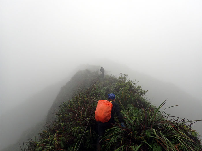
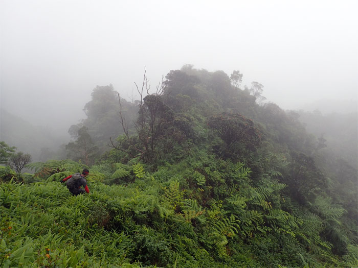
Tripler Ridge
The last push up the socked-in, wet and muddy ridge to the summit. Rain showers helped to wash everything together.
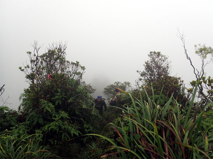
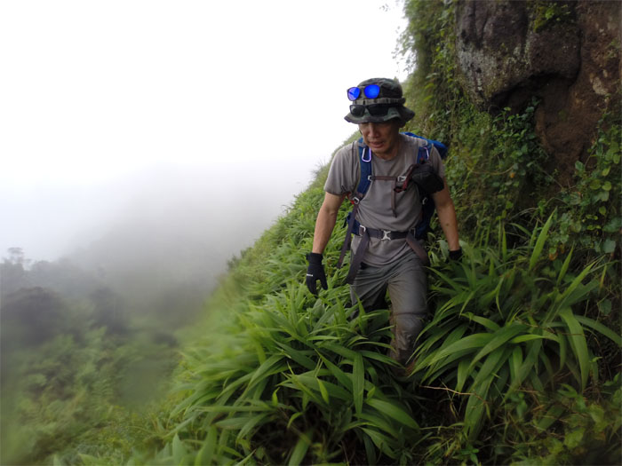
Tripler Ridge
Camouflaged hiker.
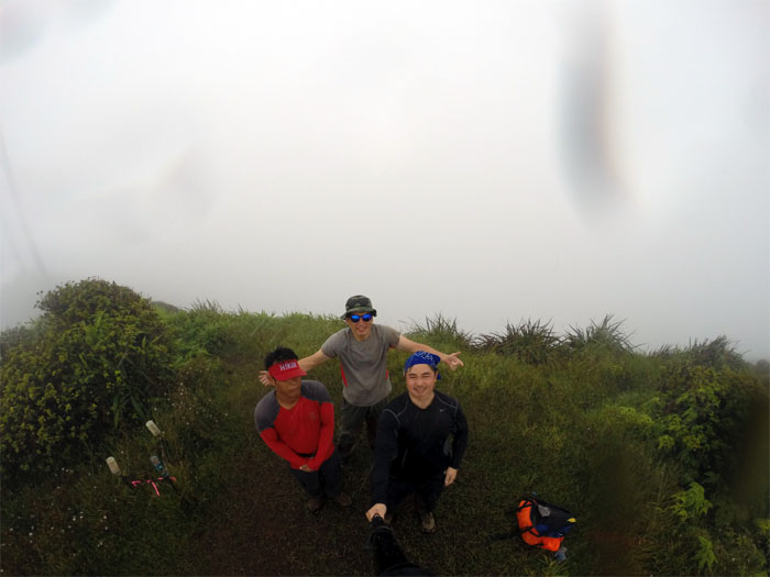
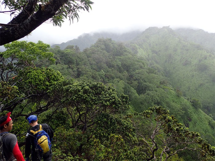
Tripler Summit
Group photo at the 2,760′ top, left to right: Chris Bautista, myself and Chris Chun. What a view!
KSRT
We turned right on the cloudy and rain kissed Ko’olau Summit Ridge Trail.
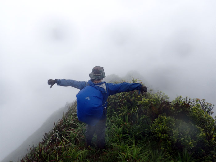
KSRT
Thumbs down. The steady rain and socked in conditions forced us to go with Plan B. Down Bowman Trail. Photo by Chris Chun.
Bowman Trail
Is this the right way?
Bowman Trail
Making our way through the bog.

Bowman Trail
Dropping down into the clouds.
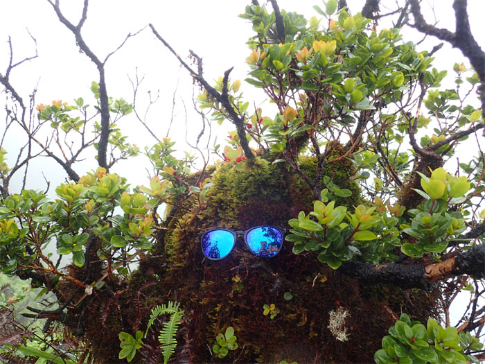
Double Sunglass Mountain
HOGO. Hike one, get one free. Photo by Chris Chun.
Bowman Trail
Going down the face of Pu’u Kahuauli.
Bowman Trail
We dropped off the mountain and onto Bowman ridge.

Bowman Trail
Stuart Ball states “Bowman is the most difficult of the ungraded ridge hikes in the leeward Ko’olau Range.” Not to mention a long hike that never seems to end. No wonder most hikers take the shortcut or the commando trail.
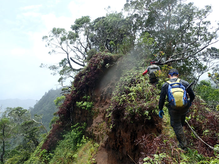
Bowman Trail
Hiking up and over one of several eroded sections on the trail. We ran into another hiker that had come up from the bottom of Bowman and gave up when he saw the socked in summit and turned around. So close and yet so far.
Bowman Trail
Passing one of several United States Military Reservation (USMR) markers on our way down the ridge.
Bowman Trail
The trail took on a more pronounced ridge look on certain sections of the trail.
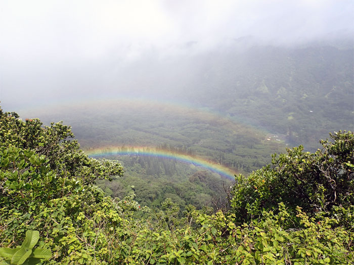
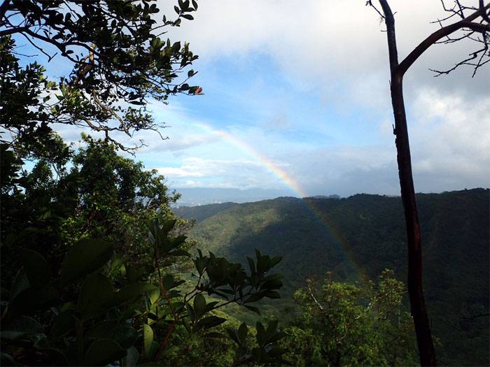
Bowman Trail
Double rainbow in the valley.
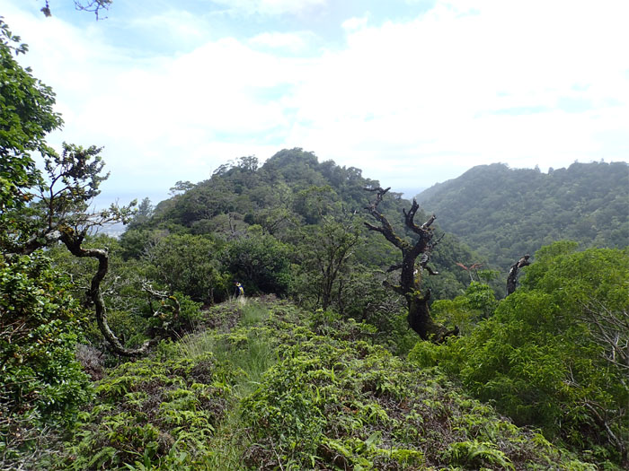
Bowman Trail
The trail opened to reveal another false summit. Tease.
Bowman Trail
Where and when does this ridge end? We were thinking that it terminated at the pine trees in the distance. Let it end.
Bowman Trail
Luckily we were wrong. Dead wrong. A few minutes later, we reached the official end of the Bowman trail.

Bowman Trail
Following the dirt road back to civilization.
Bowman Trail
The houses of Kalihi Valley.
Bowman Trail
We took the terraced trail straight down …
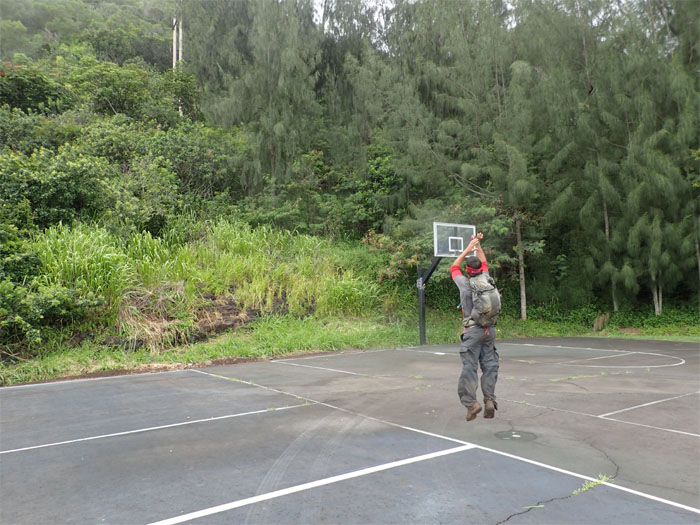
All pau
… to the basketball courts of Kalihi Elementary School.
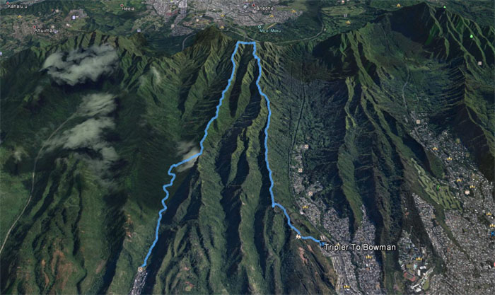
GPS Tracks
Our loop ridge hike covered a little over 9 miles and connected two hard and long ridges. Thanks to Jasmin for picking us up. Post hike meal at Outback’s. Coffee and soup. Liquid diet?
Note: I have been made aware the some hikers have been using my blog as a hiking guide and getting lost on the trails. Please note that this blog was made to document the hike for the crew(s) that did it. That is why some of my comments will seem to have no relevance or meaning to anybody outside of the crew(s) that hiked that trail. My blog was never meant as a hiking guide, so please do not treat it as such. If you find inspiration and entertainment from these hikes, that is more than enough. If you plan on replicating these hikes, do so in the knowledge that you should do your own research accordingly as trail conditions, access, legalities and so forth are constantly in flux. What was current today is most likely yesterdays news. Please be prepared to accept any risks and responsibilities on your own as you should know your own limitations, experience and abilities before you even set foot on a trail, as even the “simplest” or “easiest” of trails can present potential pitfalls for even the most “experienced” hikers.
{ 0 comments… add one now }