
Ferlino joined me on the last hike of the year as we met up at Hawaii Loa.
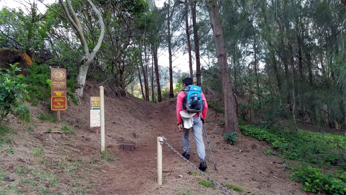
Trailhead
Somebody looked at their calendar through beer colored glasses, so off we went on the trail that we had just come down from last week.
Hawaii Loa Ridge Trail
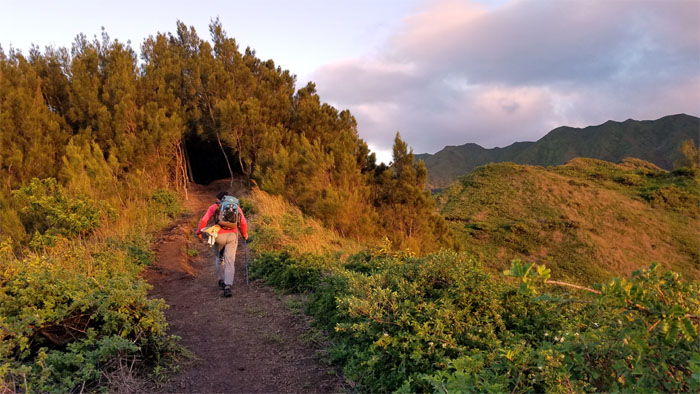
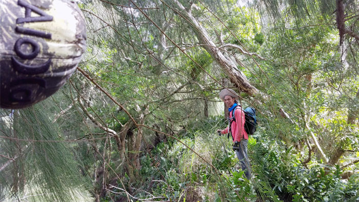
Heading into the stand of ironwood trees that provided temporary refuge from the cold winds that whistled through the hardy crowd.
Hawaii Loa Ridge Trail
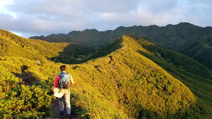
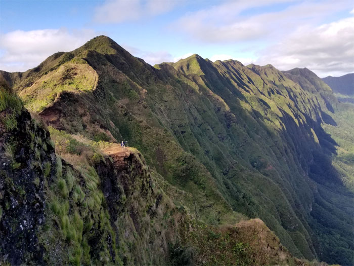
Breaking out onto the exposed ridge section that provided unfiltered views of the mountains.
Hawaii Loa Ridge Trail
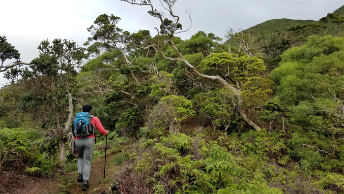
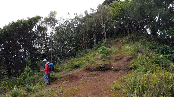
Passing through native forest as we gained elevation.
Hawaii Loa Ridge Trail
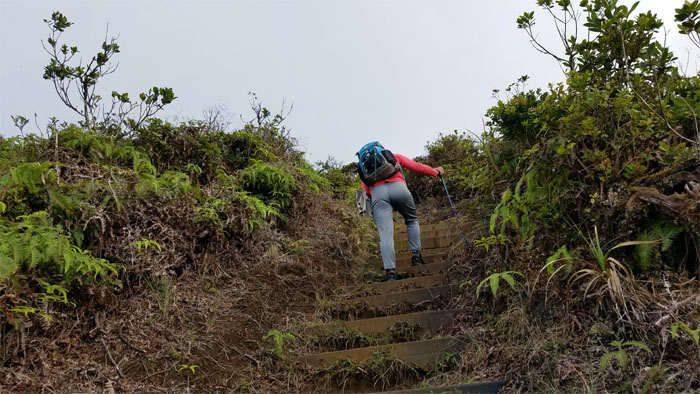
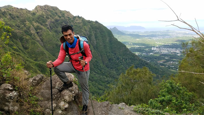
One step up at a time to the top.
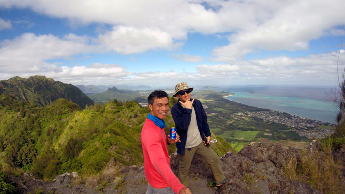
Hawaii Loa Summit
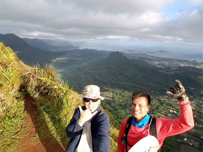
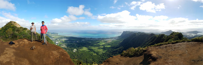
The sun was shining on our slightly sweaty faces at the 2,520′ knob.
Ko’olau Summit Ridge Trail (KSRT)
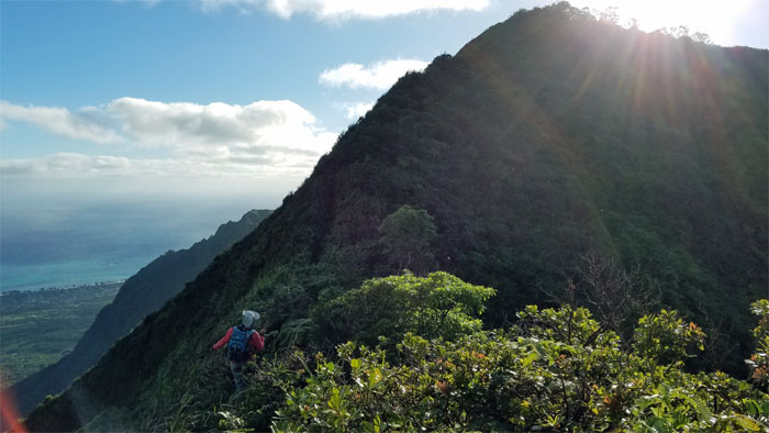
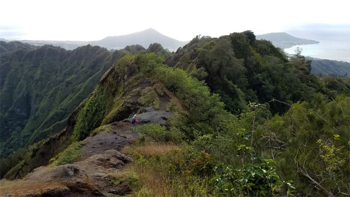
Stepping foot on the spine of the Ko’olau Mountains as we began to connect the summits together.
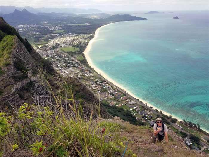
Kulepeamoa Summit
Coming home to briefly roost at the flapping chicken while stealing a glance at the near vertical approach down to the Windward side. Unfinished business.
KSRT
Mother Nature continued to bless us with balmy weather on our hiking traversal.
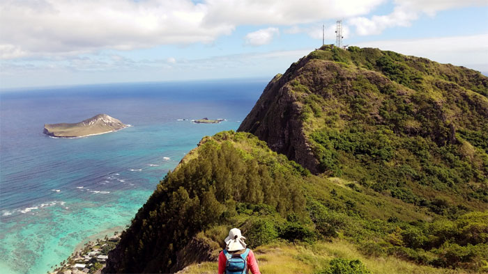
Pu’u O Kona Summit
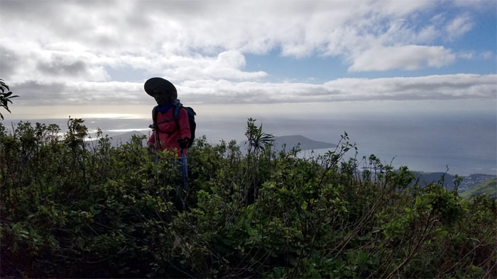
Enjoying the Windward views from the 2,200′ grassy flat topped hill.
Pu’u O Kona Summit
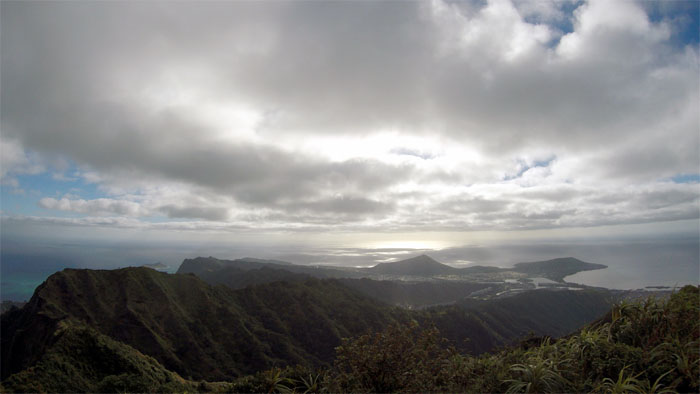
The mass of evaporated water seemed to be suspended above the mountains, providing us with temporary diffused cover. Photo by Ferlino Carinio.
KSRT
Brushing past the waist high overgrowth as we continued our way on the ridge line to the next summit.
KSRT
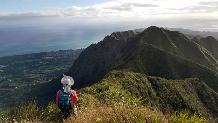
Looking back at the Windward side of the Ko’olau’s with her fluted ridges cascading down into the valley floors. Photo by Ferlino Carinio.
KSRT
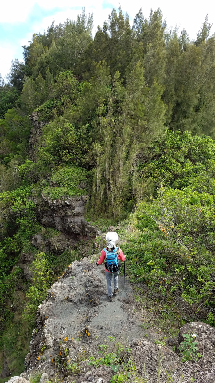
Crossing the eroded section of the trail.
Kuli’ou’ou Summit
Two legged and four legged hikers quickly filled the 2,028′ eroded hill.

KSRT
We bumped into Trina and her birthday friend who were on their way to Pu’u O Kona. Photo by Ferlino Carinio.
Hahaione Junction
Turning left to avoid going down Hahaione Valley, as I mistakenly did on an earlier solo cross over.
KSRT
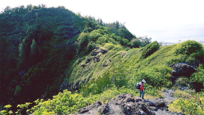
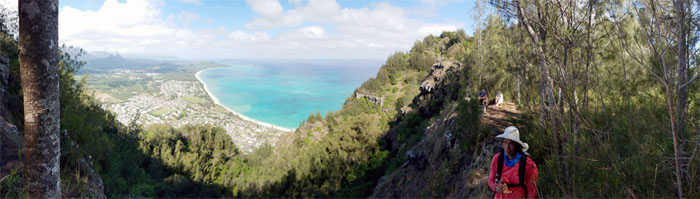
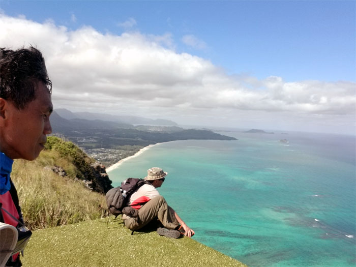
We briefly broke free of the tree lined ridge to soak in the views at this vantage point.
KSRT
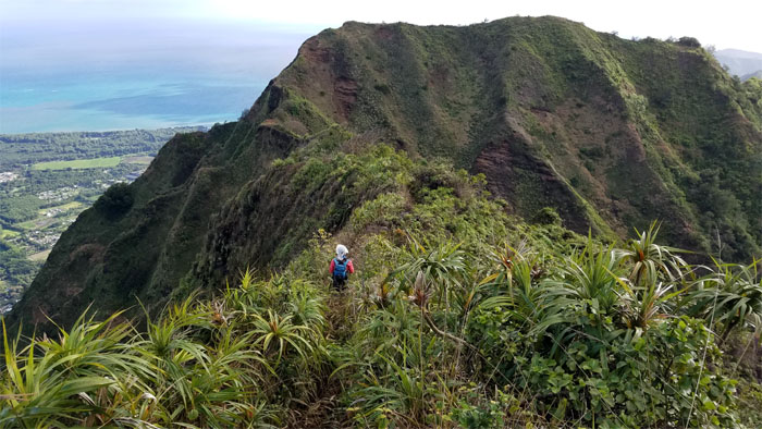
Making our way around the eroded and slippery trail that soon contoured around the Hahaione Pyramid.
KSRT
Enjoying our temporary respite from the overgrowth on an exposed section of the ridge.
KSRT
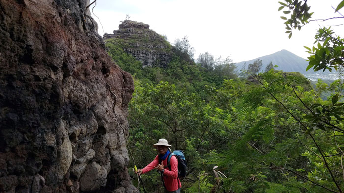
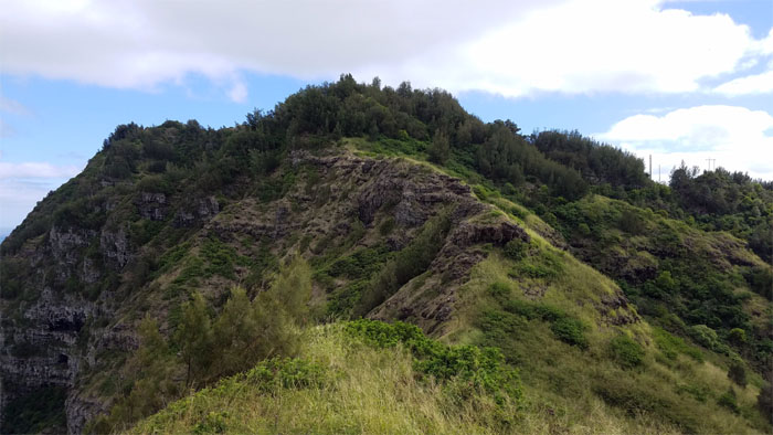
Ferlino climbing to the summit of Kaluanui.
Mariner’s Ridge Summit
Group photo at the top of the ridge trail that Kamehameha Schools would like the public to forget. Flashbacks of Kekoa Paulsen and Keoki Kerr ringing in my ears.
KSRT
After masticating our lunch, we resumed our hike on the edge of the cliff bordered by trees of varying heights.
KSRT
Plunging back into the mixed forest carpeted with pine needles that was alive with aloha.
KSRT
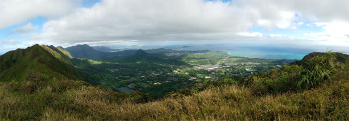
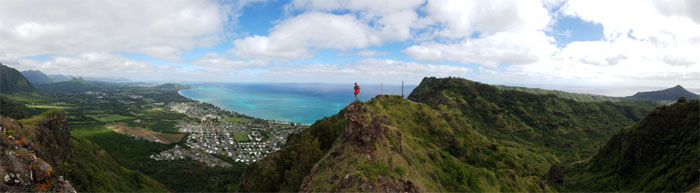
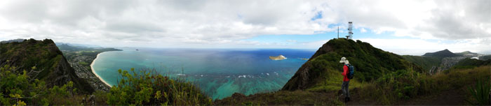
Panoramic view before the approach to the apex of the Tom-Tom trail.
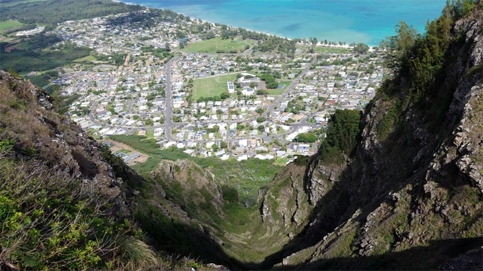
KSRT
Looking down into the always hypnotic, for me, gorge.
KSRT
We picked up the pace to seek shelter from the now searing temperatures that was unevenly tempered by the random trade winds.
Kamiloiki Summit
Enjoying the shaded summit with views of Waimanalo and beyond.
KSRT
Preparing to drop down into the saddle.
KSRT
Climbing out of the saddle. Photo by Ferlino Carinio.
KSRT
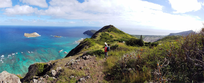
Panoramic view of the saddle before the communication towers.
KSRT
Feeling the wind against our faces and wishing we could fly. With a hang glider. Photo by Ferlino Carinio.
KSRT
Making our way on the hardscrabble ground that was largely absent of appreciable cover and bereft of cooling trade winds.
KSRT
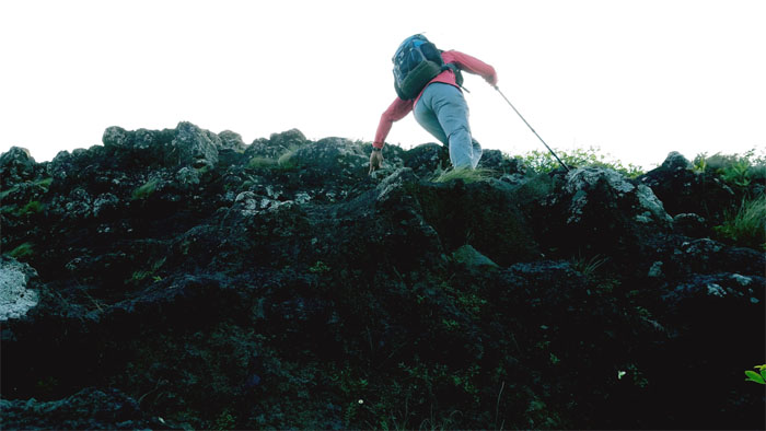
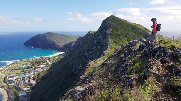
Ferlino preparing to climb down into our last saddle.
Makapu’u Puka
Somebody took the saying “Take a flying leap” literally.
KSRT
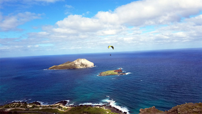
Watching several paragliders from a distance soaring and swooping.
KSRT
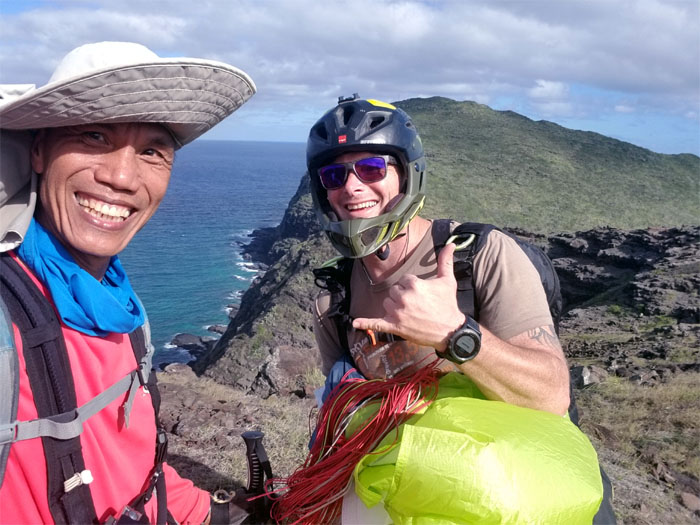
Up close and personal with one of them. What was your name?
KSRT
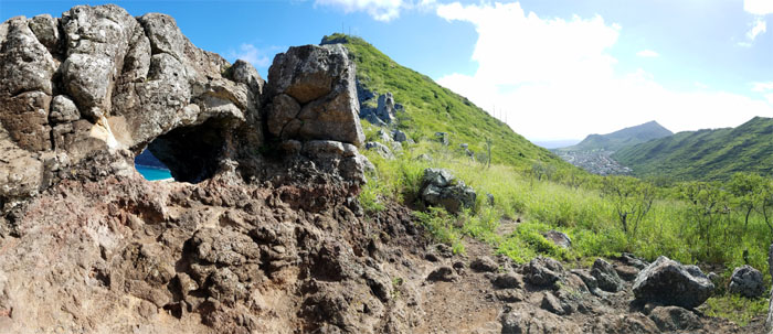
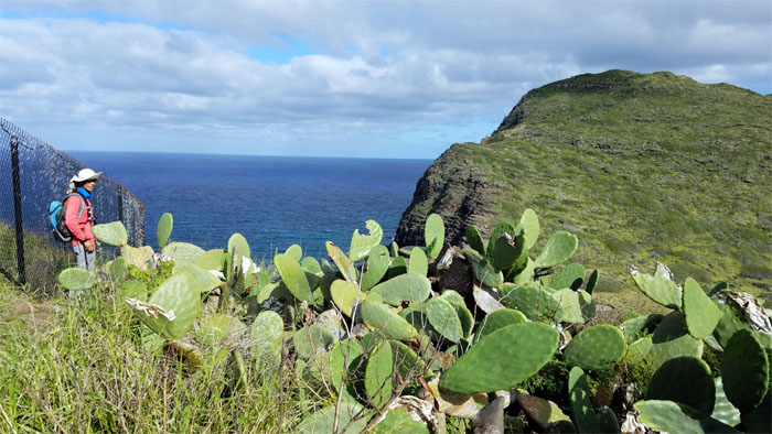
Skirting the patch of cacti as we followed the fence line down the look out.
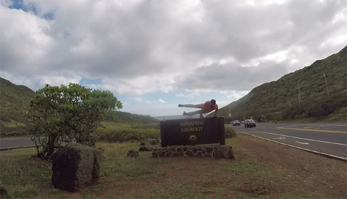
All pau
Mahalo to Ferlino’s friend, Mike for the ride back to our cars.

GPS Tracks
Our last hike of the year covered 9.44 miles under sunny skies and intermittent gentle trade winds. Congratulations to Ferlino for finishing the Southern half of the Ko’olau Mountains today. No post hike meal today so that we could spend time with our families to usher in the New Year.
Note: I have been made aware that some hikers have been using my blog as a hiking guide and getting lost on the trails. Please note that this blog was made to document the hike for the crew(s) that did it. That is why some of my comments will seem to have no relevance or meaning to anybody outside of the crew(s) that hiked that trail. My blog was never meant as a hiking guide, so please do not treat it as such. If you find inspiration and entertainment from these hikes, that is more than enough. If you plan on replicating these hikes, do so in the knowledge that you should do your own research accordingly as trail conditions, access, legalities and so forth are constantly in flux. What was current today is most likely yesterdays news. Please be prepared to accept any risks and responsibilities on your own as you should know your own limitations, experience and abilities before you even set foot on a trail, as even the “simplest” or “easiest” of trails can present potential pitfalls for even the most “experienced” hikers.
{ 0 comments… add one now }