
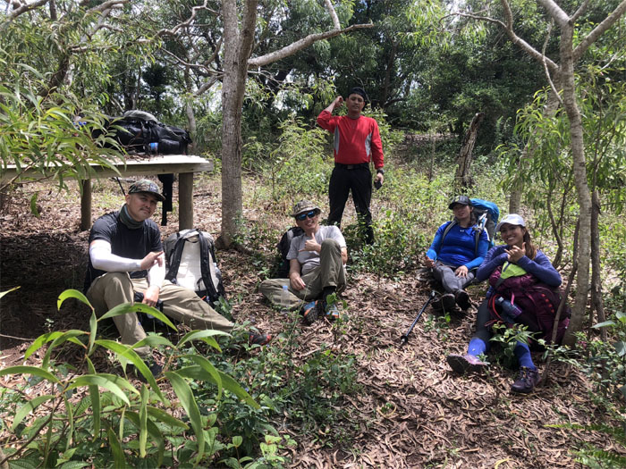
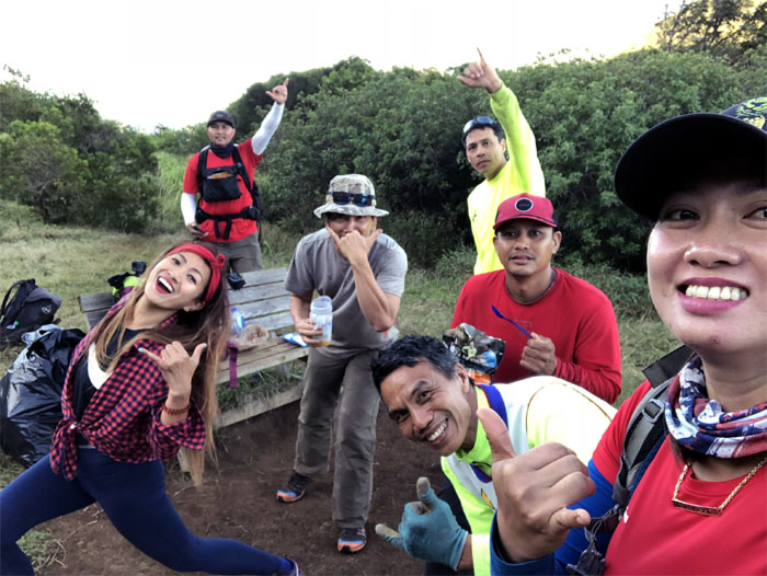
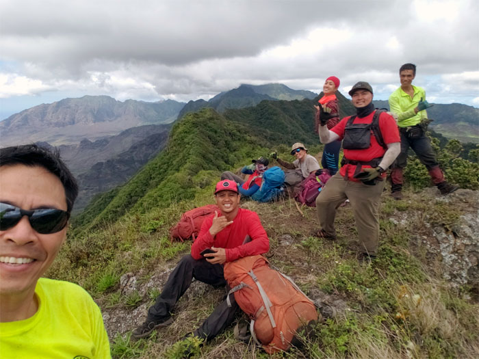
Met up with Analyn, Anne, Chris, Cisco and Ferlino to labor our way in the mountains this weekend. Thanks to Jasmin for waking up at an ungodly hour to drop us off.
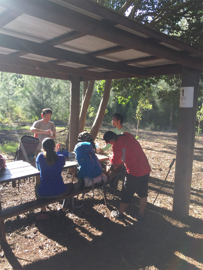
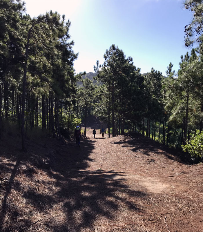
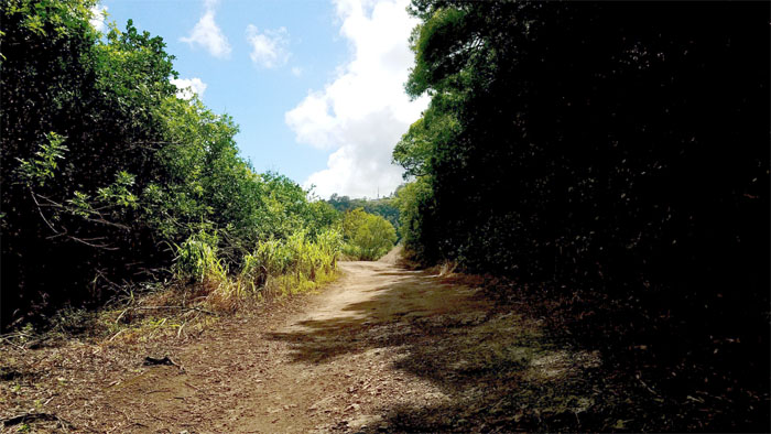
Trailhead
Walking in the footsteps of the trains that once circled this part of the island.
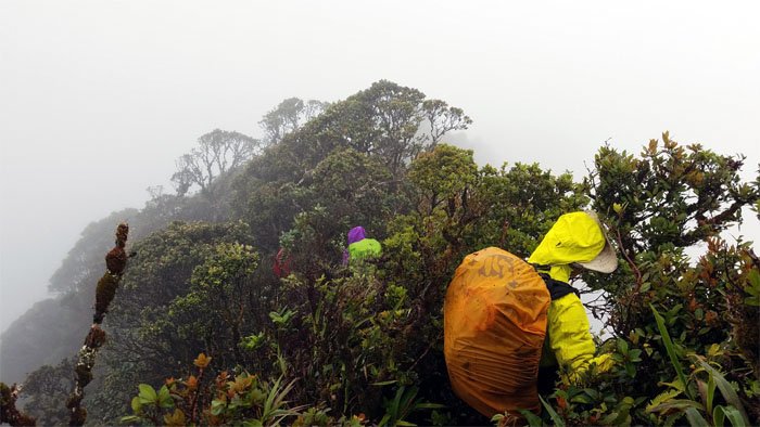
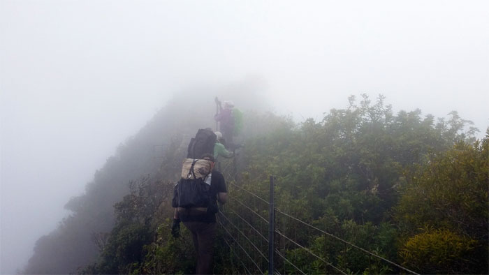
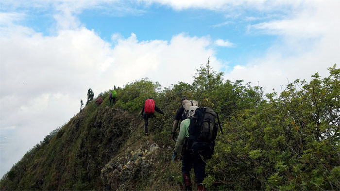
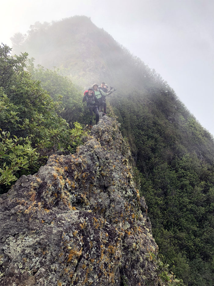
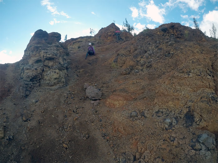
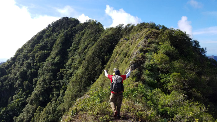
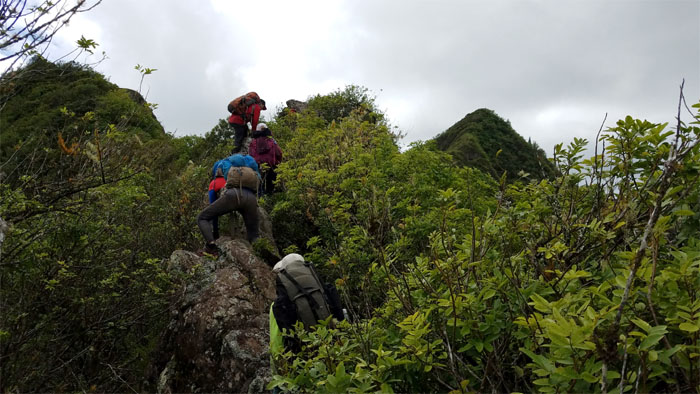
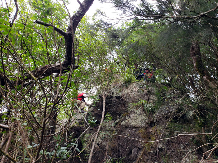
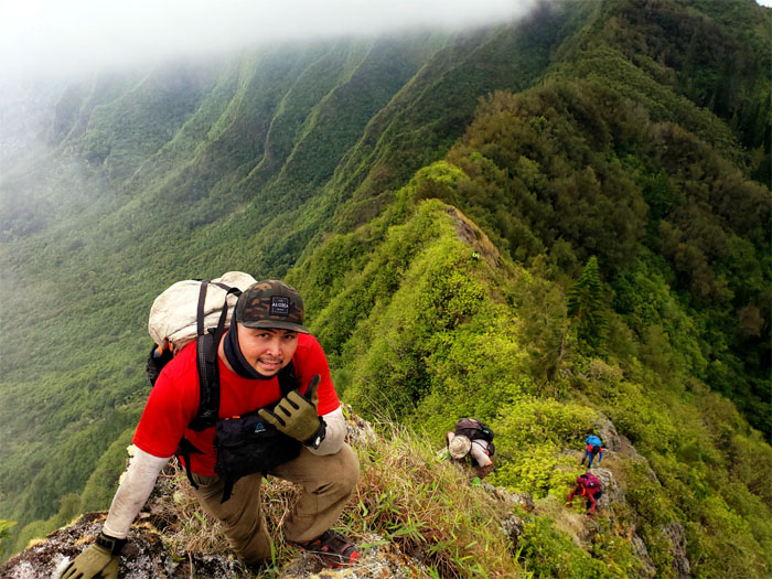
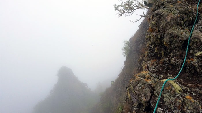
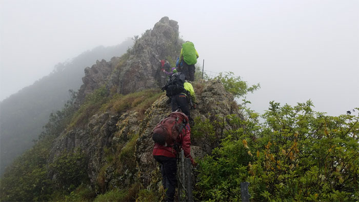
Ridge
Making our way up the rocky ridge line.
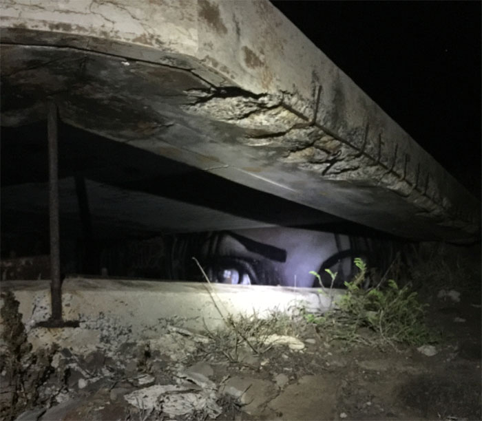
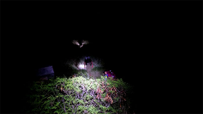
ArtByEoin
The pill boxes have eyes. Photo by Cisco Quintanilla.
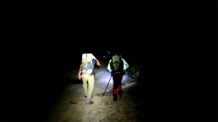
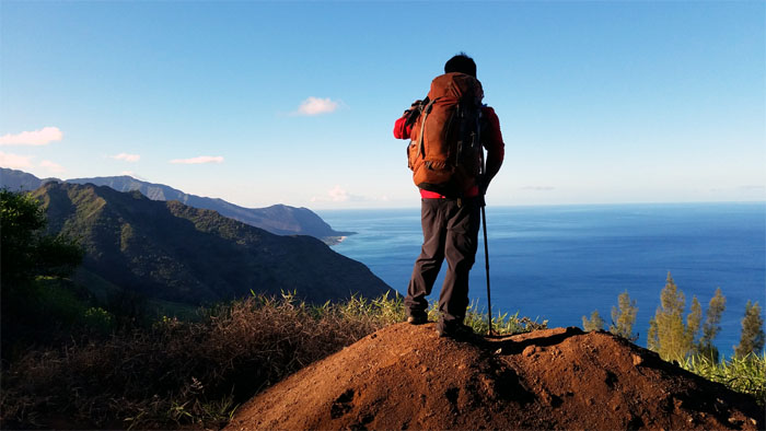
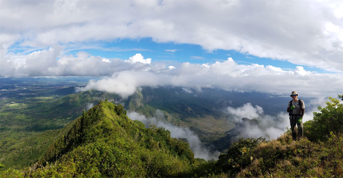
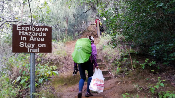
Kaena Point
Is it time to use the red light or the white light?
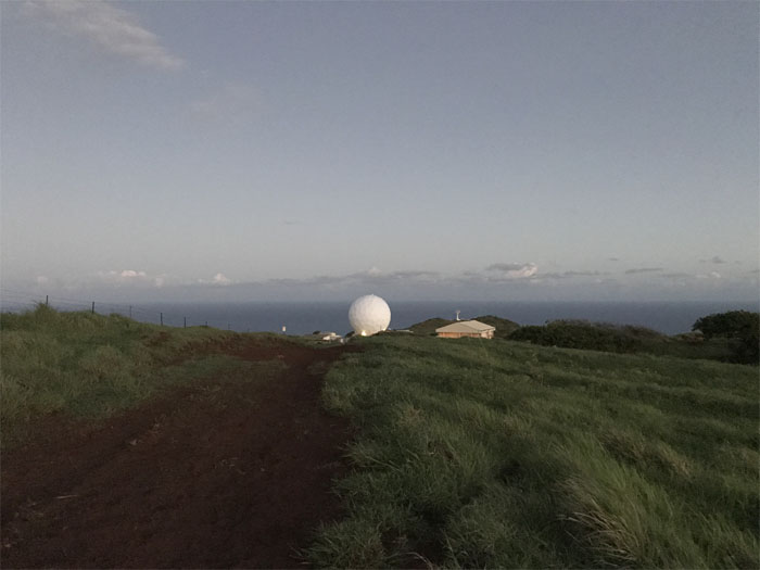
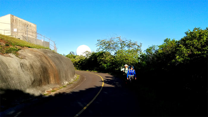
Golf ball
Too early for tee time. Photo by Chris Bautista
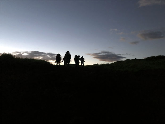
Sunrise
Silhouetted against the morning sky. Photo by Anne Fai.
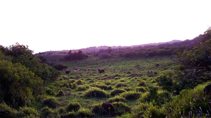
Grazing
Nothing to see here. Mooove along.
Blue Flash
We were able to capture her in slow motion due to the absence of motorized vehicles. Photo by Ferlino Carinio.
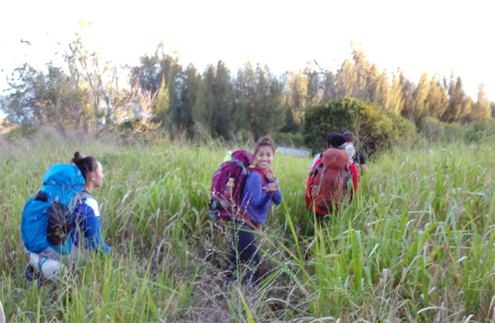
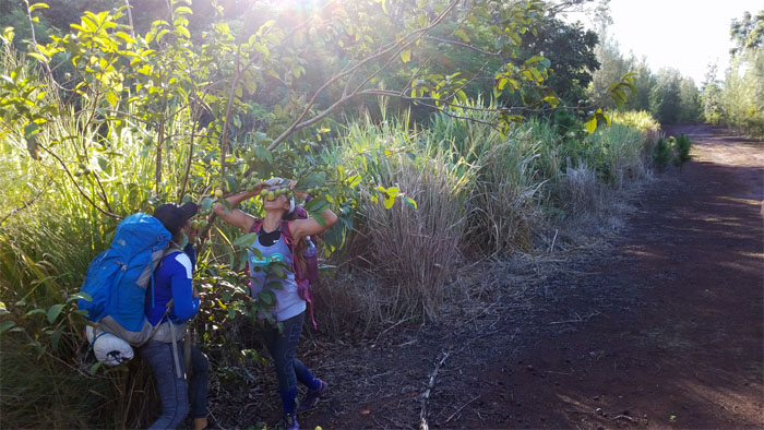
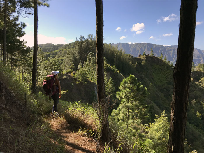
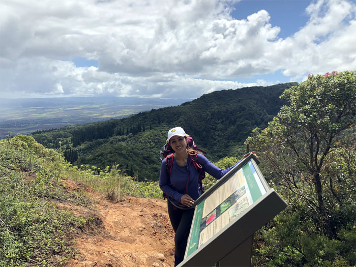
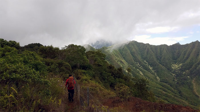
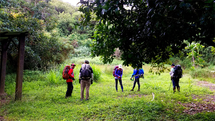
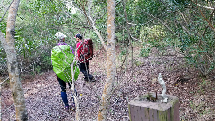
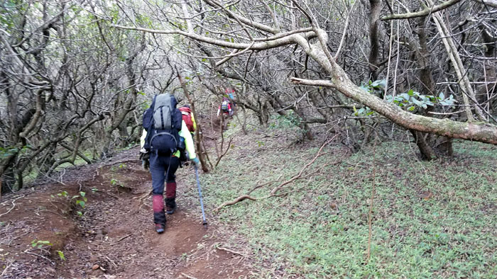
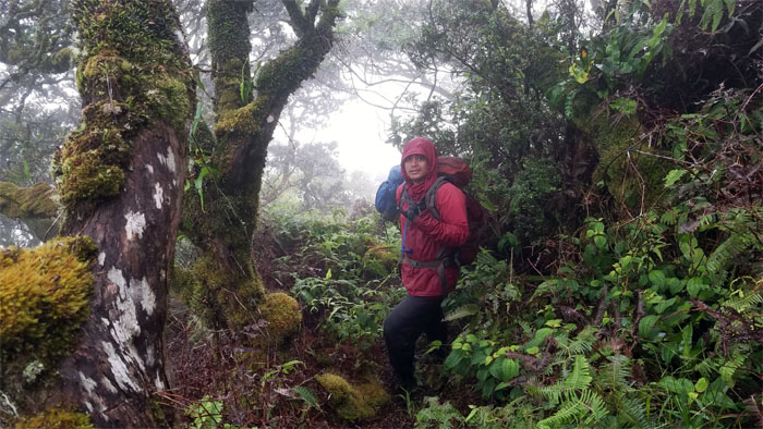
Kuaokala Trail
Leaving the road behind us.
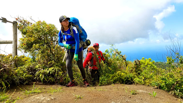
Kuaokala Trail
Chris looking out at the Waianae coastline.
BSA 162
Sun out. Sunscreen on. Photo by Cisco Quintanilla.
Guava Tree
Branch to mouth. No middleman here.
Kuaokala Trail
Enjoying the broad and flat jeep road while we can. Photo by Chris Bautista
Kuaokala Trail
Looking out from the tree lined trail. Photo by Chris Bautista
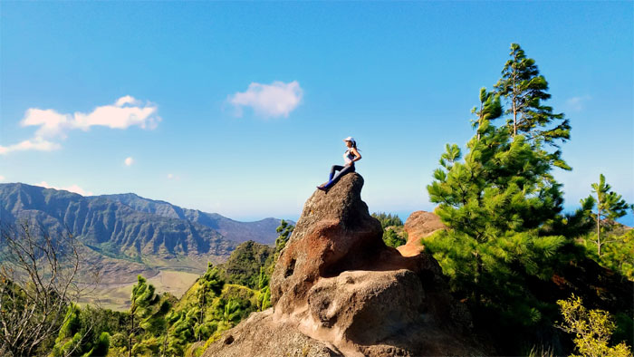
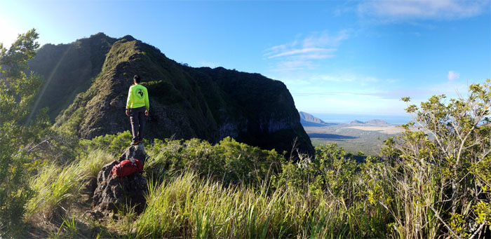
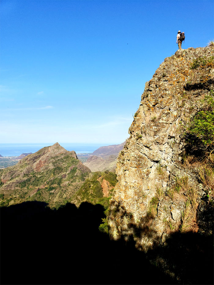
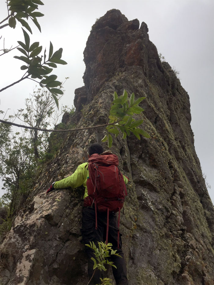
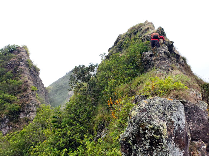
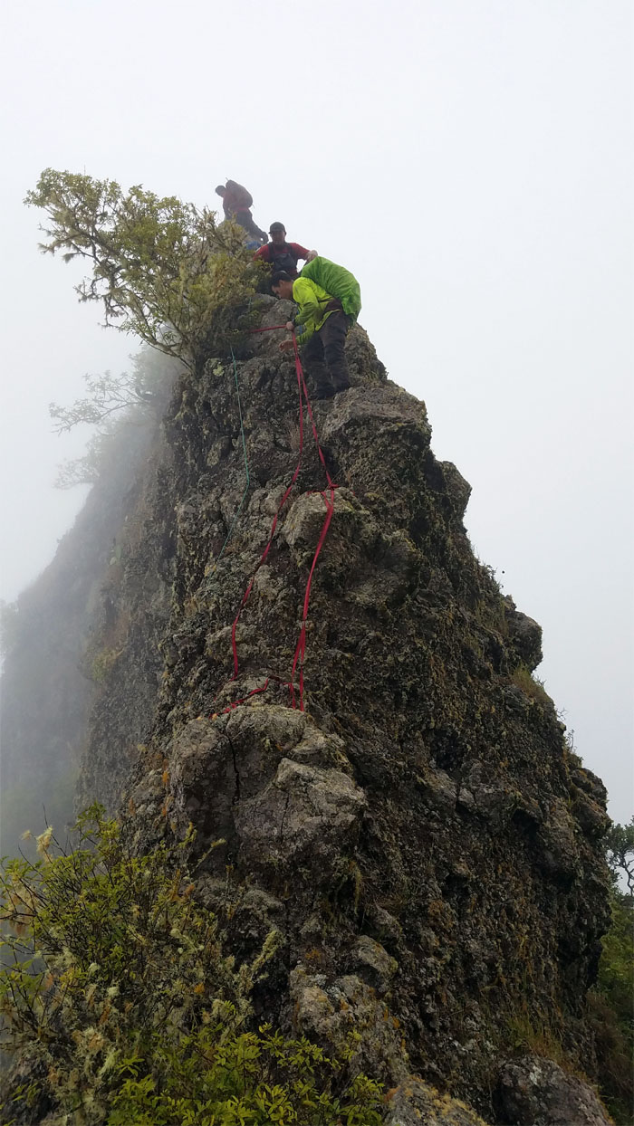
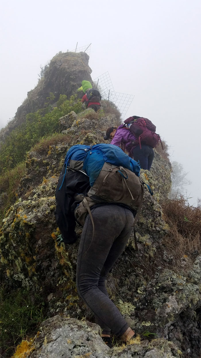
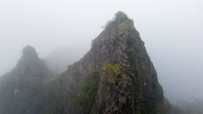
Shark Fin
We put our packs down for photoshoot #1.

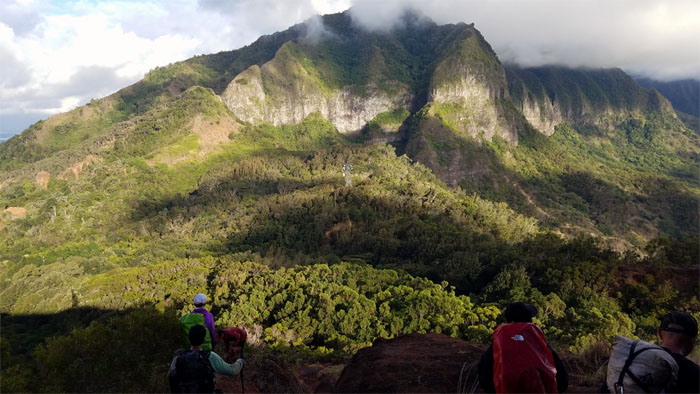
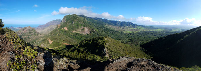
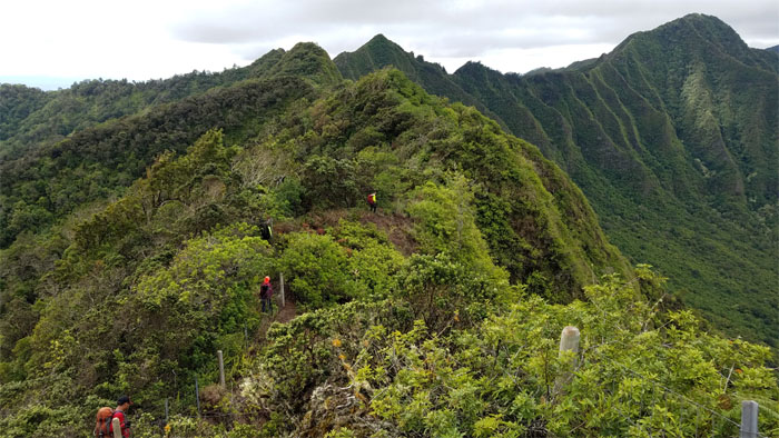
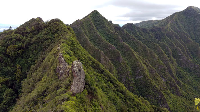
Kuaokala Forest Reserve
Looking across the tree topped ridge lines. Photo by Anne Fai
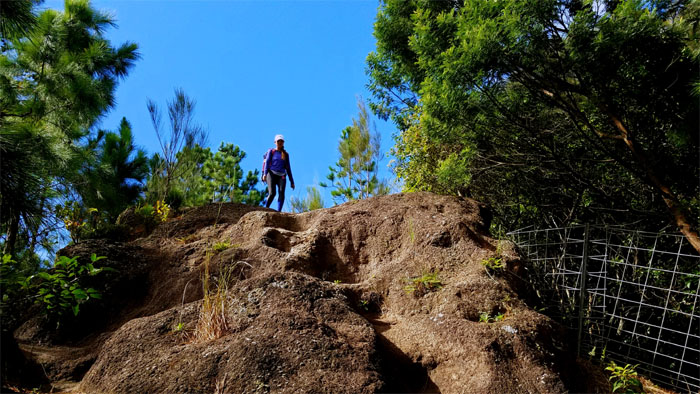
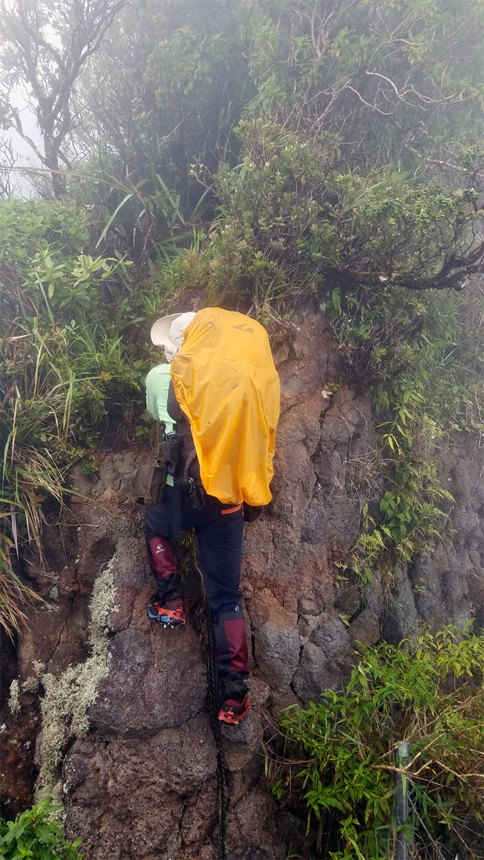
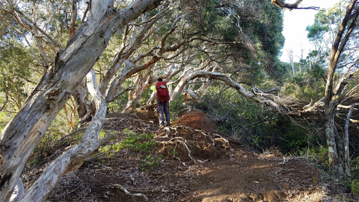
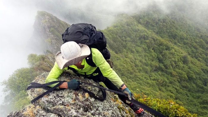
Kuaokala Trail
Stepping down the eroded rocky section.
Kuaokala Trail
Back on the jeep road, with a communications tower seen in the distance. We have four bars.
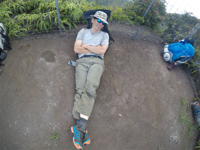
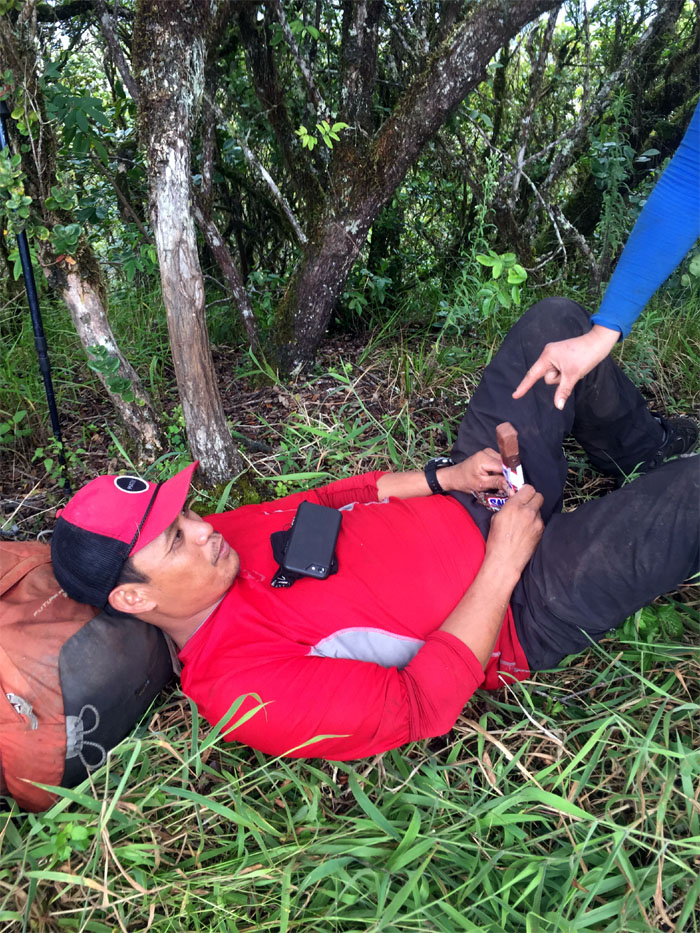
Kuaokala Trail
Chris taking a nap on the trail. We have four zzzz’s.
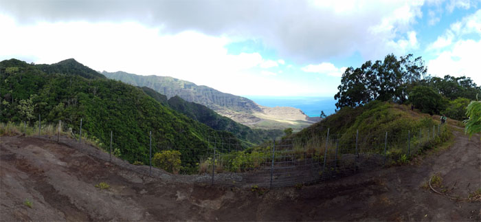
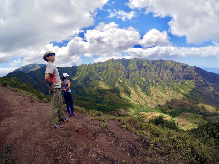
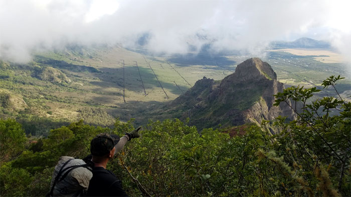
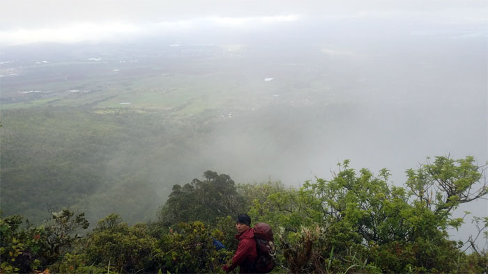
Makua Rim
Looking into the historic valley that has yet to be scrubbed free from her military scarring.
Pahole
Entering 685 acres of protected native fauna and flora.
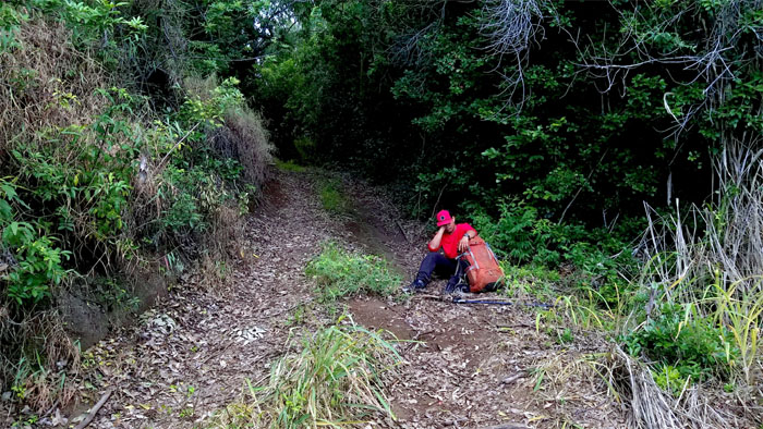
Not potable
Break time. Photo by Ferlino Carinio.
Makua Valley
Trying to get the synchronization down for photoshoot #2. Photo by Chris Bautista.
Waianae Summit Trail (WST)
Back to our regularly scheduled program of hiking.
Fruit Pickers
We came down the ridge hoping to pick some juicy Tangelos. Our stomachs were sorely disappointed.
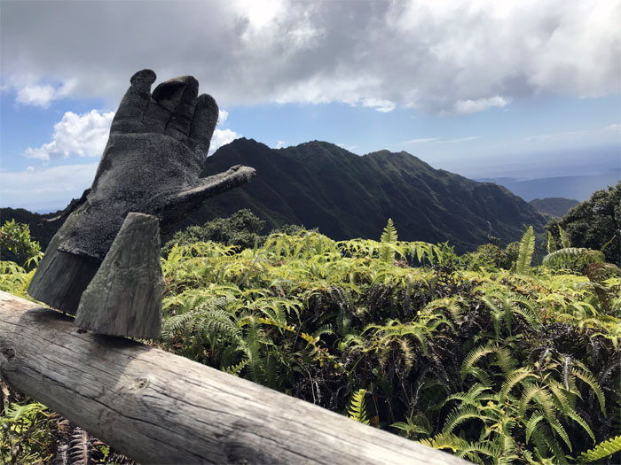
Da Glove
The KST has its boot and the WST has its glove. Photo by Cisco Quintanilla.
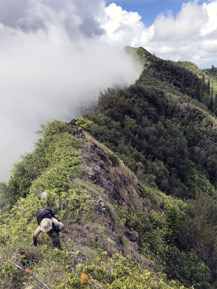
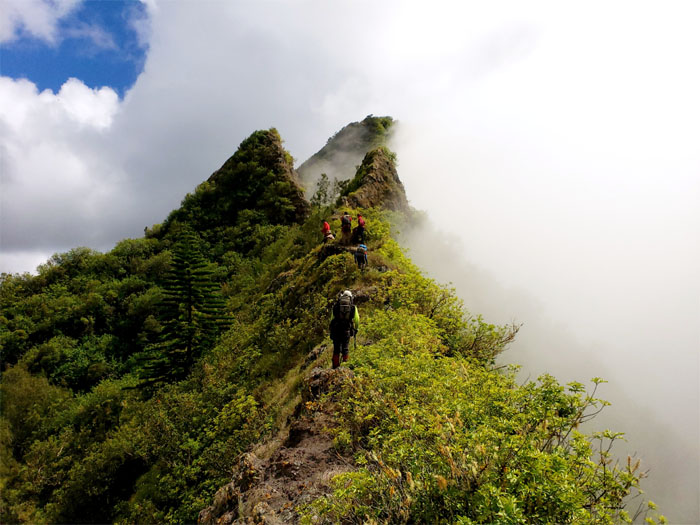
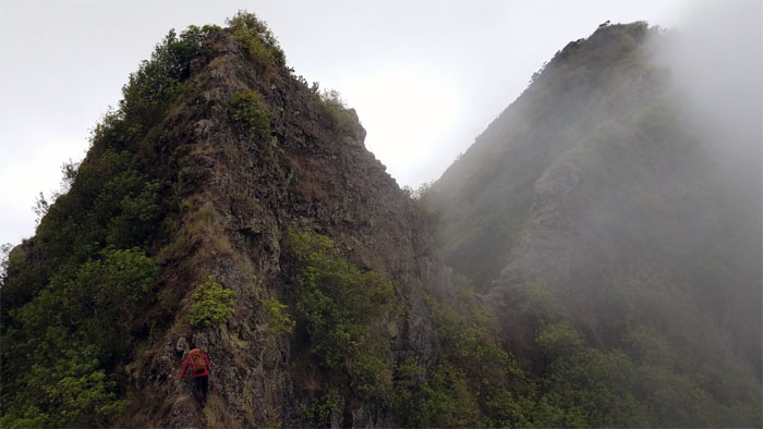
Three Corners
Time to go from vertical to …
Three Corners
… horizontal. Photo by Analyn Baliscao.
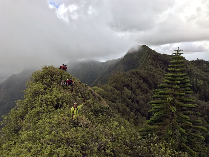
Three Corners
Lunch break with views. Some of us were too tired to take in the views. One was never too tired for photoshoot #3. Photo by Ferlino Carinio.
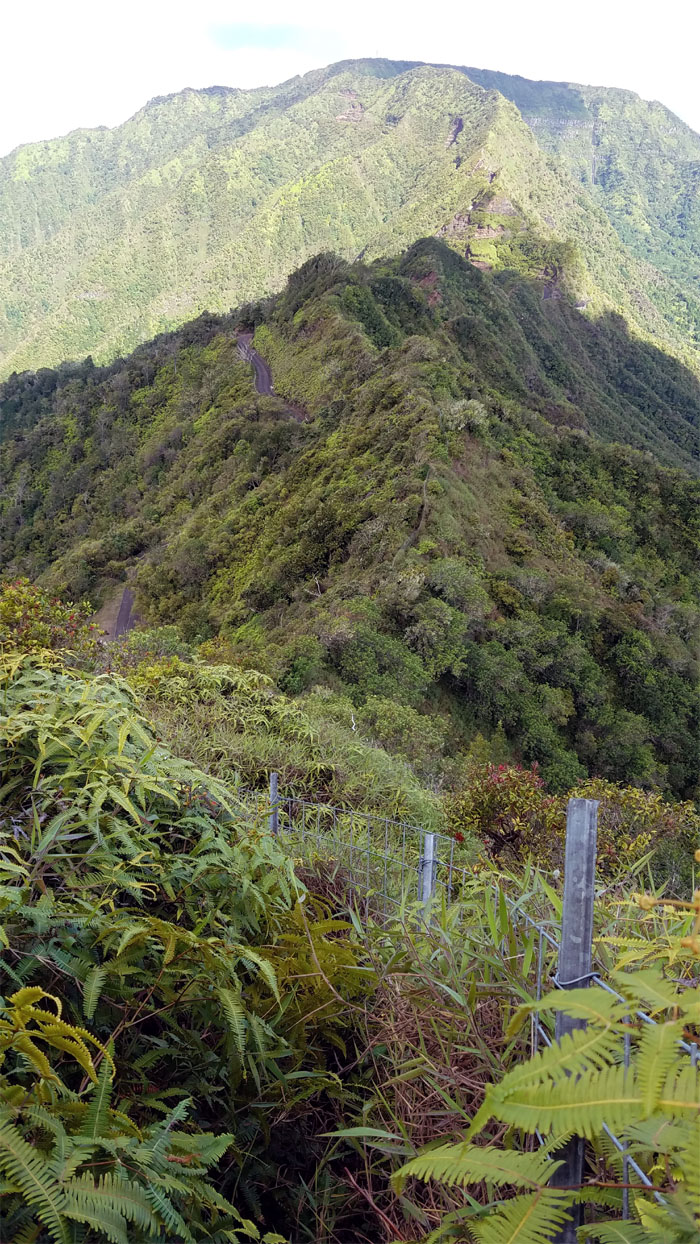
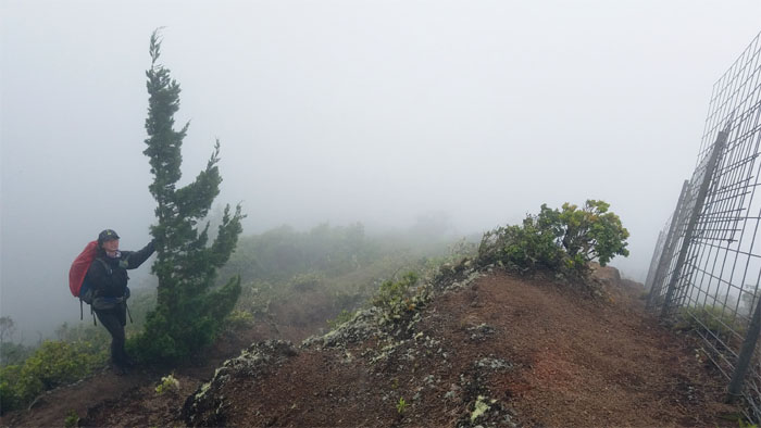
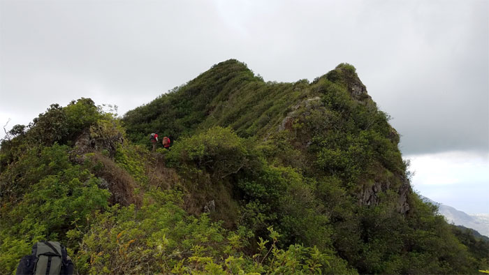
Ridge
Dropping down to the road that winds its way to the highest point on the island.
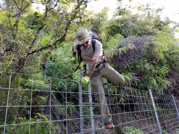
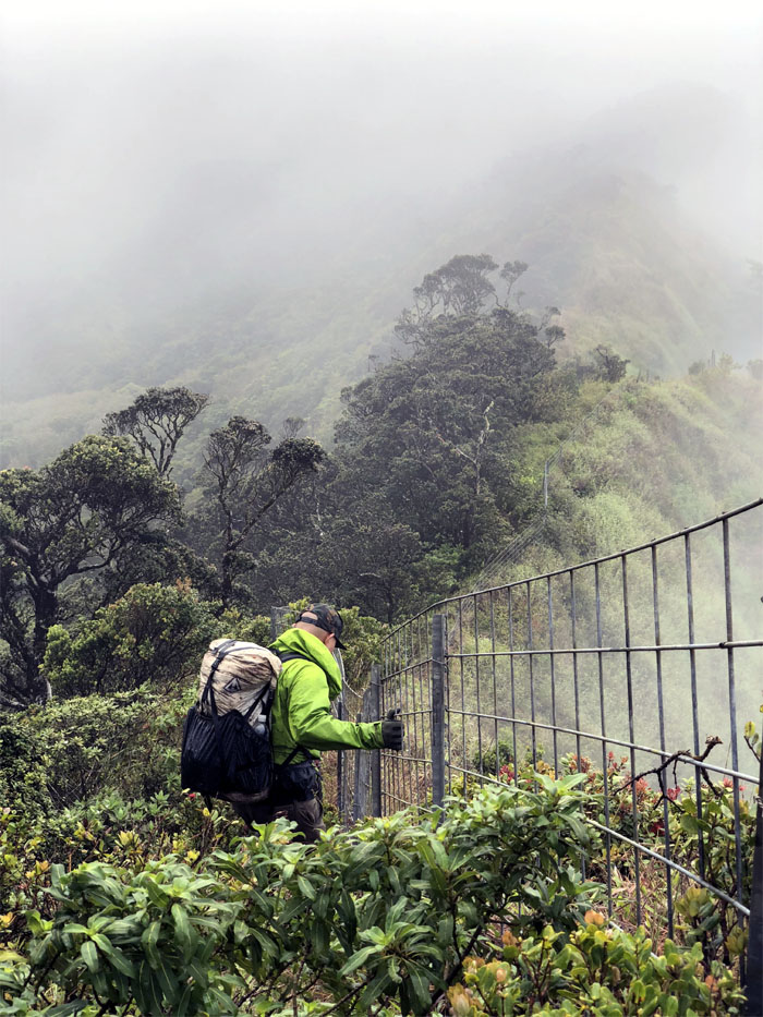
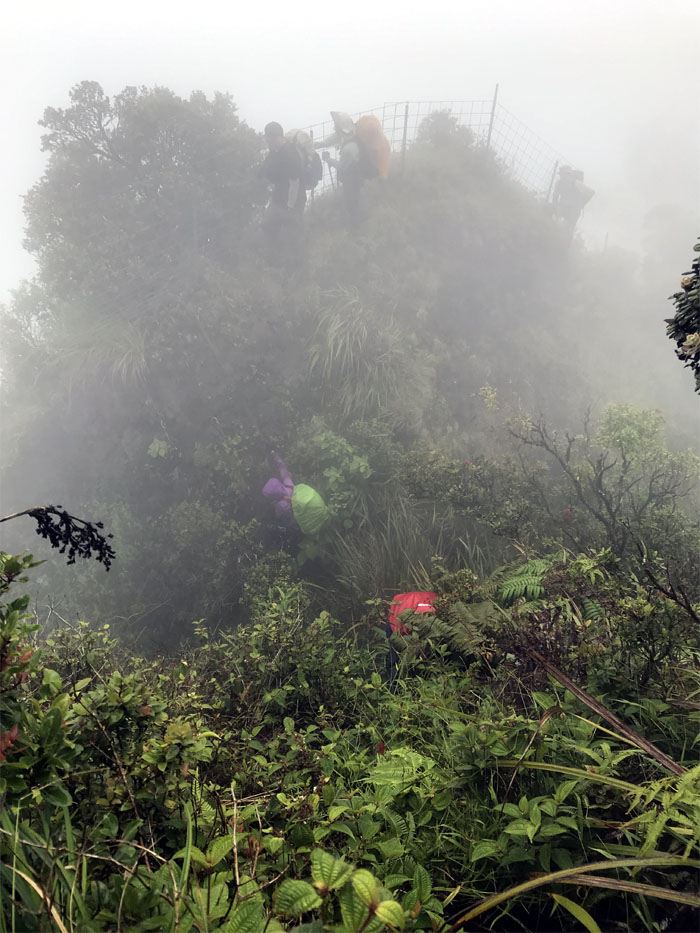
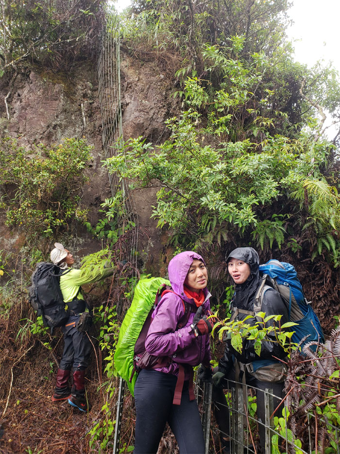
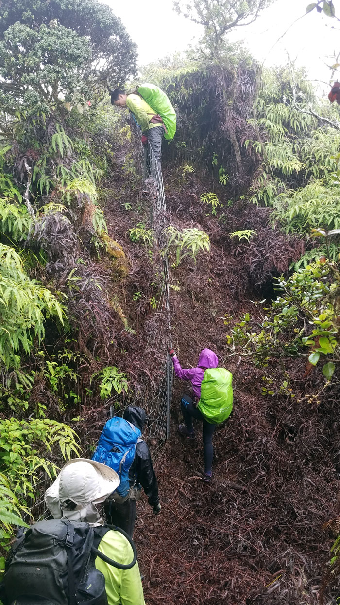
Fence
Swinging over the fence line. Photo by Ferlino Carinio.
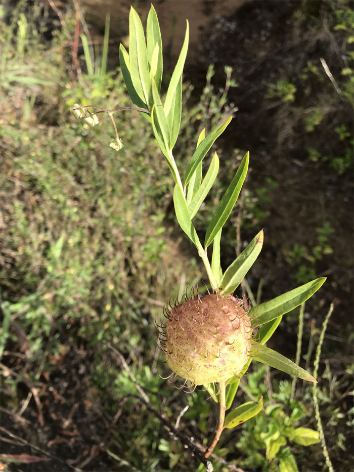
Hairy Ball
Singular, not plural. What happens when you don’t clear the fence. Photo by Chris Bautista
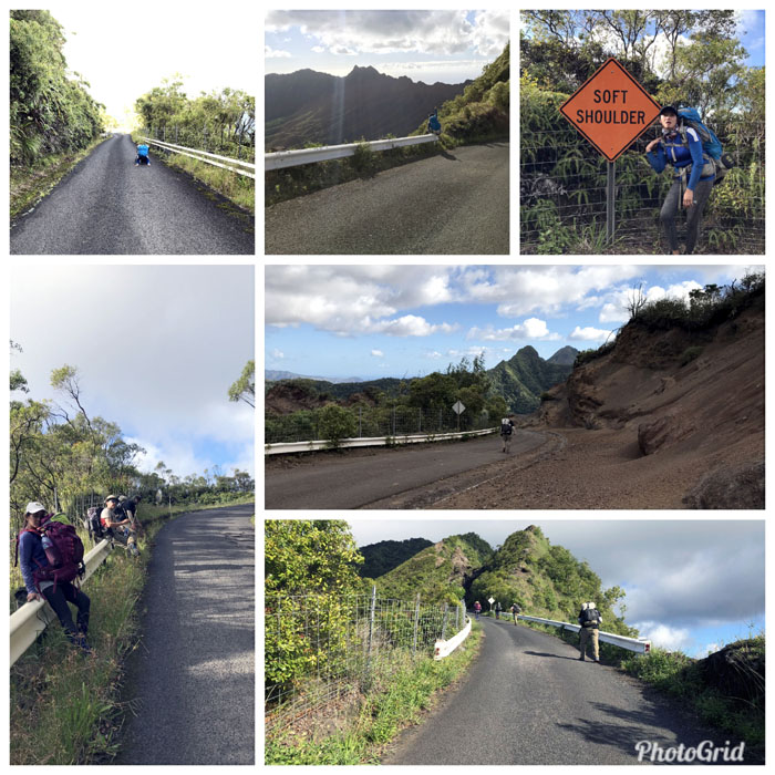
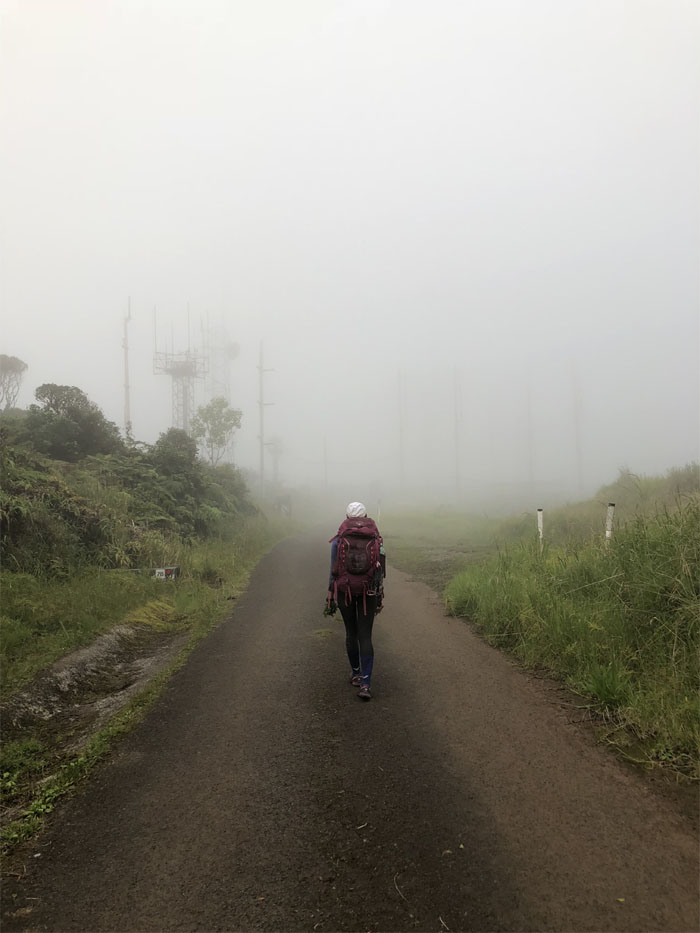
Road Trip
The road was extremely punishing this time around. Frequent breaks were the order of the day.
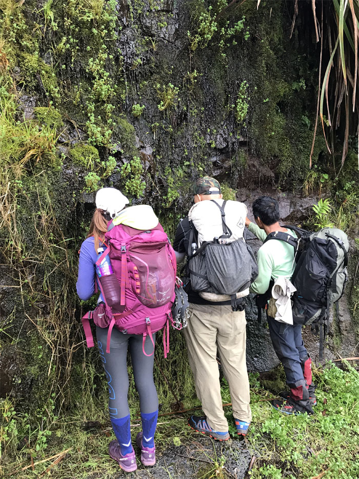
Weeping Wall
Free water. Just bring your own bottles. Filter optional, but highly recommended. Photo by Chris Bautista
#78
The end of the very long road.
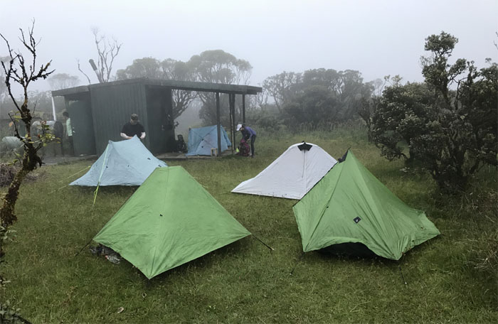
Mount Ka’ala
Setting up camp at the highest point on the island. Photo by Chris Bautista.
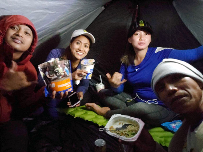
Mount Ka’ala
Communal dining while Cisco and I snored the night away. Photo by Ferlino Carinio.
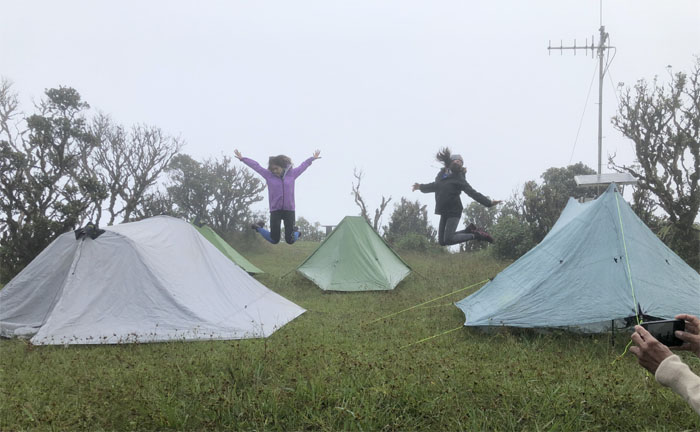
Mount Ka’ala
Jumping for air at our 4,025′ camp spot. Our morning departure was slightly delayed by photoshoot #4. Photo by Chris Bautista
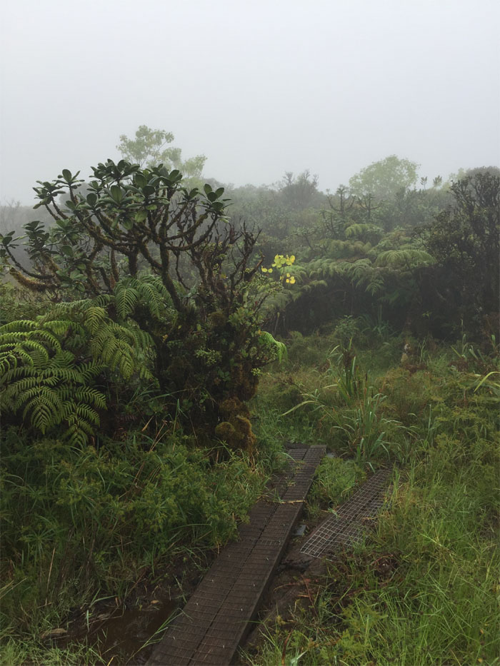
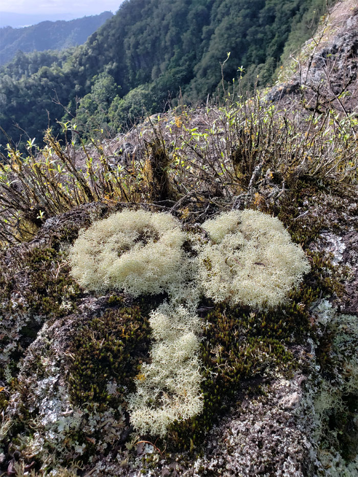
Ka’ala Bog
Stepping foot onto the boardwalk that winds it way through 1,100 acres of moss covered trees and native plants.
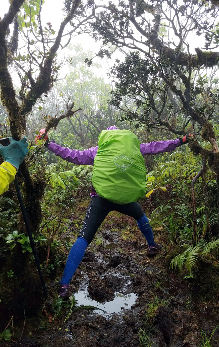
Ka’ala Bog
One can’t escape the mud in here, it’s inevitable.
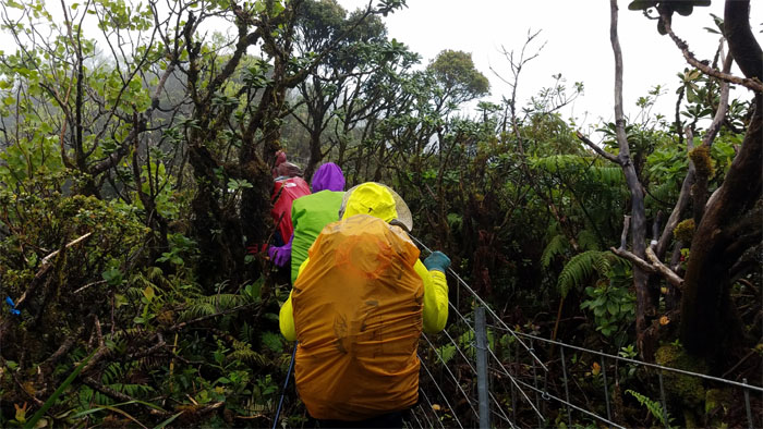
Ka’ala Bog
One can’t seem to escape the fence line as well.
WST
Leaving the bog and heading down the muddy ridge.

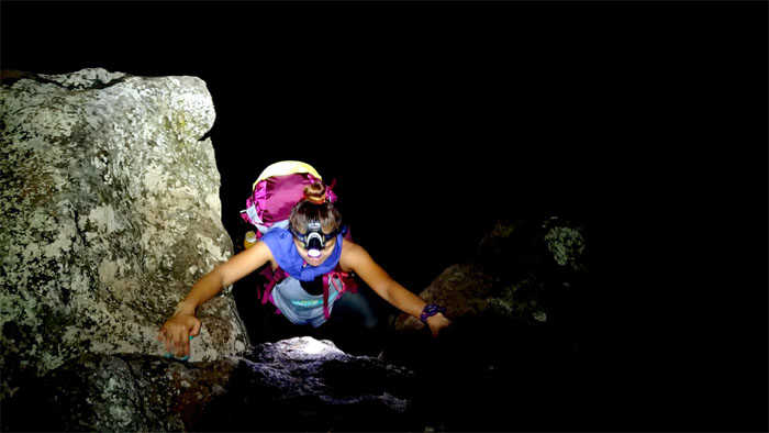
Boulders
Slipping my way down the rocks. Photo by Chris Bautista
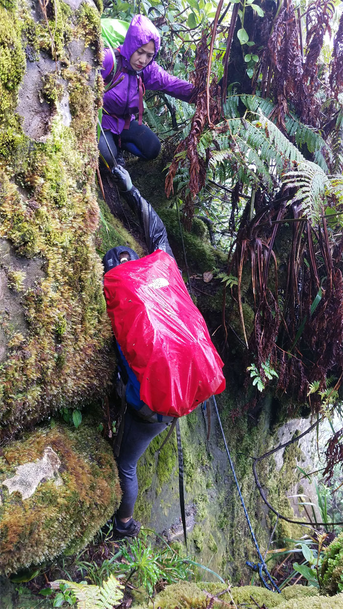
Boulders
Study in concentration. Hand there. Foot there.
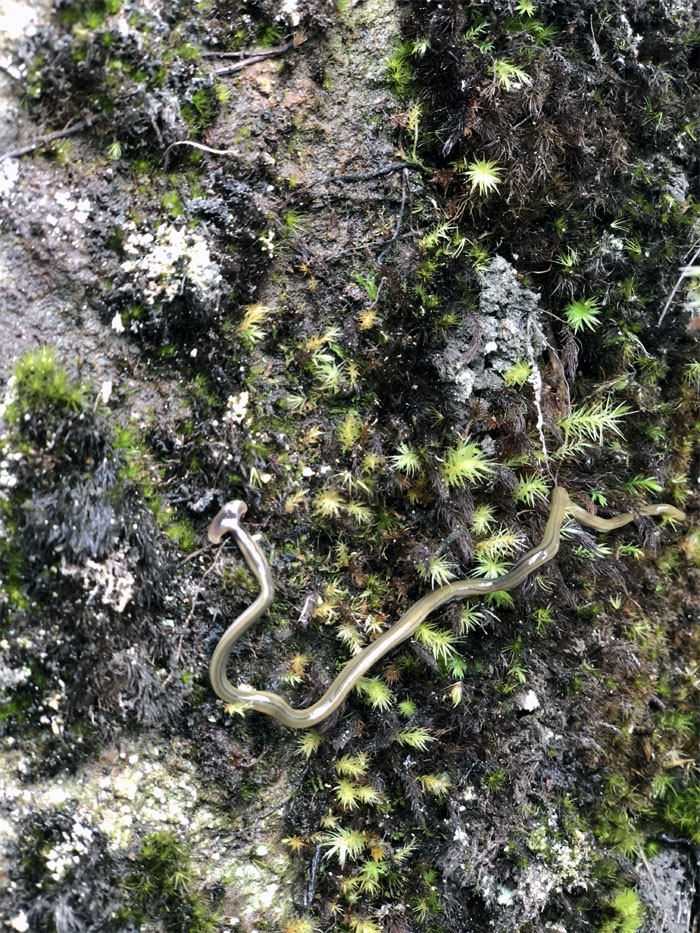
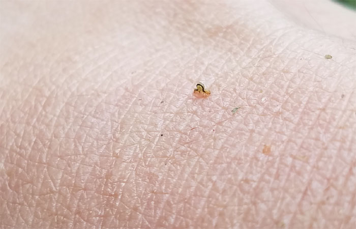
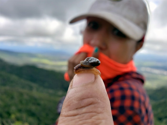
Hammerhead Worm
“Landshark” bipalium searching for its prey. Photo by Anne Fai
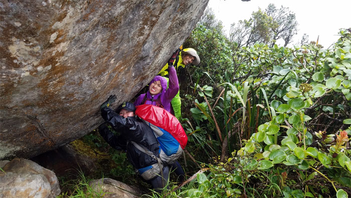
Boulder
Put your backs into it and tell the photobomber to pitch in as well.
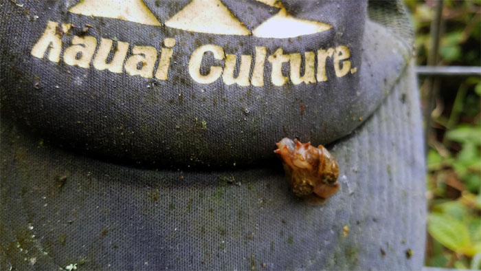
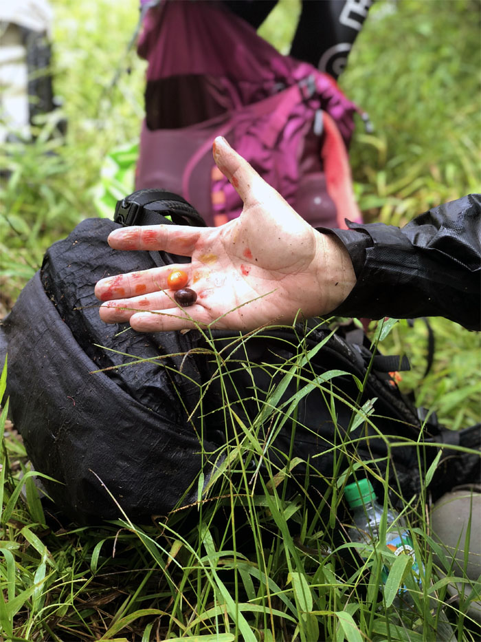
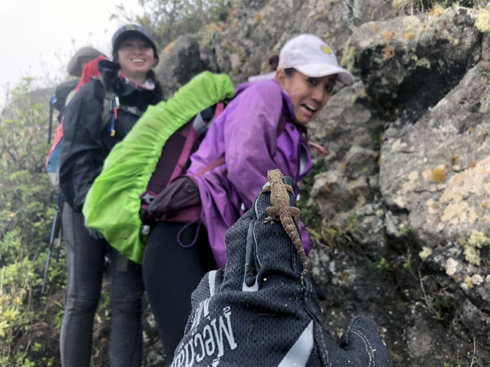
Get a shell
What? Take a picture, it’ll last longer.
WST
Back on the fence line. Photo by Anne Fai
Hobbs Junction
Melts in your mouth, not in your hands. I think its the other way around. Photo by Anne Fai
Trail hazard
The attack of the terrifying inch worm with its looping gait. Pull out the magnifying glasses for this one and use your earplugs.
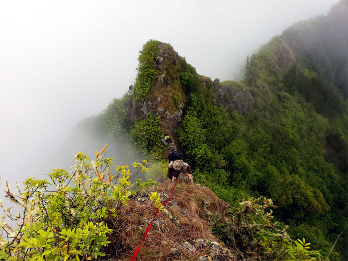
WST
Climbing in and out of the gap. Photo by Chris Bautista
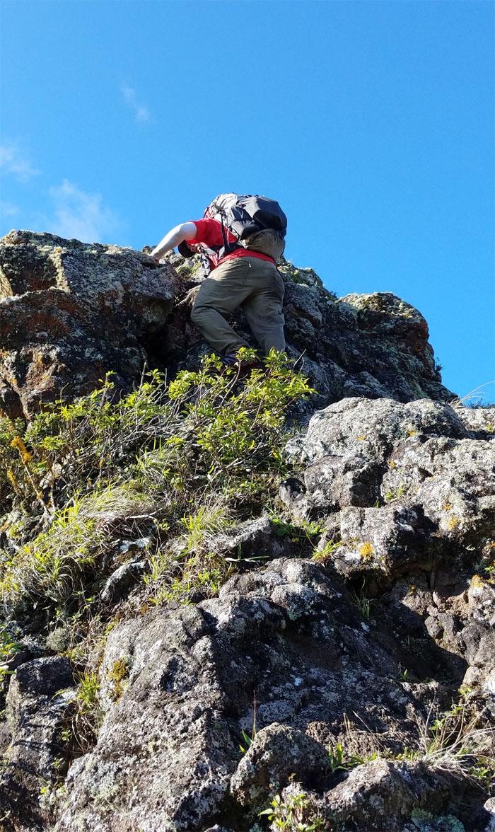
WST
Ferlino climbing up a short and steep rocky section.

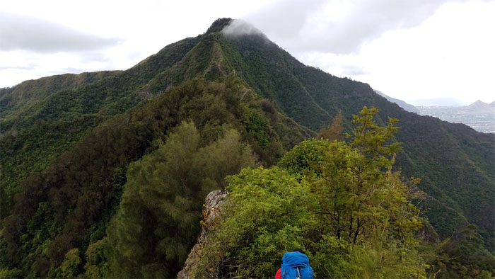
Pu’u Kalena
Heavenly, as in the clouds, views at the second highest peak in the island. Photo by Ferlino Carinio
WST
We left the 3,504′ summit to go down the overgrown ridge that soon yielded to eroded patches of ridge line populated with pine trees.
WST
The smell of garlic shrimp seemed to be coming up from the valley or was it simply the collective stink of the group?
WST
We finally got a view. Better late than never. Photo by Analyn Baliscao.

Mountain views
Mount Ka’ala and Pu’u Kalena also cleared up for our viewing pleasures.
WST
We wrapped up photoshoot #5 and went down the spur ridge.
Scareface
Say hello to my little friend. Photo by Chris Bautista
WST
Going up the dike and … Photo by Analyn Baliscao
WST
… coming down from the dike. Photo by Analyn Baliscao
WST
We left the ridge and headed down towards the manmade pass that was blasted out of the mountains in the mid-1930s.
Pu’u Ka’ilio
Cisco looking at the crumbly pile of rocks that makes up the forbidden mountain.
WST
Watching the clouds lazily drift across the mountainous landscape as we made our way down.
Kolekole
Sliding our way down the raw and red terrain that lives up to its name. Photo by Ferlino Carinio
GI Joe
The lone surviving toy soldier. There could be other survivors out there.
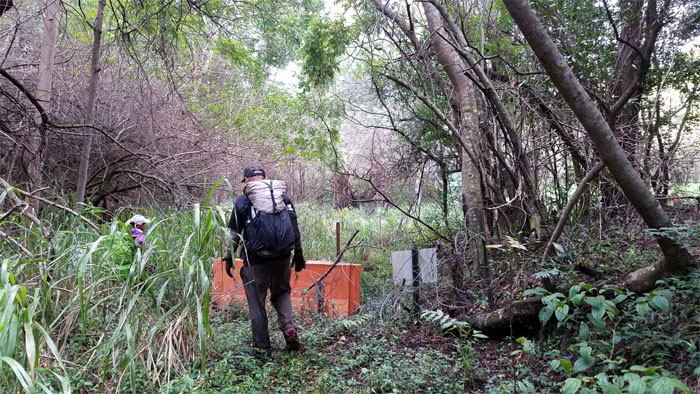
Exit
We could smell the fried chicken and hear the carbonated soda fizzing or was I just hallucinating?
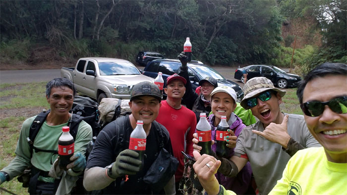
Kolekole Pass
Enjoying ice cold soda at the lowest point in the Waianae Mountains. Shout out to Matt for bringing us the refreshing beverages and Louisiana chicken.
Kolekole Pass
I guess red beans and rice can be explosive.
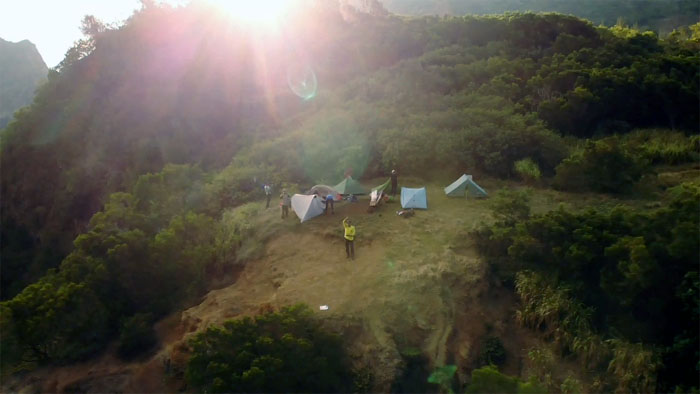
Kolekole Pass
Setting up camp and preparing for photoshoot #6. Drone photo by Matt Vidaurri
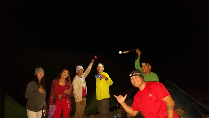
Camp Kolekole
All the greatest American and Filipino hits were being sung tonight.
Camp Kolekole
The karaoke gang migrated to somebody’s tent to have her join in, but she was busy washing herself with the extra water.
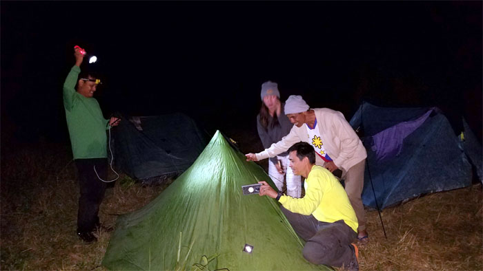
Camp Kolekole
Our morning departure was once again slightly delayed by photoshoot #7.
WST
Heading up the densely packed tree lined trail.
Nature recycling
Going up the corridor of paperbark trees.
WST
Matt at the top of the trail before it dips back down into the notches.
WST
Taking in the views. Photo by Matt Vidaurri
WST
Looking back at the West side. The best side.
WST
Cisco climbing out of the notches.
Rorshach Test
Mother Nature has a good sense of humor or some peoples minds are in the gutter. Photo by Matt Vidaurri
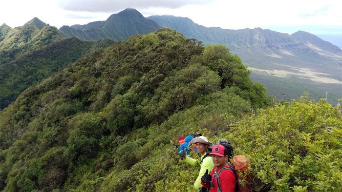
WST
Cisco and Matt on their way to the summit of Hapapa.

WST
This spider web was not even catching the dew drops, let alone any appetizing bugs. Location, location, location. Photo by Matt Vidaurri
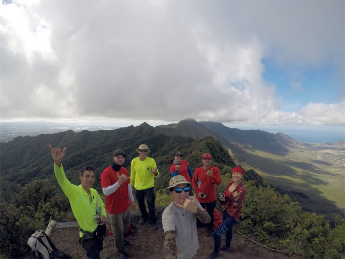
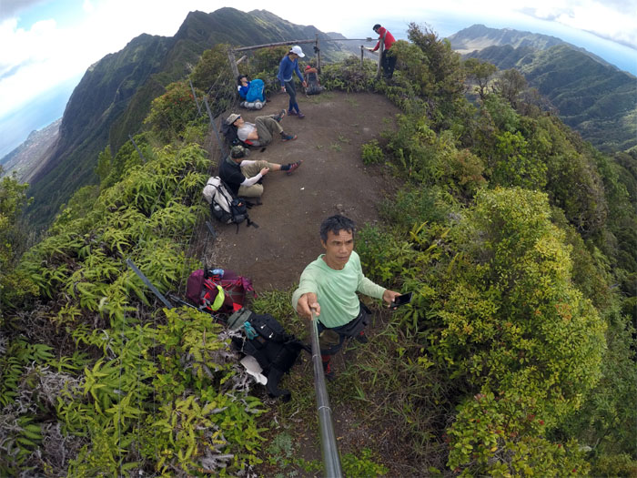
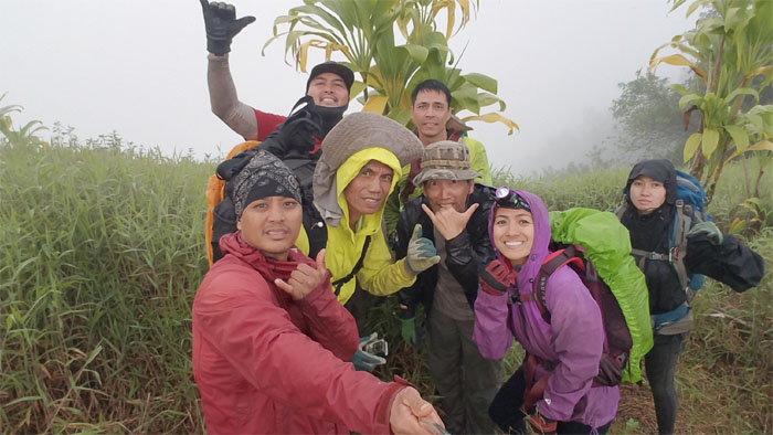
Pu’u Hapapa
Group photo at the squared 2,883′ summit left to right: Ferlino, Cisco, Matt, myself, Anne, Chris and Analyn. We sat down for photoshoot #8.
WST
Leaving the fifth highest peak on the West side.
WST
Following the fence line through the ridge line.
Bon Appetit
Finger food. It goes down slowly. Photo by Matt Vidaurri
WST
Making our way down to the rock edifice that dominates and straddles the ridge line.
WST
Climb or contour? Photo by Cisco Quintanilla
WST
Protruding rocks provided temporary relief from the cloying overgrowth.
Pu’u Kanehoa
Time to fly the drone again for the last time and our final photoshoot of the hike.
WST
Headed towards the most overgrown section of the WST.
Nobody better lay a finger on my butterfinger. Oh, wrong candy bar.
It was still hard, even after three days. Somebody should go see a doctor. Photo by Cisco Quintanilla.
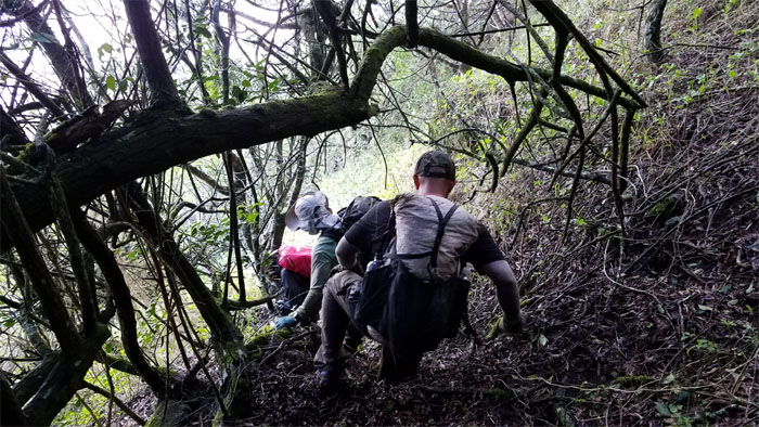
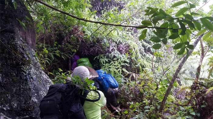
WST
Bushwhacking our way through overgrowth …
WST
… upon more overgrowth. Photo by Matt Vidaurri
WST
Climbing out of the overgrowth as the clouds started to roll in towards the mountains. Photo by Chris Bautista
Gorilla Heads
Making our way to the two obstacles known as Gorilla Heads or Kryangles. Photo by Matt Vidaurri
Gorilla Heads
O Christmas Tree. 113 days left. Photo by Chris Bautista
Gorilla Heads
Chris going up the little head. Photo by Matt Vidaurri
Gorilla Heads
Cisco at the top. Photo by Matt Vidaurri
Gorilla Heads
Chris dislodged a couple loose rocks climbing his way up the big head.
Gorilla Heads
The grey clouds started to dislodge rain upon us as made our way up.
Gorilla Heads
Ferlino bringing up the webbing on his way up.
Gorilla Heads
Matt climbing his way down the backside.
WST
Climbing our way up to the interrupted fence line.
Gorilla Heads
Looking back at the rain showers sweeping the Waianae Mountains.
WST
Matt muscled his way up the slick section of rocks and threw webbing down for the rest of us.
WST
Slippery when mossy.
WST
Contouring our way through the overgrowth as we avoided …
WST
… the old vertical fence trail. Photo by Matt Vidaurri
WST
Climbing up the near vertical fence as it cut a swatch through the tangled mess of uluhe ferns.
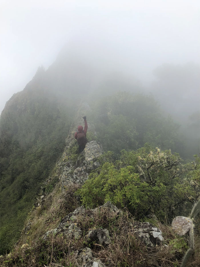
Pu’u Kaua
Time and weather were not on our side, so we made the difficult decision to descend from the 3,127′ summit.
Trail
Leaving the third highest peak on the island.
Trail
Clouds clearing over agricultural lands that are slowly being developed into farm lots, off-grid and often unregulated housing.
Trail
I should have brought my cardboard box, or at the very least my spikes. Photo by Anne Fai
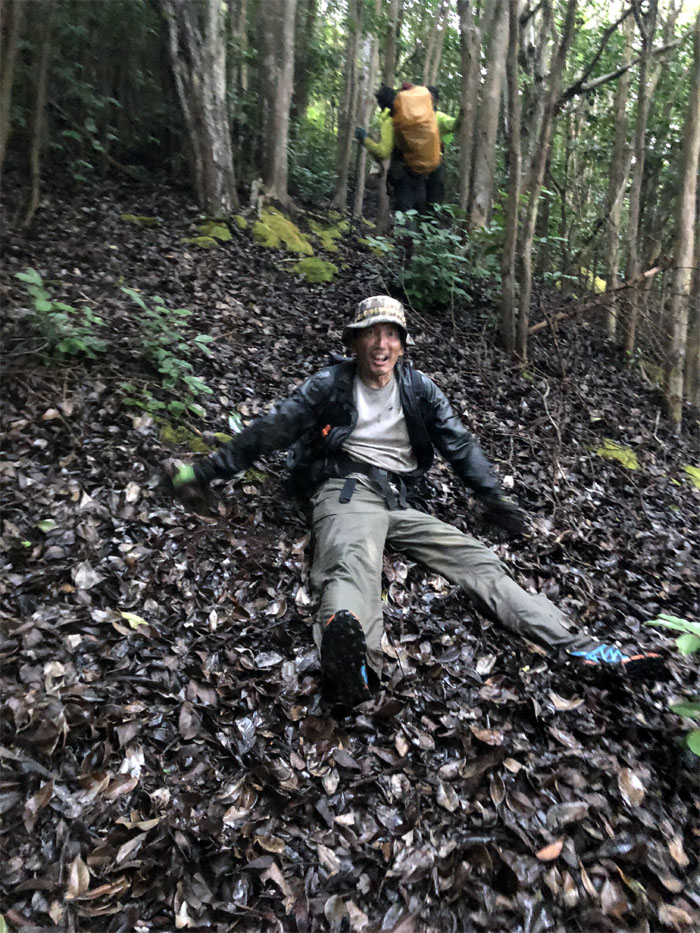
Trail
Chris riding the timber log ride at Kunia’s Berry Farms.
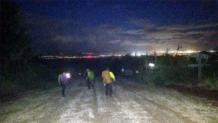
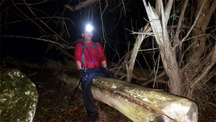
Kunia
Dimming the lights as we walked down the road past the slowly growing trailer village filled with a chorus of barking dogs.

All pau
Our 26 mile three-day hike that was filled with laughs, great views and good company; came to an abbreviated end in the farmlands of Kunia. Thanks to Lee for picking us up and bringing chilled Coca-Cola. Post hike meal at Zippy’s. You can’t go wrong with oxtail soup, unless it’s too expensive and then you fall back to the Zip Mein.
Note: I have been made aware that some hikers have been using my blog as a hiking guide and getting lost on the trails. Please note that this blog was made to document the hike for the crew(s) that did it. That is why some of my comments will seem to have no relevance or meaning to anybody outside of the crew(s) that hiked that trail. My blog was never meant as a hiking guide, so please do not treat it as such. If you find inspiration and entertainment from these hikes, that is more than enough. If you plan on replicating these hikes, do so in the knowledge that you should do your own research accordingly as trail conditions, access, legalities and so forth are constantly in flux. What was current today is most likely yesterdays news. Please be prepared to accept any risks and responsibilities on your own as you should know your own limitations, experience and abilities before you even set foot on a trail, as even the “simplest” or “easiest” of trails can present potential pitfalls for even the most “experienced” hikers.
{ 0 comments… add one now }