

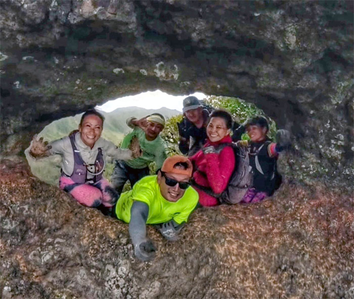
The sun peeked out long enough for us to return back to the mountains today.
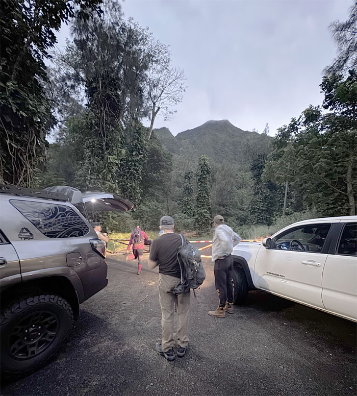
Likelike Highway
Mahalo to Edgar and Erik for dropping our group off on the side of the highway that was completed in 1960.
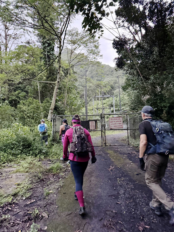
Powerlines Trail
Walking up the service road and skirting the HECO substation as we ascended towards the saddle.
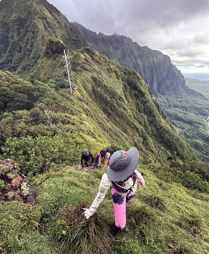
Kalihi Saddle
A stiff wind met us on the ridge line, it would stay with us for the rest of the day. No sweating today.
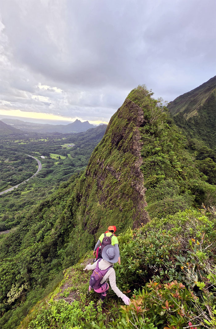
Kalihi Saddle
Making our way towards the first obstacle of the day, “Shark Fin.”
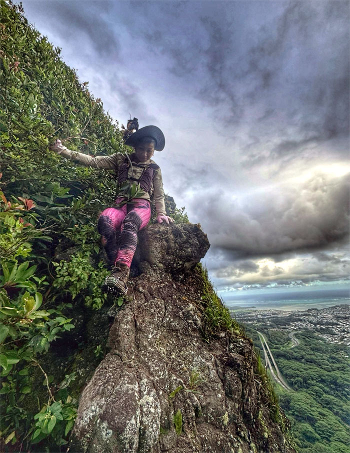
Kalihi Saddle
Penny making her way down the steep cliffs bordered with shrubs on one one side and vertical drops on the other.
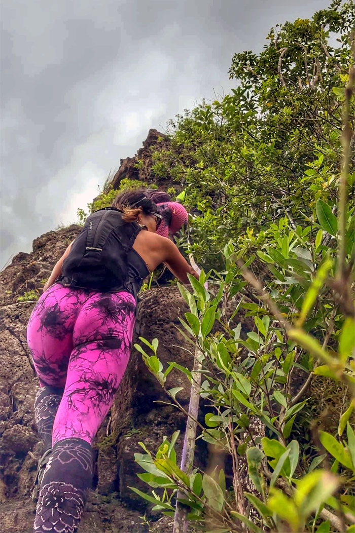
Shark Fin
Scrambling up the steep dorsal shaped rock obstacle, anybody hungry for Chinese food?
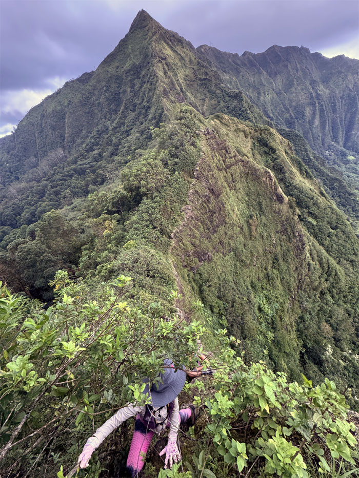
Shark Fin
Looking back towards the Bowman side and points beyond.
Kalihi Saddle
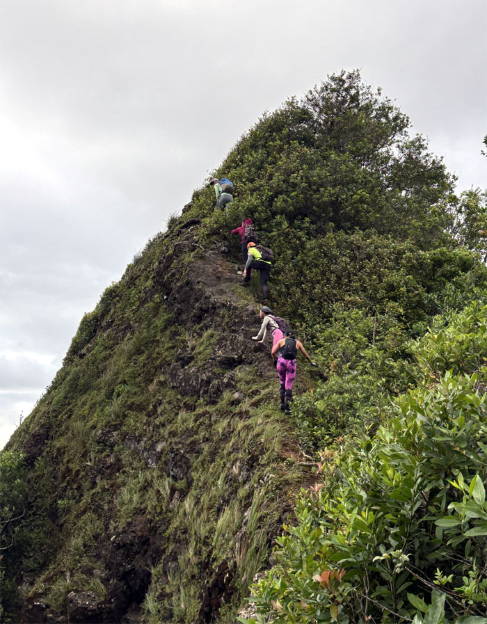
Climbing up another hump on the ridge line.
Kalihi Saddle
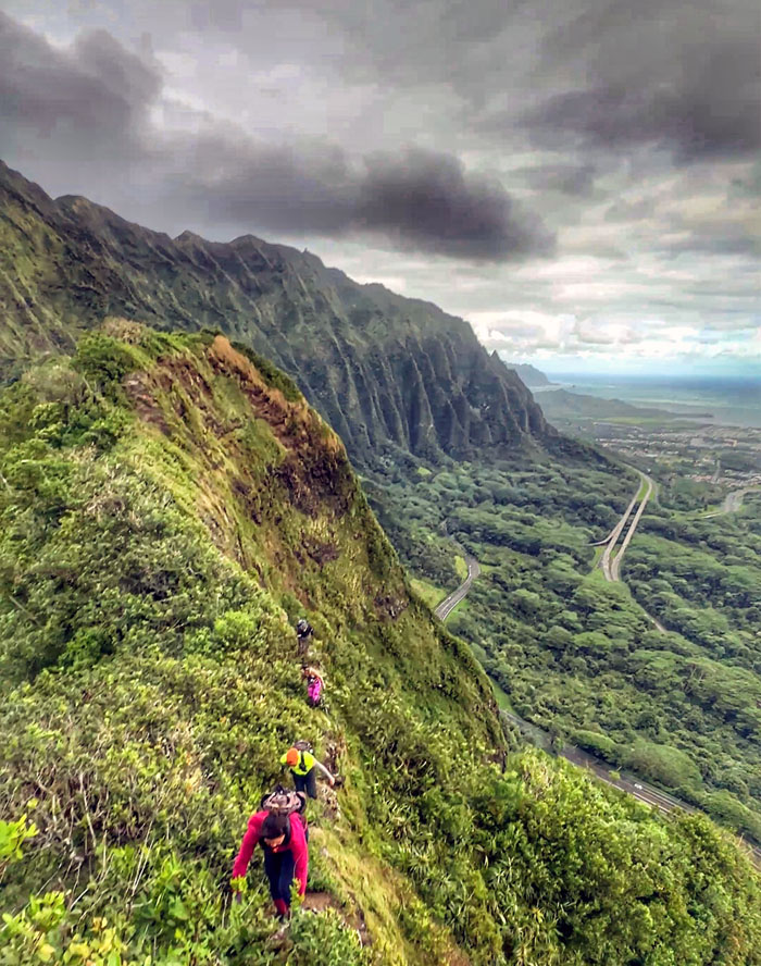
No room to pass on this trail.
Kalihi Saddle
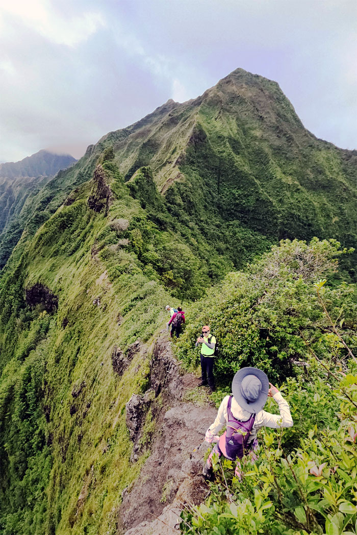
Looking ahead to the twin “Bunny Ears” on the ridge line.
Kalihi Saddle
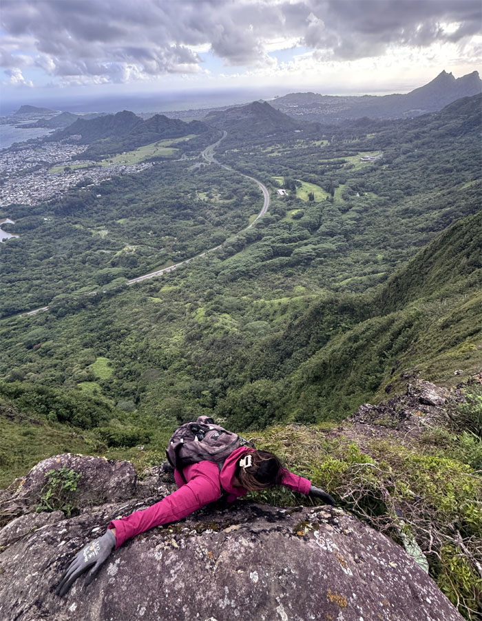
Marilyn searching for her handholds.
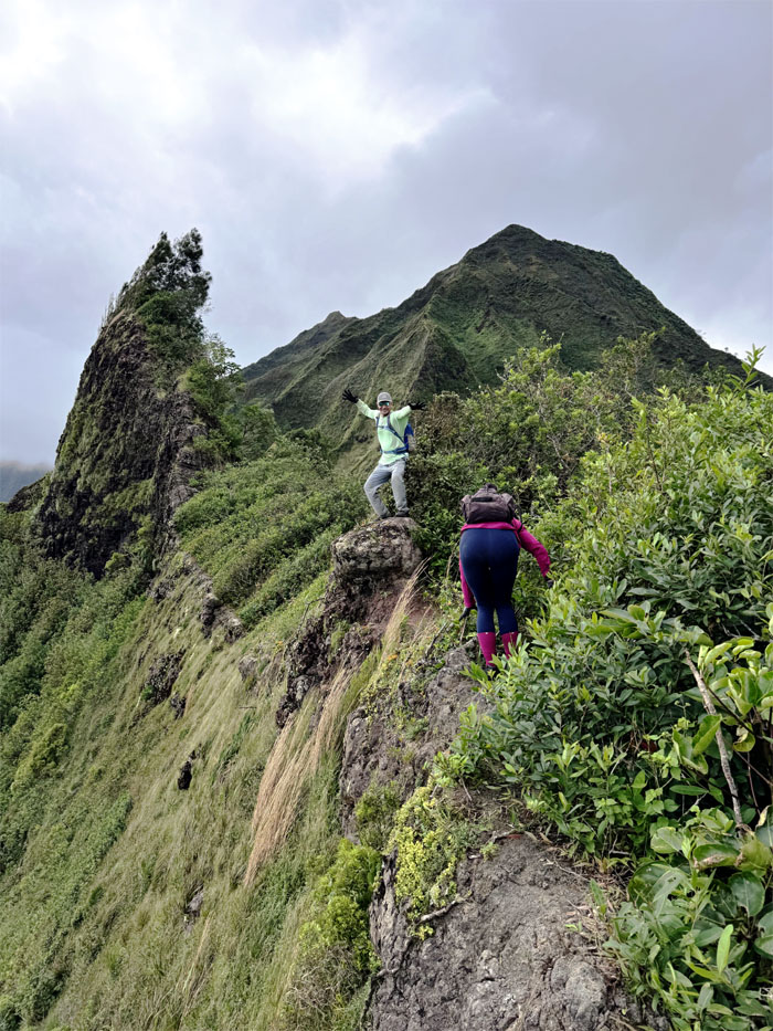
Kalihi Saddle
Akira on the mushroom rock. Is that a psychedelic mushroom?
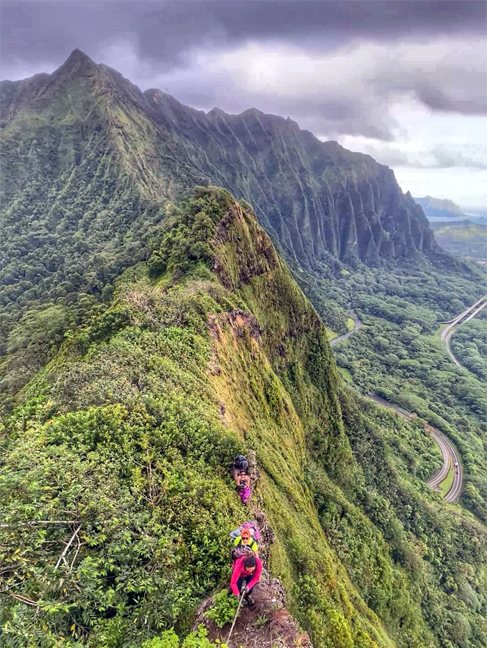
Bunny Ears
Marilyn climbing up while sparingly using the weathered rope that has been on this hike for who knows how long. Never assume that it will hold your weight or others.
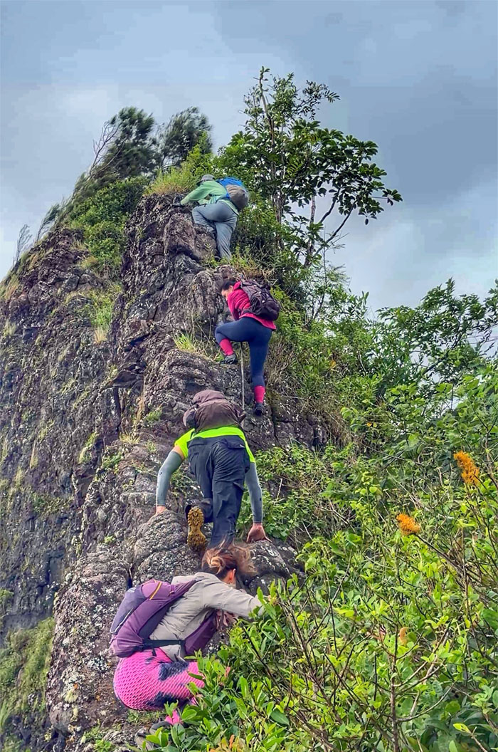
Bunny Ears
The group mindful of the brittle and falling rocks that are constantly changing the character of the ridge line.
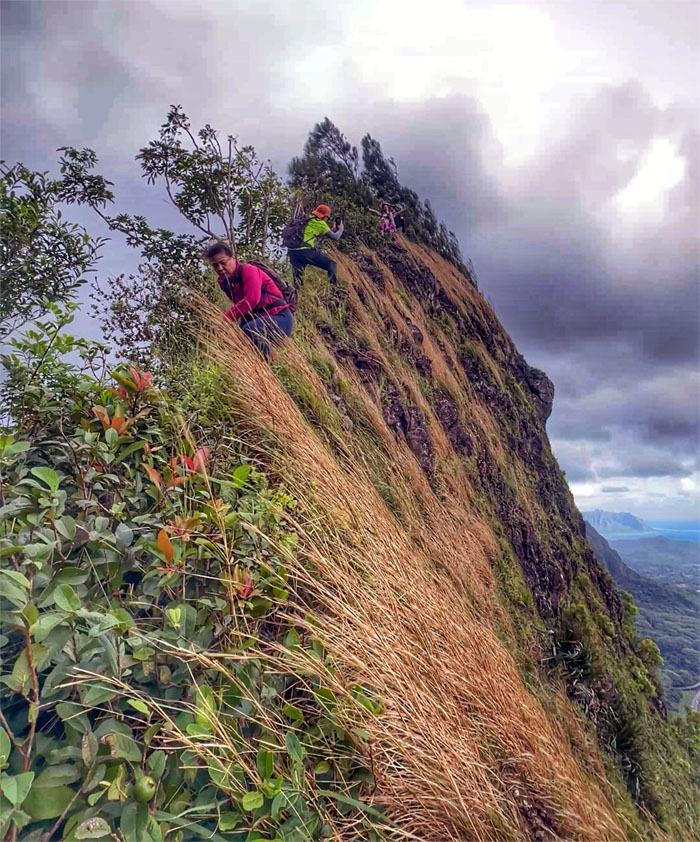
Bunny Ears
Scooting our way down the grass feathered side.
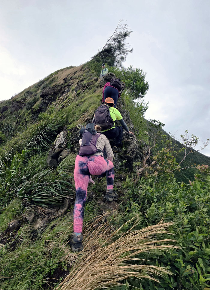
Bunny Ears
Climbing towards the stand of pine trees that have made their home on both obstacle peaks.
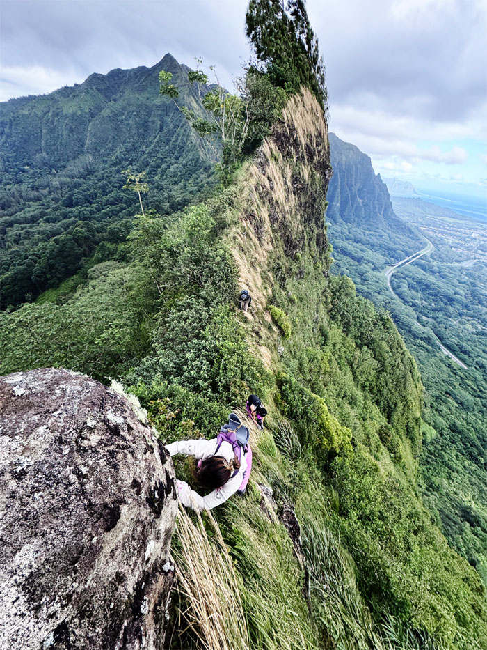
Bunny Ears
Penny traversing between the twin rock formations.
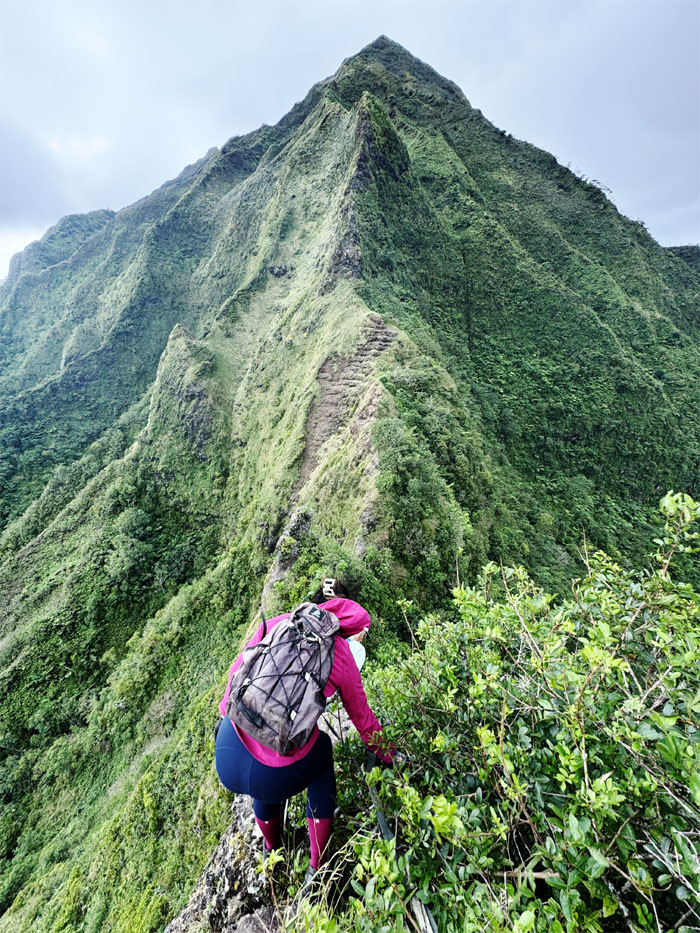
Doorstop
Marilyn making her way to the 40’+/- drop that awaits her at the edge.
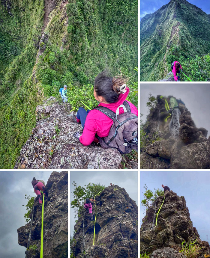
Doorstop
We all took turns climbing down the rockface that seems to be missing a rock(s) every time that I pay a visit.
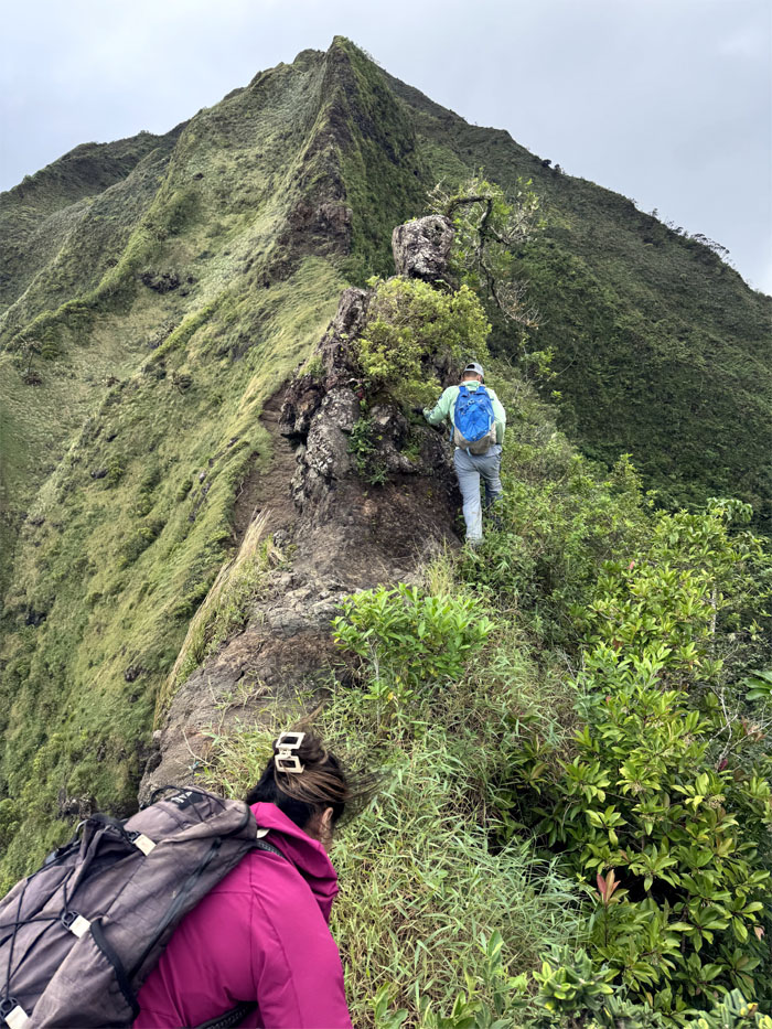
Pimple
Contouring our way around the spit of a rock. No popping the pimple today, as the winds were quite blustery.
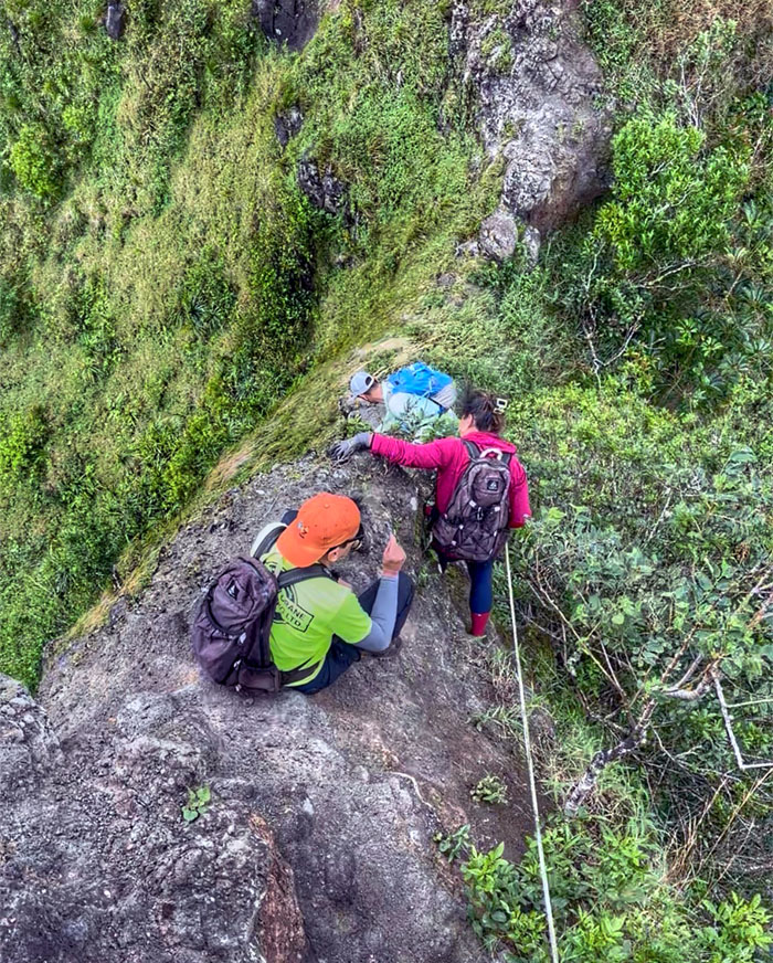
Pimple
Haste makes waste aptly applies in this situation as I was climbing down the direct route instead of contouring like everybody else, when a rock broke off and fell a couple feet on my narrow behind. Luckily I did not roll off the rock formation and only suffered a sprained finger. Patience, grasshopper.
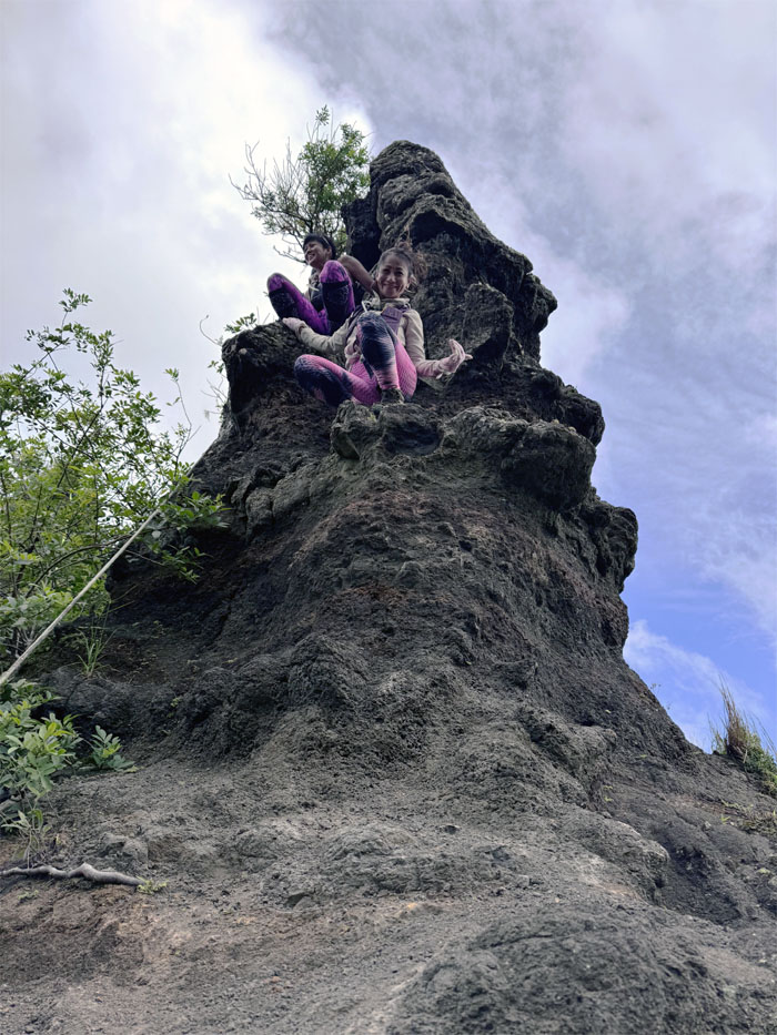
Pimple
The rest of the group making their way down.
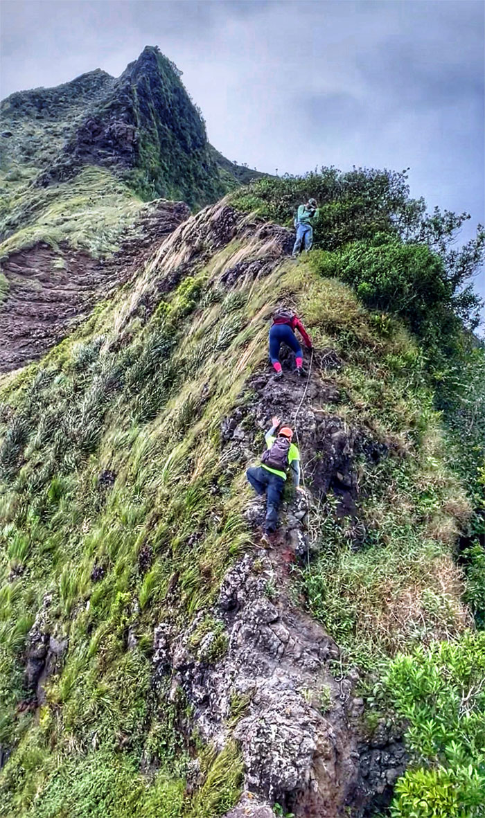
Kalihi Saddle
Climbing our way up the eroded section to an even more eroded section.
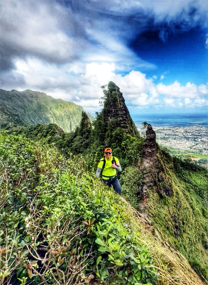
Kalihi Saddle
Based on the frequency, this saddle is my favorite hike, by far.
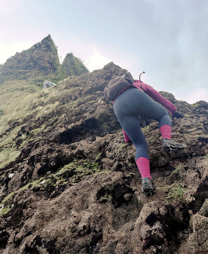
Kalihi Saddle
Making our way up as we passed layers and layers of erosion.
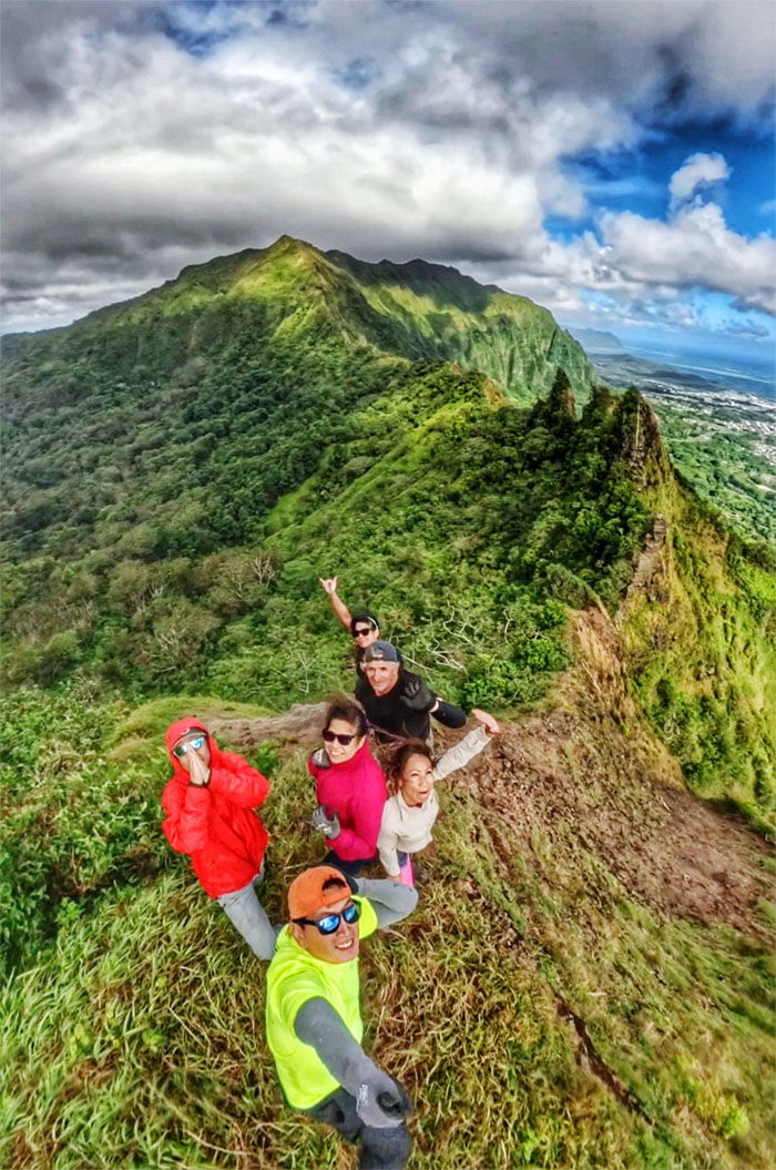
Can Opener
Group photo with most of Kalihi Saddle in the background.
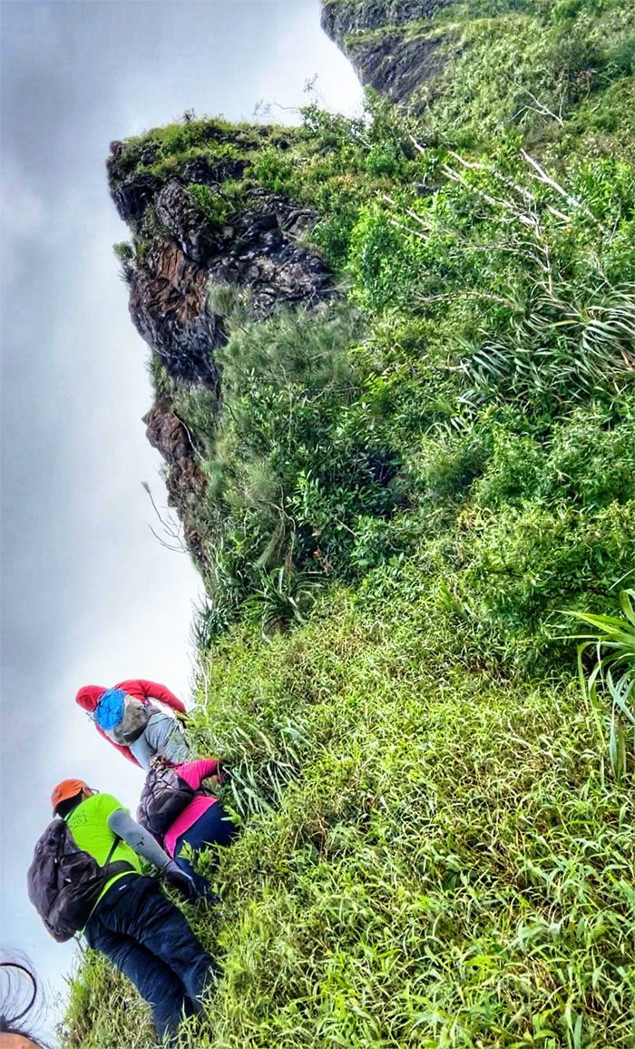
Can Opener
Contouring our way under the shadow of the bulging sofa rock.
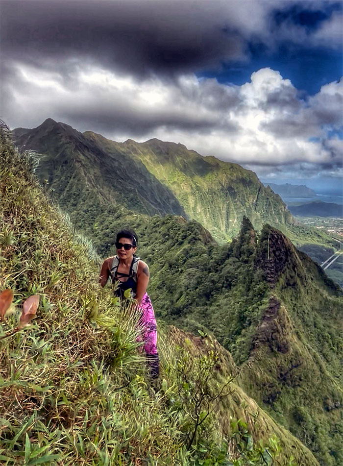
Kalihi Saddle
Aileen making her way around the bend.
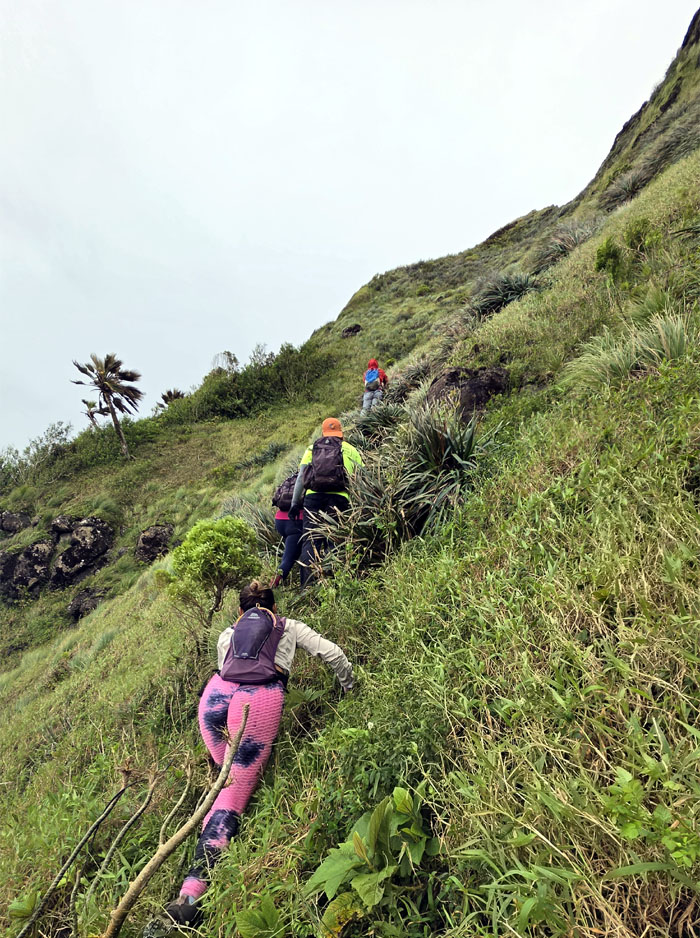
Lanihuli Wall
Scrambling our way up the lower tier of the flank of the ridge line.
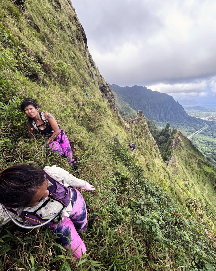
Lanihuli Wall
Pressing ourselves against the steep grassy cliff to stay on trail.
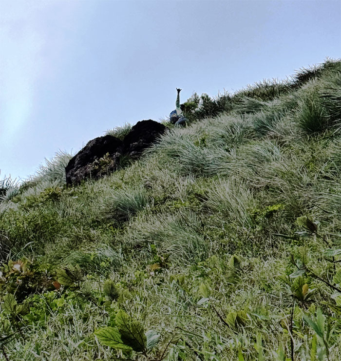
Lanihuli Wall
Akira climbing his way up to the upper tier.
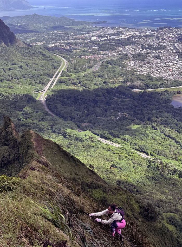
Kalihi Saddle
Penny regaining the ridge line.
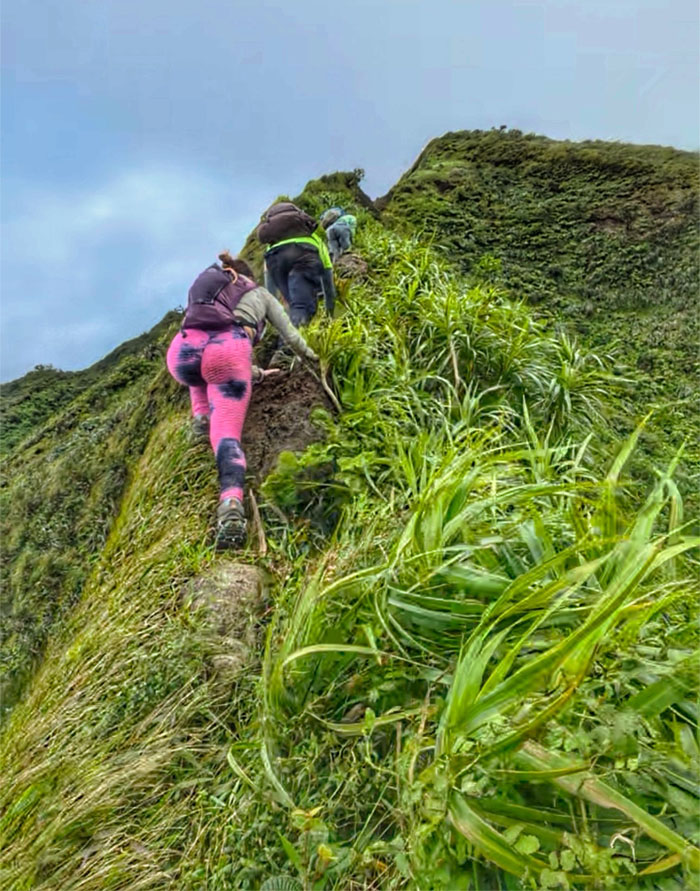
Kalihi Saddle
Scrambling our way up the crumbly ridge line barely held together by woody climbers and uki grass.
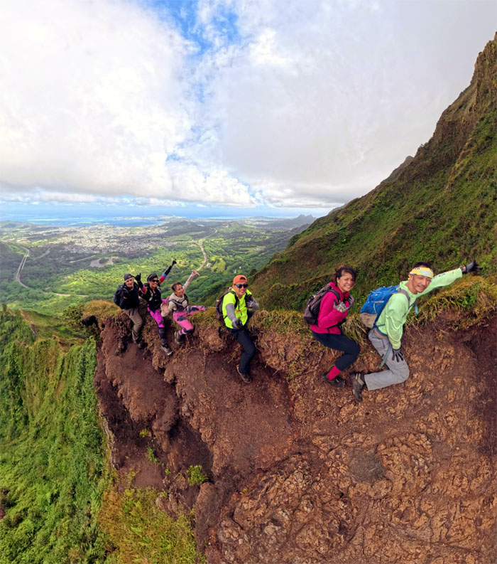
Dirt Dragon
The dragon has been tamed and trained.
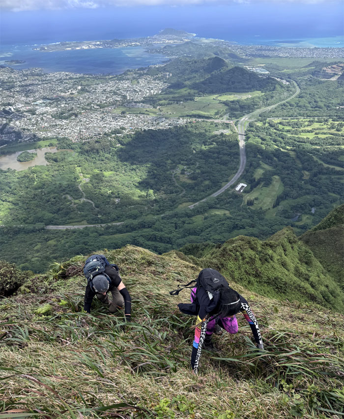
Ko’olau Summit Ridge Trail (KSRT)
Leaving all the “technical” sections behind us as terrain dictated that we temporarily abandon bipedal locomotion.
KSRT
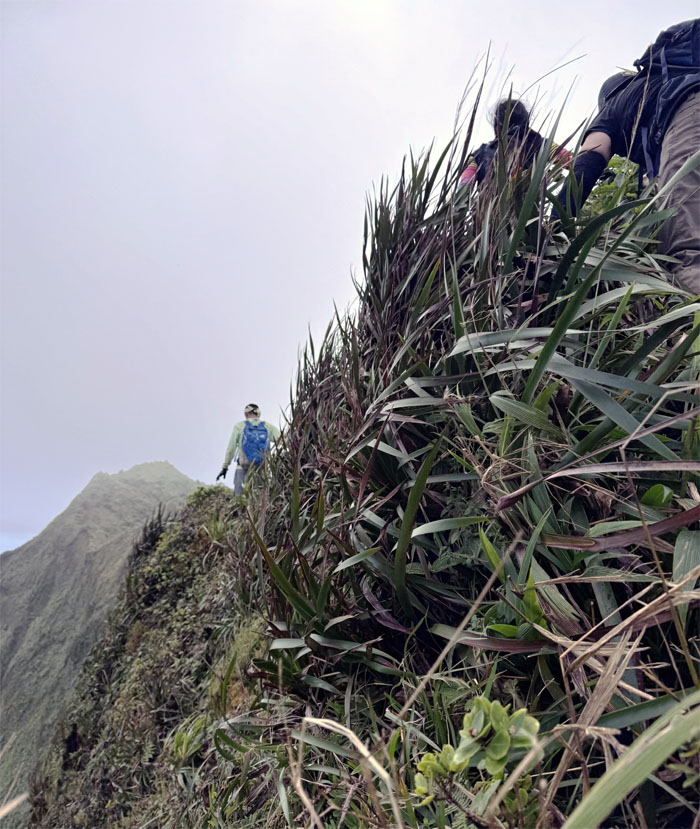
Tramping our way on the ridge line as we pushed towards our lunch spot.
Pu’u Lanihuli
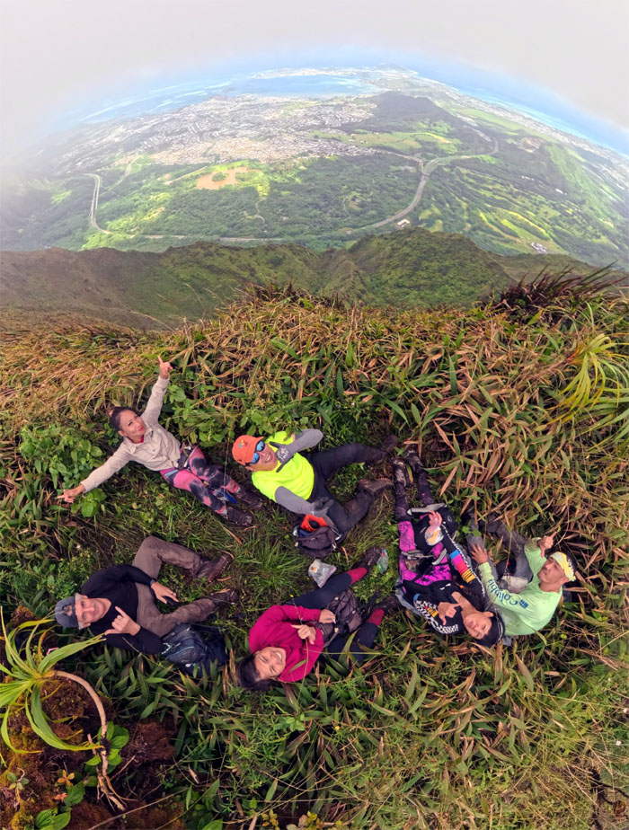
Sitting group photo at the 2,700′ swirling heavens summit.
KSRT
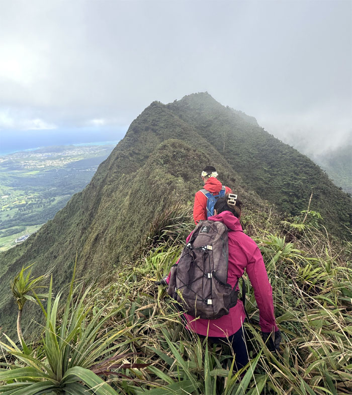
Back to our regularly scheduled programming.
KSRT
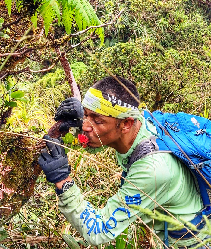
Akira giving this lehua flower way too much attention. He’s been single too long. Then again, red is the color of love.
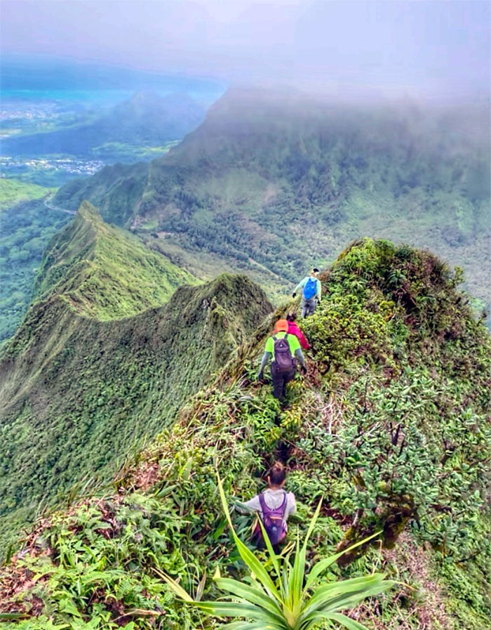
KSRT
Following the ridge line until we soon approached the steep drop.
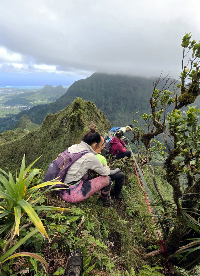
Anvil
We climbed down and soon approached another steep and crumbly cliff.
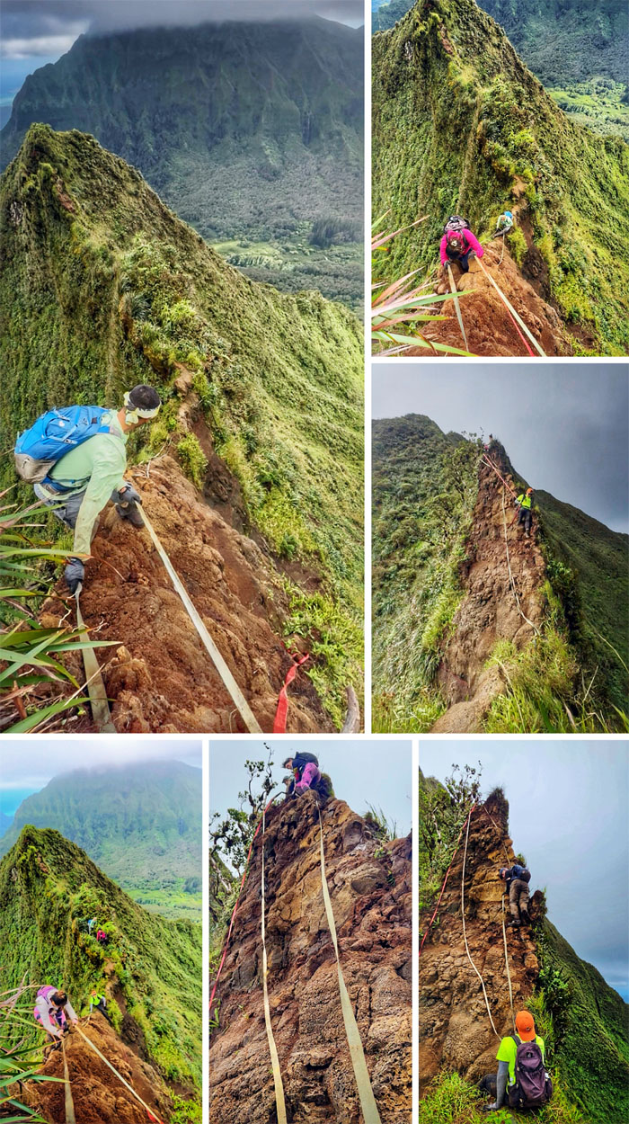
Anvil
There’s always one in the crowd. Hike different.
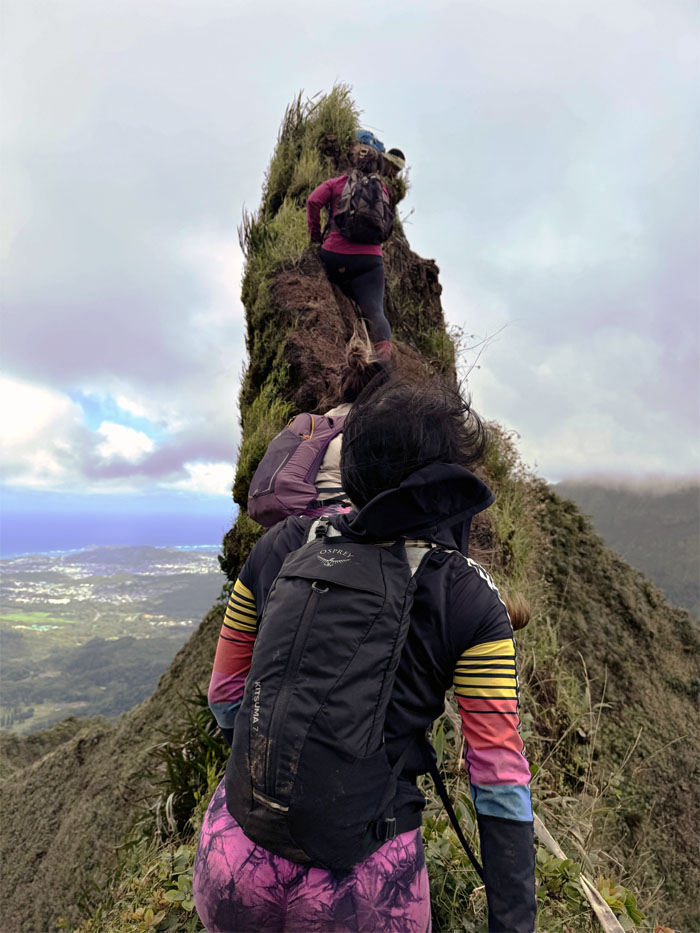
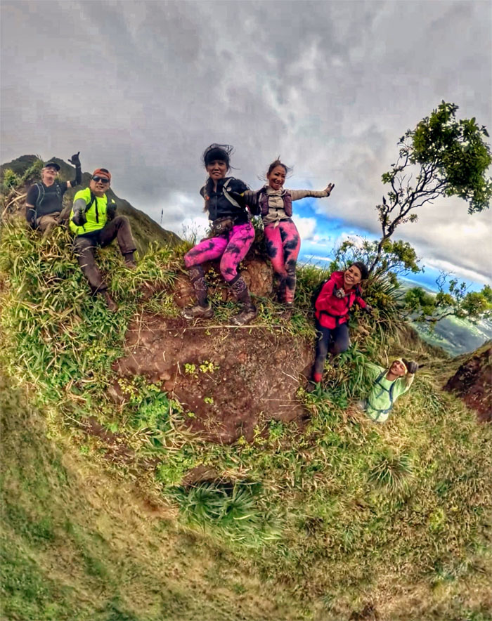
W
Can you see the heart for the W? Look real close.
W
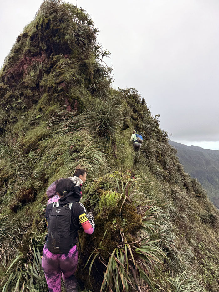
In the thick of things.
W
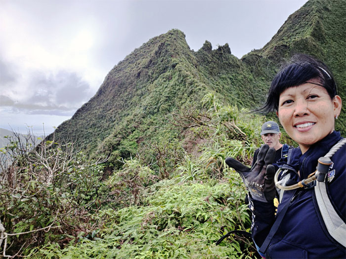
Climbing and contouring our way out of the 23rd letter of the alphabet.
W
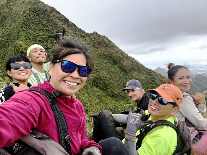
Taking a break and group photo at the grassy spot.
Nu’uanu Saddle
Aileen thought that the shape of the rock formation had changed over time. Checked old photos. Still the same.
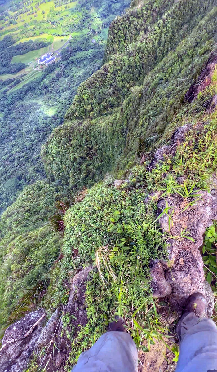
Nu’uanu Saddle
Living life on the edge.
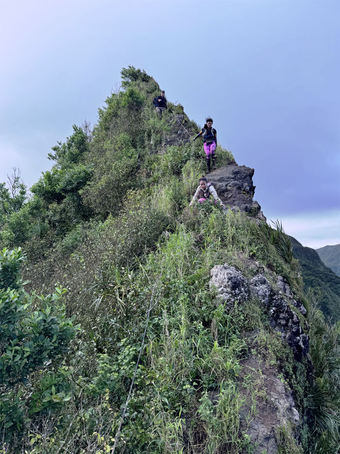
Nu’uanu Saddle
The rest of the group making their way down, one step at a time.
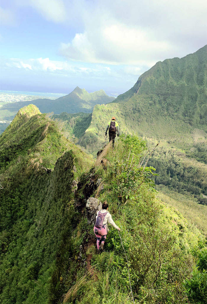
Nu’uanu Saddle
Sometimes you could stand …
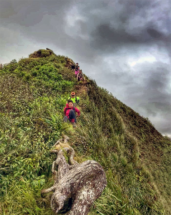
Nu’uanu Saddle
… other times, we had to scoot. The strong trade winds were blowing hard, one ill-timed gust could knock you off balance.
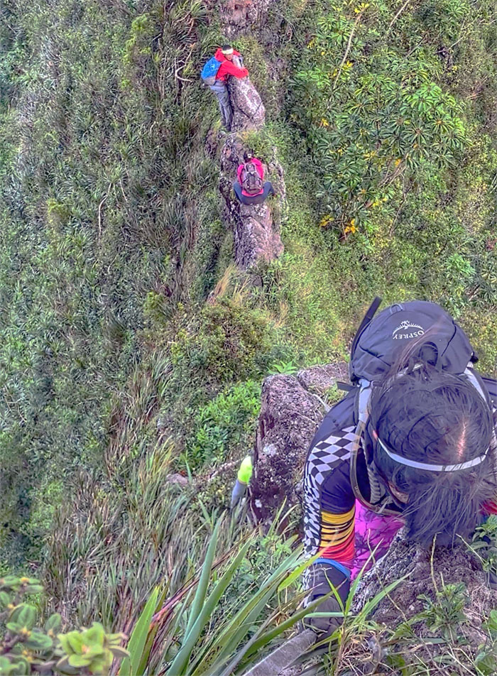
Incisor Tooth
Climbing down for our annual dental visit.
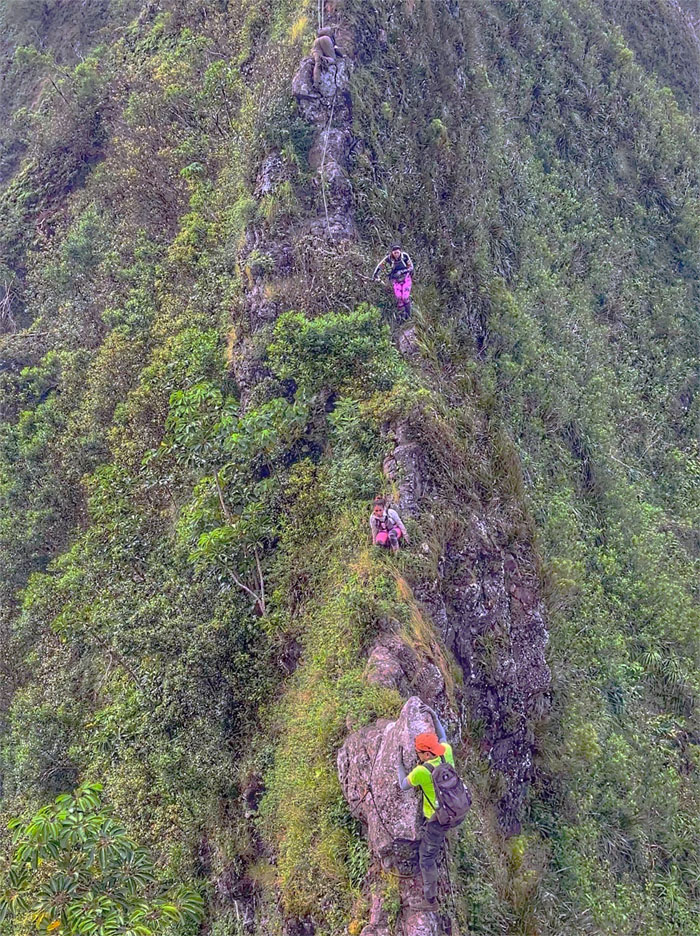
Incisor Tooth
No cavities. See you in six months.
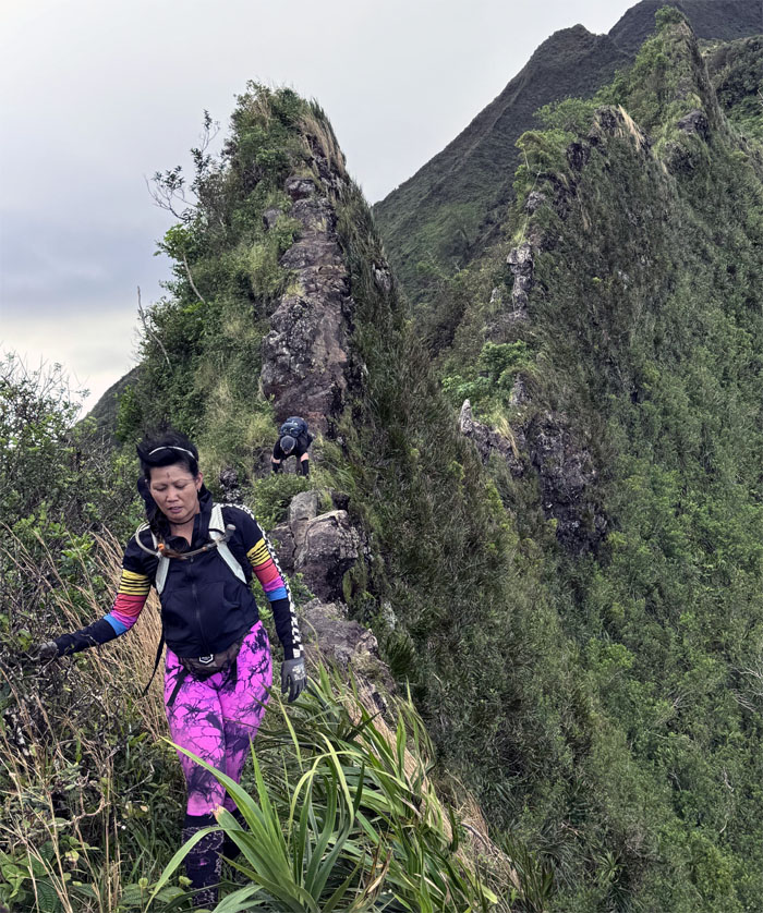
Nu’uanu Saddle
Leaving the dental office.
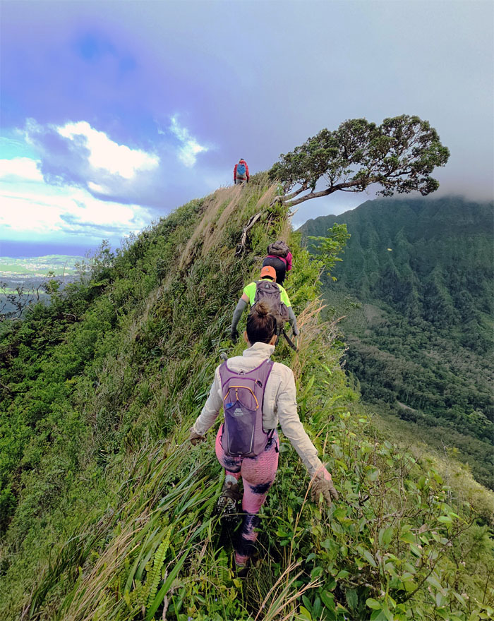
Nu’uanu Saddle
Trying to not follow the direction of the wind as we traversed over the ridge line.
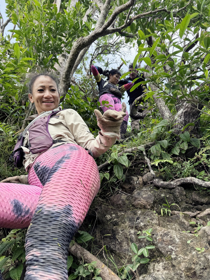
Nu’uanu Saddle
Out of the wind as we scrambled down the side of the cliff.
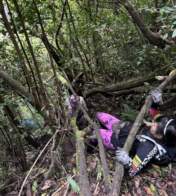
Nu’uanu Saddle
Aileen doing the mountain limbo.
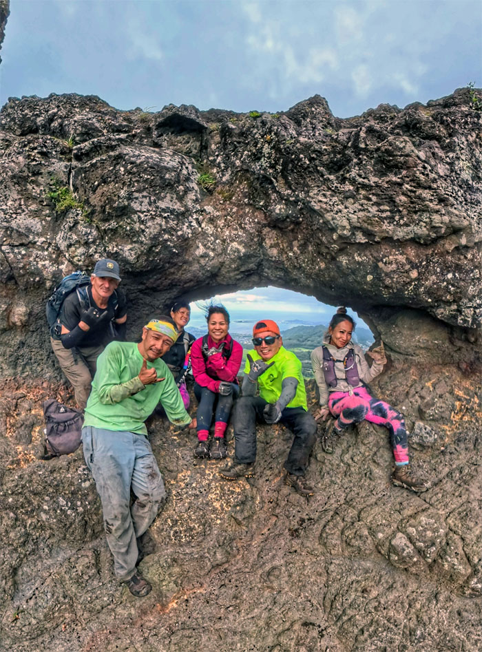
Pali Puka
Puka, puka in the mountain, who is the windiest of them all?
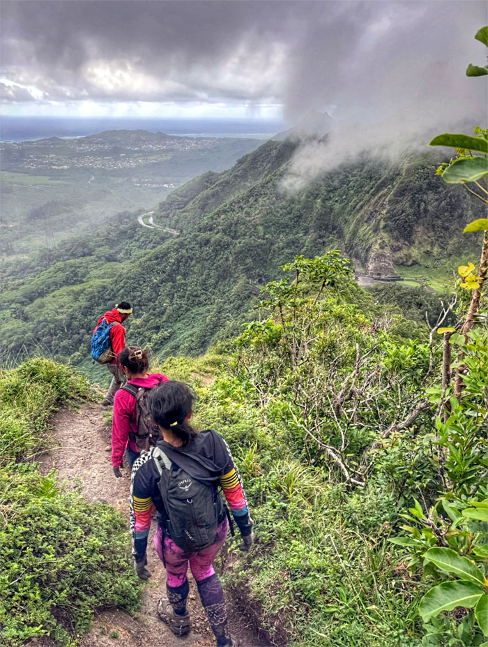
Pali Puka Trail
Making our way down to the rainy cliffs which bore witness to the leaping mullet where hundreds of Hawaiian warriors were either pushed or leaped to their death in May of 1795, which lead to King Kamehameha unifying all the major islands with the exception of Kauai which eventually recognized his authority over invasion.
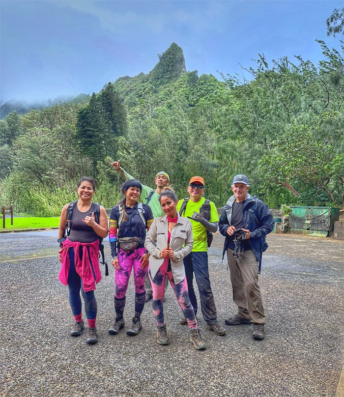
All pau
Trying to blend in with the tourists, some more successful than others.
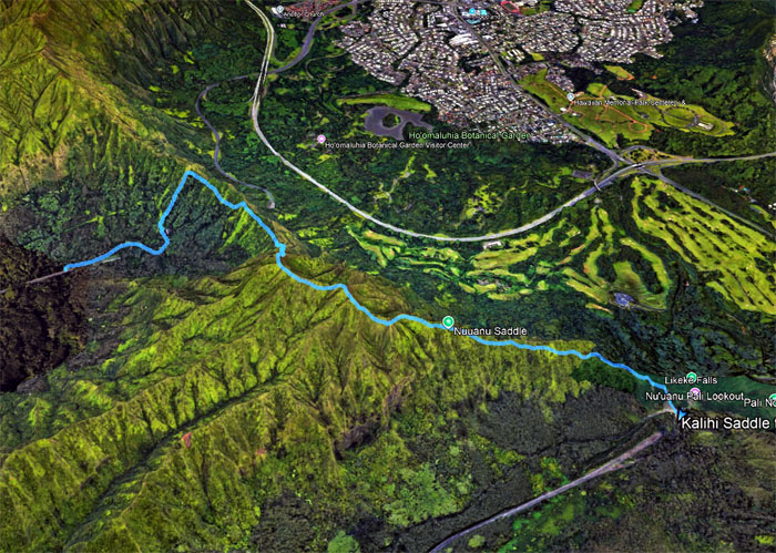
GPS Tracks
Our windier than usual saddle hike traversed a measly 3.26 miles through the rugged mountains which saw somebody’s fake eyelashes still intact and somebody wore their heart on their butt. Thanks to Roger for extending his stay so he could join in and Marilyn and Penny for completing this particular route. Fun times with good company. Post hike meal at Eagle Cafe where we had ono food with live music and were joined by Edgar, Cat, Erik and Aida.
Photos/Crew taken by Aileen Agustin, Akira Suzuki, Marilyn Bermudez, Penny Loula, Roger Schiffman, and yours truly. Not necessarily in order.
Note: I have been made aware that some hikers have been using my blog as a hiking guide and getting lost on the trails. Please note that this blog was made to document the hike for the crew(s) that did it. That is why some of my comments will seem to have no relevance or meaning to anybody outside of the crew(s) that hiked that trail. My blog was never meant as a hiking guide, so please do not treat it as such. If you find inspiration and entertainment from these hikes, that is more than enough. If you plan on replicating these hikes, do so in the knowledge that you should do your own research accordingly as trail conditions, access, legalities and so forth are constantly in flux. What was current today is most likely yesterdays news. Please be prepared to accept any risks and responsibilities on your own as you should know your own limitations, experience and abilities before you even set foot on a trail, as even the “simplest” or “easiest” of trails can present potential pitfalls for even the most “experienced” hikers. One should also always let somebody know of your hiking plans in case something doesn’t go as planned, better safe than sorry.

{ 0 comments… add one now }