

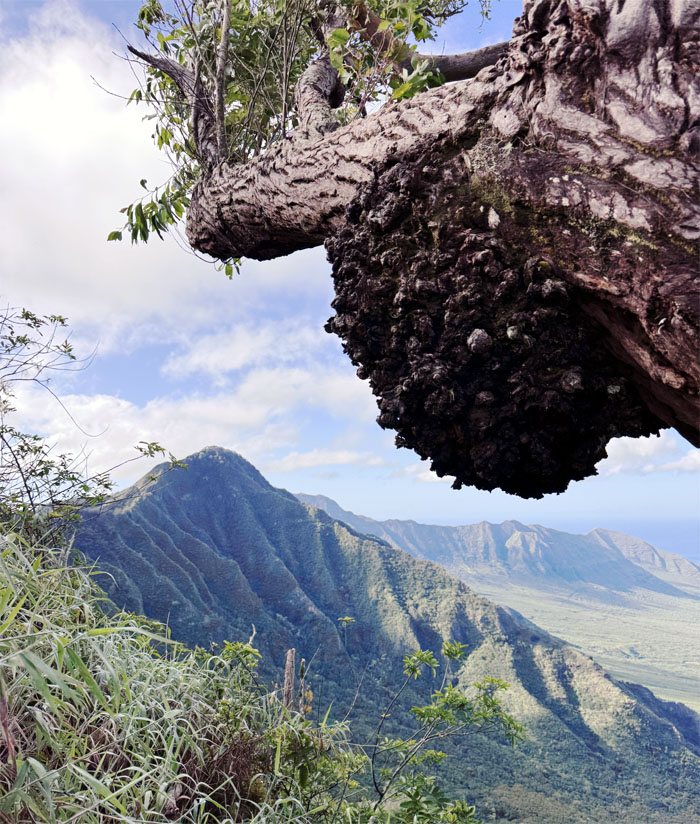
It has been a dry spell since we last set foot on the WST, today we broke that spell as Schofield Barracks was open to the public this weekend.
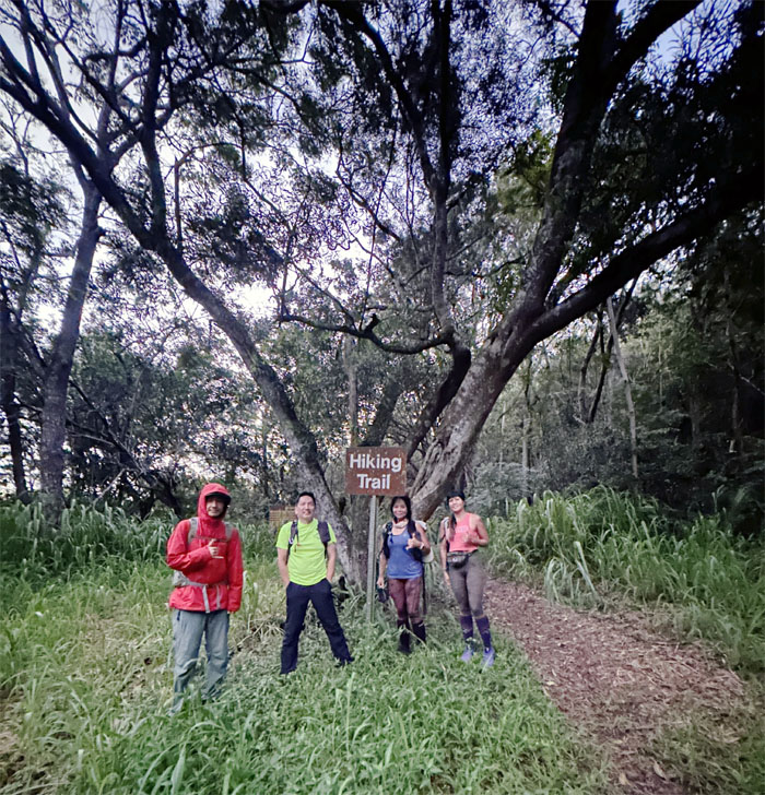
Kolekole Pass
Thanks to Jeremy and Leslie for dropping us off at the lowest point in the Waianae Mountains.
Hapapa Trail
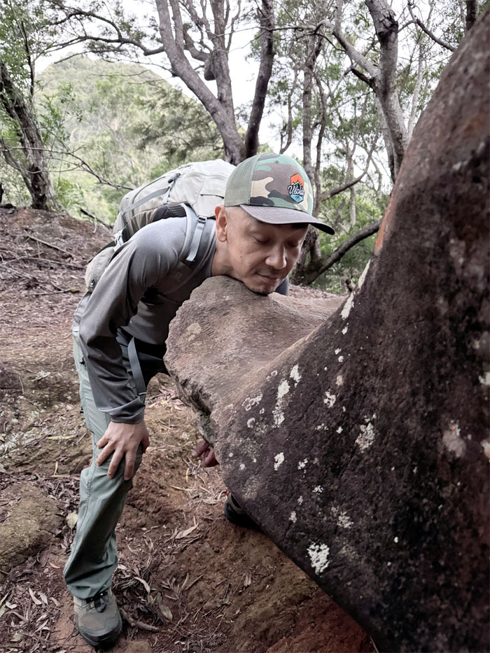
Somebody wanted to be on the chopping block.
Hapapa Trail
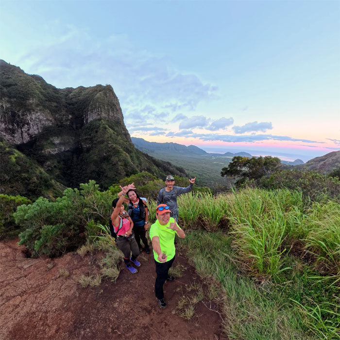
Group photo at the overgrown grassy clearing with a nice view of the valley and coast. There was a new bench installed as the old one became long in the tooth.
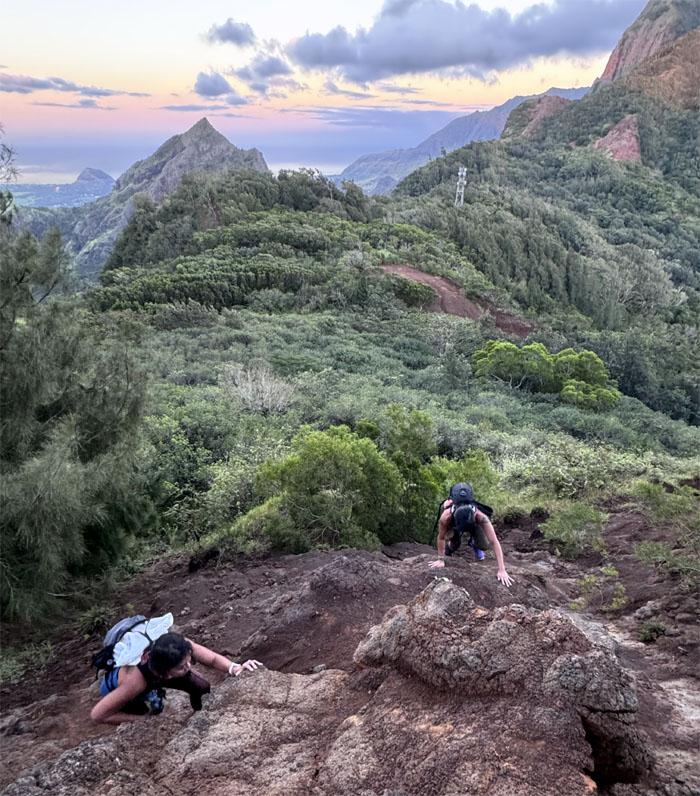
Hapapa Trail
Scrambling up the direct way. Why go the easy contour way and see the paperbark trees? Exactly.
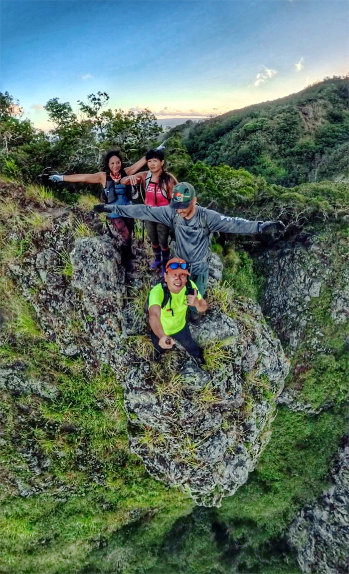
Hapapa Trail
Group photo on the dike. Don’t look down.
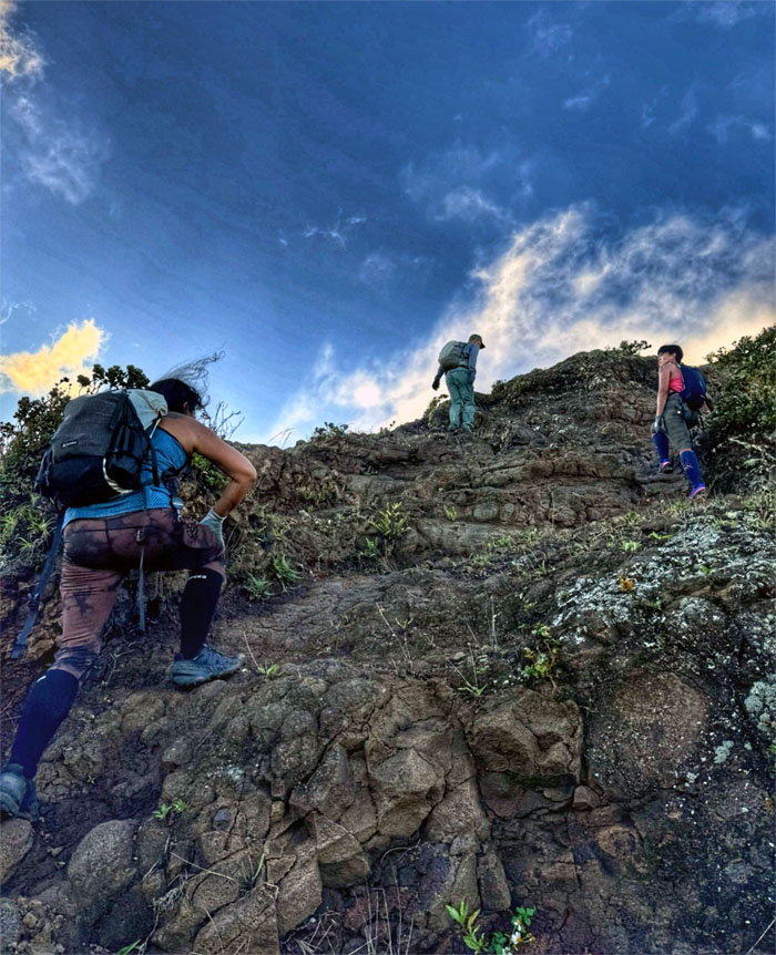
Hapapa Trail
Climbing our way up the first notch.
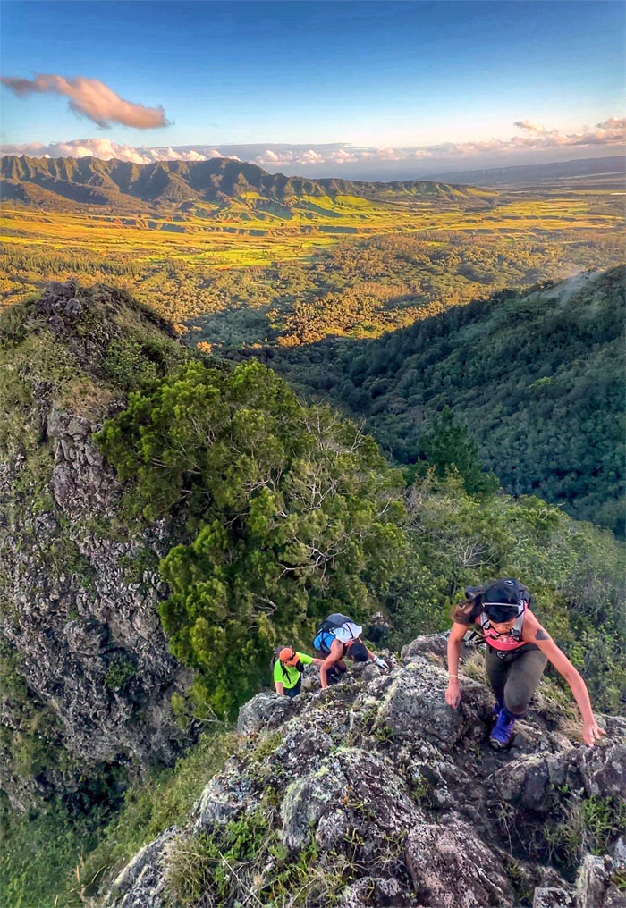
Hapapa Trail
Scrambling out of the second notch.
Hapapa Trail
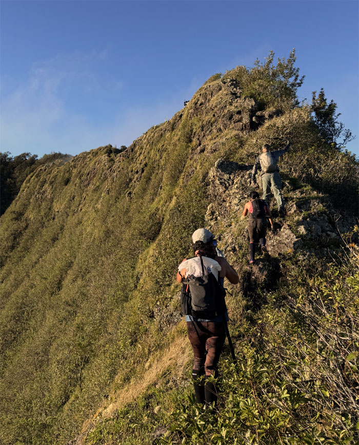
Following the ridge line that soon became fenced and reverted back to Mother Nature.
Hapapa Trail
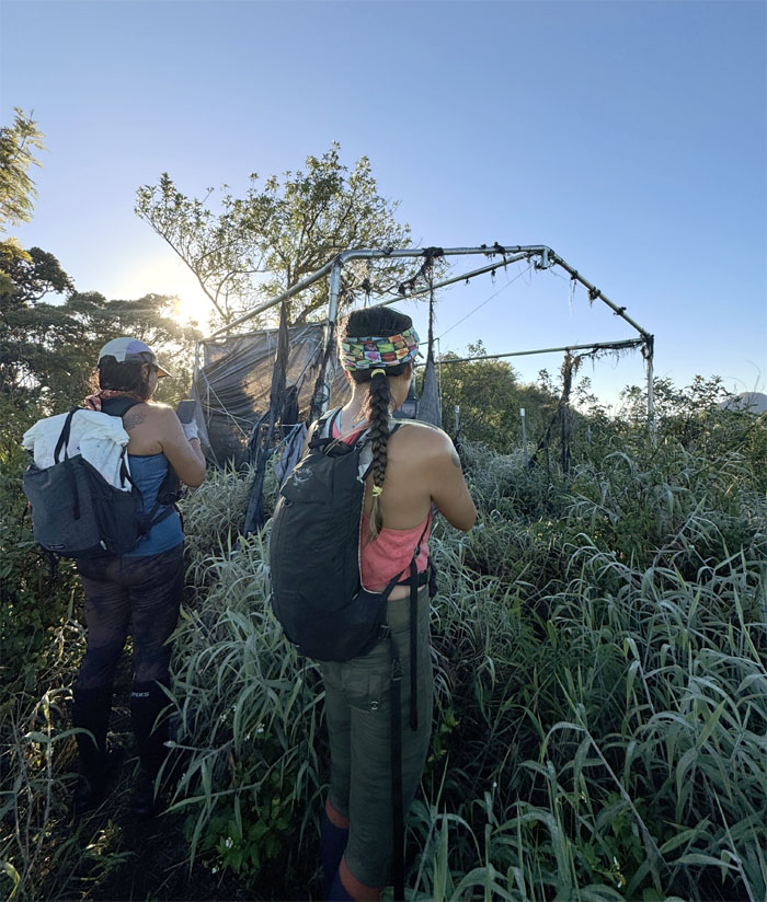
Checking out the shelter that has seen better days, the recent storms had wrecked the tarp and just left the frame standing.
Pu’u Hapapa
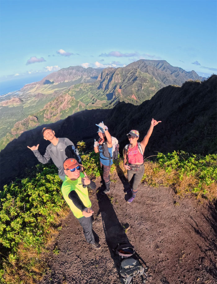
Group photo at the 2,883′ sun kissed peak.
Waianae Summit Trail (WST)
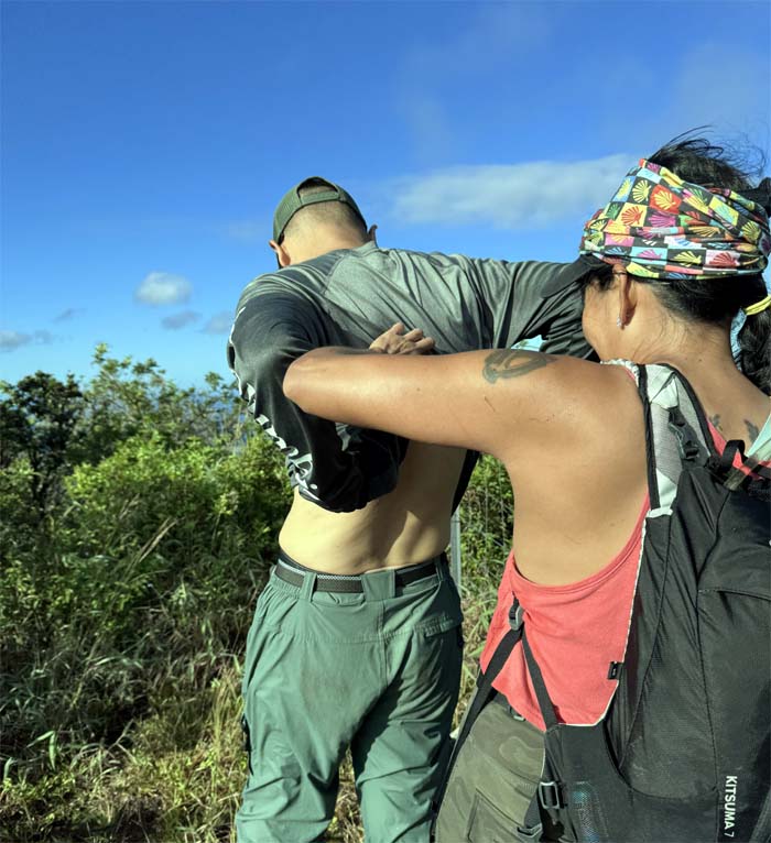
Itch to scratch. Real itch.
WST
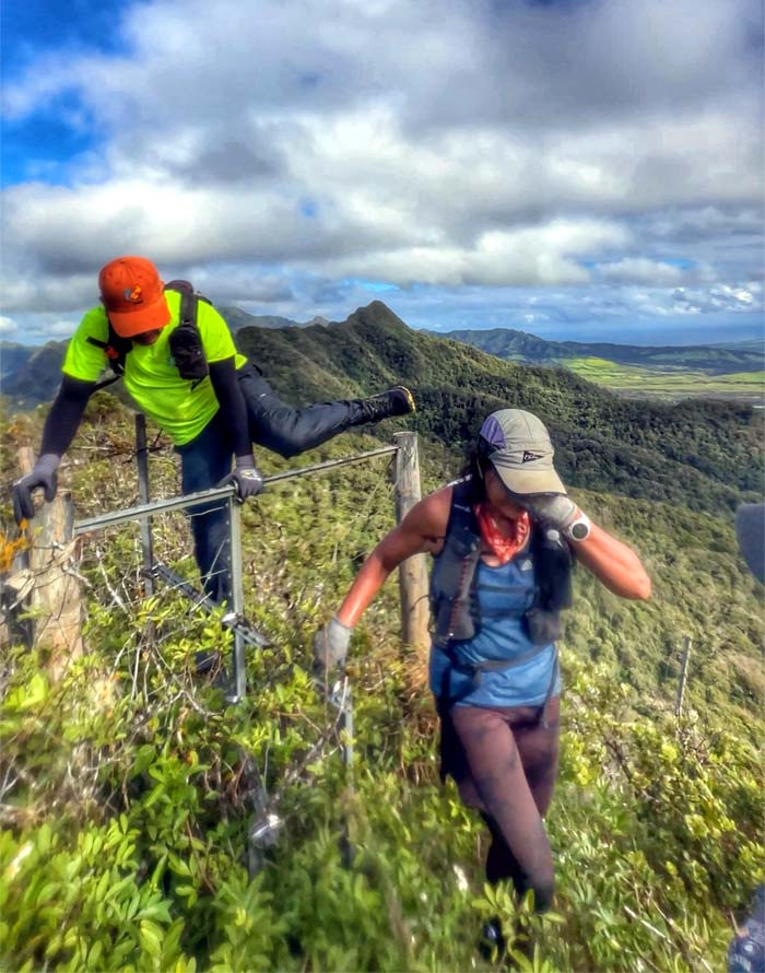
Throwing our legs over one of multiple fence crossings.
WST
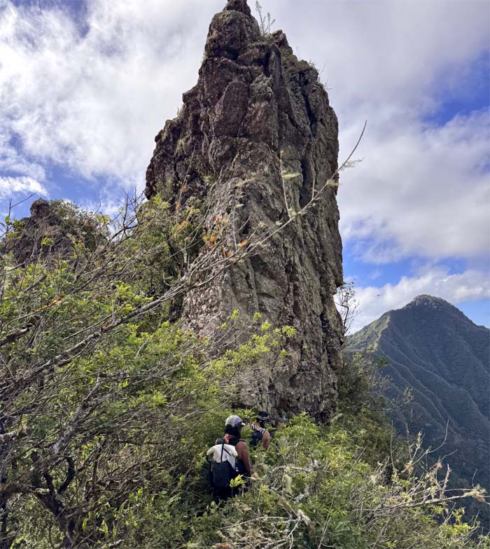
Contouring our way around the imposing rock spire.
WST
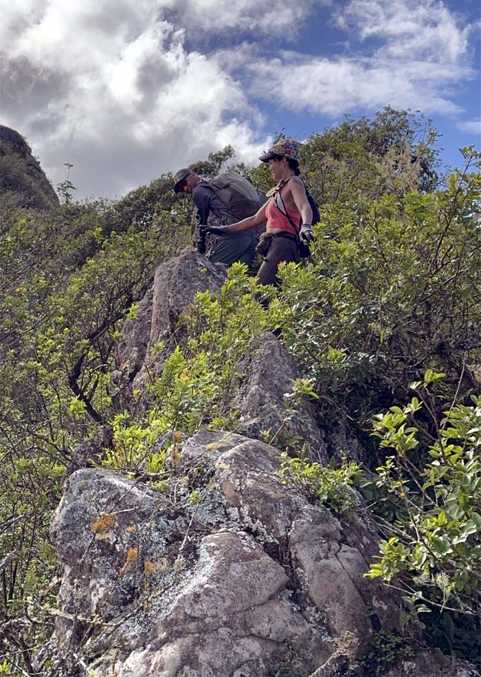
Traversing over the uneven and narrow dike.
WST
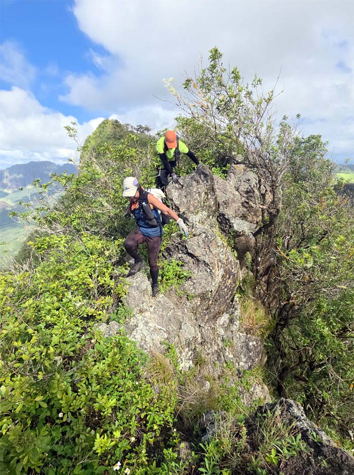
Making our way across with one foothold and one handhold at a time.
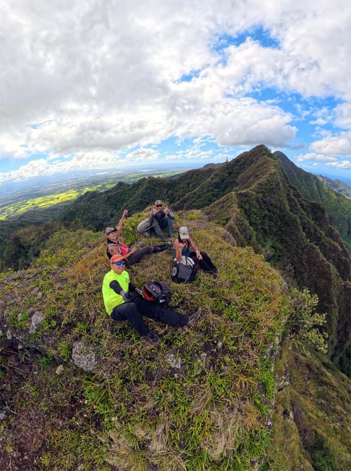
Pu’u Kanehoa
No need to stand up at the 2,728′ peak.
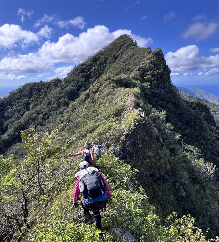
WST
Bushwhacking and contouring our way back to the ridge line.
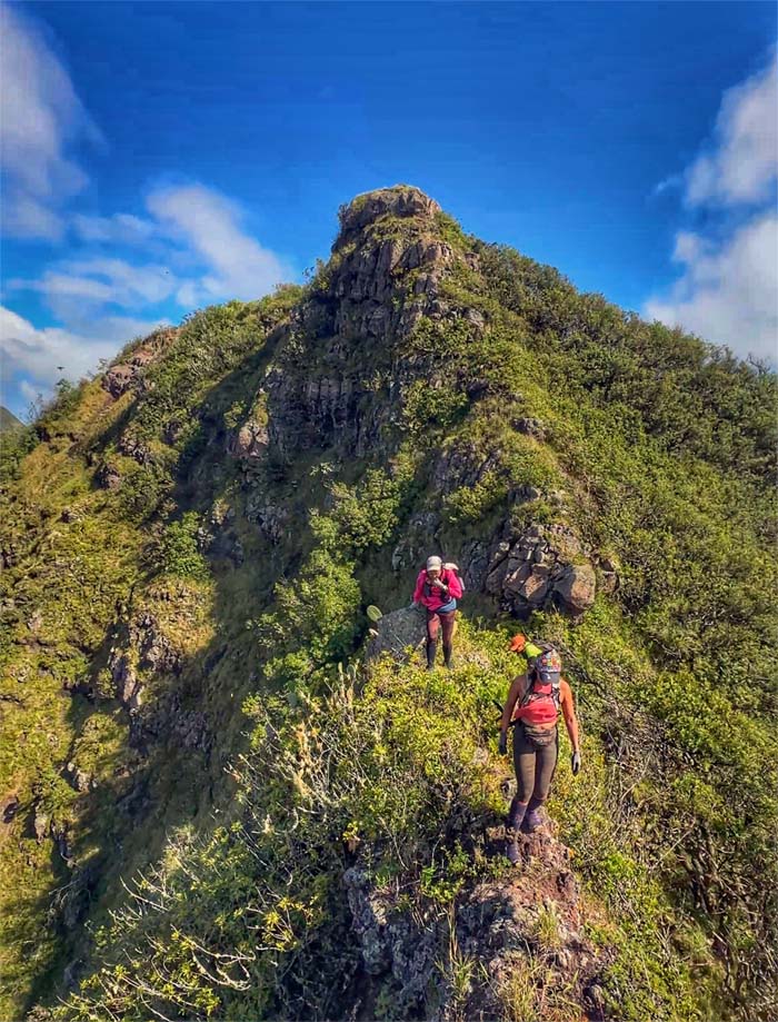
WST
Leaving the flat topped summit behind us.
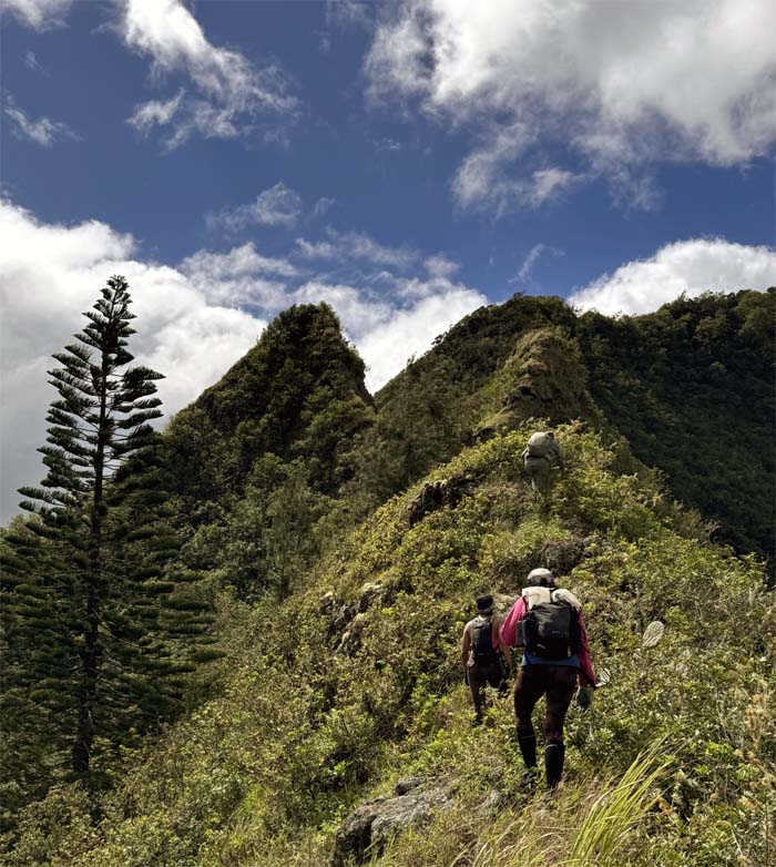
WST
Approaching the two rock formations known as Gorilla Heads flanked by the towering pine tree.
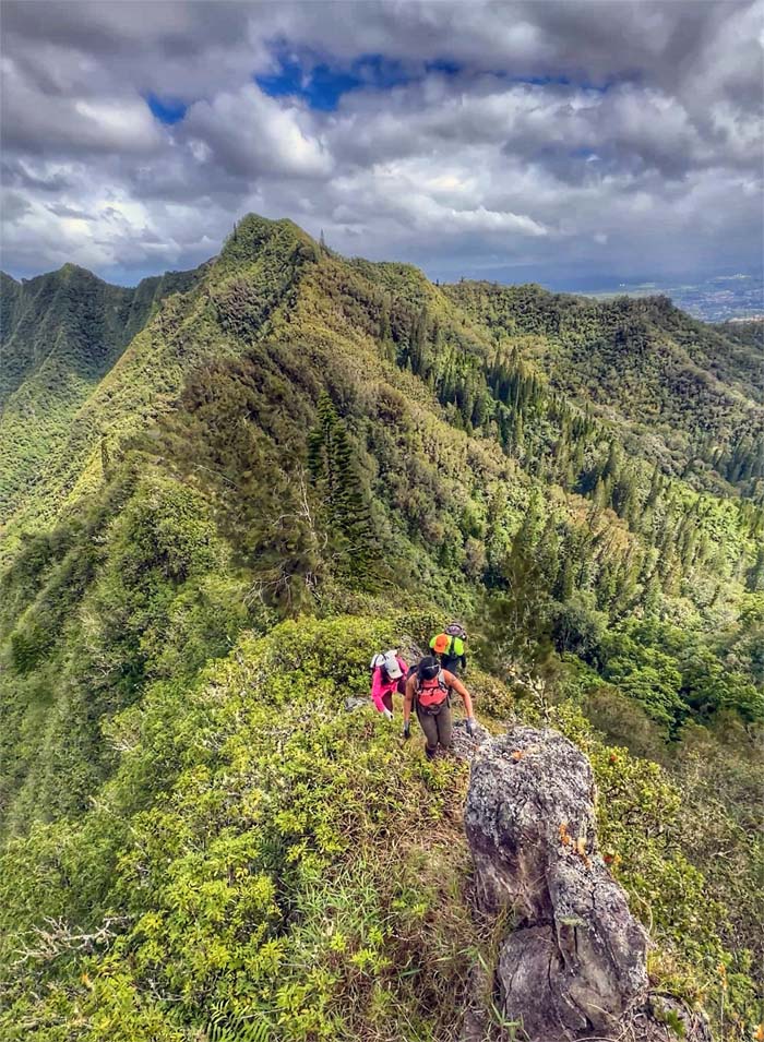
Gorilla Heads
Climbing up the base of the smaller rock formation.
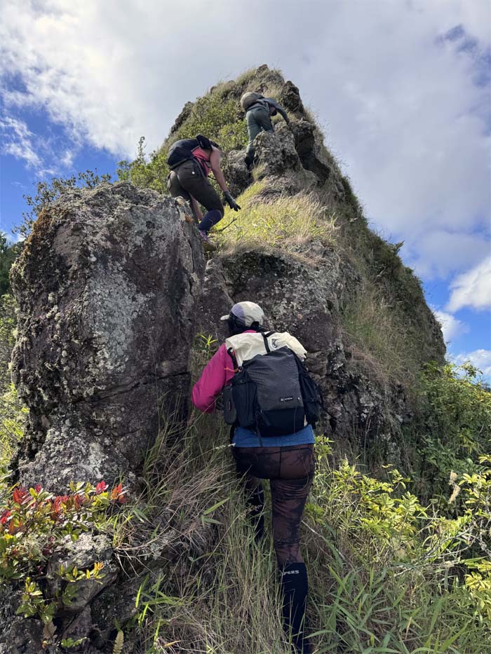
Gorilla Heads
Scrambling our way up to the primate shaped head that gives the obstacles its colorful name.
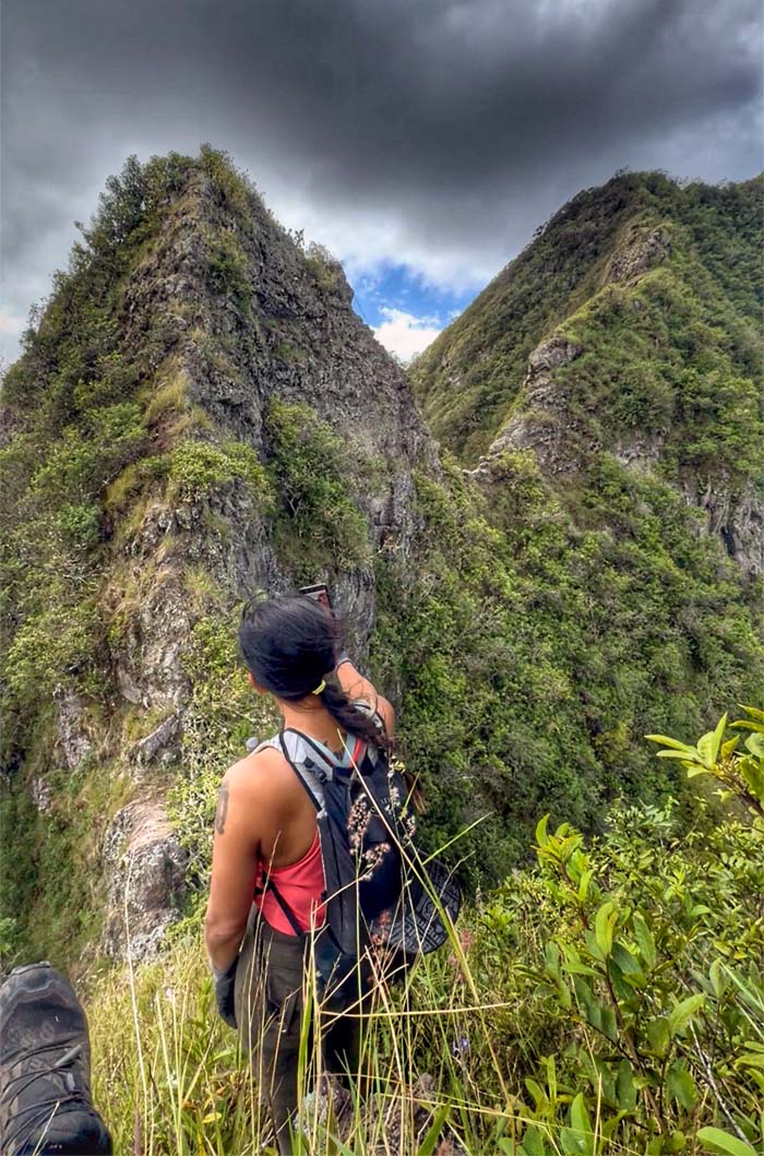
Gorilla Heads
Aileen facing the major obstacle on this section of the trail.
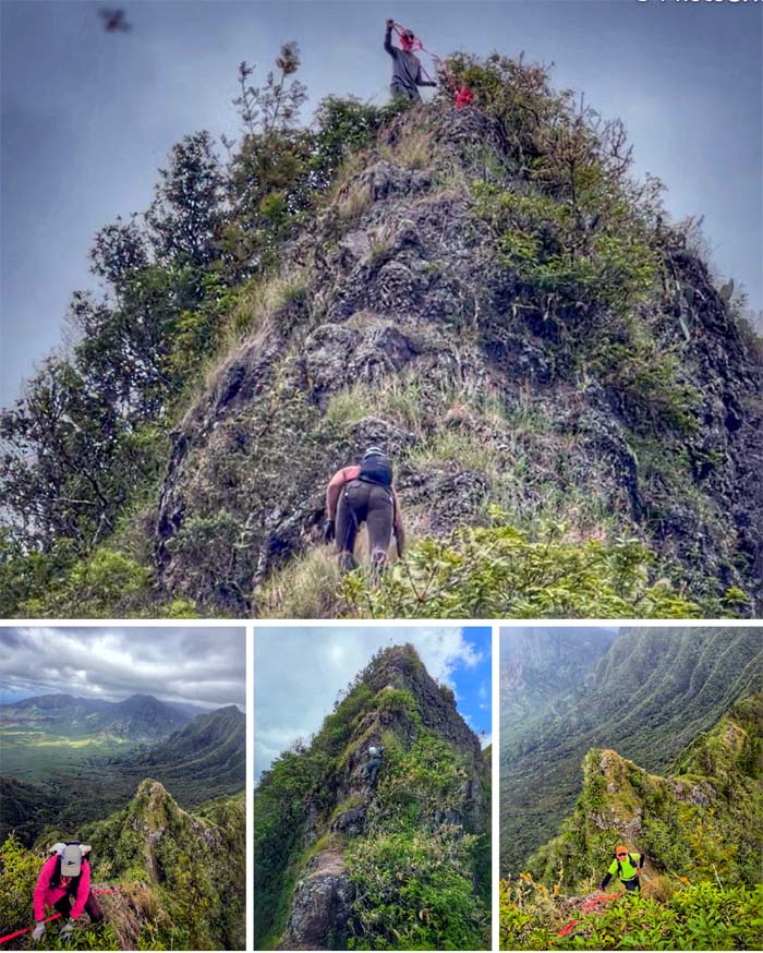
Gorilla Heads
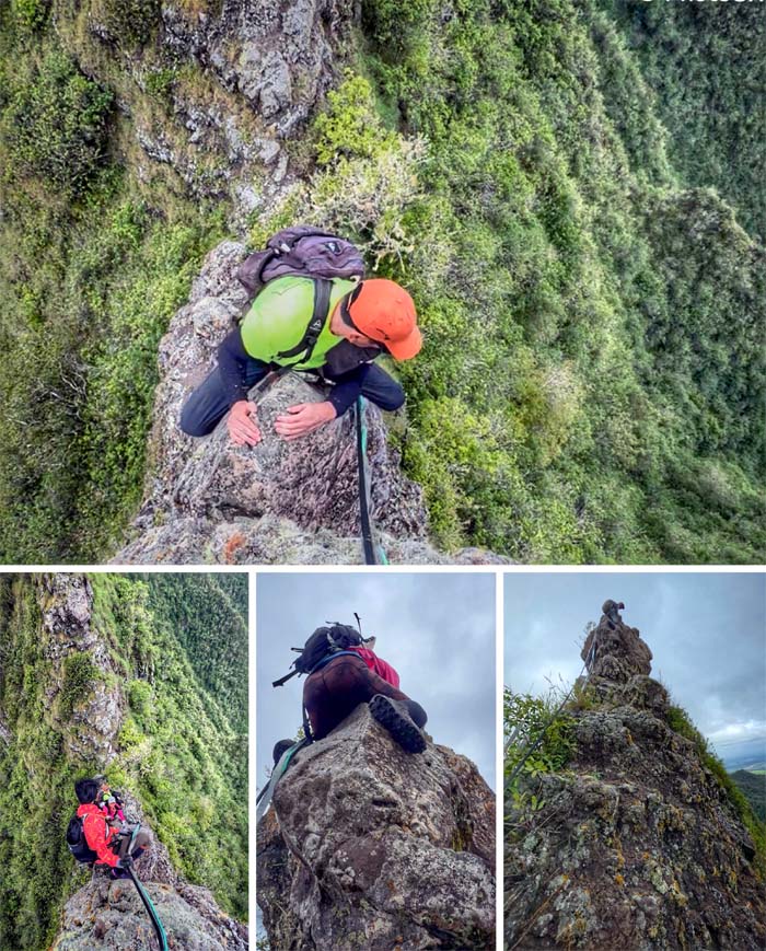
Everybody climbing up the front side which is relatively easier …
Gorilla Heads
… compared to descending down the back side. It was scary for some.
WST
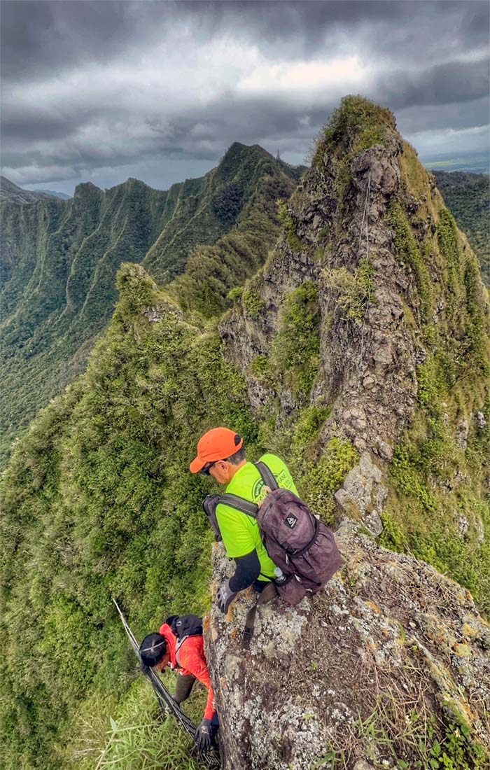
Contouring and climbing up the wobbly fence to regain the ridge line with the backdrop of Gorilla Heads.
WST
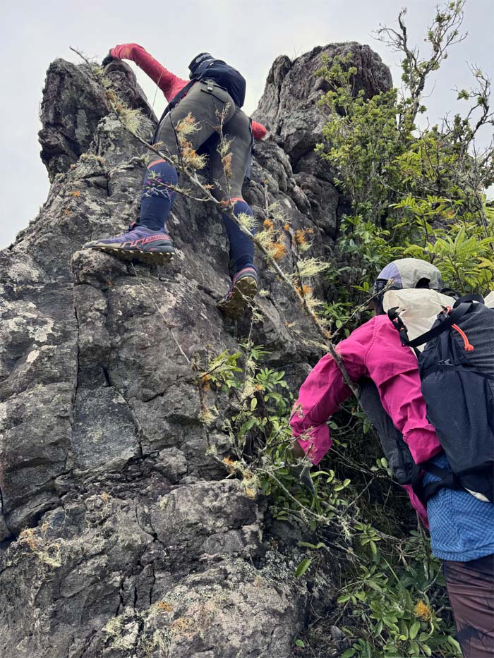
Are you sure this is the way? Yes, I’m pretty sure.
WST
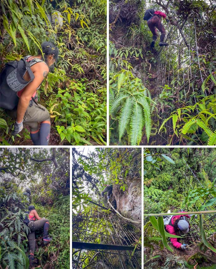
Plunging into the dense overgrowth of uluhe ferns and climbing vertical fences. Scary times for one particular individual.
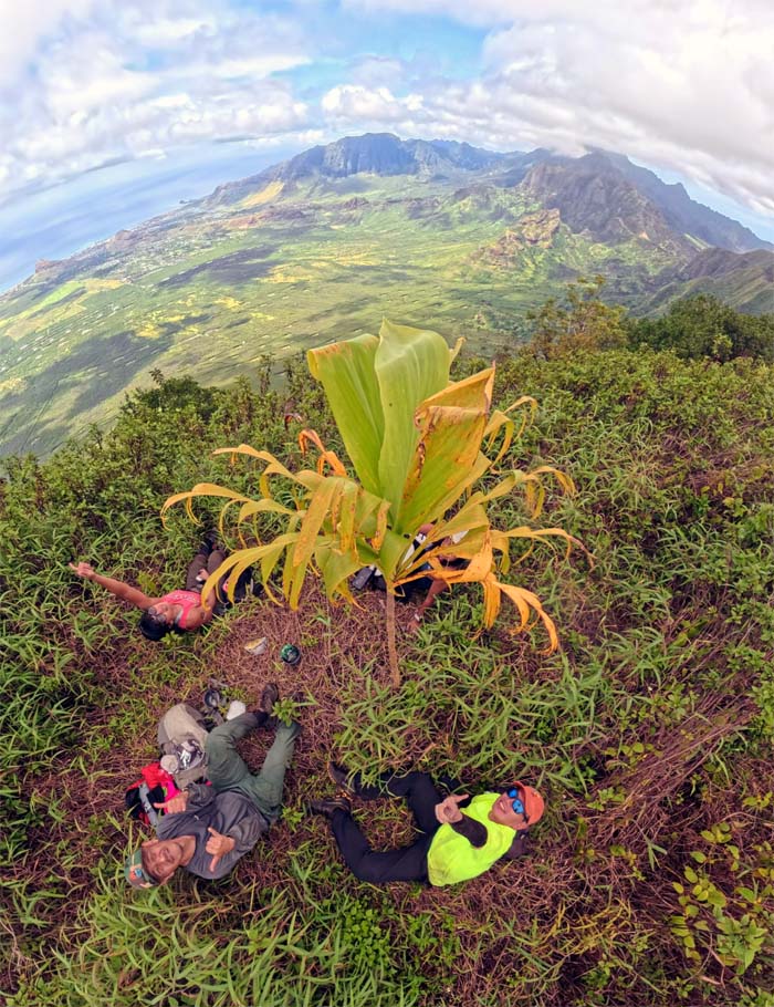
Pu’u Kaua
Lunch at the third highest peak in the Waianae Mountain Range and the fourth highest on the island, sitting at 3,127′ elevation.
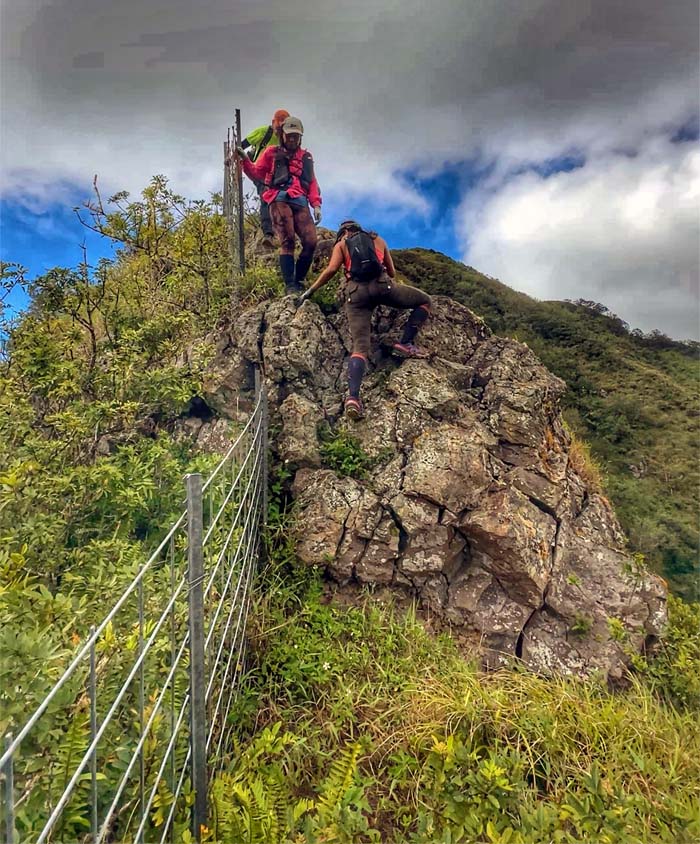
WST
We left the summit for fenced and rocky pastures.
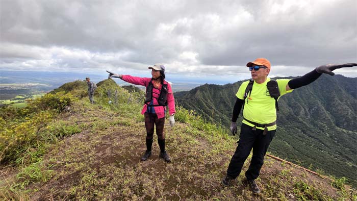
WST
Which way? That way? What are we pointing at?
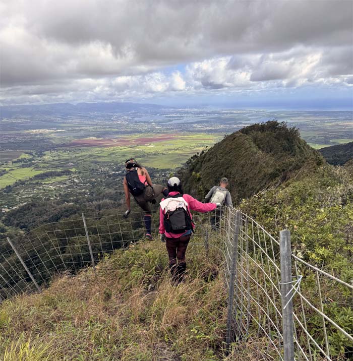
WST
Leaving the fence line behind us for good.
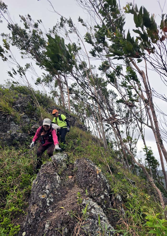
WST
Scrambling through the windswept trees perched on the cliffs.
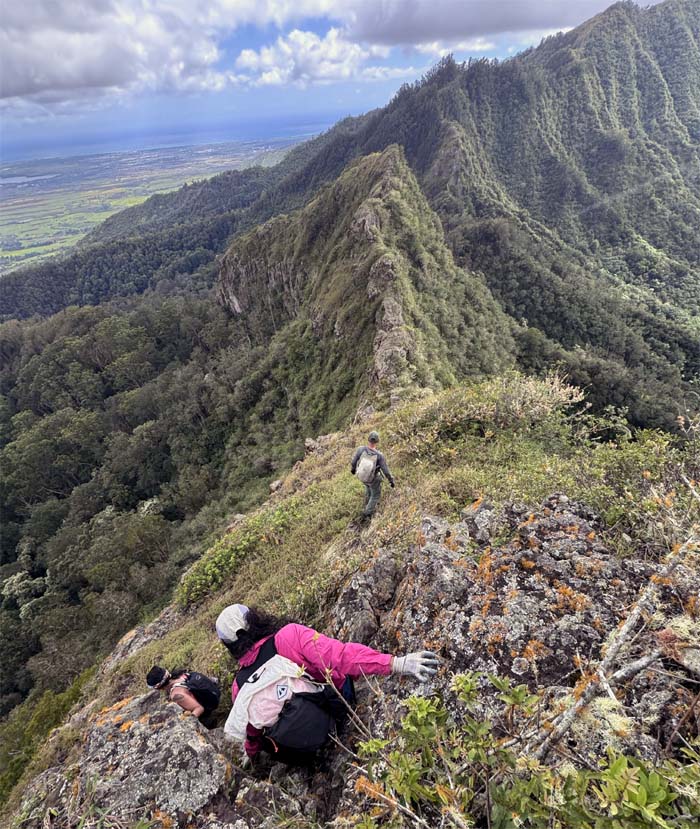
WST
All downhill? Say it ain’t so!
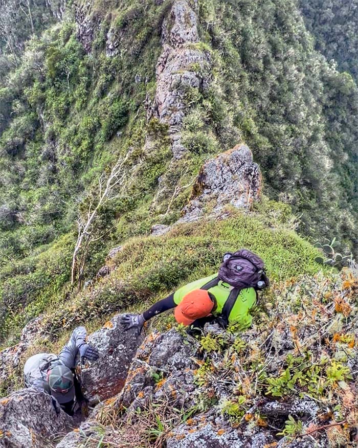
WST
Where are you going? This is the way.
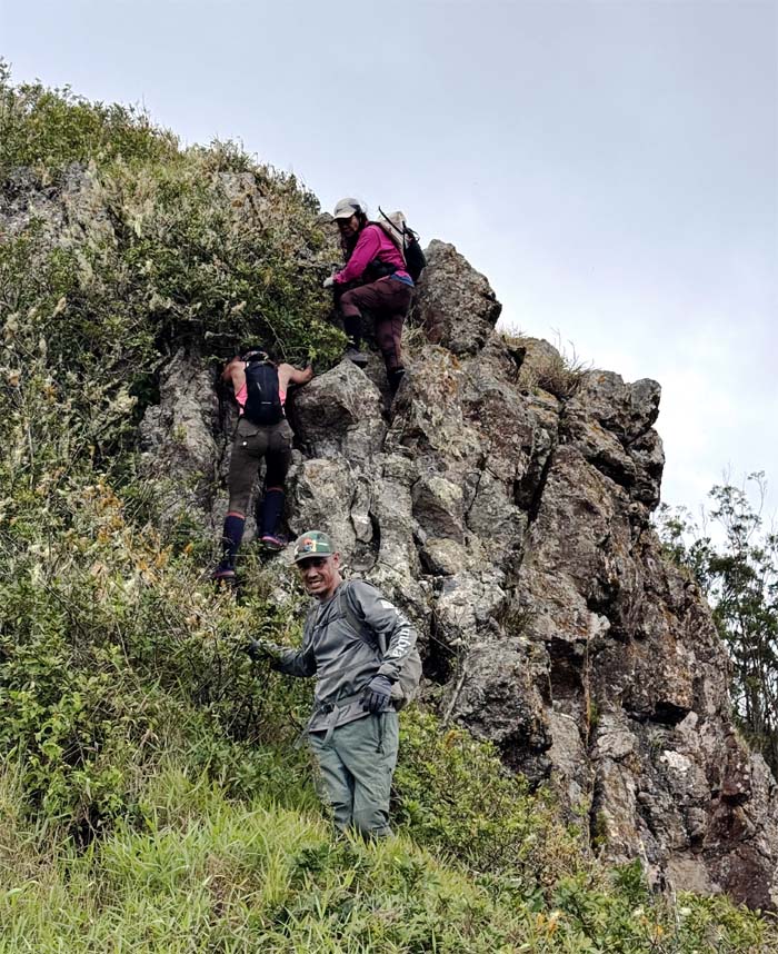
WST
The group climbing their way down, the right way.
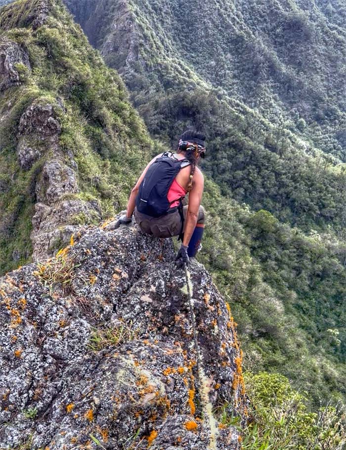
WST
Aileen climbing down …
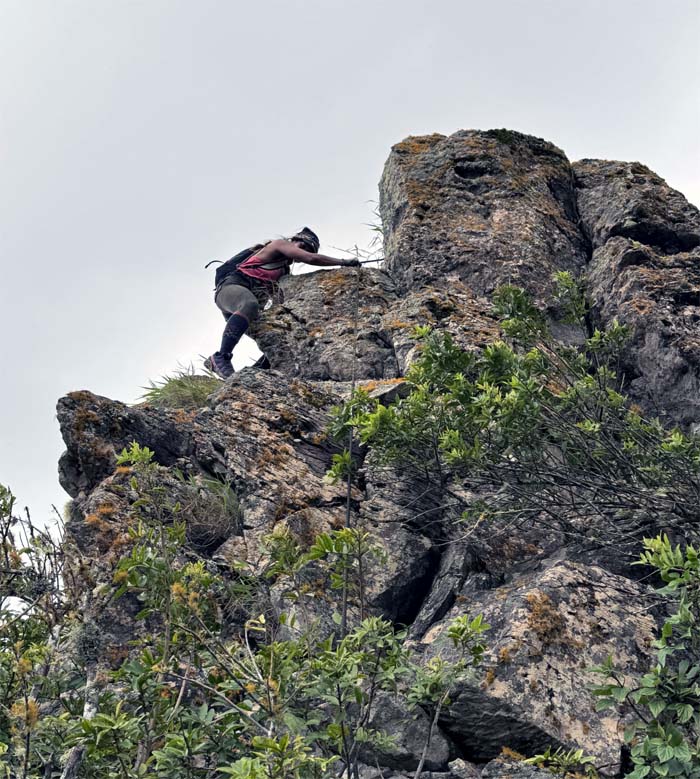
WST
… and contouring around this stack of jumbled rocks. Rinse and repeat.
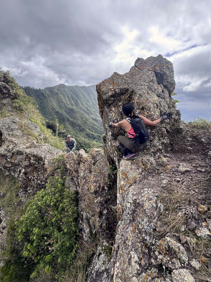
WST
I guess it’s not like riding a bicycle.
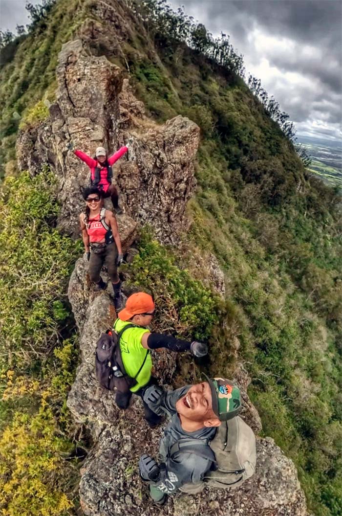
WST
Let’s take a group photo on this narrow dike as the winds whip around us. Good idea.
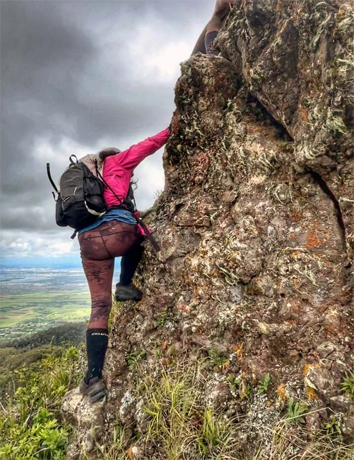
WST
Cristy climbing her way to the top.
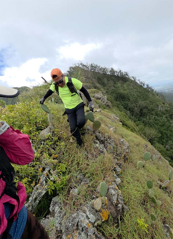
WST
Picking my way through prickly cacti.
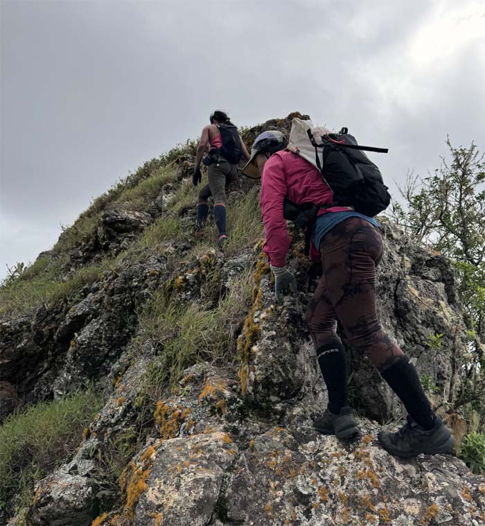
WST
Scrambling up the last hill. Promise.
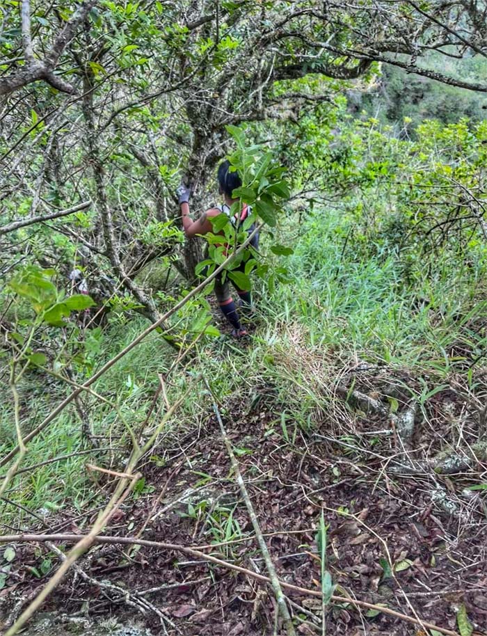
WST
Following the weathered webbing down as we detoured off the ridge line.
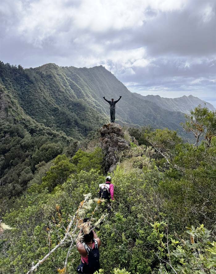
WST
Akira standing on a spit of rock rising out of the forest.
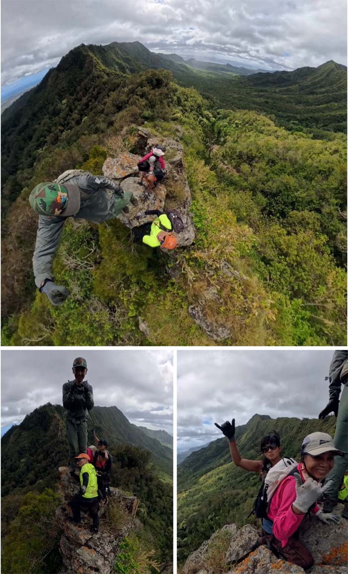
WST
We all joined him. Three’s a crowd, Four’s a party.
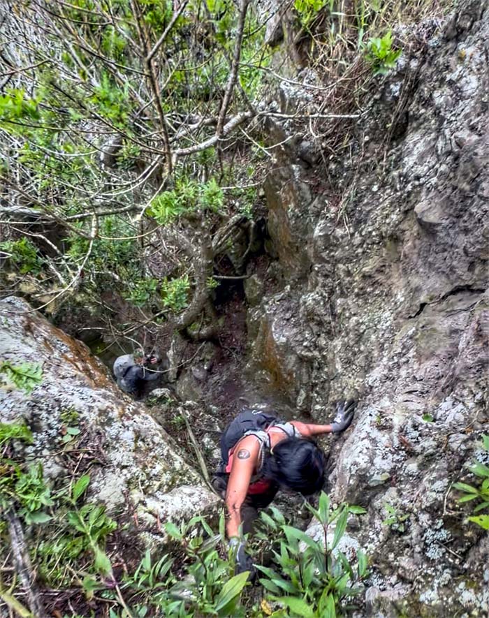
WST
A voice from down below said “Scary.” Is Jeremy in the room with us?
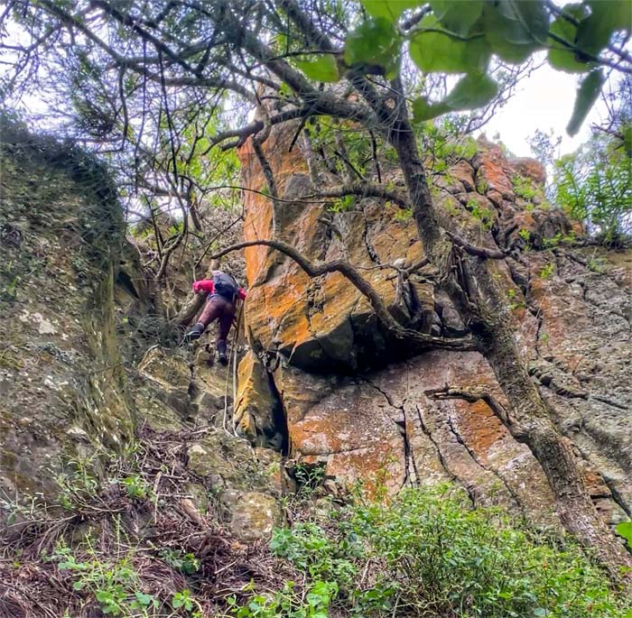
WST
Cristy climbing down the last obstacle of the day.
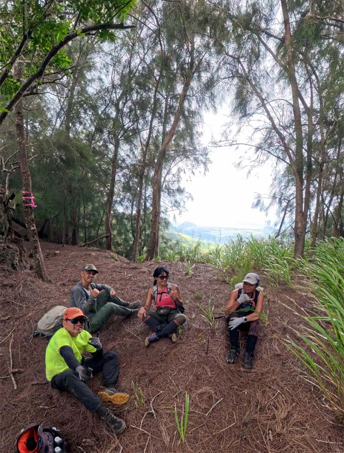
WST
All pau with the WST. Time to head down to finish off the hike.
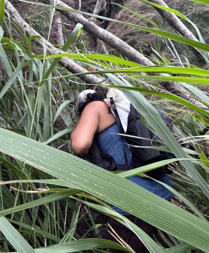
Contour Trail
Heading into the trail that was overgrown with California grass. The itchy kind.
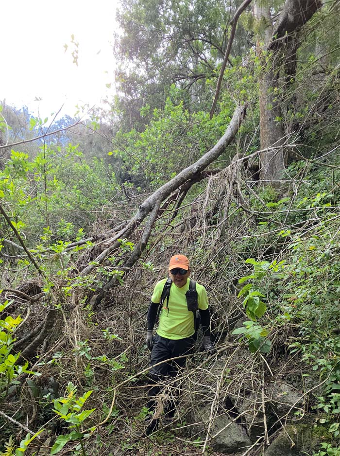
Contour Trail
Emerging from the brush. Taste of things to come.
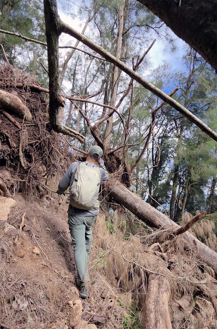
Contour Trail
The trail was hiding underneath all the blowdowns.
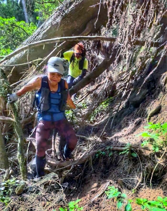
Contour Trail
Contorting our bodies to fit through another blowdown.
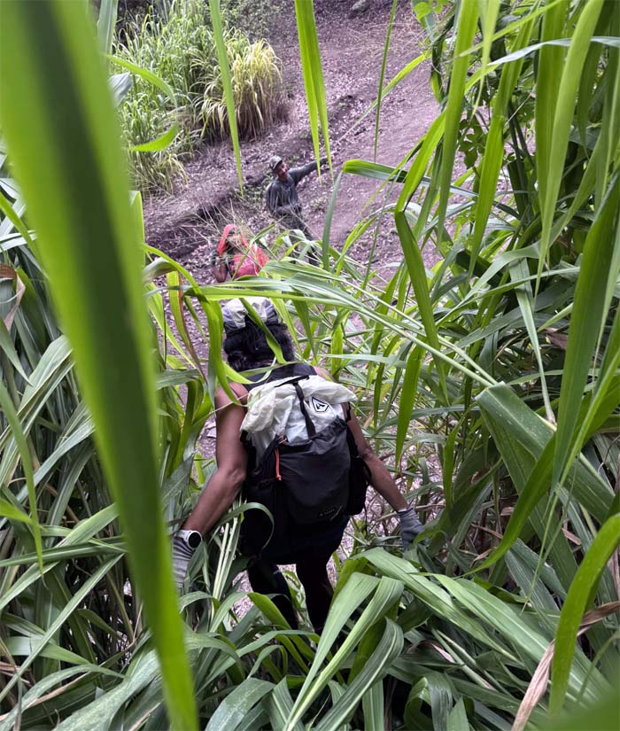
Honouliuli Contour Trail
Breaking out of the overgrowth to walk down the jeep road. Relief.
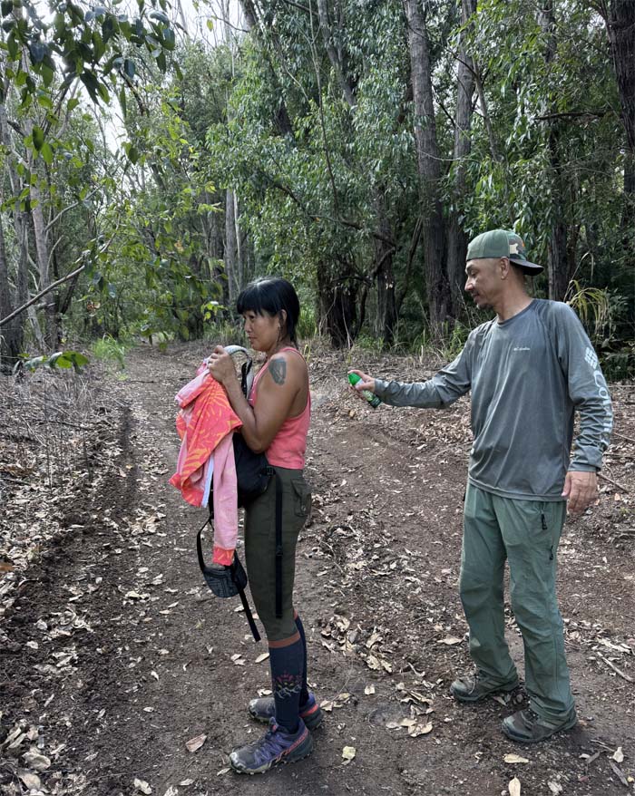
Honouliuli Contour Trail
Complimentary bug spray given to certain customers.
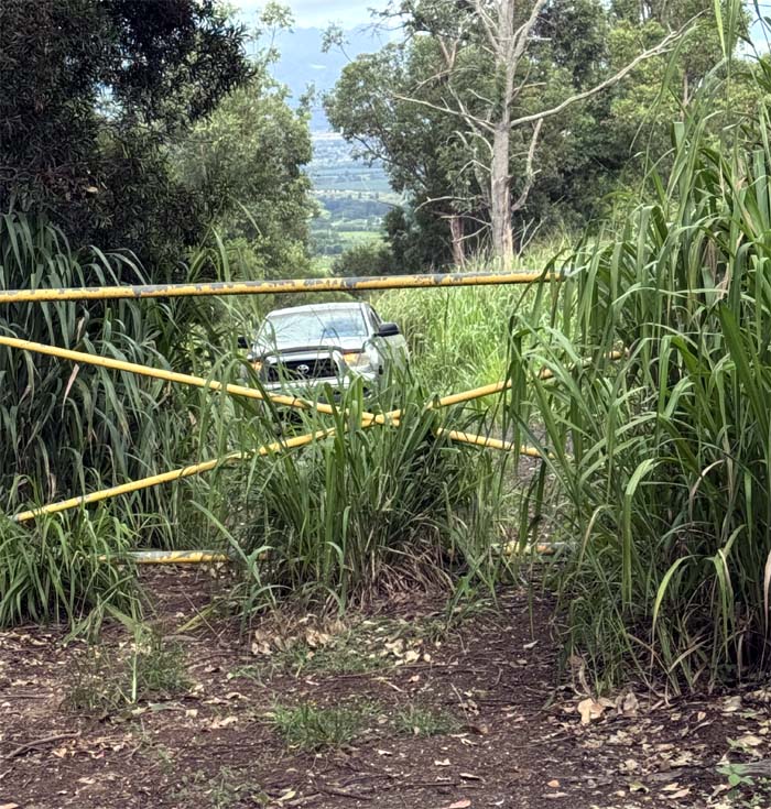
All pau
Thanks to Matt for picking us up and taking us back to our cars in Mililani.
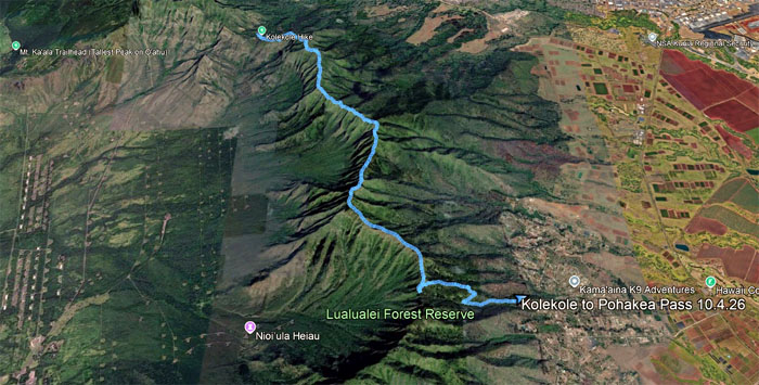
GPS Tracks
Our hike across part of the Waianae Mountain Range covered roughly 5.76 miles with fun friends. Post hike meal at Mililani Restaurant where somebody wanted to eat something off the menu.
Photos/Crew taken by Aileen Agustin, Akira Suzuki, Cristy CM, and yours truly. Not necessarily in order.
Note: I have been made aware that some hikers have been using my blog as a hiking guide and getting lost on the trails. Please note that this blog was made to document the hike for the crew(s) that did it. That is why some of my comments will seem to have no relevance or meaning to anybody outside of the crew(s) that hiked that trail. My blog was never meant as a hiking guide, so please do not treat it as such. If you find inspiration and entertainment from these hikes, that is more than enough. If you plan on replicating these hikes, do so in the knowledge that you should do your own research accordingly as trail conditions, access, legalities and so forth are constantly in flux. What was current today is most likely yesterdays news. Please be prepared to accept any risks and responsibilities on your own as you should know your own limitations, experience and abilities before you even set foot on a trail, as even the “simplest” or “easiest” of trails can present potential pitfalls for even the most “experienced” hikers. One should also always let somebody know of your hiking plans in case something doesn’t go as planned, better safe than sorry.

{ 0 comments… add one now }