
Our group consisting of Alex, Chris B, Chris C, Gen, Glenn, Jasmin, Ryan and myself met up with the HTMC for this normally restricted trail in Haleiwa. The combined group numbered at least two dozen. Our plan was to separate from the HTMC group at the Kawailoa summit and go down the Laie trail. Bernice, Erik and Patrick had the same idea. Hiking minds think alike.
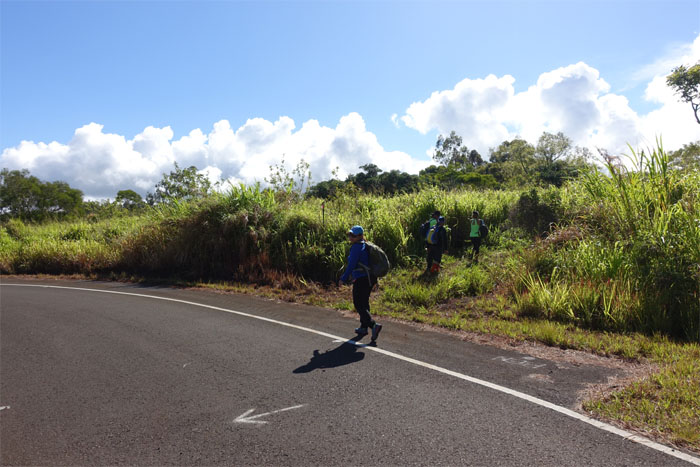
The less traveled road
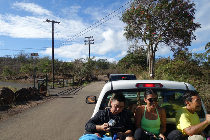
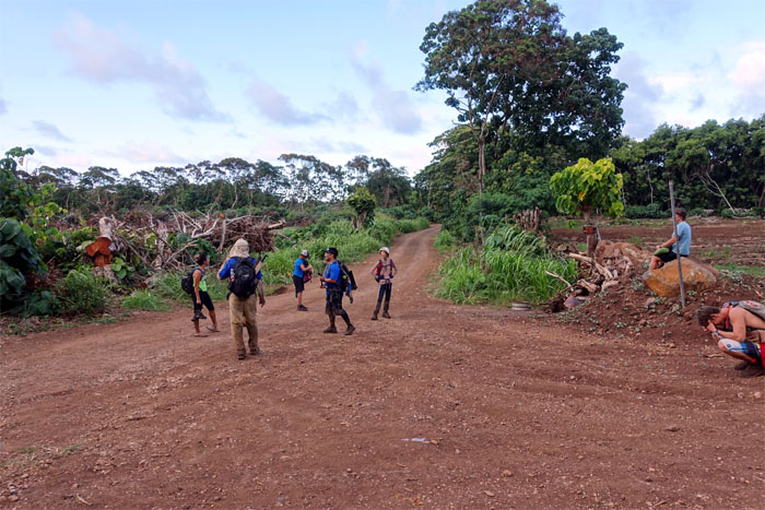
After Ralph, the HTMC hike leader, sorted out who were traversing the Koolaus and who was coming back, we all piled into several trucks to drive to the trailhead.
Don’t follow the arrow
Our truck was the last to reach the trailhead. We all jumped out and went into the bushes.

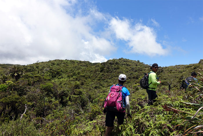
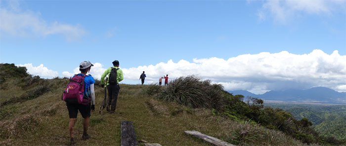
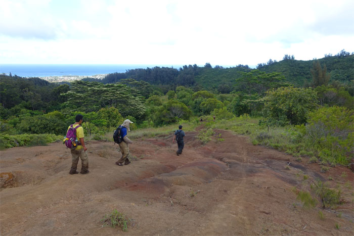
Open field
One of the HTMC hikers, Patrick, explained to us that the club encourages these hikes as they keep trails like these alive. The Wahiawa Camp of the Civilian Conservation Corps (CCC), a public work relief program to help out the unemployed during the Great Depression, built this trail back in 1934. Walking on history.
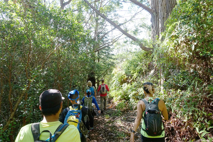
Cleared trail
The club had cleared roughly half the trail to the summit two weeks earlier. Made the initial hike a lot easier. No bushwhacking involved.
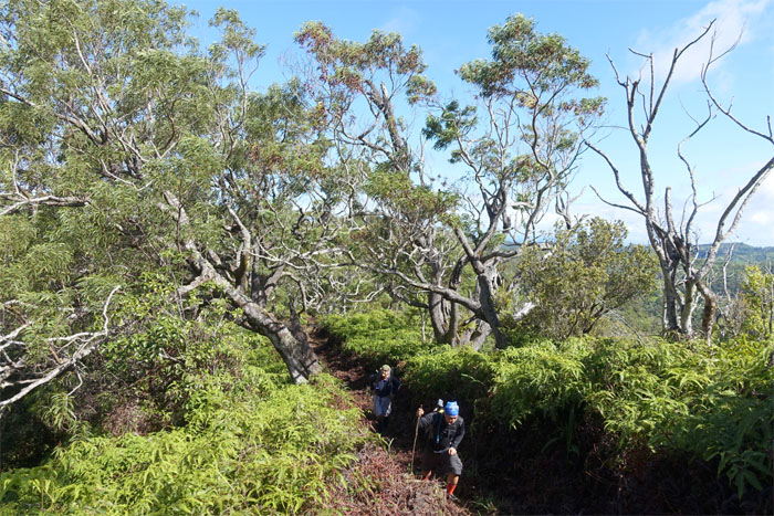
No breaks
The hiking pace was steady without breaks. Those HTMC hikers are hardcore! Gen was trying to catch up to Peg Foster, a silver haired hiker that put many of us to shame.
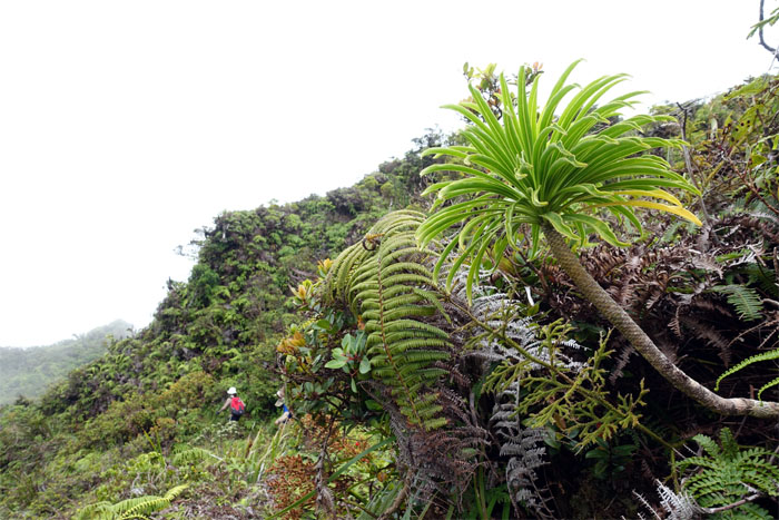
Uluhe
Glad the head high uluhe fern sections were cleared. Can’t imagine swimming through those thickets of forked ferns.
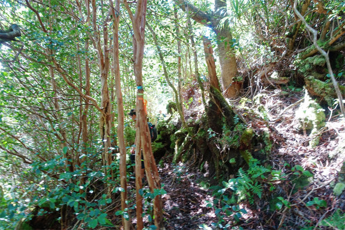
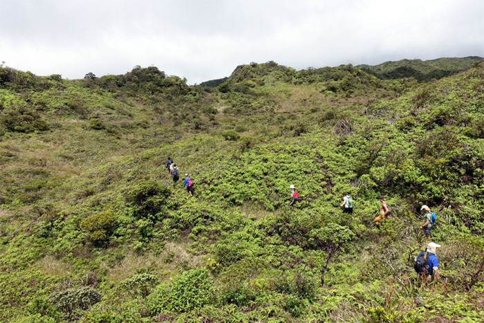
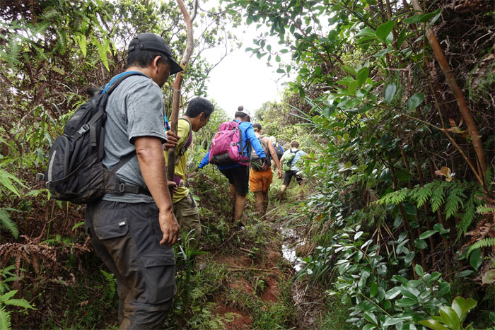
Not so cleared
The trail soon became muddier in terms of overgrowth and literally. But thanks to the hard work of Gordon Junior Lau and Roger Breton, who were on point bushwhacking to the summit, it was barely a blip as we pushed forward. The mud we couldn’t help but notice, thanks to its constant presence and the numerous shrieks from Nanae.

Kawailoa Wind Farm
Providing 69 megawatts of power to the public and bumping off bats and birds since 2012. Photo by Ryan Meyers.
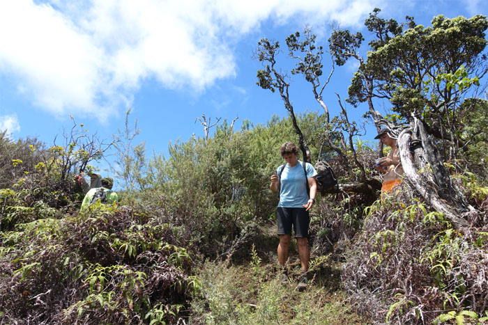
Lunch spot?
Patrick had designated this Australian tea grove as the turn around point for those not summiting. Dale, Nanae, Svenga and Wyatt decided to head to the summit with the rest of the group. The rest of the HTMC group, including Jasmin, turned around and went back down.
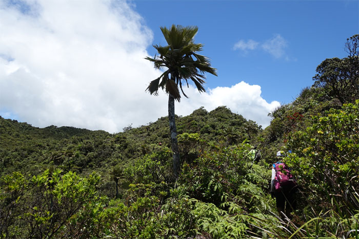
Loulou Palm Tree
Passing Hawaii’s only native palm tree. No, it’s not the coconut tree.
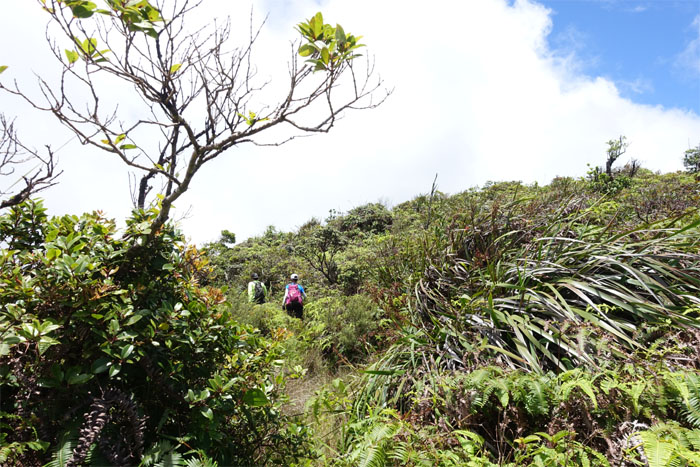
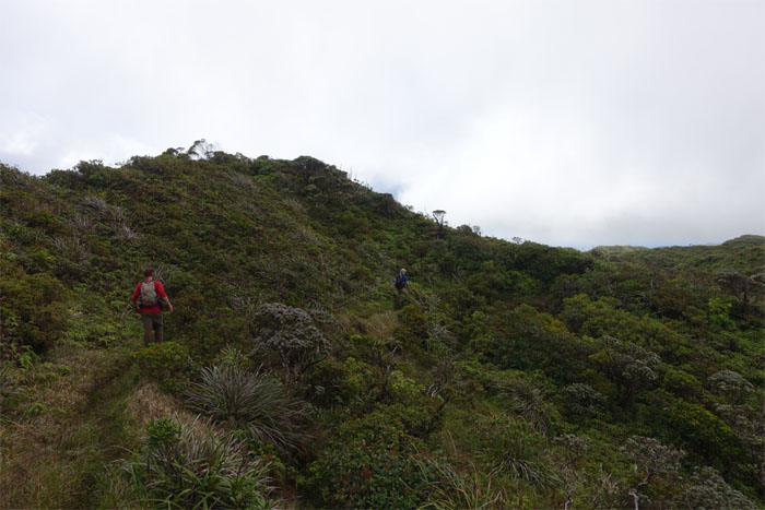
Ridge
We are getting close. Very close.
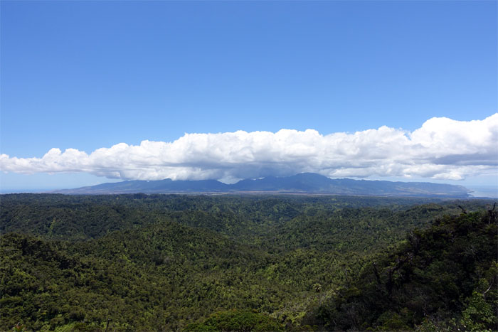
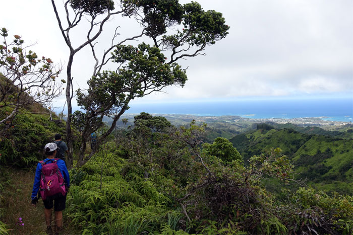
Waianae range
Coast to coast view. True wilderness country out there. No signs of civilization as far as the eye can see.
Final push
We found Gordon and Roger resting at the base of the summit after their exhausting bushwhacking drive to the summit. Big mahalo for their help.
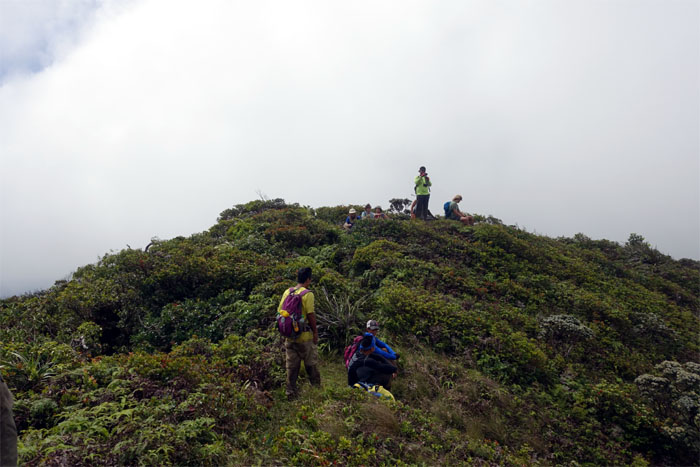
Kawailoa summit
Kudos to Dale for persevering and making it to the summit with us. Photo by Dale Yoshizu.
Helipad
Bernice and Chris B walking past the scattered planks of the Kawailoa helipad.
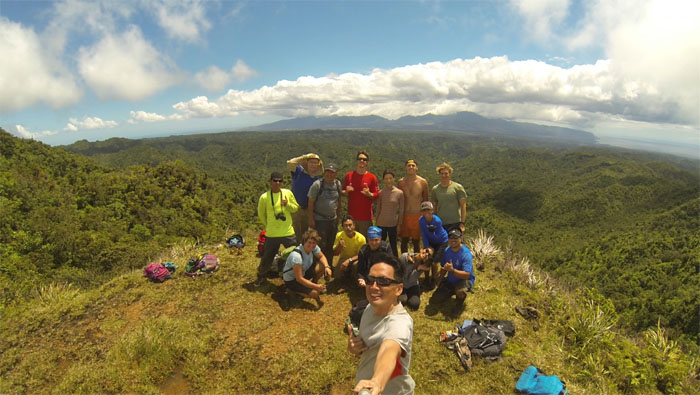
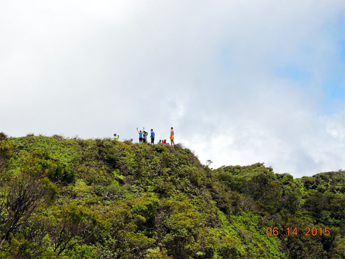
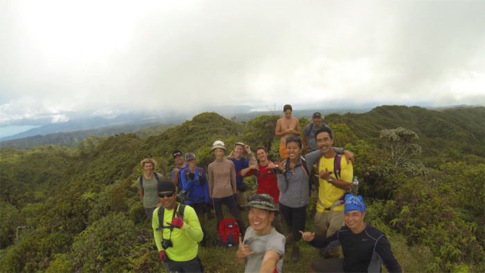
Kawailoa summit
Group photo at the 2,360′ summit. Standing left to right: Chris B, Patrick, Glenn, Ryan, Nanae, Wyatt and Alex. Crouching left to right: Svenga, Dale, Chris C, Gen, Bernice and Erik.
Pre-paid tickets?
The group making their way down the bowl shaped depression to gain the KST. Somebody didn’t have her pre-paid ticket to join us. I guess we can overlook it this one time.
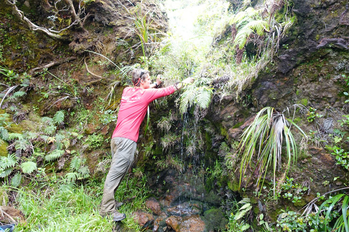
H20
Ryan filling up for the trip back down. Patrick showed us this handy water source in case we ever found ourselves parched in this neck of the woods. I also got to try out my spanking brand new Steripen. Ryan didn’t get sick, so I guess it worked.
KST
Patrick and Ryan making their way along the winding Koolau Summit Trail.
Laie summit
Another summit, another view. We can only hope.
Horse shoe
Group photo in the foxhole at the 2,240′ summit, right before the clouds wiped out the views.
Laie trail
Another CCC project that was finished in 1935, that was originally called the Wailele Trail.
Koolau Range lobelia
Only found on Oahu.
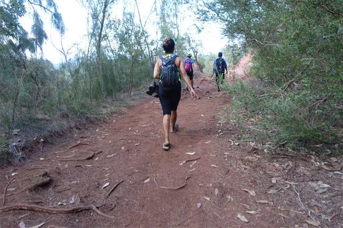
Mud trail
I was half expecting to hear more shrieks. Thankfully only the sounds of conversation floated through the air.
Landslide
The only notable landslide seen on the trail.
Laie
Going down, we noticed several trenches on the side of the trail that were dug by the Army in WW2 in case the Japanese invaded. They would have packed them with explosives to prevent the Japanese from using the trail. Now you know the rest of the story.
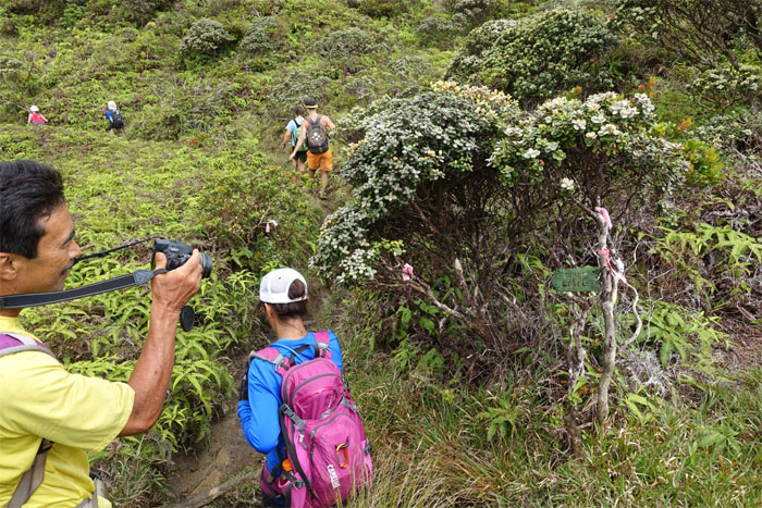
Follow the sign
The trail going down to Kahawainui Stream.
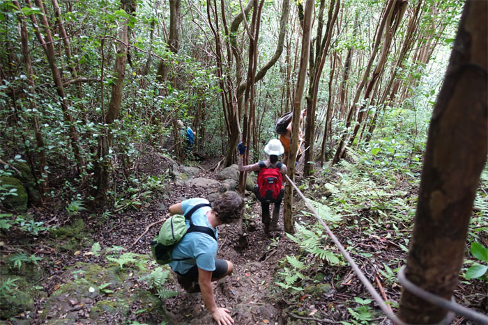
Going down
Descending down to the falls.
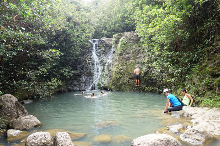
Swimming hole
Half of us jumped into the water and the other half cleaned their shoes and spikes.
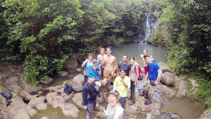
Laie Falls
Group photo at the 15′ waterfalls. Dale and Erik elected to stay topside and waited for us to come back up.
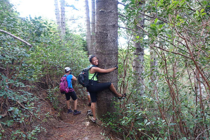
Tree hugger
Some people just have to hug.
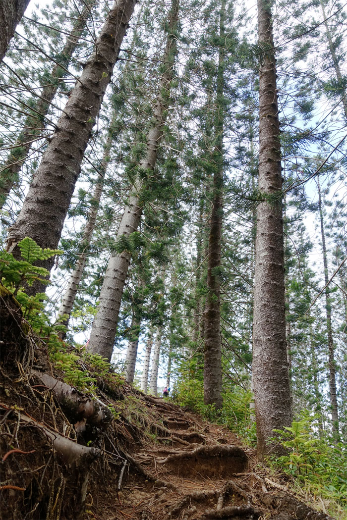
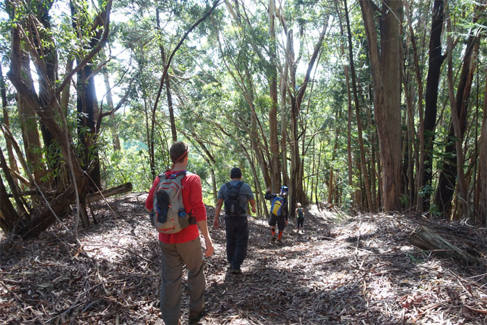
Cook or Norfolk?
Hiking through the towering conifers.
Dirt hiking
No dirt bikers on the trails today. We had it all to ourselves.
Casual hiking
Soggy shoes leads to slipper hiking.
All pau
The group taking a collective rest as we stepped off the official end/beginning of Laie trail. Now, it was just a short walk to our cars.
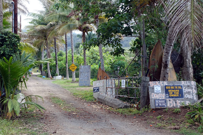
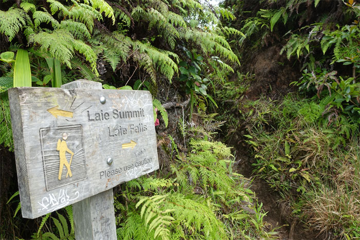
Got signs?
I think we got the message. The colorful signs and wording seemed to have been toned down from my last visit here.
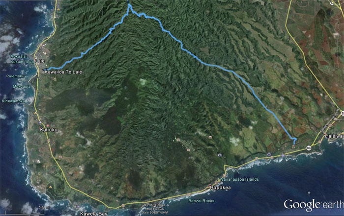
GPS Tracks
The crossing of the KST from Haleiwa to Laie covered 17.68 miles but a good 5 miles of that was paved road. Many thanks to HTMC for hosting and keeping trails such as these open for hikers. Post hike meal at Teddy’s Bigger Burgers. Happy hour. Happy hikers.
{ 6 comments… read them below or add one }
Hi Kenji. Looks like you had good weather on this hike! Hopefully it wasn’t too humid. . I just wrote a post on making trail signs…hence the fetish interest! http://hikingtrailshawaii.blogspot.com/2015/07/new-how-and-why-to-make-wooden-trail.html
I was keenly looking at the condition of the trail signs in your photos. That summit one looks more pau by the week
Aloha,
Bloggah.
Aloha Bloggah,
Thanks for stopping by. Yup, we were graced with nice weather on the trail and the summit sign is on its last legs. Nice informative post!
Mahalo
Hey Kenji, thanks for sharing! Do you need any permits or special permissions to access the Kawailoa Trail?
Aloha Brandon,
I believe you need permission to gain access to the trail. Clubs such as HTMC has been granted access in the past and you need to be a member of the club to join them.
Mahalo
I will be joining the HTMC on their hike June 19th! Mahalo Kenji
Aloha Brandon,
Great! Have fun!
Mahalo