
Looking for a short easy hike to do this weekend, I found it in the form of Kuaokala Trail. Thanks to Quan for letting me tag along with her group. Photo by Lahela.
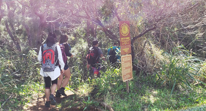
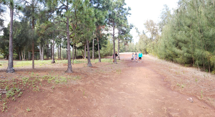
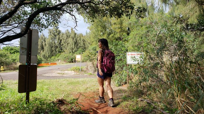
Trailhead
We found the road to Kaena Point closed due to high surf, but the road going up to the Kaena Point Tracking Station was still open for business. Our military escort took us to the trailhead where we parked and started our hike.
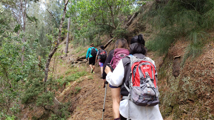
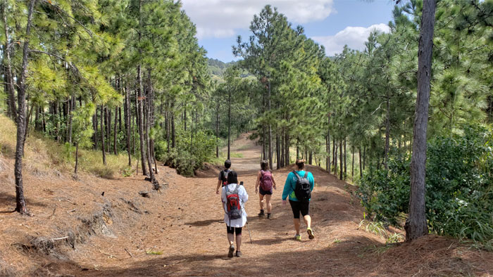
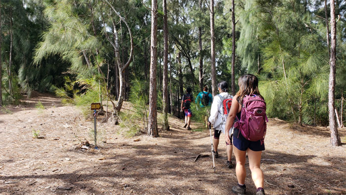
Trail
It was my first time setting foot on this trail …
Trail
… from this way.
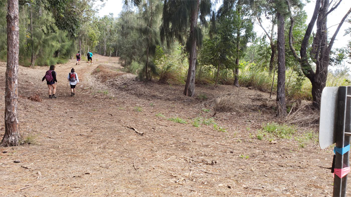
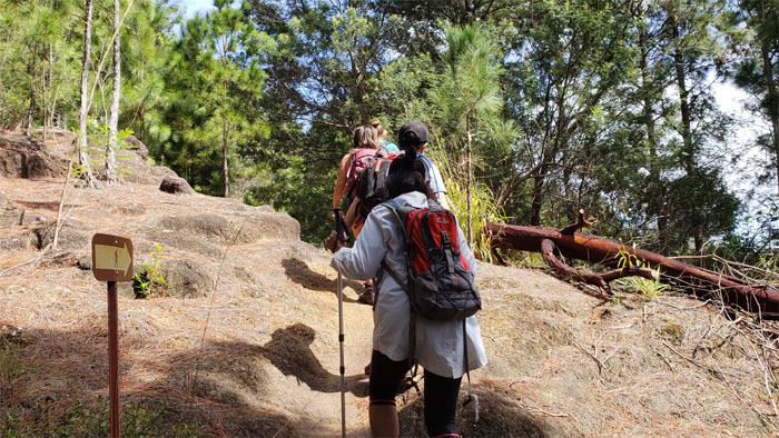
Junction
I always wondered what trail this was. Wonder no more.
Picnic Shelter
The tree was not doing a very good job of hiding Quan. Or was it the other way around?
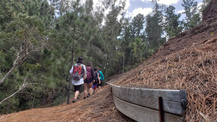
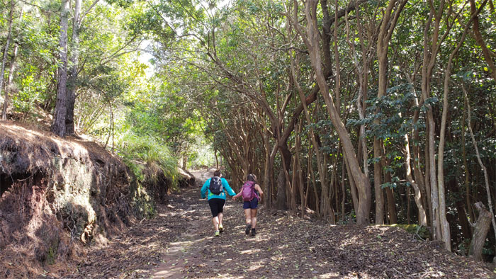
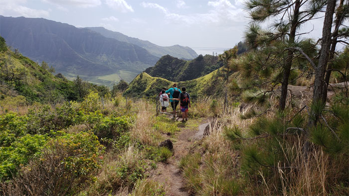
Trail
I still say this has got to be one of the widest trails on the island.
Helping hand
Lahela pulling Quan up the hill. What about the rest of us?
Junction
No mountain bikers seen today.
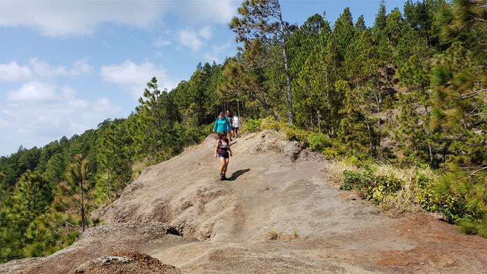
Trail
Somebody was standing on Quan’s “rock.”
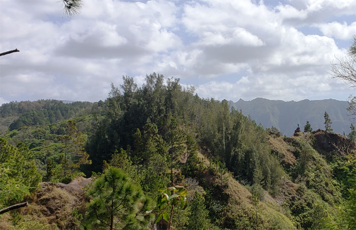
Trail
The group coming down the denuded section of the trail.
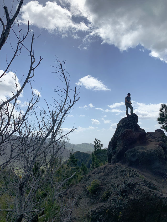
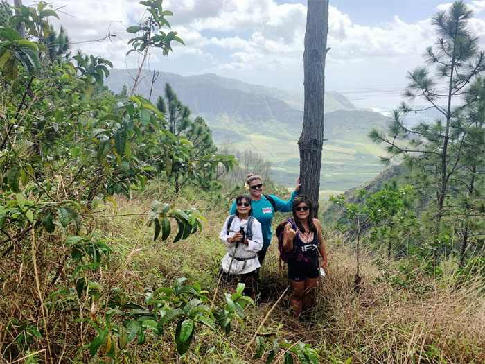
Shark Fin Rock
Waiting for some company on my lofty perch. Photo by Quan Haberstroh
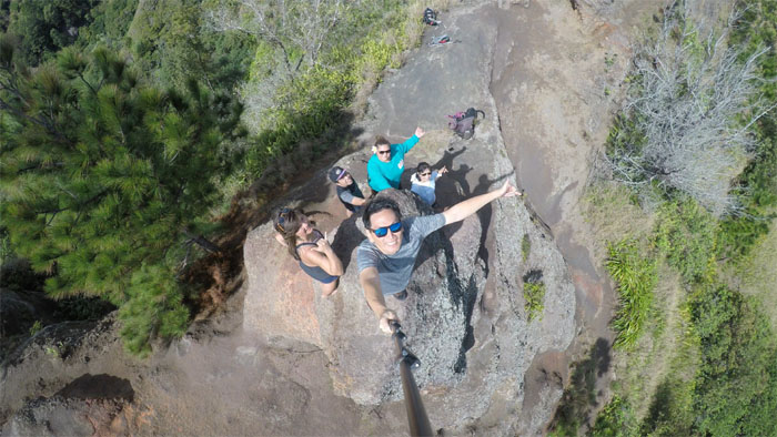
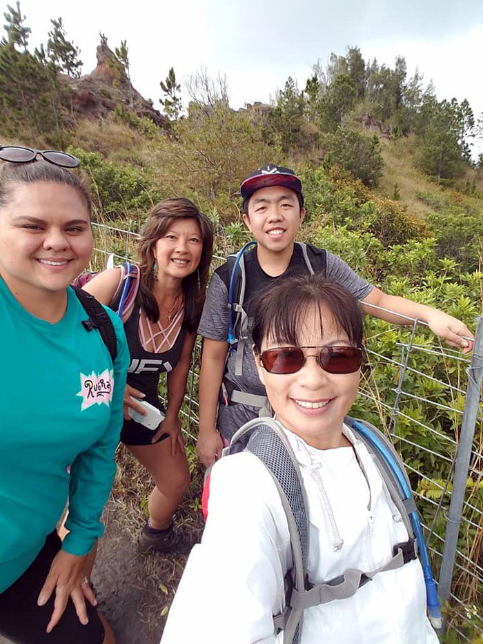
Shark Fin Rock
Group photo left to right: Quan, Ehjay, myself, Lahela and Lani.
Trail
Going over the fence to get to another fence.
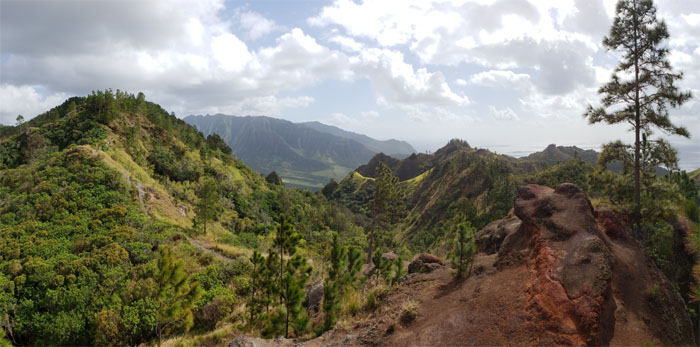
Makua Valley
Backdrop photo of the “parent” valley, where man was first created according to Hawaiian mythology, but now is home to unexploded military munitions. Photo by Ehjay.
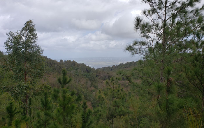
Kawailoa Wind Farm
Looking over into the pinwheels that populate Hawaii’s largest wind farm.
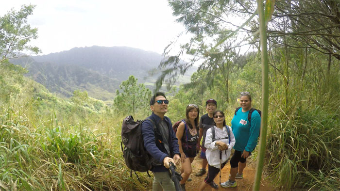
Lookout
We met another family at the fence line who had come up from Kealia Trail and attempted to take something that resembled a group photo before heading back.
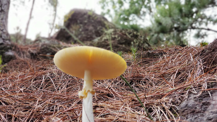
Wild Mushroom
Running across a flat topped shroom on our way back.
Trail
Watching the group make their way down the fence line back to the shark fin rock.
Trail
Group photo by Lani Ricasa. Nobody was left out.
Trail
Hello from the other side.
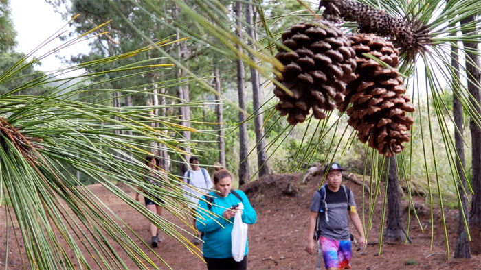
Pine cones
We collected some of the woody cones on the trail. Arts and Crafts.
Junction
Nobody wanted to take a walk on the wild side, so we went back down the signed junction.
All pau
Our 4.8 mile hike ended in the blink of an eye. Slight exaggeration. Nice hike on the West side. Post hike meal at Coquito’s. BYOB and BYOD (dessert).
Note: I have been made aware that some hikers have been using my blog as a hiking guide and getting lost on the trails. Please note that this blog was made to document the hike for the crew(s) that did it. That is why some of my comments will seem to have no relevance or meaning to anybody outside of the crew(s) that hiked that trail. My blog was never meant as a hiking guide, so please do not treat it as such. If you find inspiration and entertainment from these hikes, that is more than enough. If you plan on replicating these hikes, do so in the knowledge that you should do your own research accordingly as trail conditions, access, legalities and so forth are constantly in flux. What was current today is most likely yesterdays news. Please be prepared to accept any risks and responsibilities on your own as you should know your own limitations, experience and abilities before you even set foot on a trail, as even the “simplest” or “easiest” of trails can present potential pitfalls for even the most “experienced” hikers.
{ 0 comments… add one now }