

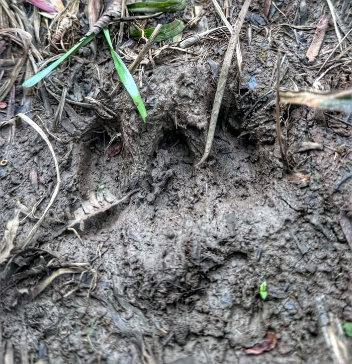
We camped this weekend in the mountains to find out how the aina had weathered the back to back storms. Nothing like first hand experience instead of second hand reporting.
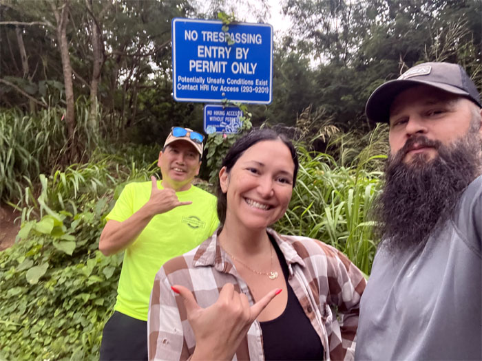
Laie Trail
Thanks to Stephanie for dropping us off directly at the trailhead and it turned out that bouncing around on the jeep road in a jeep was more appropriate than a Jetta.
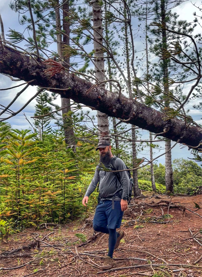
Laie Trail
Passing underneath a fallen pine tree that are directly descended from the original trees planted in the 1920s to help with reforestation and water retention.
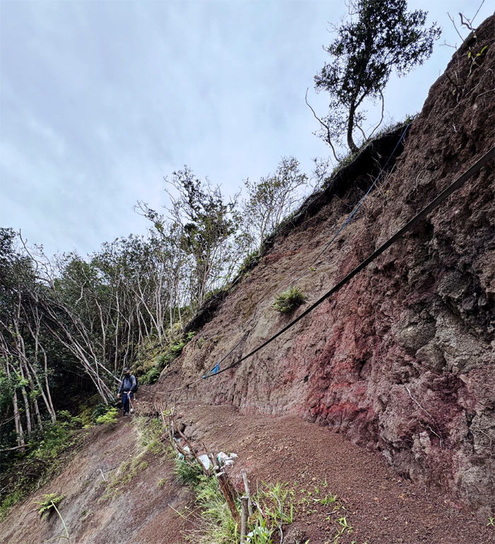
Laie Trail
Crossing over the old landslide where reinforced posts and sandbags are installed to help retard erosion or staving off the inevitable.
Laie Falls
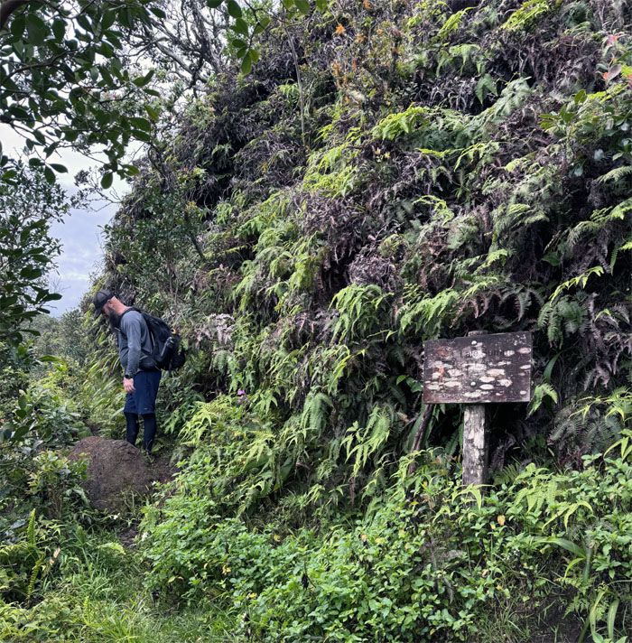
Passing the weathered sign that leads down to Wailele Stream. No skinny dipping today.
Laie Trail
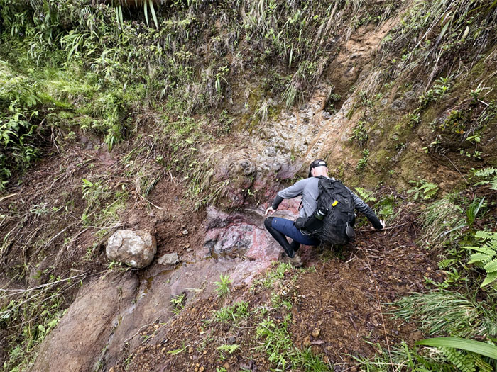
Scott crossing over another old landslide.
Laie Trail
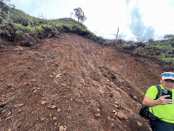
Traversing over a relatively “fresh” mass wasting.
Laie Trail
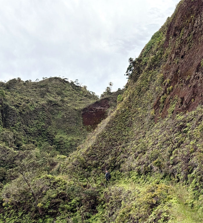
Hiking the trail bordered by a steep cliff on the right and sharp drop offs to the left.
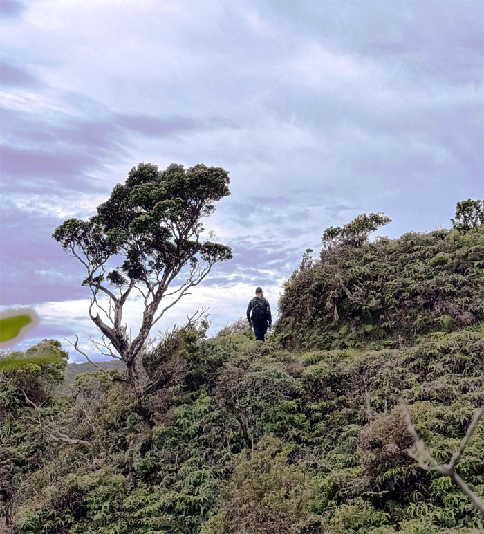
Laie Trail
Scott rounding the exposed ridgeline that soon gave way to uneven terrain and overgrowth.
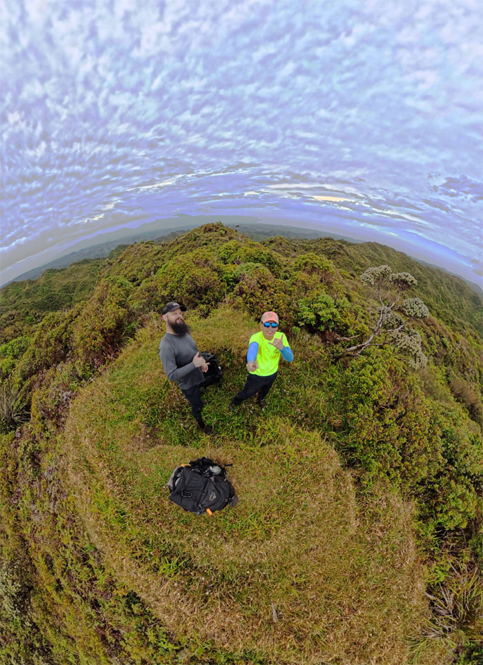
Laie Summit
Enjoying the exceptionally clear day from the 2,240′ foxhole.
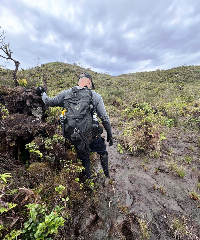
Ko’olau Summit Trail (KST)
Scott trying to avoid the mud pits that dot the landscape as we crossed over the bowl shaped depression to make contact with the ubiquitous fence line. Love them or hate them. They are here to stay.
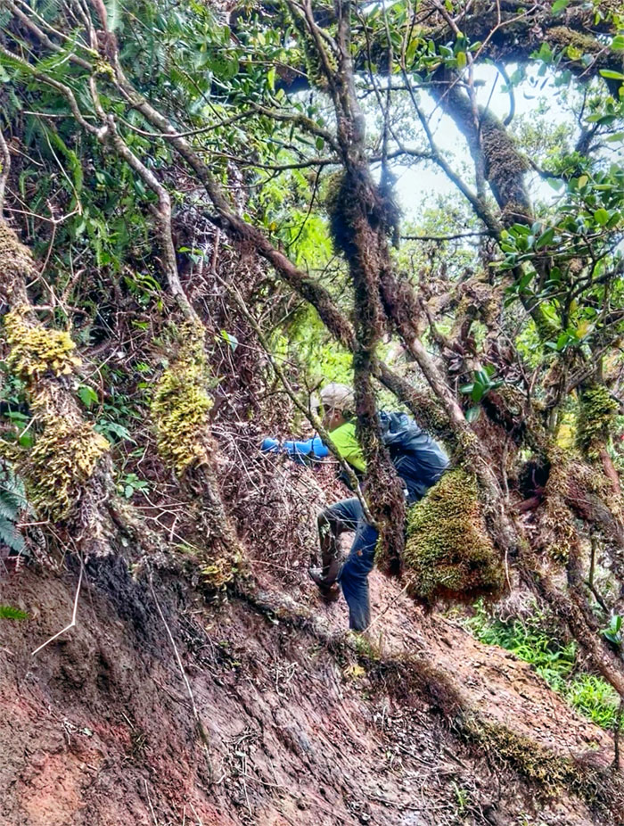
KST
Using the fence line to traverse our way across the section that was wiped out by a landslide. Love them.
KST
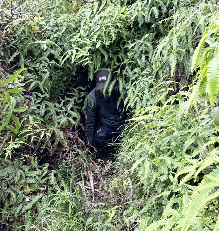
Scott pushing his way through a patch of uluhe ferns that had clogged the trail.
KST
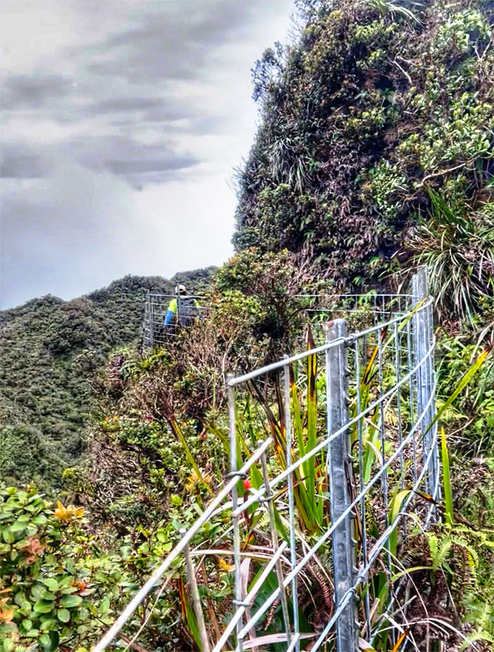
Following the fence line as the trail wound its way through the mountains.
KST
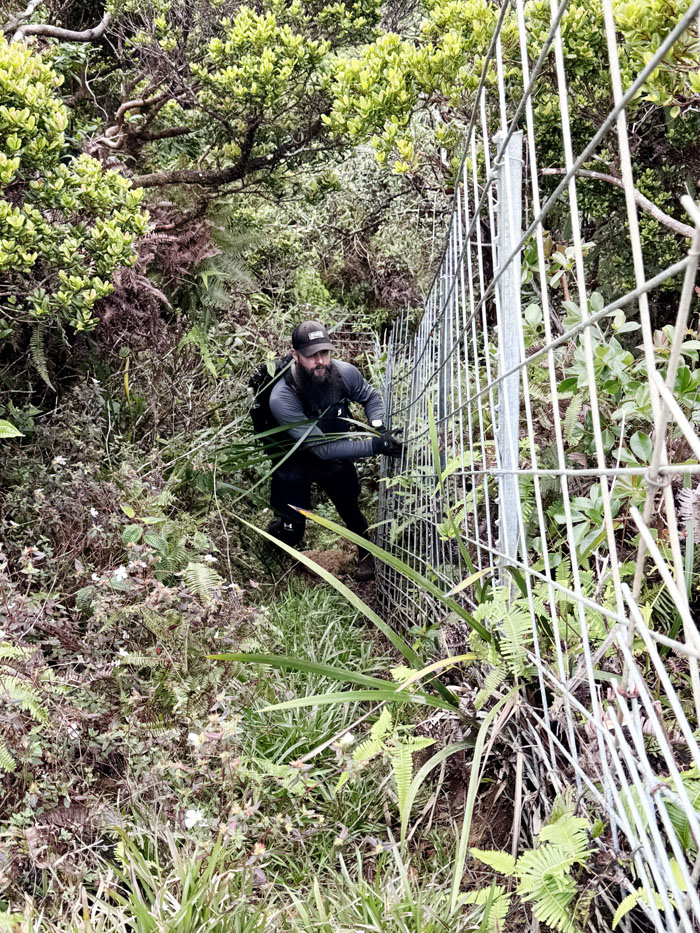
Scott climbing up one of the few incline sections on the trail.
Koloa Cabin
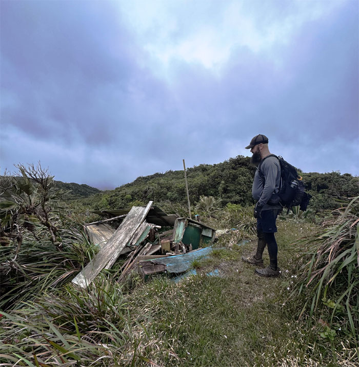
Walking past the collapsed outhouse that was taken down by either an explosive fart, the big bad wolf or successive storms.
Koloa Cabin
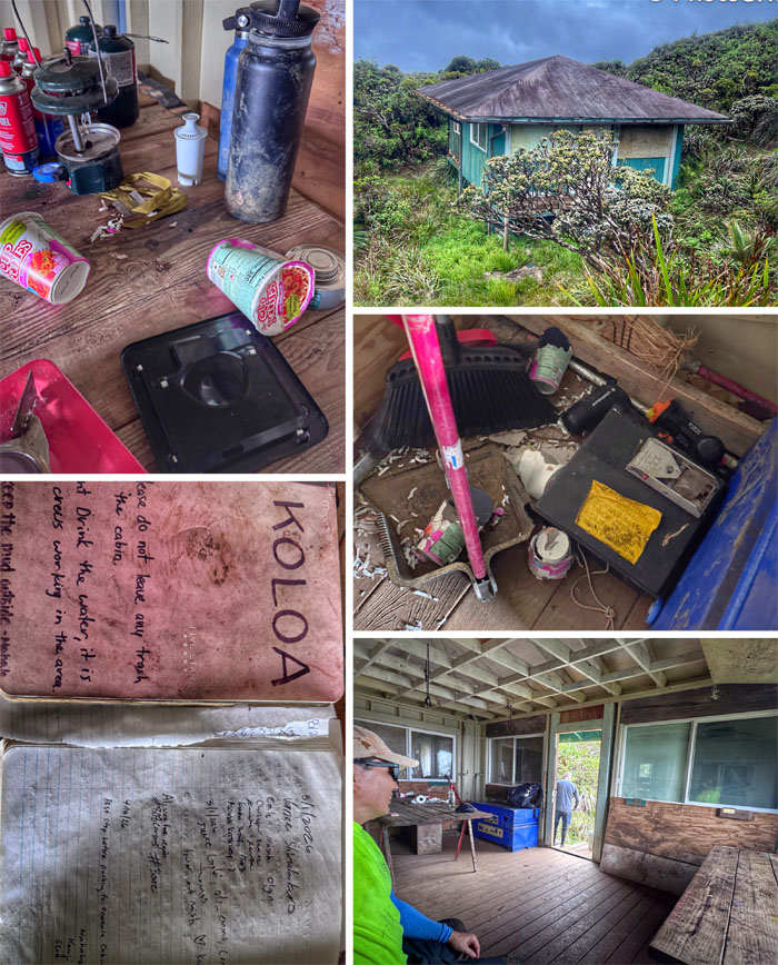
Checked out the largest cabin on the KST where somebody had left a stockpile of enough butane fuel to ride out the zombie apocalypse and rats had ravaged the stock of cup of noodles left behind.
Koloa Cabin
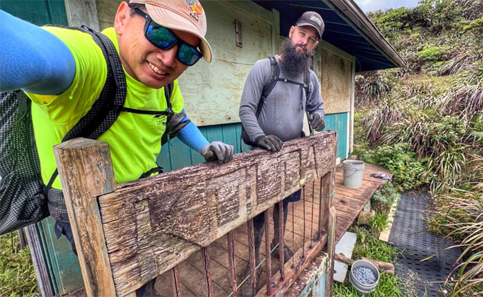
Taking a photo with the native duck sign.
KST
Back on the muddy trail.
KST
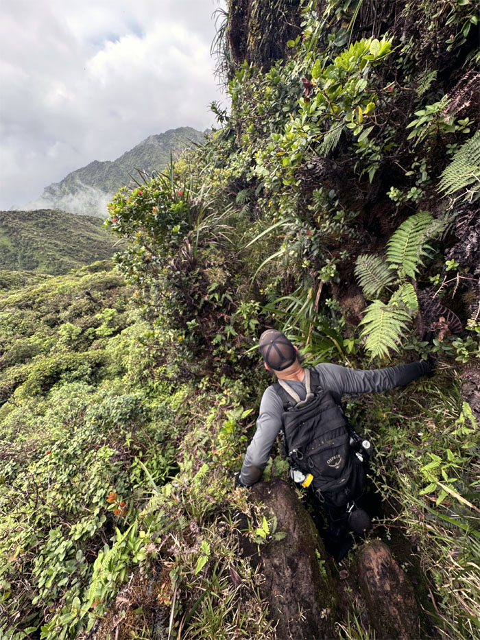
Scott climbing in and out of the notch.
KST
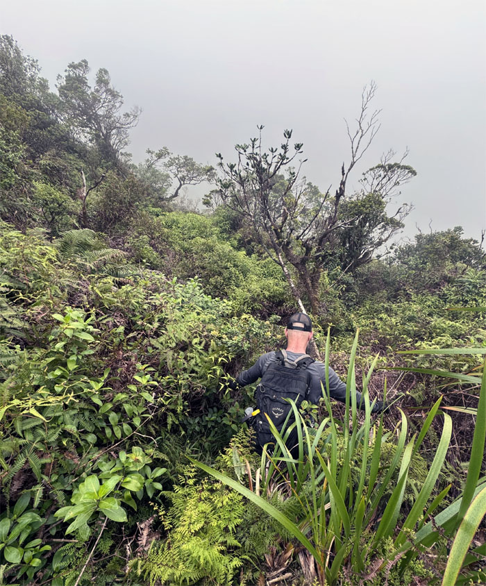
The trail overgrowth was cloying, stifling and at times confusing. We also heard a snort and rustling in the bushes which soon lead us to do our best impression of Who Let the Dogs Out.
Papali Summit
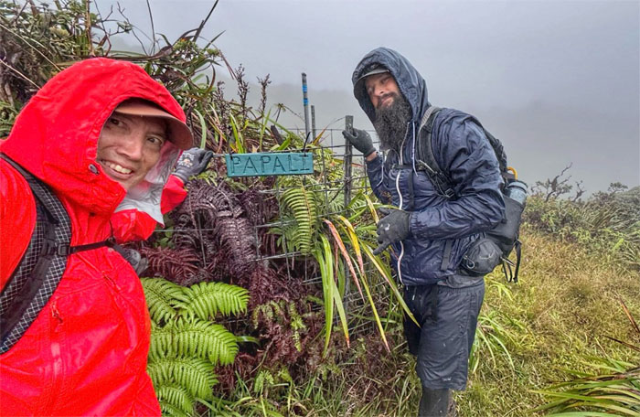
Rain soon replaced sunshine which flipped the weather narrative.
KST
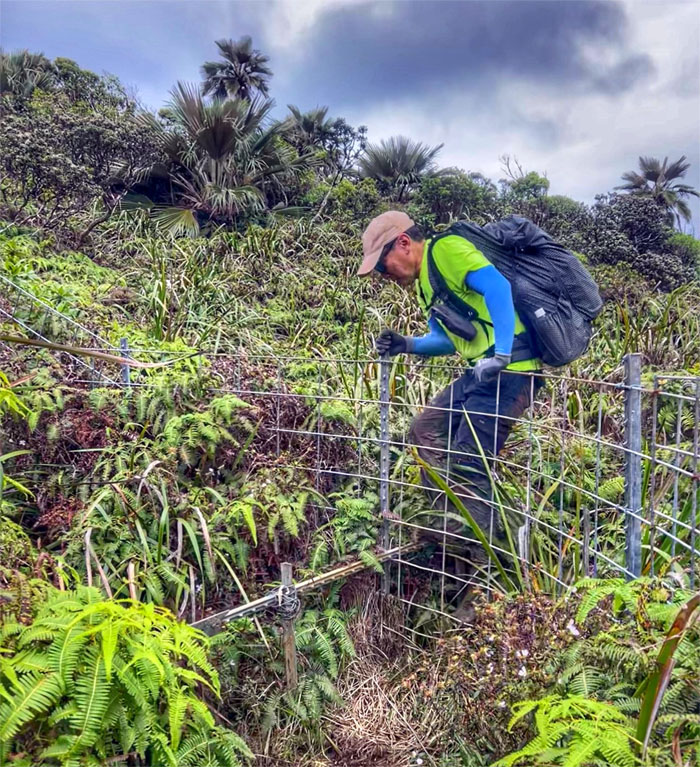
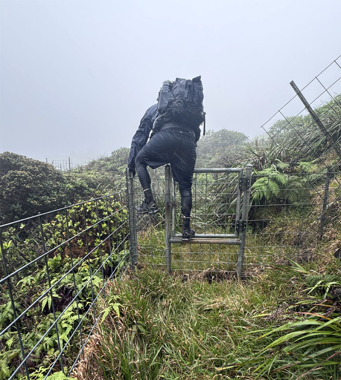
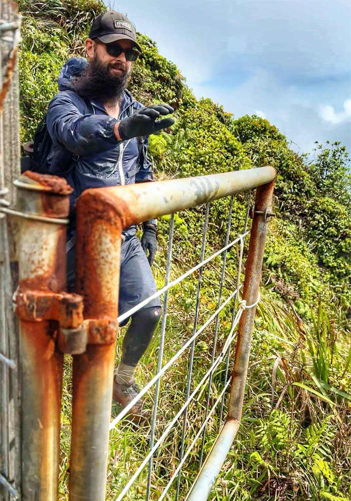
When the gate is rusted shut, one has to climb over.
Opaeula Cabin
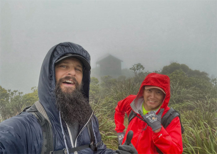
Cabin sweet cabin for the night.
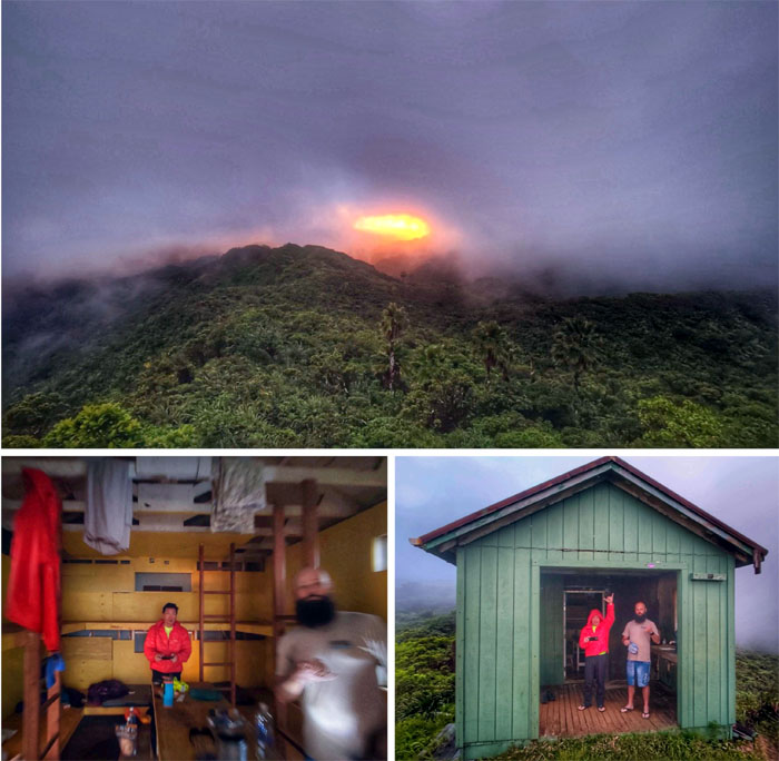
Opaeula Cabin
Cloudy weather denied us the normal views of the spectacular sunset. But hey, we had a roof over our head and water for the night.
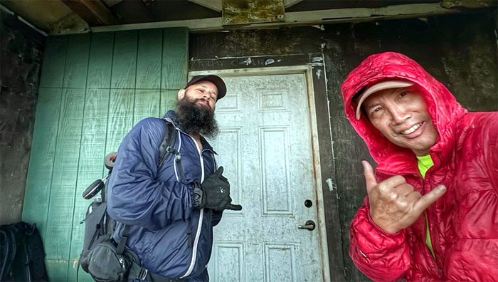
Opaeula Cabin
Day 2
We woke up the next morning, swept out the cabin and took our leave to be greeted by the typical mountain weather.
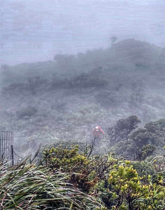
Opaeula Cabin
Hiking in the morning mist. Not good for people with respiratory problems. Luckily we did not suffer from those ailments.
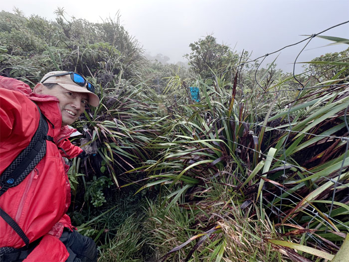
KST
Passing the “rabbit hole” with the new and old signs.
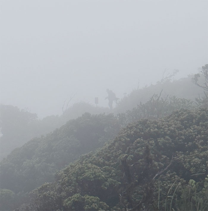
KST
The forecasted rain was being substituted with suspended water droplets. No complaints here.
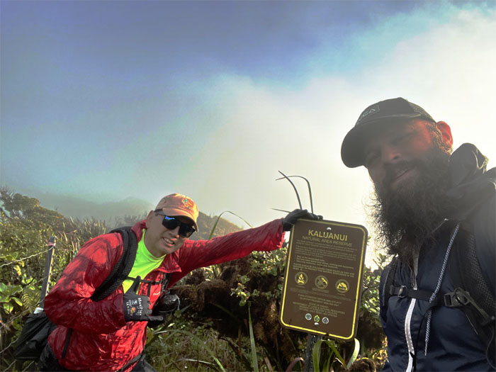
KST
Passing through the Kaluanui Natural Area Reserve which sprawls over 378 acres that was established to protect the 29 native endangered or rare species that call this place home.
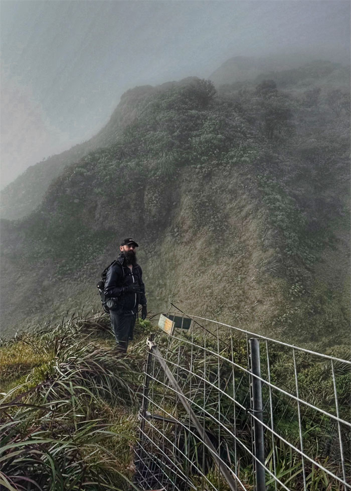
KST
Scott at the start of what I like to call the “rolling hills.”
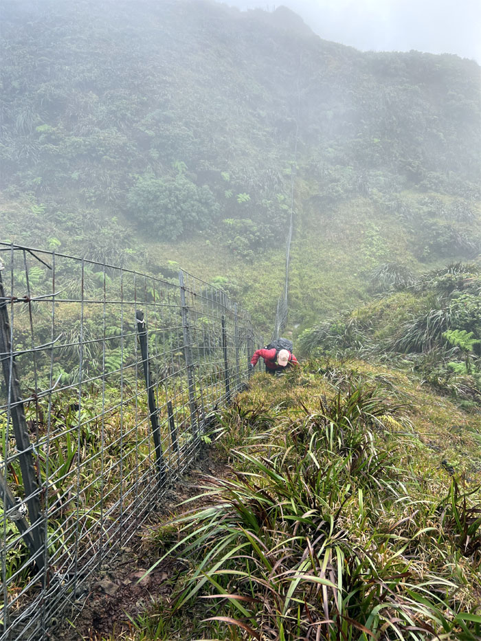
KST
Case in point.
KST
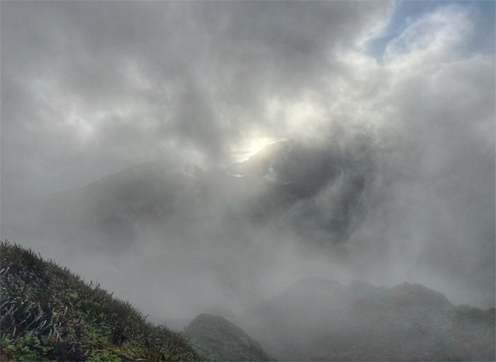
The sun was fighting the clouds. Where is Maui when you need him?
KST
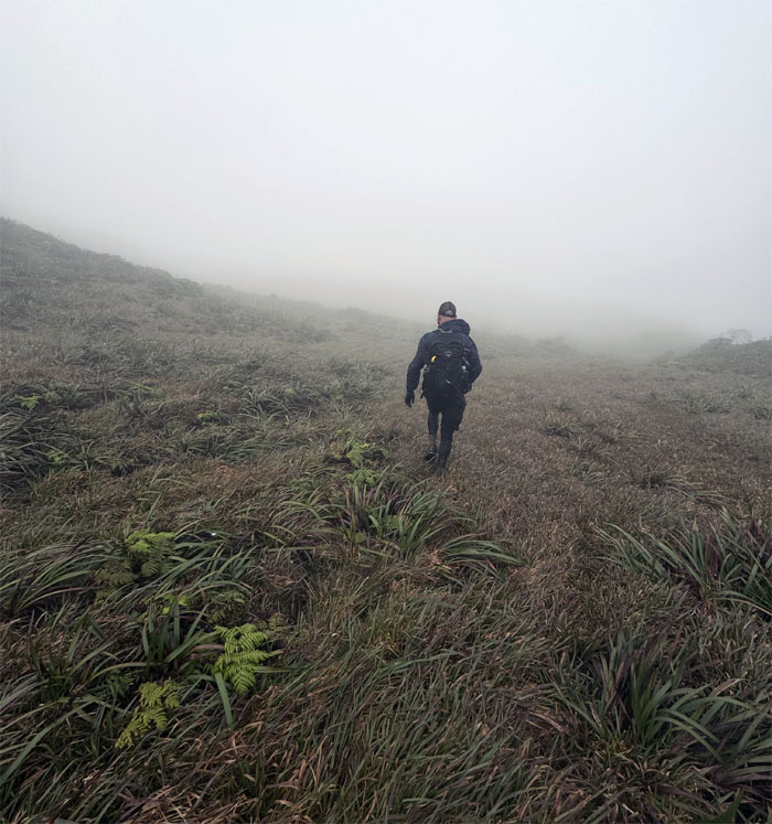
Crossing the spongy and windswept meadow as we made our way to the other fence line.
KST
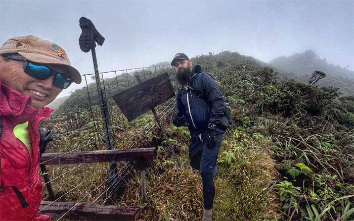
Break at the iconic boot and sign, both which have seen better days.
KST
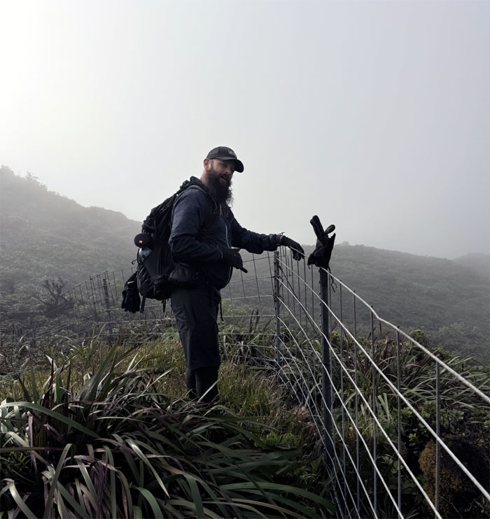
Manipulating the battered glove to show aloha instead of “flipping” off traveling hikers.
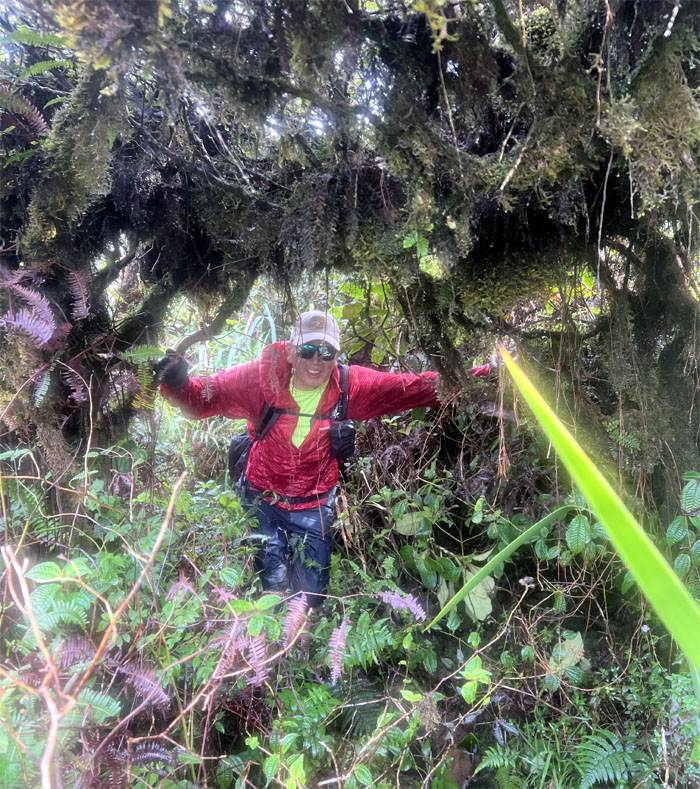
KST
We left the fence line to stay closer to the ridgeline.
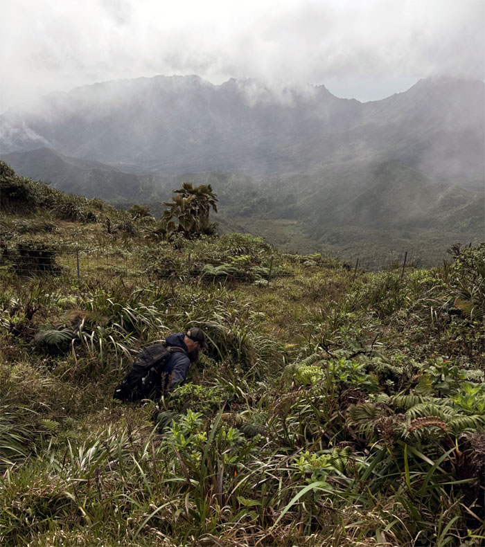
KST
Back on the fence line.
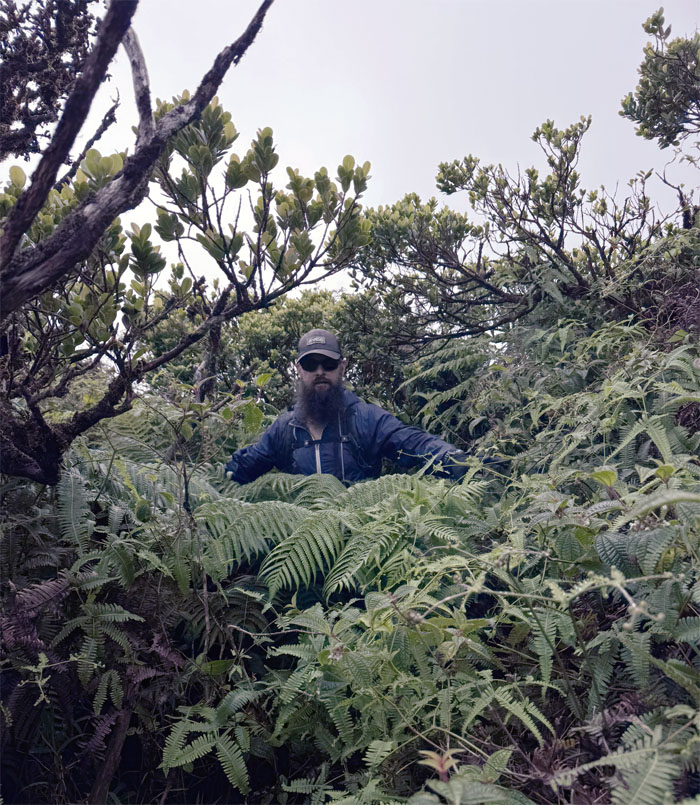
KST
The overgrowth gone wild which masked parts of the trail. One has to literally put their nose on the ground to see trampled vegetation which usually marks the way.
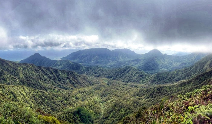
KST
Enjoying the splendid views as we contoured below the ridgeline.
KST
Scott leaving the overgrown trail behind him, or so he thought.
Poamoho Summit
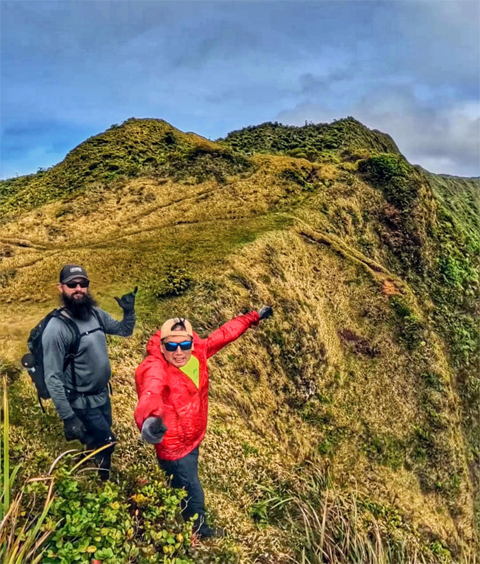
Enjoying the windy and breathtaking views from the 2,520′ grassy hump.
Poamoho Summit
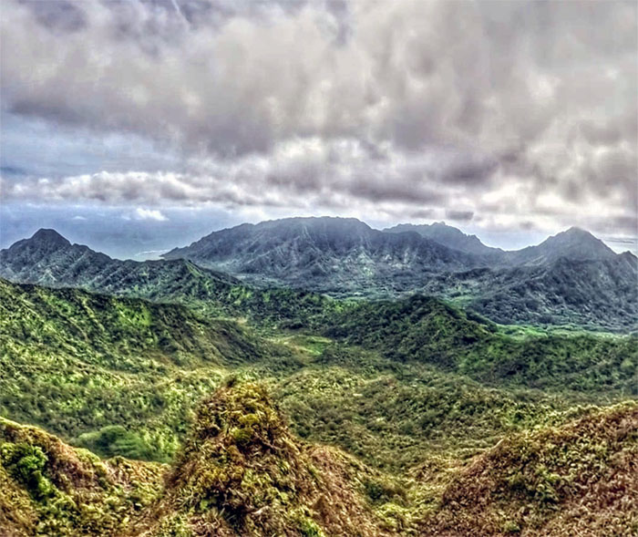
Looking out towards Punalu’u and Kahana Valleys.
Poamoho Summit
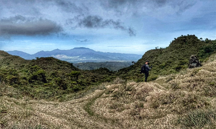
Scott passing the Cline Memorial and views of the Waianae Mountains as we left the summit.
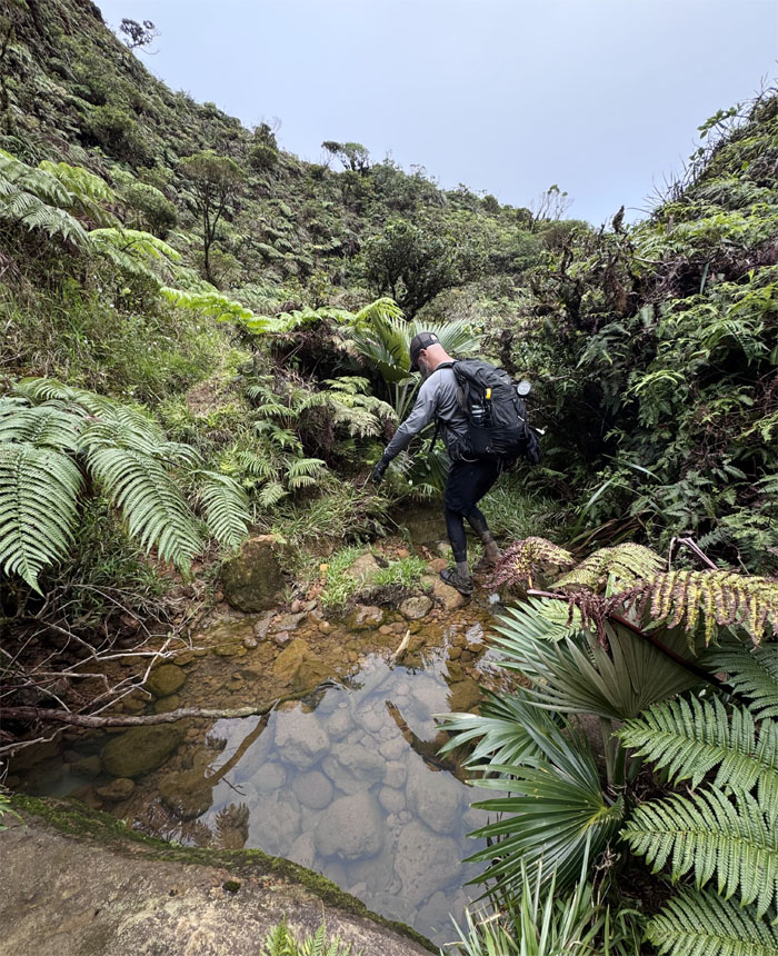
Poamoho Trail
Crossing over the still stream.
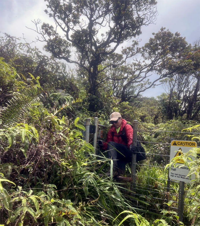
Poamoho Trail
I’m glad we are leaving the unmaintained trail for the maintained trail. We were in for a rude shock.
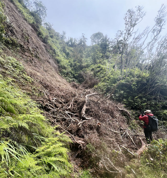
Poamoho Trail
Approaching our first unstable slope that was easily traversed.
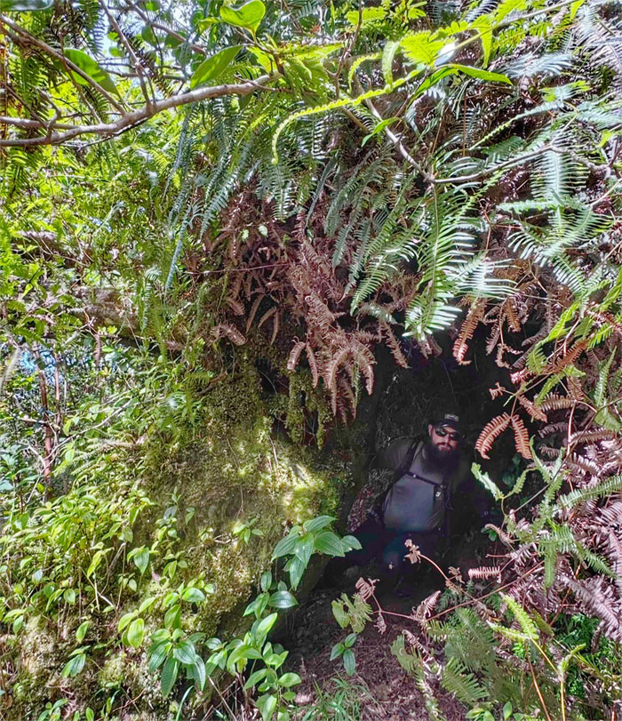
Poamoho Trail
The most pressing problem seems to be is that the overgrowth has overtaken the trail.
Poamoho Trail
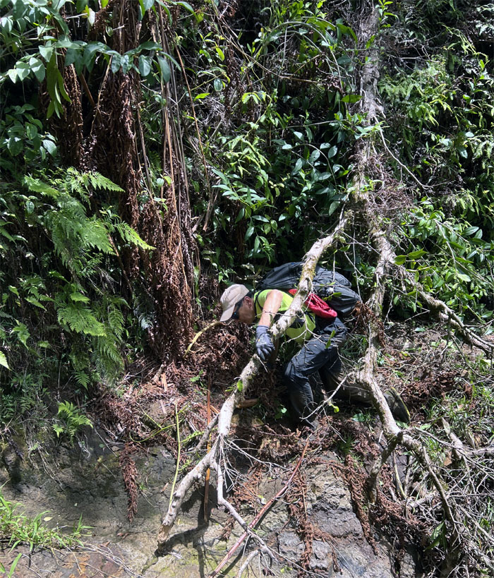
Not to mention the numerous blowdowns that blocked and littered the trail. The more glaring concern is that the feral pigs have run rampant on the trail, evidence of their rooting was seen spaced out on the trail at roughly 50′ intervals.
Poamoho Trail
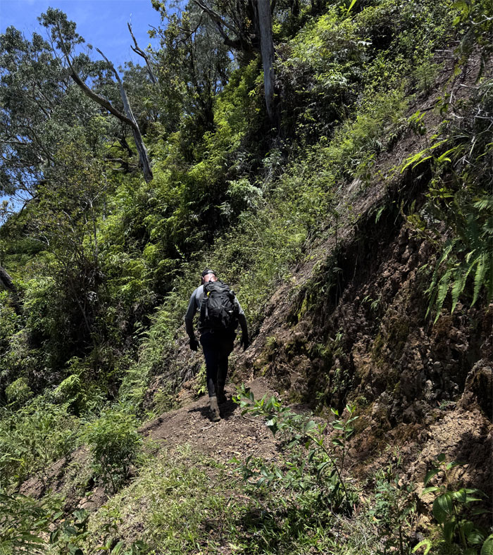
Scott walking over the second landslide.
Poamoho Trail
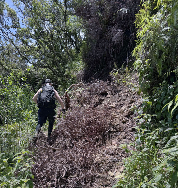
Skip, hop and a jump over the third landslide littered with accompanying plant life in varying forms of decay.
Poamoho Trail
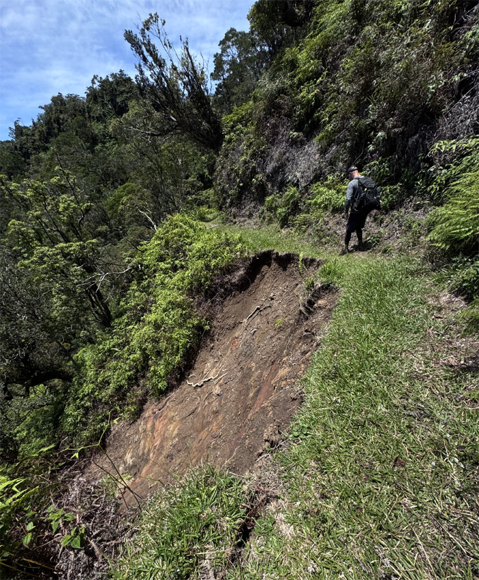
Traversing over what’s left of the trail as the bottom slope had slid down to the stream below.
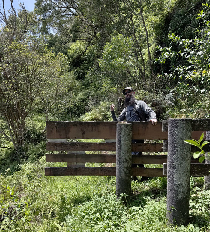
Poamoho Trail
Not out of the woods yet.
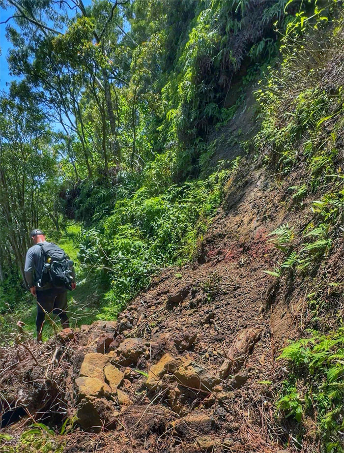
Poamoho Trail
Scott crossing over the final landslide on the trail.
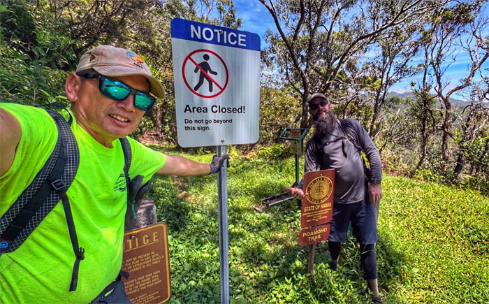
Poamoho Trail
It doesn’t work if you come from the other direction.
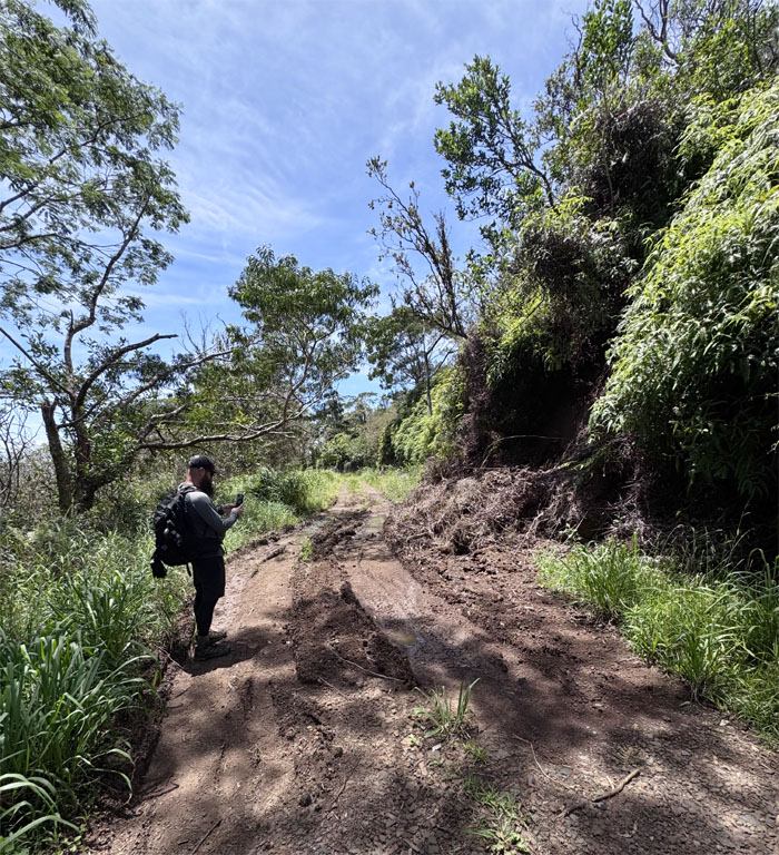
Poamoho Road
Passing another landslide on the jeep road as we walked our way down.
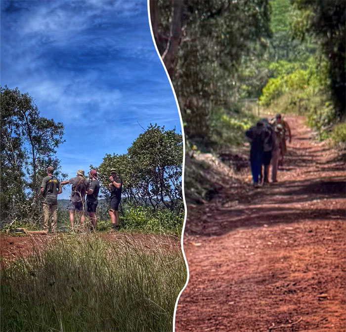
Poamoho Road
Active shooters?
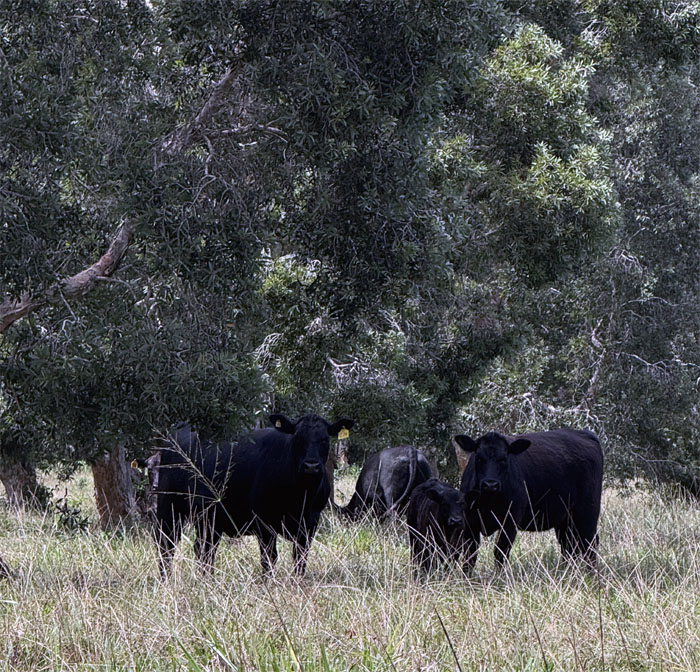
Poamoho Road
I’m glad the cows decided to stay in their lane.
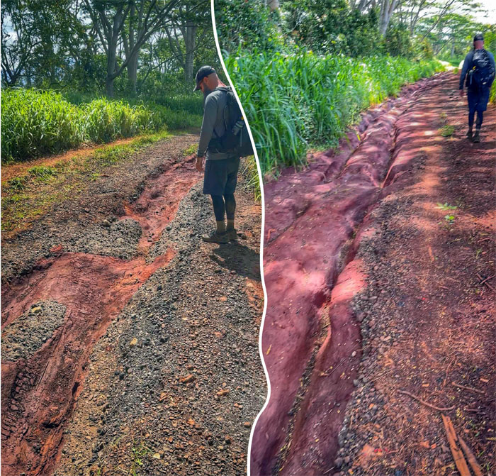
Poamoho Road
Runoffs have severely eroded and rutted the lower parts of the road.

Poamoho Road
I’m glad I’m not a cow or I wouldn’t be able to traverse over the cattle guards.
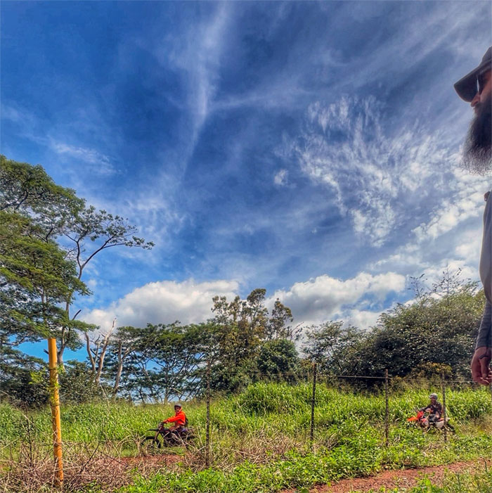
Poamoho Road
The dirt bikers were having a field day as they had the road all to themselves.
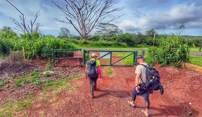
All pau
Approaching the exit as we started and ended our weekend hike under 2WD. Thanks to Edgar and Stephanie for picking up our hygienically challenged bodies.
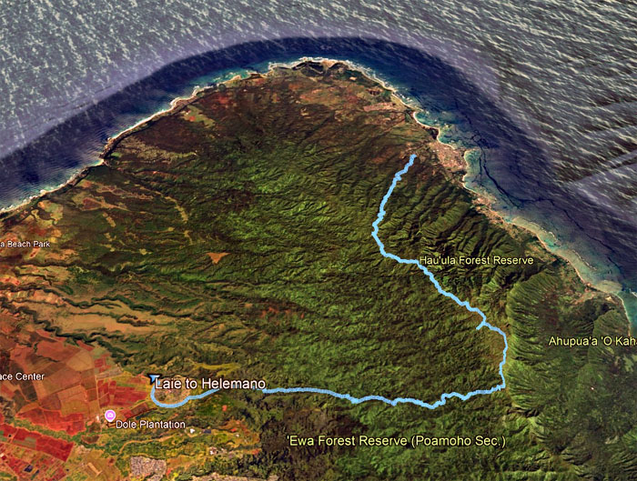
GPS Tracks
Our camping weekend covered close to 22 miles through mud, landslides, overgrowth, rain, sunshine and jaw dropping views. Or in other words, a typical weekend on the KST. Post hike meal at Chicken in a Barrel, where the chicken is still smoked but the carbonated beverages are served from a bar.
Photos/Crew taken by Scott Peterson and yours truly. Not necessarily in order.
Note: I have been made aware that some hikers have been using my blog as a hiking guide and getting lost on the trails. Please note that this blog was made to document the hike for the crew(s) that did it. That is why some of my comments will seem to have no relevance or meaning to anybody outside of the crew(s) that hiked that trail. My blog was never meant as a hiking guide, so please do not treat it as such. If you find inspiration and entertainment from these hikes, that is more than enough. If you plan on replicating these hikes, do so in the knowledge that you should do your own research accordingly as trail conditions, access, legalities and so forth are constantly in flux. What was current today is most likely yesterdays news. Please be prepared to accept any risks and responsibilities on your own as you should know your own limitations, experience and abilities before you even set foot on a trail, as even the “simplest” or “easiest” of trails can present potential pitfalls for even the most “experienced” hikers. One should also always let somebody know of your hiking plans in case something doesn’t go as planned, better safe than sorry.

{ 0 comments… add one now }