
Our camping weekend was a working case of what can go wrong and right at the same time.
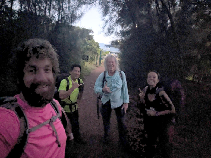
Trailhead
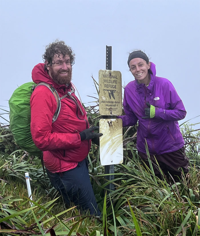
Met up with Amber, Doug and Thomas in the cat village at the top of Pacific Palisades. My original group of five had shrunk to two and Amber’s group had shrunk to two as well, and they were supposed to have started from Poamoho. Two groups passing in the night. In the end, we decided to combine our groups, which turned out to be fortuitous in the end. I also gave fair warning that I had some bad food and that might compromise my already slow pace, which would manifest itself later in the weekend.
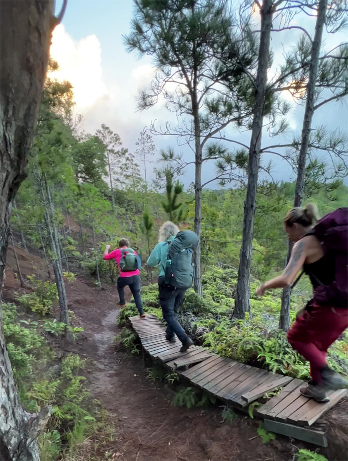
Manana Ridge Trail
Rolling off the bike ramp. Imagination can take you a long way. And then cardio reality hits
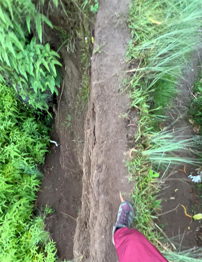
Manana Ridge Trail
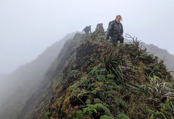
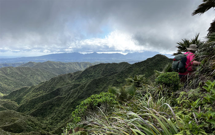
The most dangerous part of the trail.
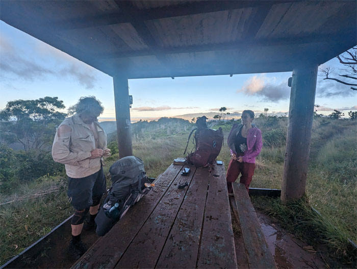
Manana Ridge Trail
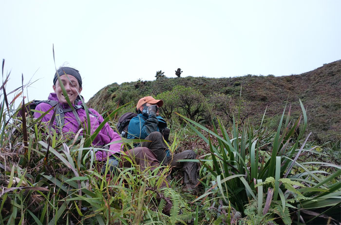
Adjusting and organizing at the picnic shelter.
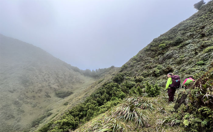
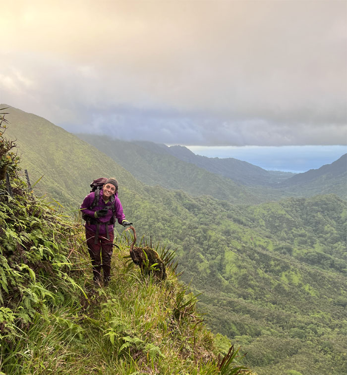
Manana Ridge Trail
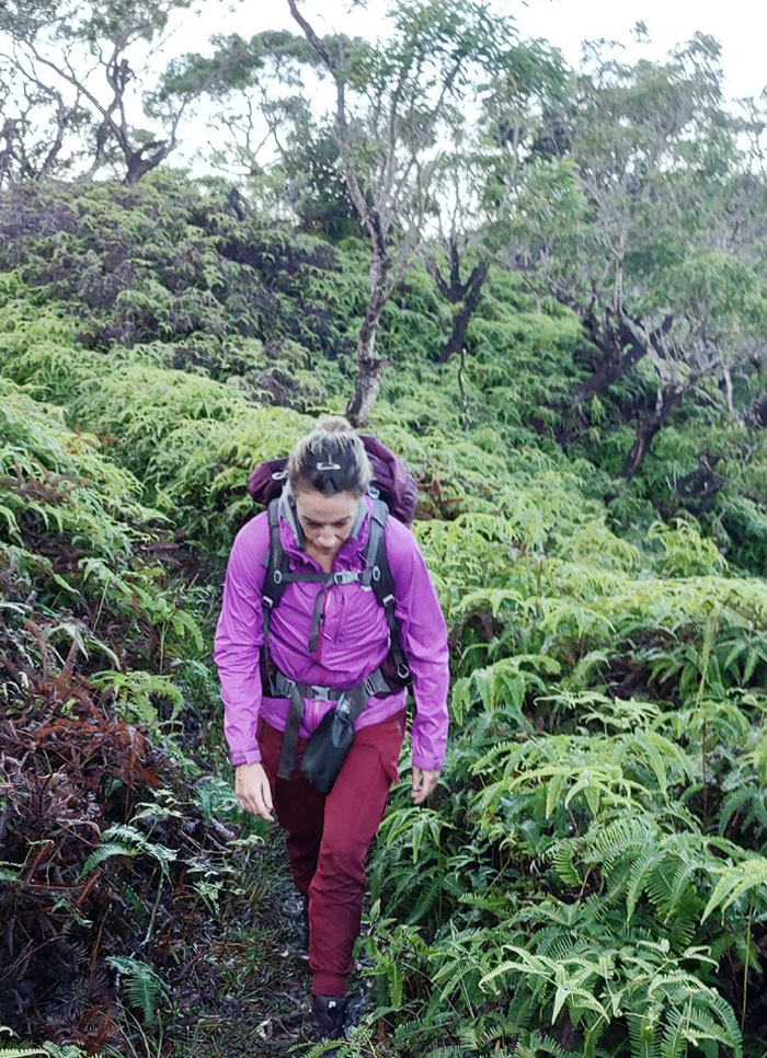
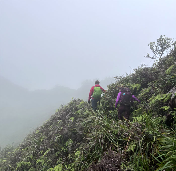
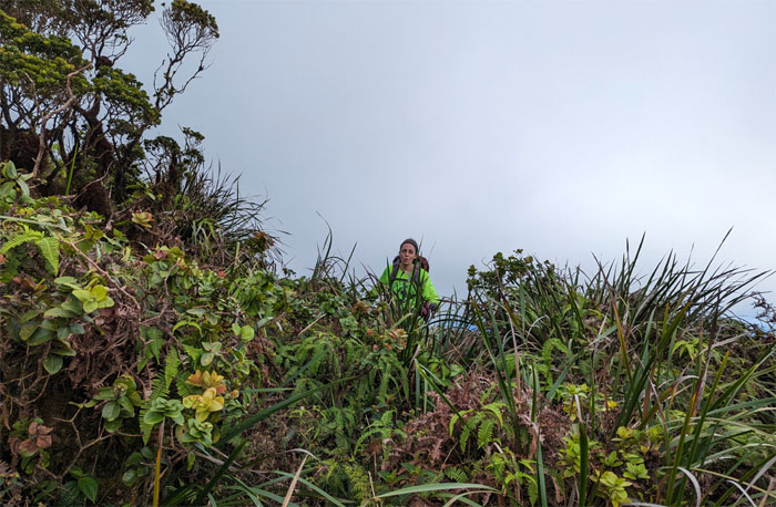
Welcome to the jungle. Uluhe jungle.
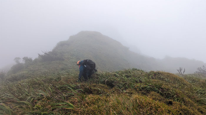
Manana Ridge Trail
The start of the rolling hills and false peaks.
Manana Ridge Trail
Rain showers at mile marker 3.5. Can it get any better?
Manana Ridge Trail
It can. The rain paused in watering the mountains.
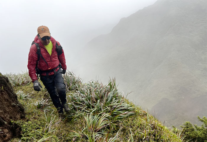
Manana Ridge Trail
Steady grind in the mountains. One foot in front of the other.
Manana Ridge Trail
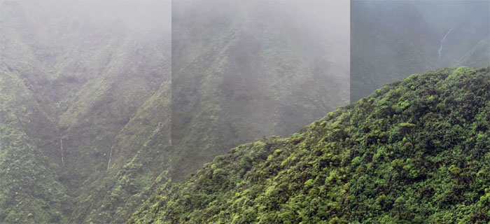
Watching random waterfalls flowing in the distance.
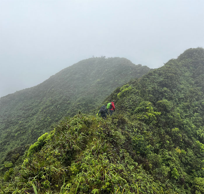
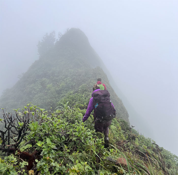
Manana Ridge Trail
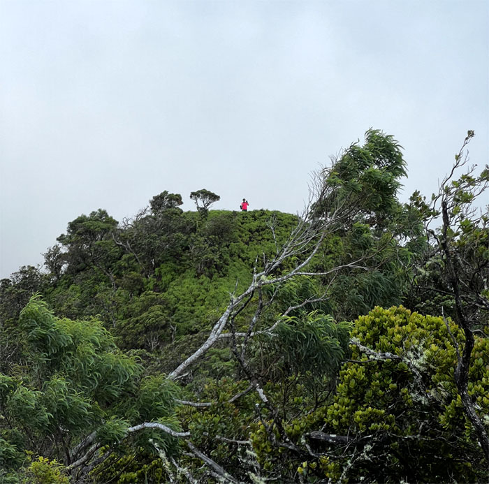
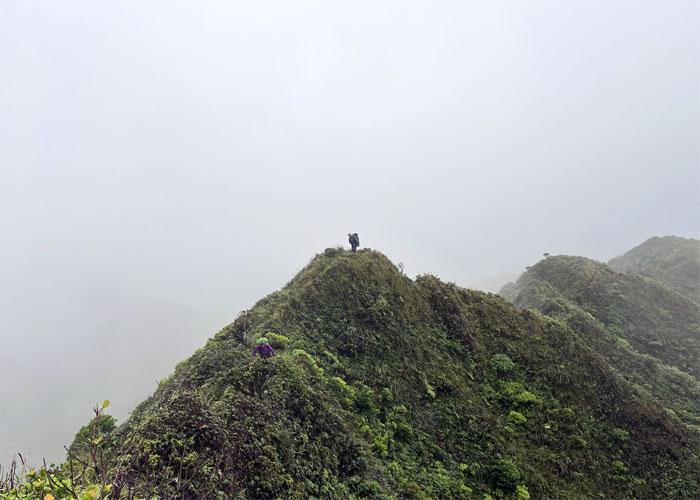
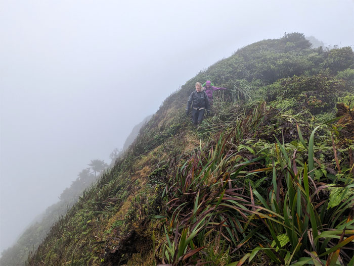
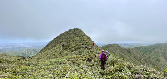
Is this the last false peak?
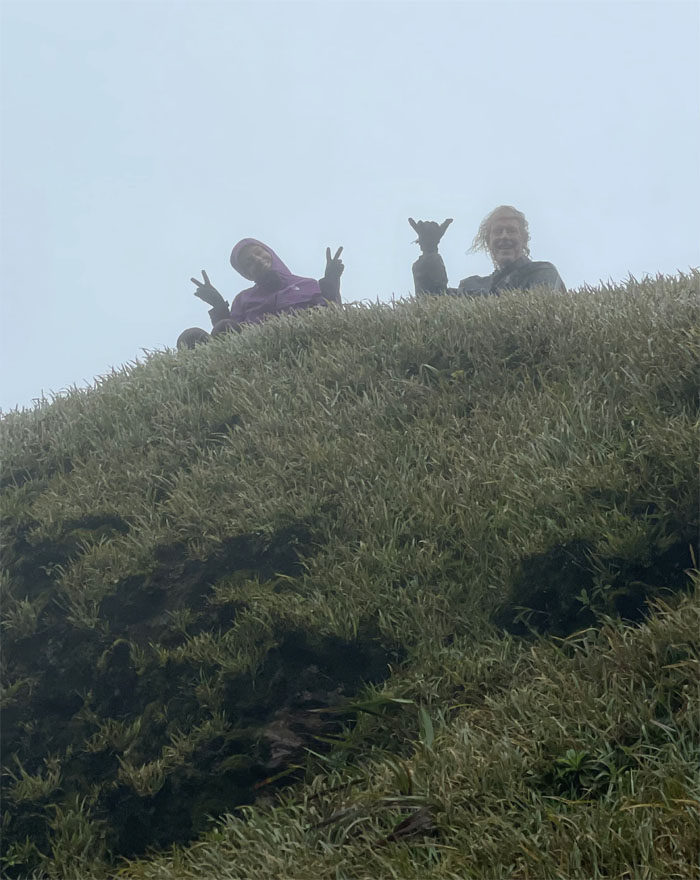
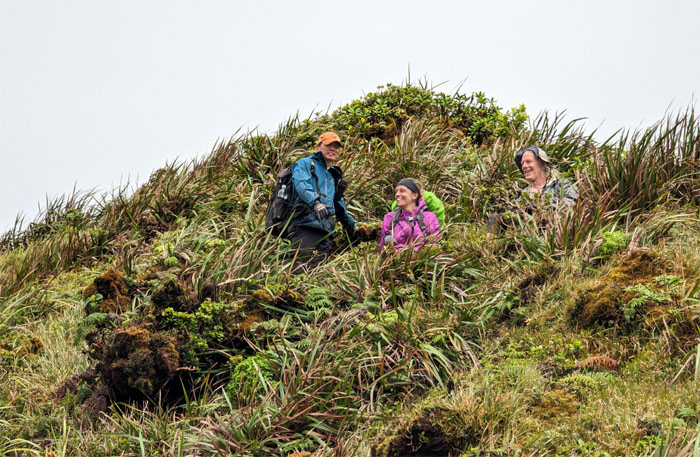
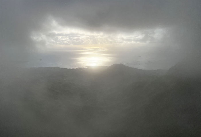
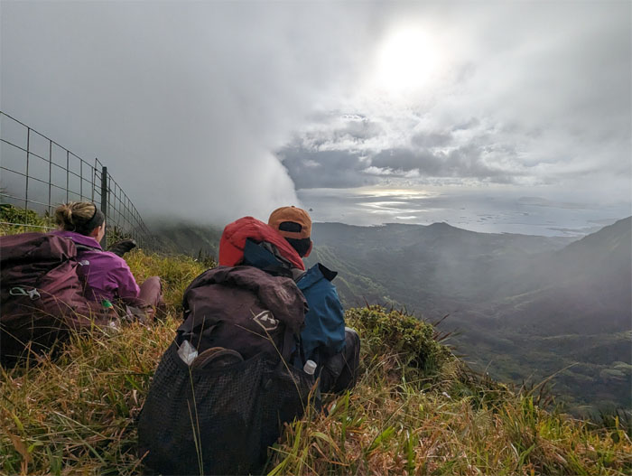
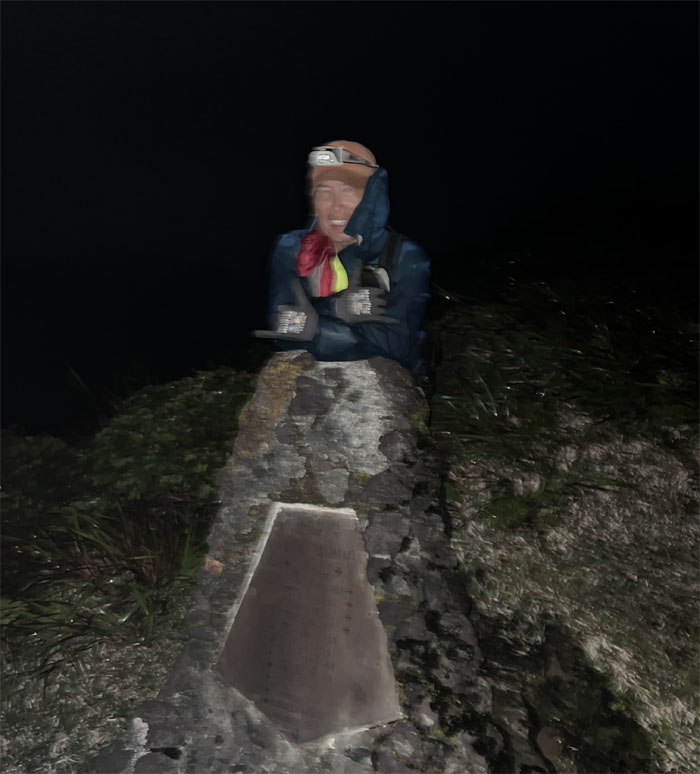
Manana Summit
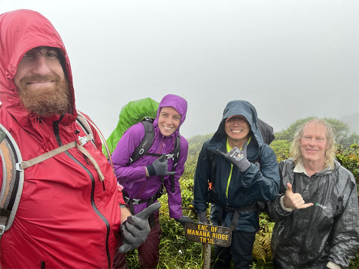
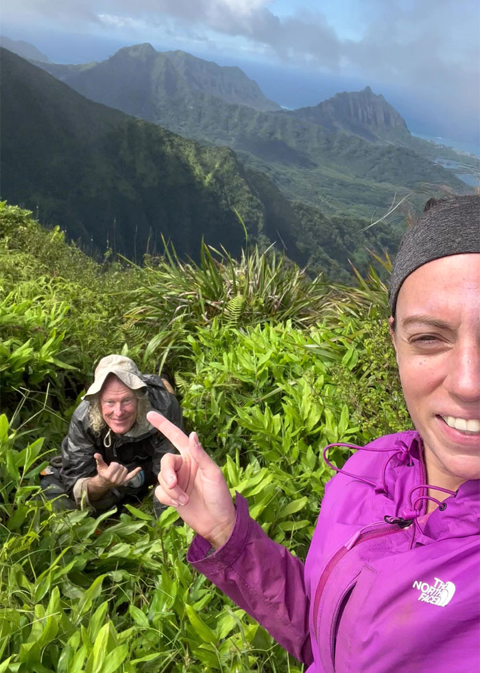
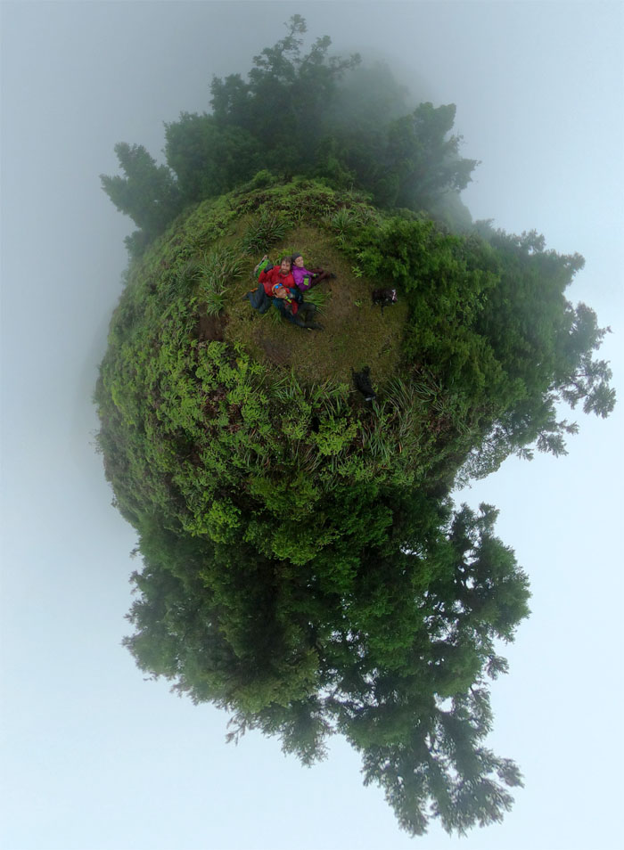
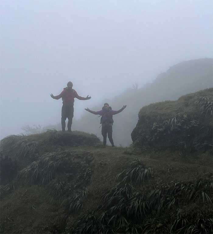
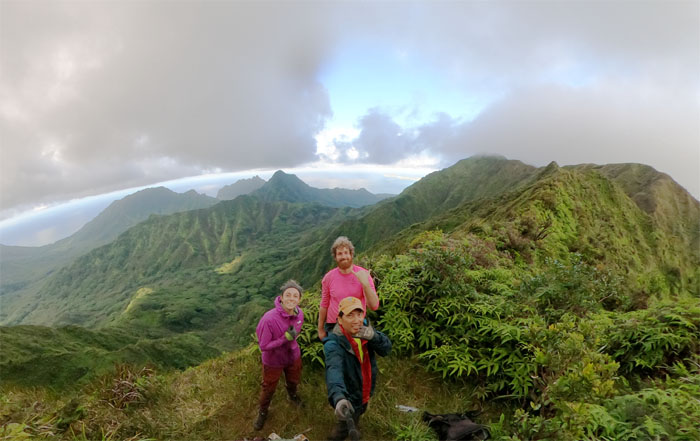
Group photo at the cloudy and rainy knob. Just another day in the mountains.
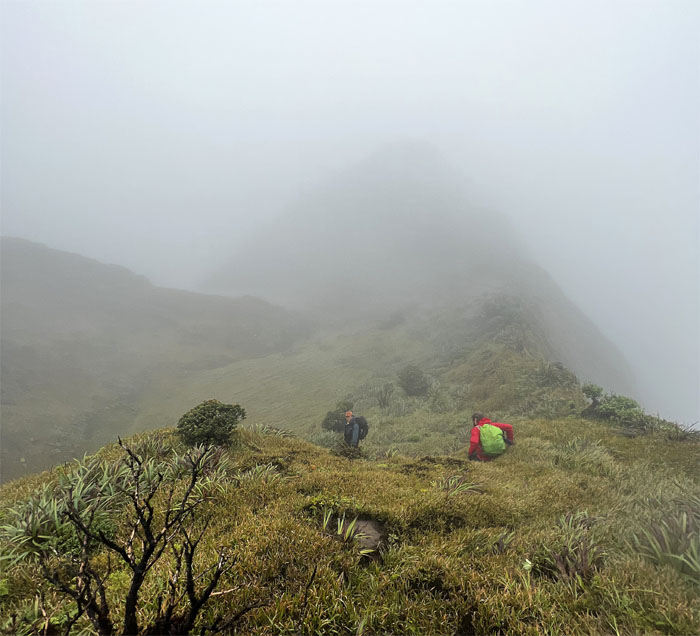
Ko’olau Summit Ridge Trail (KSRT)
Leaving the 2,660′ summit for greener pastures.
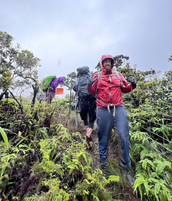
Corner
Sliding our way down to the creek.
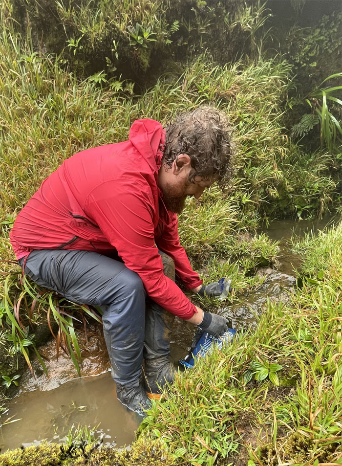
Corner
Thomas filtering water from the upper part of the muddy creek.
Corner
Some in the group didn’t need water or perhaps the thought of drinking mud and bug strained H20 wasn’t appealing.
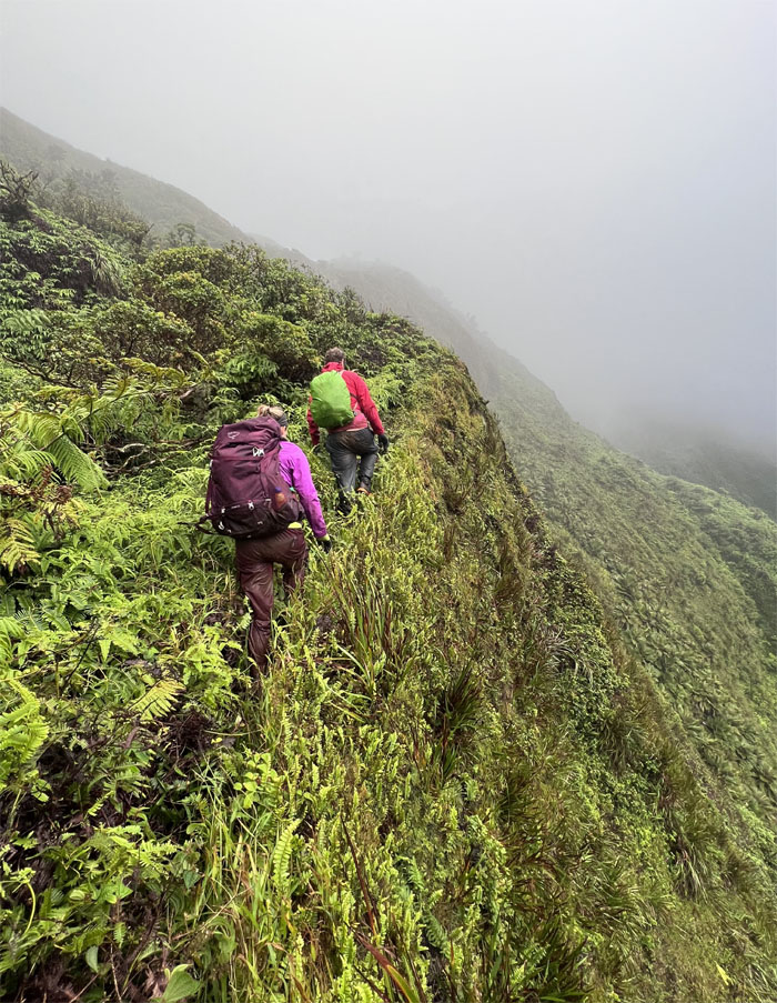
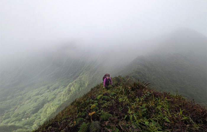
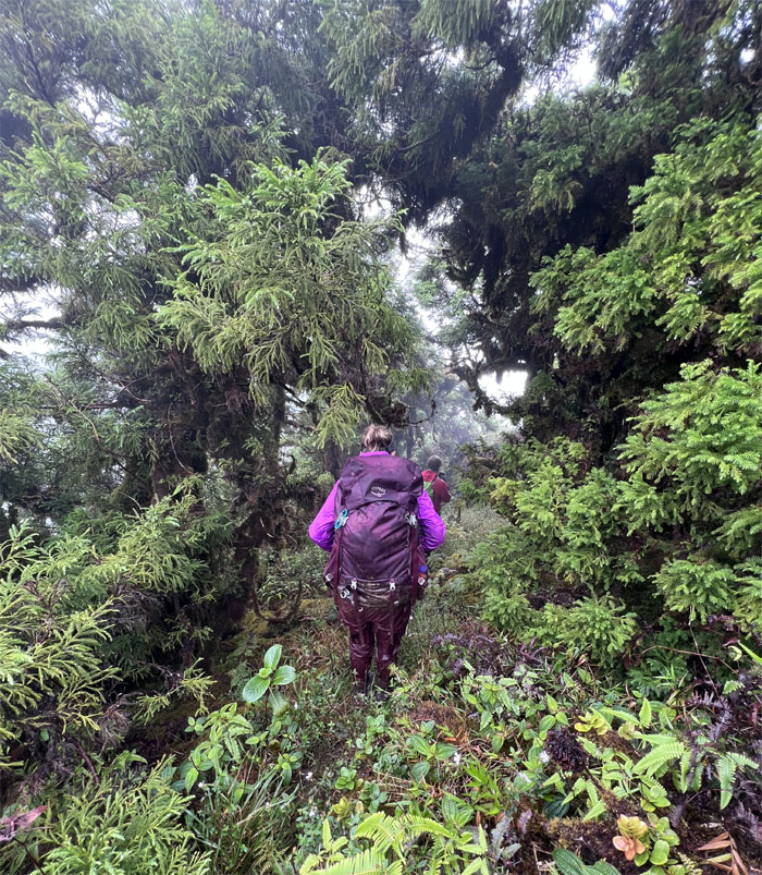
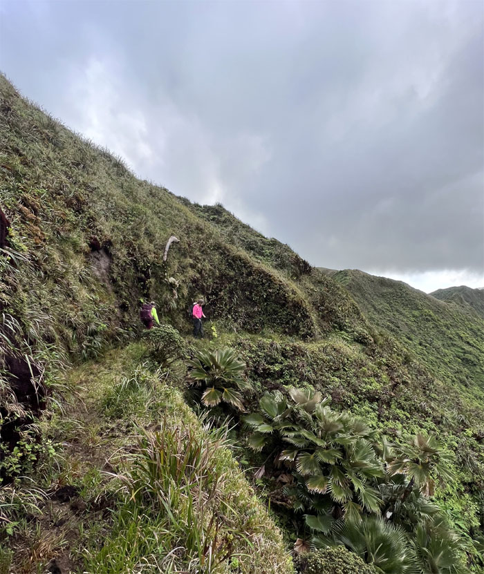
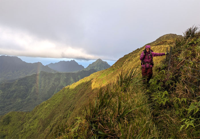
KSRT
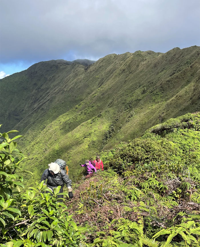
Back on the cloud soaked ridge line.
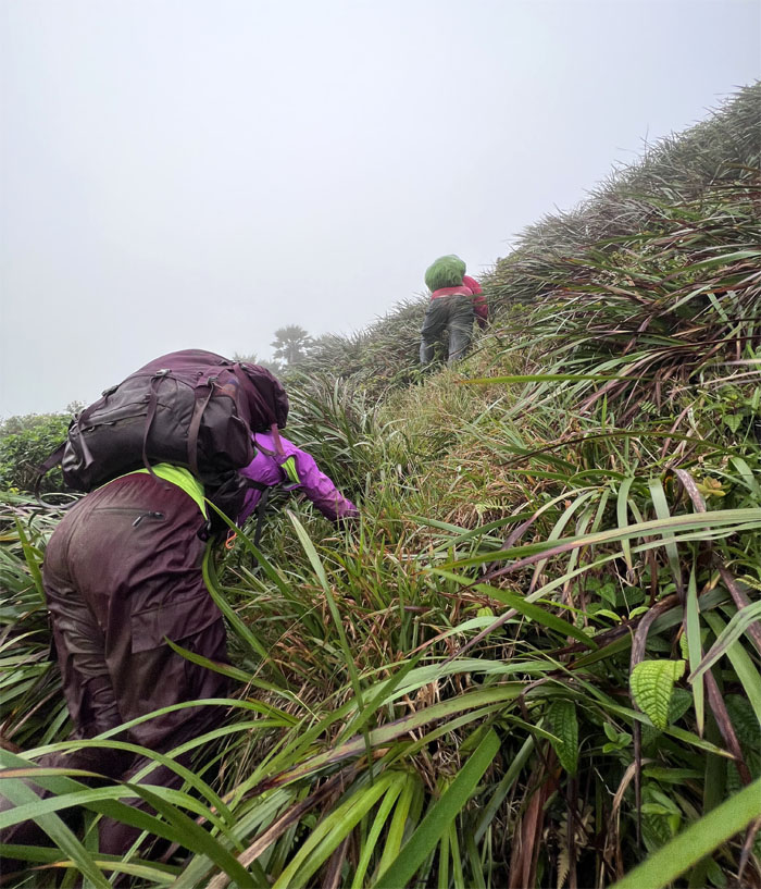
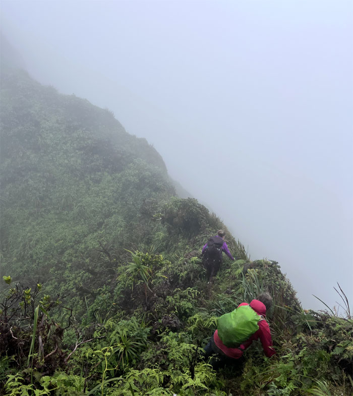
KSRT
Inching along.
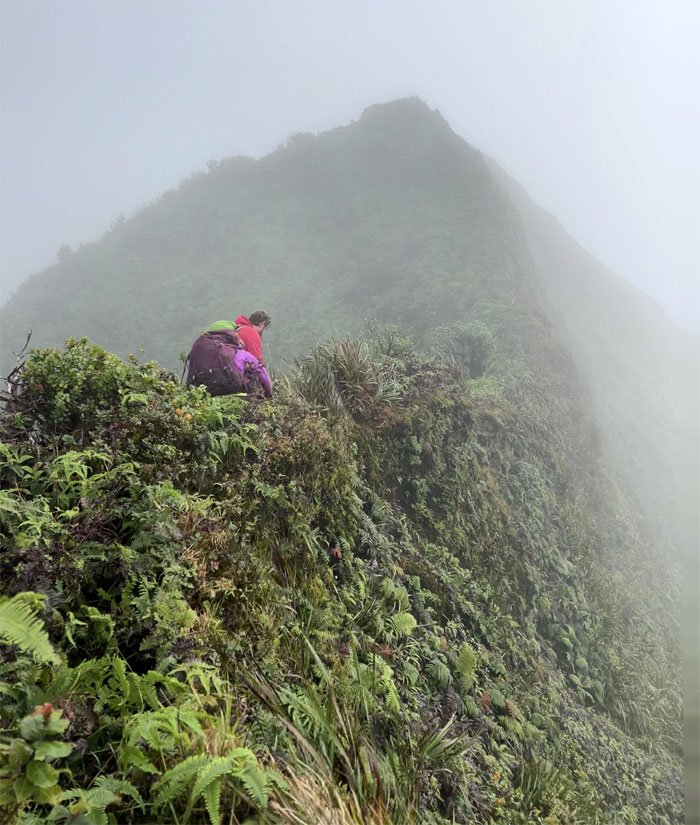
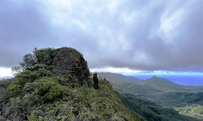
KSRT
Are we having fun yet?
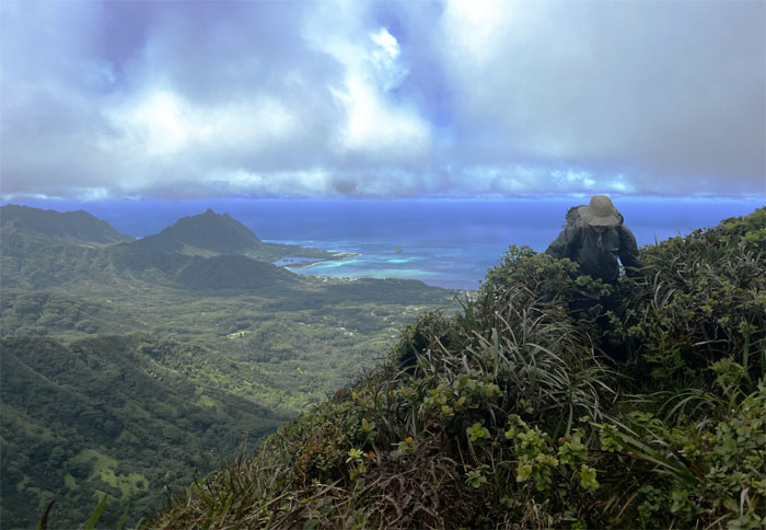
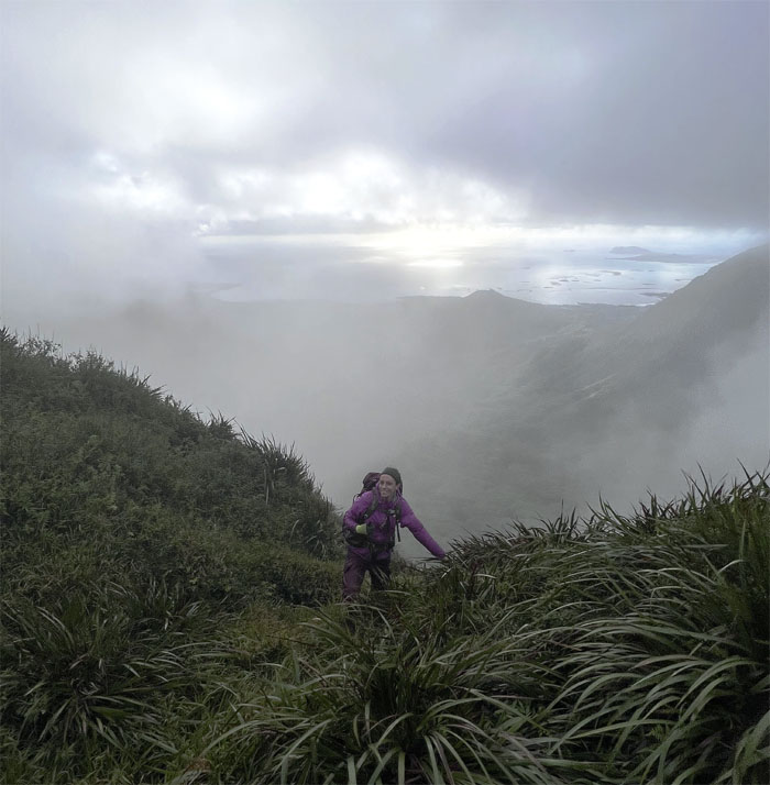
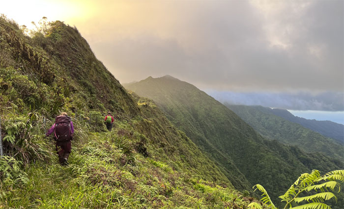
KSRT
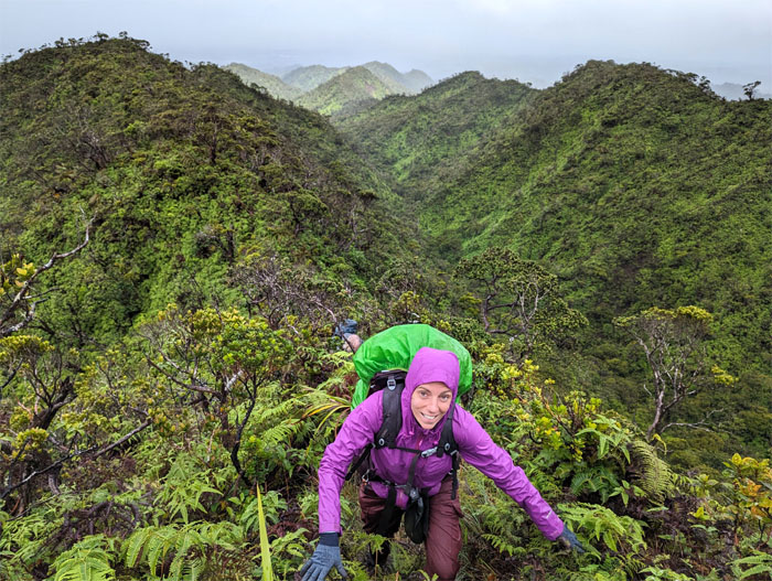
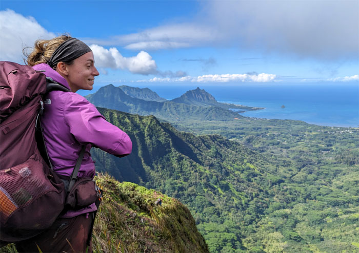
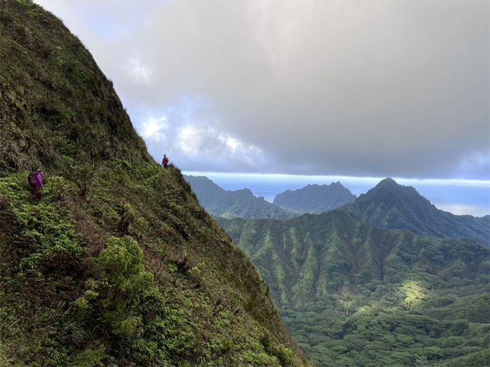
We finally got a postcard worthy view.
KSRT
Passing through a small meadow in the mountains.
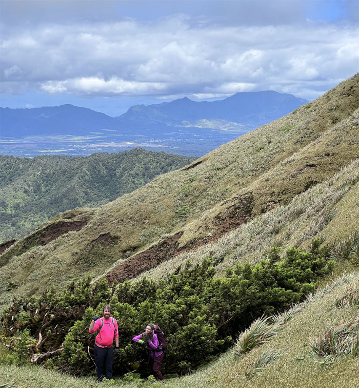
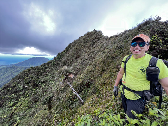
KSRT
Doug coming around the trail with the background views still holding.
KSRT
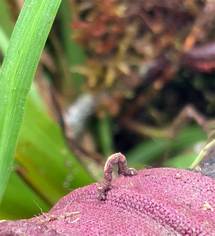
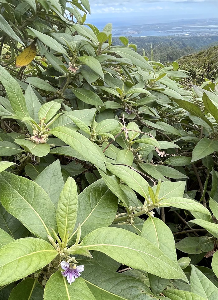
A bush of mountain naupaka flowers on the trail, these common endemic half flowers are found only on Oahu and Kauai.
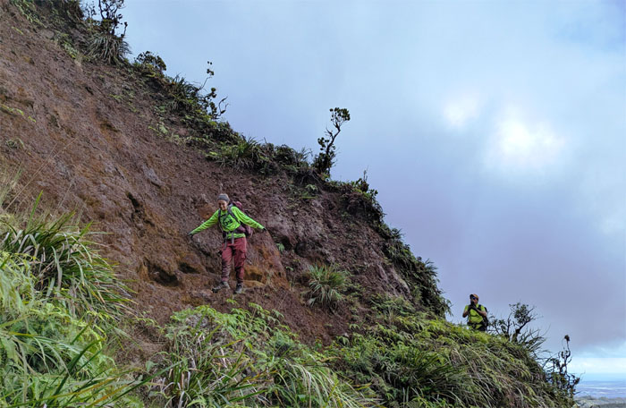
KSRT
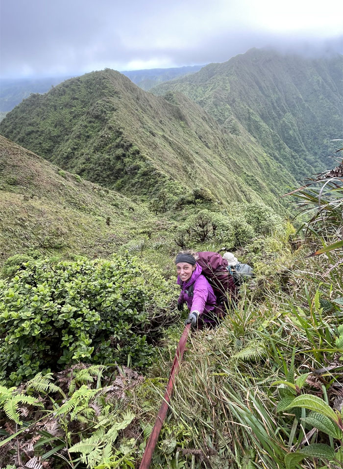
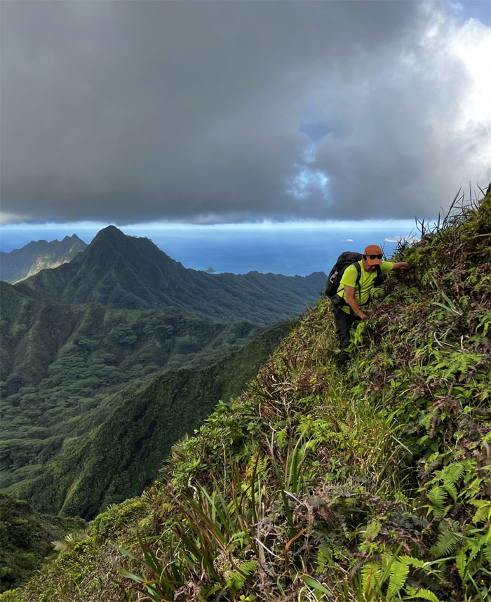
Going down on the trail section that has eroded over time. Hence, the webbing.
KSRT
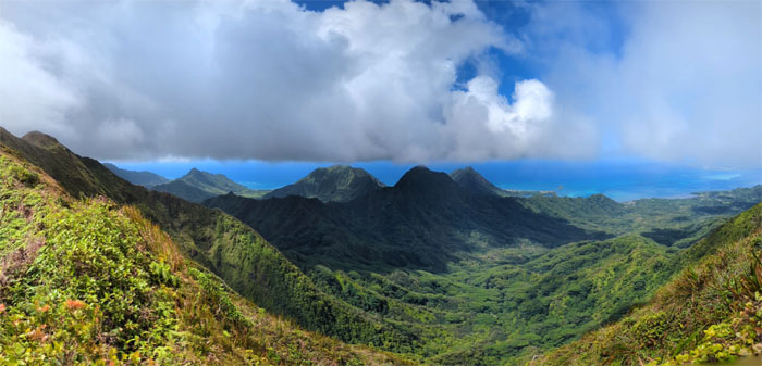
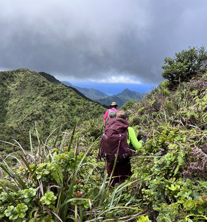
Panoramic valley view.
KSRT
Talking shop in the mountains.
KSRT
This would be a nice place to camp. Be careful what you wish for.
KSRT
Somebody is looking for Olomana. No pointing allowed on this hike.
KSRT
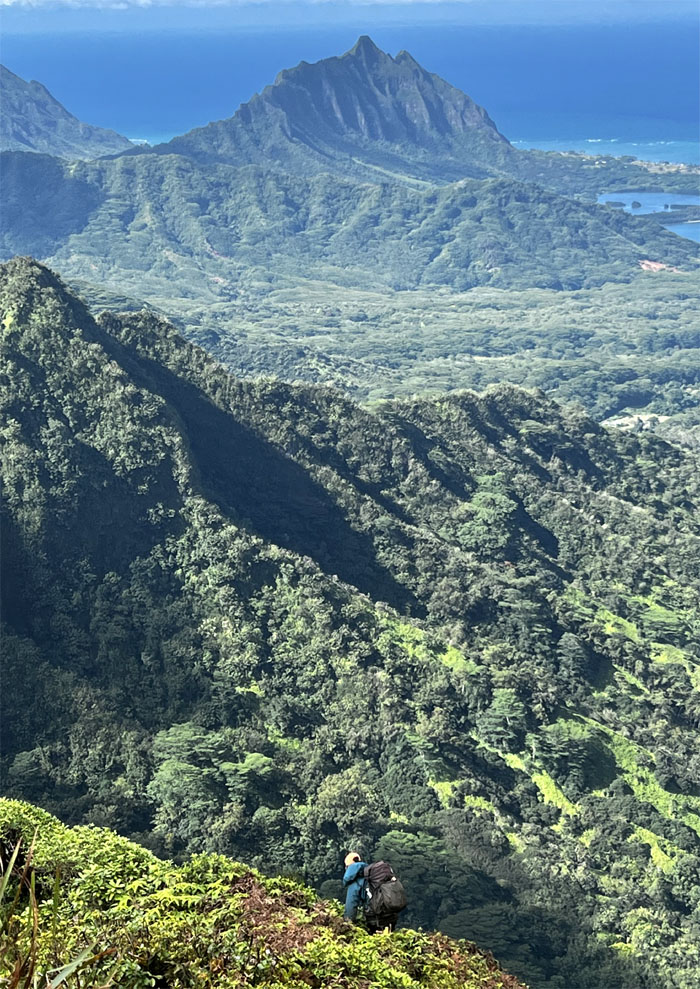
Hiking on the ridge with the prominent Kualoa Ridge in the background.
KSRT
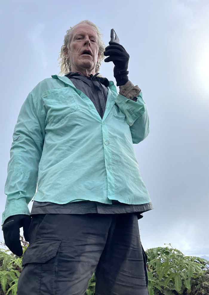
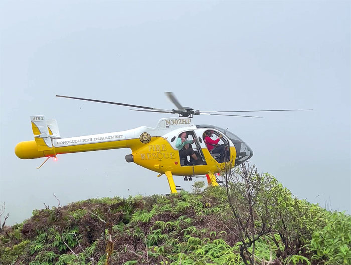
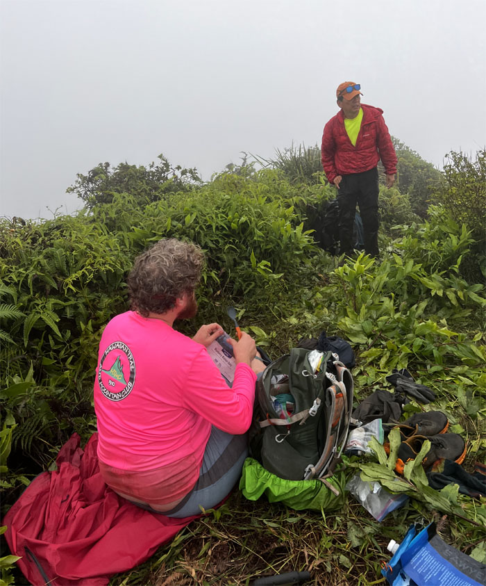
We need to have a meeting of the minds. Doug was rather extremely exhausted and options were discussed. Camp and rest. Return back to where we had started. None of them seemed feasible, so the call was made. I also got a text from CJ, our backup pickup at Poamoho, who advised me that the lock combination didn’t work. Fly in the ointment. Glad we found out sooner than later.
KSRT
Hello. This is Doc Brown. I need a ride. Back to the future.
KSRT
Where’s your DeLorean? In the shop. You guys want a ride down too? No, we are staying put. Yes, we know it gets cold and we have shelter, food and water. Thank you for the offer.
KSRT
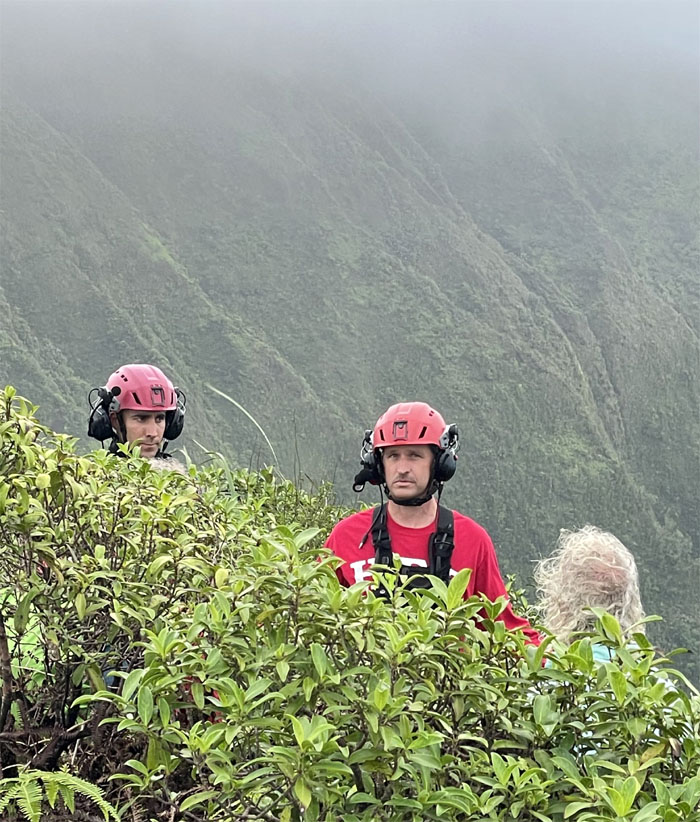
Kudos to the skill of the chopper pilot that landed on the postage stamp sized spot to get Doug back to his warm bed tonight.
KSRT
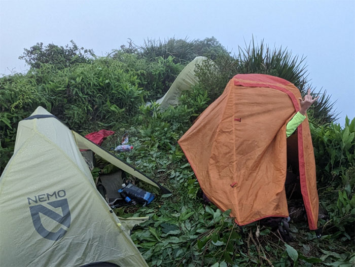
And then they were three. Good night from Camp Ginger.
KSRT
Day 2
We had a lot of ground to make up as the unfortunate turn of events had put us back 4-5 hours from where I had originally wanted us to be today.
Waiawa Gap
Making our way down the cloud soaked mountains.
Waiawa Gap
Sunrise in the mountains.
Waiawa Gap
Hiking on the edge.
Waiawa Gap
Slippery climb up = taxing cardio.
Waiawa Gap
The clouds started to break apart, to give us some views worth hiking for.
Waiawa Gap
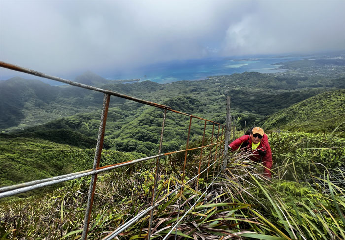
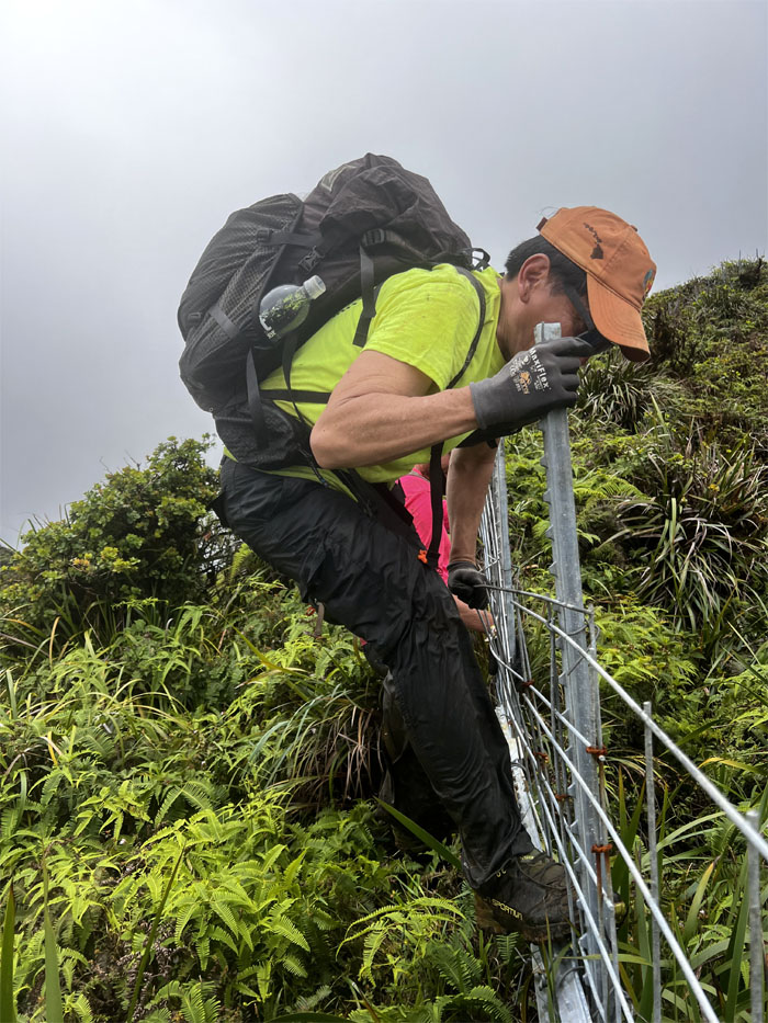
Taking a well-deserved break at the gated fence to enjoy the morning mountain views.
Waiawa Gap
Climbing out of the gap.
KSRT
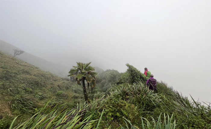
Hiking into the clouds. Mother Nature can be so temperamental at times. Take what you can.
KSRT
Enjoying the last of the Ko’olau Summit Ridge Trail section.
Kipapa Summit
Where tomatoe becomes tomato.
Ko’olau Summit Trail (KST)
Sliding our way down the soft and spongy ground.
KST
Walking in the clouds as the sounds of civilization punched its way through the clouds.
KST
Passing through the scented Japanese Sugi Pine Tree Grove.
Camp Rusty
Group photo at the planned camping spot which is also the site of the former Kipapa Cabin.
KST
We passed under the shadow of Waiahole Summit as we crossed through the man-made notch.
KST
Meandering our way through the mountains.
KST
Thomas going over the selfie stick fence junction.
KST
Approaching the emerald depression where a certain tree is growing parallel to gravity.
KST
Rounding the bend.
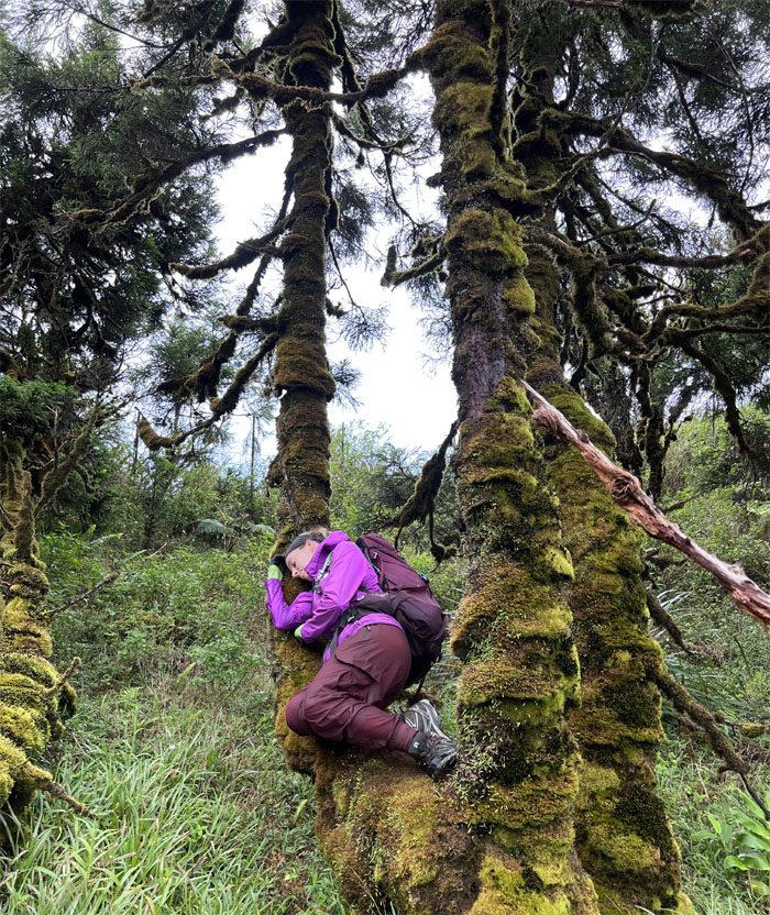
Tree of Life
Thomas and Amber in front of the horizontal growing Japanese Sugi Pine Tree. It gets bigger every time I visit this magical place.
KST
If you haven’t slept on a bed of tree moss, you haven’t lived.
KST
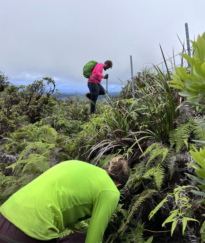
Pulling our way up on the fence line with Windward views at our back.

KST
Contouring for daze.
KST
Going over the second fence junction.
KST
Amber coming around the last “tricky” junction, easier from our direction to find it.
KST
The trail for the most part contours on the Leeward side with ample Windward views to keep us motivated.
KST
Thomas going around the trail with the Waianae Mountain Range in the background.
KST
Amber crossing over one of the biggest landslides on the trail.
KST
All smiles as we popped out on the Windward side which meant we were pretty done with the contouring part of the trail.
KST
Finding our way down to the bottom trail.
KST
Are we there yet?
KST
Looking back at the peak of Pu’u Ohulehule, that is privately owned. Believe it or not!
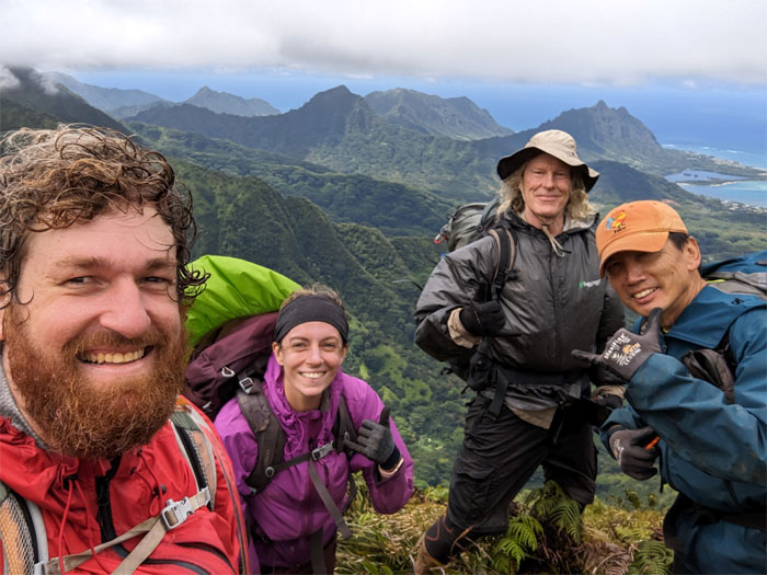
Schofield-Waikane Summit
Group photo at the 2,360′ spot that also marked Thomas’s completion of the KST. Congratulations! Champagne is waiting at the car. We also asked Doug who was presumably well-rested from his recovery, to check the gate lock for us.
KST
Hiking on the runway of a trail. Or at least that’s what somebody said.
KST
No feeding of the Ko’olau Goose. However, drone flying is permitted.
KST
Hello? Yes, I would like to order a working gate lock. If my request is granted, I promise to stop pointing at Olomana.
KST
Enjoying what daylight we had left as the sun began to set. Doug also had mentioned that he had gotten ahold of somebody at DLNR to hopefully come out and change the locks. If for some reason, the lock could not be changed or opened, I suggested Plan B, which was to stay overnight at the cabin.
KST
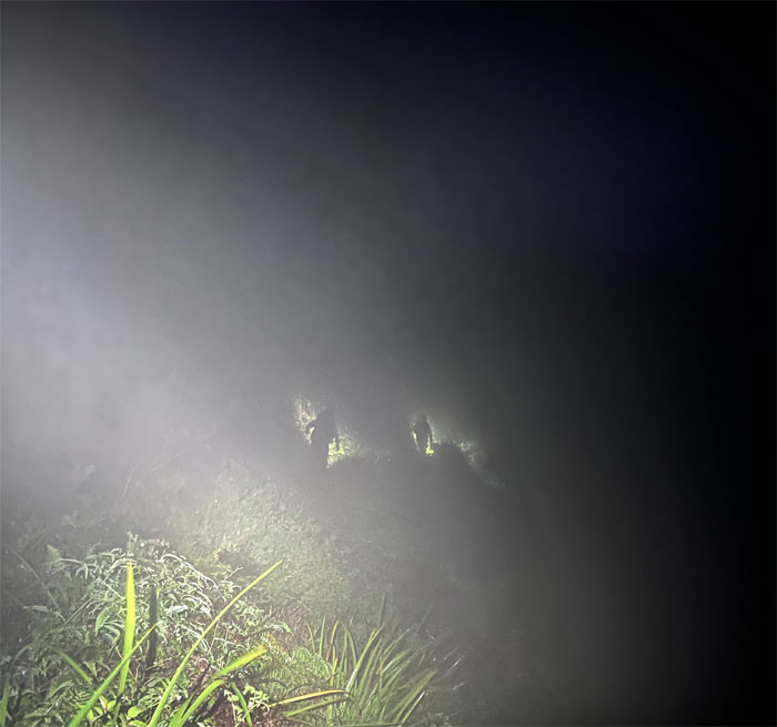
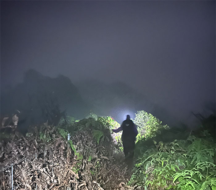
Hiking by headlamps. Doug also confirmed that the lock was changed and the combination worked as it should.
KST
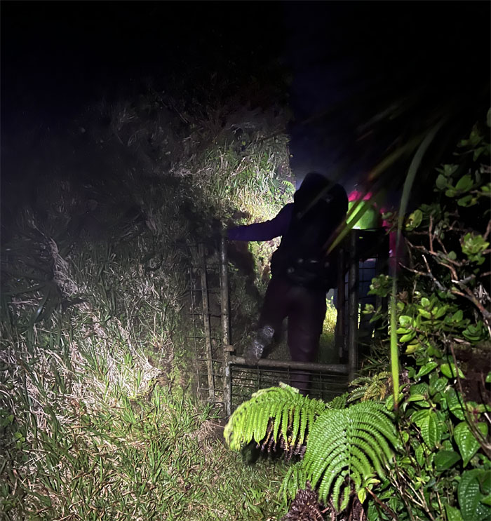
Passing through the gated notch.
KST
Back on the fence line.
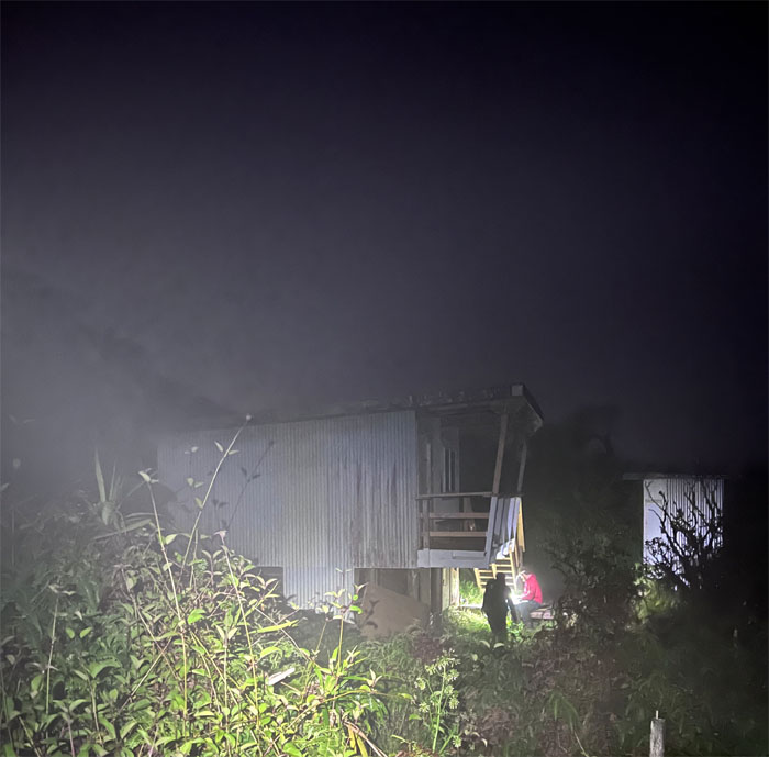
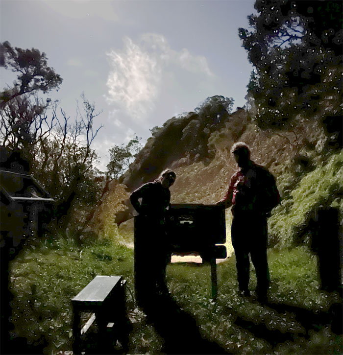
Poamoho Cabin
Just a quick stop to filter water since Plan B was no longer needed.
Poamoho Cabin
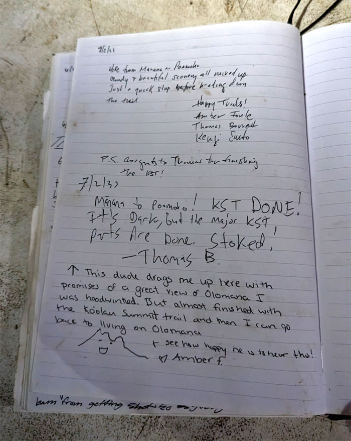
Obligatory log entries.
Cline Memorial
It was also my KST finish as well. #16 in the books.
All pau
Many thanks to Cary for picking us up despite the late hour and driving us down the dark jeep road. Also a big mahalo to Aileen who was waiting down at the gate for us with food and drinks from McDonald’s and took us to our cars in Pearl City. Glad you didn’t come on the hike after all!
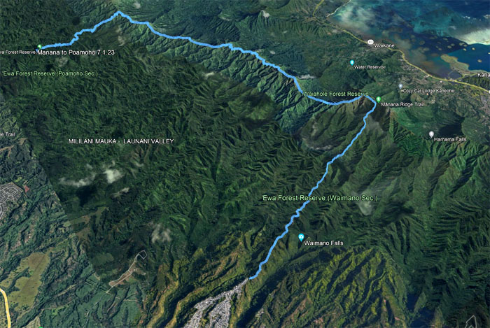
GPS Tracks
Our memorable camping hike covered 17.10 miles, always get different mileages when I do the same route. Go figure. This weekend proved that everything happens for a reason. It started with certain individuals dropping out of the hike for different reasons. Then, my friend CJ told me about the lock not working. Heads up on that one. Doug got pulled off the mountain, thanks to HFD, and he turns out to be the one that called DLNR to get somebody out there at night to get the lock fixed so that our ride, Amber’s husband who drove up the road to pick us up in the middle of the night. And lastly, Aileen who waited patiently for us well after midnight at the bottom of the gate with food and drinks and took us back to our vehicle. Many thanks to everybody that was part of the group and the support that we got during the weekend.
Photos taken by Amber Fonte, Doug Ross, Thomas Barrett, and yours truly. Not necessarily in order.
Note: I have been made aware that some hikers have been using my blog as a hiking guide and getting lost on the trails. Please note that this blog was made to document the hike for the crew(s) that did it. That is why some of my comments will seem to have no relevance or meaning to anybody outside of the crew(s) that hiked that trail. My blog was never meant as a hiking guide, so please do not treat it as such. If you find inspiration and entertainment from these hikes, that is more than enough. If you plan on replicating these hikes, do so in the knowledge that you should do your own research accordingly as trail conditions, access, legalities and so forth are constantly in flux. What was current today is most likely yesterdays news. Please be prepared to accept any risks and responsibilities on your own as you should know your own limitations, experience and abilities before you even set foot on a trail, as even the “simplest” or “easiest” of trails can present potential pitfalls for even the most “experienced” hikers. One should also always let somebody know of your hiking plans in case something doesn’t go as planned, better safe than sorry.
{ 0 comments… add one now }