
Met up with Analyn, Cisco and Mia at the Manoa Falls parking lot just in time to feed the feral chickens strutting around. Strut then crow later.
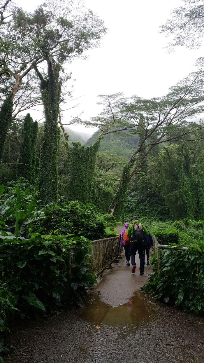
Manoa Falls Trail
We passed a busload of hikers at the trailhead as we entered the lush forest.
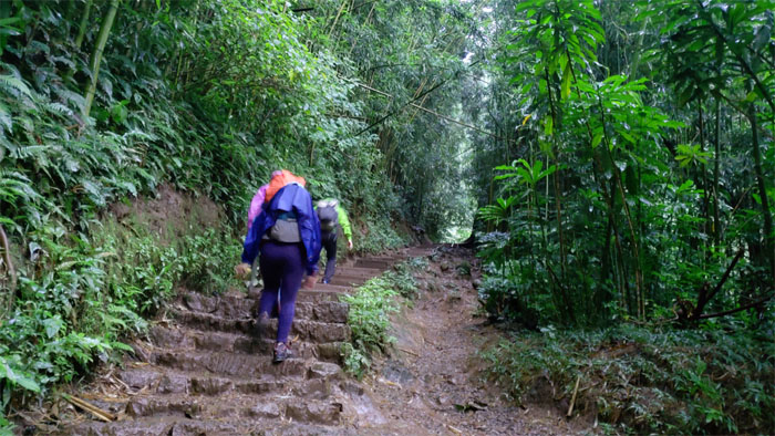
Manoa Falls Trail
Stepping up the well maintained trail.
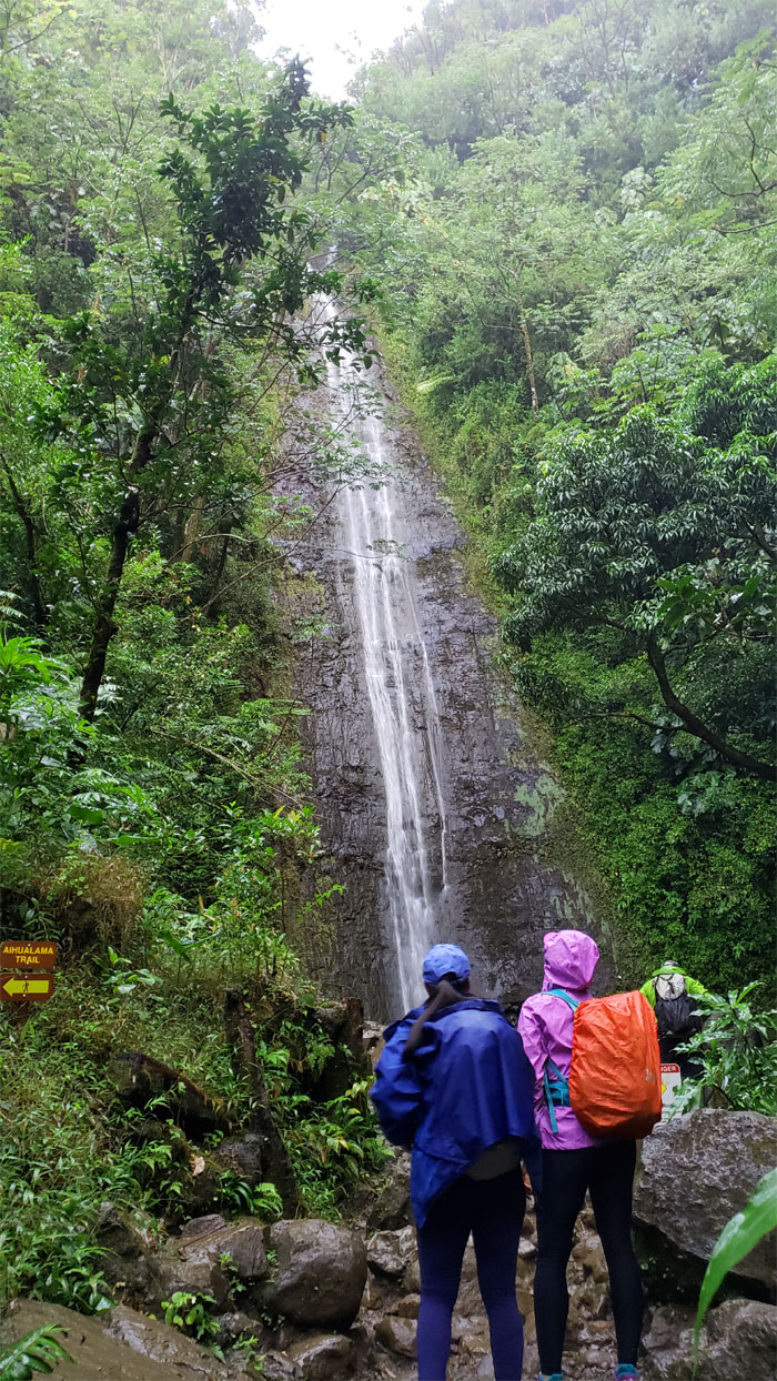
Manoa Falls
Despite the steady rain, the falls was just a fraction of the volume that it could put out under inclement conditions.
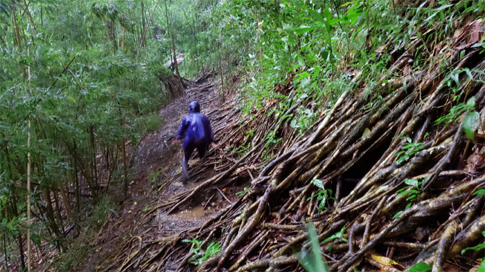
Aihualama Trail
We left the falls before the crowds congested the area and made our way across the section of slippery tree roots that cascaded down the trail.
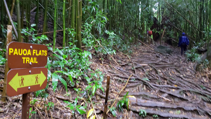
Pauoa Flats Trail
Zig zagged our way up before connecting to the tree rooted trail that passed through the rustling bamboo grove.
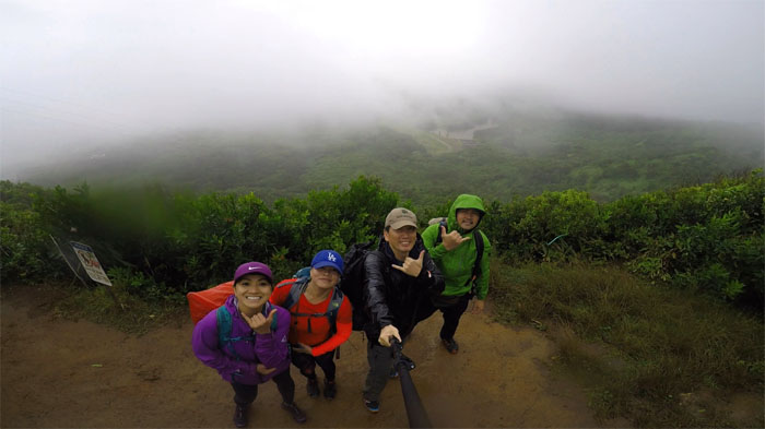
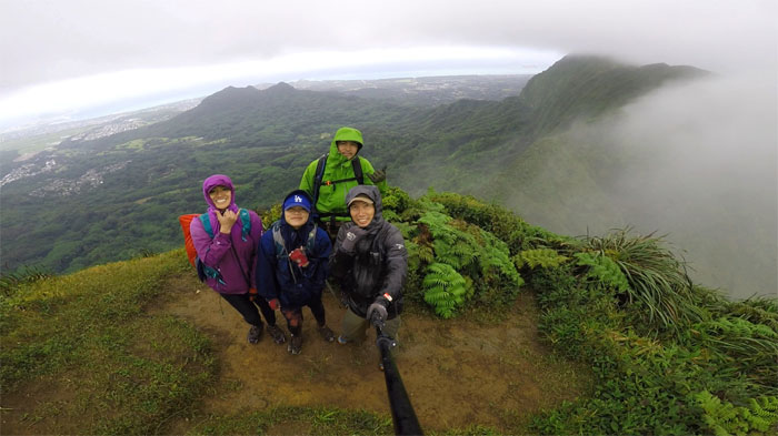
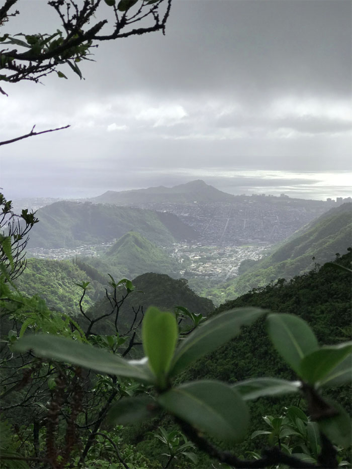
Nu’uanu Overlook
Group photo left to right: Analyn, Mia, myself and Cisco, where we started to catch head from the winds at the 1,600′ overlook. Not to mention the pitter patter of water droplets falling from the grey skies.
Trail
Contouring our way up the mountain …
Trail
… before it became a steep and muddy climb to the top of the Ko’olau Mountains, just shy of the K2 summit.
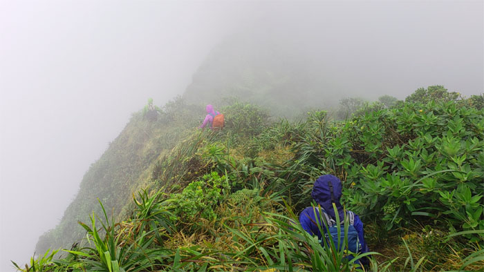
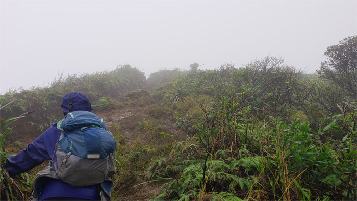
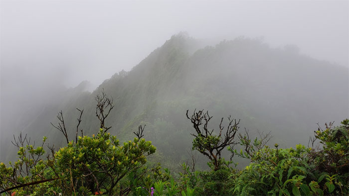
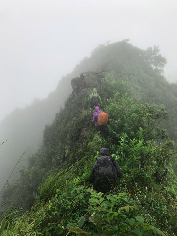
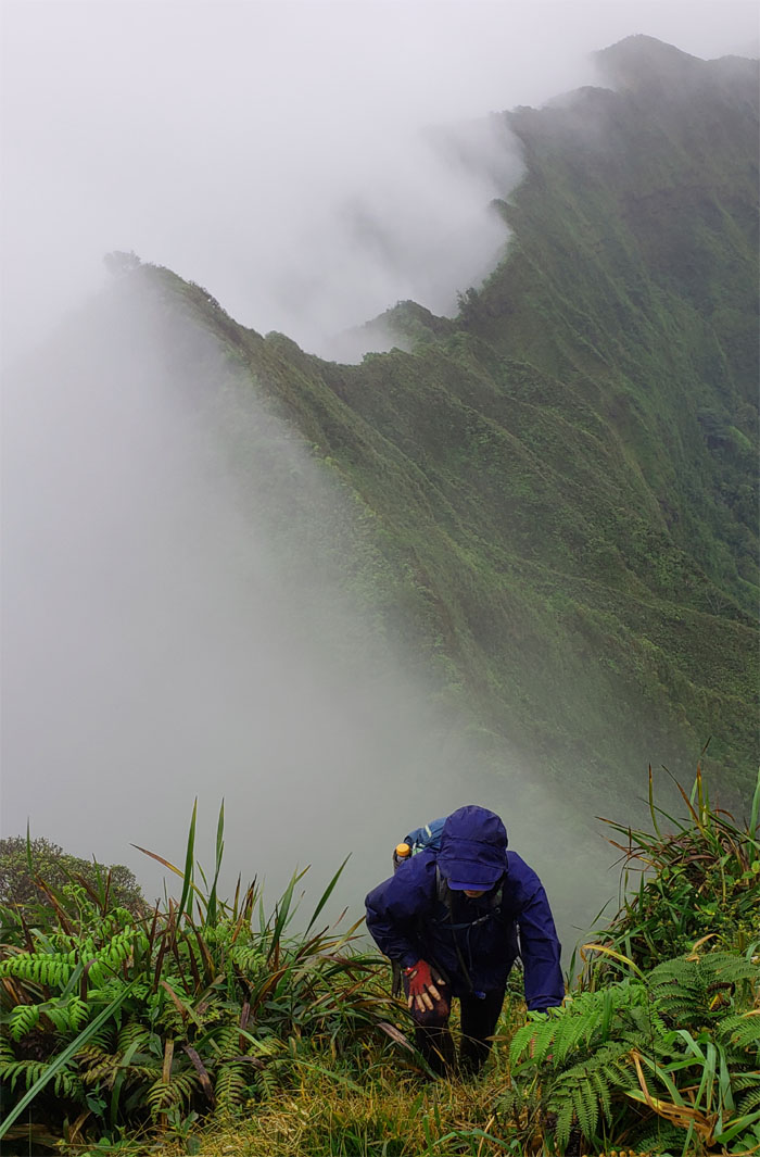
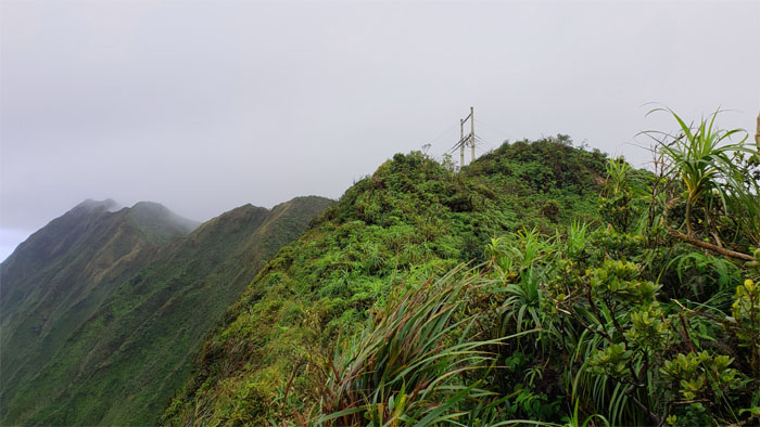
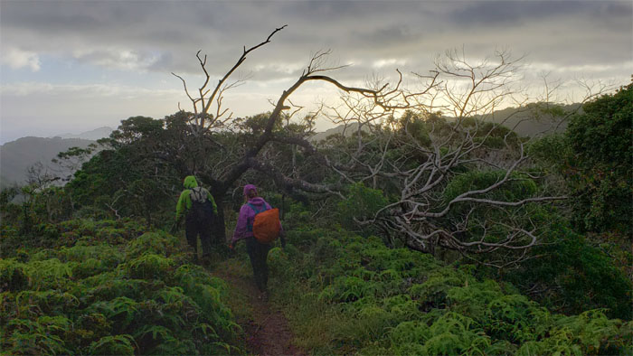
Ko’olau Summit Ridge Trail (KSRT)
Contending with the overgrowth and the breezy winds wafting their way over the spine of the Ko’olau mountains.
KSRT
Mia coming down one of many peaks on the rollercoasting ridge line.
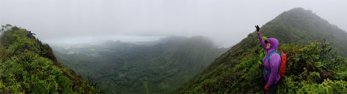
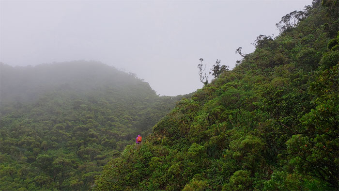
KSRT
Panoramic view between the peaks.
KSRT
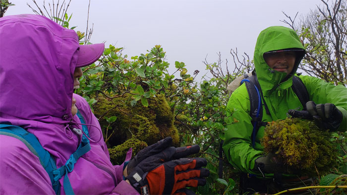
Cisco discovered Analyn’s favorite inch worm in a ball of spongy moss.
KSRT
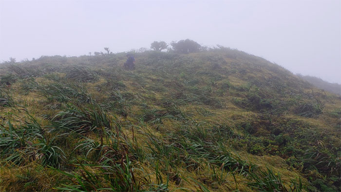
Looking ahead to our soaked and socked in lunch spot.
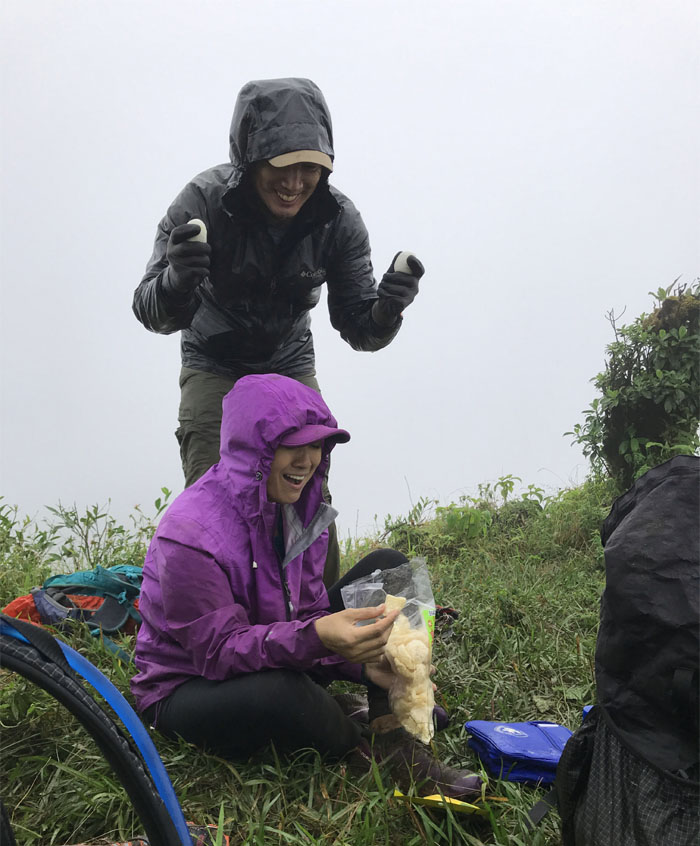
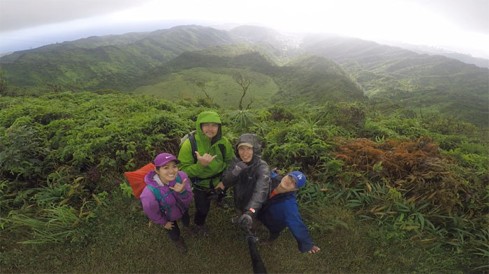
Manoa Middle Summit
Turning the tables. Let’s see whose head is harder, shall we? Photo by Mia Garrison.
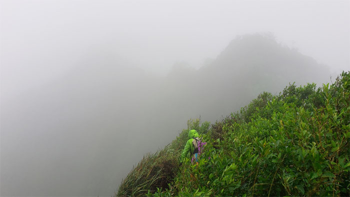
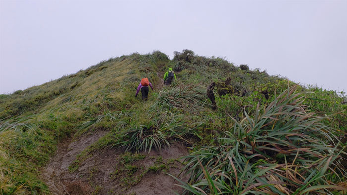
KSRT
Shaking off the chills and kanak attack as we resumed our hike on the rainy ridge line.
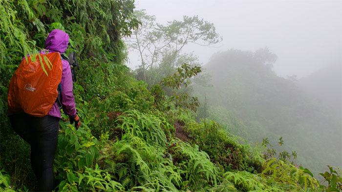
KSRT
We detoured off the ridge and onto the Leeward contour trail that provided temporary relief from the cold blustery winds.
KSRT
Back on the rocky ridge line for a short while before dropping back onto the Leeward contour trail. Photo by Mia Garrison.
KSRT
When involuntary leg contractions stalls your forward progress, nothing that mustard can’t fix by temporarily halting ones misfiring nerves.

KSRT
Crossing over to Pu’u Awaawaloa or as it’s more commonly known, Mount Olympus.
Awaawaloa Summit
Standing on the denuded area of the summit for our group photo.
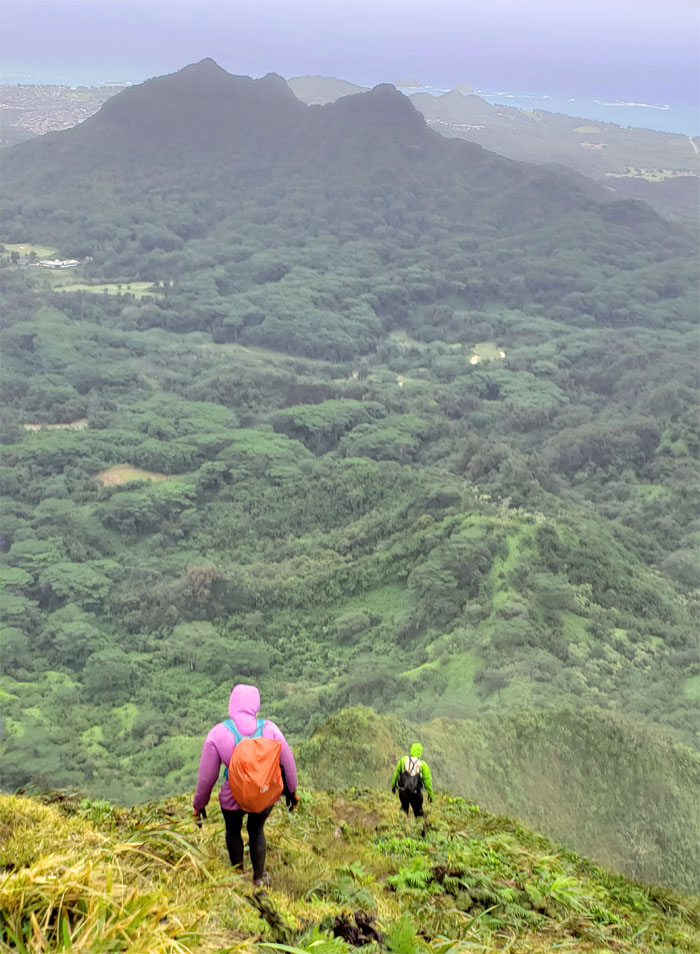
KSRT
Descending from the 2,486′ peak as we continued our hike along the Ko’olau Summit Ridge Trail.
KSRT
Looking into the long valley of Palolo. Photo by Mia Garrison.
KSRT
Approaching the powerlines that straddle Ka’au Crater.
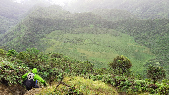
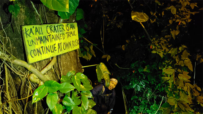
Ka’au Crater
Group photo overlooking the tuff cone filled with marshy water that feeds the three waterfalls running down the sides.
Ka’au Crater Trail
Scrambling our way up the muddy and rutted trail.
Ka’au Crater Trail
Cisco going down the severely eroded and rutted trail that gives Moanalua Middle Ridge a run for its money.
Ka’au Crater Trail
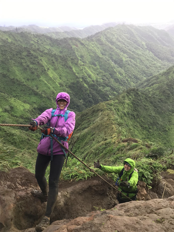
Analyn showing us the incorrect way of using a rope and the correct way of posing for a picture. Photo by Mia Garrison.
Ka’au Crater Trail
Taking the trail that avoids the waterfalls on our way down. We experienced enough water on our hike today.
Ka’au Crater Trail
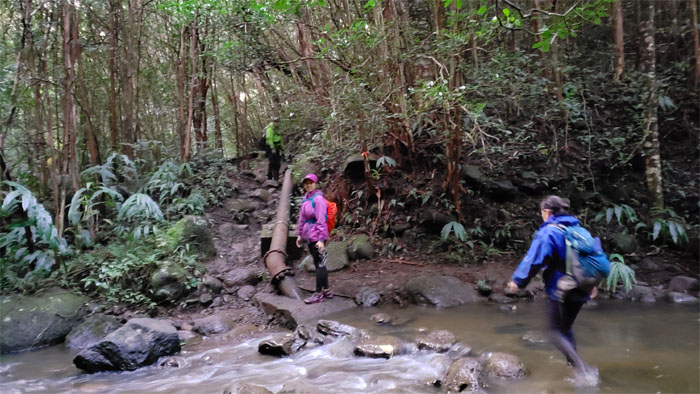
Crossing one of many streams in the valley before we found our way out.
All pau
We ended our cold and rainy hike that fell short of the original plan, but for me the company always matters more than the hike itself. Thanks to Chris for picking us up deep in Palolo Valley.
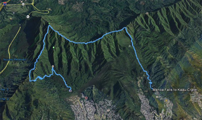
GPS Tracks
Our 8.7 mile hike covered waterfalls, ridges, mountain summits and valleys. Post hike meal at Pho 27, where we slurped down hot bowls of noodles to chase the chills away.
Note: I have been made aware that some hikers have been using my blog as a hiking guide and getting lost on the trails. Please note that this blog was made to document the hike for the crew(s) that did it. That is why some of my comments will seem to have no relevance or meaning to anybody outside of the crew(s) that hiked that trail. My blog was never meant as a hiking guide, so please do not treat it as such. If you find inspiration and entertainment from these hikes, that is more than enough. If you plan on replicating these hikes, do so in the knowledge that you should do your own research accordingly as trail conditions, access, legalities and so forth are constantly in flux. What was current today is most likely yesterdays news. Please be prepared to accept any risks and responsibilities on your own as you should know your own limitations, experience and abilities before you even set foot on a trail, as even the “simplest” or “easiest” of trails can present potential pitfalls for even the most “experienced” hikers.
{ 0 comments… add one now }