
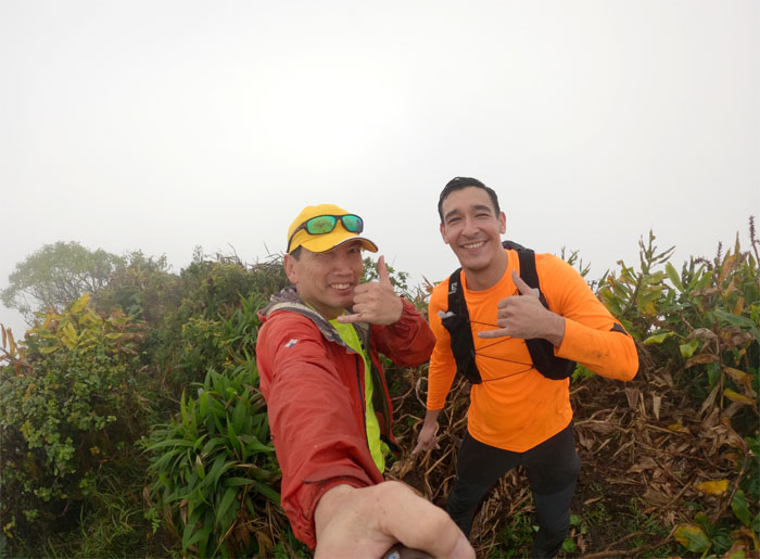
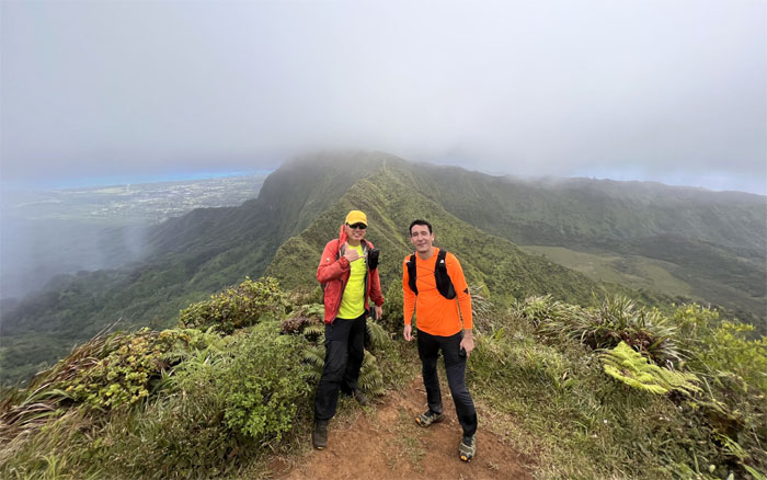
Met up with Enrique to tackle a good chunk of the Ko’olau Mountain Range today. Thanks to Andy for dropping us off.
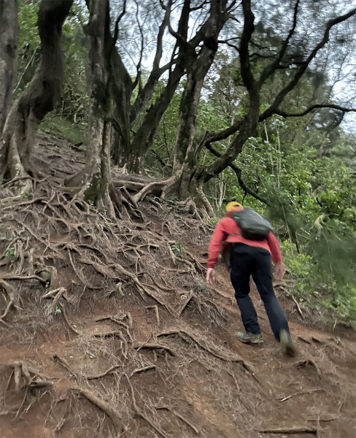
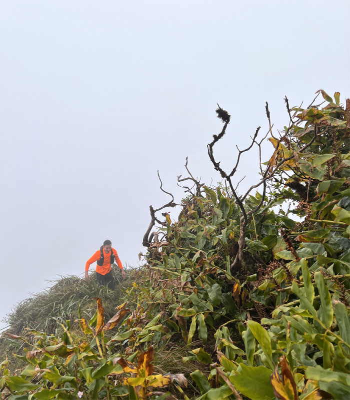
Pali Lookout
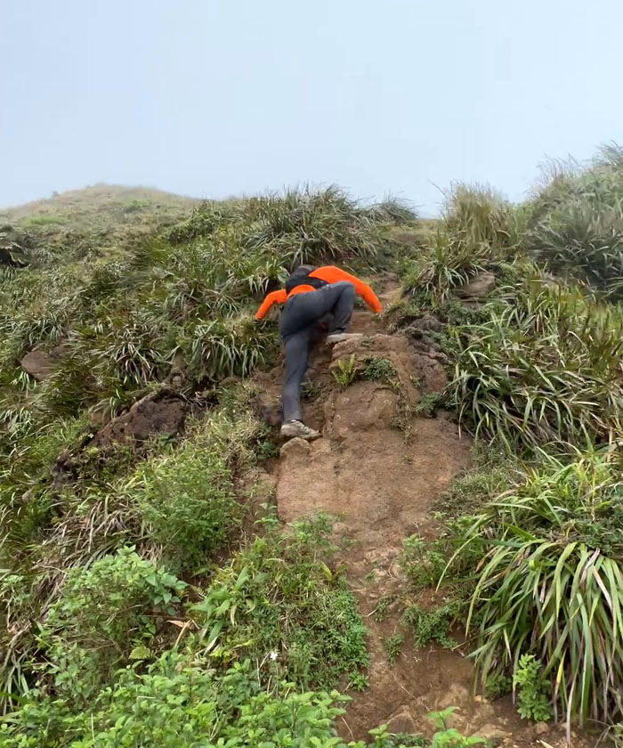
Scrambling up the short, steep and rooted hill. Photo by Enrique Chavez.
Pali Lookout
Looking down at the bloody historic site where Kamehameha conquered the island of Oahu during the Battle of Nu’uanu which claimed over 400 lives. Photo by Enrique Chavez.
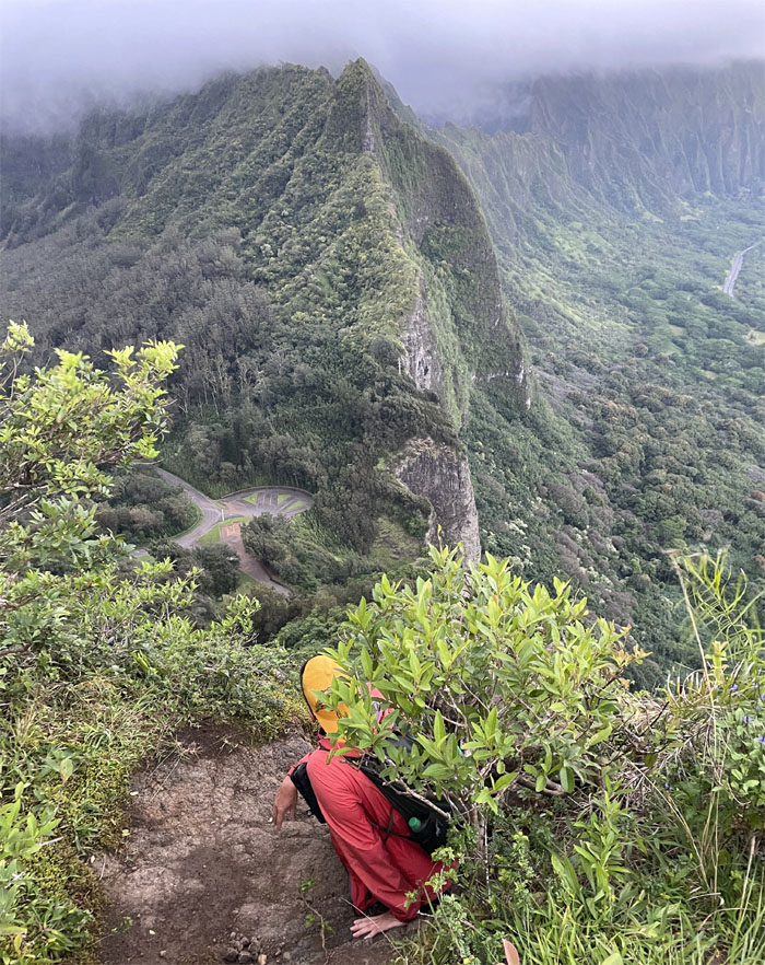
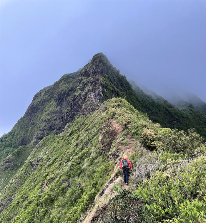
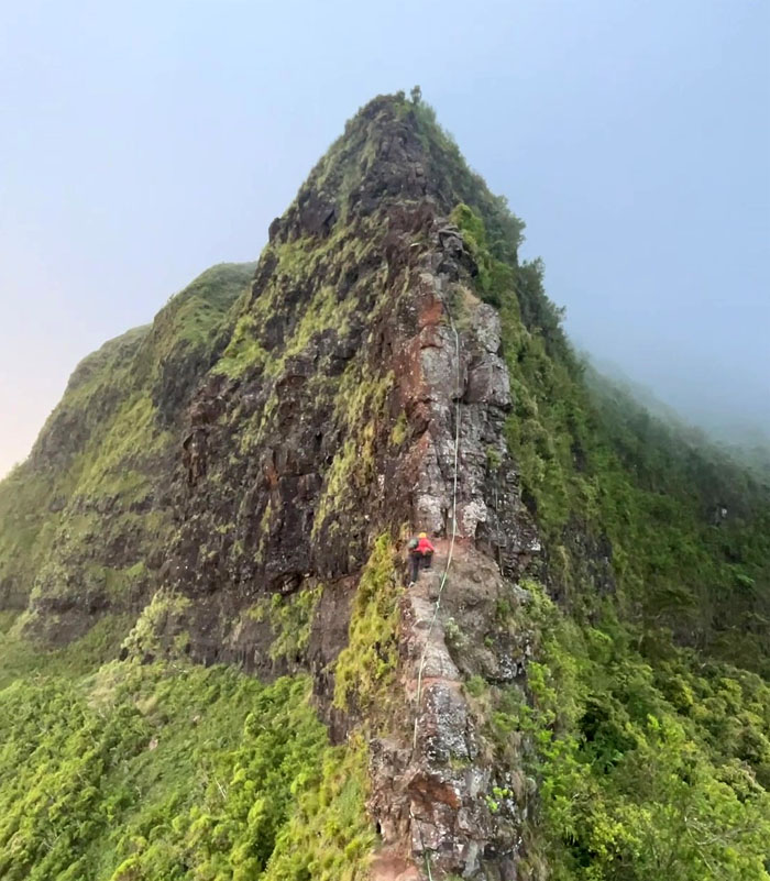
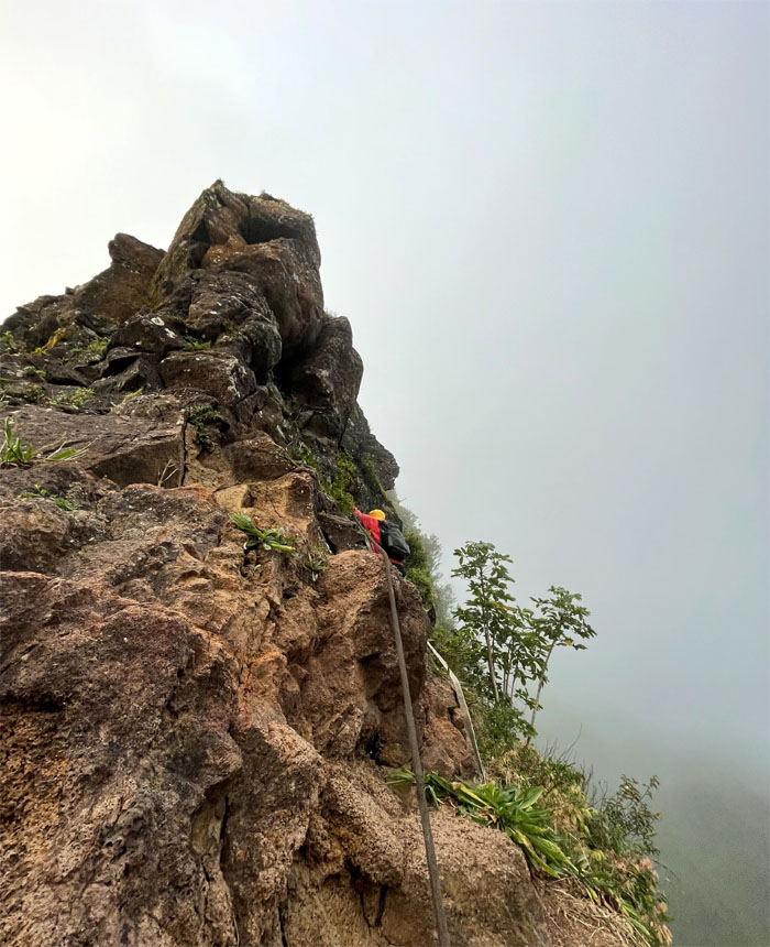
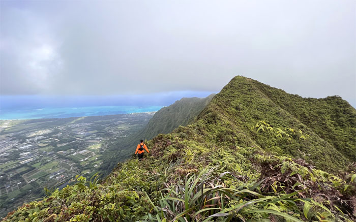
Pali Notches
I’m still waiting for my engineer friend to explain how canons were hauled up here.
Pali Notches
Enrique climbing down the second of the man-made notches in the ridge line.
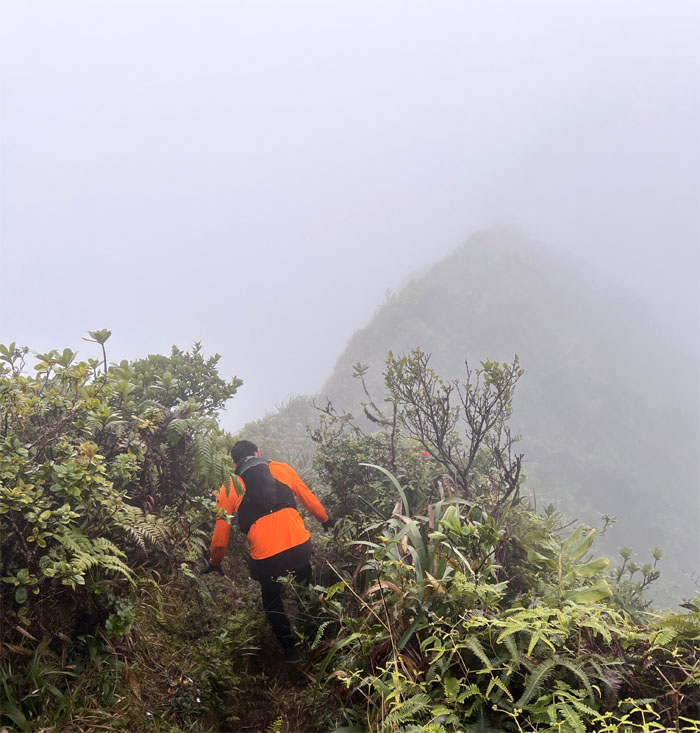
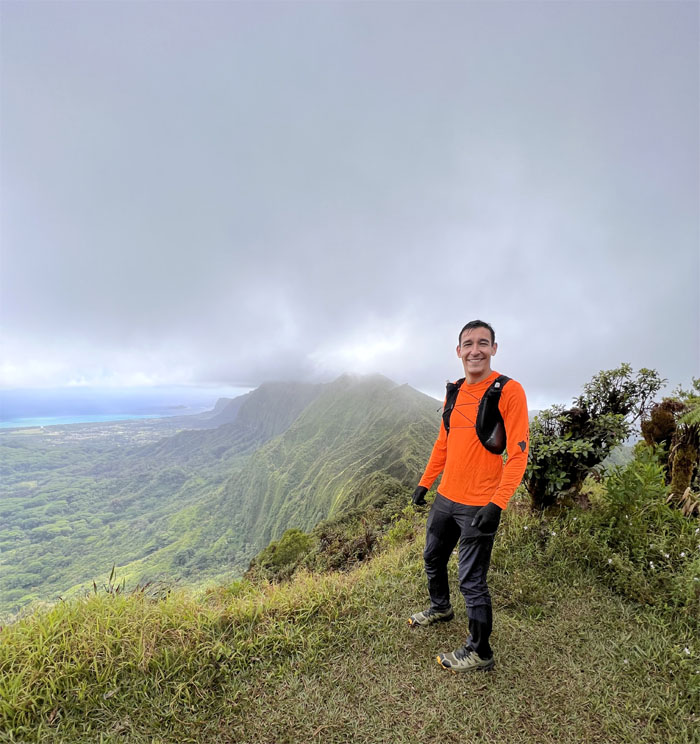
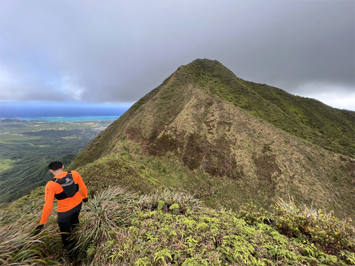
Nu’uanu Saddle
Making our way out of the notches and heading towards the cloud soaked mountains. Photo by Enrique Chavez.
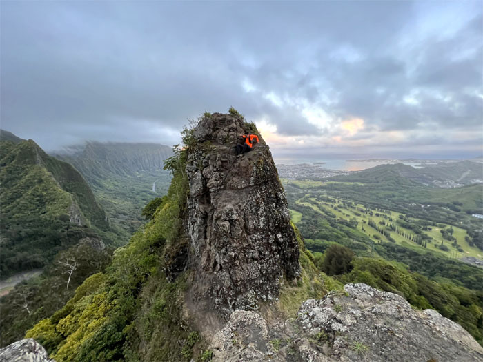
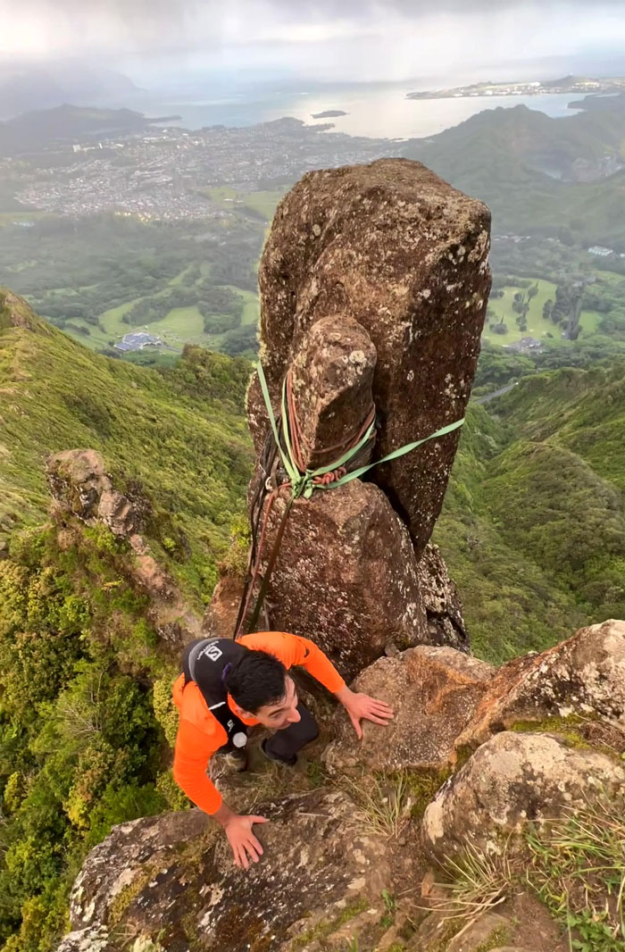
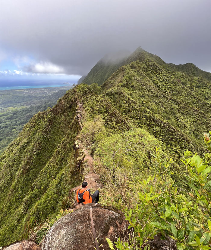
Nipple
Enrique climbing up to the best seat in the house.
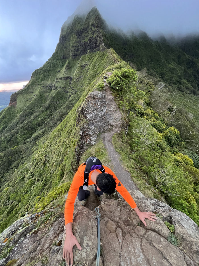
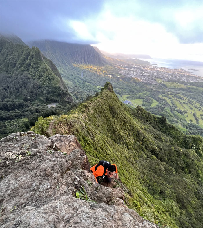
Chimney
Going up the somewhat steep rockface with the wind at my back. Photo by Enrique Chavez.
Chimney
Enrique scrambling up after the first scattering of rain showers blew past us.
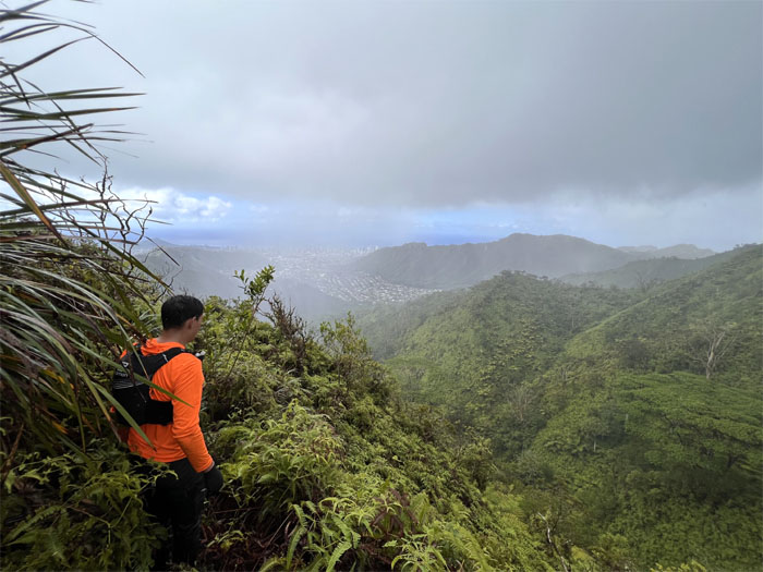
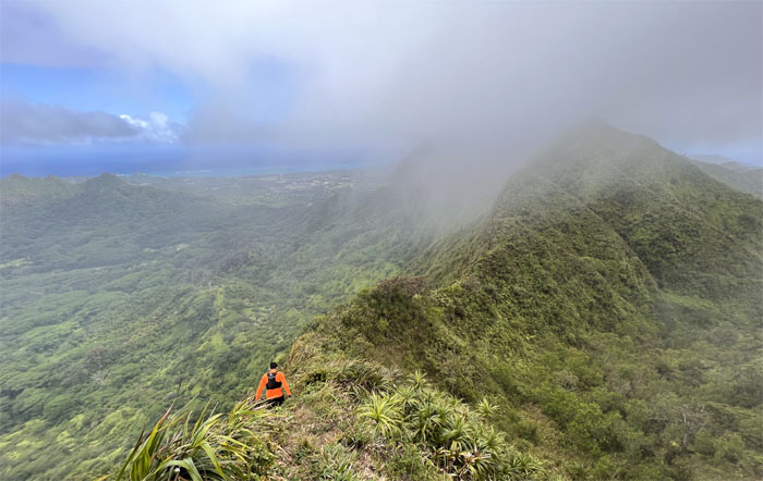
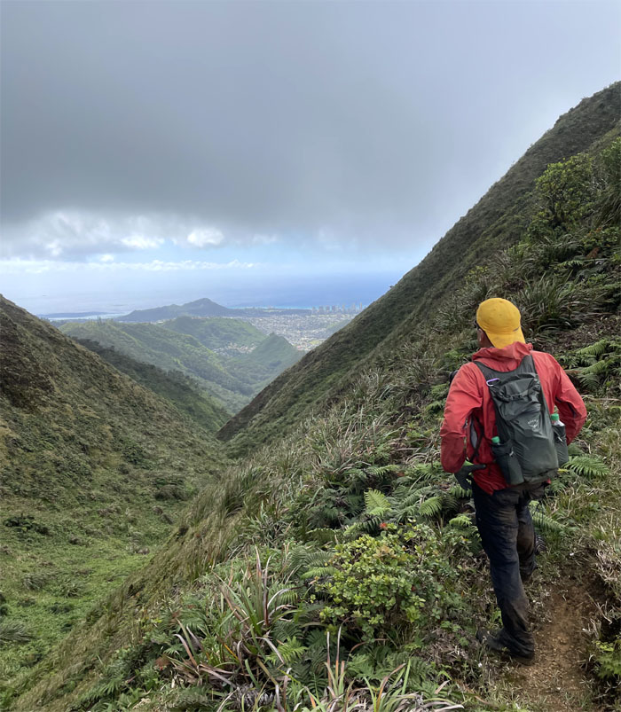
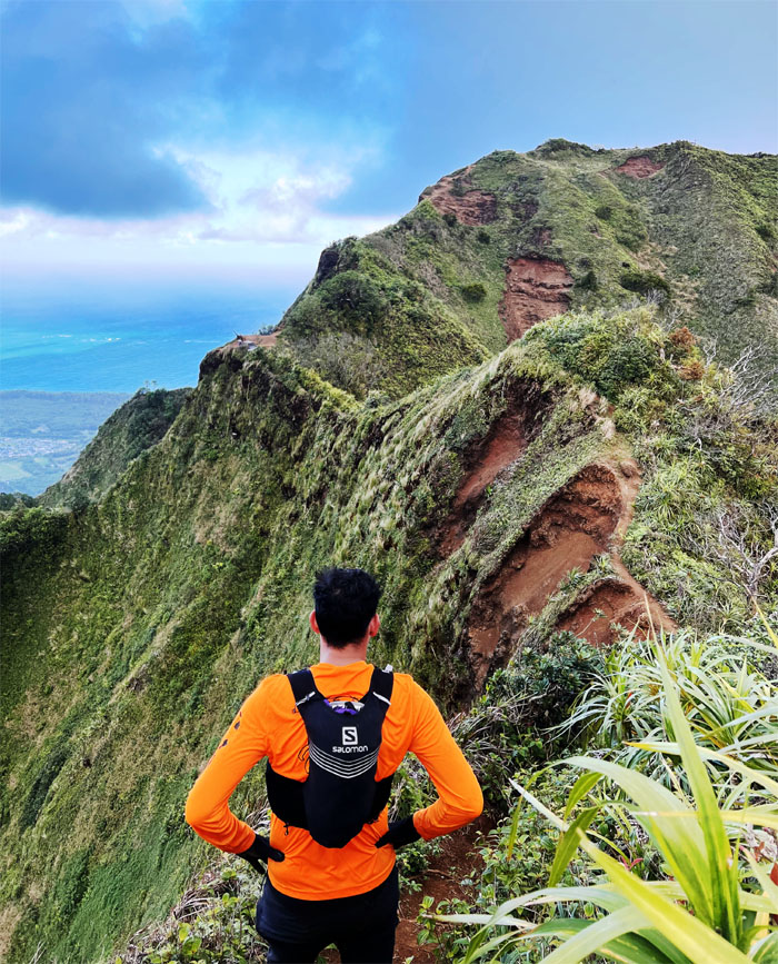
Contour
Contouring with trepidation in light of past events. Photo by Enrique Chavez.
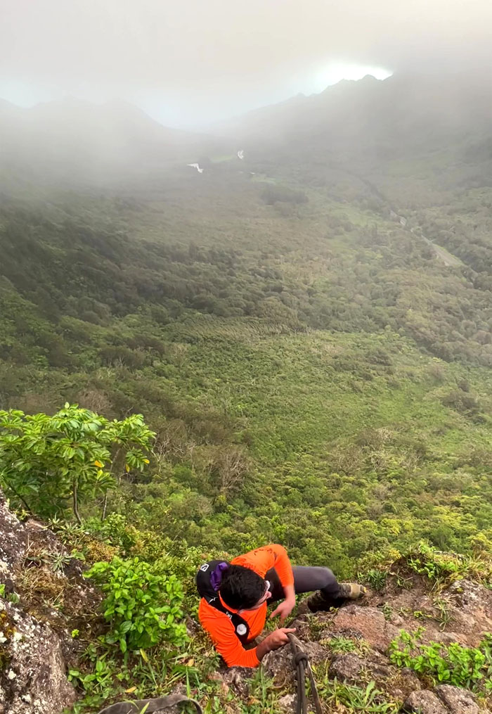
Contour
Hiking with angels.
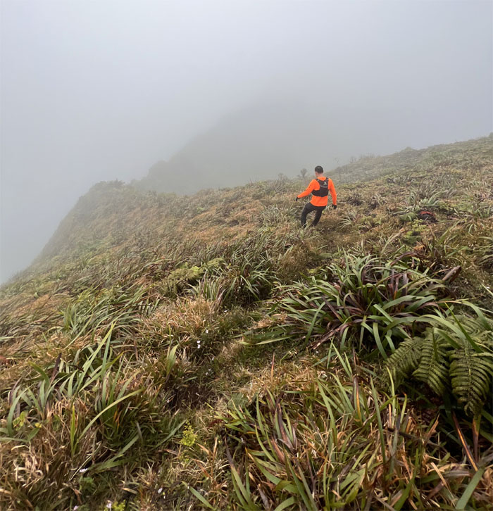
Nu’uanu Saddle
Walking on all fours is not backward evolution.
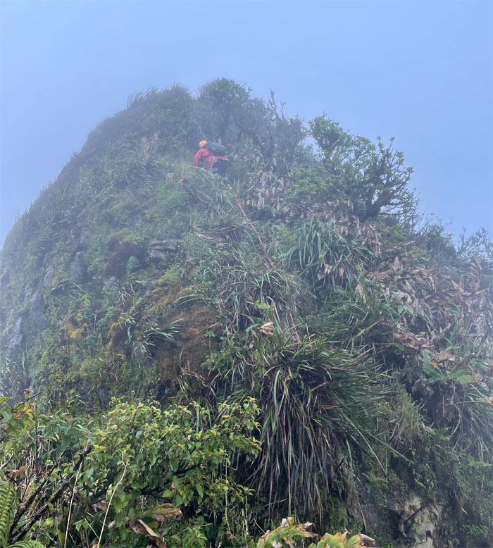
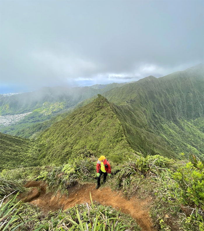
Mud Wall
Stepping up the wall. Photo by Enrique Chavez.
Piliwale Junction
Enrique passing the junction for the Windward ridge that goes down towards Maunawili.
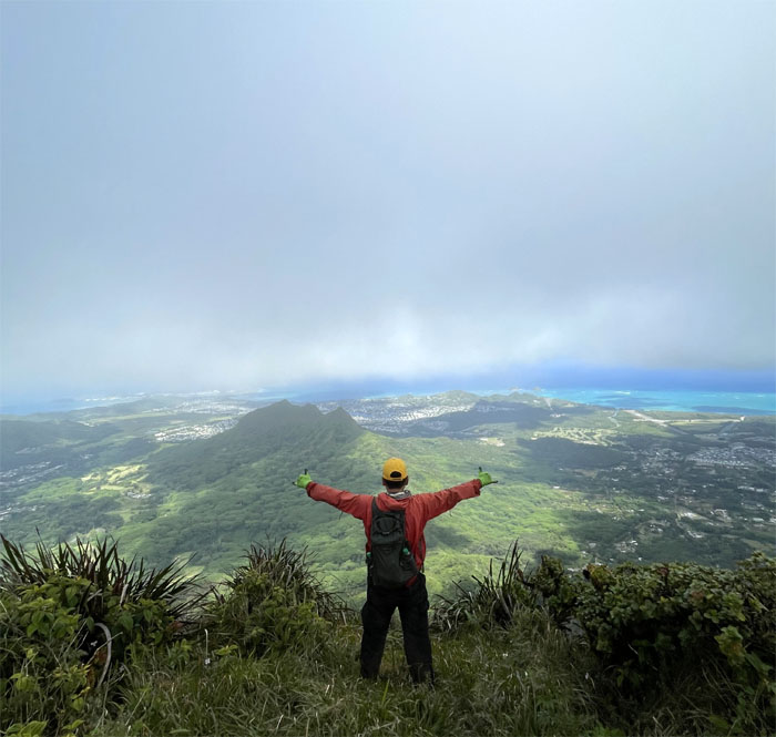
Konahuanui Summit
Throw a dart in any direction and we would have ended up with the same socked in view at the highest peak on the Ko’olau Mountain Range.
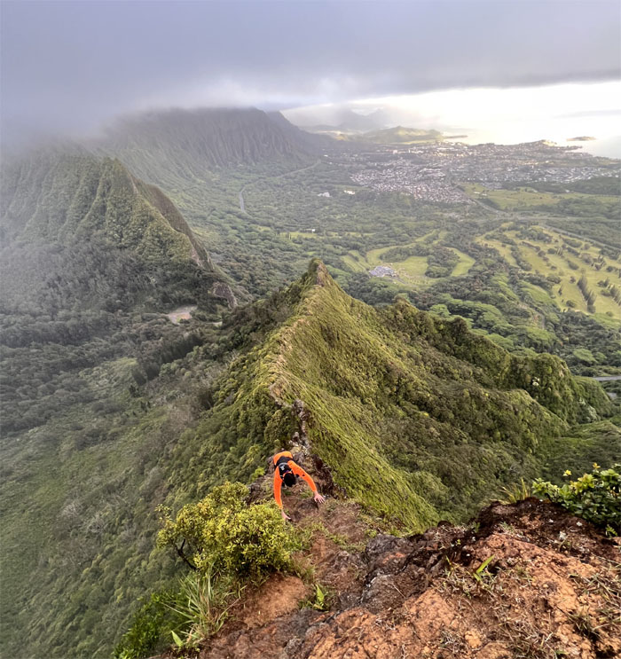
Ko’olau Summit Ridge Trail (KSRT)
We continued our traverse to the second peak or K2 and coughed. Left or right?
KSRT
Hiking in the clouds helped to lower our water consumption especially when somebody mistook one liter for five liters. The beer didn’t help.
Manoa Middle Summit
The clouds cleared up at our third summit, opening up the mountain views.
KSRT
Contouring on the Castle trail with vast valley views.
KSRT
Back on the ridge line as we made our way to the used car lot.
KSRT
Meeting up with the rutted and unmaintained section of the Wa’ahila trail. Photo by Enrique Chavez.
Awaawaloa
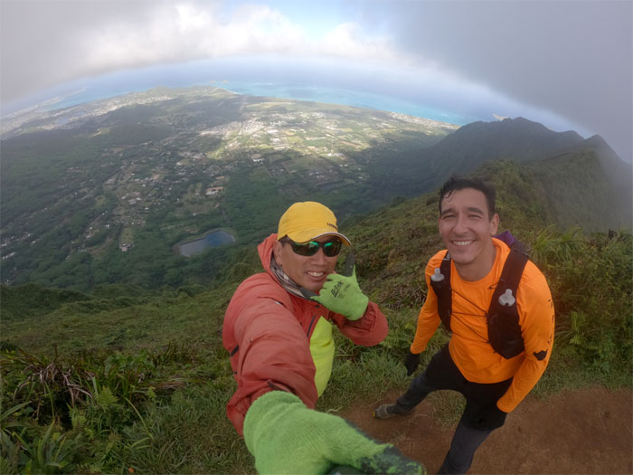
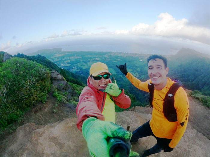
We met three hikers at the summit of Mount Olympus who also took our picture, our first interaction with other people on the trail.
KSRT
The howling winds helped to push us down from the summit.
KSRT
Hiking on the wind blasted spine of the Ko’olau Mountain Range.
Ka’au Crater
Ran into two other hikers from the opposing direction after we took our group photo at one of three tuff cones on the island. Bonus points if you can name the other two.
KSRT
Approaching the big hill that puts the other Cardiac Hill to shame.
KSRT
Looking out towards the hardest hike on the island before tackling our big climb. Photo by Enrique Chavez.
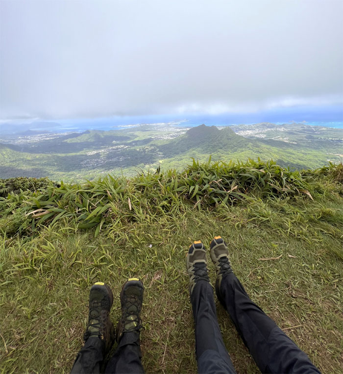
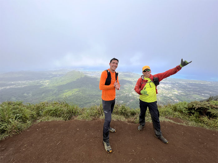
Kainawa’au Summit
Shoefie at the 2,520′ top. No hashtags. Taking a break from our faces.
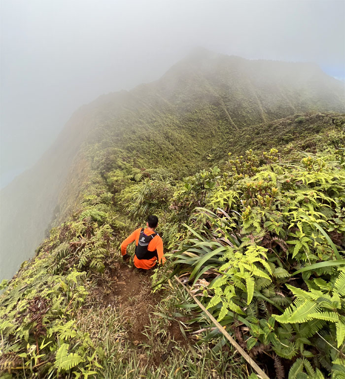
True Lanipo Summit
Descending from the 2,621′ peak seems to be back on the table. Photo by Enrique Chavez.
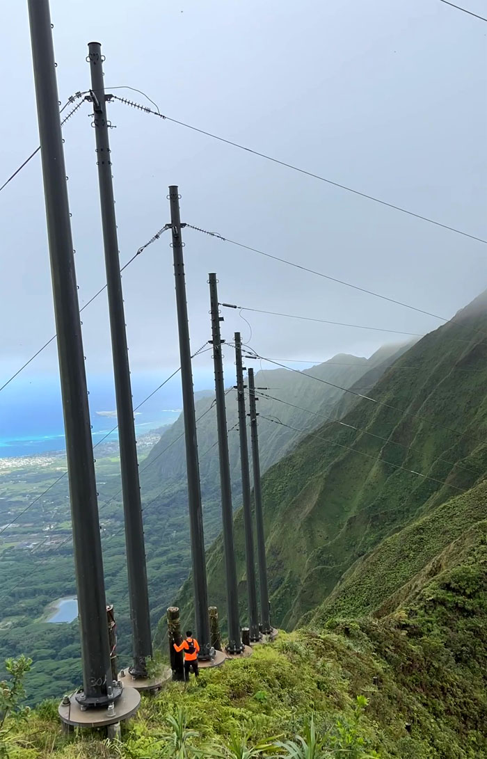
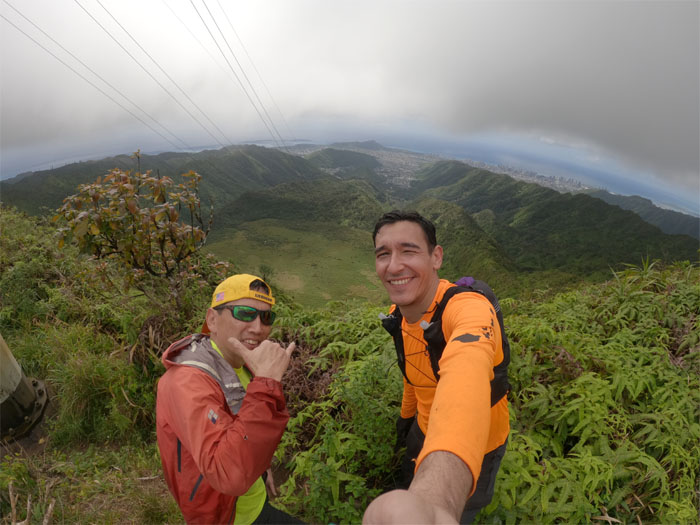
KSRT
Threading our way in between the HECO power lines.
Wiliwilinui Summit
We surprised a solitary hiker at the 2,480′ top who also took our photo. No exchanges were necessary.
KSRT
Continuing our roller coaster hike as we went down one hill and up another hill, false peak after false peak. We passed the summit of Wailupe minus the sign and the fluttering buddhist flags.
Hawaii Loa Summit
Waimanalo views from the 2,520′ knob.
KSRT
Making our way towards the 2,200′ flat topped peak of Pu’u O Kona after we passed the summit of Kulepeamoa, where we were too tired to flap our chicken wings.
KSRT
Going over the scalloped eroded section where we met a couple who were pitching their tent at the famous IG photo spot for the night.
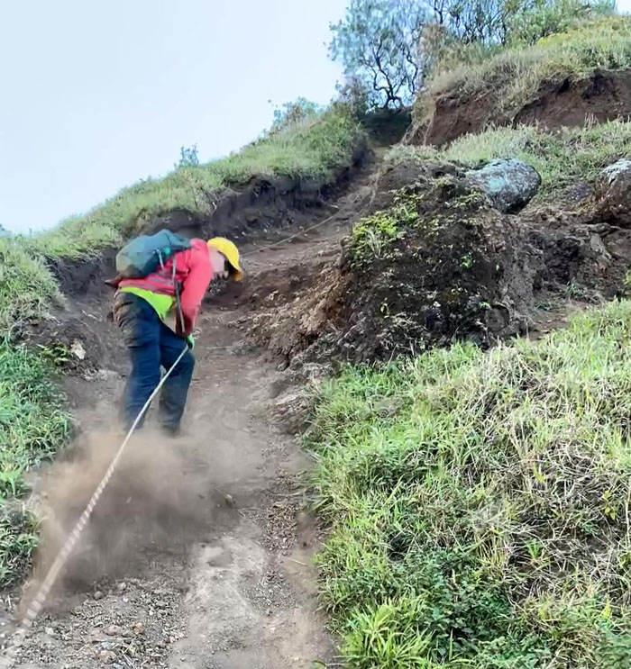
KSRT
Coming down in a cloud of dust. Photo by Enrique Chavez.
Kuli’ou’ou Summit
Our last summit group photo where we met two other hikers who had just ascended the 2,028′ eroded hill.
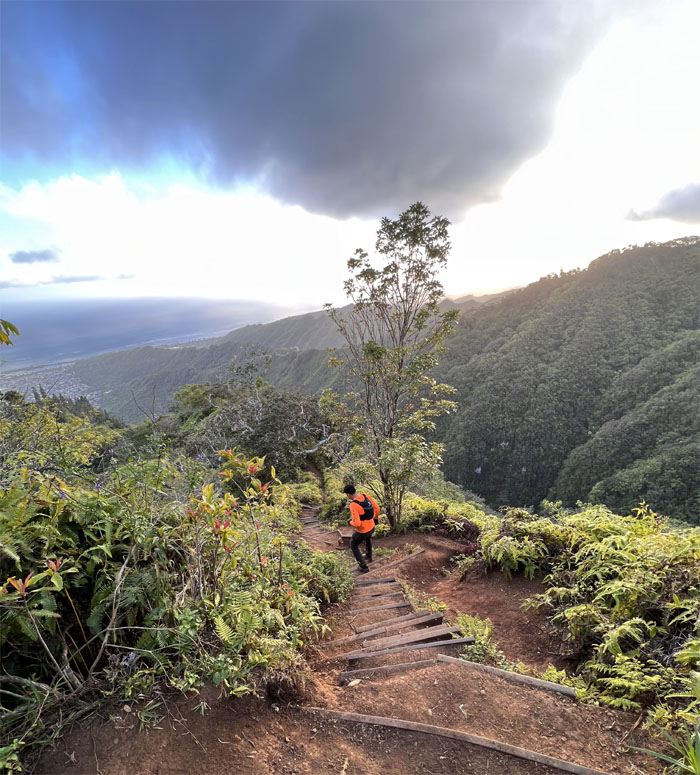
Kuli’ou’ou Trail
Walking down the sometimes slippery steps installed to retard trail erosion. I should’ve kept count.
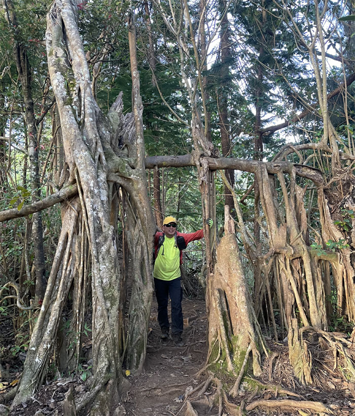
Kuli’ou’ou Trail
I think this doorway needs to be plumbed. Photo by Enrique Chavez.
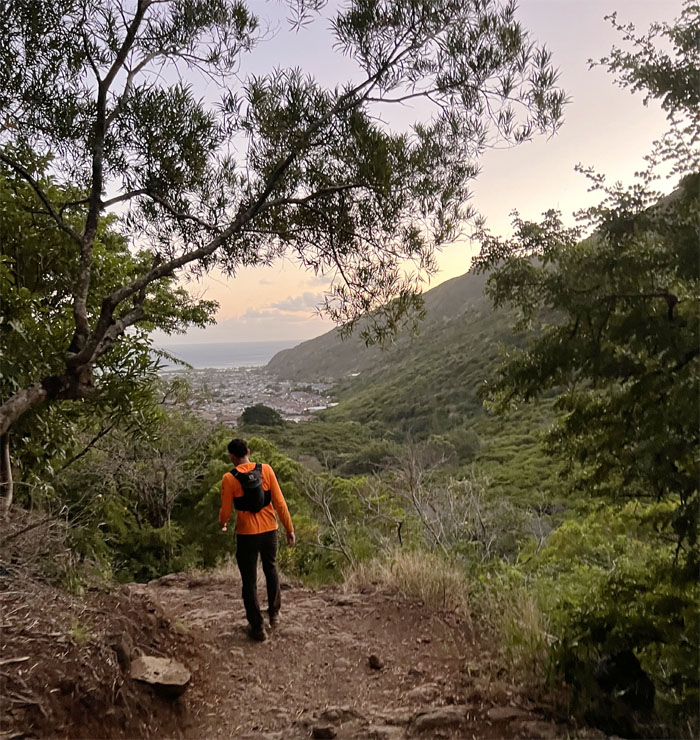
All pau
A sole trail runner passed us on the way down to the valley floor.
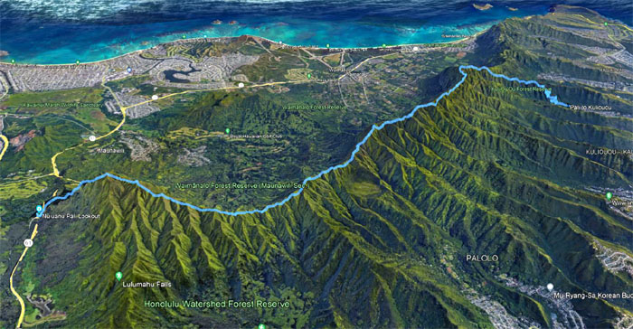
GPS Tracks
Our journey across a good stretch of the Ko’olau Mountain Range covered almost ten miles. Post hike meal at Outback Steakhouse where the prime rib was so rare, a good vet could bring it back to life. Not my quote.
Note: I have been made aware that some hikers have been using my blog as a hiking guide and getting lost on the trails. Please note that this blog was made to document the hike for the crew(s) that did it. That is why some of my comments will seem to have no relevance or meaning to anybody outside of the crew(s) that hiked that trail. My blog was never meant as a hiking guide, so please do not treat it as such. If you find inspiration and entertainment from these hikes, that is more than enough. If you plan on replicating these hikes, do so in the knowledge that you should do your own research accordingly as trail conditions, access, legalities and so forth are constantly in flux. What was current today is most likely yesterdays news. Please be prepared to accept any risks and responsibilities on your own as you should know your own limitations, experience and abilities before you even set foot on a trail, as even the “simplest” or “easiest” of trails can present potential pitfalls for even the most “experienced” hikers.
{ 0 comments… add one now }