
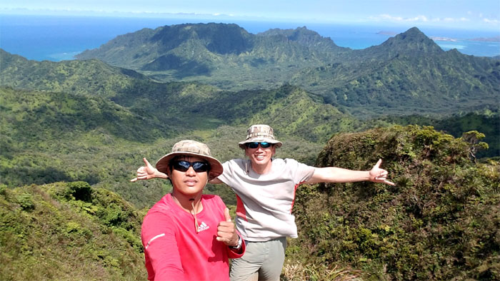
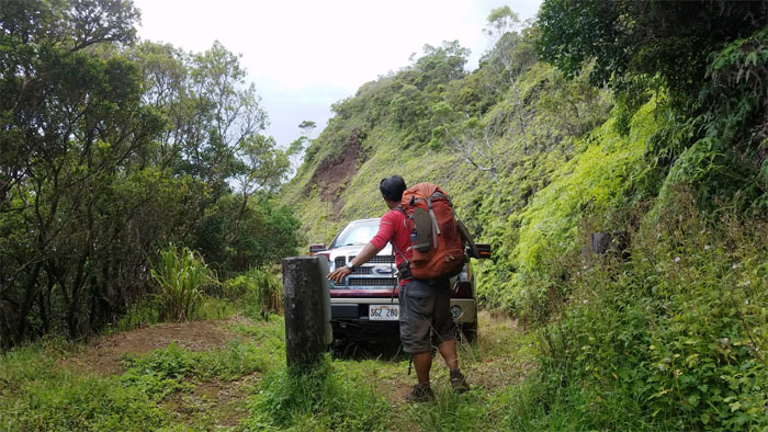
Chris and I spent the Labor Day weekend backpacking in the mountains. Thanks to Daryl for dropping us off.
Hau’ula Valley
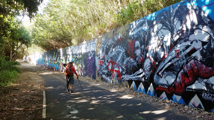
Passing the revolving wall of graffiti.
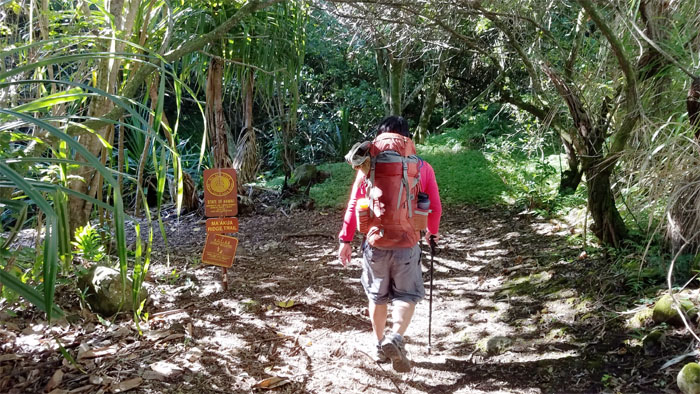
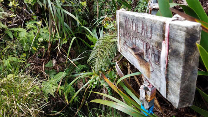
Ma’akua Ridge Trail
Leaving the road behind us.
Bench
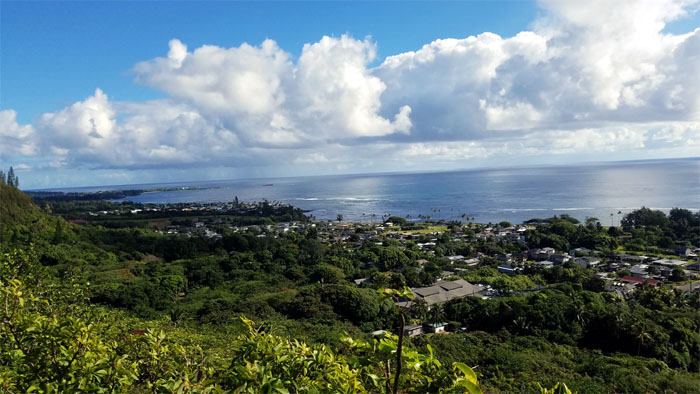
Views of the Hau’ula coastline and Laie Point to our left.
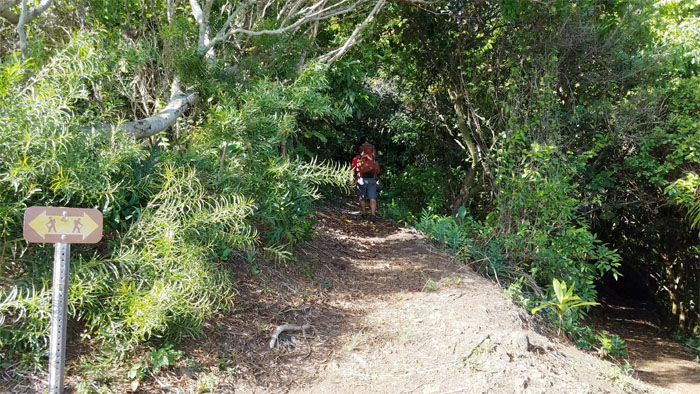
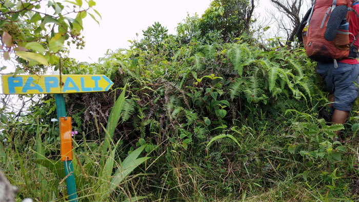
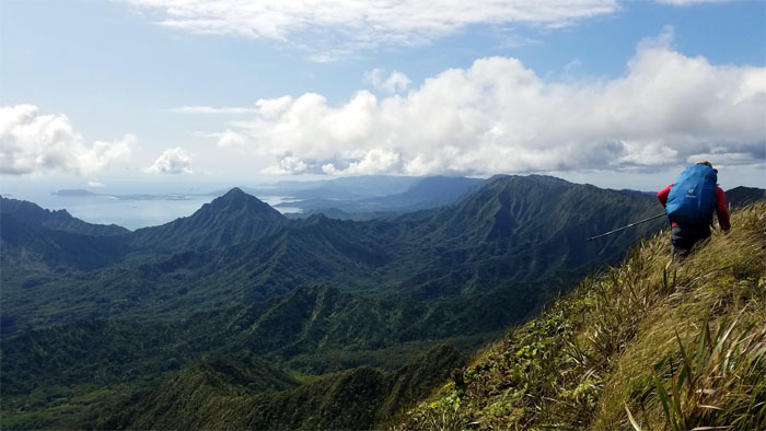
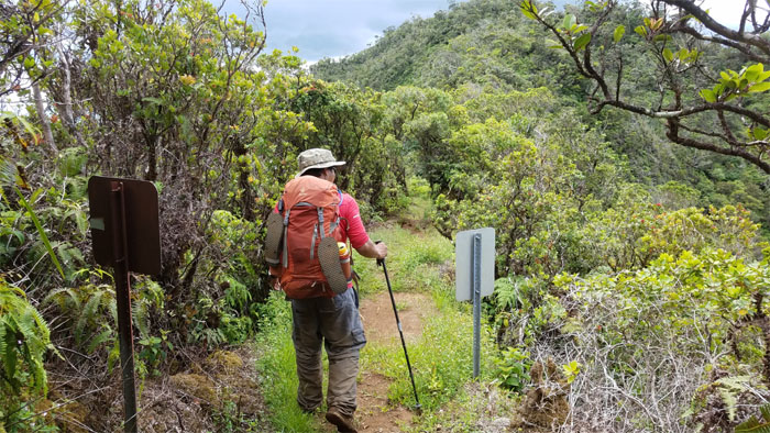
Papali Ridge
We left the loop trail to continue the climb up the ridge.
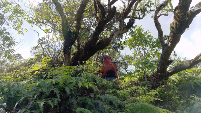
Papali Ridge
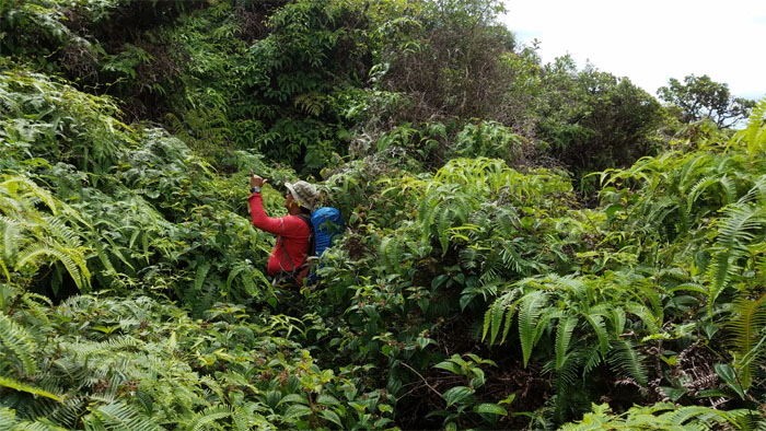
Gaining elevation through the uluhe ferns, which were surprisingly trimmed back. We found out later that some fellow hiking friends had cleared it earlier for their upcoming backpacking hike. Lucky us.
Papali Ridge
Humping up the rollercoaster ridge.
Papali Ridge
We followed the ridge line as it curved to the left towards the mountains.
Papali Ridge
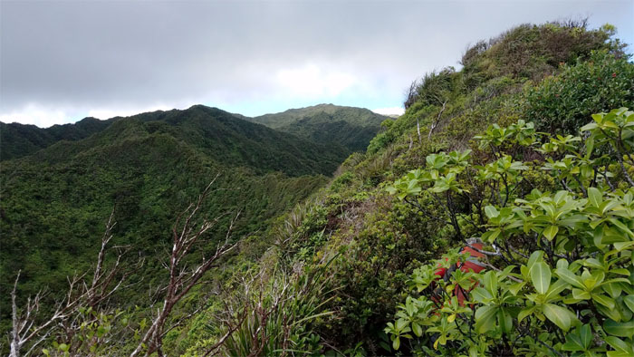
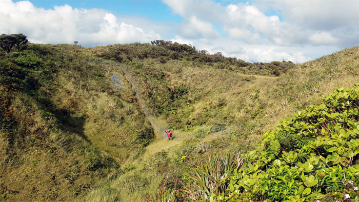
Looking ahead to the saddle crossing.
Papali Ridge
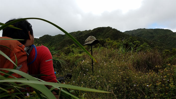
Even our boonie hats took a break in the field of flowers.
Papali Ridge
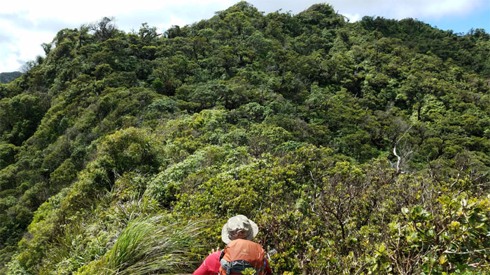
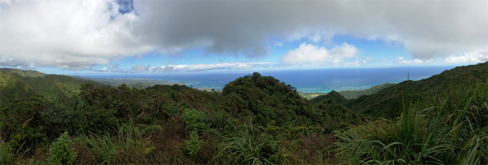
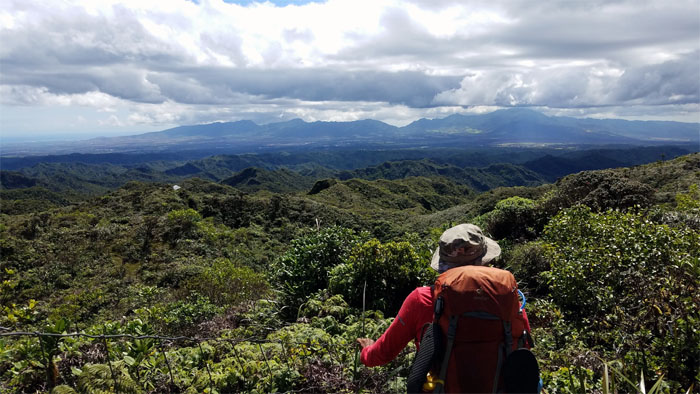
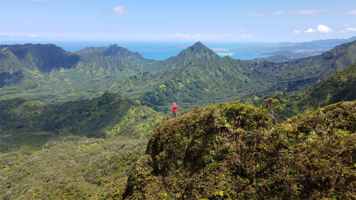
Looking back at the sweeping views of the Windward coastline.
Papali Ridge
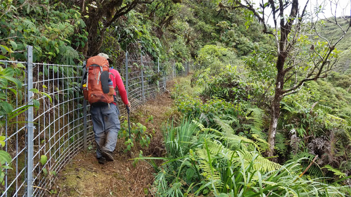
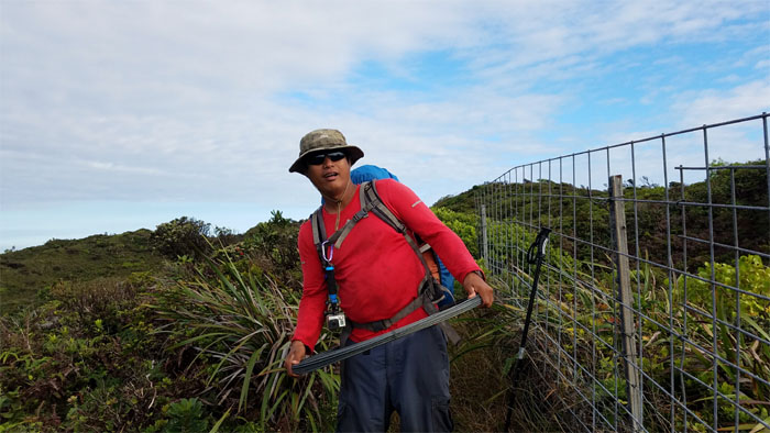
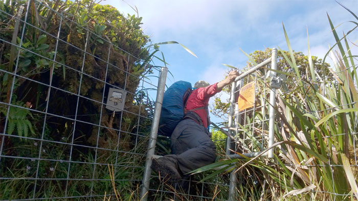
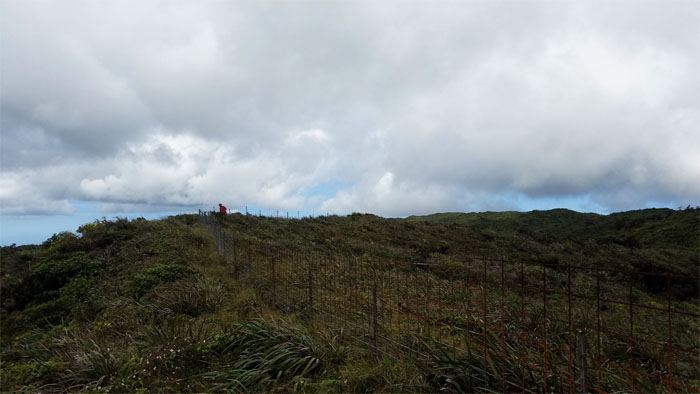
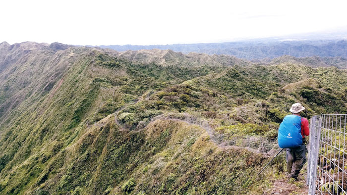
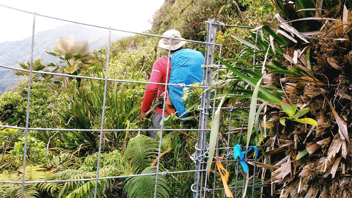
Our first contact with the sprawling fence line.
Castle Junction
The trail down to Kaluanui Stream. Not today.
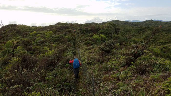
Papali Ridge
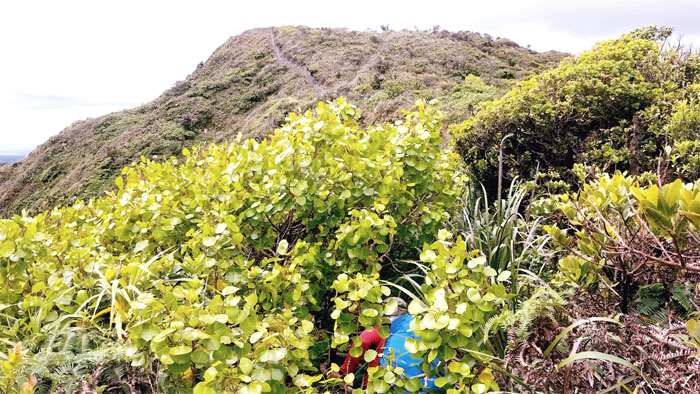
Hiking through the wide open swath made possible by the recently installed fence line.
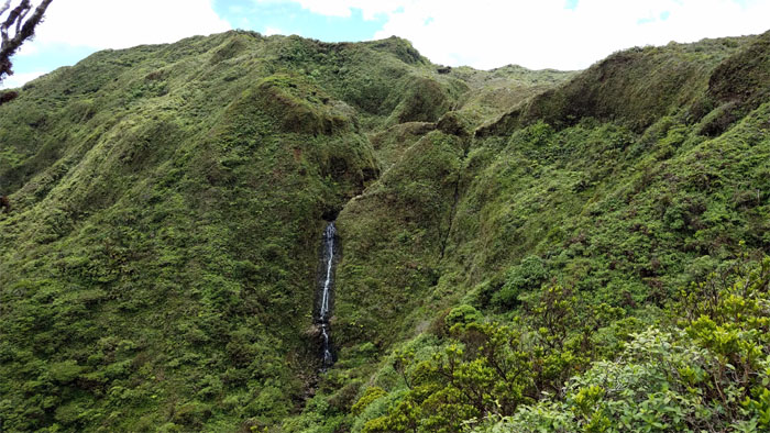
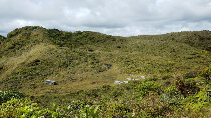
Castle Falls
We hopped over the fence to take in a brief look at this waterfall nestled back in the valley.
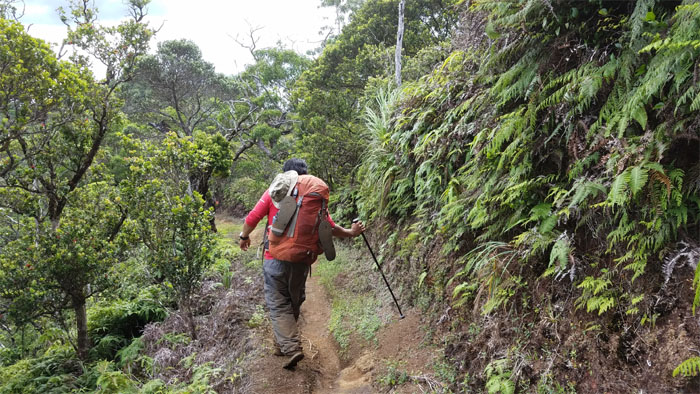
Papali Ridge
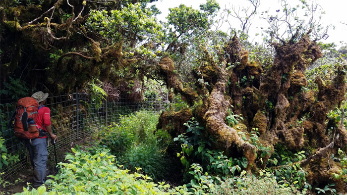
Passing a moss-ified ohia tree on the trail.
Papali Ridge
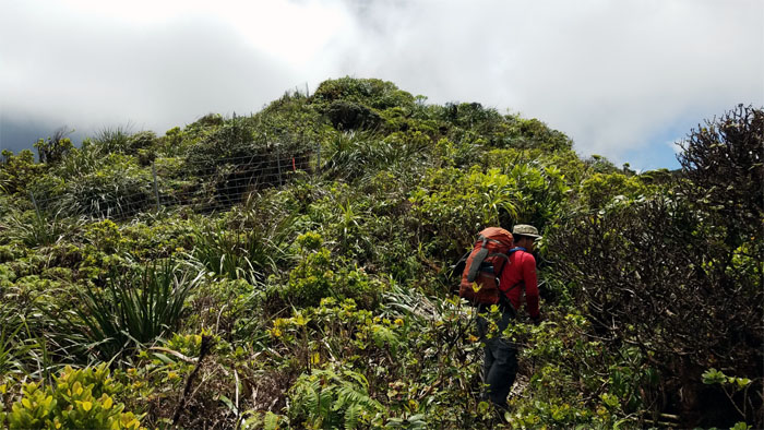
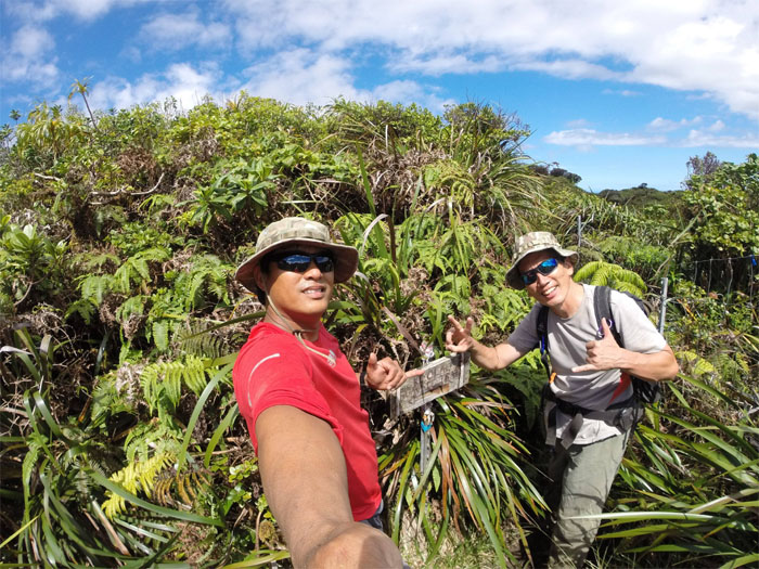
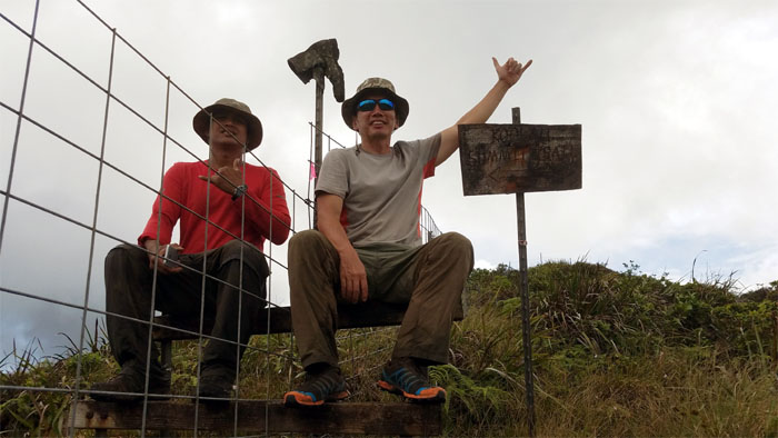
Strolling to the summit.
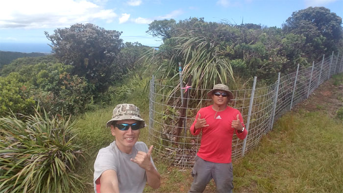
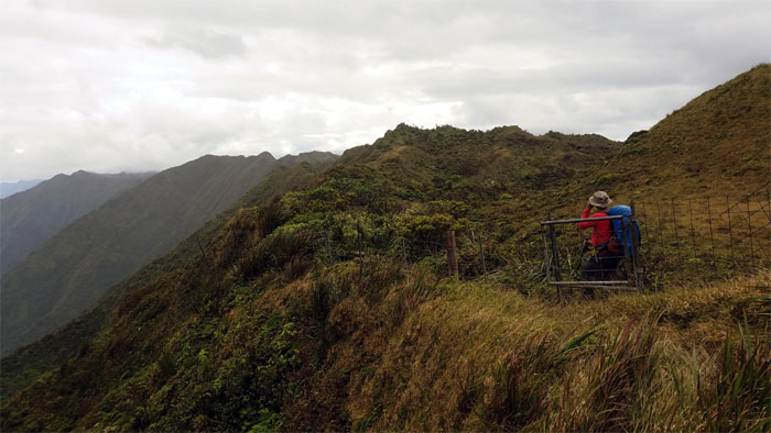
Papali Junction
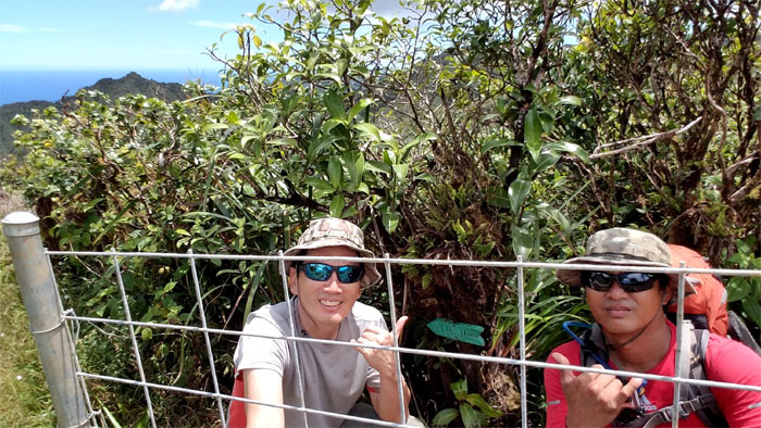
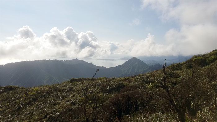
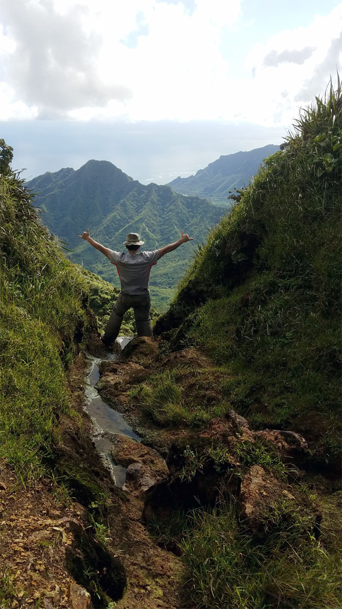
Standing on the Ko’olau Summit Trail (KST).
Ko’olau Summit Trail (KST)
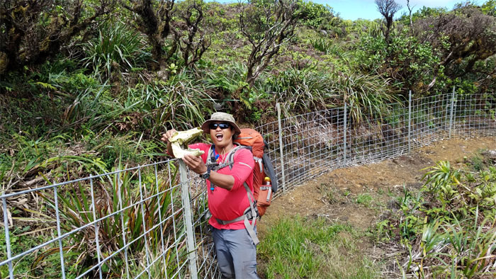
We meet again. Last time we saw this particular pua’a (pig), it had recently passed and was lying next to a tree on the other side of the fence. Somebody staked its skull to the fence post.
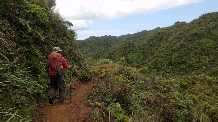
Trail
Going off the reservation. The KST reservation.
Mud pits
Trying my (un)successful best to avoid sinking into the mud. At least I didn’t sink waist deep, like on one of our last visits. Photo by Chris Bautista.
Trail
Chris pausing to soak in the views of the Waianae Mountains.
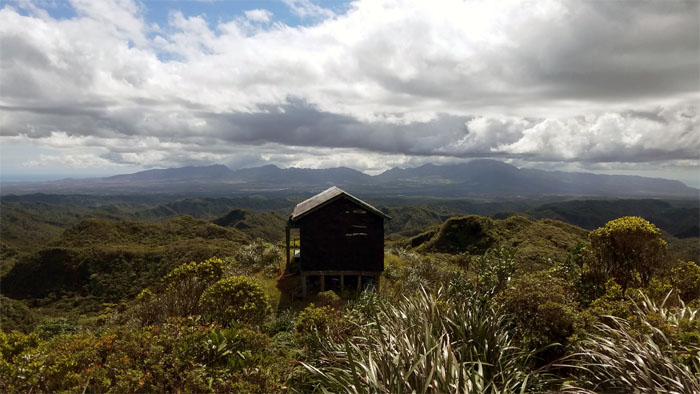
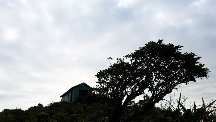
Opae’ula Cabin
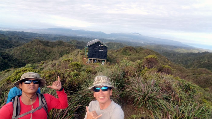
We arrived at the recently painted cabin shortly before 3pm. What time is check in?
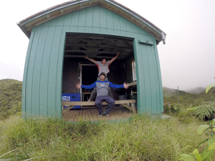
Opae’ula Cabin
It was one of the best feelings to exchange our mud soaked shoes for slippers, that I just had to jump for joy. Photo by Chris Bautista.
Opae’ula Cabin
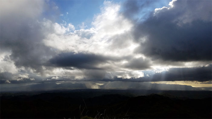
Watching the sun rays poking through the clouds and dancing across the land.
Opae’ula Cabin
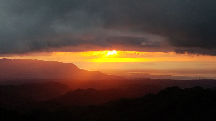
Fiery sunset on the North Shore.
Opae’ula Cabin
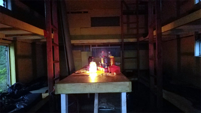
Cabin life lit by a flickering candle that needs to be replaced soon.
Opae’ula Cabin
Morning bowel movement view.
Opae’ula Cabin
We checked out at 8am. Mahalo for the hospitality!
Trail
Extreme hula hooping. Forget plastic hoops, hikers do it with metal hoops.
Trail
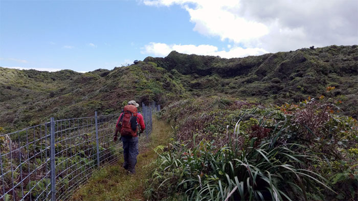
Following the fence back to the gate.
Ko’olau Summit Trail (KST)
Back on the KST. Photo by Chris Bautista.
KST
The rugged peaks of Manamana, Kanehoalani and Ohulehule poking out above the ridge line.
KST
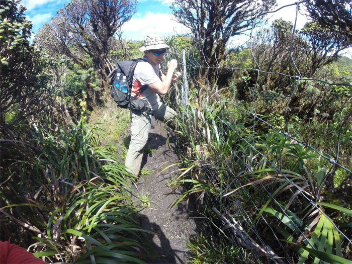
Chris passing through another gate.
KST
It was a beautiful day to be in the mountains.
KST
Chris dropped down the fence line to follow the barely moist stream bed.
Trail
Standing on top of a trickling waterfall. Photo by Chris Bautista.
KST
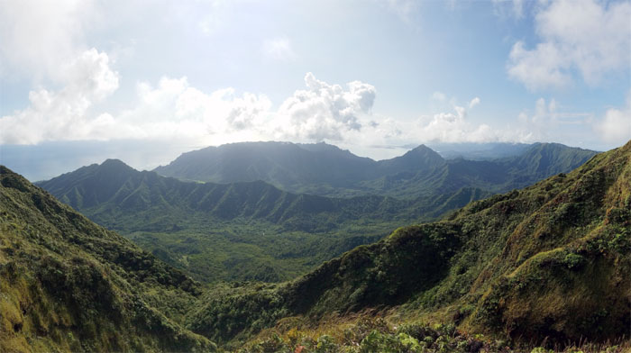
Jaw dropping views of the valleys kept us company.
Fence Meadows
Crossing the fence to get to the other fence.
Peahinaia Trail
Talks of exploring the overgrown and presumably lost trail soon fizzled out.
Boot Junction
Seated and waiting to try on a pair of boots. Make that singular. Shoelaces not included.
KST
Heading back into the jungle of uluhell ferns and assorted shrubs and trees.
KST
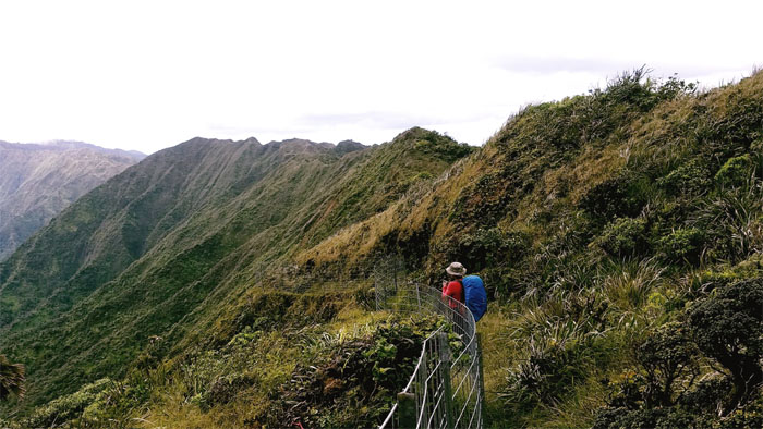
The fence line soon split into two forks. Which one to take?
KST
Outside the fence line.
KST
Inside the fence line.
KST
The contour below the ridge line is now fenced off. The gate is there if you look hard enough, otherwise climb over the fence.

KST
Hikers version of the fidget spinner.
KST
Chris getting off the ridge and fence line.
Poamoho Summit
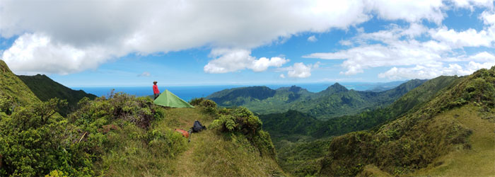
Pitching tent at the summit for strictly photographic purposes.
Poamoho Summit
Chris climbed the hill to catch a better perspective.
Poamoho Summit
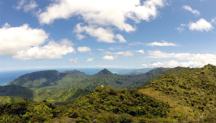
Clear day at the 2,520′ summit.
Poamoho Summit
Chris standing on one of the spur ridges looking down into the stunning valley views.
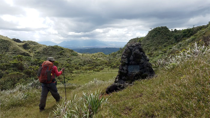
Cline Memorial
Leaving the breathtaking summit. I think over two hours was enough.
Poamoho Trail
Passing the gulch on our right.
Poamoho Trail
Transitioning from the unmaintained to the maintained trail.
Poamoho Trail
The trail going down was surprisingly bone dry. No complaints here.
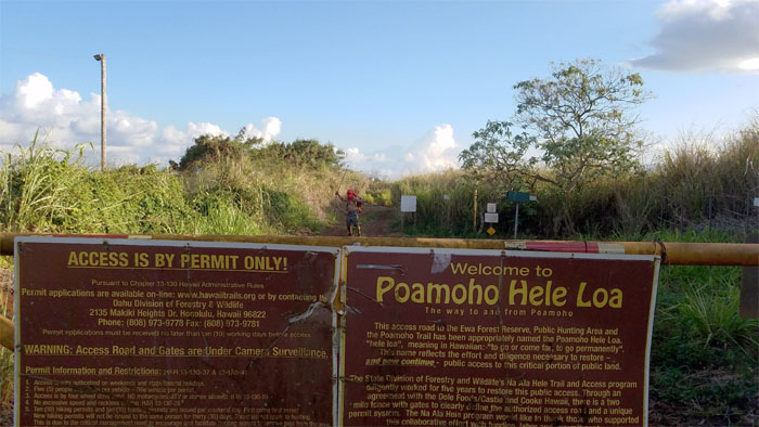
Trailhead
Is that our ride? Wishful thinking.
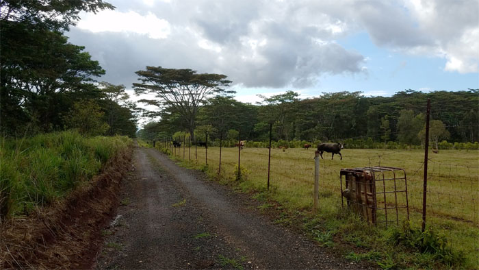
Plantation Road
I switched to auto pilot going down the mentally and physically numbing road. One foot in front of the other. Repeat until needed.
Plantation Road
Our forward progress was momentarily halted by a rather large black cow that had planted herself squarely in the middle of the road and wasn’t budging. I waited for Chris to catch up as he had shed his red shirt as some cows were following him. We soon edged around the cow to resume walking down the road and thought we had saw the last of that heifer. We were sadly mistaken. Taking a break at the second gate, we heard loud bellowing and saw the same black cow had followed us! We climbed through the barbed wire to the other road and the cow soon lost interest.
All pau
No sign of the black cow. The red ninja hiker kept us safe. Mahalo to Dale and Kamalani for picking us up on short notice.
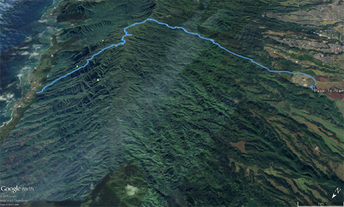
GPS Tracks
Our two day hike through some of the most scenic trails on the island covered 16.72 miles. Not a bad way to spend the weekend with good company. Post hike meal at Outback Steakhouse. Prime rib is what’s for dinner. Moooo!
Note: I have been made aware the some hikers have been using my blog as a hiking guide and getting lost on the trails. Please note that this blog was made to document the hike for the crew(s) that did it. That is why some of my comments will seem to have no relevance or meaning to anybody outside of the crew(s) that hiked that trail. My blog was never meant as a hiking guide, so please do not treat it as such. If you find inspiration and entertainment from these hikes, that is more than enough. If you plan on replicating these hikes, do so in the knowledge that you should do your own research accordingly as trail conditions, access, legalities and so forth are constantly in flux. What was current today is most likely yesterdays news. Please be prepared to accept any risks and responsibilities on your own as you should know your own limitations, experience and abilities before you even set foot on a trail, as even the “simplest” or “easiest” of trails can present potential pitfalls for even the most “experienced” hikers.
{ 0 comments… add one now }