
Our original hike to Bolohead got aborted due to rainy weather, so since Chris and Justin had still yet to taste the Northern KST trails, we headed out to the North Shore. Photo by Chris Bautista.
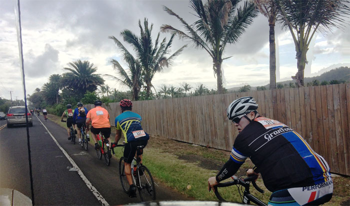
Bicycle Race
I want to ride my bicycle. I want to ride it where I like. I want to ride my bicycle, races are coming your way. Fat bottomed bicyclists, they’ll be riding today. Paraphrased from the Queen song “Bicycle Race.”
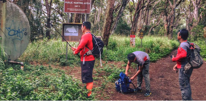
Camp Pupukea
Getting ready for the rain and the bushwhacking. Photo by Tessa Bugay.
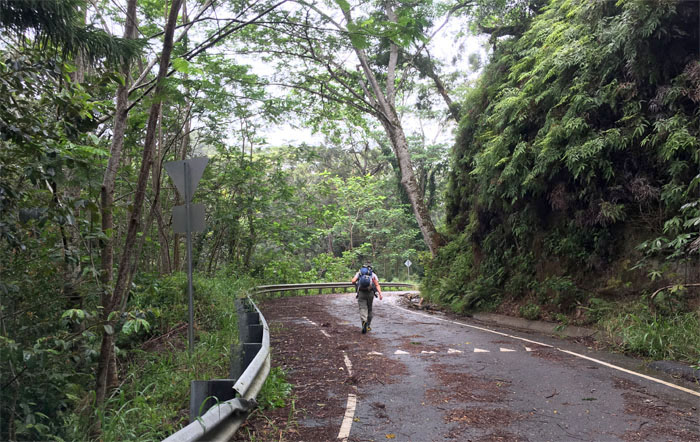
Paalaa Uka Pupukea Road
Walking up the road that time forgot. Photo by Justin Hirako.
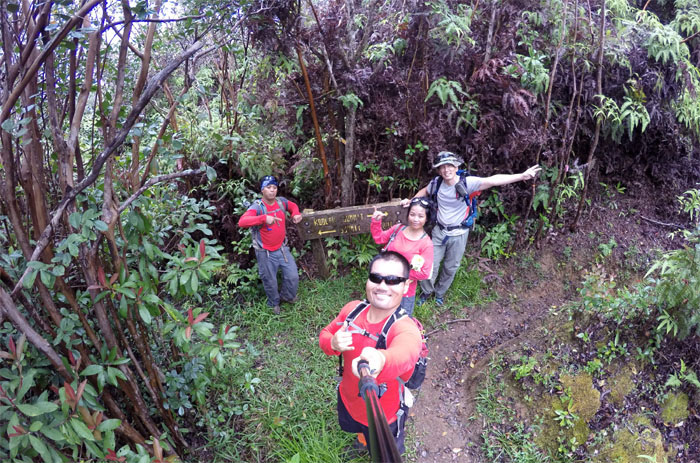
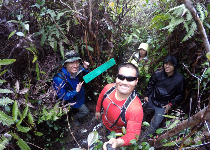
Black Junction
The official start of our hike and the beginning of the Ko’olau Summit Trail. Group photo by Justin Hirako, left to right: Chris, Justin, Tessa and myself.
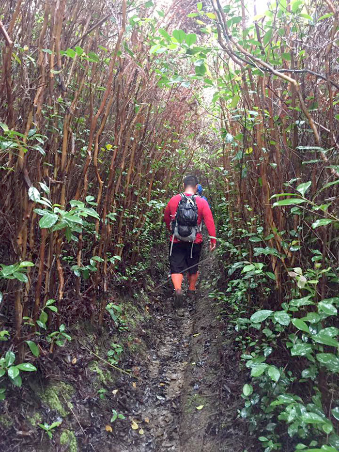
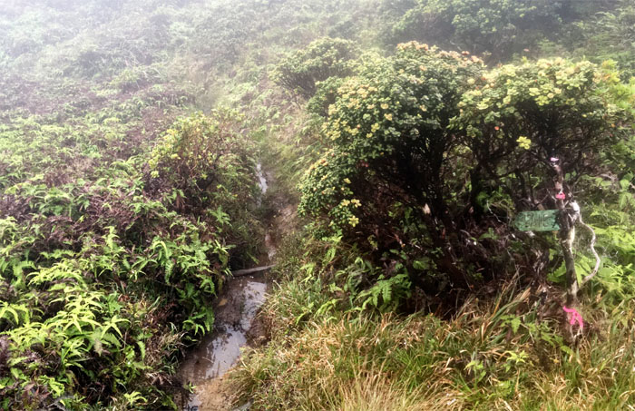
Ko’olau Summit Trail (KST)
So far, so good. What bushwhacking? Photo by Chris Bautista.
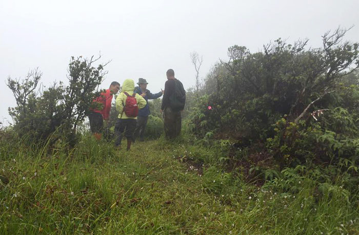
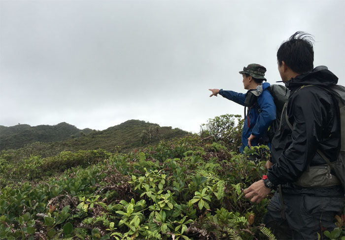
Pu’u Hina
We met another hiker who had turned around on the trail. Pity. He did not get to experience the full experience of this trail. Photo by Chris Bautista.
KST
Swallowed up by the overgrowth. Photo by Justin Hirako.
KST
When the overgrowth drives you into an insane frenzy. Luckily, the machete was dull.
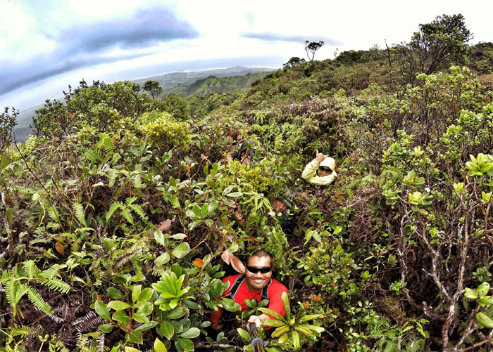
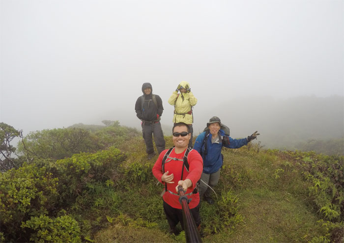
KST
Group photo at the halfway point. Photo by Justin Hirako.
KST
We still got two more hours of this sh*t. I mean punishing overgrowth. Photo by Justin Hirako.
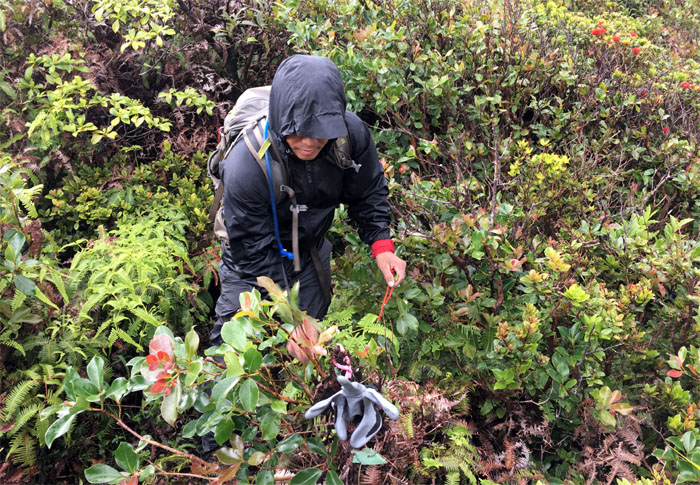
KST
What happens when the mountain wants to go home with you. Photo by Tessa Bugay.
Malaekahana Junction
Is the inanimate object giving us the finger? Photo by Justin Hirako.
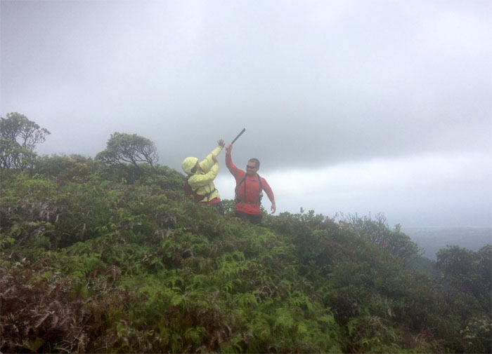
Laie Junction
We slogged through the muddy trail up to the summit to find … Photo by Justin Hirako.
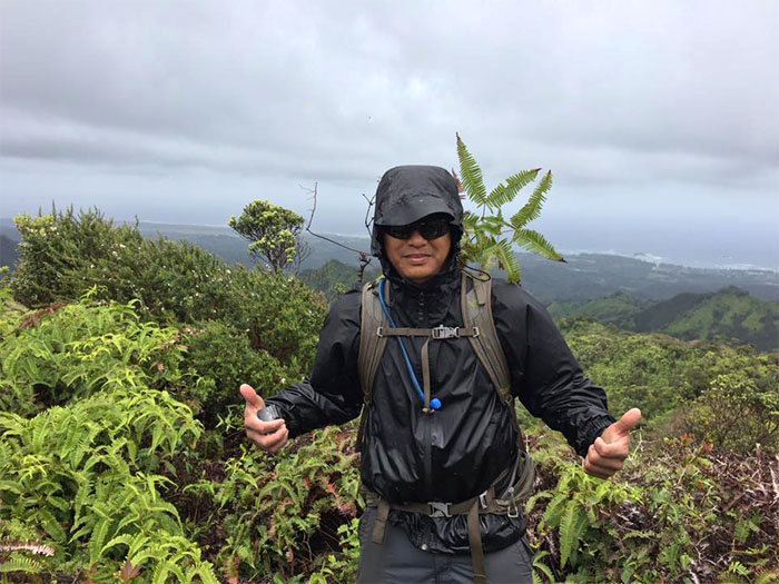
Laie Summit
… pristine and panoramic views of clouds all around us. Photo by Justin Hirako.
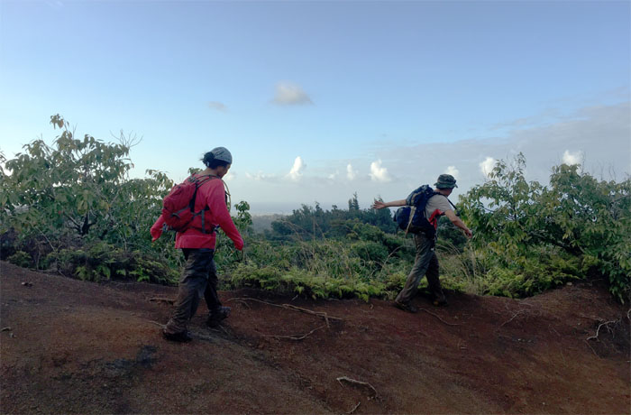
All pau
Trying to beat the sun going down. Photo by Justin Hirako.
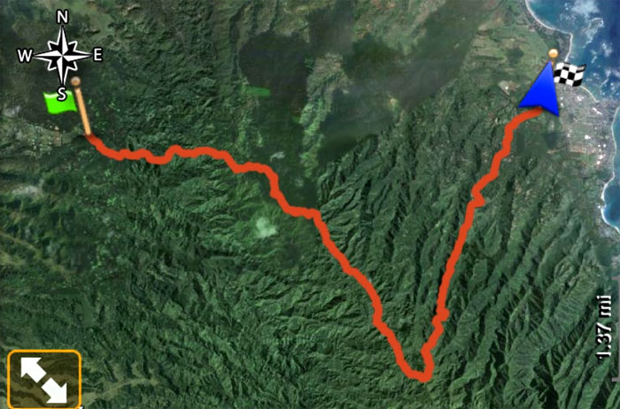
GPS Tracks
Our Plan B hike covered 12.6 miles through some of the most country, country terrain one will find this side of the KST. Great hike with a fun crew. Post hike meal at Ted’s Bakery. We came for the dinner and stayed for the chocolate haupia pie.
Note: I have been made aware that some hikers have been using my blog as a hiking guide and getting lost on the trails. Please note that this blog was made to document the hike for the crew(s) that did it. That is why some of my comments will seem to have no relevance or meaning to anybody outside of the crew(s) that hiked that trail. My blog was never meant as a hiking guide, so please do not treat it as such. If you find inspiration and entertainment from these hikes, that is more than enough. If you plan on replicating these hikes, do so in the knowledge that you should do your own research accordingly as trail conditions, access, legalities and so forth are constantly in flux. What was current today is most likely yesterdays news. Please be prepared to accept any risks and responsibilities on your own as you should know your own limitations, experience and abilities before you even set foot on a trail, as even the “simplest” or “easiest” of trails can present potential pitfalls for even the most “experienced” hikers.
{ 0 comments… add one now }