
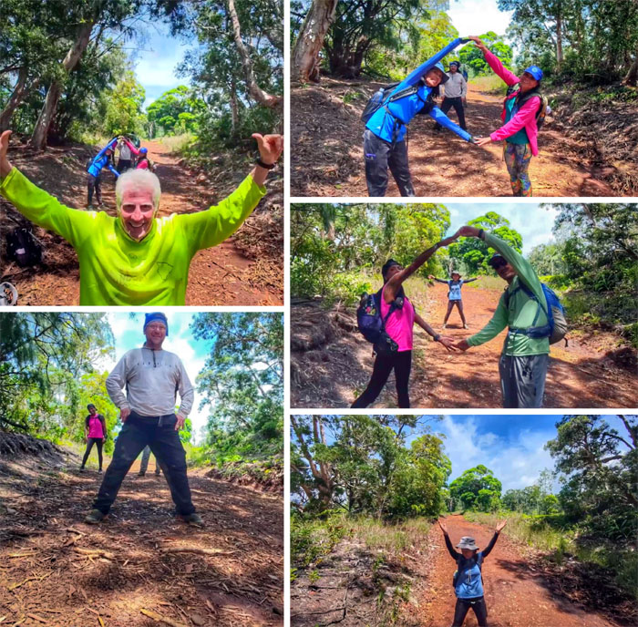
We decided to roam the hills and walk down a jeep road this Mother’s Day.

Helemano
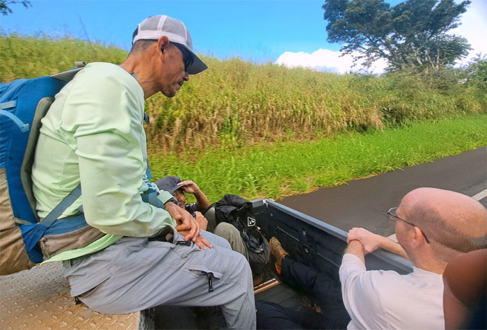
Thanks to Sandra, our German driver, who shuttled us to our starting point in her Japanese truck.
Paalaa Uka Pupukea Road
Where are the seatbelts? Is this OSHA approved?
California Avenue
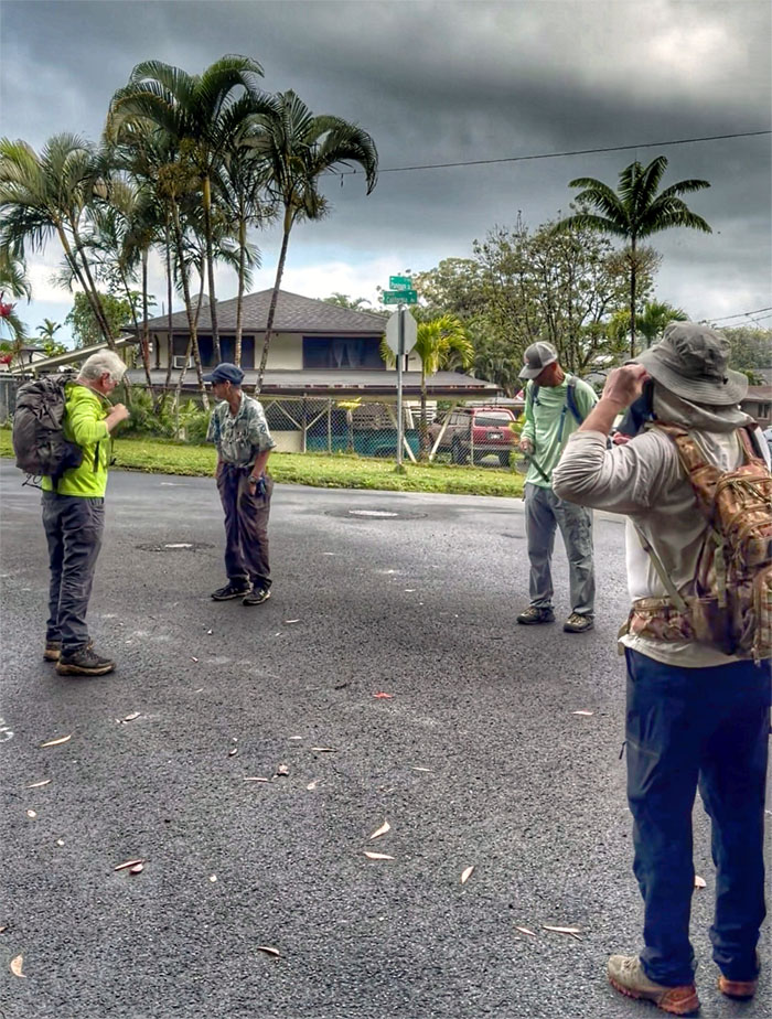
You know Chief Logan? A reserve HPD officer approached us to make sure we were not up to any nefarious activities, like smoking weed or something.
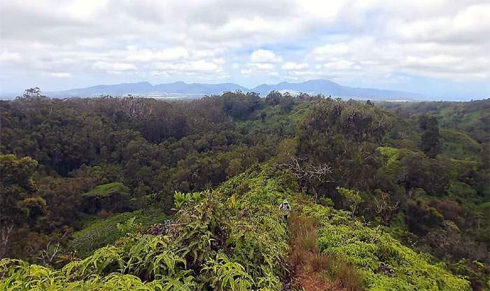
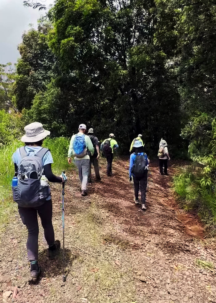
Wahiawa Hills
Plunging into the forest laced with woody and minty undertones.
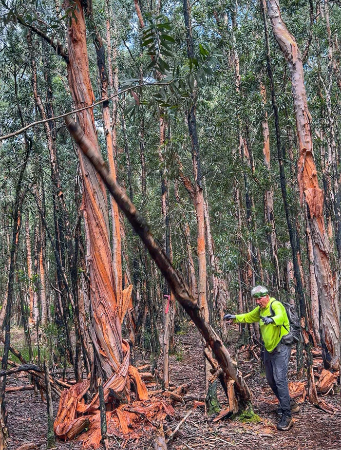
Wahiawa Hills
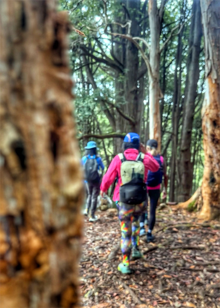
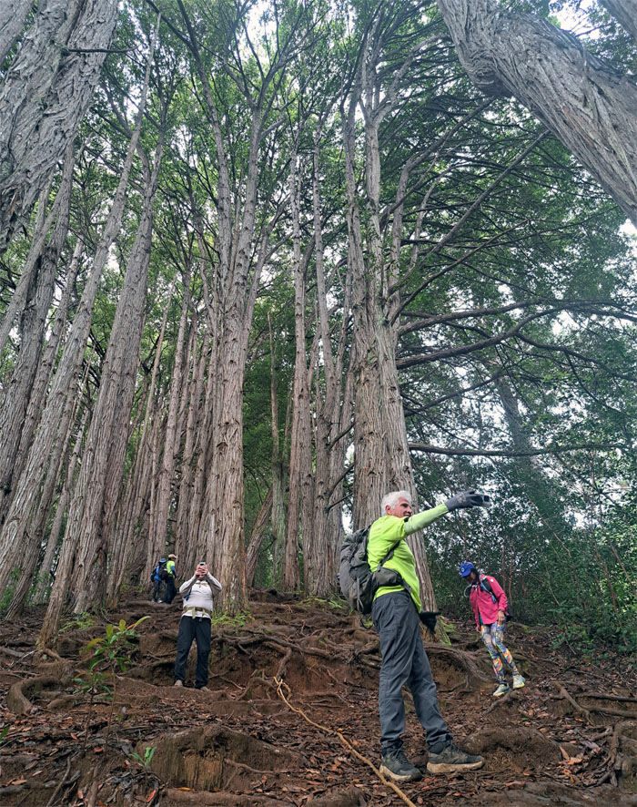
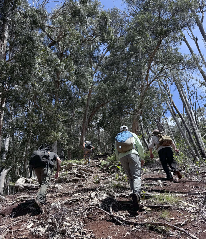
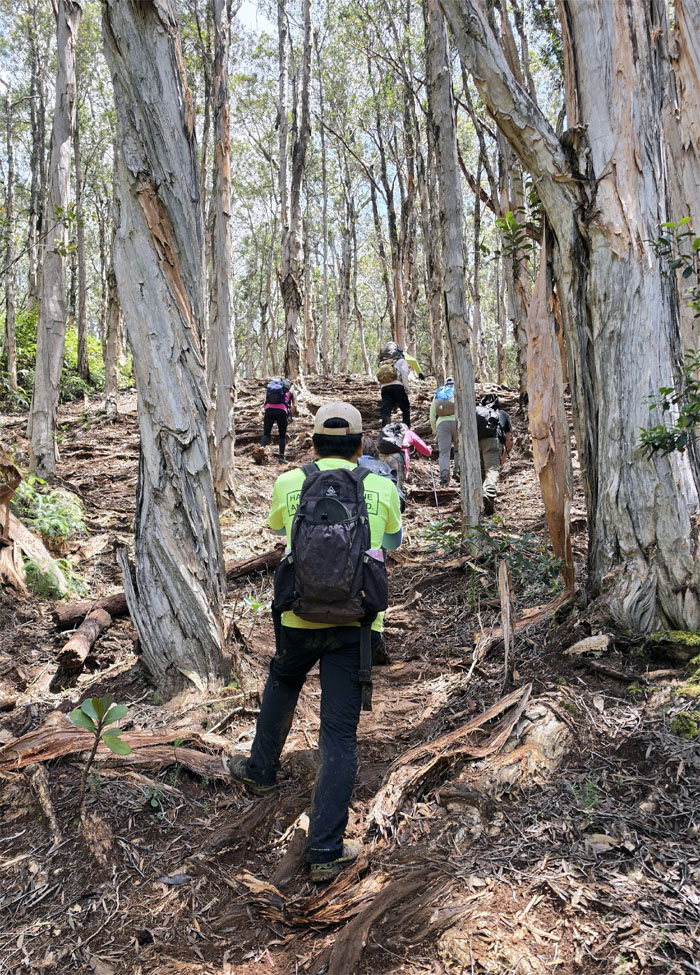
The group dwarfed by the towering eucalyptus trees that were introduced to the islands in the 1870s for timber. They are considered invasive as they leach toxins into the soil that prevents native trees from taking root and flourishing.
Wahiawa Hills
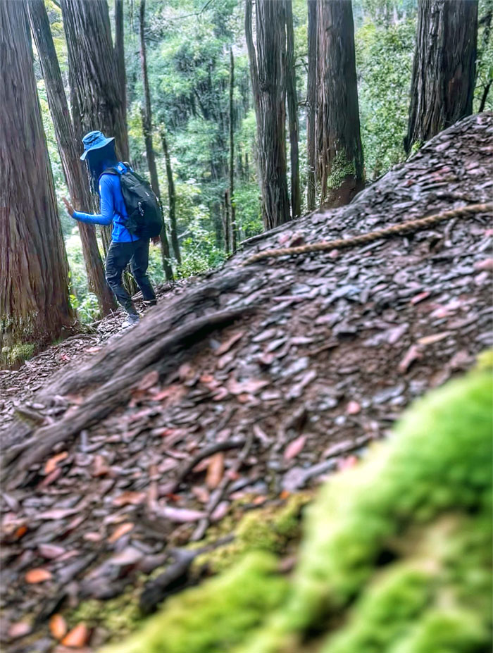
Aida passing patches of green moss on her way down the hill.
Wahiawa Hills
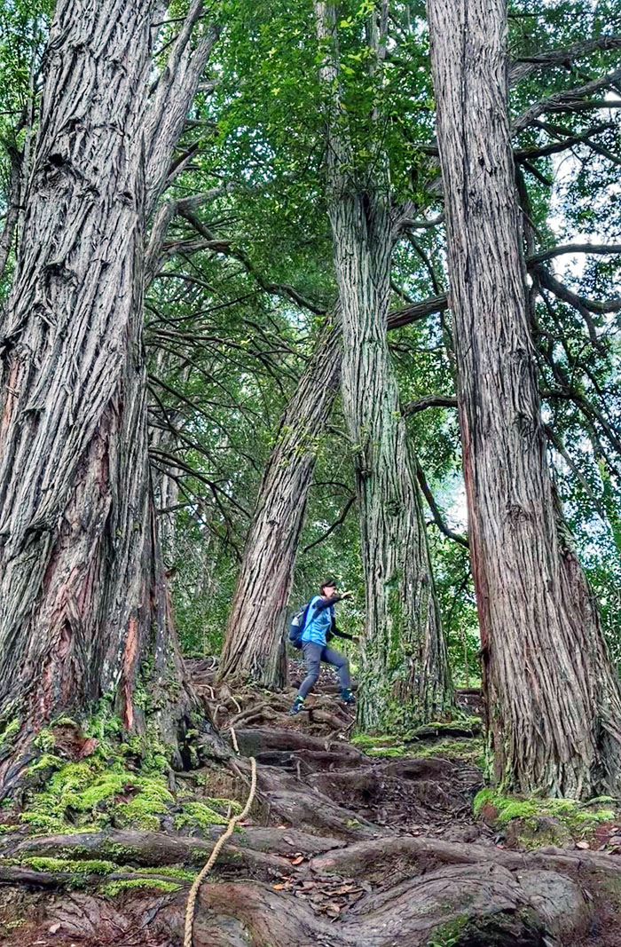
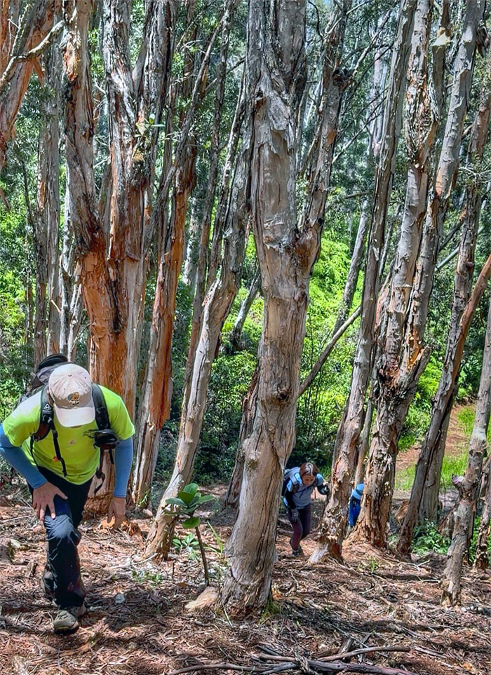
Mari climbing her way carefully down the rooted hill. One wrong step and you’re tumbling or twisting your ankle.
Wahiawa Hills
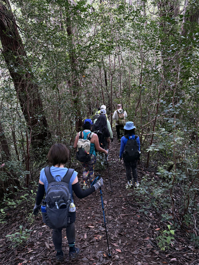
Treading over the tangled and twisted roots that carpeted the trail.
Wahiawa Hills
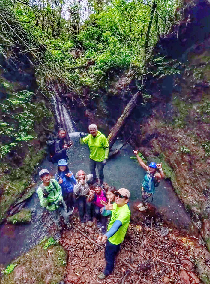
Slight detour to see the side waterfall.
Wahiawa Hills
Akira scampering up a fallen tree to avoid getting wet.
Wahiawa Hills
The rest of us tried our best in staying dry.
Wahiawa Hills
Going up our first hill as we passed through the taro and ti leaf patches that were obviously being cultivated.
Wahiawa Hills
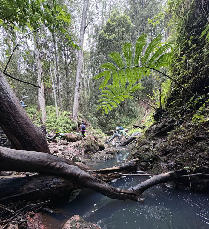
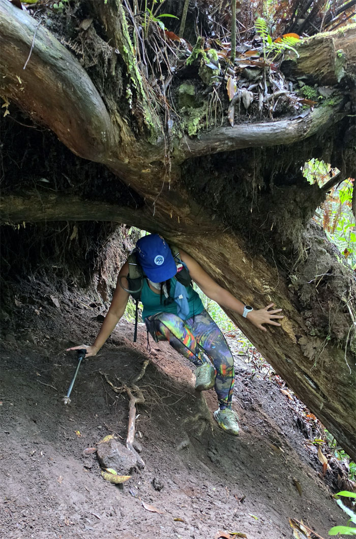
Cristy nimbly going underneath the fallen tree.
Wahiawa Hills
Leaving the “trail” to descend down the hill.
Wahiawa Hills
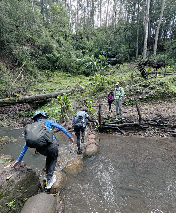
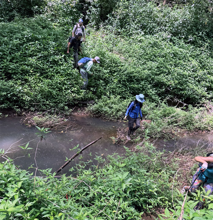
The group descending down to their second water crossing. This time, everybody is getting wet. No matter what.
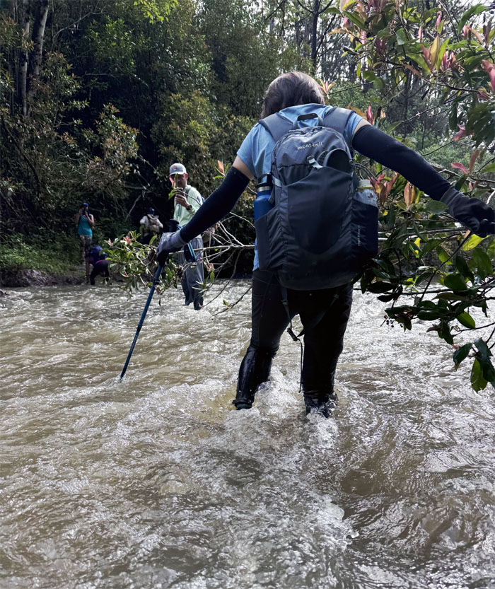
Kaukonahua Stream
Mari fording the longest stream on the island, measuring 33 miles that empties into Kai’aka Bay in Waialua.
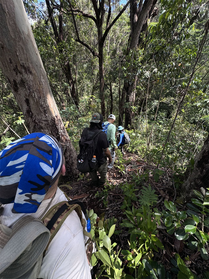
Wahiawa Hills
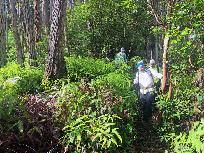
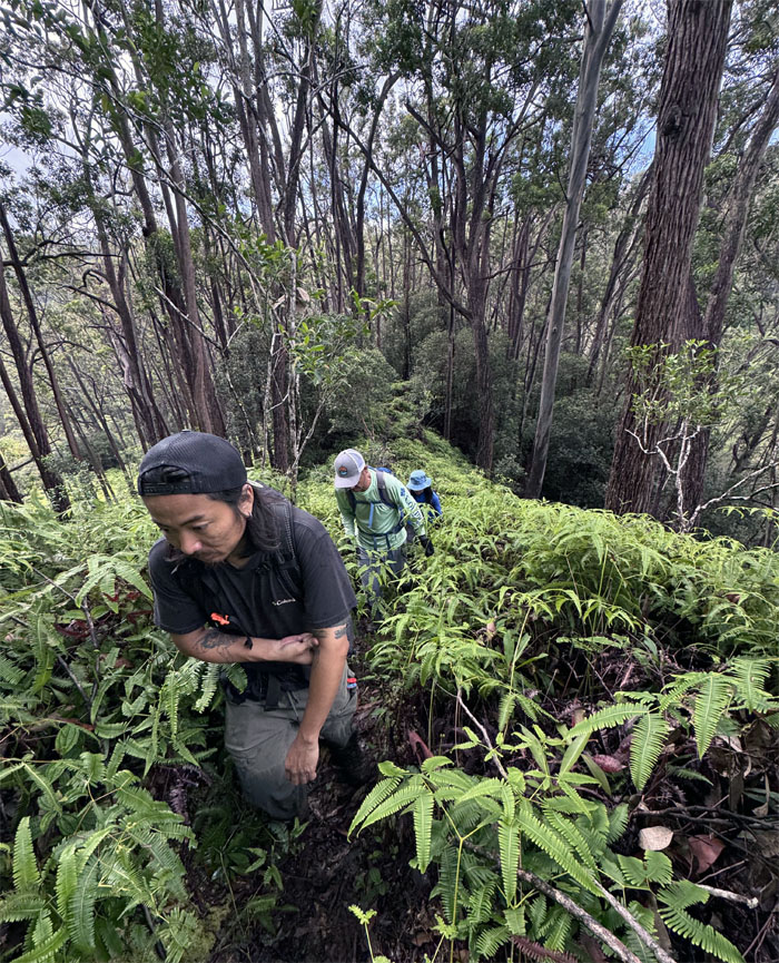
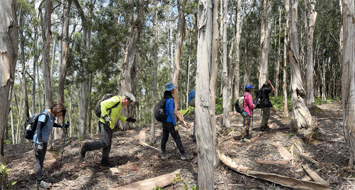
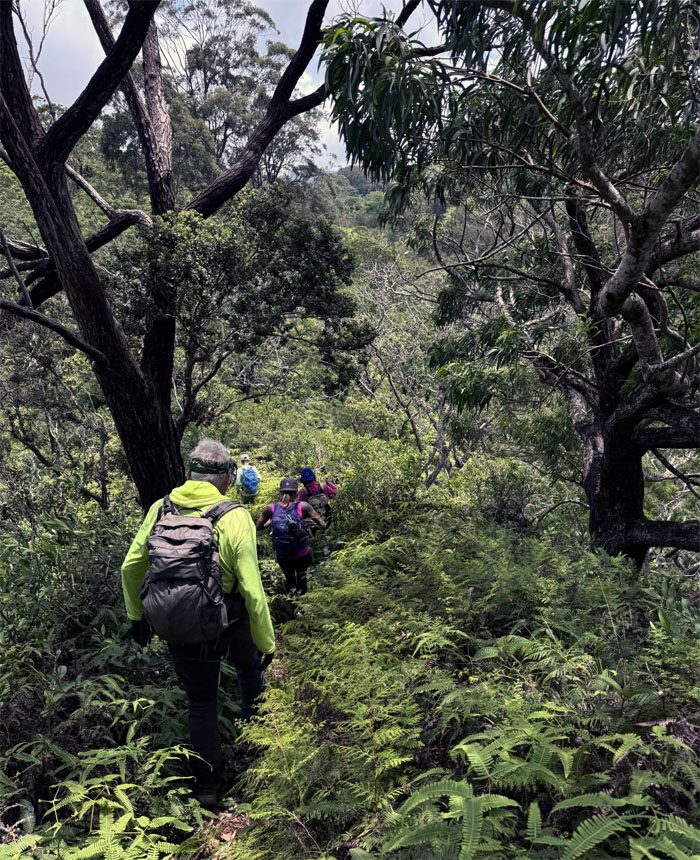
Pushing our way up through the uluhe infested hill.
Wahiawa Hills
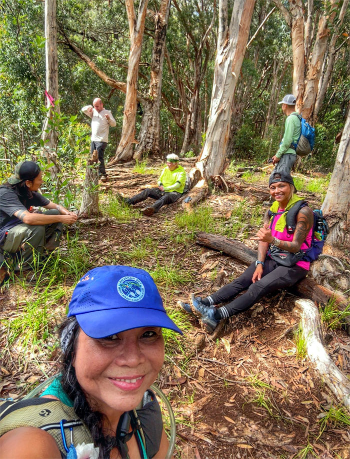
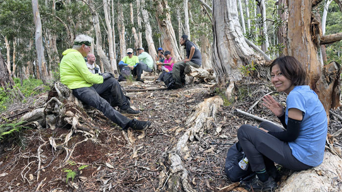
The group resting after our first “cardio climb.” More to come.
Wahiawa Hills
Alexis following the edge of the tree line.
Wahiawa Hills
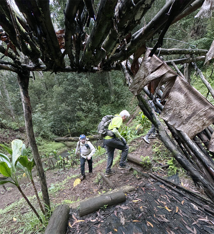
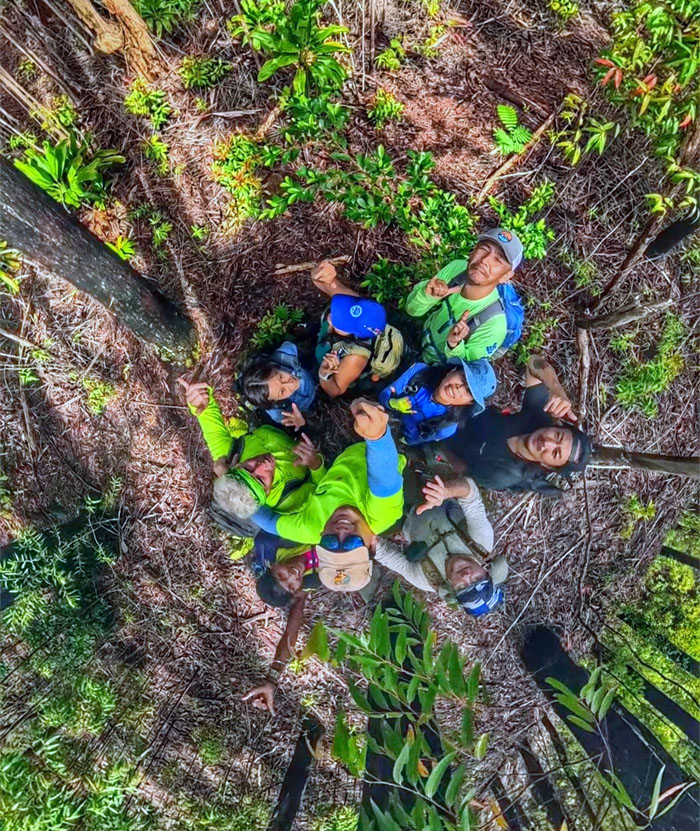
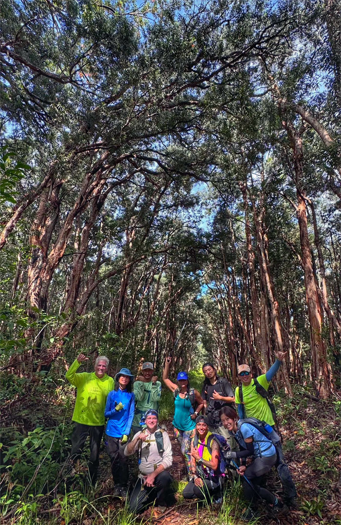
Fitting nine hikers on the geo stone structure in the middle of the woods.
Wahiawa Hills
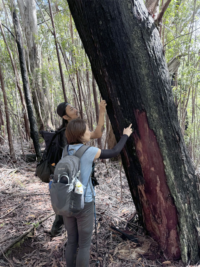
Kenny and Mari checking out a “charcoal” tree, possible remnants from the brush fire that scorched 500 acres back in 2015.
Wahiawa Hills
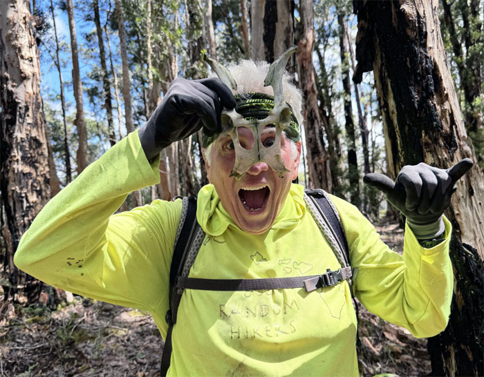
You guys think we can get a thousand bucks for this photo? That ship has sailed.
Wahiawa Hills
Photo shoot is over. We soon left the loop trail to stay on course to our destination.
Wahiawa Hills
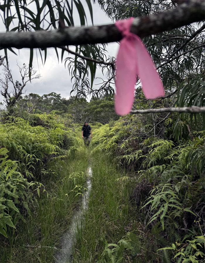
Let’s follow the sign, the second time.
Wahiawa Hills
If a tree falls in a forest, and somebody records it, then it does make a sound.
Wahiawa Hills
Dropping down another hill. This place is not called Wahiawa Hills for nothing.
Poamoho Stream
Our last stream crossing of the day.
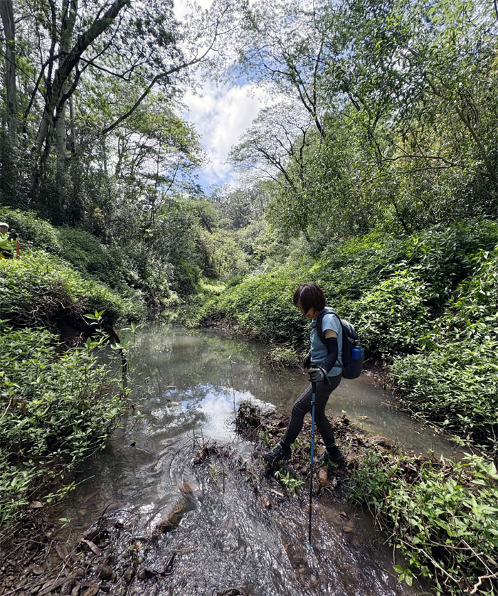
Poamoho Stream
A hop, skip, and a jump. Shouldn’t even get the soles of your shoe wet, well at least your feet.
Wahiawa Hills
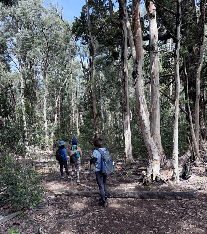
Climbing up the hill populated with paperbark trees, that were introduced to the islands in 1865 for windbreak and watershed cover.
Wahiawa Hills
Taking a load off our feet while all of us recharged in our own way. Some ate. Some drank. Some smoked.
Wahiawa Hills
Not all who wander are lost. There have been two recorded instances of hikers being lost on the trail, only one had a happy outcome. In 2000, Robert Lefevre was never seen again. In 2015, Justin Clark was rescued after four days in the jungle. Never hike alone and always tell somebody where you are going. You just never know.
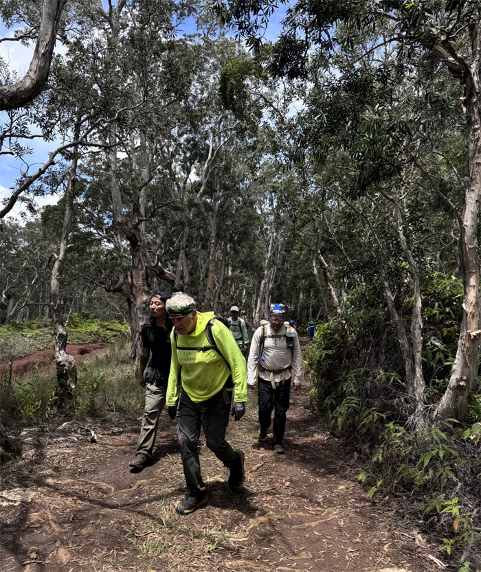
Wahiawa Hills
The group going in and out of the shallow saddle.
Wahiawa Hills
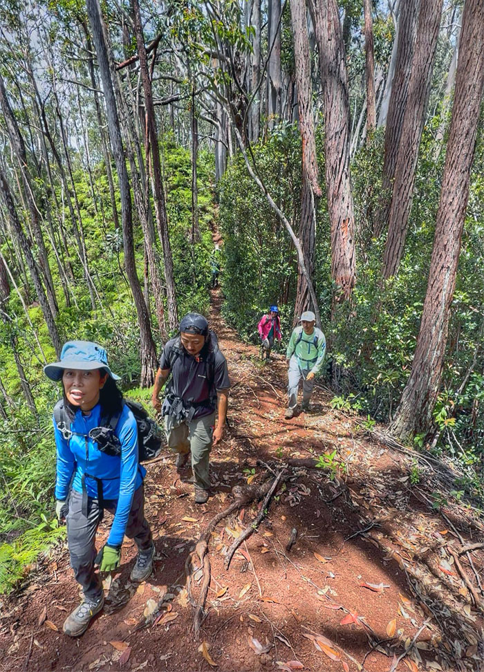
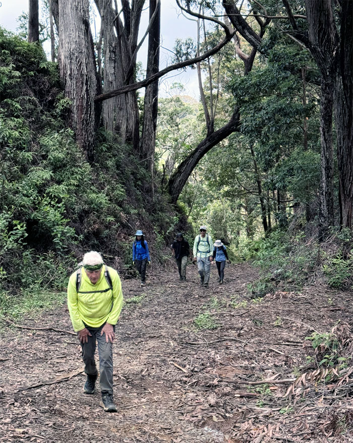
Climbing our way up the last forested hill.
Wahiawa Hills
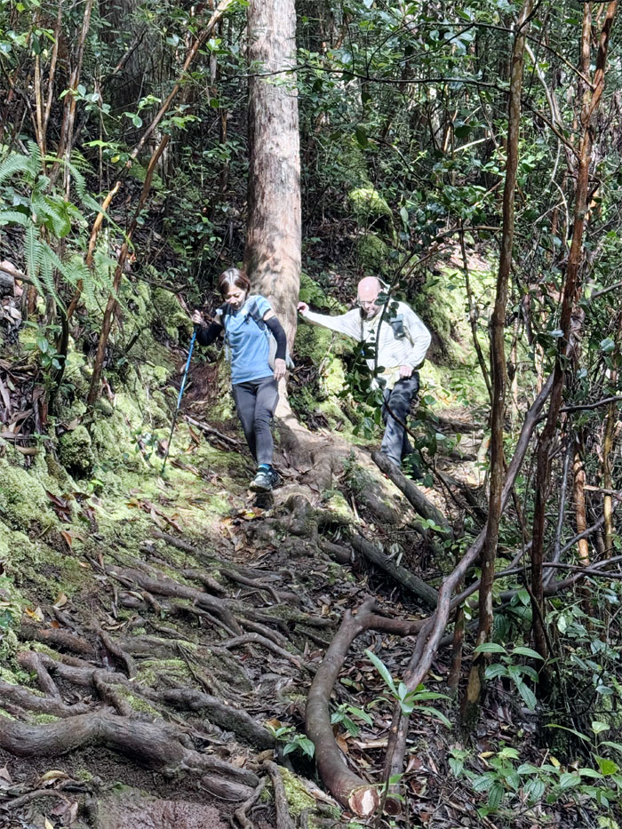
One step at a time, one foot in front of each other.
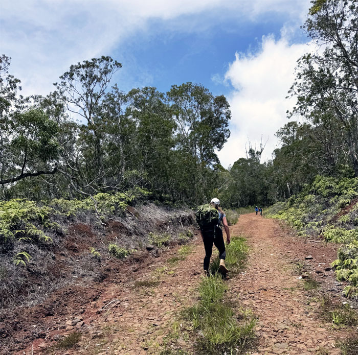
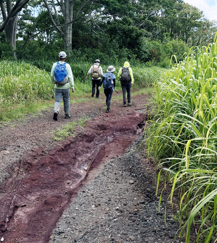
Ewa Forest Reserve
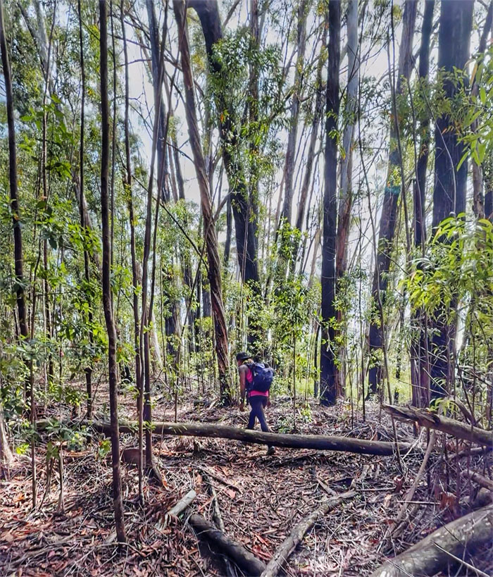
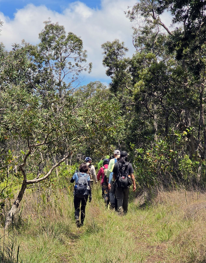
Leaving the hills behind us as we walked through the grassy fields.
Ewa Forest Reserve
Following the jeep road to its continuation.
Ewa Forest Reserve
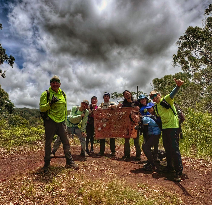
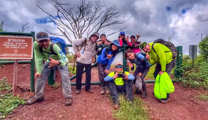
Group photo with the bullet riddled sign that has seen better days.
Ewa Forest Reserve
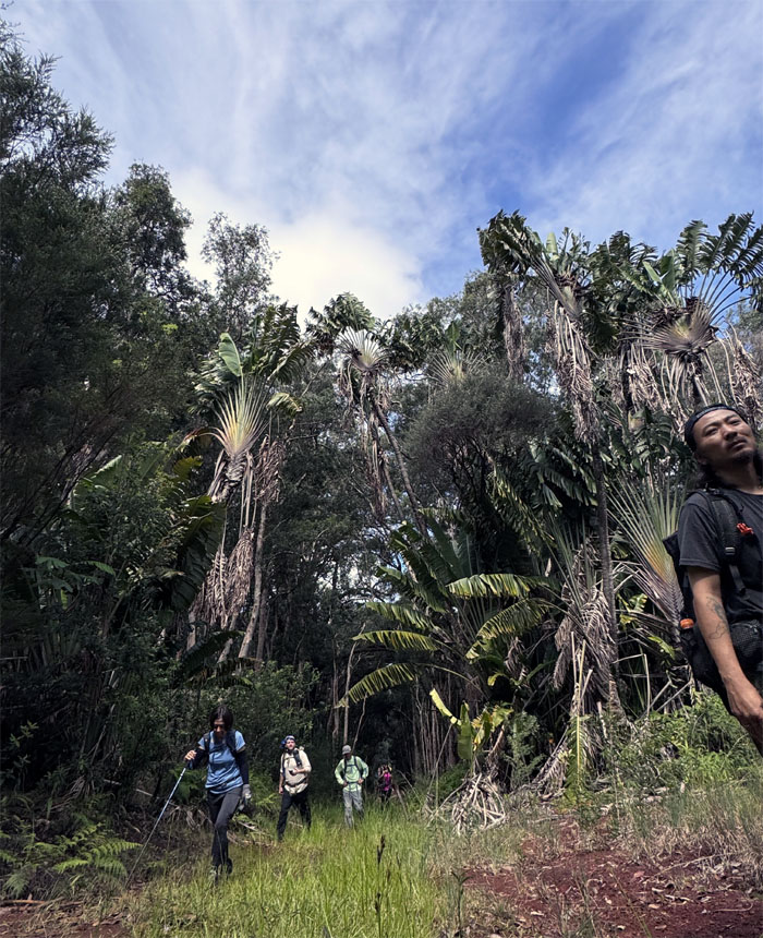
Following the uluhe clogged ridgeline to our destination.
Ewa Forest Reserve
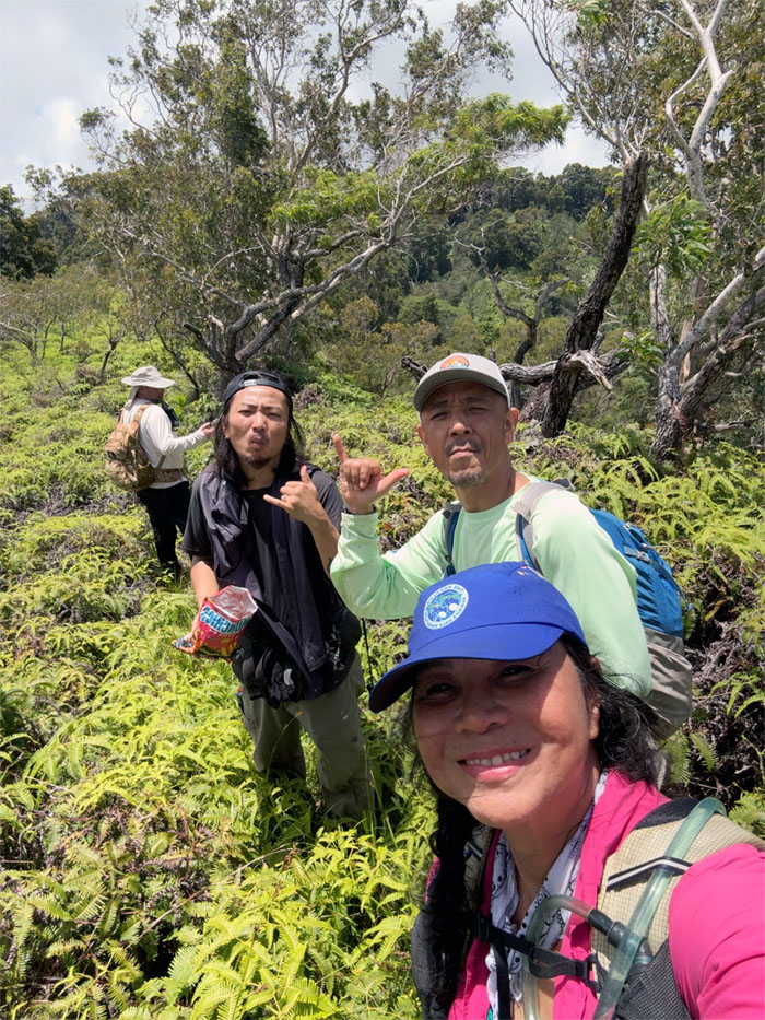
Snacking on the trail.
Ewa Forest Reserve
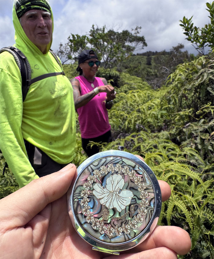
I found a shiny object on the trail. Who needs a makeup mirror?
Ewa Forest Reserve
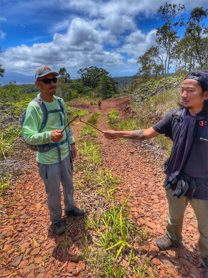
Jeremy going up the slight grade with the KST in the background. Oh wait, that’s the WST. Mountain identification at its finest.
Ewa Forest Reserve
Kenny trudging through the thin ribbon of water that passed for a trail.
Ewa Forest Reserve
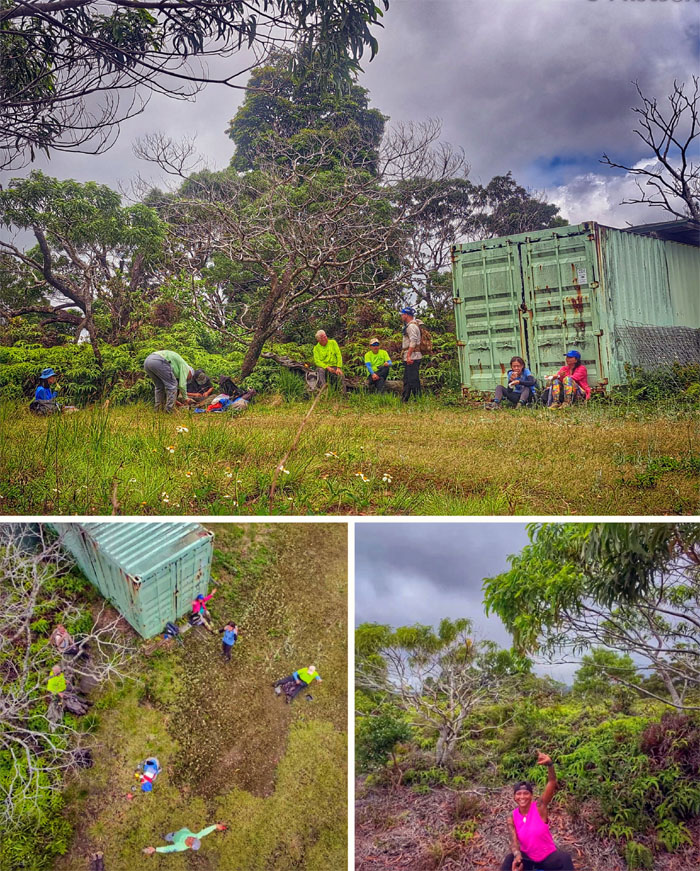
Taking our lunch break near a container and water catchment.
Poamoho Road
Failed synchronized crossing.
Poamoho Road
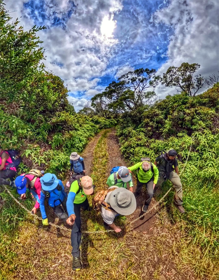
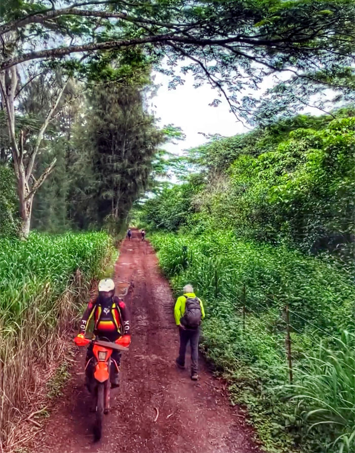
Now the fun part. Going down the five mile jeep road.
Poamoho Road
The group walking up the slight incline.
Poamoho Road
Crossing paths with the only other hiker we saw all day on the trails. She was training for a hike in Canada.
Poamoho Road
The boys making a wish. It was already granted.
Poamoho Road
An excruciatingly slow drone flyby of the group.
Poamoho Road
Walking on sections of the road that saw the erosional effects of the recent Kona lows that carved huge ruts in the road.
Poamoho Road
Dirt bikers were having a field day as the road is now closed to vehicular traffic.
Poamoho Road
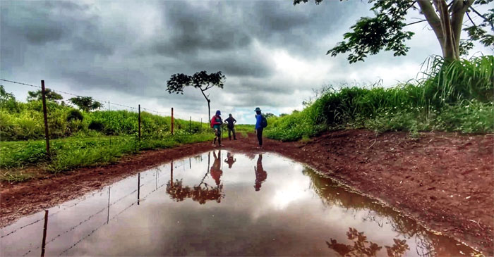
Skimming the mud puddle.
All pau
We made it to the gate and our cars!
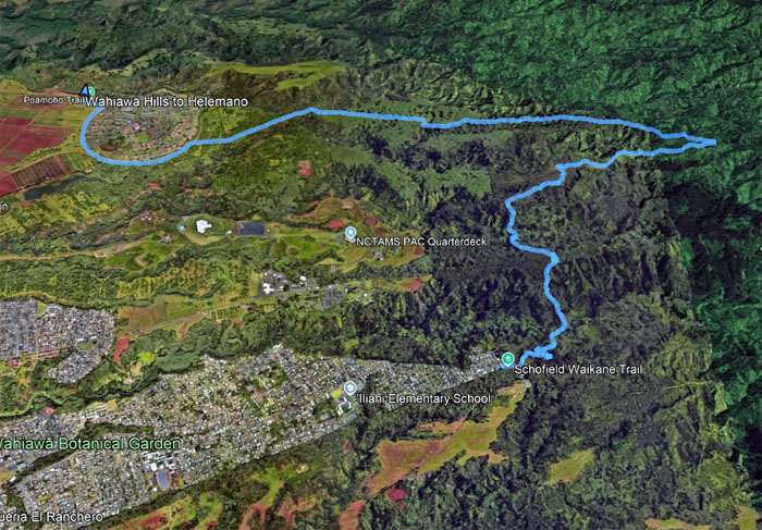
GPS Tracks
Our Mother’s Day hike covered 8.65 miles through rolling hills, forest and stream crossings and a jeep road. Fun times with good friends. Post hike meal at Chicken in a Barrel, where I should’ve ordered the pizza instead and got to see Bill Gates. Sorta and 30 years ago.
Photos/Crew taken by Aida Gordon, Akira Suzuki, Alexis Catarina, Chico Cantu, Cristy CM, Jeremy Cannone, Kenny Lui, Mari Saito, and yours truly. Not necessarily in order.
Note: I have been made aware that some hikers have been using my blog as a hiking guide and getting lost on the trails. Please note that this blog was made to document the hike for the crew(s) that did it. That is why some of my comments will seem to have no relevance or meaning to anybody outside of the crew(s) that hiked that trail. My blog was never meant as a hiking guide, so please do not treat it as such. If you find inspiration and entertainment from these hikes, that is more than enough. If you plan on replicating these hikes, do so in the knowledge that you should do your own research accordingly as trail conditions, access, legalities and so forth are constantly in flux. What was current today is most likely yesterdays news. Please be prepared to accept any risks and responsibilities on your own as you should know your own limitations, experience and abilities before you even set foot on a trail, as even the “simplest” or “easiest” of trails can present potential pitfalls for even the most “experienced” hikers. One should also always let somebody know of your hiking plans in case something doesn’t go as planned, better safe than sorry.
{ 2 comments… read them below or add one }
Informative write-up as always. Fun hike and we fot our exercise in. Someone kept saying it was the last steep climb…LOL. and what was the hurry to walk at 15 minute mile pace down Paomoho Road? SMH. Thanks for organizing everything!
Aloha Aida,
Thanks. Everybody was hungry and wanted to get down the road.
Mahalo