In my ongoing goal to segment finish the KST; Donald, Jasmin, Jose, Marvin, Ryan and Thessa joined me on this sunny day or was that on a Sunday? As we gathered outside the Keaiwa Heiau State Park, Donald showed a big mass of clouds sitting over the Koolau’s on his phone app, however, Marvin aka Guy Hagi assured us it would go away. Guy Hagi is never wrong, right?
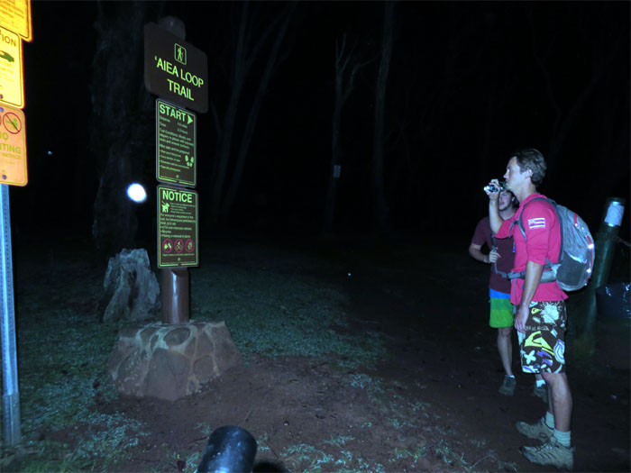
We passed the caretaker’s barking dog at the entrance and made our way up the road to the start of the Aiea Loop Trail. We totally missed the plane wreckage and waterfall in the cover of darkness. That would be for another day and under better lighting conditions.
After trudging in the dark on the loop trail, we soon turned left at the junction to start the Aiea Ridge Trail as the sun woke up the morning.
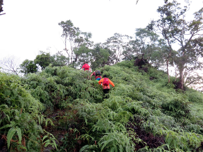
Our favorite friends on the trails – uluhe ferns. What would we do without you?
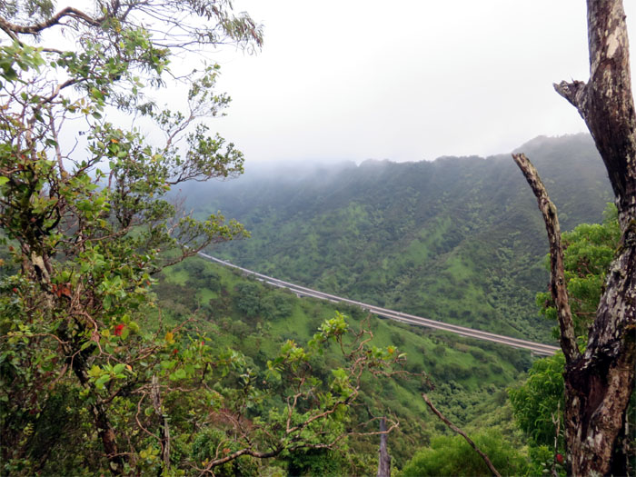
The H-2 Freeway running through Halawa Valley. The constant humming of cars followed us up the ridge.
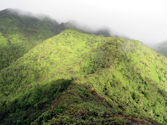
The ridge soon started to slightly undulate like a kiddie rollercoaster. It was an easy ride, for now.
Rainfall replaced the noise coming from the H-2 as our companion on the hike. We also saw several waterfalls spilling down from the mountains in the distance. No rainbows though.
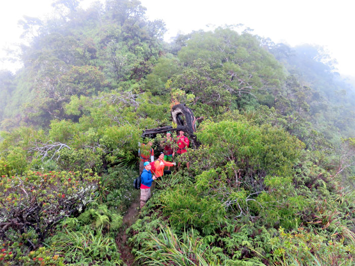
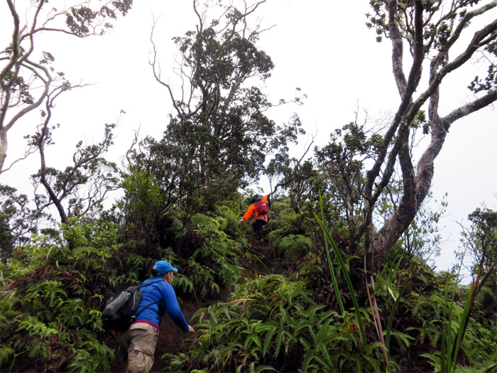
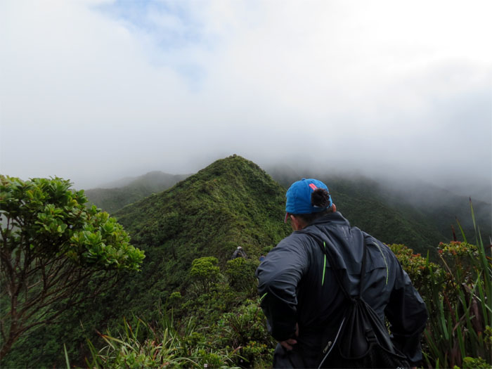
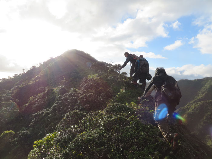
The rollercoaster ridge kicked up a notch as the up and down climbs increased in pitch and the trail bordered between grass, rocks and mud due to the rain.
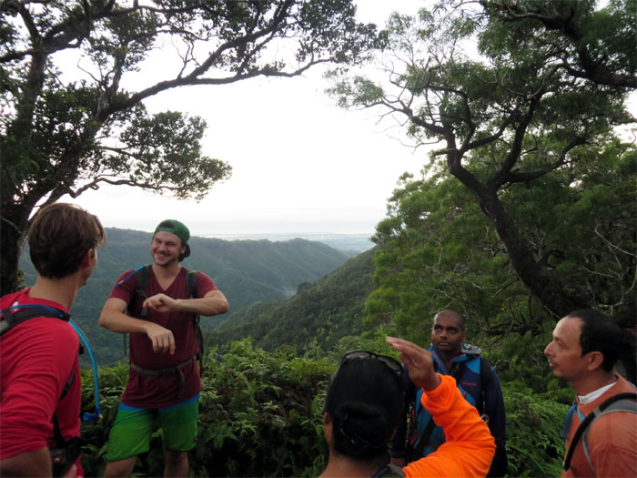
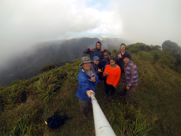
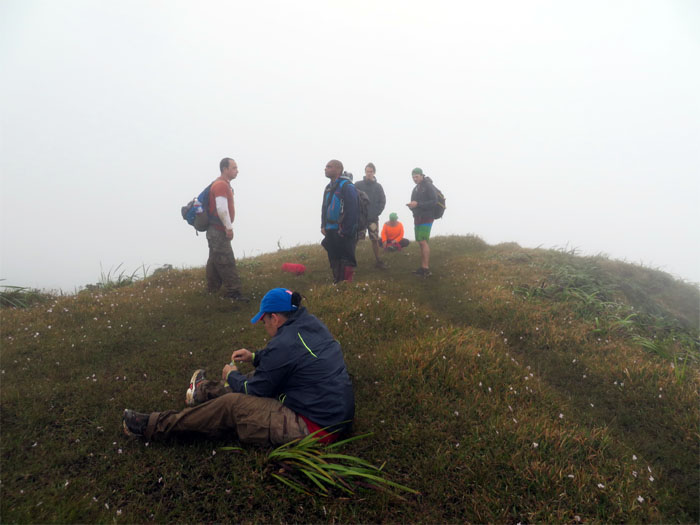
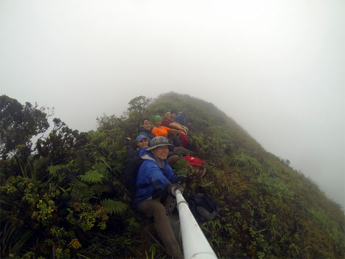
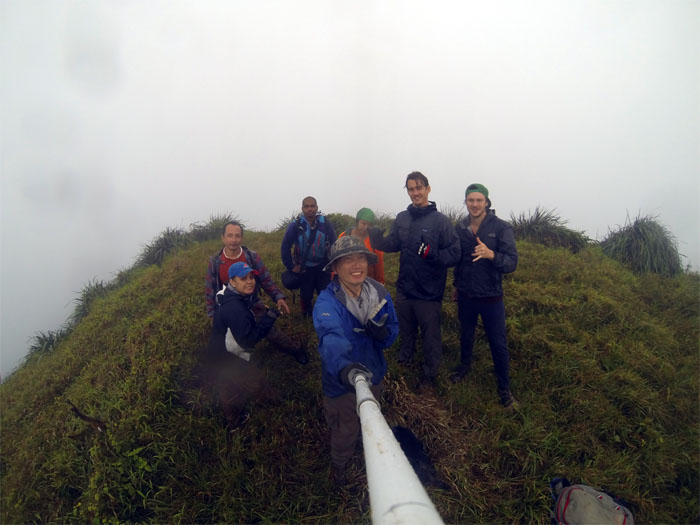
Group picture left to right: myself, Jasmin, Ryan, Marvin, Thessa, Donald and Jose. The clouds actually parted to tease us with a view and then snatched it away again.
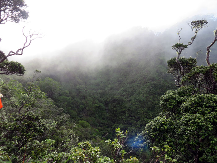
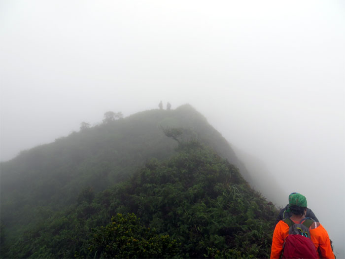
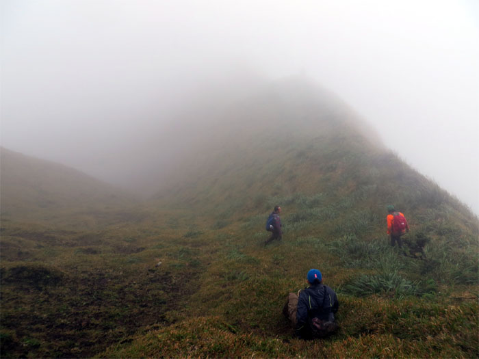
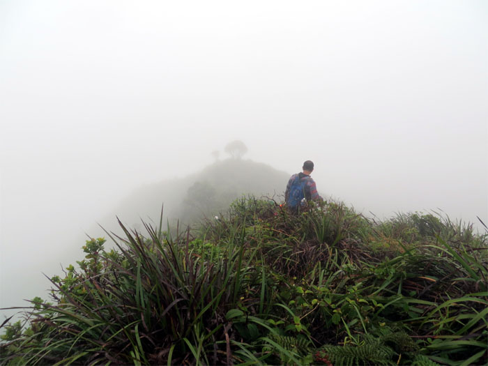
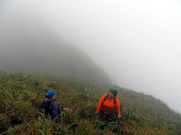
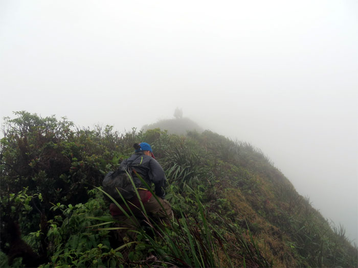
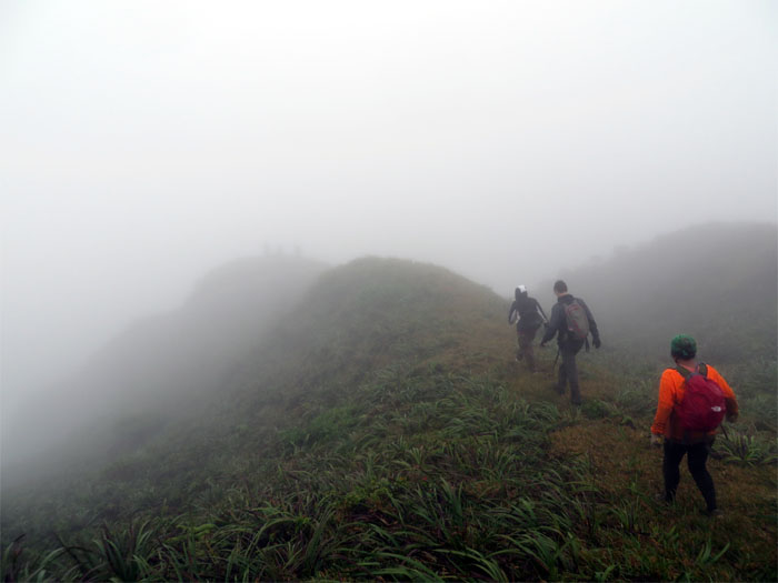
We resumed our hiking in the clouds and became resigned to the fact that we would most likely be having a zero view hike.
Yup, clouds still all around us and the intermittent pitter patter of rain. Lovely conditions!
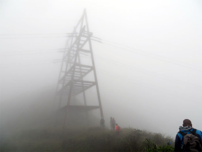
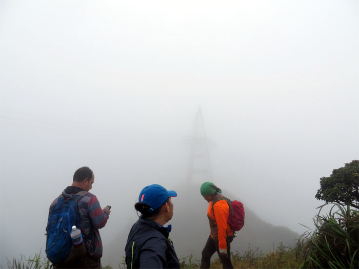
Approaching the shadowy structure of the powerlines that mark the false summit of Aiea Ridge. The trail winds to the left of the powerlines to gain the true summit. After gaining the summit, we hanged a left on the KST towards Waimalu.
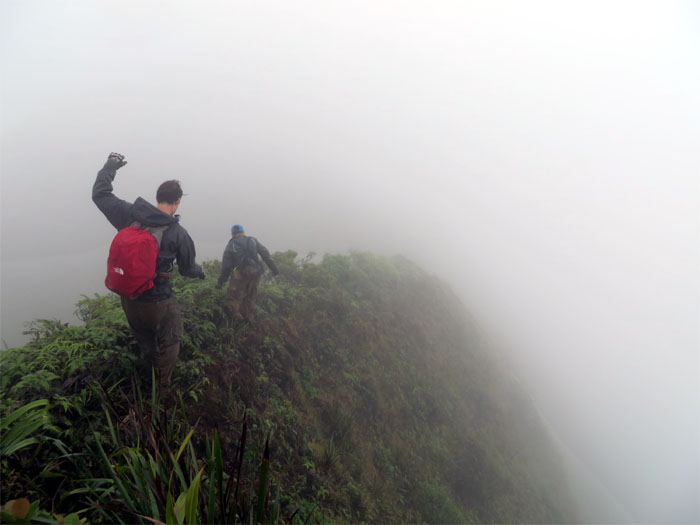
Donald and Ryan wisely decided to put on their long pants as we started our hike on the KST, which was heavily overgrown.
All that stood between us and Waimalu were eight major peaks and who knows how many small ones. It was going to be the sequel to our rollercoaster ridge coming up Aiea.
Donald checked his phone again and offered up the faint hope that the clouds were moving away.
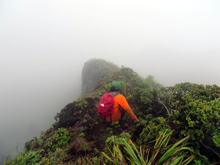
No, it seemed we were heading deeper into the clouds.
After coming up a small hill or was that one of the major peaks? We decided to have lunch and soak in the wet vegetation and enjoy the cloudy ambience.
Making our way down on the Leeward side of the KST which gave us a brief respite from the narrow and overgrown Windward side.
There was a slight disagreement around this point as to whether we were on the right track. We eventually backtracked a little to regain the KST. Being socked in and having no visible landmarks probably didn’t help as well. Always pays to have experienced hikers and GPS in your crew. Or a lot of time on your hands as you wander around the mountains trying to find your way.
Sliding down the mountain to regain the KST trail. All we needed now was cardboard boxes!
Making the final push to the summit of Waimalu Ridge.
The original hike was supposed to end at Manana and pass by those meadows I heard so much about. But since we were running out of time, we decided to go down the Waimalu trail.
The initial trail going down was a wide open freeway.
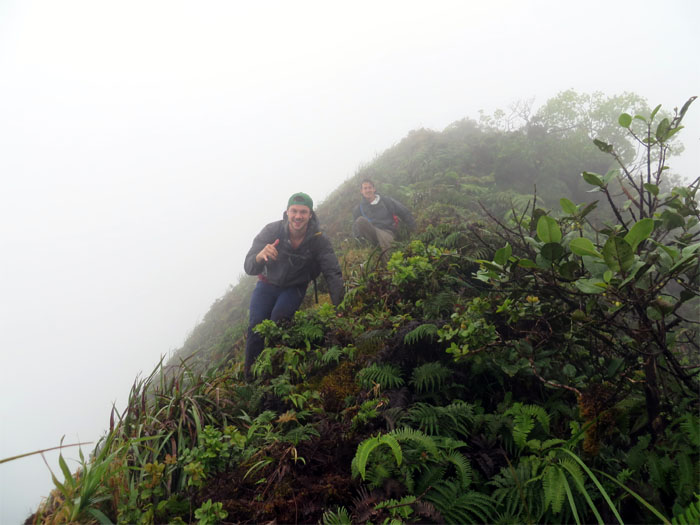
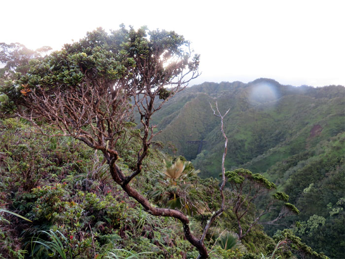
That would soon change as the ridge became overgrown and narrow. Typical KST ridge.
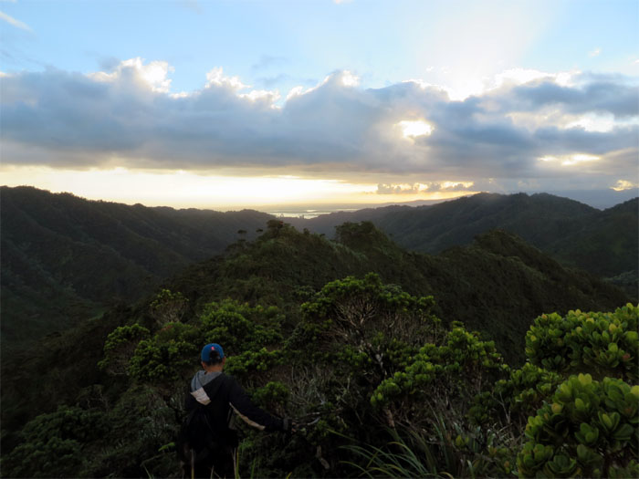
As we lost elevation and dropped below the cloud deck, sunshine and views of Pearl Harbor and surrounding areas greeted us. Better late than never.
Looking back at the cloud capped Koolau mountains.
We left behind the rain but not the waterfalls. That was a good thing.
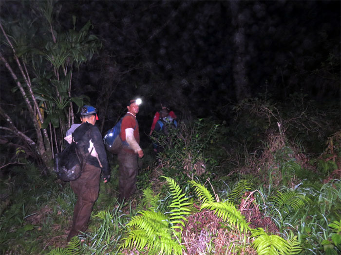
We almost made it to the bottom of the valley before the sun set. Time to break out the headlamps.
Crossing the Waimalu Ditch Trail at night was definitely an experience. Something I would like to repeat in daylight one day. We must have crossed the good flowing stream at least 8-9 times, I heard a couple hikers got lost and died on this trail, which can get confusing, especially if you do it at night! Travis was nice enough to pick us up at the trailhead on Onikiniki Place and provide us with ice cold Clementines!
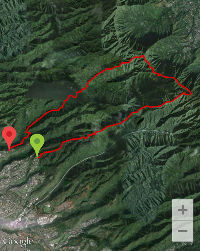
The hike was a grinding 12.8 miles in cloudy and rainy weather. Wished we could have continued onto Manana, but time and weather was not on our side. It was still a great hike with a great crew.

{ 0 comments… add one now }