
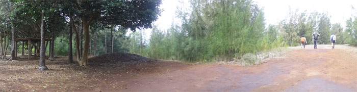
Met up with Ben, Mitsy and Stuart at the end of Dillingham Airfield.
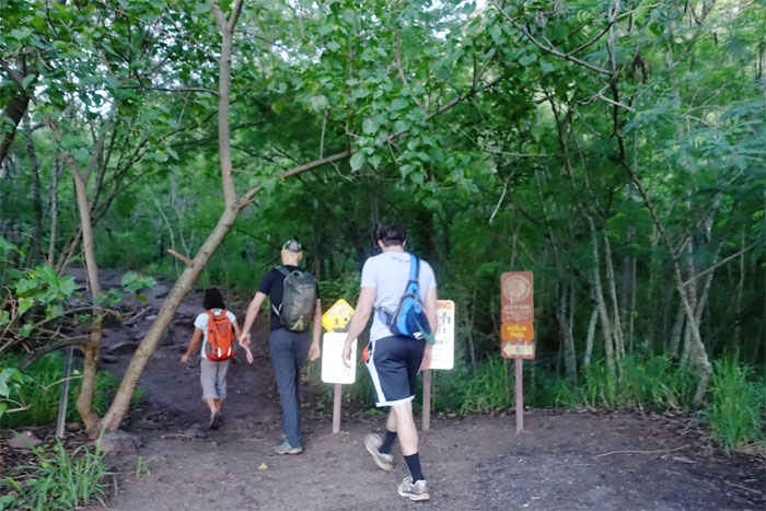
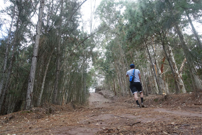
Trailhead
Time to start counting the 19 switchbacks to the top.
Kealia Trail
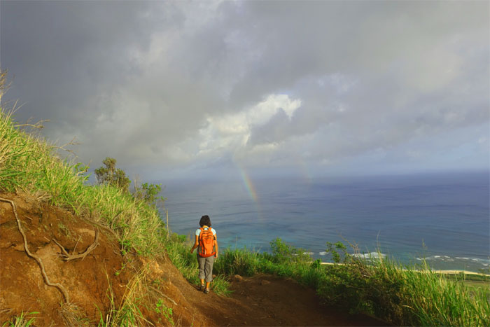
Chasing the rainbow. Hope you can swim.
Kealia Trail
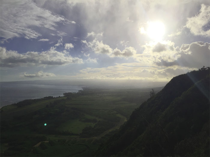
Looking out towards the country towns of Waialua and Haleiwa. Photo by Ben Hinders.
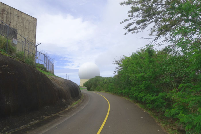
Kuaokala Trail
We soon crested the top of the cliff, passed the picnic bench and picked up the uphill trail.
Kuaokala Trail
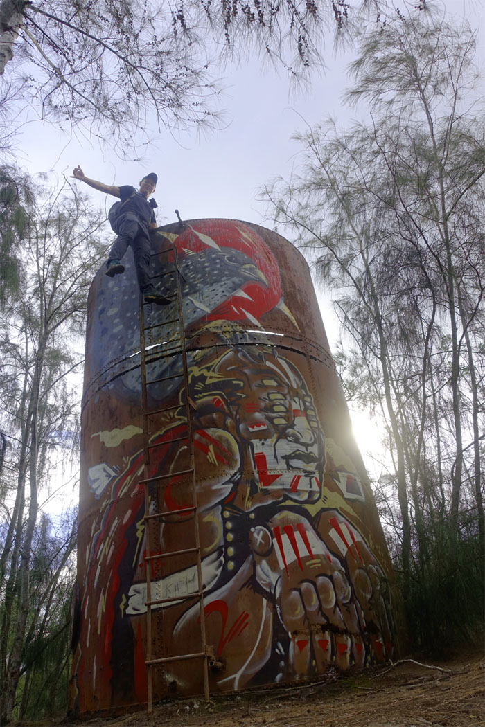
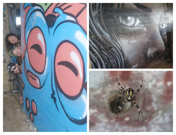
Stuart checking out the artwork from topside.
Kuaokala Trail
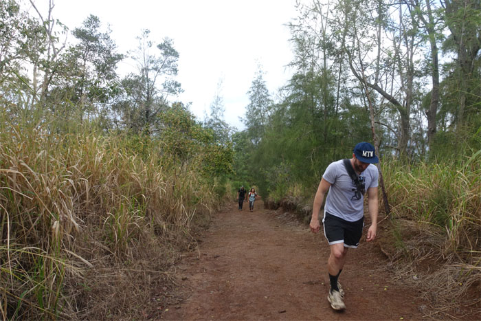
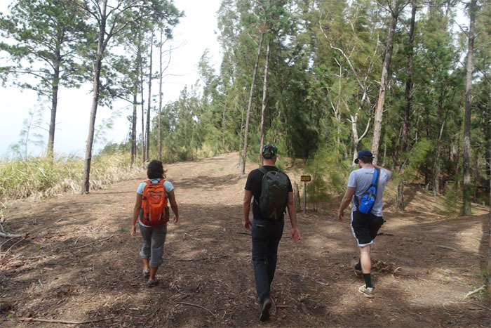
Ben charging the tree lined trail.
Kuaokala Trail
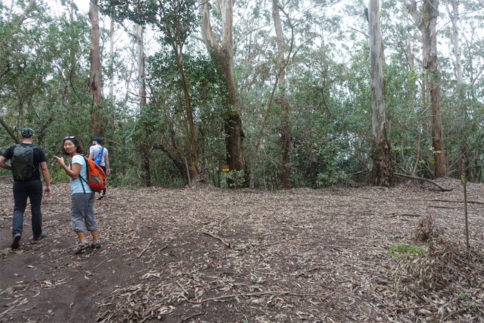
We go this way? Follow the signs.
Kuaokala Trail
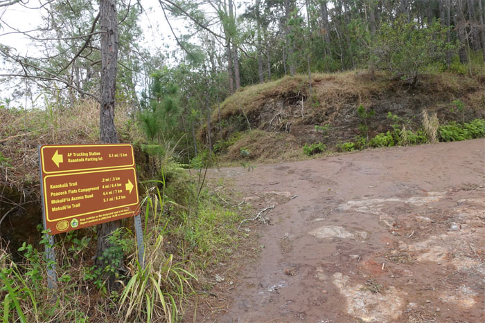
Which sign do we follow?
Kuaokala Trail
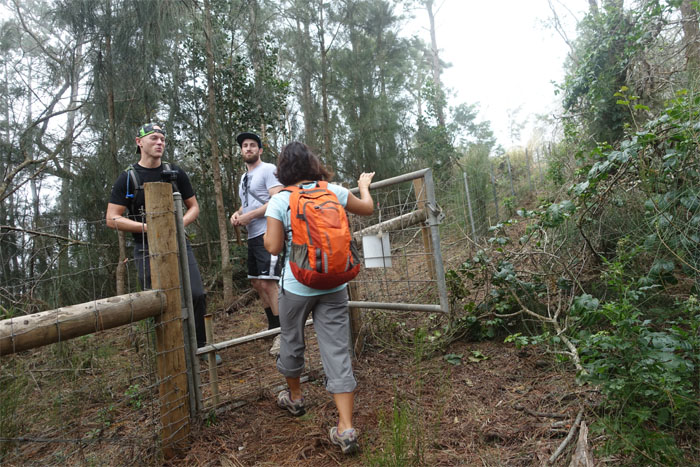
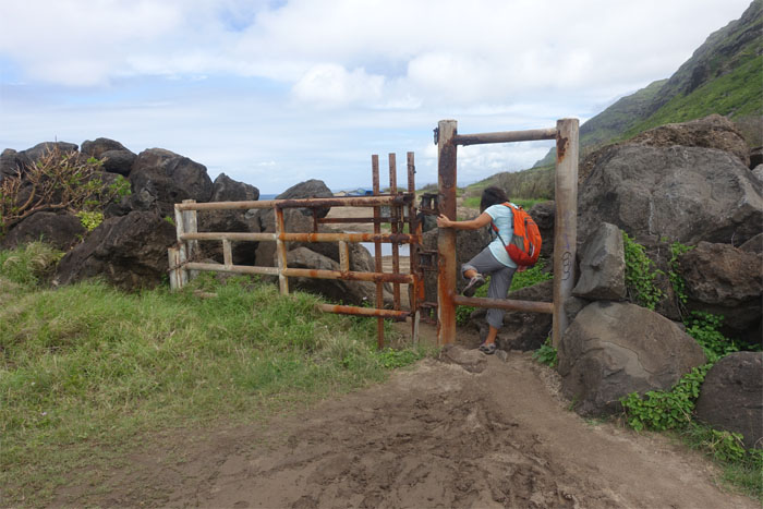
Who’s holding the gate open for me? Ding dong, chivalry is dead.
Kuaokala Trail
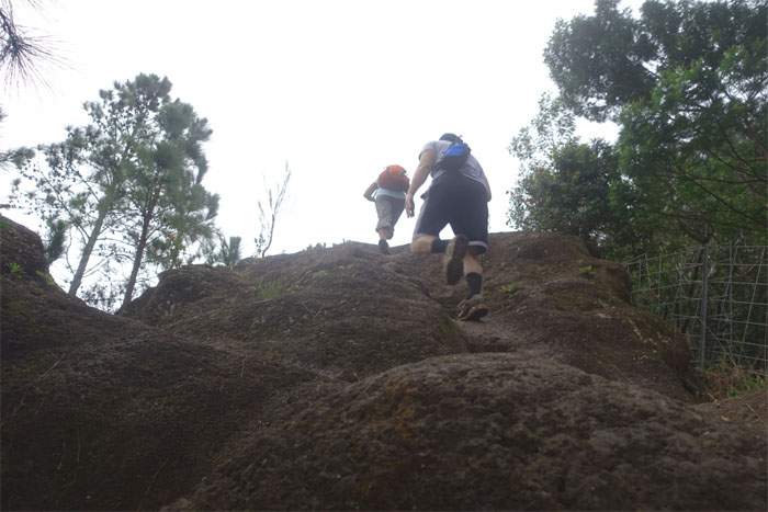
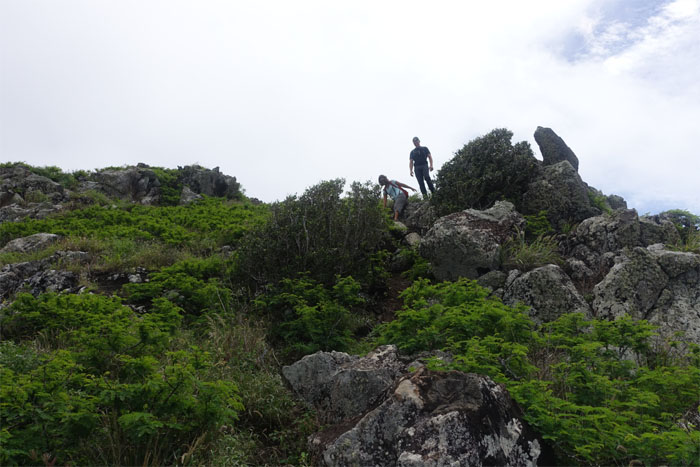
Climbing up and over a rocky section of the trail.
Kuaokala Trail
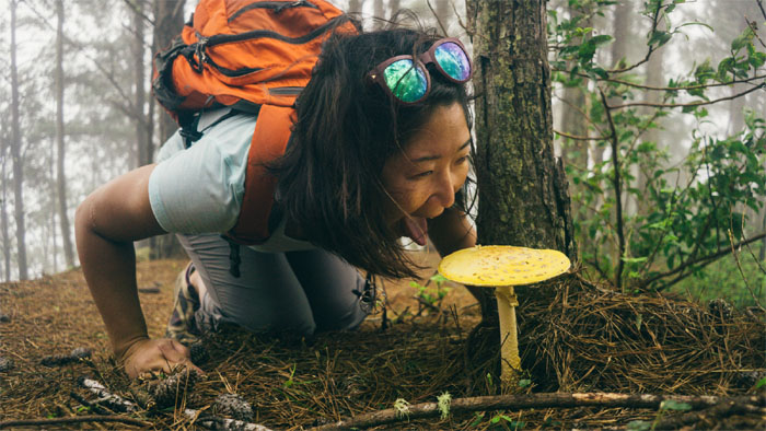
Mitsy about to sample the colorful forest fungi. Registered nurse standing by. Photo by Stuart Krempin.
Kuaokala Trail
Taking the easy way down. Photo by Stuart Krempin.
Kuaokala Trail
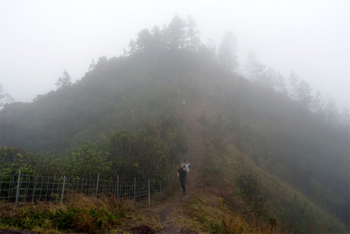
The group coming down the cloud wrapped trail.
Kuaokala Trail
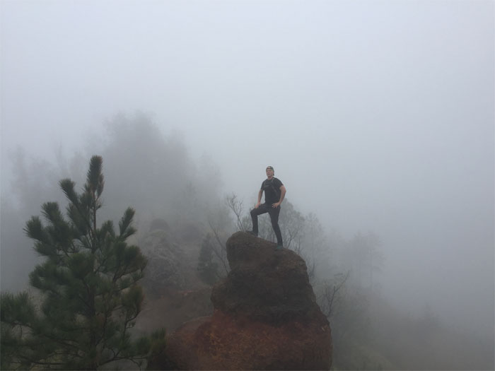
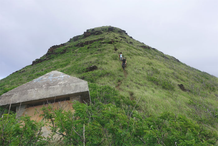
King of the Hill. Photo by Ben Hinders.
Kuaokala Trail
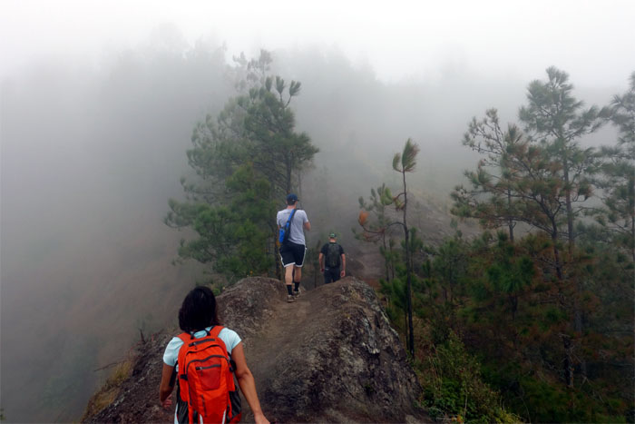
The clouds blurred the scenery, while the whipping wind rustled through the trees on our trail hike. Atmosphere.
Kuaokala Trail
We chose to not take the higher road.
Kuaokala Trail
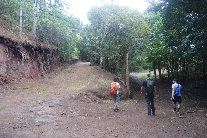
Leaving the picnic shelter behind us.
Junction
Another trail for another day.
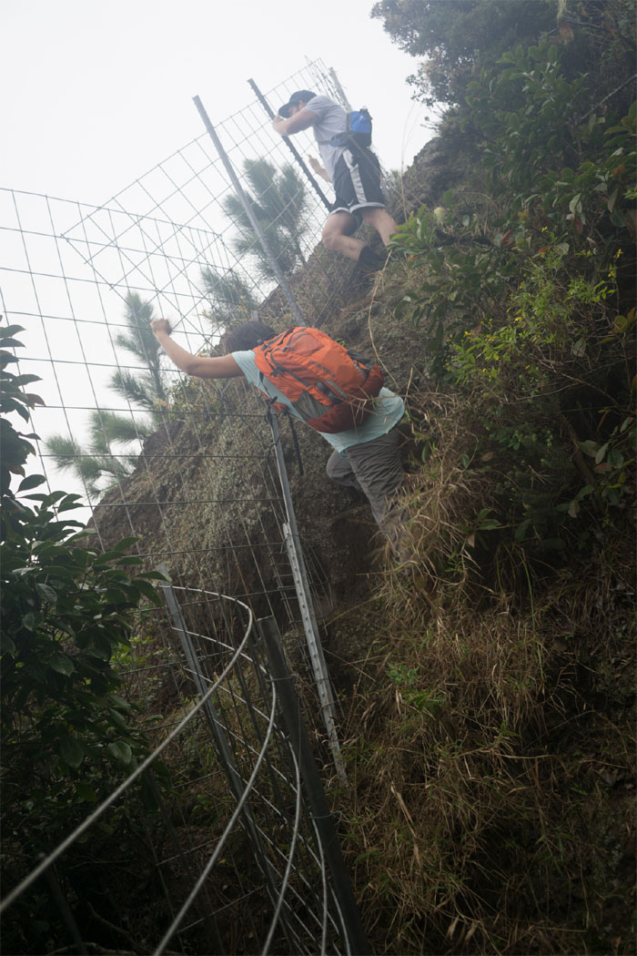
Kuaokala Trail
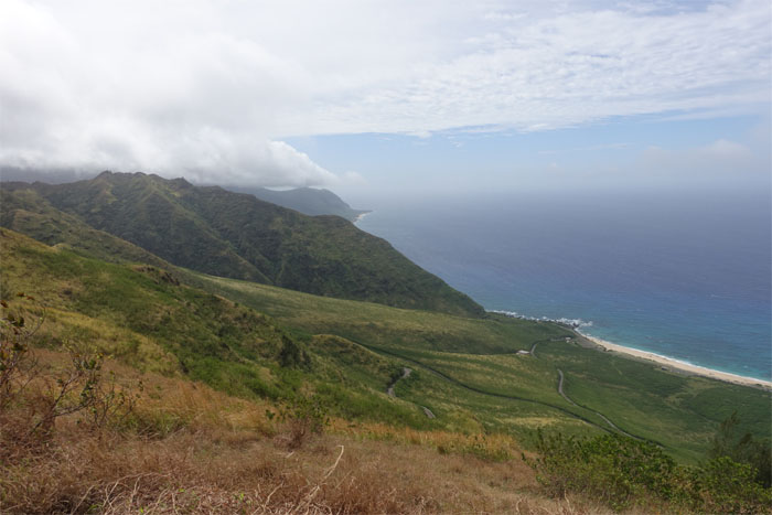
Looking down into Keawaula Beach, as the earlier views of Makua Valley were blotted out by the rolling clouds.
Kuaokala Trail
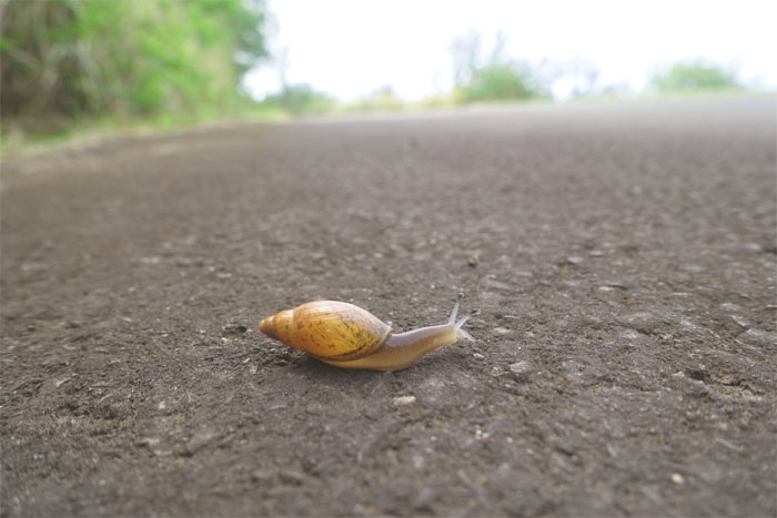
Why did the snail cross the road? To join the chicken on the other side of the road.
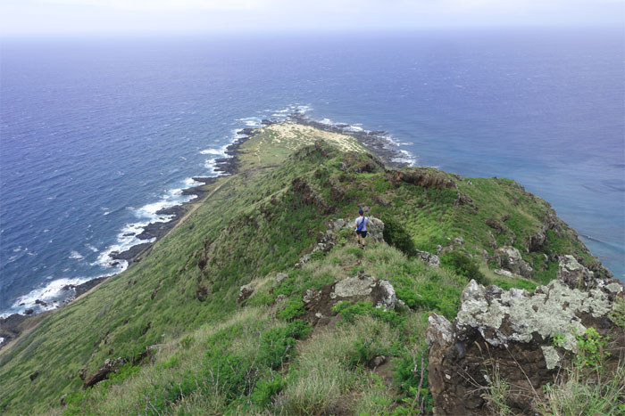
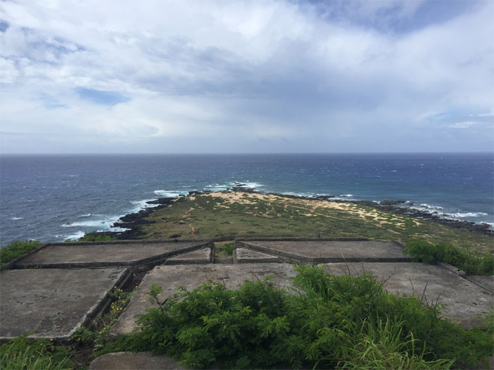
Kaena Point
Hiking on the less traveled road.
Kaena Point
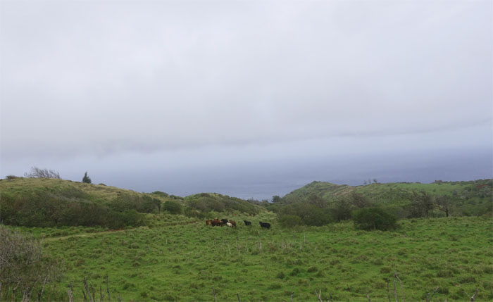
Nothing to see here. Mooove along.
Kaena Point
Where the trail meets the road.
Kaena Point
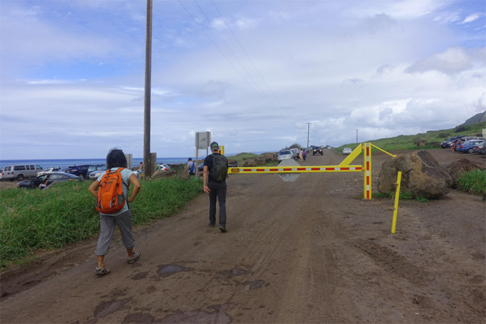
End of the road.
Kaena Point
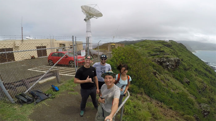
Group photo left to right: Stuart, Ben, myself and Mitsy.
Kaena Point
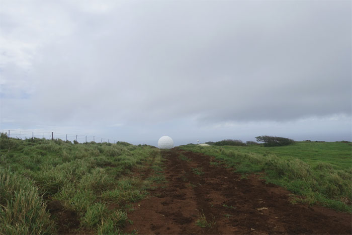
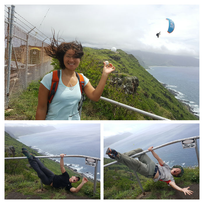
Life imitating art. Which one is the real golf ball? Which one is the real goofball?
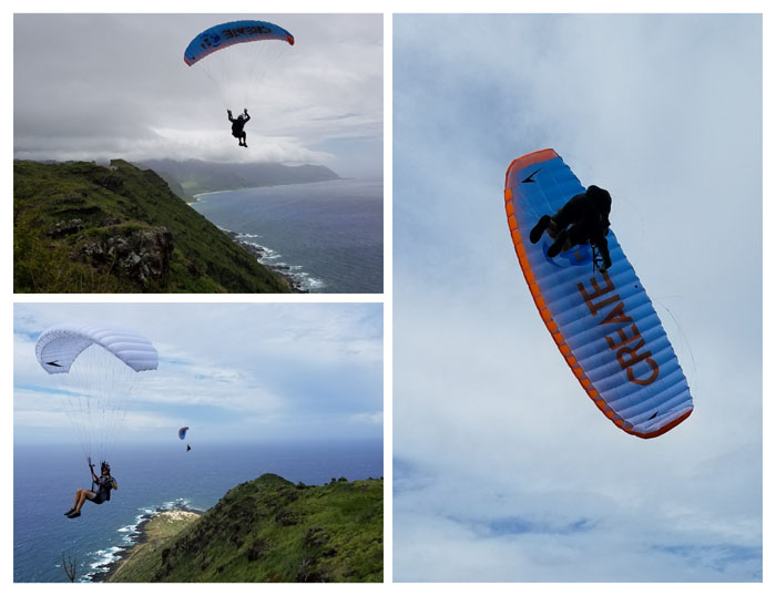
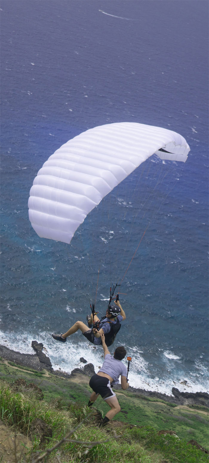
Paragliders
These two pilots were getting some serious air thanks to the blustery winds spilling off the ridge.
High Five
Hang time and time to press the flesh. Just don’t kick me. Photo by Stuart Krempin.
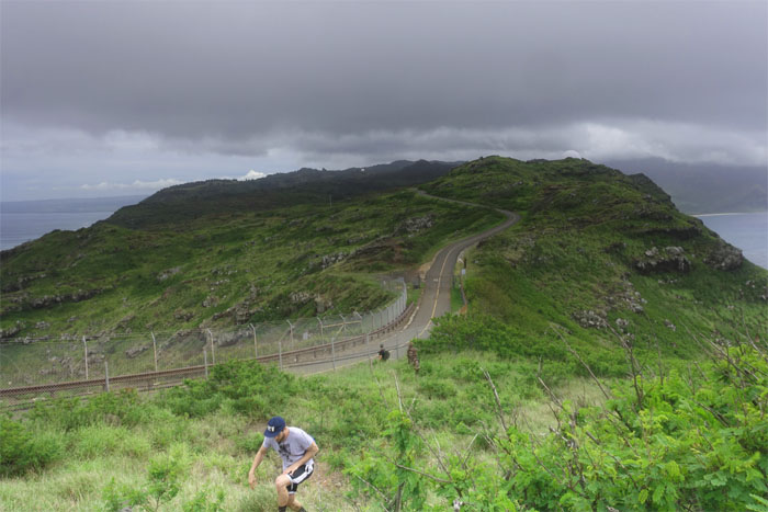
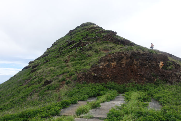
Kaena Point
We took our leave of the summit as we passed numerous remnants of manmade structures dating back decades.
Kaena Point
Ben making his way down the ridge.
Kaena Point
Mitsy and Stuart picking their way amongst the assorted boulders that decorated the trail.
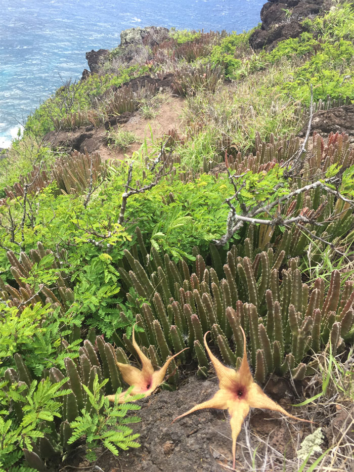
Carrion Flowers
Nothing like the smell of rotting flesh to perfume the air. Photo by Ben Hinders.
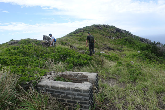
Kaena Point
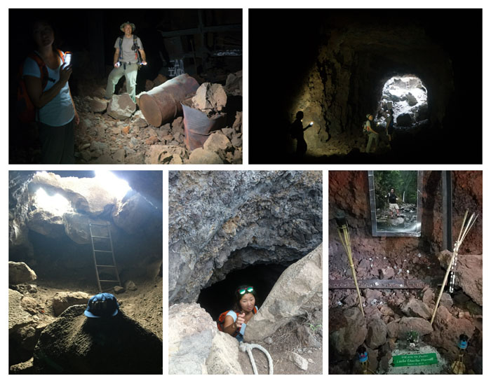
Making our way down to the first bunker. Photo by Ben Hinders.
Kaena Point
Bunker life.
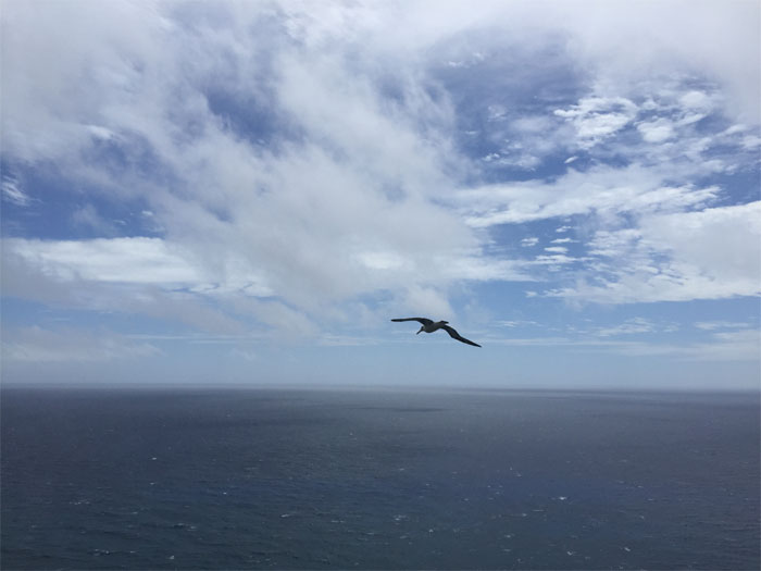
Laysan Albatross
The original paraglider. Photo by Ben Hinders.
Kaena Point
Stuart and Mitsy approaching the vent for the second bunker.
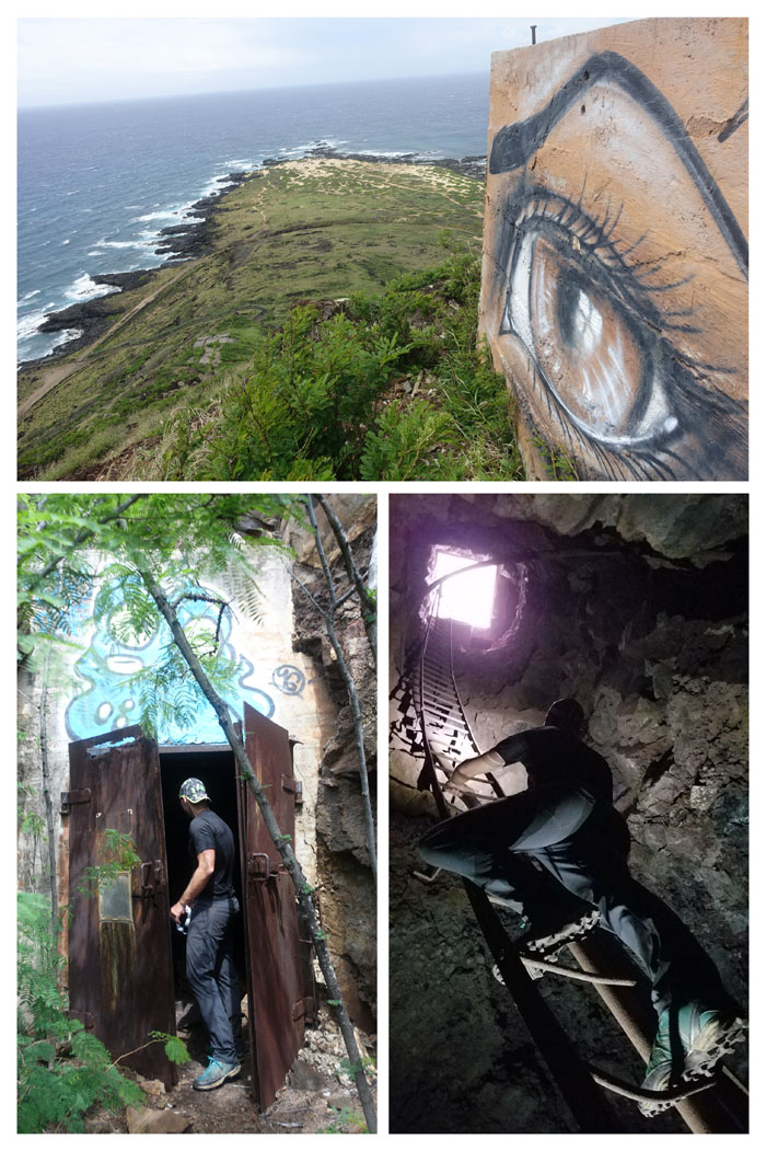
Kaena Point
More bunker life. Hot as heck.
Kaena Point
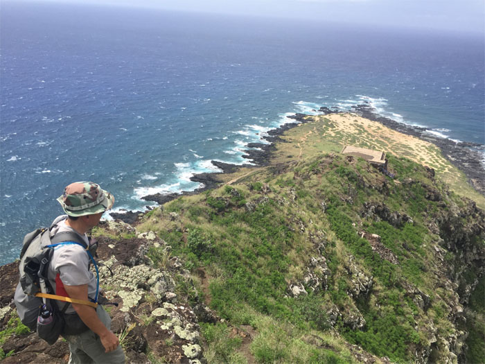
Standing on the last bunker. No whales sighted. Photo by Ben Hinders.
Kaena Point
Dropping off the ridge as we ran across other hikers near the base. Photo by Ben Hinders.
Kaena Point
Cave life. Steaming sauna.
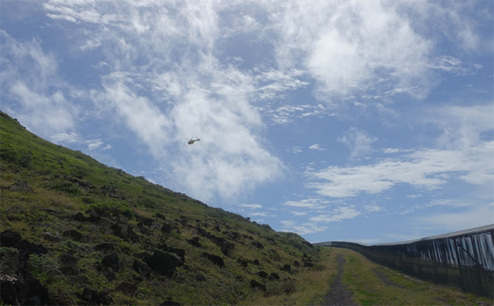
HFD
Walking the fenced trail out, we saw the yellow fire department helicopter landing on the ridge. We found out later that one of the paragliders crashed into the cliff. Wishes for a speedy recovery to the pilot.
Kaena Point
Mitsy leaving behind the Kaena Point Natural Area Reserve.
All pau
Thanks to James for picking us up and shuttling us back to our cars. The 9.43 miles of trail melted away due to the mostly flat terrain and fun company. No post hike meal as everybody had places to go.
Note: I have been made aware the some hikers have been using my blog as a hiking guide and getting lost on the trails. Please note that this blog was made to document the hike for the crew(s) that did it. That is why some of my comments will seem to have no relevance or meaning to anybody outside of the crew(s) that hiked that trail. My blog was never meant as a hiking guide, so please do not treat it as such. If you find inspiration and entertainment from these hikes, that is more than enough. If you plan on replicating these hikes, do so in the knowledge that you should do your own research accordingly as trail conditions, access, legalities and so forth are constantly in flux. What was current today is most likely yesterdays news. Please be prepared to accept any risks and responsibilities on your own as you should know your own limitations, experience and abilities before you even set foot on a trail, as even the “simplest” or “easiest” of trails can present potential pitfalls for even the most “experienced” hikers.
{ 0 comments… add one now }