

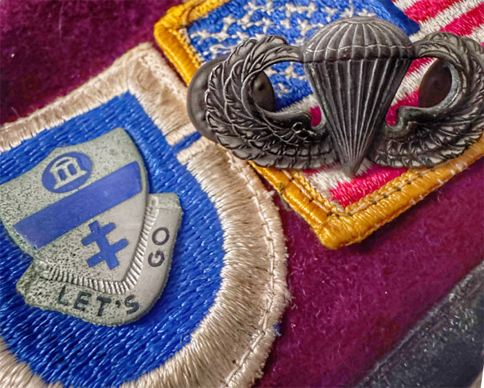
Our crew of four shrank to two due to joint problems. The show must go on.
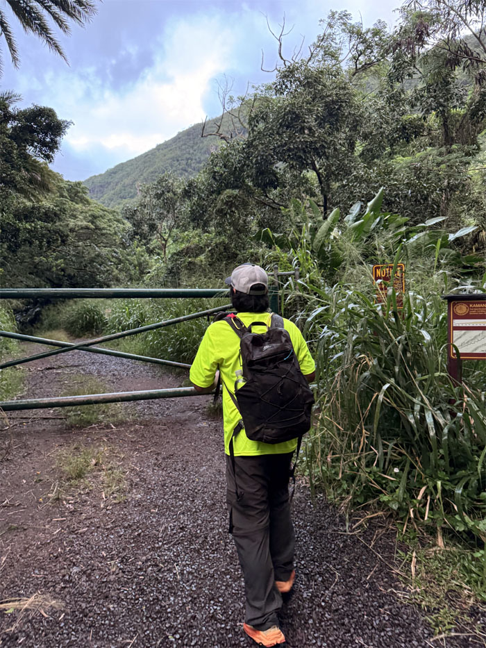
Moanalua Valley
Stepping foot on the trail that originally served as a carriage road for the Damon family that used to own this land.
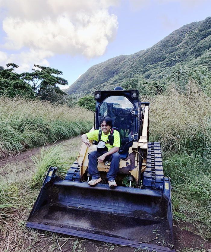
Kamananui Valley Trail
Less excavating, more hiking!
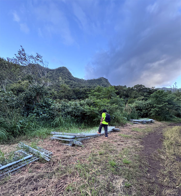
Kamananui Valley Trail
Stacks of fence were lined up on the side of the road for future fence building. Keeping feral ungulates out or hikers in?
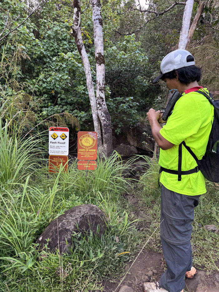
Kulana’ahane Trail
We melted 2.75 miles in less than an hour as we reached the junction.
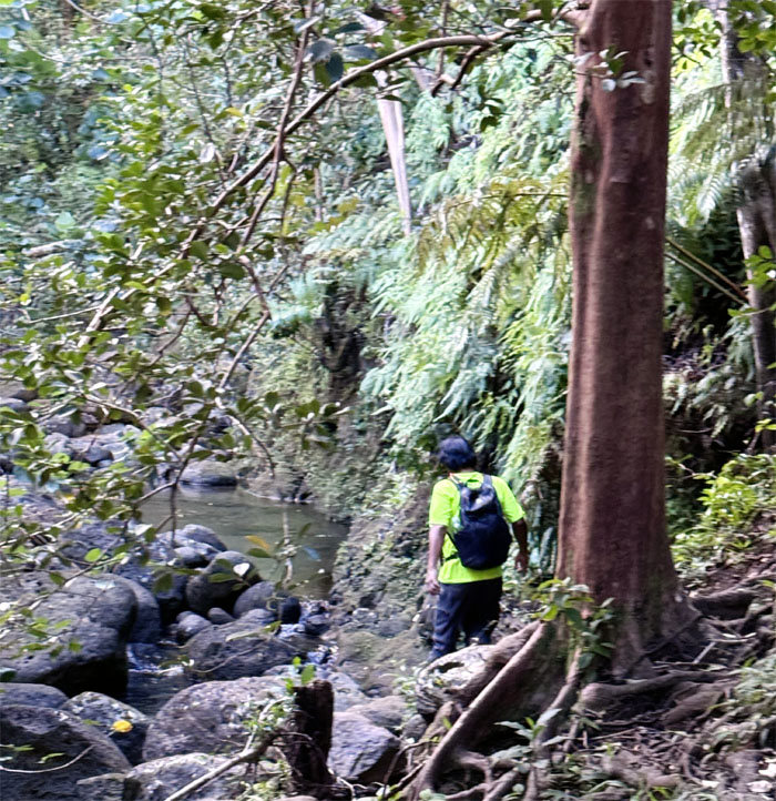
Kulana’ahane Trail
One of 28 stream crossings.
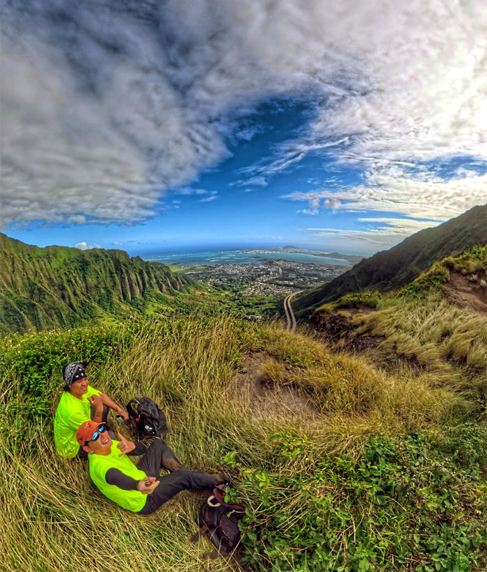
Kulana’ahane Summit
We reached the 1,740′ summit in a little over an hour from the valley floor.
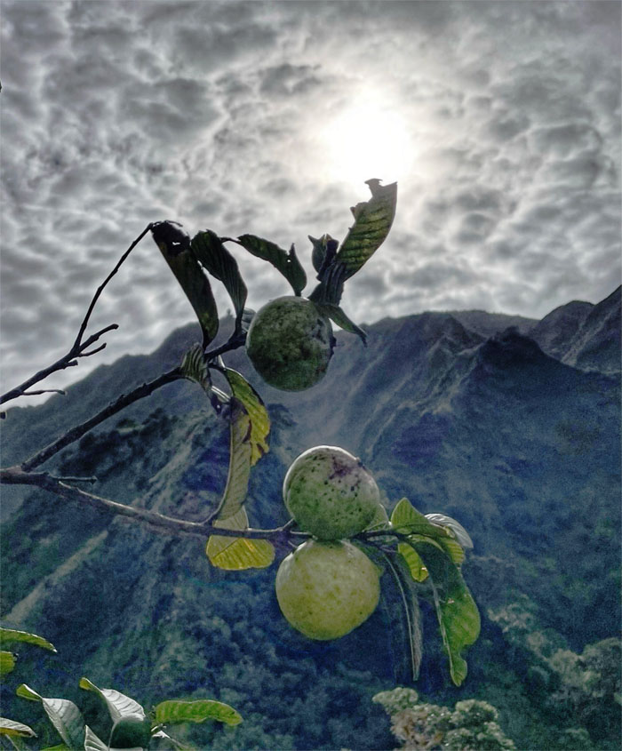
Moanalua Saddle
Can you see the CCL building for the fruiting guava?
Moanalua Saddle
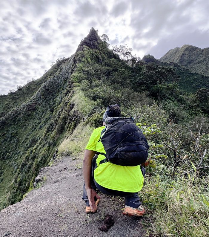
Can you see the guava seeds for the pig poop?
Moanalua Saddle
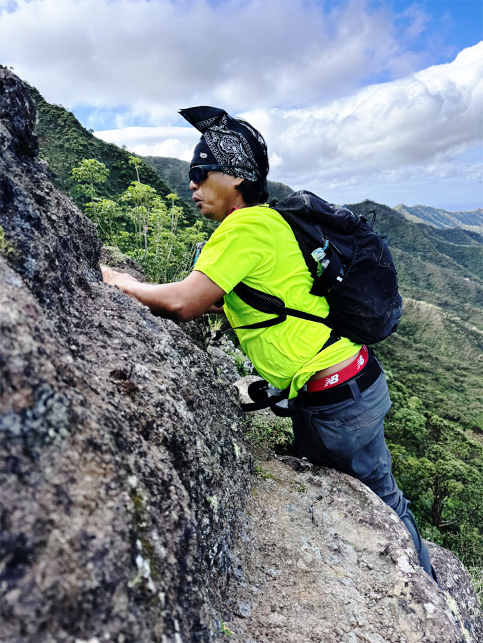
I climbed up the Windward side, CB chose the Leeward side. Choose wisely.
Moanalua Saddle
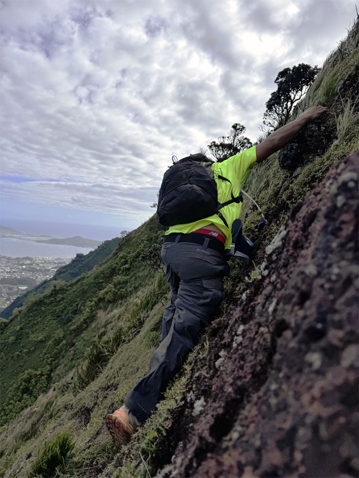
You sure this is the way? This is the way.
Moanalua Saddle
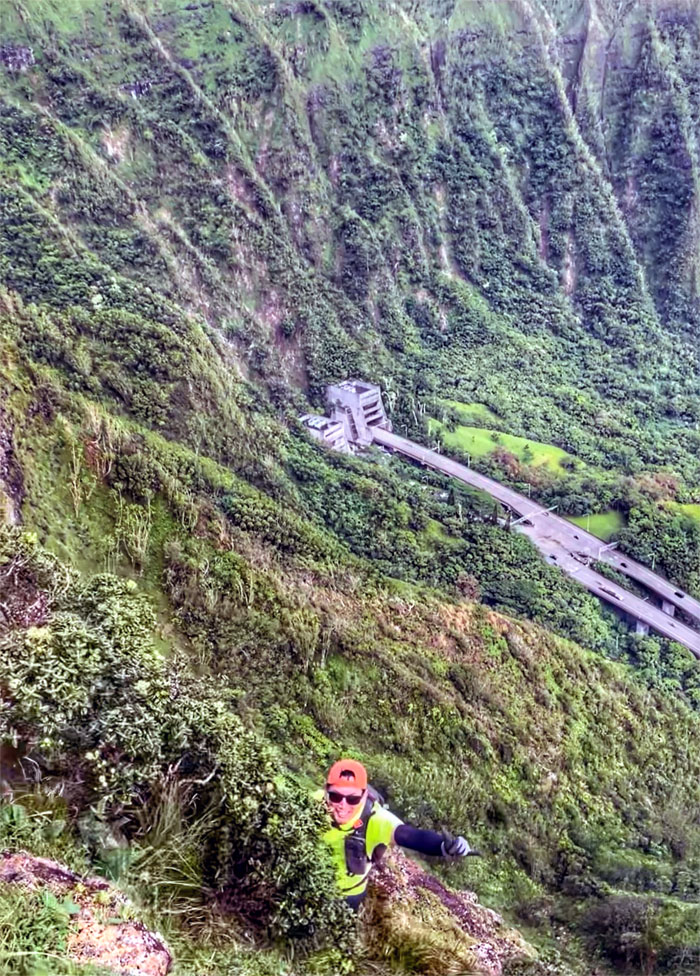
Climbing up the Windward side with the Omega Station in the background.
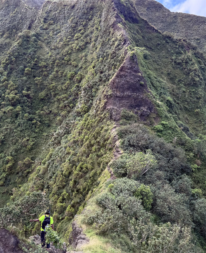
Moanalua Saddle
Making our way to the most well known obstacle on this ridge line as the wind howled around us. I thought the winds this past weekend was strong, these were even stronger. I estimate the winds were cranking in the high 40-50s. And here I am, without my wind meter today.
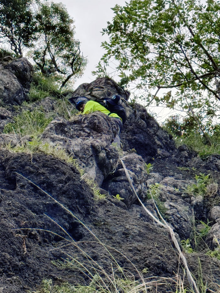
Dirt Triangle
CB climbing up the Leeward side of the rock obstacle.
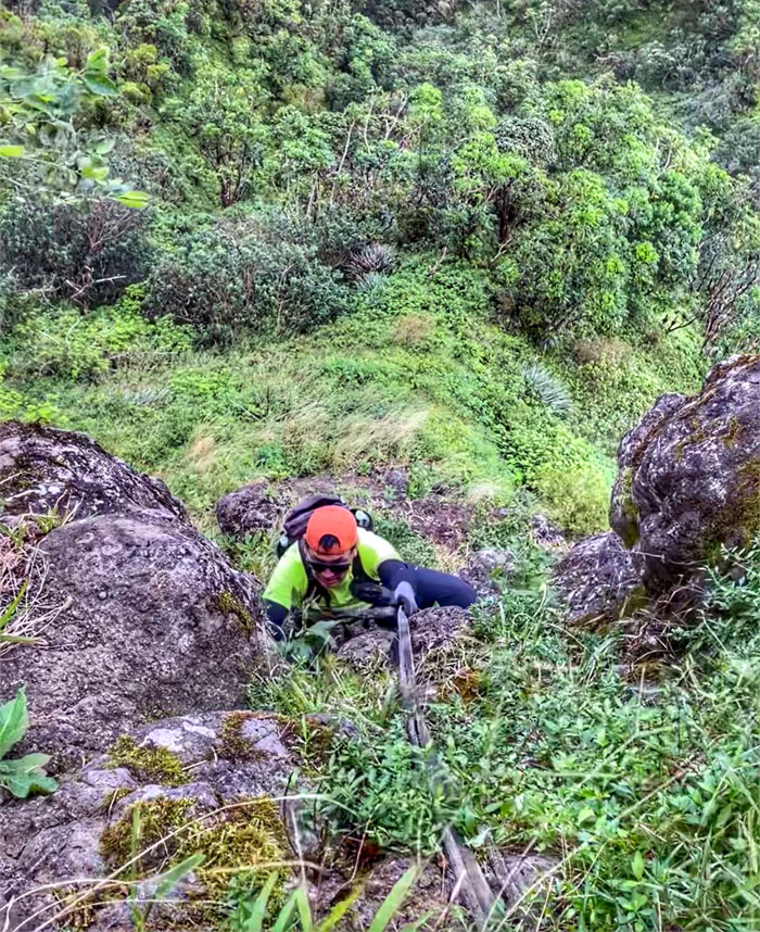
Dirt Triangle
The climb sheltered us briefly from the raging winds.
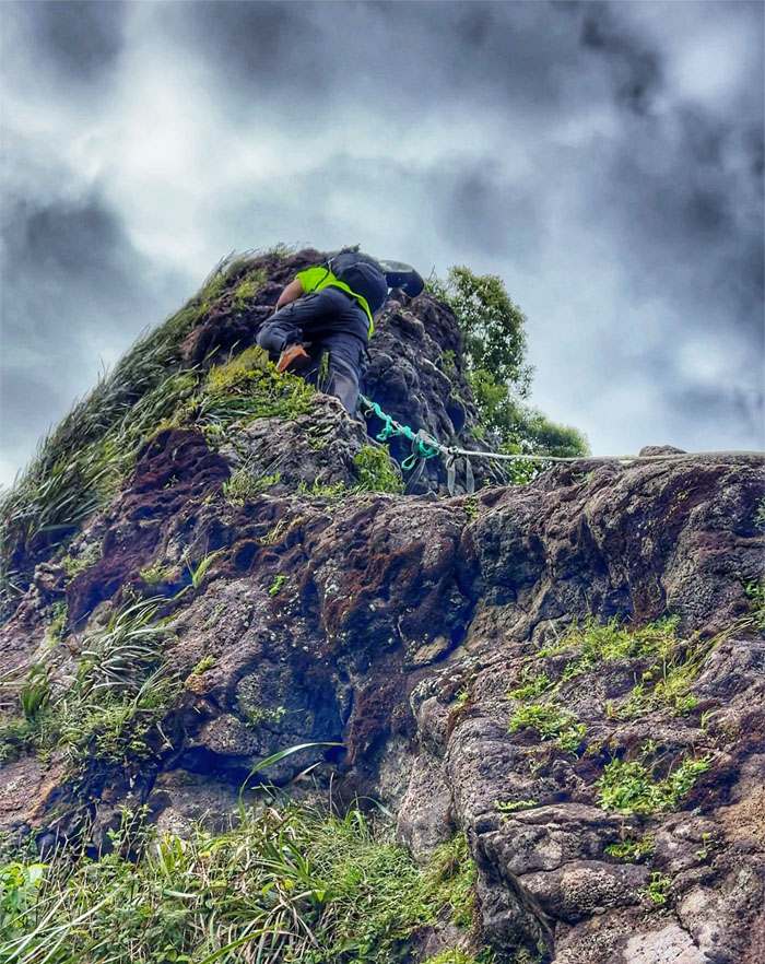
Moanalua Saddle
Back to having our butts hanging in the blustery breeze.
Moanalua Saddle
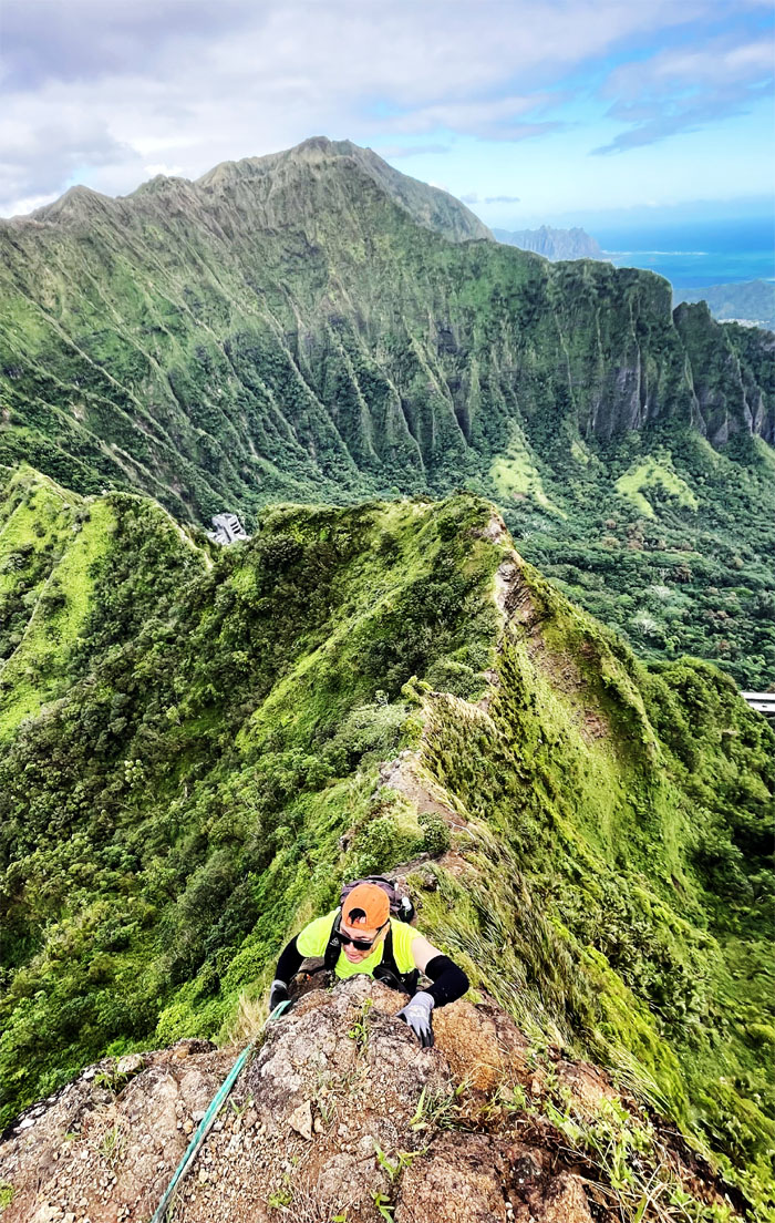
Climbing up the crumbly section with the wind blowing dust in every exposed orifice. Fun times. Not really.
Moanalua Saddle
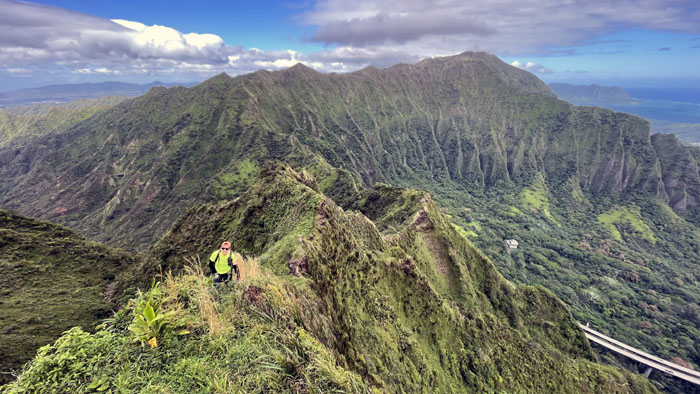
Leaving all the “technical” sections behind us as we ascended the ridge line.
Moanalua Saddle
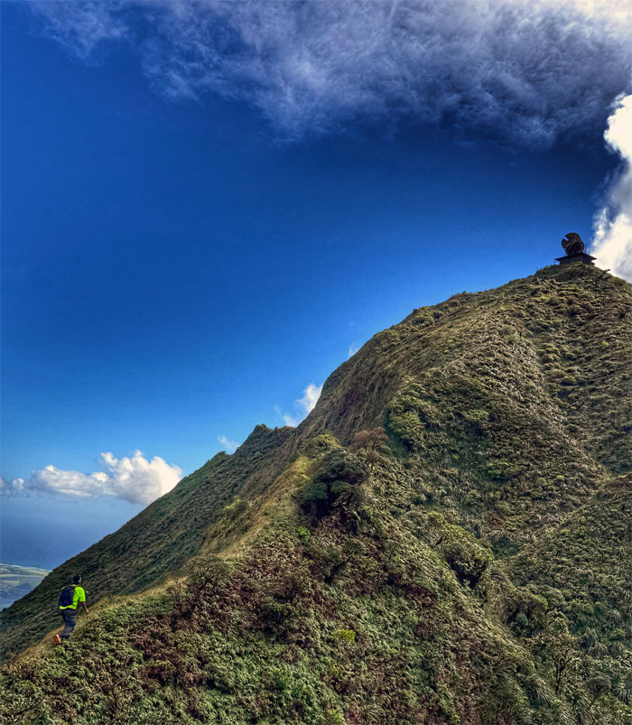
There’s a guy who’s sure all that matters is mud
And he’s hiking stairway to heaven
When he gets there he knows, if the views are all closed
With a wait he can get what he came for
Ooh, ooh, and he’s hiking stairway to heaven
Moanalua Saddle
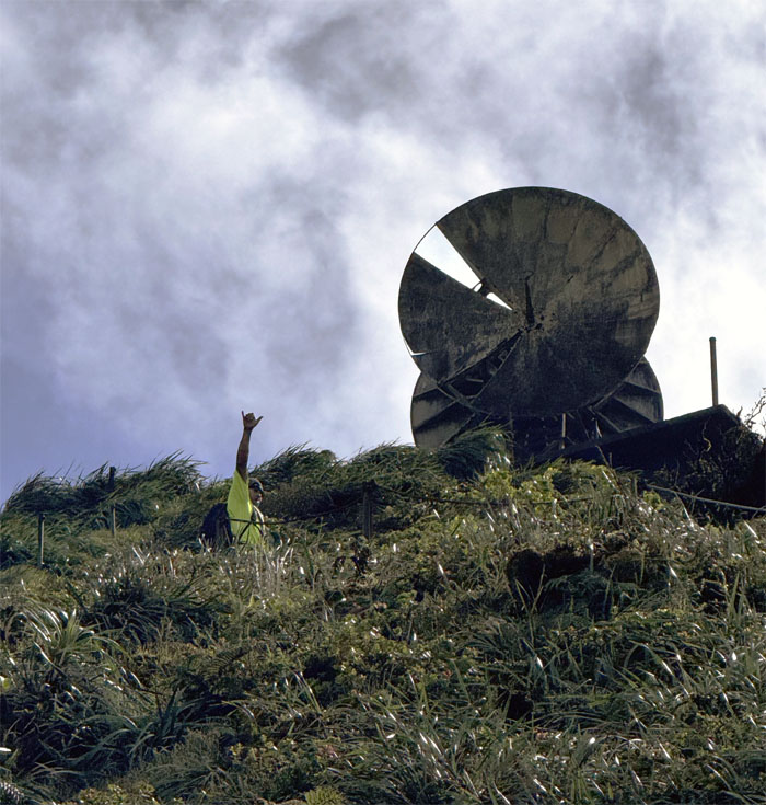
CB throwing the shaka as he neared the CCL building that was constructed in 1942 to house backup equipment for the ground communication links. The US Air Force installed the microwave dishes in 1954 to serve as an unattended microwave relay station.
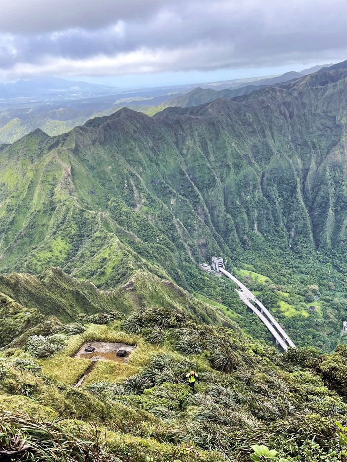
Moanalua Saddle
Crossing over the last of three landings before climbing to the 2,850′ peak of Keahi a Kahoe.
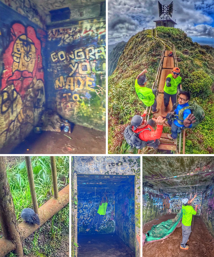
Pu’u Keahi a Kahoe
We found Jesus at the top, a mouse scurrying around, an unattended tarp that CB took down and two out of towners, Bryan and Rick, visiting from LAX and SFO respectively.
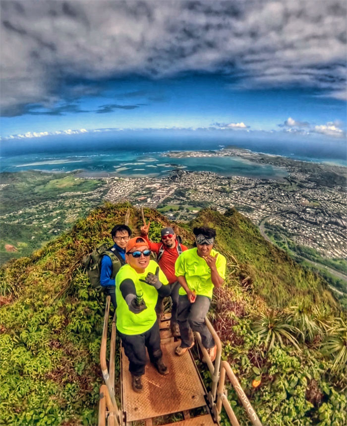
Pu’u Keahi a Kahoe
The fate of the storied stairs is still trapped in legal limbo since the city council voted in 2021 to tear down the stairs and removal work actually started in 2024. The non-profit organization, Friends of Haiku Stairs, filed an injunction to stop the demolition which was granted and now the stairs sit in purgatory, between heaven and hell.
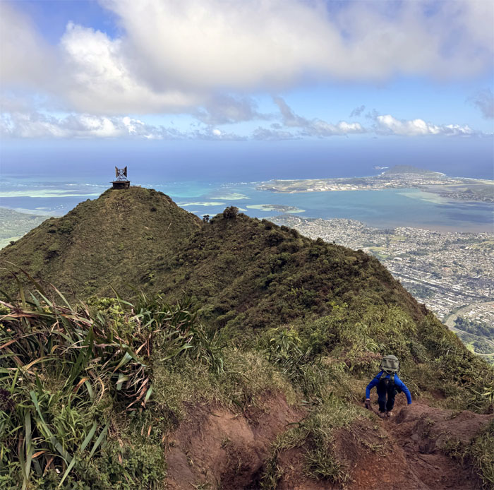
Ko’olau Summit Ridge Trail (KSRT)
We decided to abort the continued hike towards Kalihi Saddle due to an abundance of caution and abundance of high winds, really high winds. Our group reconstituted to four again, as Brian and Rick joined us on our hike back down to the valley.
Moanalua Middle Ridge (MMR)
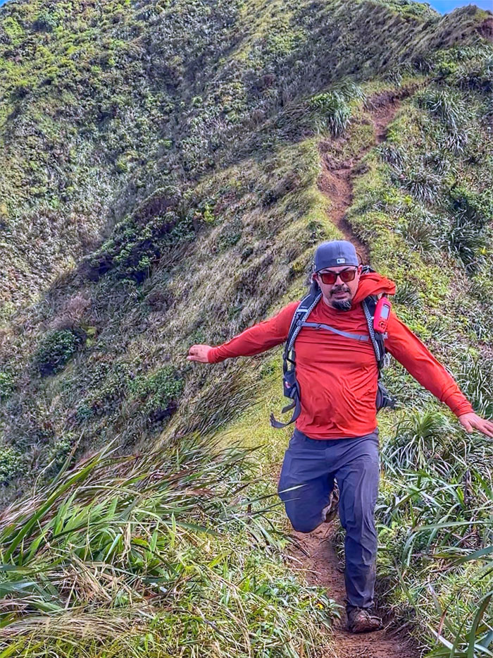
Rick rushing down the relatively flat section of the ridge line to avoid being tossed like a rag doll in the windy conditions.
MMR
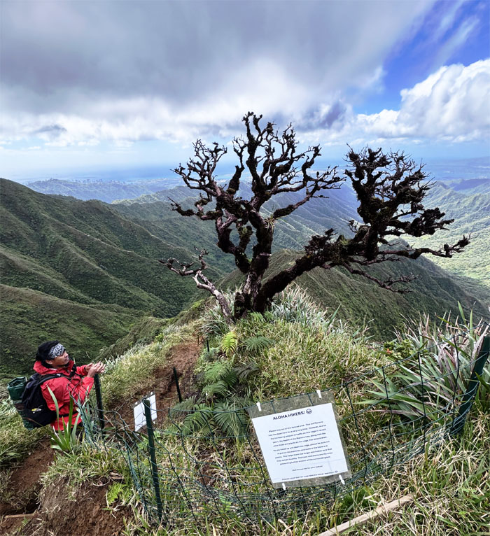
Passing the Manono tree which was in danger of becoming a snag, until Ted Calvero stepped in and spearheaded efforts to save the tree, which unfortunately looks to be standing on its last roots.
MMR
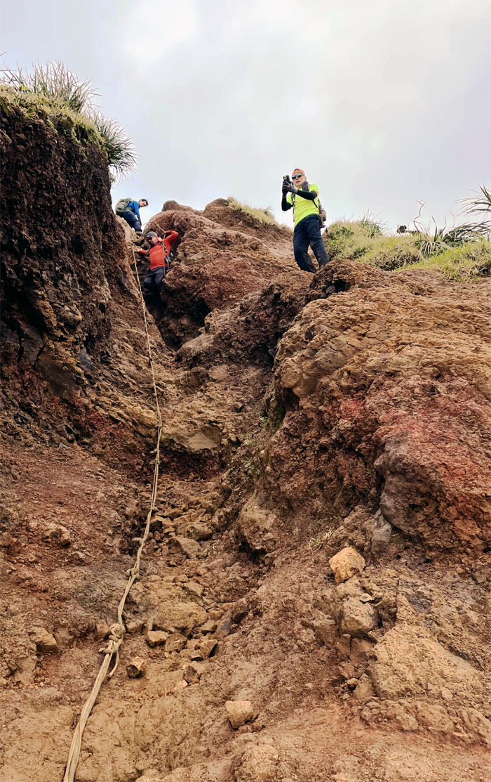
Erosion at work. This used to be all flat and covered with grass.
MMR
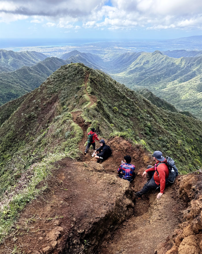
Passing a stream of hikers making their way up to the wind and sun kissed summit.
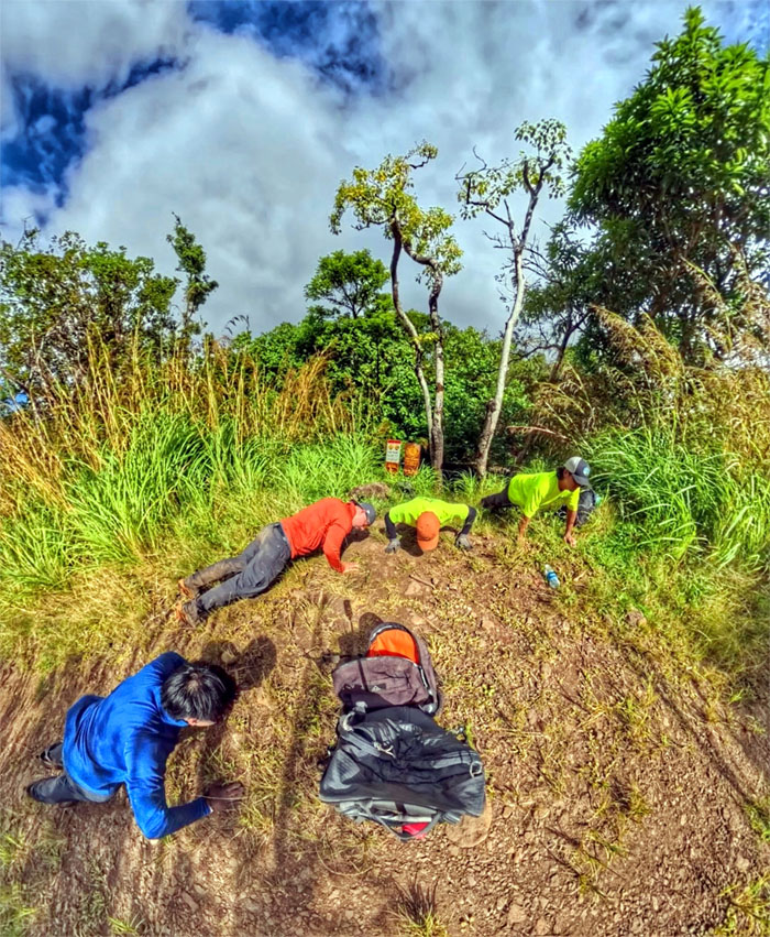
Kamananui Valley Trail
I asked the guys to do the 22 Pushup Challenge with me. Brian thought I was joking as doing extra physical activity after an exhausting hike down the eroded ridge was the last thing on his mind. The challenge started back in 2011 to raise awareness as 22 veterans were committing suicide daily. If you see a veteran or person struggling, lend a hand or an ear. Happy Veterans Day to my fellow veteran hikers; Chico Cantu, Dave Katz, Ferlino Carinio, Jay Tuck, Matt Vidaurri and all veterans.
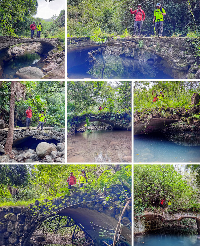
All pau
Counting the seven bridges until we exited made the time fly by faster.
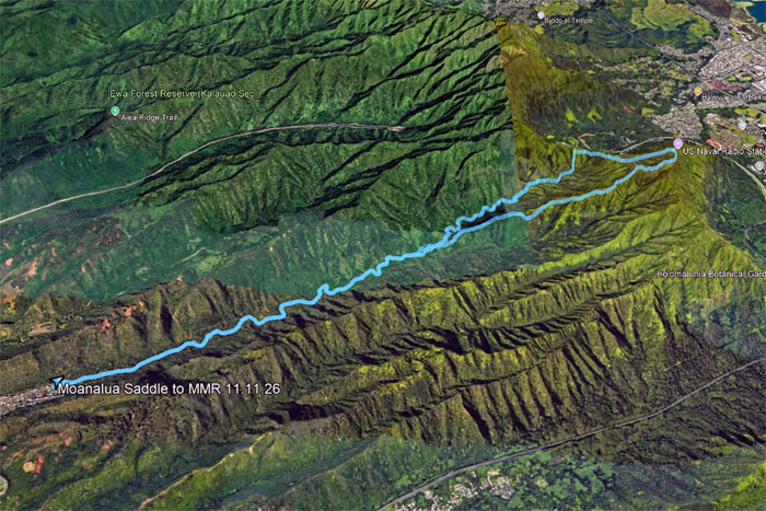
GPS Tracks
Our windy as hell hike covered 10.2 miles that covered crumbly terrain backlit by verdant views. Post hike meal at Alley Restaurant where we introduced our new friends to local dishes and were also joined by Aida, Edgar and Cat, and Marilyn. Thanks to Cat for my patriotic hat and now I can be matchy matchy with Ferlino.
Photos/Crew taken by Brian Yeh, Chris Bautista, Rick Barajas and yours truly. Not necessarily in order.
Note: I have been made aware that some hikers have been using my blog as a hiking guide and getting lost on the trails. Please note that this blog was made to document the hike for the crew(s) that did it. That is why some of my comments will seem to have no relevance or meaning to anybody outside of the crew(s) that hiked that trail. My blog was never meant as a hiking guide, so please do not treat it as such. If you find inspiration and entertainment from these hikes, that is more than enough. If you plan on replicating these hikes, do so in the knowledge that you should do your own research accordingly as trail conditions, access, legalities and so forth are constantly in flux. What was current today is most likely yesterdays news. Please be prepared to accept any risks and responsibilities on your own as you should know your own limitations, experience and abilities before you even set foot on a trail, as even the “simplest” or “easiest” of trails can present potential pitfalls for even the most “experienced” hikers. One should also always let somebody know of your hiking plans in case something doesn’t go as planned, better safe than sorry.

{ 0 comments… add one now }