
Glenn wanted me to set up a hike to this picturesque summit in the Ewa Forest Reserve for his 24 hour fitness buddies. A social mixer hike. The only problem was that his social buddies decided to work out at 24 Hour Fitness instead. At least Alexis, Brian, Chris, Dale, Daryl, Ferlino, Glenn and Josh showed up at Helemano.
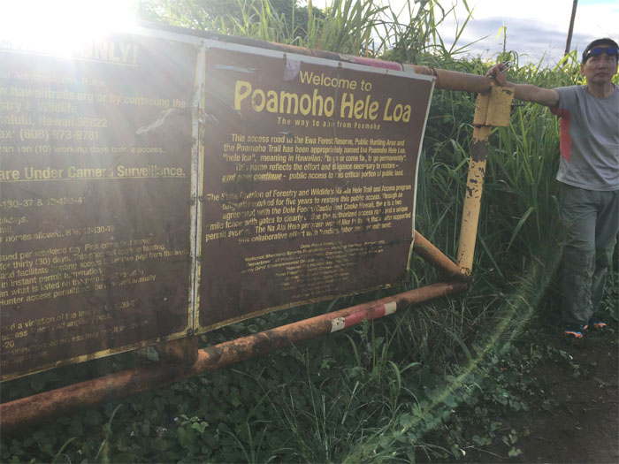
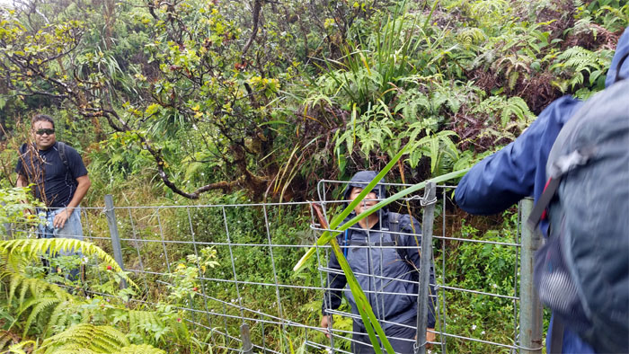
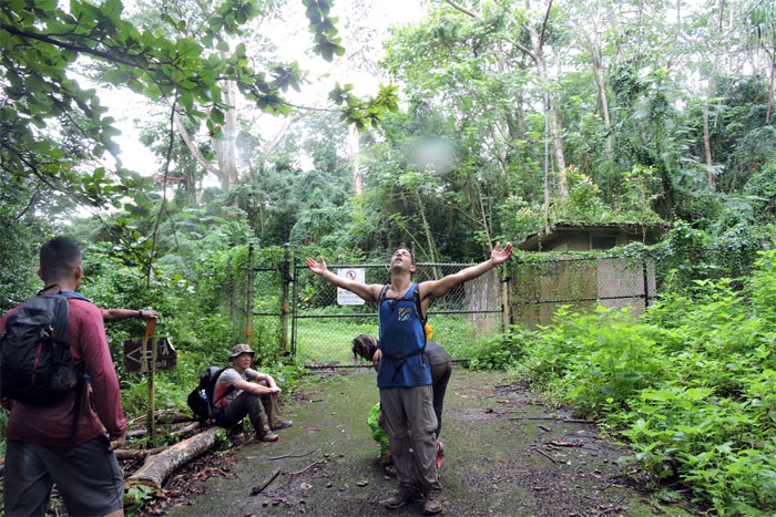
Gate
Permit in hand, we swung the gate open to the six mile jeep road. Thanks to Brian and Glenn for driving up the road in their 4x4s. Photo by Dale Yoshizu.

Access Road
Ferlino clearing the trail of any stray branches that might scratch Glenn’s truck. Heaven forbid.
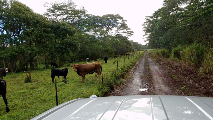
Poamoho Road
I’m sure glad the cows kept to their side of the fence today.
Poamoho Road
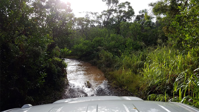
Off-roading through the deep ruts made by the lead 4×4. Thanks Brian.
Poamoho Road
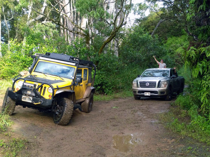
One truck got the “shake, rattle and roll” treatment more than the other. Guess which one? Photo by Alexis Widick.
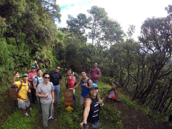
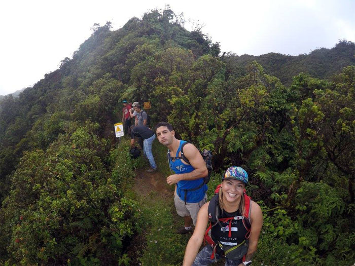
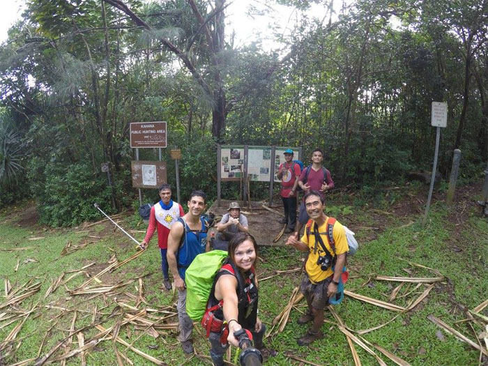
Trailhead
Group photo left to right: Dale, Chris, Glenn, myself, Brian, Ferlino, Josh, Alexis and Daryl.
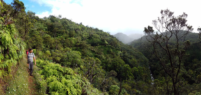
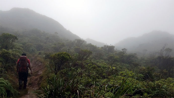
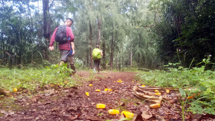
Poamoho Trail
Poamoho stream trickling in the valley below us.
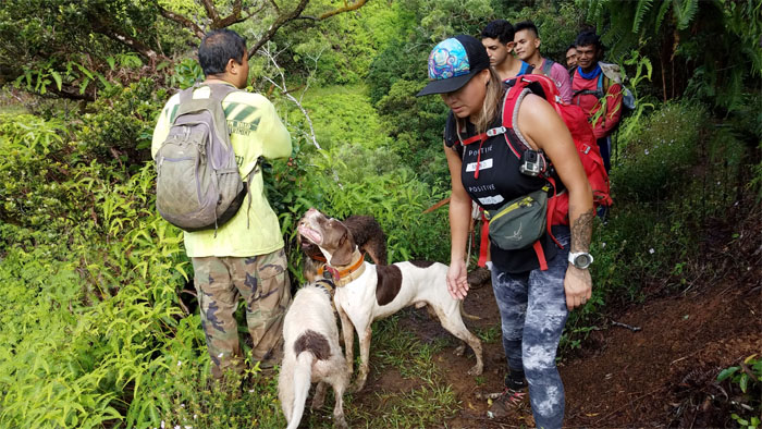
Poamoho Trail
Speak softly so the hunting dogs will not follow.
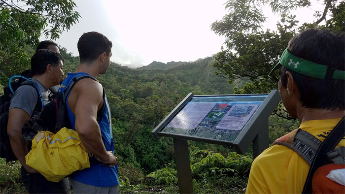
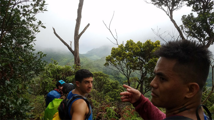
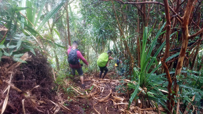
Poamoho Trail
Learning about the history of the Ewa Forest Reserve.
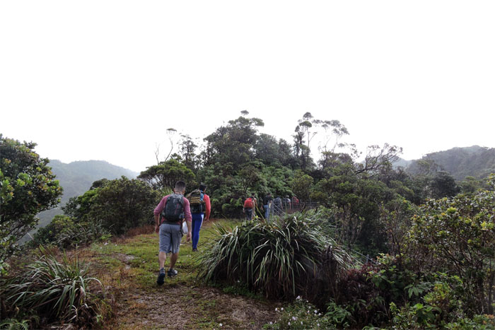
Poamoho Trail
Transitioning from the maintained to the unmaintained trail. Photo by Alexis Widick.
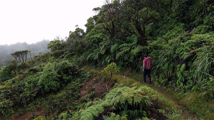
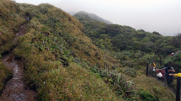
Poamoho Trail
Following the fence line up the ridge. Photo by Dale Yoshizu.
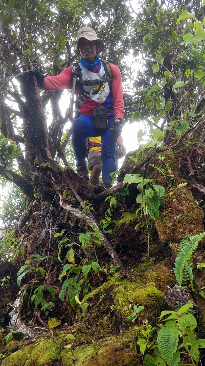
Poamoho Trail
Chris crossing the landslide section of the trail.
Poamoho Trail
Ferlino and Dale crossing the stream through the gulch crossing.
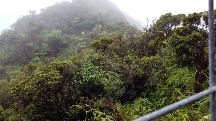
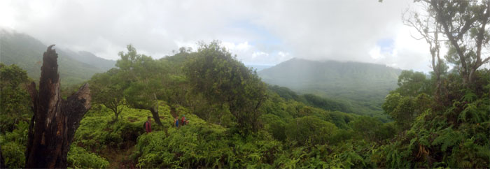
Poamoho Trail
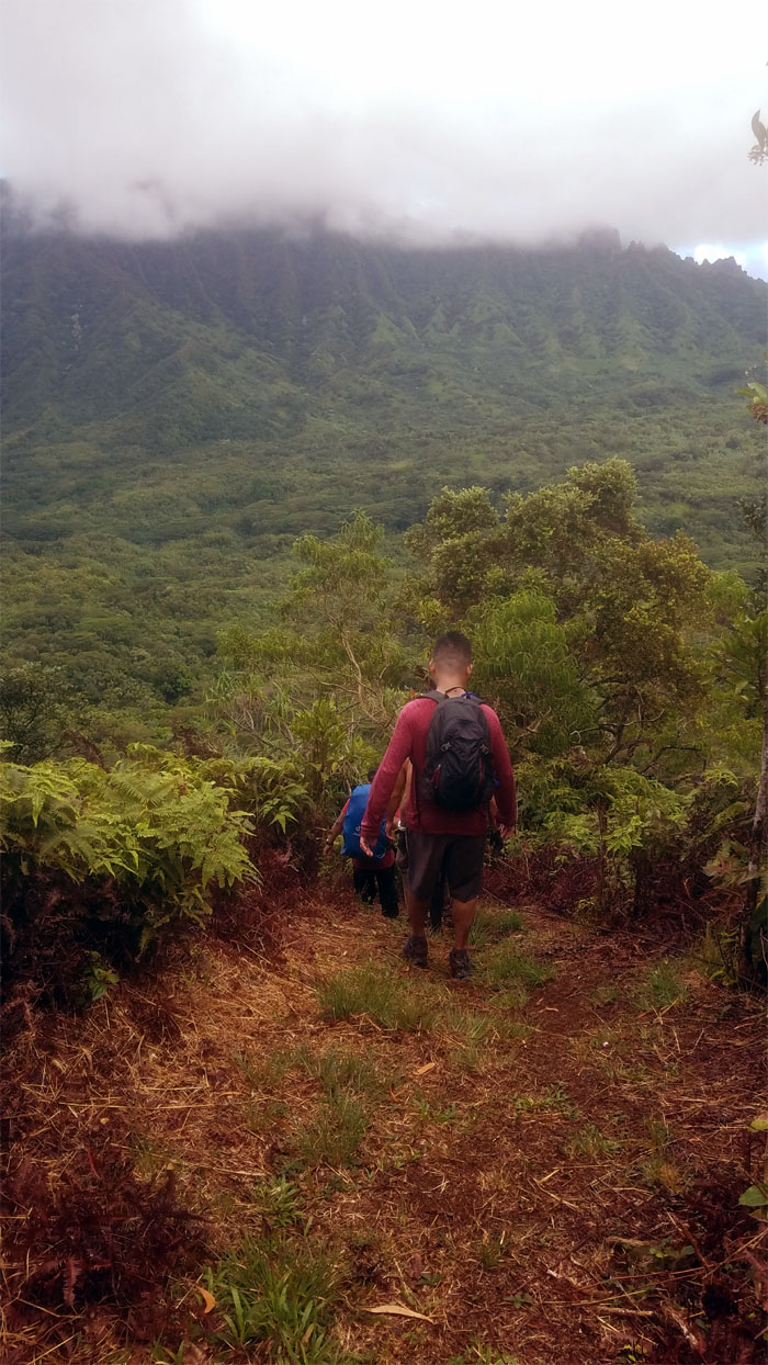
Approaching the socked in summit.
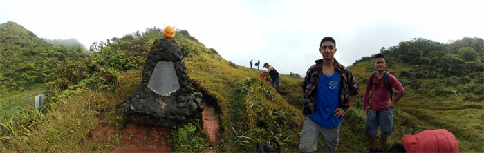
Poamoho Summit
Hanging out near the Cline Memorial.
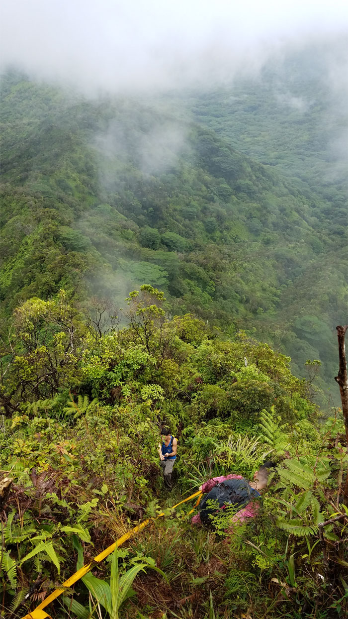
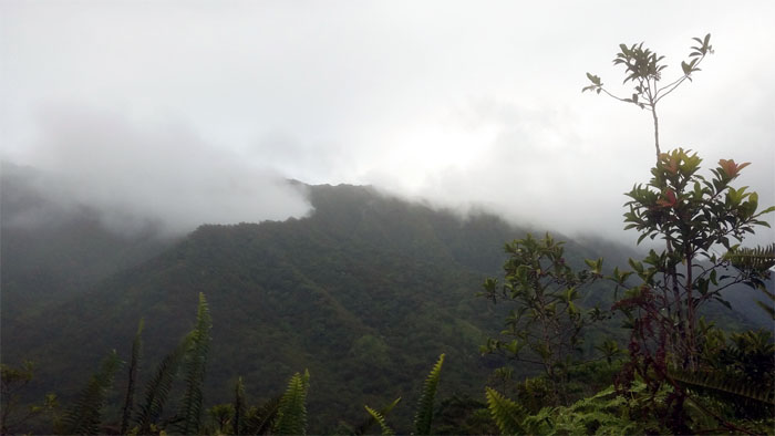
Poamoho Summit
Taking in the fleeting valley views from the 2,520′ summit, where windy conditions brought in more clouds and lowered the temperature. Photo by Alexis Widick.

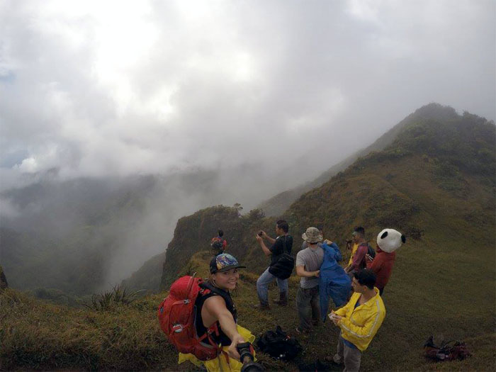
Poamoho Summit
We took a bunch of pics, hoping that the clouds would clear in due time. Expectations clouded our judgment, so we left the summit and contoured on the Leeward side to reach the cabin.
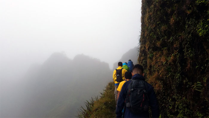
Ko’olau Summit Ridge Trail (KSRT)
Following the boardwalk that gave us a brief stay from the cloying mud. Photo by Dale Yoshizu.
Ko’olau Summit Trail (KST)
Stepping off the boardwalk and onto the muddy switch backing trail.
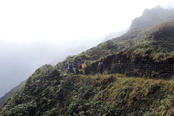
Ko’olau Summit Trail (KST)
Contouring around the fenced Leeward side of the ridge.
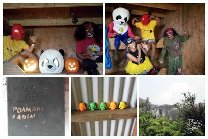
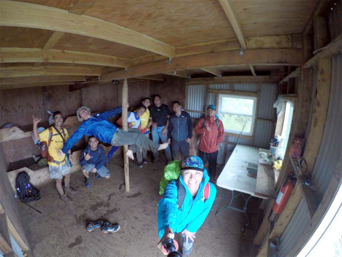
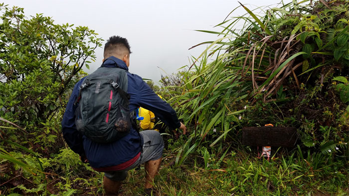
Poamoho Cabin
Carved pumpkins and assorted characters hanging out in the cabin.
Poamoho Cabin
Where failed pole dancers go to retire, toiling in anonymity. Photo by Alexis Widick.
KST
Brian and Glenn taking their leave of us as they had to drive the trucks back down the road. Thanks again for the ride guys.
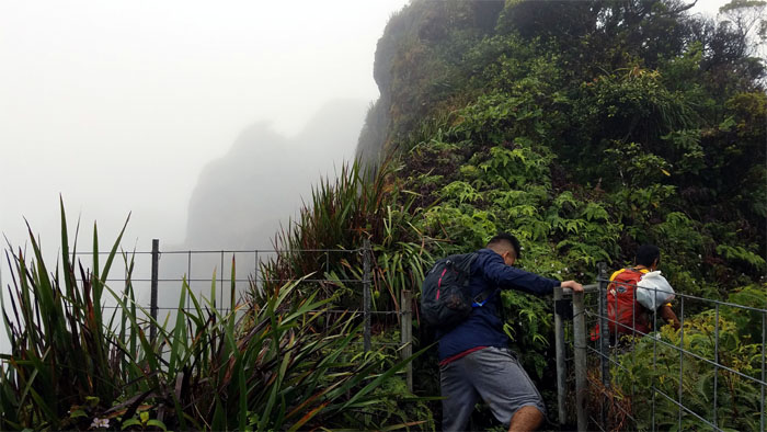
KST
Passing through the gate as we contoured on the Leeward side.
KST
Approaching the man made notch from the Windward side of the ridge.
KST
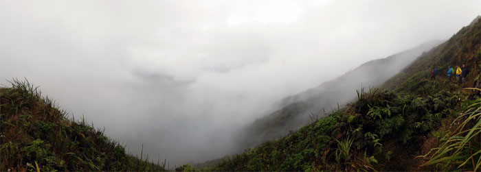
Looking down into the cauldron of churning clouds in Kahana Valley.
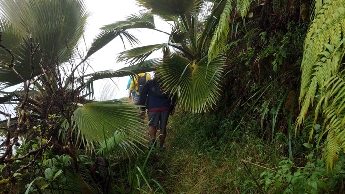
KST
Rustling our way through the loulu palm trees.
Pauao Junction
Leaving the KST and going down the Windward ridge from 2,680′ elevation. Hats off to the HTMC for clearing this trail recently, giving us easier passage.
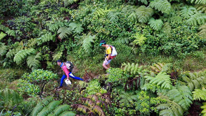
Pauao Ridge
Descending down the steep pitch of the ridge.
Pauao Ridge
Looking into Kahana Valley.
Pauao Ridge
Ferlino and Dale making their way down the moss carpeted trail.
Pauao Ridge
The ridge soon leveled off to a more walkable grade.
Pauao Ridge
Leaving the clouds behind us as we quickly lost elevation on the cleared trail.
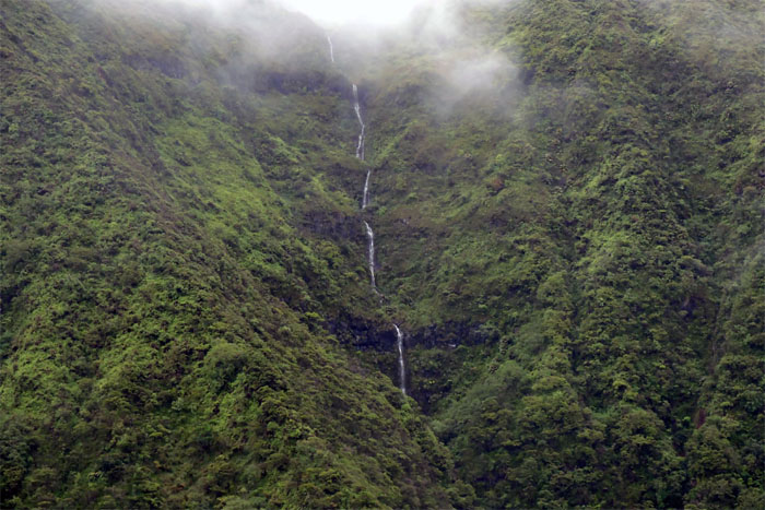
Pauao Ridge
Looking back, we saw a multi-tiered waterfall. Photo by Dale Yoshizu.
Pauao Ridge
Heading down into the valley floor.
Pauao Ridge
Sliding down the slippery slope of wet hala leaves.
Pauao Ridge
Making our way down the “candy corn lane.”
Kahana Valley
Somebody was happy to be off the ridge. Photo by Dale Yoshizu.
Kahana Valley
It was a soggy but satisfying hike up and down the ridges.
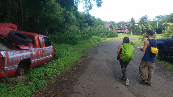
All pau
Walking out to Chris and Ferlino’s vans that we had staged earlier in the morning for our ride back to Helemano.
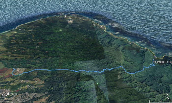
GPS Tracks
Our pre-Halloween hike covered 13.97 miles through the raw, rugged beauty of the Northern KST. It was a day well spent with a fun group. Post hike meal at Dot’s in Wahiawa. Somebody didn’t show up even after somebody else washed their truck.
Note: I have been made aware that some hikers have been using my blog as a hiking guide and getting lost on the trails. Please note that this blog was made to document the hike for the crew(s) that did it. That is why some of my comments will seem to have no relevance or meaning to anybody outside of the crew(s) that hiked that trail. My blog was never meant as a hiking guide, so please do not treat it as such. If you find inspiration and entertainment from these hikes, that is more than enough. If you plan on replicating these hikes, do so in the knowledge that you should do your own research accordingly as trail conditions, access, legalities and so forth are constantly in flux. What was current today is most likely yesterdays news. Please be prepared to accept any risks and responsibilities on your own as you should know your own limitations, experience and abilities before you even set foot on a trail, as even the “simplest” or “easiest” of trails can present potential pitfalls for even the most “experienced” hikers.
{ 0 comments… add one now }